Parking
Use the north end of Loft Mountain Wayside parking at Skyline Drive mile 79.5, then cross Skyline Drive to the blue-blazed trail. A Shenandoah entrance fee applies.

Shenandoah National Park, VA
A short climb to rocky overlooks above Loft Mountain's forest.
Overview
Map & elevation
Plan your hike

The highest, rockiest slopes around here are a summer buffet for grizzly bears.
Shenandoah Tour Guide
Parkwolf is a GPS audio tour guide for Shenandoah National Park. As you drive, it chimes in with what’s ahead: hidden gems, upcoming stops, history, geology, and wildlife, right through your car’s speakers.
See the Shenandoah audio tourRecorded for this trailhead
Loft Mountain Wayside: Milkshakes and a Short Hike“You're coming up on Loft Mountain Wayside, a handy seasonal stop for sandwiches, milkshakes and a break from driving. I'd look for a black raspberry milkshake if you want a treat.”
Plays as you drive up to this trailhead in the Parkwolf Shenandoah Tour Guide.
More stories near here in the app
“Fantastic app with many points of information… It’s great to just turn on while you’re driving and it gives you an audio tour of the national Park. We love it!!!!”


Trail guide
Frazier Discovery Trail is a 1.2-mile loop from the north end of Loft Mountain Wayside, through mixed-age woods to rocky overlooks on Loft Mountain. It is a good pick when you have about an hour and want a few open views without committing half a day. The park describes a 1.2-mile loop with 429 feet of climbing; some track totals run a few tenths longer, so follow the blue-blazed circuit described here. Allow about one to one and a half hours if you plan to stop at the overlooks.
The distance is short, but the grade is not gentle throughout. The park calls the hike easiest and also warns of very steep sections; the rocky tread can make it feel moderate if you expected a level walk.
Begin at the north end of the wayside parking area at Skyline Drive mile 79.5 and cross the road to the trail. At the first junction, turn right for the steep climb. When the blue-blazed route meets the Appalachian Trail, turn left and follow it briefly; at the next trail post, turn left again onto the blue-blazed descent to close the loop. Pay attention at those junctions: the hike uses only a short stretch of the AT, not a long section of the trail.
The path climbs through woodland on a narrow, earthy tread with rocky patches. A tall fin-shaped rock is an early landmark; farther on, the trees open at rocky ledges with views west over forested slopes and mountain ridges. A second overlook sits off a short spur. Keep to the marked path around the rock edges, especially when the stone is wet. For a photo, include a little of the ledge in the foreground so the wooded ridges do not flatten into a green wall.
The trail passes through woodland of different ages, and its flowering plants support butterflies as well as birds. Species recorded around the site include eastern towhee, gray catbird, Carolina chickadee, tufted titmouse, and several warblers; butterflies include skippers, blues, hairstreaks, and red-spotted purple. Treat these as possibilities, not a checklist: you may hear more than you see.
The trailhead is at the north end of Loft Mountain Wayside parking; the route crosses Skyline Drive. A Shenandoah entrance fee applies. Restrooms are available at the wayside, and the nearby wayside shop and campstore offer snacks or food when their seasonal services are operating. Water at this stop can be intermittent and is shut off in winter, so do not count on it year-round. Pets are not allowed on this trail; service animals are welcome. The route does not meet ADA trail guidelines.
Wildlife
 325 sightingsBlack BearMost seen around 6 AMSighting map
 21 sightingsBald EagleMost seen around 10 AMSighting map
 1,036 sightingsWhite-tailed DeerMost seen around 7 PMSighting map
 167 sightingsWild TurkeyMost seen around 7 AMSighting map
 93 sightingsTimber RattlesnakeMost seen around 6 PMSighting map
 24 sightingsCoyoteMost seen around 6 AMSighting map
Sighting maps show where each species has been reported across Shenandoah. Wildlife moves, so no sighting is guaranteed.
Keep exploring
 ChallengingPatterson Ridge - Big Run Portal Loop11.4 mi · 8 hr · At the trailheadCreek crossings lead to a hard climb and a wide ridge panorama.
 ModerateLoft Mountain Loop2.1 mi · 1.8 hr · At the trailheadFrazier rocks, Appalachian Trail views, and a fire-road return loop.
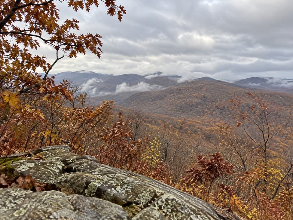 ModerateBig Flat Mountain Loop4.7 mi · 2.8 hr · 0.1 mi awayCampground paths lead to Appalachian Trail views over Massanutten.
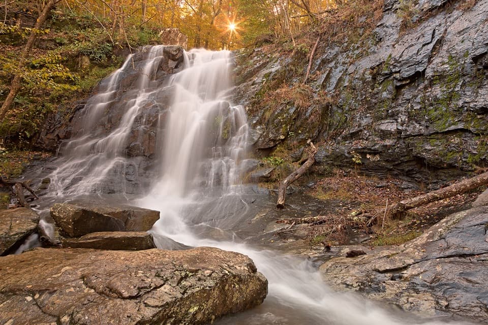 ChallengingBig Run, Doyles River, and Frazier Loop18.1 mi · 12.5 hr · 0.1 mi awayThree waterfall valleys make this a serious backcountry loop.ModerateLoft Mountain to Jones Run Backpacking Route9 mi · 8 hr · 0.1 mi awayTwo nights on the trail, three waterfalls, and a point-to-point finish.
 ChallengingPatterson Ridge Trail6.2 mi · 4.5 hr · 0.1 mi awayA strenuous ridge out-and-back with a long climb from Big Run.ChallengingDoyles River–Jones Run Loop8 mi · 5.5 hr · 1.4 mi awayThree waterfalls, two creek trails, and an Appalachian Trail return.ChallengingJones Run, Big Run & Brown Mountain Backpacking Loop29 mi · 20 hr · 1.4 mi awayThree waterfalls and four days around a rugged mountain watershed.
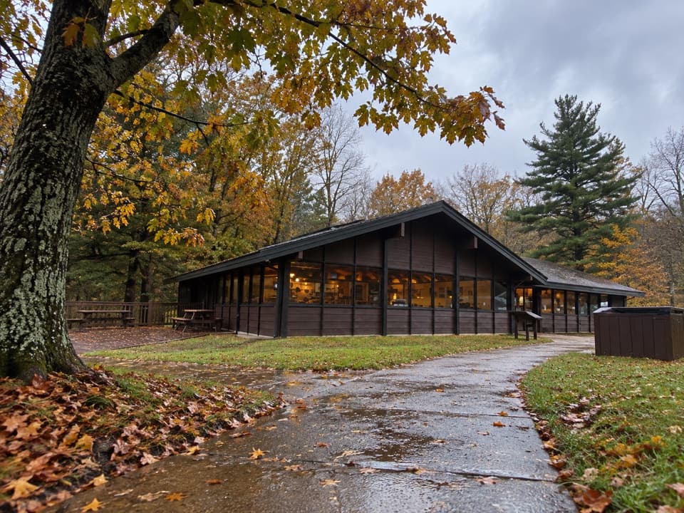 Food · 0.1 mi awayLoft Mountain WaysideA practical mile-79.5 break for shakes, souvenirs and picnic tables.
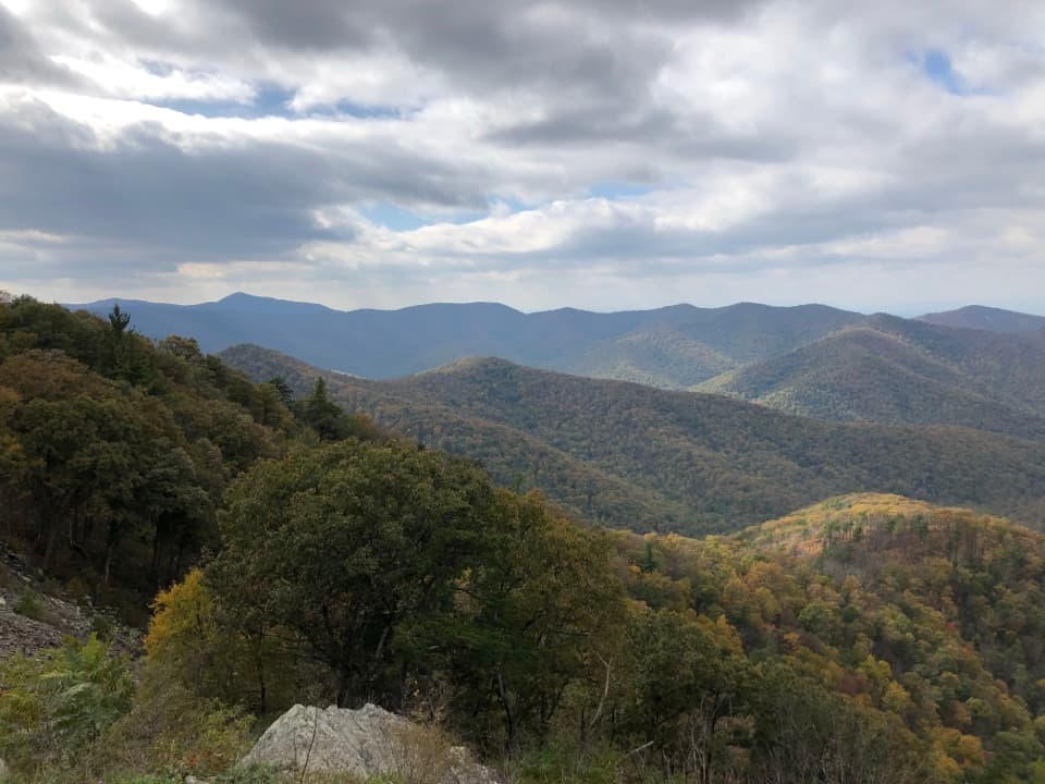 Sight · 1.1 mi awayRockytop OverlookA quick pull-off with a wide view across the southern Blue Ridge.
 Campground · 1.3 mi awayLoft Mountain CampgroundA ridgeline camp with sunset views and waterfall hikes nearby.
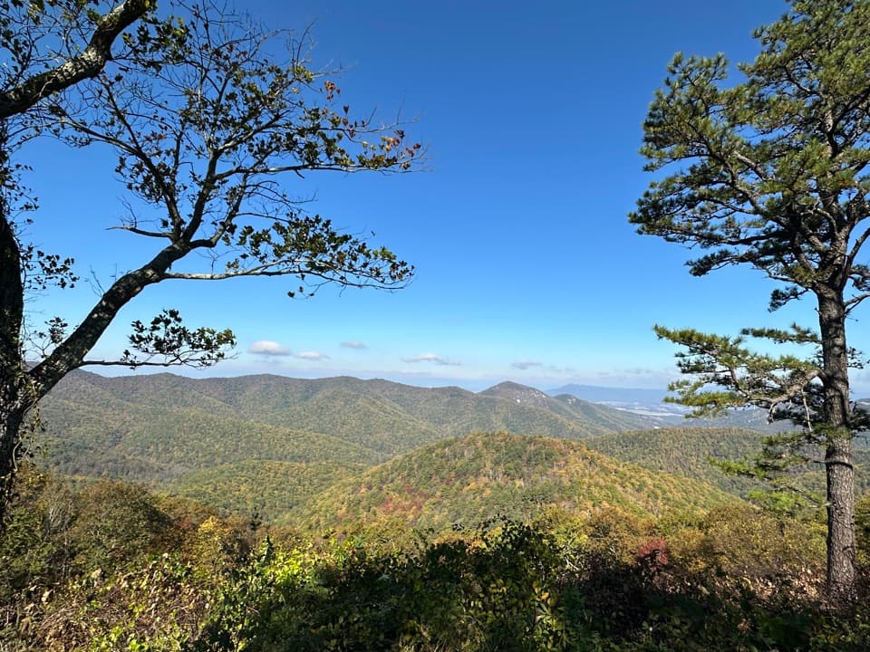 Scenic pullout · 1.4 mi awayBig Run OverlookA Skyline Drive overlook with a public seasonal photo station.
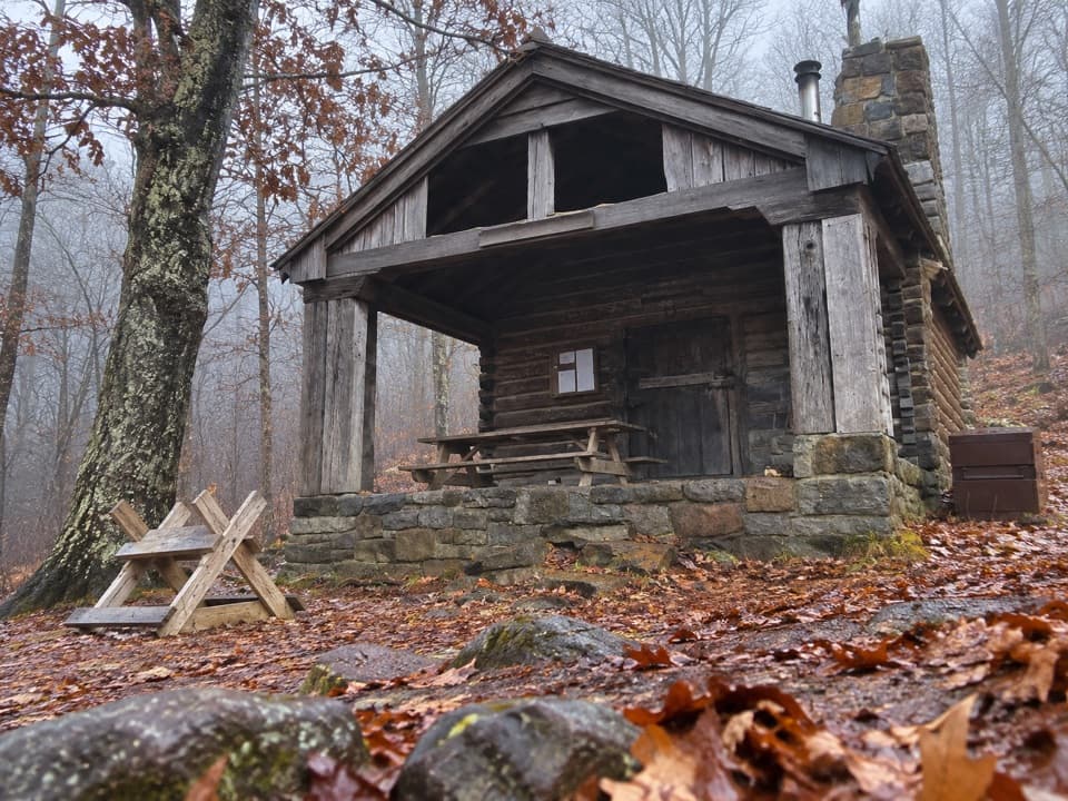 Lodging · 1.5 mi awayDoyles River CabinA CCC cabin stay with a porch over Cedar Mountain.
 Scenic pullout · 1.5 mi awayIvy Creek OverlookWeaver, Loft, and Flattop line up across this quick roadside stop.
 Scenic pullout · 2.1 mi awayBrown Mountain OverlookA long roadside view over Big Run and the Blue Ridge.
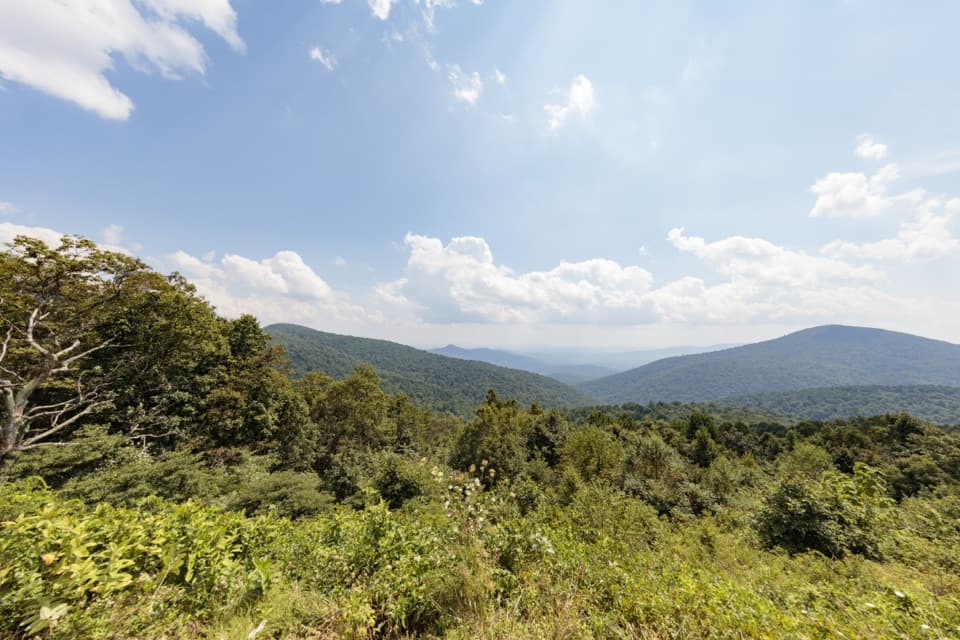 Scenic pullout · 2.2 mi awayDoyles River OverlookA south-facing cove view with a history worth pausing for.
Parkwolf’s Shenandoah ranking

The audio tour guide for the drive, plus offline maps, trails, and wildlife heatmaps for when the signal drops.





