Moderate

Trayfoot Mountain - Paine Run Loop

Big views at Blackrock, quiet miles along Paine Run’s stream.
Trayfoot Mountain - Paine Run Loop, Shenandoah National Park
Distance9.6 mi
Typical time4.5 hr
DifficultyModerate
PetsAllowed

Why go

A classic South District loop that earns its miles with variety: a dramatic boulder-field summit, a quiet forested ridgeline, and a lush stream valley. At roughly 9.6–10 miles total, expect around 2,000+ feet of gain and a moderate to moderately strenuous day. It’s less famous than Old Rag, but many hikers prefer this one for the solitude once you leave Skyline Drive.

Highlights

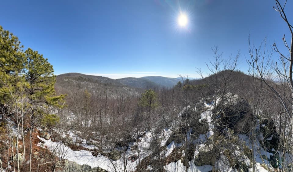
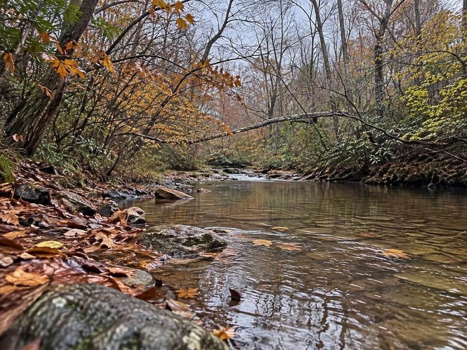
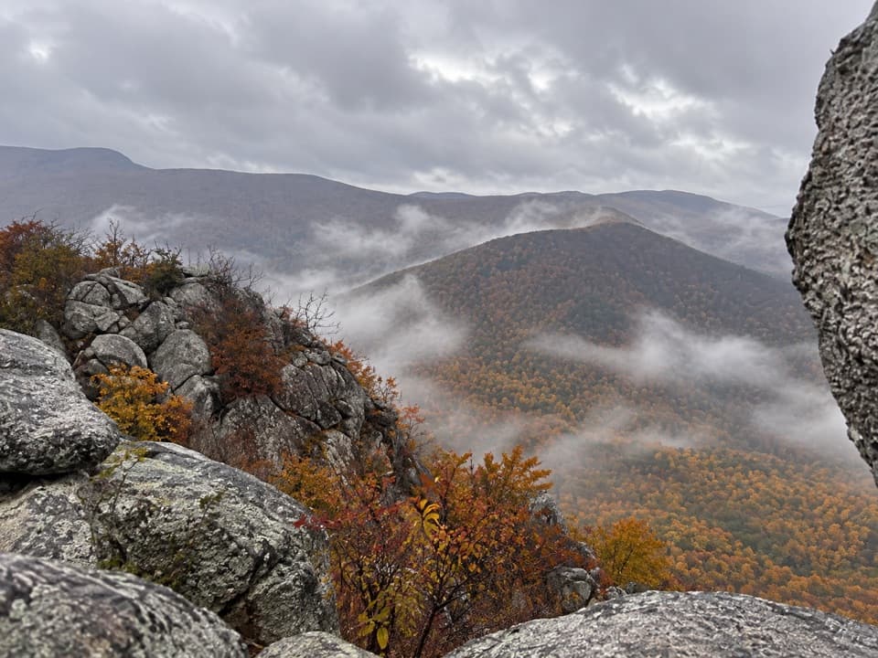
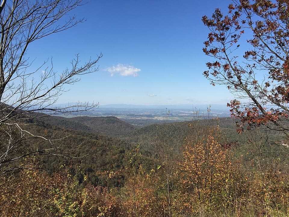
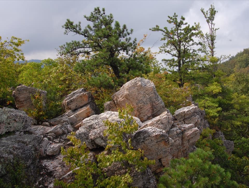
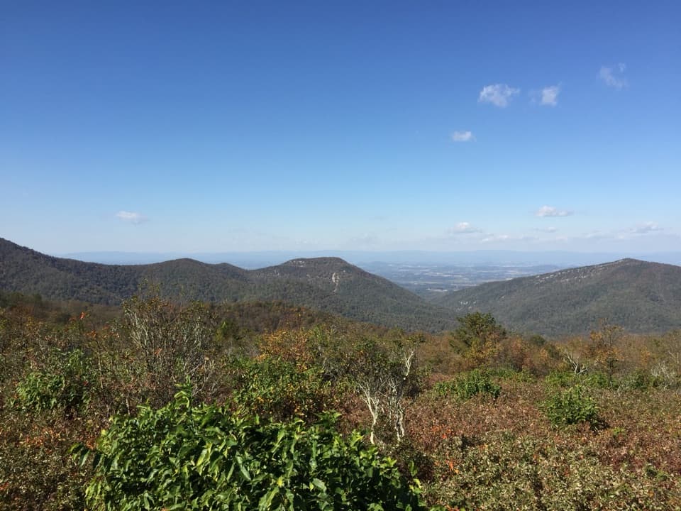
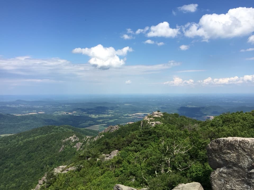
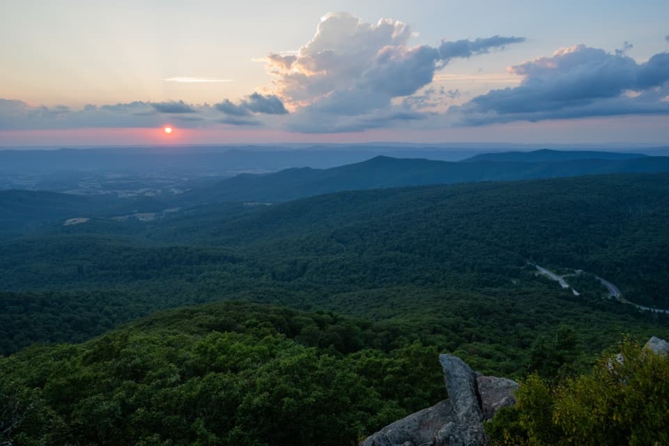
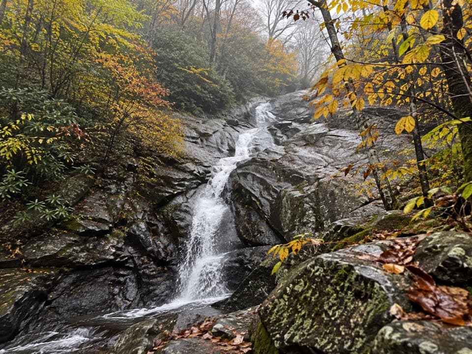
Start or finish with Blackrock Summit’s quartzite boulder field—huge, jumbled blocks with sweeping valley views. The Trayfoot Mountain ridge is mostly wooded with occasional peeks through the trees. The descent to Paine Run brings rhododendrons, ferns, mossy boulders, and a string of soothing stream sounds and crossings.

The route

Most hikers begin at Blackrock Summit parking on Skyline Drive, linking the Trayfoot Mountain Trail, Paine Run Trail, and the Appalachian Trail to form the loop. Clockwise is popular: visit Blackrock early, traverse the Trayfoot ridge, drop to Paine Run, then climb steadily back on the AT to close the loop.

What to expect

Footing ranges from smooth dirt to rocky, with some steep grades. Paine Run typically has several crossings—after heavy rain you may get your feet wet. Junctions are signed, but bring a map or GPS since a few intersections are easy to breeze past. Cell service is spotty, and parts feel remote despite starting near a busy overlook.

Nature notes

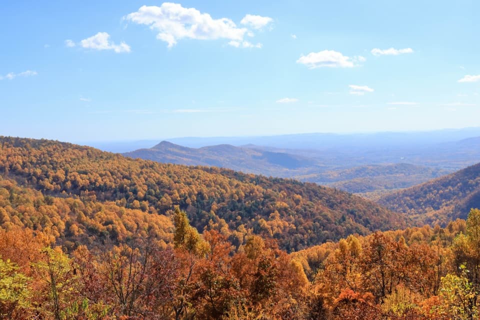
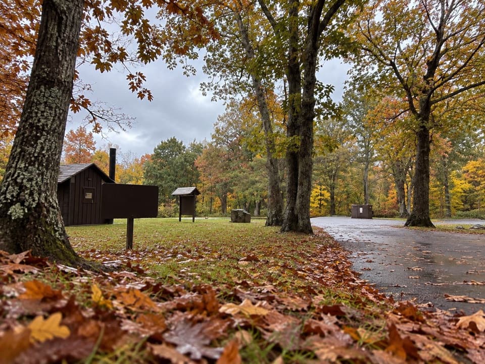
Blackrock’s striking quartzite boulders are a standout of Shenandoah geology. In spring and early summer, look for lush greens and wildflowers along Paine Run; in fall, the valley blazes with color. Wildlife sightings can include white-tailed deer, black bear, and wild turkey.

Best time to hike

Spring and fall are prime: cooler temps, flowing water, and clear views before/after leaf-out. Winter brings the best long-range vistas but watch for ice on rocks and at stream crossings. Summer is beautifully green but humid—start early and pack extra water.

Tips

  • Wear waterproof boots and bring trekking poles for the rocky tread and stream crossings.
  • Start early on weekends; Blackrock can draw crowds, but you’ll have solitude beyond it.
  • Treat all water; Paine Run is the reliable source, not the ridge.
  • Day hiking requires no permit; for overnight camping along the loop, get a backcountry permit and use established sites away from the stream, following park guidance.
  • Standard bear-smart practices apply.

Pros

  • Combines Blackrock’s panoramic boulder field with true backcountry solitude
  • Reliable water along Paine Run makes this a flexible overnight loop

Cons

  • Trayfoot ridge is mostly viewless when leaves are on
  • Multiple stream crossings can be tricky after rain

Parking

Park at the Blackrock Summit parking area on Skyline Drive; arrive early on weekends.

Caution

Rocky, uneven footing and several stream crossings; can be slick or require wet feet after rain. Navigation is straightforward but carry a map or GPS—cell service is spotty.

The Parkwolf tour guide sitting on a phone mounted in a car

Parkwolf Tour Guide

Like a tour guide in your car.

Bring Shenandoah trail research into the car, with offline maps and stories that play as you drive.Download Parkwolf on the App Store