Parking
Start and finish at the Blackrock Gap parking area on Skyline Drive, around milepost 87.4. The older itinerary rounds this to mile 87.
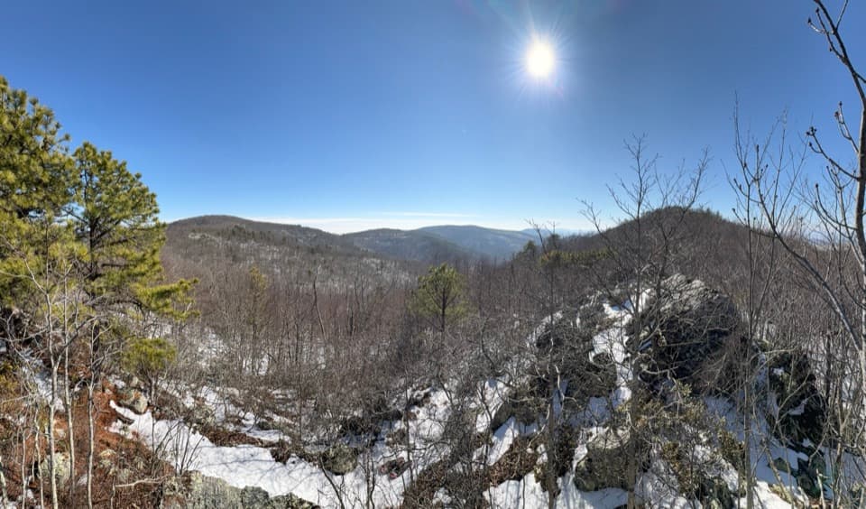
Shenandoah National Park, VA
A three-day backcountry loop with river crossings and rocky overlooks.
Overview
Map & elevation
Plan your hike

The highest, rockiest slopes around here are a summer buffet for grizzly bears.
Shenandoah Tour Guide
Parkwolf is a GPS audio tour guide for Shenandoah National Park. As you drive, it chimes in with what’s ahead: hidden gems, upcoming stops, history, geology, and wildlife, right through your car’s speakers.
See the Shenandoah audio tourRecorded for this area
Blackrock Gap: The Long Trayfoot–Paine Run Loop“You’re approaching Blackrock Gap, the start of the long Trayfoot Mountain–Paine Run loop.”
Plays near this trailhead in the Parkwolf Shenandoah Tour Guide.
More stories near here in the app
“Fantastic app with many points of information… It’s great to just turn on while you’re driving and it gives you an audio tour of the national Park. We love it!!!!”


Trail guide
Wildcat Hollow and North Fork Moormans River is a 21.5-mile backcountry loop from Blackrock Gap. It descends along the North Fork, crosses to the South Fork, then climbs back over Turk Branch, the Appalachian Trail, Wildcat Ridge and Riprap before returning to the car. The park still lists it as a two-night trip, but the step-by-step itinerary was last revised in 2006; check the current map and conditions before trusting every turn. This is an experienced backpacking trip, not a long day hike. Plan on three days. The suggested daily distances are 2.5–5 miles, 8.8–11.3 miles and 7.7 miles; campsite choice changes how much you cover on the middle day.
From Blackrock Gap, the old itinerary follows North Fork Moormans River Road for 2.2 miles, stays right at a fork and continues downstream as the road becomes trail. The North Fork leg totals 5.2 miles. This is the route’s most water-dependent stretch: there are several stream crossings, and the water can reach knee or waist depth in spring or after heavy rain. The park map advises avoiding crossings during flooding or icy conditions. Build flexibility into this section instead of treating the mileage as a fixed schedule.
After the North Fork, the route follows gravel road toward the reservoir and joins South Fork Moormans River Road. Its 2.1-mile stretch passes a swimming hole noted in the itinerary. The spot’s exact position and water level are not established, so count it as an opportunity, not a guaranteed swim. Carry water and treat or filter any stream water you use.
From South Fork, take Turk Branch for 2.1 miles, then go north on the Appalachian Trail for 2.3 miles to Wildcat Ridge. The itinerary breaks Wildcat Ridge into about 2 miles on the second day and another 0.7 mile downstream the next morning. That split helps shape the two-night trip, but today’s legal campsite locations depend on current rules and closures. The route links several named roads and trails rather than following one single named tread, so carry a current route map and make the turns deliberately. Cell and GPS service can be unreliable in the area.
From Wildcat Ridge, the loop follows Riprap for 4.5 miles, then turns north on the Appalachian Trail for 2.5 miles back to Blackrock Gap. The Riprap map marks Calvary Rocks and Chimney Rock across a gorge on this part of the walk. Calvary Rocks is more than a viewpoint: its white quartzite cliffs and boulder fields expose an ancient shoreline. The sand was laid down more than 500 million years ago, then compressed and altered as the Appalachian Mountains formed. It is one of the route’s clearest chances to see Shenandoah’s long geological story in the landscape.
Start and finish at the Blackrock Gap parking area on Skyline Drive, around milepost 87.4; the older itinerary rounds the access to mile 87. Overnight travel requires a backcountry permit, and you also need a valid park entrance pass. Campsites are dispersed and must meet current setback and closure rules, so use the current backcountry information and leave enough daylight to find a legal site. The NPS itinerary does not guarantee that a particular campsite remains available. Dogs are allowed on this route under the park’s normal leash rule; keep them on a leash no longer than six feet.
Wildlife
 325 sightingsBlack BearMost seen around 6 AMSighting map
 21 sightingsBald EagleMost seen around 10 AMSighting map
 1,036 sightingsWhite-tailed DeerMost seen around 7 PMSighting map
 167 sightingsWild TurkeyMost seen around 7 AMSighting map
 93 sightingsTimber RattlesnakeMost seen around 6 PMSighting map
 24 sightingsCoyoteMost seen around 6 AMSighting map
Sighting maps show where each species has been reported across Shenandoah. Wildlife moves, so no sighting is guaranteed.
Keep exploring
 ChallengingTrayfoot Mountain–Paine Run Loop9.4 mi · 5.5 hr · At the trailheadBlackrock’s boulder summit is the payoff on a long wooded loop.
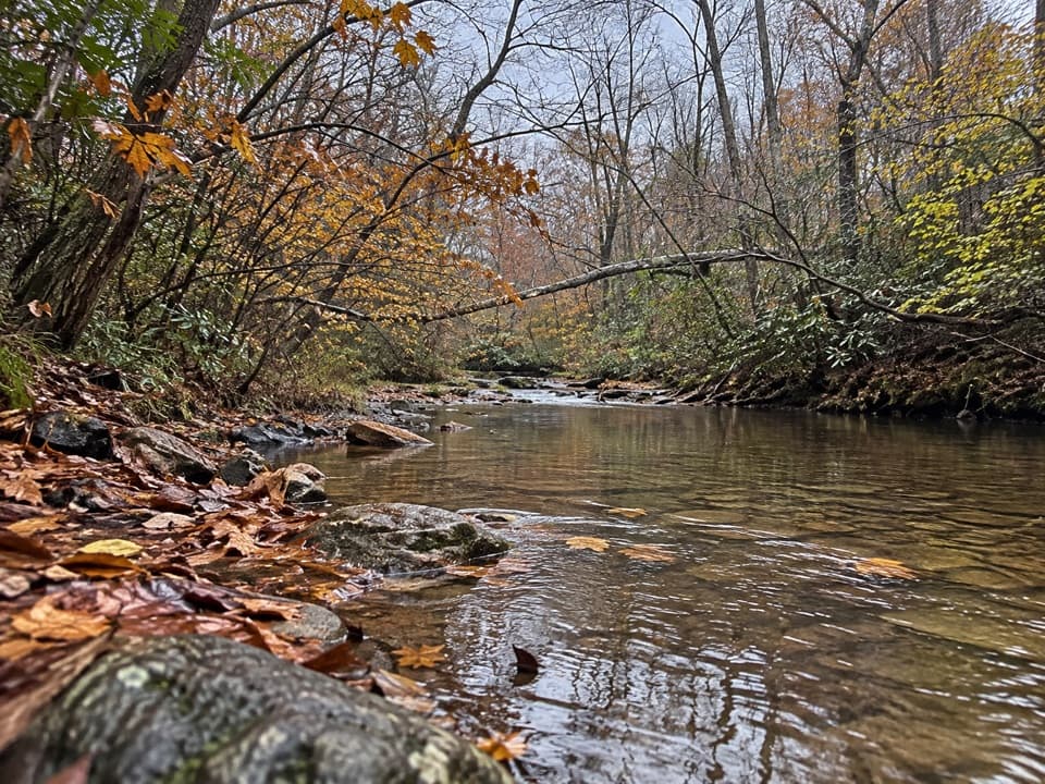 ModeratePaine Run Trail7.4 mi · 4.5 hr · At the trailheadA shaded creekside descent past an 1830s springs hotel site.EasyBlackrock Summit Loop1 mi · 1 hr · 1.4 mi awayA one-mile circuit to a boulder slope and Shenandoah views.
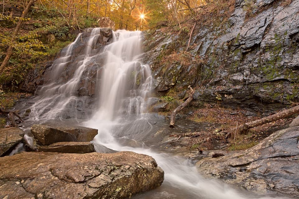 ModerateJones Run Falls Hike3.2 mi · 2.5 hr · 2.1 mi awayA wooded descent to a 42-foot cascade, then an uphill return.ModerateChimney Rock Hike3.4 mi · 2.5 hr · 2.2 mi awayTwo rocky overlooks reward a rolling climb from Riprap.
 ChallengingRiprap and Wildcat Ridge Loop9.8 mi · 8.3 hr · 2.2 mi awayA full day of rocky overlooks, stream crossings, and a steep climb.ChallengingPaine Run, Riprap, and Moormans River Loop28.9 mi · 22 hr · 2.5 mi awayA three-day loop links Paine Run, Riprap, and Moormans River.
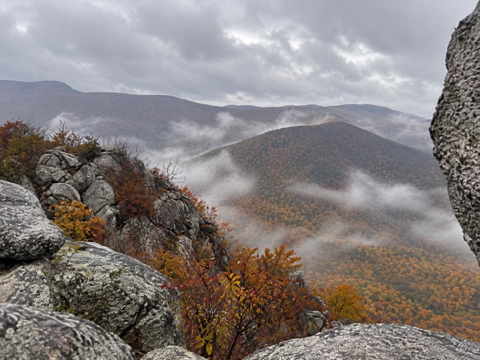 ModerateLewis Peak via Rockytop Trail9.1 mi · 5 hr · 3.1 mi awayA long, rocky ridge hike earns an open summit ledge.
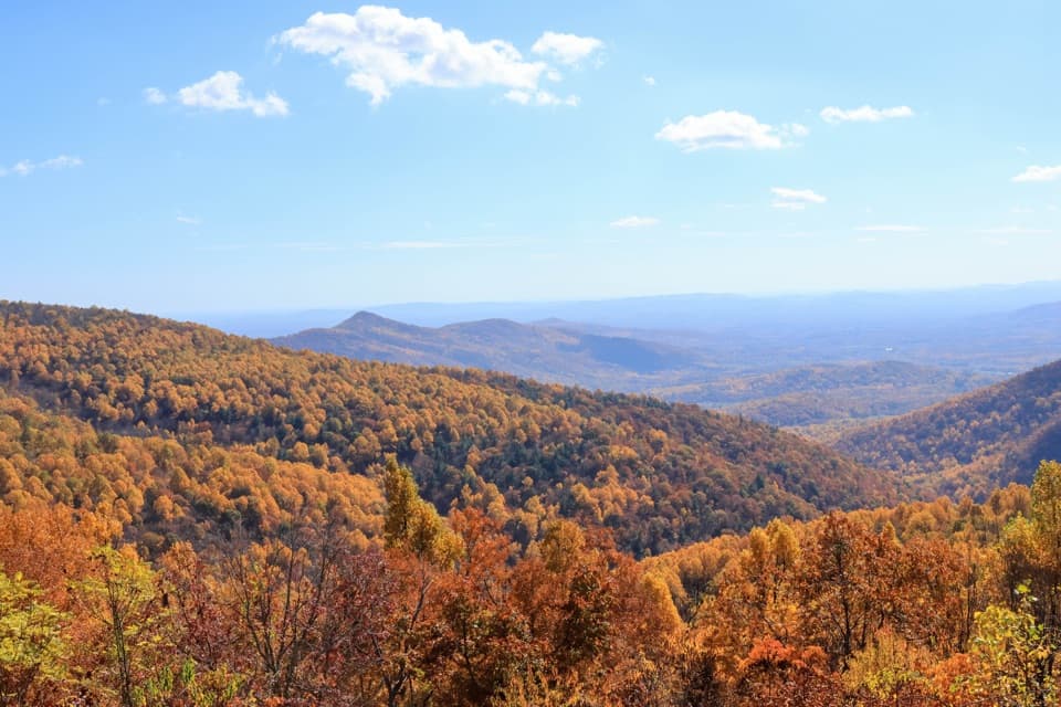 Scenic pullout · 0.3 mi awayTrayfoot Mountain OverlookA quick Skyline Drive pullout for layered mountain views.Sight · 1.1 mi awayBlackrock SummitA short loop to a boulder summit and a wide Shenandoah view.
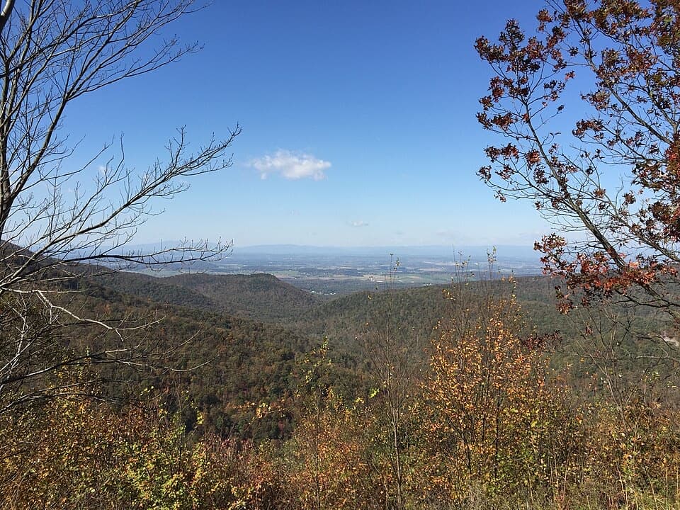 Scenic pullout · 1.1 mi awayHorsehead OverlookA quick Skyline Drive view with a story in the rocks.
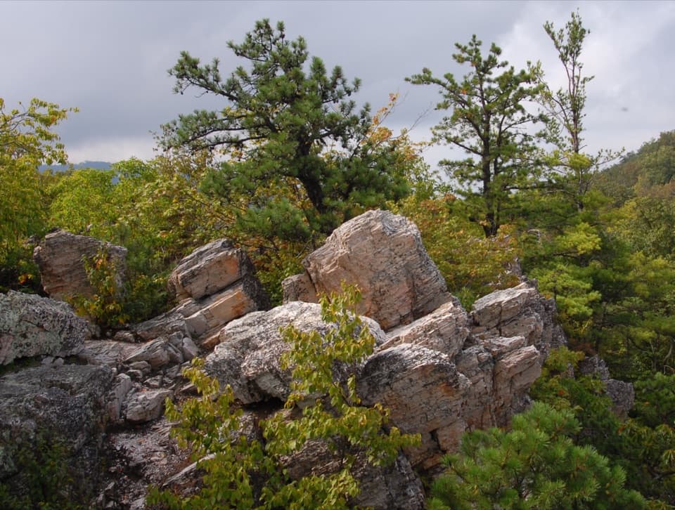 Sight · 2 mi awayCalvary RocksPale ledges and open valley views, earned on a real hike.
 Sight · 2 mi awayChimney RockA 3.4-mile hike ends at flat-topped rock with valley views.
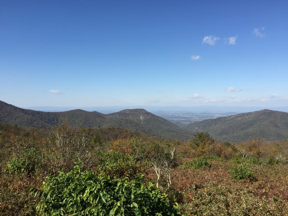 Scenic pullout · 2.5 mi awayDundo OverlookA quick pullout for Massanutten and the valley beyond.
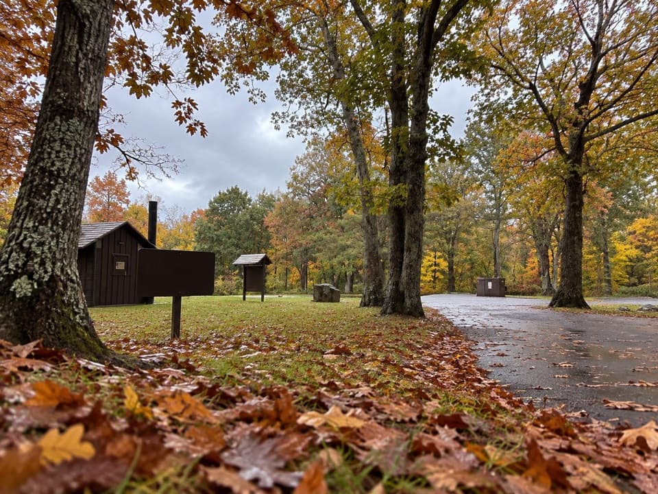 Picnic area · 2.6 mi awayDundo Picnic GroundsA shady picnic stop with a small Civilian Conservation Corps story.Sight · 2.9 mi awayJones Run FallsA 42-foot cascade; save energy for the uphill return.
Parkwolf’s Shenandoah ranking

The audio tour guide for the drive, plus offline maps, trails, and wildlife heatmaps for when the signal drops.




