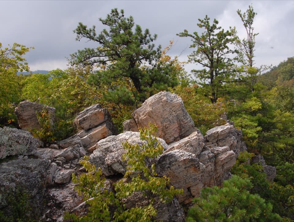
Calvary Rocks in Shenandoah National Park

Sight · Shenandoah National Park

Calvary Rocks

Pale ledges and open valley views, earned on a real hike.

Photo: Flickr
Type
Sight
Nearest trail
0.7 mi
Audio stories
4 nearby
  • Trailhead
  • Parking
  • Scenic viewpoint
  • #53 of 114 sights

Hear the audio tour

Riprap: The Shorter Walk to Chimney Rock

Overview

About Calvary Rocks

Why stop

  • Pale rock ledges above Paine Run Valley

Heads up

  • A moderate rocky hike, not a roadside pullout
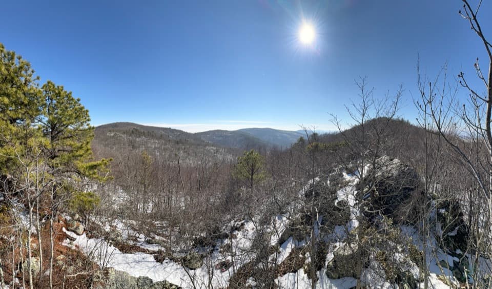
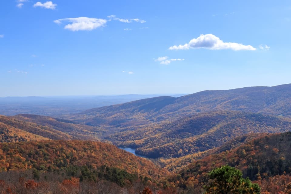
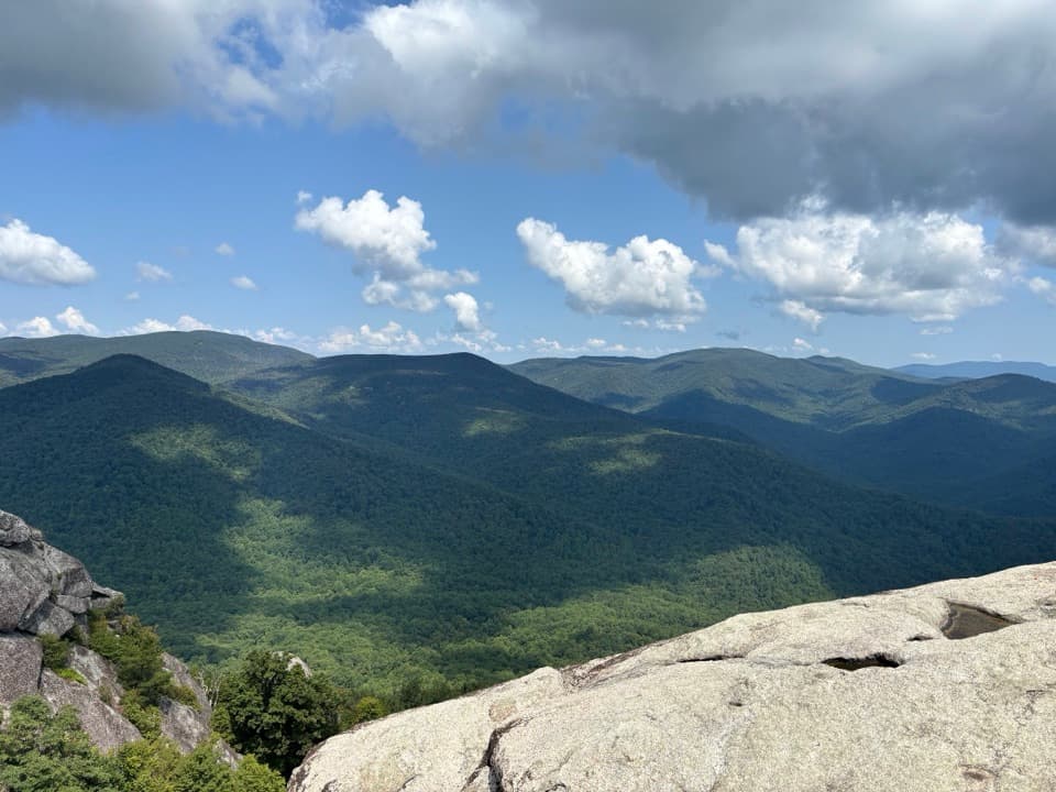
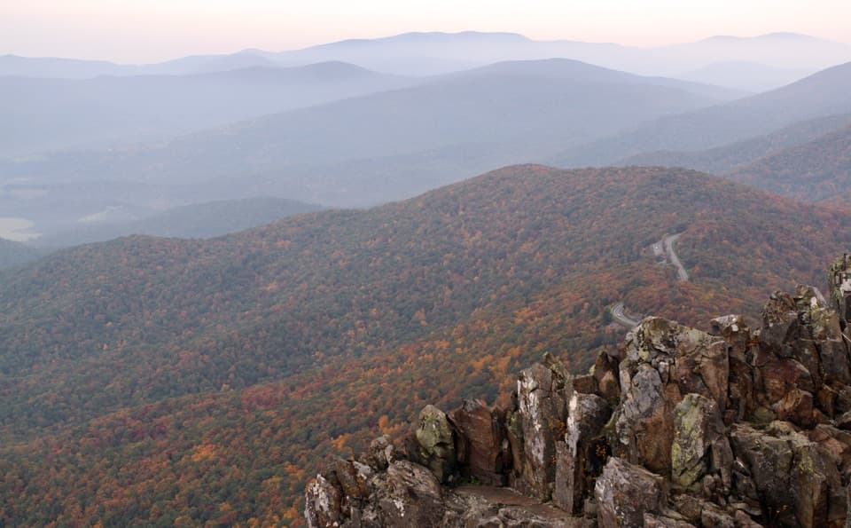
Calvary Rocks is a pale, ledged outcrop above Paine Run Valley along the Riprap Trail in Shenandoah’s South District. The open rock and valley views make it a memorable stop, but getting here takes a moderate hike; this is not a roadside overlook.
Parkwolf’s verdictA rock view worth earning

Map

Where it is

Loading the Shenandoah map
Full map
SightCalvary Rocks38.18515, -78.77416
Keep this map with you offline in the Parkwolf app

Plan your stop

Before you go

2 active Shenandoah alerts

  • ClosureOld Rag Trailhead main lot closedThe Old Rag Trailhead main parking lot is closed to vehicles and pedestrians for infrastructure improvements; use the existing overflow lots. - Work is expected to be completed by November 2026.Official details
  • ClosureBackcountry camping and zone closuresBackcountry camping is prohibited on the Appalachian Trail from Lewis Mountain to Big Meadows, and the Naked Creek backcountry zone is closed.Official details

Shenandoah alerts
A park ranger sits on a dash-mounted phone, talking, as Parkwolf’s Tour Guide plays “Army Cutworm Moths: A Grizzly Bear Buffet” on Grand Loop Road below Dunraven Pass in Yellowstone
Parkwolf Tour GuideThe highest, rockiest slopes around here are a summer buffet for grizzly bears.

Shenandoah Tour Guide

Your drive to Calvary Rocks, narrated.

Parkwolf is a GPS audio tour guide for Shenandoah National Park. As you drive, it chimes in with what’s ahead: hidden gems, upcoming stops, history, geology, and wildlife, right through your car’s speakers.

See the Shenandoah audio tour

Recorded for this area

Riprap: The Shorter Walk to Chimney Rock
0:00 / 0:27
“You're coming up on the Riprap trailhead, where I'd choose the shorter Chimney Rock hike for rocky ledges and views across the Shenandoah Valley.”

Plays on the road 0.7 mi from Calvary Rocks in the Parkwolf Shenandoah Tour Guide.

More stories near here in the app

  • A Trail for Time Away
  • Riprap Overlook: Wildcat Ridge’s Fire Tower
  • Blackrock Gap: The Long Trayfoot–Paine Run Loop
  • Trayfoot Mountain Overlook: The Southward View
  • 146 audio storiesacross Shenandoah’s roads, triggered by GPS as you drive
  • Wildlife heatmapsfor Black Bear, Bald Eagle, White-tailed Deer, and 13 more
  • Works offlinemaps, 163 trails, 142 places, and audio download before you lose signal
  • CarPlay readysimple controls built for the drive
★★★★★
“Fantastic app with many points of information… It’s great to just turn on while you’re driving and it gives you an audio tour of the national Park. We love it!!!!”
JMJamesApp Store review
Download Parkwolf on the App StoreGet Parkwolf on Google Play

4.7 from 8,600+ ratings

Guide

More about Calvary Rocks

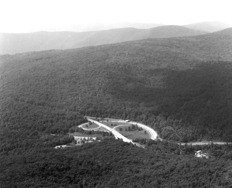
Getting to the rocksStart at Riprap Parking Area on Skyline Drive at mile 90.

Start at Riprap Parking Area on Skyline Drive at mile 90. Follow the Appalachian Trail north, then turn left onto Riprap Trail. After several switchbacks, you’ll pass a viewpoint on the right; Calvary Rocks is on the left, before Chimney Rock. The outcrop is about 1.5 miles from the lot, so turning around here makes roughly a three-mile round trip. The trail continues farther to Chimney Rock if you want to extend the walk.

Take in the ledges and valleyThe pale slabs rise above the forest and open views across Paine Run Valley toward the…

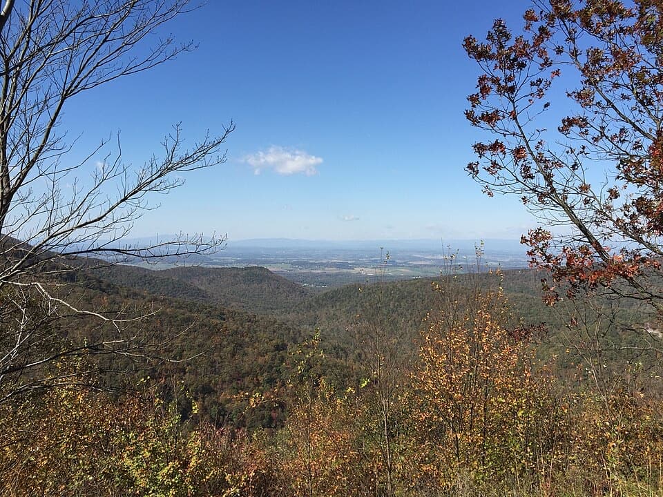
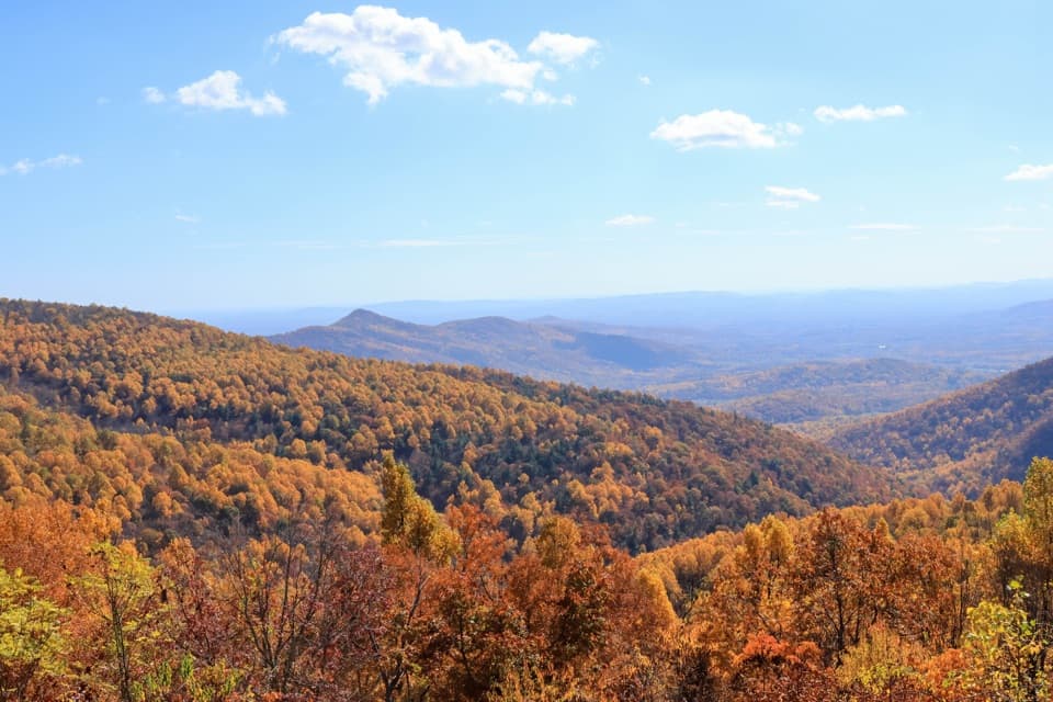
The pale slabs rise above the forest and open views across Paine Run Valley toward the Shenandoah Valley and Buzzard Rock. Trees screen parts of the horizon, but the exposed ledges give you a broad look over the surrounding ridges. For a photo, use the angled pale rocks as foreground and aim out across the valley; a clear day brings the distant ridgelines into sharper view.

An ancient shoreline in the stoneThe rocks belong to Shenandoah’s Chilhowee sequence: sediments from an ancient ocean shore that…

The rocks belong to Shenandoah’s Chilhowee sequence: sediments from an ancient ocean shore that were fused and altered by heat and pressure as the mountains formed. A local geology account identifies the prominent pale band here as Erwin Sandstone. Look for the rock’s vertical grooves; trace fossils from ancient burrowing life have also been reported, though they are not common.

Make the hike workThe small Riprap parking lot is shared with the longer Riprap Loop.

The small Riprap parking lot is shared with the longer Riprap Loop. Expect a moderate climb and uneven, rocky footing, and bring water and a snack before leaving the road. The trail is not ADA-accessible. Dogs are allowed on a leash no longer than six feet.

Wildlife

Wildlife in Shenandoah

All Shenandoah wildlife maps

Sighting maps show where each species has been reported across Shenandoah. Wildlife moves, so no sighting is guaranteed.

Keep exploring

Near Calvary Rocks

See it all on the map

Trails nearby

More stops nearby

Parkwolf’s Shenandoah ranking

Top sights in Shenandoah

All 142 places
  1. 1Old Rag MountainSight
  2. 2Big MeadowsSight
  3. 3Hawksbill SummitSight
  4. 4Stony Man SummitSight
  5. 5Dark Hollow FallsSight
  6. 6Marys RockSight

Take Parkwolf to Shenandoah.

The audio tour guide for the drive, plus offline maps, trails, and wildlife heatmaps for when the signal drops.

4.7 from 8,600+ ratings

Download Parkwolf on the App StoreGet Parkwolf on Google Play