Parking
Riprap Trail Parking off Skyline Drive at mile 90 is the primary start. The same circuit can start from Wildcat Ridge Parking at mile 92.1. Park entrance fee applies.

#11 of 163 trails in Shenandoah
Shenandoah National Park, VA
A full day of rocky overlooks, stream crossings, and a steep climb.
Overview
Map & elevation
Plan your hike

The highest, rockiest slopes around here are a summer buffet for grizzly bears.
Shenandoah Tour Guide
Parkwolf is a GPS audio tour guide for Shenandoah National Park. As you drive, it chimes in with what’s ahead: hidden gems, upcoming stops, history, geology, and wildlife, right through your car’s speakers.
See the Shenandoah audio tourRecorded for this trailhead
Riprap: The Shorter Walk to Chimney Rock“You're coming up on the Riprap trailhead, where I'd choose the shorter Chimney Rock hike for rocky ledges and views across the Shenandoah Valley.”
Plays as you drive up to this trailhead in the Parkwolf Shenandoah Tour Guide.
More stories near here in the app
“Fantastic app with many points of information… It’s great to just turn on while you’re driving and it gives you an audio tour of the national Park. We love it!!!!”


Trail guide
Riprap and Wildcat Ridge Loop is a 9.8-mile circuit from Riprap Trail Parking on Skyline Drive at mile 90, linking the Appalachian Trail with Riprap and Wildcat Ridge trails. It climbs to boulder-studded overlooks, drops into a stream hollow with a small waterfall, then makes a long climb back to the ridge. The National Park Service estimates 8 hours 15 minutes, 2,365 feet of gain, and rates it Very Strenuous. Save it for a full day and a fit, sure-footed group; this isn't a quick viewpoint walk. The same circuit can start from Wildcat Ridge Parking at mile 92.1, but the directions here follow the Riprap start.
From Riprap Parking, follow the white-blazed Appalachian Trail north, then turn onto Riprap Trail. Later, turn onto Wildcat Ridge Trail and take the Appalachian Trail north to finish. This order gets the ridge viewpoints and hollow before the long Wildcat climb. Junctions matter: the park map says to follow its directions carefully, and cell and GPS service can be unreliable.
Riprap Trail climbs through switchbacks to a viewpoint, then passes Calvary Rocks. At a sharp turn, Chimney Rock stands by itself across a gorge. The ridge openings look west and north over wooded hollows and the valley; take time to look back as the trail changes direction. These pale ledges are the signature photo stop: include some rock in the foreground so the valley view still feels connected to the trail.
Past the ridge, the route descends steeply for about a mile into Cold Spring Hollow, then follows a stream through a small canyon. The shaded water, a small waterfall and a pool are a welcome change after the open rock. You'll cross streams several times. Don't attempt a crossing in flooding or icy conditions, and treat or filter stream water before drinking it.
Around the middle of the circuit, Wildcat Ridge Trail starts near the stream. Its first half-mile stays close to water and crosses it a couple of times; then the trail climbs mostly through forest for about 2.5 miles to the Appalachian Trail. That's the long uphill on tired legs. The final Appalachian Trail stretch undulates under trees and has fewer outlooks, so the hike doesn't stay scenic at every step.
The circuit is in Shenandoah Wilderness, where the absence of mechanized equipment and development is part of the protected landscape. Spring reports mention serviceberry blooms on the ridge, blue flag iris by the stream, and mountain laurel or rhododendron flowers; bloom timing varies. Plan to carry water from the start: the park advises at least a quart per hour. Dogs are allowed on a leash no longer than six feet. A park entrance fee applies; no separate hike fee or reservation is required.
The Chimney Rock Hike from the same parking area is a 3.4-mile round trip, rated Moderate, with about 830 feet of gain and a 2.5-hour estimate. Follow the Appalachian Trail north and Riprap Trail to Chimney Rock, then retrace your steps. It reaches the rocky viewpoint without committing to the waterfall hollow and Wildcat Ridge climb.
Wildlife
 325 sightingsBlack BearMost seen around 6 AMSighting map
 21 sightingsBald EagleMost seen around 10 AMSighting map
 1,036 sightingsWhite-tailed DeerMost seen around 7 PMSighting map
 167 sightingsWild TurkeyMost seen around 7 AMSighting map
 93 sightingsTimber RattlesnakeMost seen around 6 PMSighting map
 24 sightingsCoyoteMost seen around 6 AMSighting map
Sighting maps show where each species has been reported across Shenandoah. Wildlife moves, so no sighting is guaranteed.
Keep exploring
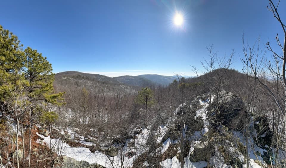 ModerateChimney Rock Hike3.4 mi · 2.5 hr · At the trailheadTwo rocky overlooks reward a rolling climb from Riprap.
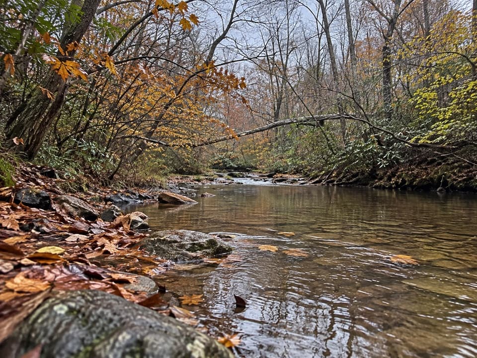 ModeratePaine Run Trail7.4 mi · 4.5 hr · 2.2 mi awayA shaded creekside descent past an 1830s springs hotel site.
 ChallengingTrayfoot Mountain–Paine Run Loop9.4 mi · 5.5 hr · 2.2 mi awayBlackrock’s boulder summit is the payoff on a long wooded loop.ChallengingWildcat Hollow and North Fork Moormans River Loop21.5 mi · 18 hr · 2.2 mi awayA three-day backcountry loop with river crossings and rocky overlooks.ChallengingPaine Run, Riprap, and Moormans River Loop28.9 mi · 22 hr · 2.2 mi awayA three-day loop links Paine Run, Riprap, and Moormans River.
 ModerateMoormans River and Big Branch Falls4.5 mi · 2.5 hr · 2.8 mi awayA greenstone waterfall at the end of a river-crossing hike
 EasySouth Fork Moormans River to Blue Hole3 mi · 2 hr · 2.8 mi awayA gentle river walk to a waterfall hidden below the trail.
 ModerateTurk Mountain Hike2.2 mi · 2.3 hr · 3.5 mi awayA rocky summit and a wide valley view reward this short hike.
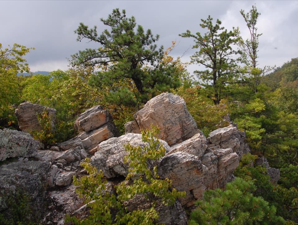 Sight · 0.7 mi awayCalvary RocksPale ledges and open valley views, earned on a real hike.
 Sight · 0.9 mi awayChimney RockA 3.4-mile hike ends at flat-topped rock with valley views.
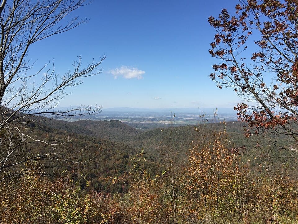 Scenic pullout · 1.1 mi awayHorsehead OverlookA quick Skyline Drive view with a story in the rocks.
 Scenic pullout · 1.2 mi awayRiprap OverlookA west-facing overlook with a 1930s fire-tower story behind it.
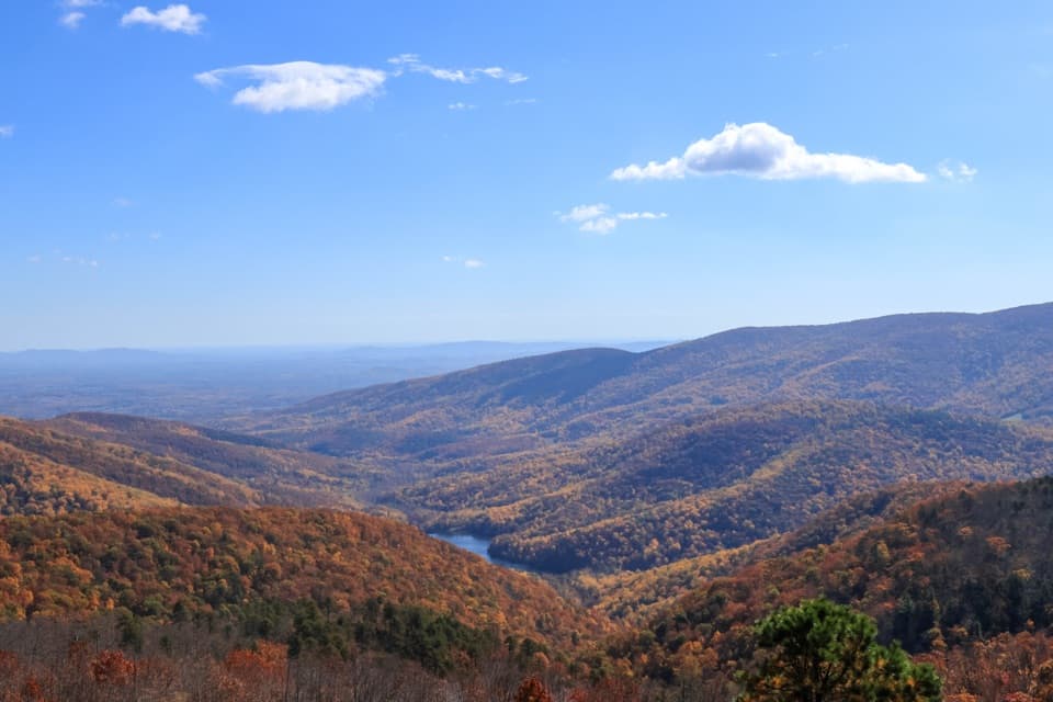 Scenic pullout · 1.7 mi awayMoormans River OverlookA quick Skyline Drive stop above Sugar Hollow Reservoir.
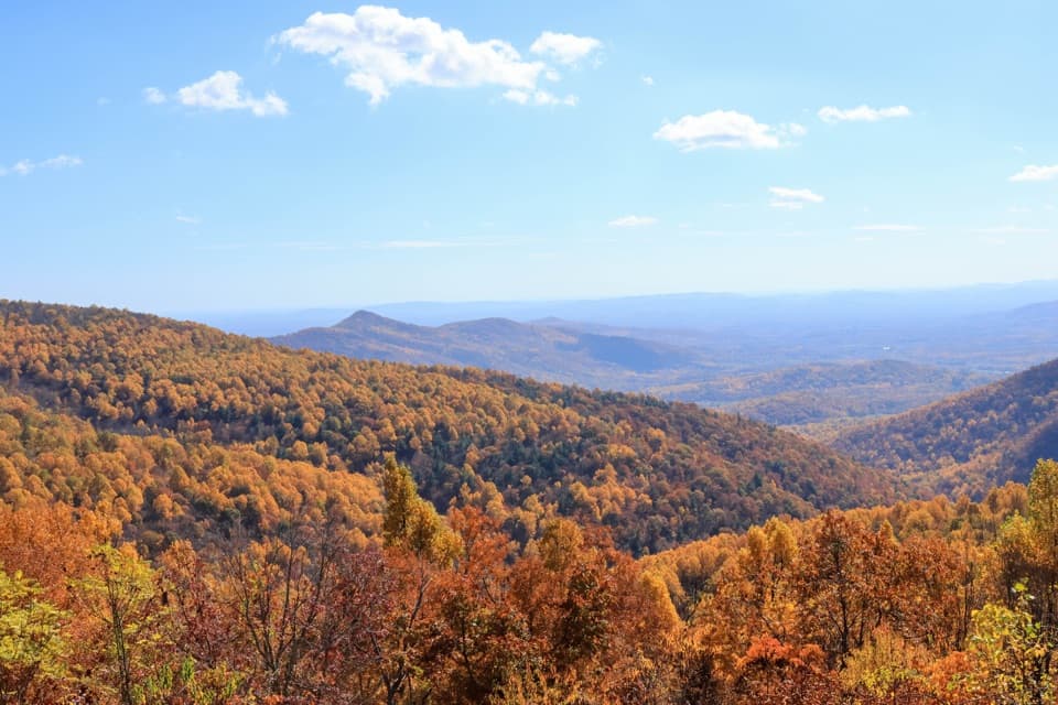 Scenic pullout · 2.2 mi awayTrayfoot Mountain OverlookA quick Skyline Drive pullout for layered mountain views.
 Scenic pullout · 2.2 mi awayCrimora Lake OverlookA valley view with a manganese mine hiding in plain sight.
 Scenic pullout · 3.2 mi awayTurk Mountain OverlookA quick roadside view of Turk Mountain and Shenandoah Valley.
Parkwolf’s Shenandoah ranking

The audio tour guide for the drive, plus offline maps, trails, and wildlife heatmaps for when the signal drops.




