Paine Run, Riprap, and Moormans River Loop in Shenandoah National Park

Shenandoah National Park, VA

Paine Run, Riprap, and Moormans River Loop

A three-day loop links Paine Run, Riprap, and Moormans River.

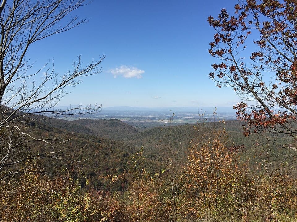
Photo: Wikimedia Commons
Length
28.9mi
Time
22hr
Elev. change
2,057ft
Difficulty
Challenging
  • Loop
  • Dogs allowed
  • High point 3,156 ft
Parkwolf audio tour146 stories across Shenandoah’s roads

Overview

About Paine Run, Riprap, and Moormans River Loop

Why go

  • A rare three-day circuit linking ridge views with two river valleys
  • Distinctive Calvary Rocks and Chimney Rock formations along Riprap

Heads up

  • A long 11.6–13.6-mile second day and two remote river crossings
  • Very limited boundary parking with a school-day restriction

Map & elevation

The route

Loading the Shenandoah map
Full map
Elevation1,099–3,156 ft
TrailheadPaine Run boundary access, end of Route 66138.19968, -78.79447
Keep this map with you offline in the Parkwolf app

Plan your hike

Before you go

Parking

Start and finish at Paine Run boundary access at the end of Route 661. The private turnaround has room for about three cars; do not park there weekdays from 7 a.m. to 4 p.m. during the school year because of school buses. There is no public access from Route 614. A park entrance fee applies even when entering on foot; stay on the marked trail across private land.

Safety

The South and North Fork Moormans crossings may reach knee to waist depth in spring or after heavy rain. Check current water levels and do not attempt an unsafe crossing. Overnight use requires a paid backcountry permit. The marked Paine Run access crosses private land; remain on the trail and use the Route 661 access.

2 active Shenandoah alerts

  • ClosureOld Rag Trailhead main lot closedThe Old Rag Trailhead main parking lot is closed to vehicles and pedestrians for infrastructure improvements; use the existing overflow lots. - Work is expected to be completed by November 2026.Official details
  • ClosureBackcountry camping and zone closuresBackcountry camping is prohibited on the Appalachian Trail from Lewis Mountain to Big Meadows, and the Naked Creek backcountry zone is closed.Official details
Shenandoah alerts
A park ranger sits on a dash-mounted phone, talking, as Parkwolf’s Tour Guide plays “Army Cutworm Moths: A Grizzly Bear Buffet” on Grand Loop Road below Dunraven Pass in Yellowstone
Parkwolf Tour GuideThe highest, rockiest slopes around here are a summer buffet for grizzly bears.

Shenandoah Tour Guide

Your drive to Paine Run, Riprap, and Moormans River Loop, narrated.

Parkwolf is a GPS audio tour guide for Shenandoah National Park. As you drive, it chimes in with what’s ahead: hidden gems, upcoming stops, history, geology, and wildlife, right through your car’s speakers.

See the Shenandoah audio tour

More stories near here in the app

  • A Trail for Time Away
  • Riprap: The Shorter Walk to Chimney Rock
  • Blackrock Gap: The Long Trayfoot–Paine Run Loop
  • Trayfoot Mountain Overlook: The Southward View
  • 146 audio storiesacross Shenandoah’s roads, triggered by GPS as you drive
  • Wildlife heatmapsfor Black Bear, Bald Eagle, White-tailed Deer, and 13 more
  • Works offlinemaps, 163 trails, 142 places, and audio download before you lose signal
  • CarPlay readysimple controls built for the drive
★★★★★
“Fantastic app with many points of information… It’s great to just turn on while you’re driving and it gives you an audio tour of the national Park. We love it!!!!”
JMJamesApp Store review
Download Parkwolf on the App StoreGet Parkwolf on Google Play

4.7 from 8,600+ ratings

Trail guide

Hiking Paine Run, Riprap, and Moormans River Loop

The full loopThis 28.

This 28.9-mile loop follows a three-day, two-night backcountry itinerary from the Paine Run boundary access on Route 661. It climbs Paine Run to the Appalachian Trail, crosses the Riprap ridge, descends into the Moormans river valleys, and returns by Blackrock Spur, Trayfoot Mountain, and Paine Run. The itinerary’s published total ranges from 27.2 to 29.2 miles because campsite locations vary. The mapped line represents a half-mile campsite spur on Riprap and its retrace. About 22 hours of moving time is a planning estimate across the three days; camping and rest time are extra.

Day one: Paine Run to RiprapFollow Paine Run Trail uphill to the Appalachian Trail, then head south to Riprap Trail.

Follow Paine Run Trail uphill to the Appalachian Trail, then head south to Riprap Trail. The itinerary places the first camp somewhere within the next mile, so this day is roughly 6.2 to 7.2 miles depending on the site. It recommends collecting water from Paine Run before leaving the stream. The distance to camp is flexible, and the mapped half-mile spur is only a representative choice.

Day two: ridge to river valleysRetrace the Riprap spur, continue south on the Appalachian Trail, and descend Turk Branch to…

Retrace the Riprap spur, continue south on the Appalachian Trail, and descend Turk Branch to the South Fork Moormans route. The trail then leaves the park and follows roads toward the crossing near Charlottesville Reservoir. After crossing, climb upstream along the North Fork Moormans route and look for a second camp beyond Big Branch. This is the longest day, about 11.6 to 13.6 miles, with repeated changes between trail and road.

Day three: Blackrock and TrayfootContinue north along the North Fork Moormans route until it climbs back to the Appalachian…

Continue north along the North Fork Moormans route until it climbs back to the Appalachian Trail. Follow the trail north to Blackrock Spur, then take Trayfoot Mountain Trail and Paine Run Trail back to the starting boundary access. Expect about 8.4 to 9.4 miles. The written directions include gravel-road and stream-crossing transitions; follow the marked route rather than trying to shortcut between valleys.

Rocks and waterThe Riprap section passes the distinctive Calvary Rocks and Chimney Rock formations, with views…

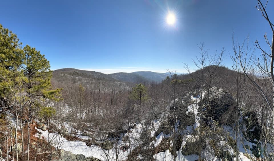
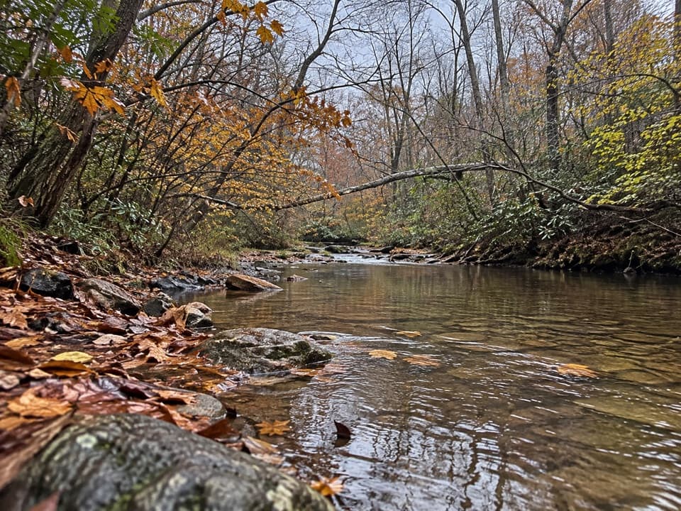
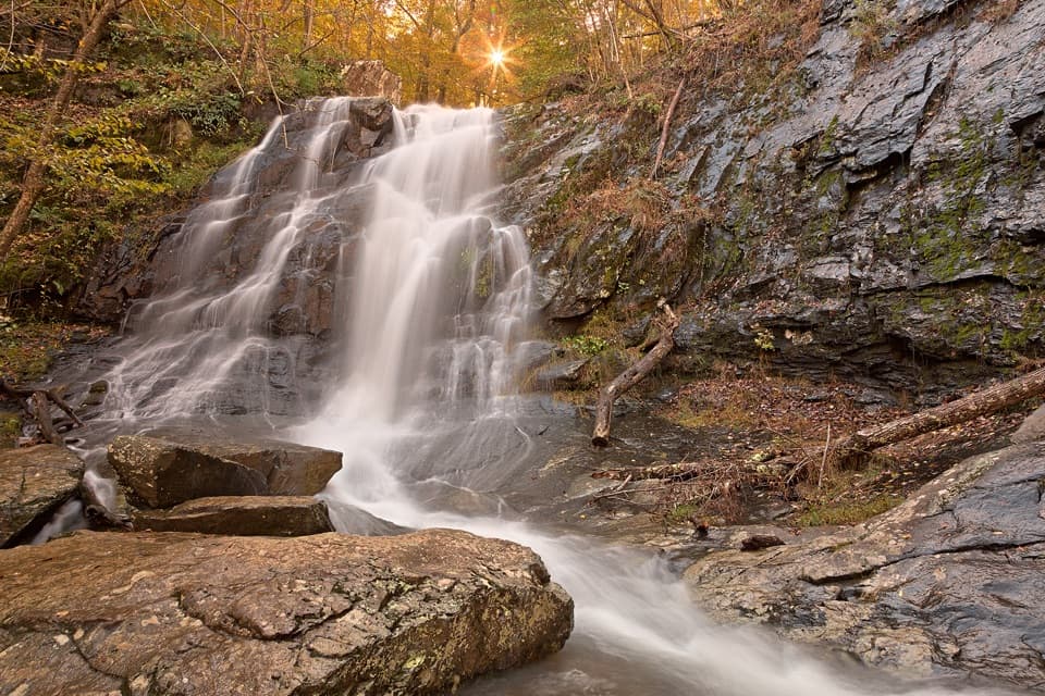
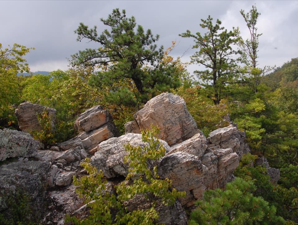
The Riprap section passes the distinctive Calvary Rocks and Chimney Rock formations, with views across the gorge and a rocky ridgeline. The backcountry itinerary also mentions swimming holes and an optional waterfall side trip; water levels vary, and the waterfall detour is not part of the mapped line. Expect a strenuous mountain route with long climbs and descents. Its directions describe the South and North Fork Moormans crossings as potentially knee- to waist-deep in spring or after heavy rain. All available water is from streams; carry a treatment method and do not assume year-round flow.

Access and overnight planningStart and finish at the Paine Run boundary access at the end of Route 661.

Start and finish at the Paine Run boundary access at the end of Route 661. The marked access crosses private land; stay on the trail, and do not approach from Route 614, where there is no public access. The boundary turnaround holds only about three cars and is unavailable to park on weekdays from 7 a.m. to 4 p.m. during the school year for school buses. A park entrance fee applies even when hiking in from the boundary, and both nights require a paid backcountry permit. Dogs are allowed on this route on a physical leash no longer than six feet. The current trip listing still includes this itinerary, but its detailed turn-by-turn sheet dates to 2006; check current route signs, closures, and river conditions before setting out.

Wildlife

Wildlife in Shenandoah

All Shenandoah wildlife maps

Sighting maps show where each species has been reported across Shenandoah. Wildlife moves, so no sighting is guaranteed.

Keep exploring

Near Paine Run, Riprap, and Moormans River Loop

See it all on the map

Trails that start nearby

Places near the trailhead

Parkwolf’s Shenandoah ranking

Top-rated trails in Shenandoah

All 163 trails
  1. 1Old Rag Summit via Berry HollowChallenging · 5.4 mi
  2. 2Hawksbill LoopModerate · 2.9 mi
  3. 3Marys Rock Summit TrailModerate · 3.7 mi
  4. 4Stony Man HikeEasy · 1.6 mi
  5. 5Cedar Run - Whiteoak CircuitChallenging · 8.1 mi
  6. 6Blackrock Summit LoopEasy · 1 mi

Take Parkwolf to Shenandoah.

The audio tour guide for the drive, plus offline maps, trails, and wildlife heatmaps for when the signal drops.

4.7 from 8,600+ ratings

Download Parkwolf on the App StoreGet Parkwolf on Google Play