Parking
Start at the TF-21 km 43.3 access. Parking is available at two nearby viewpoints; there is no road access at the PNT 04 finish.
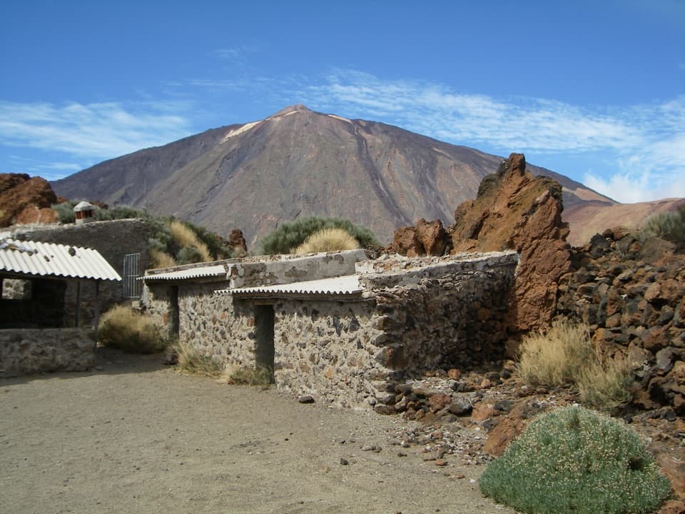
Teide National Park, TF
Teide views, curious lava and Sanatorio ruins on a short traverse.
Overview
Map & elevation
Plan your hike

The highest, rockiest slopes around here are a summer buffet for grizzly bears.
Teide Tour Guide
Parkwolf is a GPS audio tour guide for Teide National Park. As you drive, it chimes in with what’s ahead: hidden gems, upcoming stops, history, geology, and wildlife, right through your car’s speakers.
Recorded for this trailhead
Majúa and the Sanatorio Trail“You're approaching the Sanatorio trail access at Majúa, near the lower cable-car station. Take this walk for unusual lava shapes and the Sanatorio's low stone ruins, with Teide rising behind them.”
Plays as you drive up to this trailhead in the Parkwolf Teide Tour Guide.
More stories near here in the app
“Fantastic app with many points of information… It’s great to just turn on while you’re driving and it gives you an audio tour of the national Park. We love it!!!!”


Trail guide
PNT 16 Sanatorio is a 2.85-mile point-to-point walk from TF-21 km 43.3 to the PNT 04 Siete Cañadas junction below Guajara. Allow about 1 hour 45 minutes one way. The finish has no road access, so plan an onward trail connection or leave time to walk back; retracing the route makes a 5.7-mile outing. The trail is not accessible for visitors with reduced mobility.
The route follows an old track away from Teide, and the peak looks more dramatic as it recedes behind you. It climbs about 64 m and descends about 155 m, but stays above 2,190 m throughout. The distance is short; the high setting and point-to-point finish are the things to plan around.
Look for the unusual lava forms of the Majúa dome and El Depósito volcano. Spring and summer bring blooms of retama, codeso, rosalillo de cumbre, magarza and hierba pajonera. Local beekeepers set hives here in spring to collect retama honey, so keep your distance from them. The old Sanatorio remains are the route’s distinctive stop; the low stone buildings make a good foreground with Teide behind.
Start at TF-21 km 43.3. Parking is available at two nearby viewpoints. The cable-car base has a cafeteria, buffet restaurant, shop and public toilets as a separate stop; no services are listed along the trail. You do not normally need a reservation. At the far end, continue via PNT 04 or another connected trail, or turn around while you still have time to walk back.
Wildlife
 15 sightingsShort-finned Pilot WhaleMost seen around 9 AMSighting map
 829 sightingsTenerife LizardMost seen around 11 AMSighting map
 11 sightingsWest Canary SkinkMost seen around 11 AMSighting map
 98 sightingsTenerife Blue ChaffinchMost seen around 8 AMSighting map
 45 sightingsKestrelMost seen around 10 AMSighting map
 10 sightingsBarbary PartridgeMost seen around 7 AMSighting map
Sighting maps show where each species has been reported across Teide. Wildlife moves, so no sighting is guaranteed.
Keep exploring
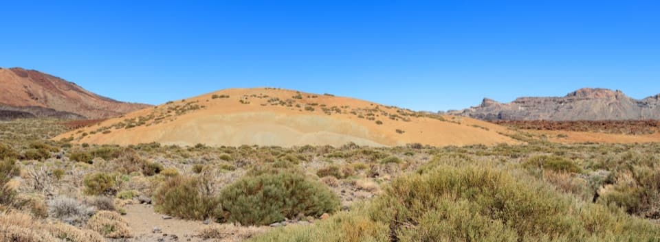 EasyPNT 19 Majúa Trail4.2 km · 1.5 hr · At the trailheadA low-effort descent past Majúa’s pale pumice cone
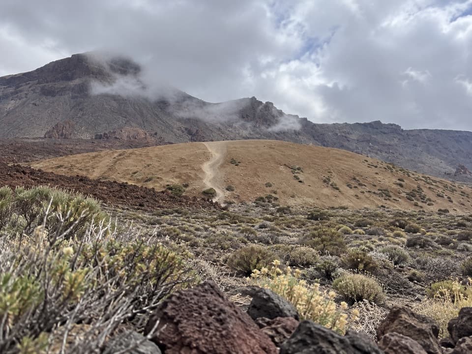 EasyPNT 39 A Teleférico–Montaña Blanca Trail3.9 km · 1 hr · At the trailheadA short lava traverse links the cable car to Montaña Blanca.
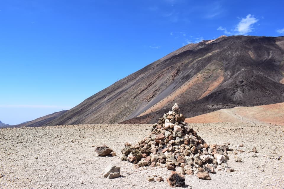 ModerateAlto de Montaña Blanca10.5 km · 4.5 hr · 2.2 km awayA long volcanic walk for a broad view across Las Cañadas.
 ChallengingPNT 07 Montaña Blanca–La Rambleta Trail8.3 km · 5.9 hr · 2.2 km awayPumice and black lava mark a steep climb to La Rambleta.
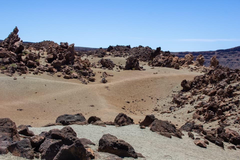 EasyPNT 39 B: Montaña Blanca to Minas de San José3.1 km · 1 hr · 2.2 km awayA short volcanic traverse from Montaña Blanca to Minas de San José.
 ModerateMirador de Pico Viejo Trail (PNT 12)1.5 km · 54 min · 2.3 km awayA short high-altitude walk to a close view of Pico Viejo’s crater.
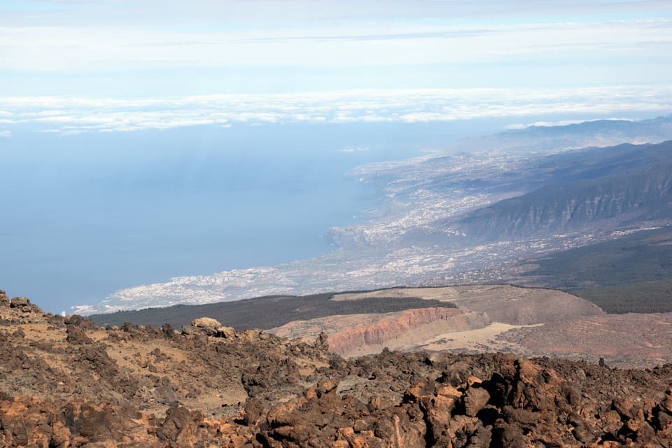 ModeratePNT 11 Mirador de la Fortaleza1.2 km · 45 min · 2.3 km awayA short, high-altitude walk to Teide’s red northern rim.
 ChallengingTelesforo Bravo Trail (PNT 10)1.4 km · 1.8 hr · 2.3 km awayA steep, high-altitude path to Teide’s summit crater rim.
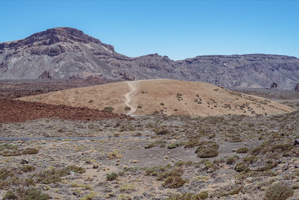 Scenic pullout · 0.1 km awayMajúa 3 ViewpointA pale volcanic dome beneath the Cañadas caldera peaks.
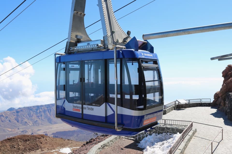 Sight · 0.1 km awayTeide Cable CarA swift lift to high volcanic trails and Pico Viejo’s crater.
 Visitor center · 0.1 km awayTeide Legend Visitors’ CentreA quick indoor primer on Teide’s Guanche story and volcanic peak.
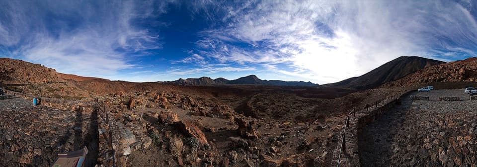 Sight · 1.5 km awayTabonal Negro ViewpointA short stop for a lava flow that cuts across the valley.Sight · 2 km awayMontaña Blanca ViewpointA wide caldera panorama, earned on a proper high-altitude hike.
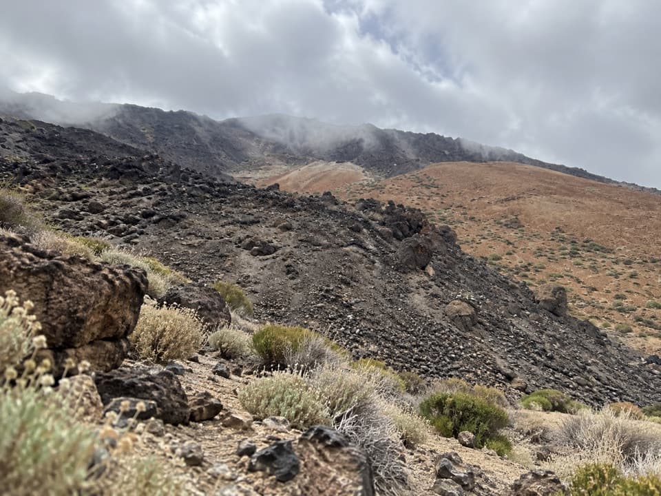 Campground · 2 km awayMontaña Blanca Bivouac AreaA reserved, open-air bivouac high on Teide’s summit route.
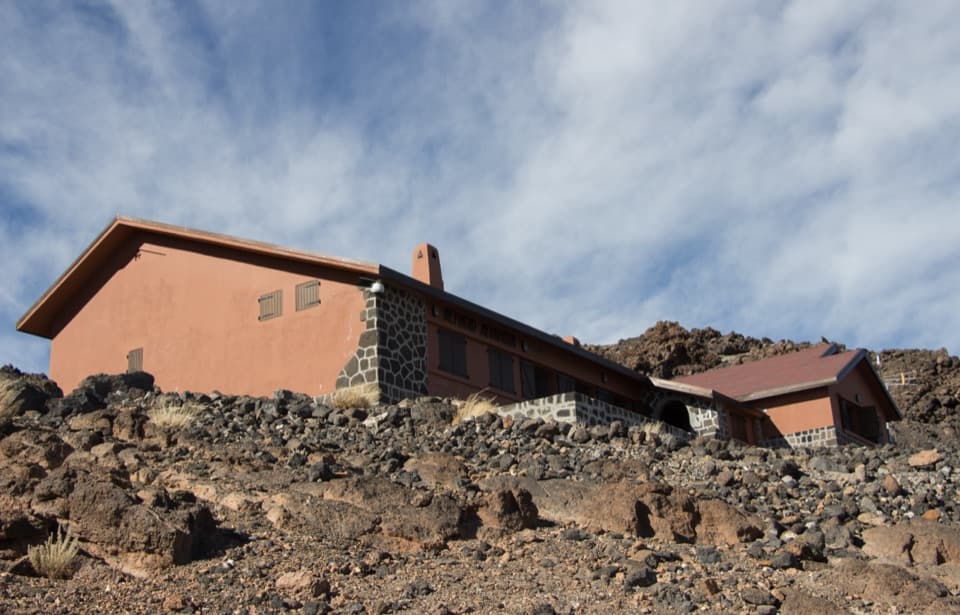 Lodging · 2.3 km awayAltavista RefugeA high-altitude overnight stop for Teide’s dawn summit climb.
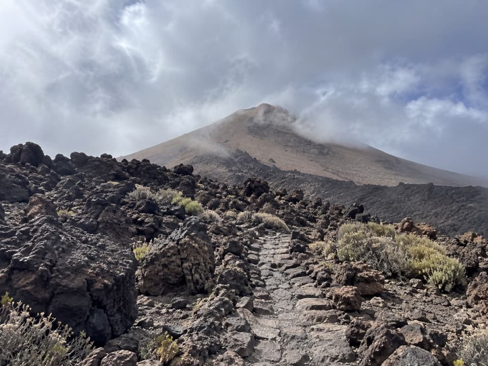 Campground · 2.6 km awayTeide Bivouac AreaAn open-air night above 3,500 metres takes a serious climb.
Parkwolf’s Teide ranking

The audio tour guide for the drive, plus offline maps, trails, and wildlife heatmaps for when the signal drops.


