Parking
Start at Cañada Blanca Visitor Centre in the Parador de Las Cañadas del Teide. Parking and public toilets are listed at the centre; parking can be busy later in the morning, so an early start helps.

#3 of 62 trails in Teide
Teide National Park, TF
A high ridge loop to comet history and sweeping views across Teide.
Overview
Map & elevation
Plan your hike

The highest, rockiest slopes around here are a summer buffet for grizzly bears.
Teide Tour Guide
Parkwolf is a GPS audio tour guide for Teide National Park. As you drive, it chimes in with what’s ahead: hidden gems, upcoming stops, history, geology, and wildlife, right through your car’s speakers.
Recorded for this trailhead
Cañada Blanca and the Parador“Up ahead is Cañada Blanca Visitor Centre, beside the Parador hotel.”
Plays as you drive up to this trailhead in the Parkwolf Teide Tour Guide.
More stories near here in the app
“Fantastic app with many points of information… It’s great to just turn on while you’re driving and it gives you an audio tour of the national Park. We love it!!!!”


Trail guide
Start at Cañada Blanca Visitor Centre by the Parador and follow PNT 31 to Degollada de Ucanca. Cross the summit ridge on PNT 15, then descend PNT 05 and return on PNT 04. This full circuit is about 11.2 km (6.9 mi), with roughly 660–690 m of climbing; allow about 4.5–5.5 hours. Other published loop options use different connectors; this mapped itinerary climbs on PNT 31 and returns by PNT 05/PNT 04.
From the Parador, use the path by El Capricho to join PNT 31. The trail climbs in steady turns toward the pass, with broad views back across the caldera and toward Teide’s southern slopes. Expect a sustained uphill effort before reaching the high ridge.
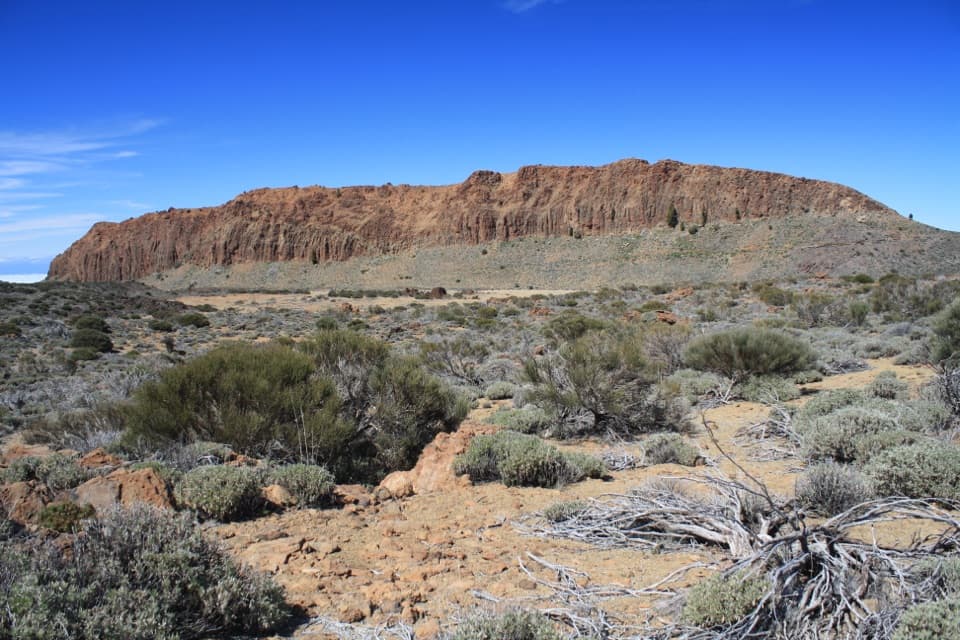
At Degollada de Ucanca, join PNT 15 and follow the rocky ridge to the short summit spur. Alto de Guajara rises to about 2,715 m, with wide views over Las Cañadas, Teide, Pico Viejo and Montaña Blanca. The summit also holds remains of the cabin used by astronomer Jean Mascart while observing Halley’s Comet in 1910. Continue east on PNT 15 to Degollada de Guajara.
PNT 05 drops from Degollada de Guajara toward Siete Cañadas along the historic Camino de Chasna. Red and orange volcanic formations mark the descent. Join PNT 04 for the open return across the caldera floor to the Parador; this avoids retracing the climb but adds a long, exposed walk.
This is a strenuous, high-altitude hike with little shade and rocky, sometimes loose footing on the descent. Carry water for the full route, food, sun protection and a warm layer. The PNT 15 segment is free and does not require a reservation; check current park alerts for access to the full loop. The official PNT 15 route is not classified as accessible for visitors with reduced mobility.
Wildlife
 15 sightingsShort-finned Pilot WhaleMost seen around 9 AMSighting map
 829 sightingsTenerife LizardMost seen around 11 AMSighting map
 11 sightingsWest Canary SkinkMost seen around 11 AMSighting map
 98 sightingsTenerife Blue ChaffinchMost seen around 8 AMSighting map
 45 sightingsKestrelMost seen around 10 AMSighting map
 10 sightingsBarbary PartridgeMost seen around 7 AMSighting map
Sighting maps show where each species has been reported across Teide. Wildlife moves, so no sighting is guaranteed.
Keep exploring
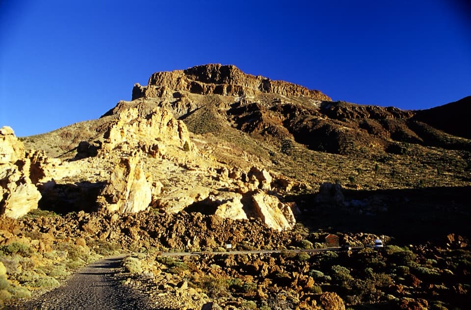 ChallengingPNT 05 Degollada de Guajara Trail9.6 km · 4 hr · At the trailheadA historic pass walk with wide views toward southern Tenerife.
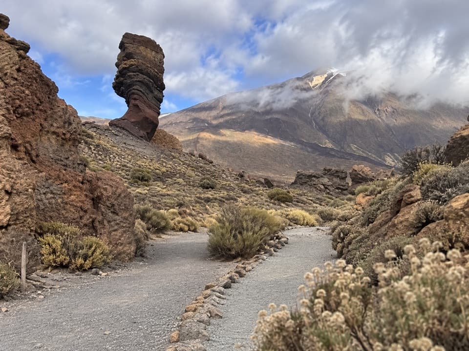 EasyLos Tagorores to Colada de Pahoehoe Accessible Trail0.8 km · 25 min · 0.3 km awayA short accessible path beside the Roques, with Teide in view.
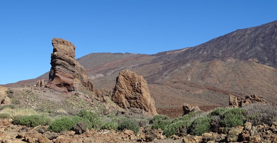 EasyLa Ruleta to Los Tagorores Accessible Trail0.4 km · 12 min · 0.4 km awayA short accessible path to the Tagorores and Roque Cinchado view
 ModeratePNT 03 Roques de García Loop3.5 km · 2 hr · 0.5 km awayLava plains, rock towers, and a steep climb back.
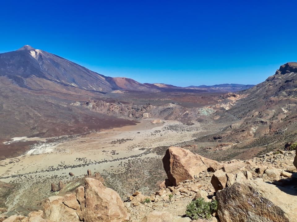 ChallengingPNT 31 Cumbres de Ucanca Trail7.8 km · 3.9 hr · 0.6 km awayWalk the ridge from caldera views to twisted Canary pines.
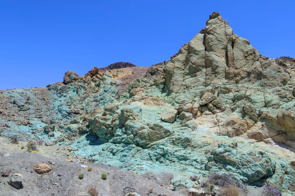 EasyLos Azulejos Accessible Trail0.2 km · 12 min · 0.6 km awayA short accessible path to blue-green hydrothermal cliffs.
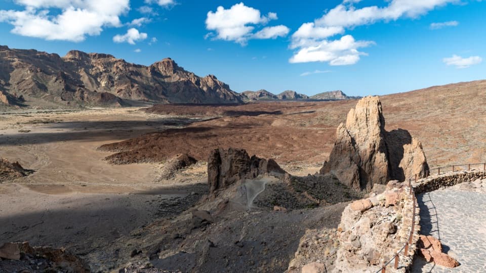 EasyPNT 26 Ucanca Trail1.8 km · 54 min · 0.9 km awayA low-effort crossing of Teide’s broad caldera floor
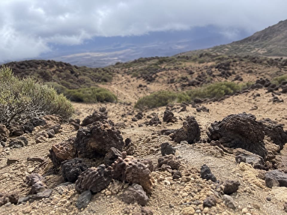 ChallengingPNT 23 Los Regatones Negros5.4 km · 4 hr · 1.4 km awayA steep volcanic climb to Pico Viejo's high saddle.
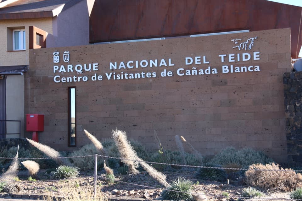 Visitor center · At the trailheadCañada Blanca Visitor CenterA smart indoor stop for the people and science behind Teide.
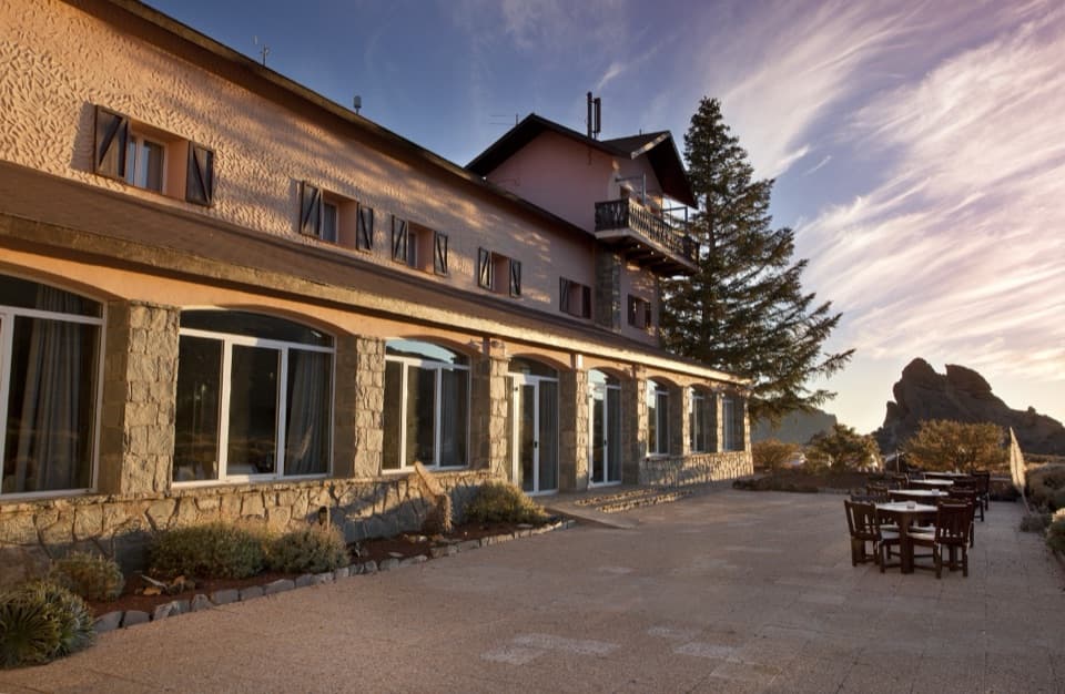 Lodging · At the trailheadParador de Las Cañadas del TeideSleep above 2,000 m with Canarian cooking and Teide views.
 Sight · 0.1 km awayErmita de Nuestra Señora de las NievesSpain’s highest-altitude Catholic church sits above 2,000 m on Teide.
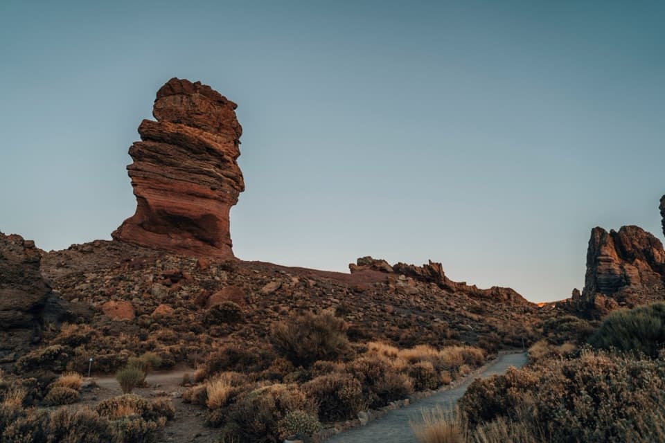 Sight · 0.4 km awayRoques de GarcíaA stone sentinel with Teide rising behind a whole volcanic caldera.
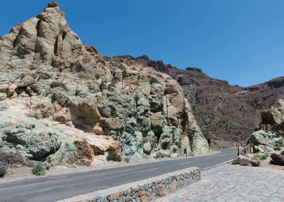 Sight · 0.7 km awayLos Azulejos ViewpointA quick stop for vivid rocks and a view over Ucanca.
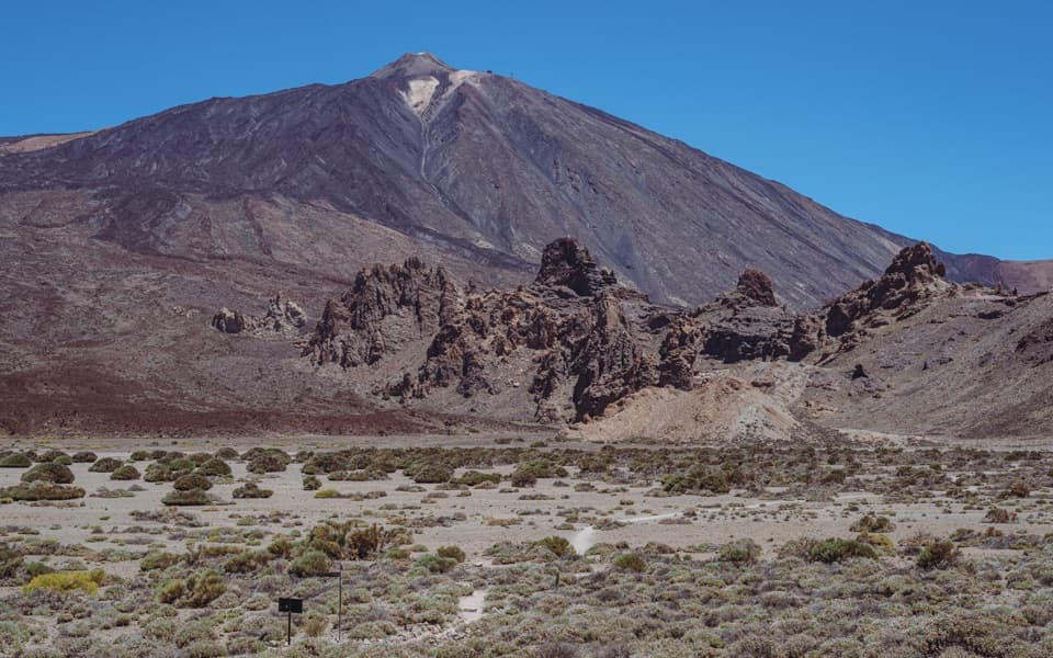 Sight · 1.6 km awayLlano de Ucanca 1 ViewpointA broad volcanic plain sets up Teide, Pico Viejo and La Catedral.
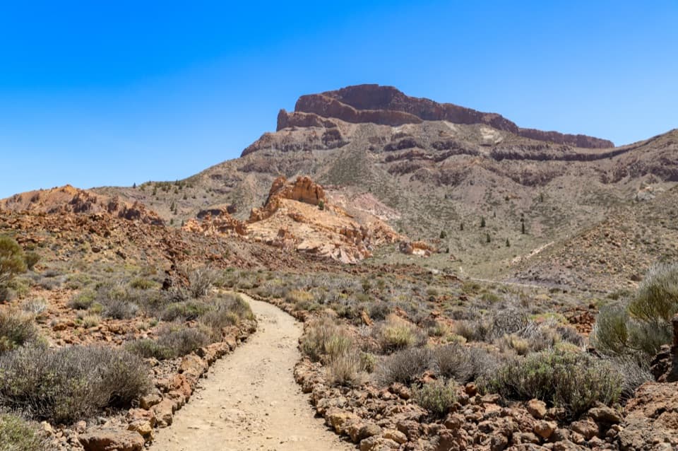 Sight · 1.7 km awayAlto de GuajaraClimb the caldera wall for a close view of Teide.
 Campground · 1.7 km awayMontaña Guajara Bivouac AreaA permitted night beside Guajara’s historic observatory ruins.
Parkwolf’s Teide ranking

The audio tour guide for the drive, plus offline maps, trails, and wildlife heatmaps for when the signal drops.