Parking
La Rambleta has no direct road access. Reach the upper station by cable car from the TF-21 base or hike up on a separately authorized route; the PNT 10 reservation and cable-car ticket are separate.

#1 of 62 trails in Teide
Teide National Park, TF
A steep, high-altitude path to Teide’s summit crater rim.
Overview
PNT 10 Telesforo Bravo is a short, steep out-and-back from La Rambleta, the upper cable-car station, to the edge of Teide’s summit crater. The national park lists a 0.69 km linear route, about 0.86 miles round trip, and roughly 45 minutes for the ascent. Allow about 1½ to 2 hours for the descent as well and a little time at the top. The short distance hides a serious effort: you start above 3,500 metres, on rough volcanic rock, and the park says slopes reach 60 percent. If the altitude is already affecting you, this is an easy one to leave for another visit.
 Parkwolf’s verdictIs this the climb for you?
Map & elevation
Plan your hike

The highest, rockiest slopes around here are a summer buffet for grizzly bears.
Teide Tour Guide
Parkwolf is a GPS audio tour guide for Teide National Park. As you drive, it chimes in with what’s ahead: hidden gems, upcoming stops, history, geology, and wildlife, right through your car’s speakers.
Recorded for this trailhead
Teide Cable Car and La Rambleta“You're approaching Teide Cable Car, which climbs nearly twelve hundred metres to La Rambleta in under eight minutes. Take it if you want the high volcanic views without the long climb from below.”
Plays as you drive up to this trailhead in the Parkwolf Teide Tour Guide.
More stories near here in the app
“Fantastic app with many points of information… It’s great to just turn on while you’re driving and it gives you an audio tour of the national Park. We love it!!!!”


Trail guide
The path leaves La Rambleta and follows a natural lava channel, with smooth walls and layers exposed along its sides. Near a small landing, it crosses to the other side; from here the climb gets steeper. The channel’s open-tunnel shape and exposed lava layers make the geology easy to see as you climb. An older crater sits beside La Rambleta, separate from the summit crater you’re heading toward.
Higher up, the route winds along the channel slope toward the crater rim. The ground gets looser and more uneven, so take your time on the steep sections. Near the top, fumaroles vent steam and leave pale mineral crusts and yellow sulphur deposits among the rocks. The path ends at the crater edge; it is not a circuit around the rim. Stay on the marked route and do not enter or walk around the crater.
On a clear day, the summit opens onto Tenerife and the other Canary Islands. Clouds can cover the view, and the mountain’s high-altitude weather can change the experience quickly. Turn around at the rim for a look back down the lava channel; it gives the steep approach a stronger sense of scale than a straight-on summit photo. Stay within the permitted path for any photo.
The fumaroles are a visible reminder that Teide is still active. The park identifies the rare endemic Teide edelweiss, Laphangium teydeum, in the warm, damp ground around fumaroles. It also notes that animals at the summit feed on small invertebrates blown up by the wind, though it does not name particular species. There is more life here than the bare rock suggests, but it is small and easy to miss.
The park names this route for Telesforo Bravo, an eminent Canarian geologist. It is a fitting name for a walk that brings geology close: layered lava in the channel, an old crater beside the upper station, the summit crater, and sulphur-stained ground and fumaroles near the path. You pass a lot in a short climb here.
A date- and time-specific reservation is required for PNT 10. It covers only the route from La Rambleta to the crater; a hike up from below on PNT 07, PNT 09, or PR-TF 41 needs its own authorization. The cable-car ticket is separate. Required equipment in dry conditions includes mountain footwear, long trousers, and a warm layer. Snow or ice requires crampons, an ice axe, and the applicable experience declaration. Children under three are not admitted, and anyone under 16 must be with an adult. Pets are not allowed, except guide dogs.
Wildlife
 15 sightingsShort-finned Pilot WhaleMost seen around 9 AMSighting map
 829 sightingsTenerife LizardMost seen around 11 AMSighting map
 11 sightingsWest Canary SkinkMost seen around 11 AMSighting map
 98 sightingsTenerife Blue ChaffinchMost seen around 8 AMSighting map
 45 sightingsKestrelMost seen around 10 AMSighting map
 10 sightingsBarbary PartridgeMost seen around 7 AMSighting map
Sighting maps show where each species has been reported across Teide. Wildlife moves, so no sighting is guaranteed.
Keep exploring
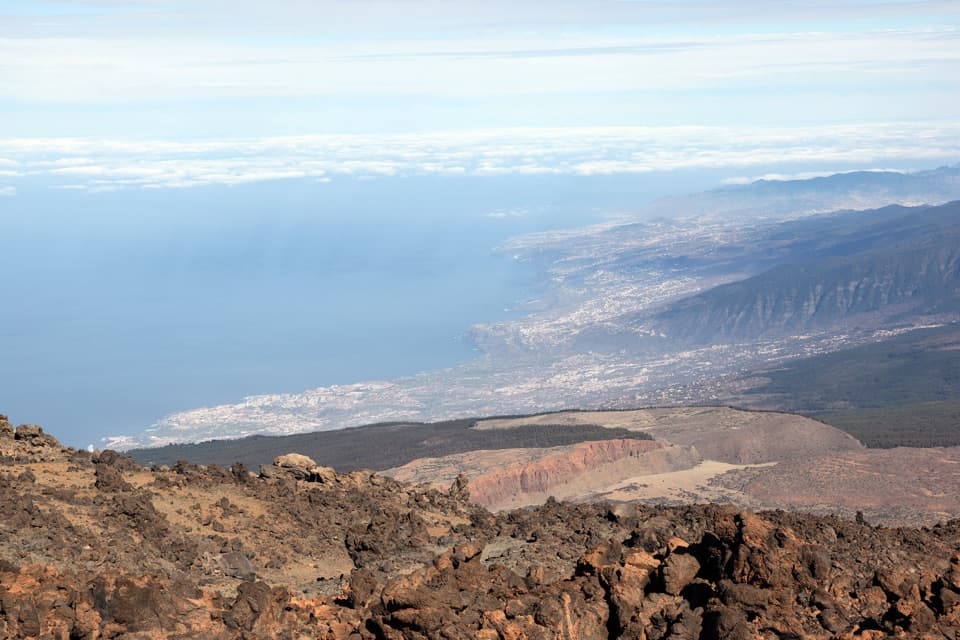 ModeratePNT 11 Mirador de la Fortaleza1.2 km · 45 min · At the trailheadA short, high-altitude walk to Teide’s red northern rim.
 ModerateMirador de Pico Viejo Trail (PNT 12)1.5 km · 54 min · At the trailheadA short high-altitude walk to a close view of Pico Viejo’s crater.
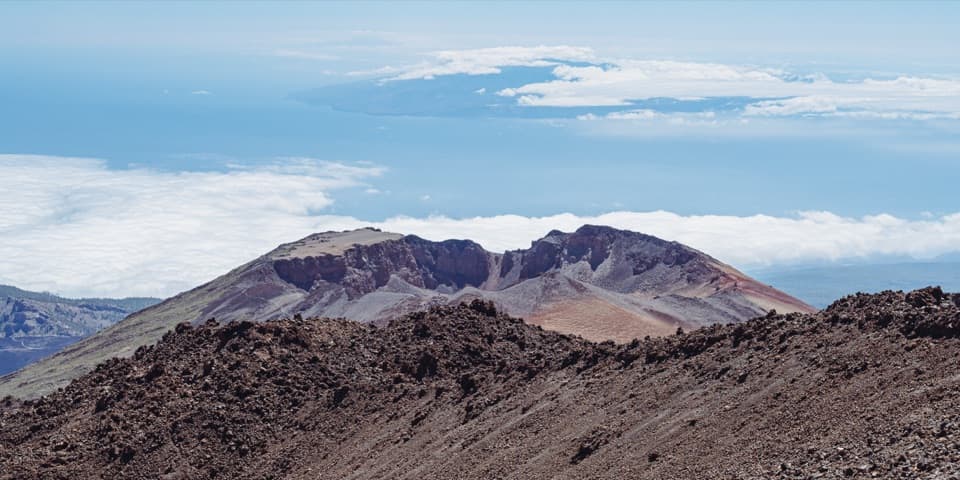 ChallengingPNT 09: Teide - Pico Viejo - Las Narices del Teide9.6 km · 8 hr · 0.6 km awayA crater-side traverse on lava, with a 1,600 m descent.
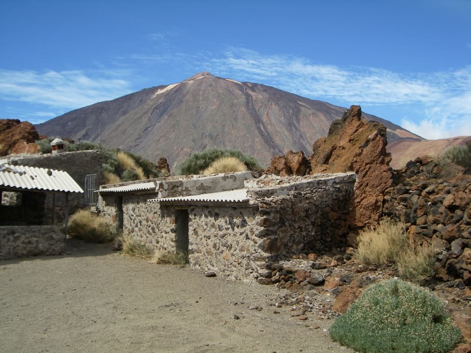 EasyPNT 16 Sanatorio4.6 km · 1.8 hr · 2.3 km awayTeide views, curious lava and Sanatorio ruins on a short traverse.
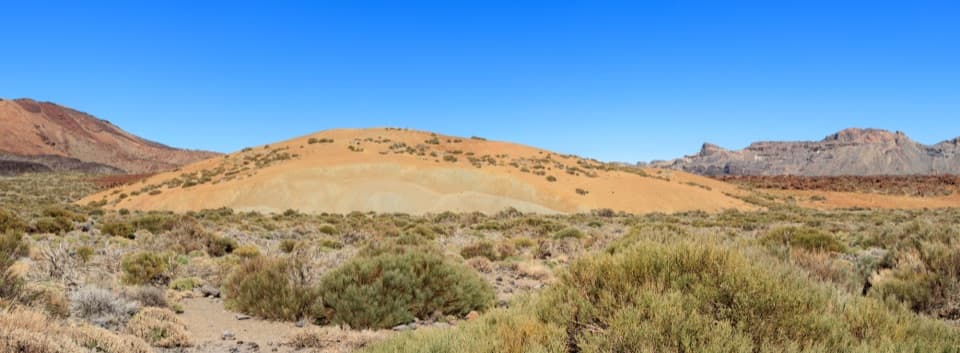 EasyPNT 19 Majúa Trail4.2 km · 1.5 hr · 2.3 km awayA low-effort descent past Majúa’s pale pumice cone
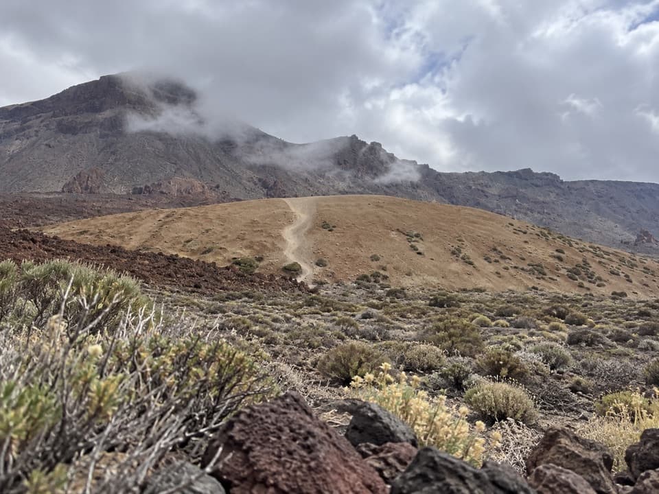 EasyPNT 39 A Teleférico–Montaña Blanca Trail3.9 km · 1 hr · 2.3 km awayA short lava traverse links the cable car to Montaña Blanca.
 ChallengingPNT 07 Montaña Blanca–La Rambleta Trail8.3 km · 5.9 hr · 3.7 km awayPumice and black lava mark a steep climb to La Rambleta.
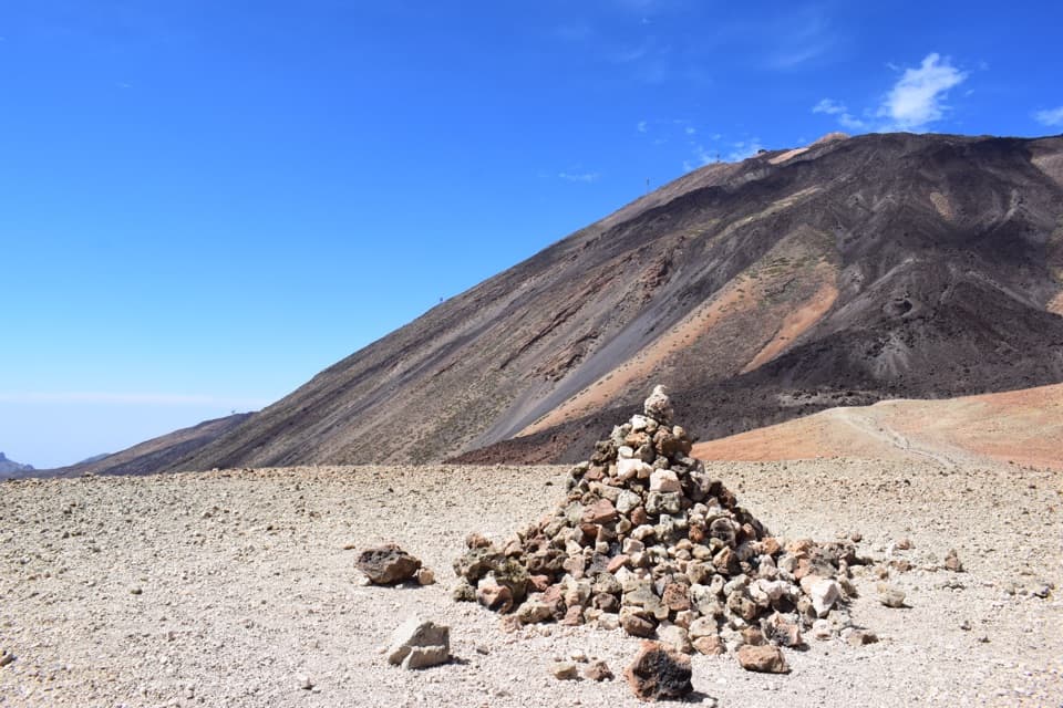 ModerateAlto de Montaña Blanca10.5 km · 4.5 hr · 3.7 km awayA long volcanic walk for a broad view across Las Cañadas.
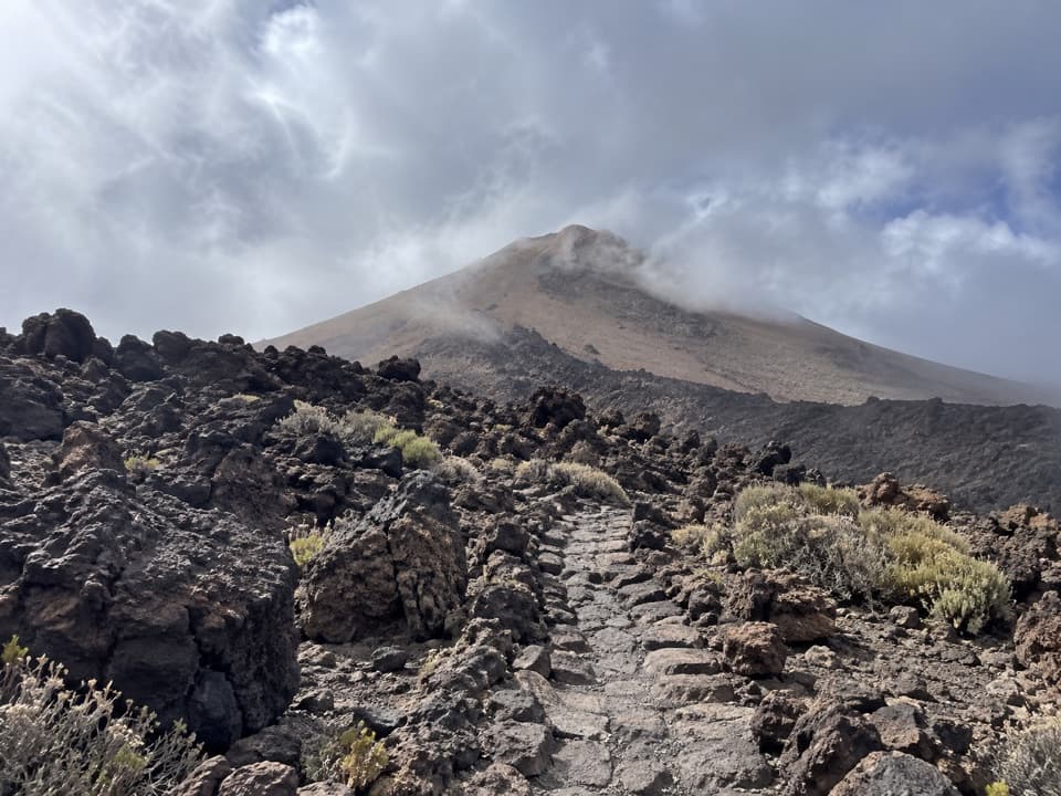 Campground · 0.4 km awayTeide Bivouac AreaAn open-air night above 3,500 metres takes a serious climb.Sight · 0.4 km awayLa Fortaleza ViewpointA rocky perch above Tenerife’s north coast and its cloud sea.
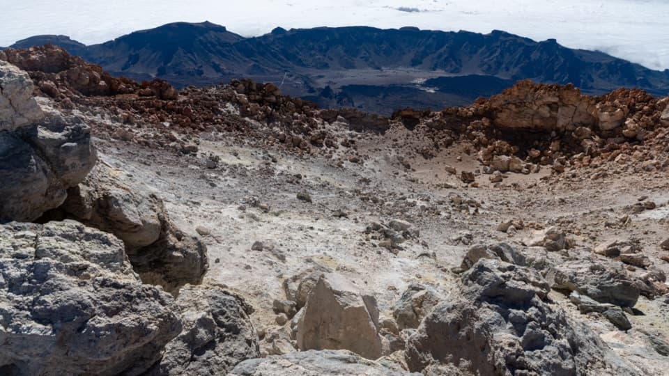 Sight · 0.4 km awayTeide Summit and CraterA steep climb to Teide's crater rim, with islands on the horizon.
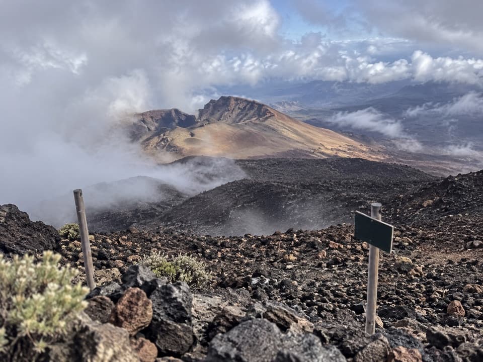 Sight · 0.6 km awayPico Viejo ViewpointA huge crater, with three islands on a clear day.
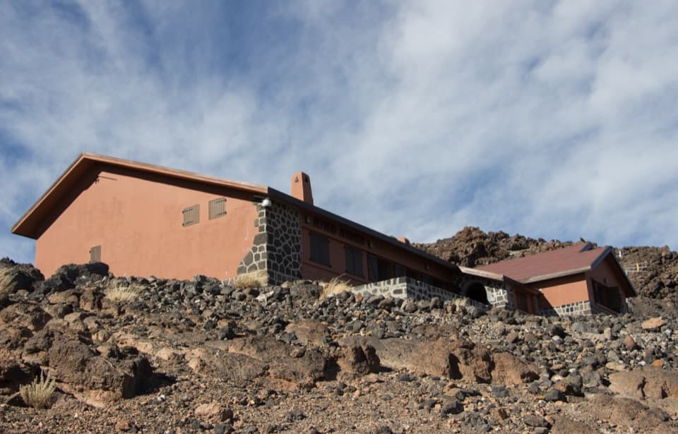 Lodging · 1 km awayAltavista RefugeA high-altitude overnight stop for Teide’s dawn summit climb.
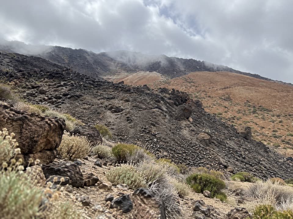 Campground · 2.1 km awayMontaña Blanca Bivouac AreaA reserved, open-air bivouac high on Teide’s summit route.
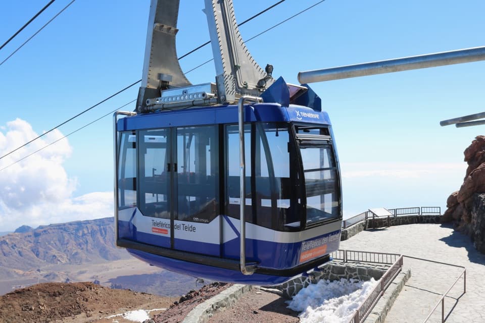 Sight · 2.2 km awayTeide Cable CarA swift lift to high volcanic trails and Pico Viejo’s crater.
 Visitor center · 2.2 km awayTeide Legend Visitors’ CentreA quick indoor primer on Teide’s Guanche story and volcanic peak.
Parkwolf’s Teide ranking
The audio tour guide for the drive, plus offline maps, trails, and wildlife heatmaps for when the signal drops.