Parking
Start at the Montaña Blanca viewpoint on TF-21, km 40.2. Parking is limited. The control point at km 40.7 is 4.6 km uphill, not the trailhead; don’t confuse it with the start.

#5 of 62 trails in Teide
Teide National Park, TF
Pumice and black lava mark a steep climb to La Rambleta.
Overview
PNT 07 Montaña Blanca–La Rambleta is an 8.29 km (5.15 mi) one-way climb from the Montaña Blanca viewpoint on TF-21 to Mirador de La Fortaleza beside the upper cable-car station. It gains about 1,309 m and the listed hike takes 5 hours 55 minutes. You finish at 3,536 m, not at Teide’s summit; the summit trail, PNT 10, needs a separate authorization. This is a serious high-altitude day out for experienced hikers, not a casual extension to a cable-car visit.
 Parkwolf’s verdictIs this the climb for you?
Map & elevation
Plan your hike

The highest, rockiest slopes around here are a summer buffet for grizzly bears.
Teide Tour Guide
Parkwolf is a GPS audio tour guide for Teide National Park. As you drive, it chimes in with what’s ahead: hidden gems, upcoming stops, history, geology, and wildlife, right through your car’s speakers.
Recorded for this trailhead
Montaña Blanca and the Climb to La Rambleta“You're approaching the Montaña Blanca trailhead, the start of a demanding climb to La Rambleta. The full ascent takes about six hours one way and gains thirteen hundred metres, finishing below Teide's summit.”
Plays as you drive up to this trailhead in the Parkwolf Teide Tour Guide.
More stories near here in the app
“Fantastic app with many points of information… It’s great to just turn on while you’re driving and it gives you an audio tour of the national Park. We love it!!!!”


Trail guide
The trail begins at the Montaña Blanca viewpoint, TF-21 km 40.2. The start and the control point are easy to confuse: your reserved time is for passing the check 4.6 km uphill, near TF-21 km 40.7, not for leaving the car park. The booking is valid in either direction on its authorized day. Parking at the viewpoint is limited, so arrive with a plan and don’t count on the cable-car lot as a simple substitute. A return on foot repeats the route; sort out your way back before you start. La Rambleta is beside the cable-car station, but the hike doesn’t include transport, and you need the required kit in case you must descend on foot.
The opening track crosses the light-colored pumice deposit of Montaña Blanca. Look for the dark, rounded Huevos del Teide—accretion balls of volcanic material that rolled down the mountain and settled among the pumice. Teide white broom grows along part of this lower climb. The route then leaves the broad approach for the old footpath up Teide’s flank.
The hardest stretch climbs Lomo Tieso to Altavista Refuge. It’s steep enough to exceed a 60% grade in places, and the loose, uneven volcanic surface makes the effort feel bigger than the mileage suggests. You’re also climbing above 3,000 m, where thinner air can bring breathlessness, headache, dizziness or nausea. The refuge sits at about 3,260 m; its first stone shelter dates to 1892 and served researchers studying the atmosphere and volcanic environment. Don’t count on food, water or other day-hiker services there; current public amenities aren’t confirmed.
Above Altavista the grade eases, but the path keeps climbing across young black lava. Near 3,400 m, plants almost disappear; the Teide violet and a few other small flowers are among the exceptions. The route ends at Mirador de La Fortaleza at La Rambleta. The broad view is the payoff, but it is not the crater or Teide’s summit. For a photo lower down, frame the dark Huevos against the pale pumice so the contrast explains the landscape.
Reserve PNT 07 in advance. The selected time is tied to the checkpoint; check current booking terms for any fee and check closure notices before you travel. Staff can deny access if you lack the required equipment: closed mountain footwear with good grip, long trousers, a warm layer, thermal blanket, hat and gloves, water, a charged phone and a charged headlamp. Ice or snow can bring tighter access limits and require crampons, sometimes an ice axe and other authorization. Sudden cold, low oxygen, steep slopes, unstable footing and fall risk are real parts of this route. It isn’t suitable for people with heart, respiratory or mobility problems or without high-mountain experience. Pets are prohibited except guide dogs; children under 3 can’t enter, and those under 16 need an adult.
Wildlife
 15 sightingsShort-finned Pilot WhaleMost seen around 9 AMSighting map
 829 sightingsTenerife LizardMost seen around 11 AMSighting map
 11 sightingsWest Canary SkinkMost seen around 11 AMSighting map
 98 sightingsTenerife Blue ChaffinchMost seen around 8 AMSighting map
 45 sightingsKestrelMost seen around 10 AMSighting map
 10 sightingsBarbary PartridgeMost seen around 7 AMSighting map
Sighting maps show where each species has been reported across Teide. Wildlife moves, so no sighting is guaranteed.
Keep exploring
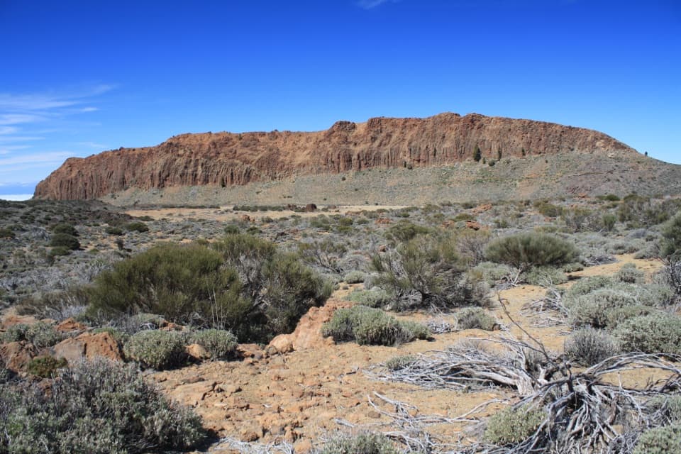
 ModerateAlto de Montaña Blanca10.5 km · 4.5 hr · At the trailheadA long volcanic walk for a broad view across Las Cañadas.
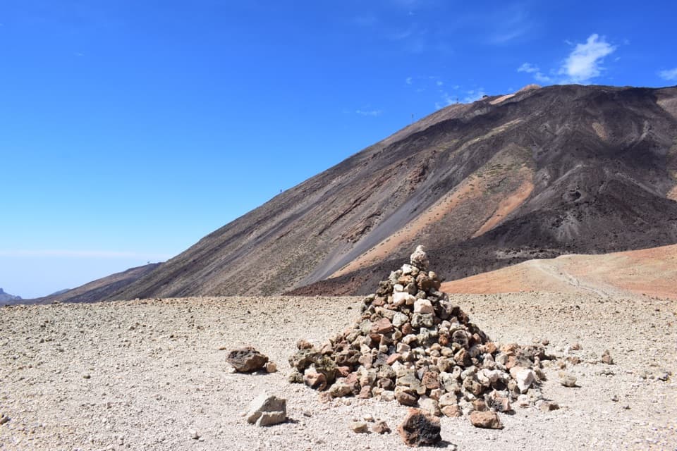
 EasyPNT 39 B: Montaña Blanca to Minas de San José3.1 km · 1 hr · At the trailheadA short volcanic traverse from Montaña Blanca to Minas de San José.
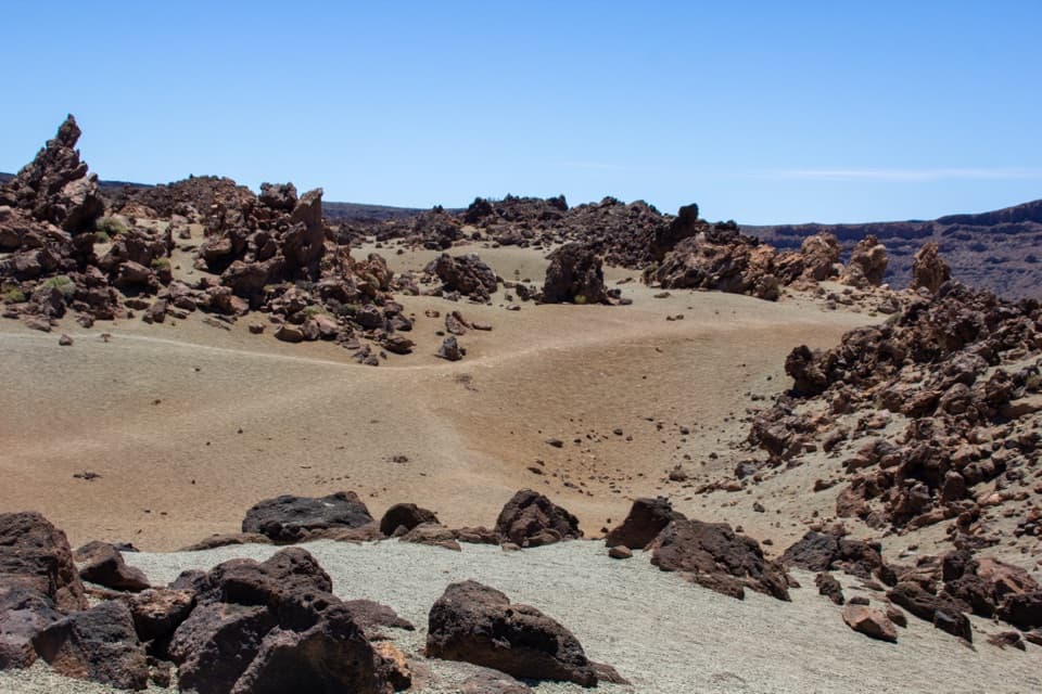
 EasyPNT 27 Montaña Rajada2.1 km · 1.3 hr · 0.6 km awayA short pumice traverse between two volcanic domes
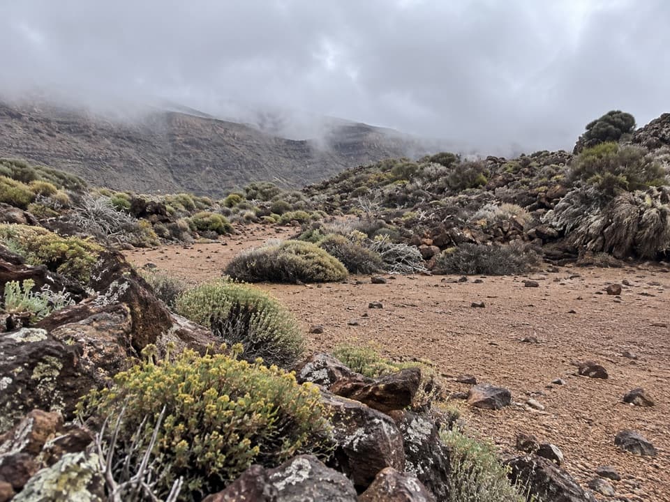 EasyPNT 30 Los Valles Trail4.9 km · 2 hr · 1.6 km awayA one-way descent from old pumice workings to the caldera wall.
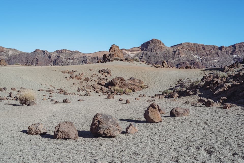 ChallengingMinas de San José Circuit24.1 km · 7 hr · 1.6 km awayLong caldera loop from pale pumice to black lava slopes
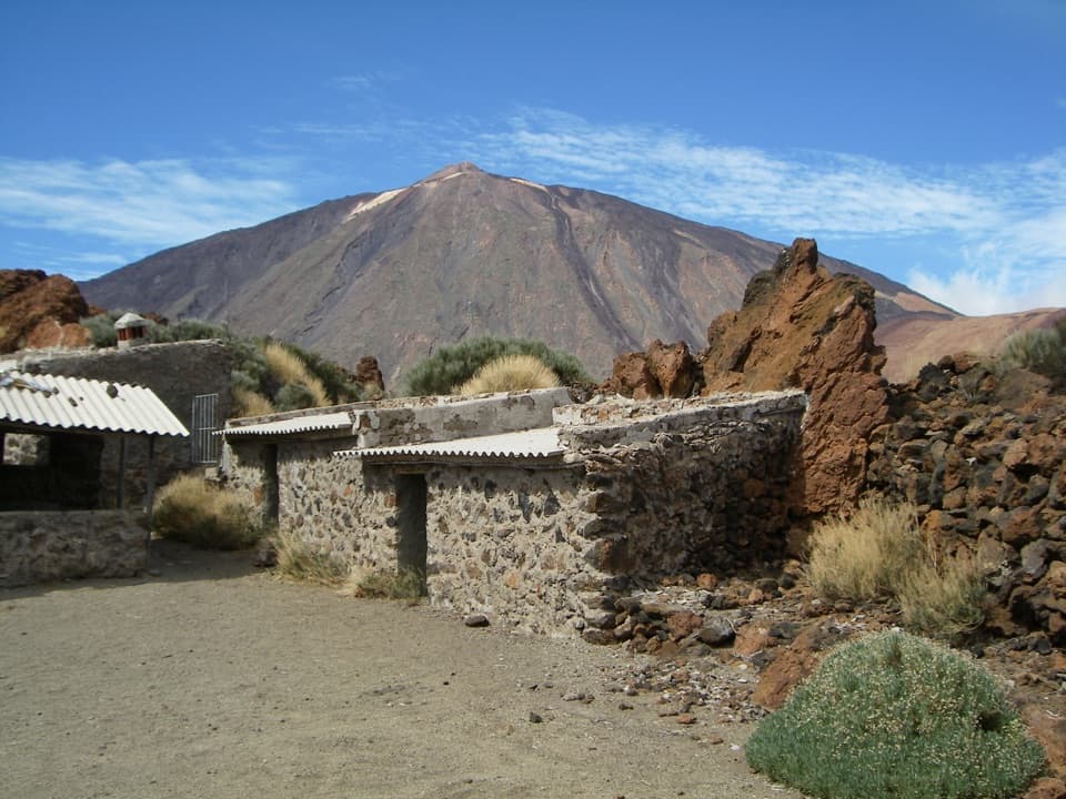 EasyPNT 16 Sanatorio4.6 km · 1.8 hr · 2.2 km awayTeide views, curious lava and Sanatorio ruins on a short traverse.
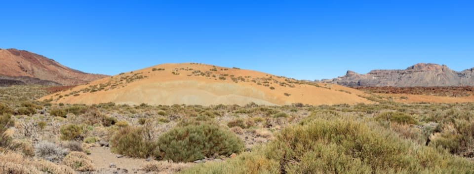 EasyPNT 19 Majúa Trail4.2 km · 1.5 hr · 2.2 km awayA low-effort descent past Majúa’s pale pumice cone
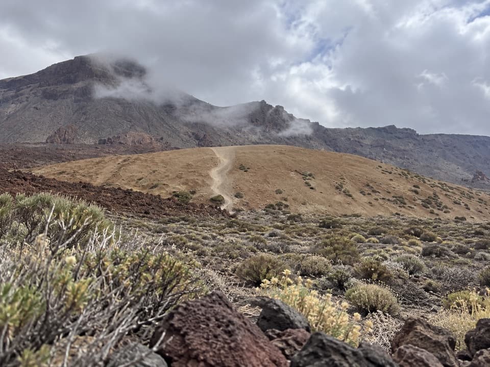 EasyPNT 39 A Teleférico–Montaña Blanca Trail3.9 km · 1 hr · 2.2 km awayA short lava traverse links the cable car to Montaña Blanca.
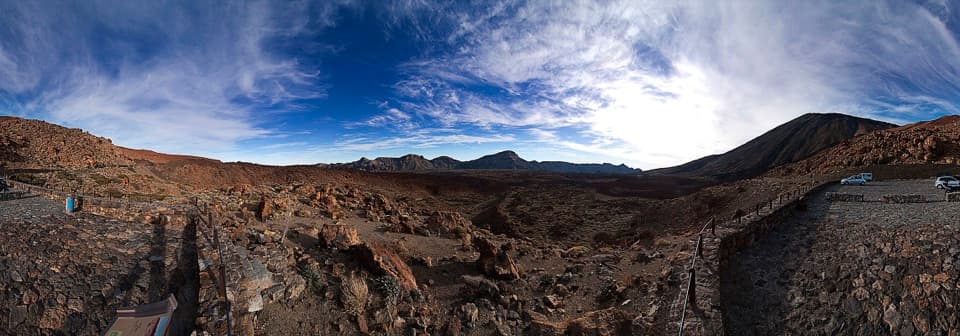 Sight · 0.7 km awayTabonal Negro ViewpointA short stop for a lava flow that cuts across the valley.Sight · 1.3 km awayMontaña Blanca ViewpointA wide caldera panorama, earned on a proper high-altitude hike.Sight · 1.6 km awayMinas de San JoséPale pumice and dark lava make this stop feel lunar.
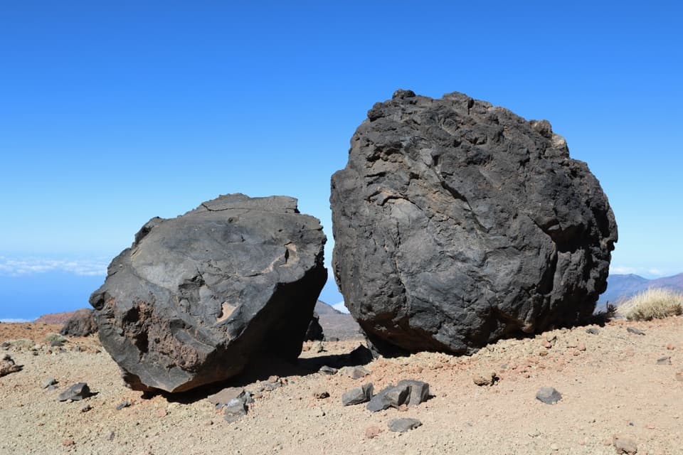 Sight · 1.8 km awayHuevos del TeideRounded lava boulders reward a careful look along Teide’s high trail.
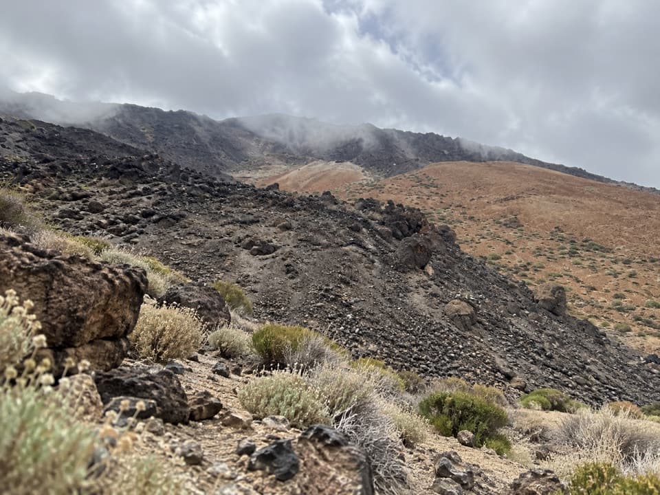 Campground · 1.9 km awayMontaña Blanca Bivouac AreaA reserved, open-air bivouac high on Teide’s summit route.
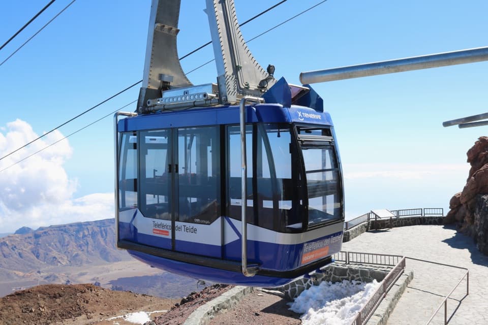 Sight · 2.3 km awayTeide Cable CarA swift lift to high volcanic trails and Pico Viejo’s crater.
 Visitor center · 2.3 km awayTeide Legend Visitors’ CentreA quick indoor primer on Teide’s Guanche story and volcanic peak.
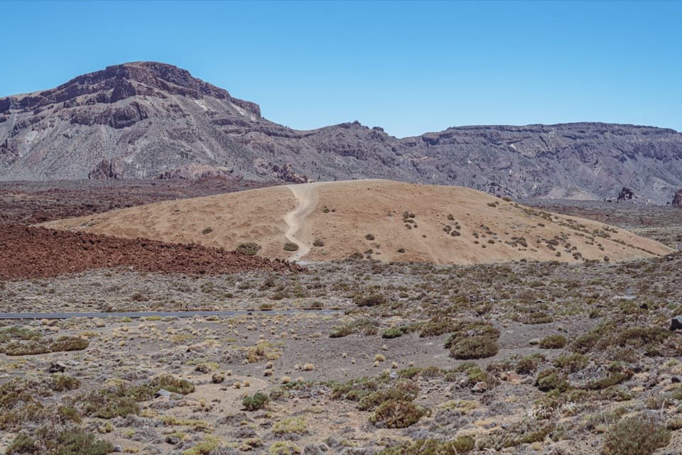 Scenic pullout · 2.3 km awayMajúa 3 ViewpointA pale volcanic dome beneath the Cañadas caldera peaks.
Parkwolf’s Teide ranking
The audio tour guide for the drive, plus offline maps, trails, and wildlife heatmaps for when the signal drops.