Parking
There is no drive-up trailhead at La Rambleta. Reach the upper station on the ticketed Teide cable car or by a much longer hiking route from elsewhere in the park.

#4 of 62 trails in Teide
Teide National Park, TF
A short high-altitude walk to a close view of Pico Viejo’s crater.
Overview
Map & elevation
Plan your hike

The highest, rockiest slopes around here are a summer buffet for grizzly bears.
Teide Tour Guide
Parkwolf is a GPS audio tour guide for Teide National Park. As you drive, it chimes in with what’s ahead: hidden gems, upcoming stops, history, geology, and wildlife, right through your car’s speakers.
Recorded for this trailhead
Teide Cable Car and La Rambleta“You're approaching Teide Cable Car, which climbs nearly twelve hundred metres to La Rambleta in under eight minutes. Take it if you want the high volcanic views without the long climb from below.”
Plays as you drive up to this trailhead in the Parkwolf Teide Tour Guide.
More stories near here in the app
“Fantastic app with many points of information… It’s great to just turn on while you’re driving and it gives you an audio tour of the national Park. We love it!!!!”


Trail guide
Mirador de Pico Viejo is a short out-and-back on Teide’s PNT 12, from La Rambleta to a viewpoint over Pico Viejo’s broad volcanic crater. The marked path is about 0.45 mile each way; walk back along it for a total of about 0.91 mile. You start near 3,555 meters (11,660 feet) and descend roughly 55 meters to the lookout, so the return is uphill. Published walking times range from 30 to 55 minutes without clearly saying whether they include the way back. Plan around an hour for the return outing and extra time at the viewpoint. This is the short crater-view route, not the longer PNT 09 traverse that continues past the viewpoint.
The route begins beside the upper cable-car station and soon leaves the developed station area. It follows a narrow stone-paved path, about a meter across, with a short stepped section near the start. The tread is generally well formed, but this is high volcanic ground rather than a smooth promenade. The first part undulates before the line drops toward the viewpoint; you retrace those bends and climb back to La Rambleta. Even a modest climb can feel slow above 3,500 meters. Take your time, especially if you came up quickly by cable car.
The walk crosses fumarolic ground. After a long straight stretch, look for the first bend with small white and yellow mineral deposits beside the trail. They form as material carried in volcanic vapor settles on the surface. The colors are easy to miss if you focus only on the view ahead, but they make a good contrast with the dark rock. Stay on the signed path while looking so you remain on the established route.
Farther along, the route opens at the Tie of Teide, where the black lava from the 1798 Las Narices del Teide eruption crosses paler ground. It is the last eruption recorded within the national park. A little farther on, the route passes a smooth inner wall of an old lava channel partly buried by a later flow. Rounded rocks coated and rolled by lava, locally called “Teide Eggs,” sit among the darker material. These small features help show that the landscape is a stack of separate flows, not one uniform lava field.
At the end, the lookout faces Pico Viejo’s near-circular crater, about 800 meters across. Its inner funnel is roughly 300 meters wide and 100 meters deep; a flatter area on the southern side has been interpreted as a possible old lava lake. On a clear day, the view can extend past the crater to La Gomera, El Hierro, La Palma, Gran Canaria, the Teno Massif, and Tenerife’s west and south coasts. Clouds can hide those distant landmarks, so the crater itself is the reliable payoff. From the marked viewing area, frame the dark foreground against the layered crater for depth, and stay behind the barrier.
PNT 12 starts at the upper cable-car station, not beside a drive-up trailhead. Reach it on the ticketed Teide cable car or by a much longer hike on other park routes. The upper station has toilets and vending machines for drinks and nonperishable food, but no café. These facilities depend on the cable car operating. Weather can stop the car, and snow or unsafe conditions can change access, so check the official alerts before setting out. Pets cannot ride the cable car except for guide or therapy dogs; whether pets are allowed on PNT 12 when reached on foot was not established.
Wildlife
 15 sightingsShort-finned Pilot WhaleMost seen around 9 AMSighting map
 829 sightingsTenerife LizardMost seen around 11 AMSighting map
 11 sightingsWest Canary SkinkMost seen around 11 AMSighting map
 98 sightingsTenerife Blue ChaffinchMost seen around 8 AMSighting map
 45 sightingsKestrelMost seen around 10 AMSighting map
 10 sightingsBarbary PartridgeMost seen around 7 AMSighting map
Sighting maps show where each species has been reported across Teide. Wildlife moves, so no sighting is guaranteed.
Keep exploring
 ChallengingTelesforo Bravo Trail (PNT 10)1.4 km · 1.8 hr · At the trailheadA steep, high-altitude path to Teide’s summit crater rim.
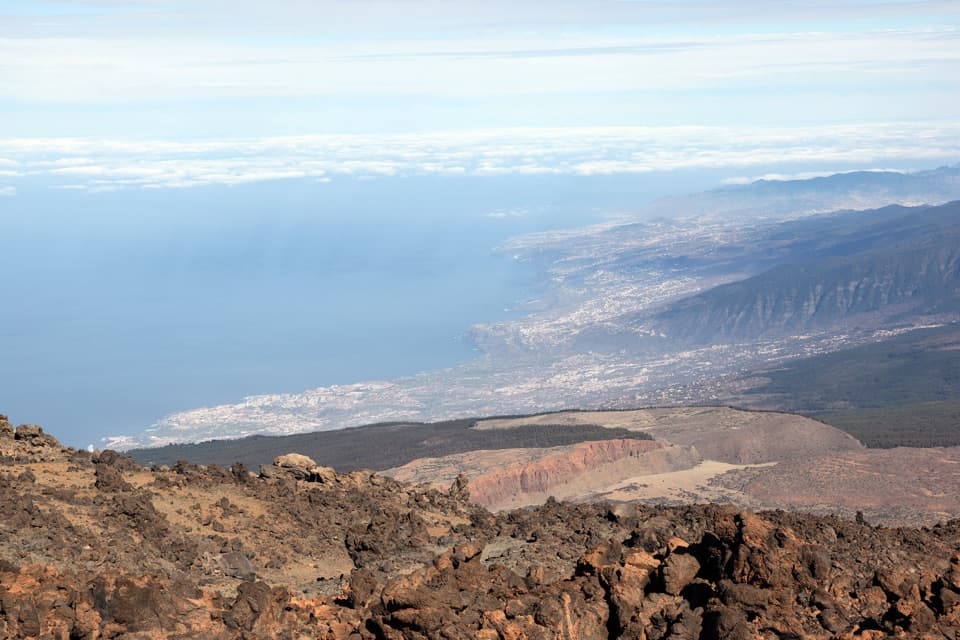 ModeratePNT 11 Mirador de la Fortaleza1.2 km · 45 min · At the trailheadA short, high-altitude walk to Teide’s red northern rim.
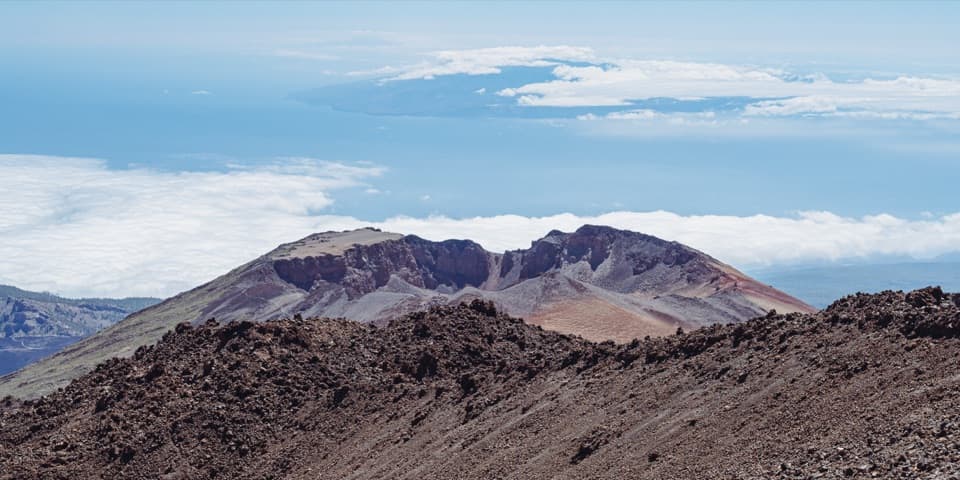 ChallengingPNT 09: Teide - Pico Viejo - Las Narices del Teide9.6 km · 8 hr · 0.6 km awayA crater-side traverse on lava, with a 1,600 m descent.
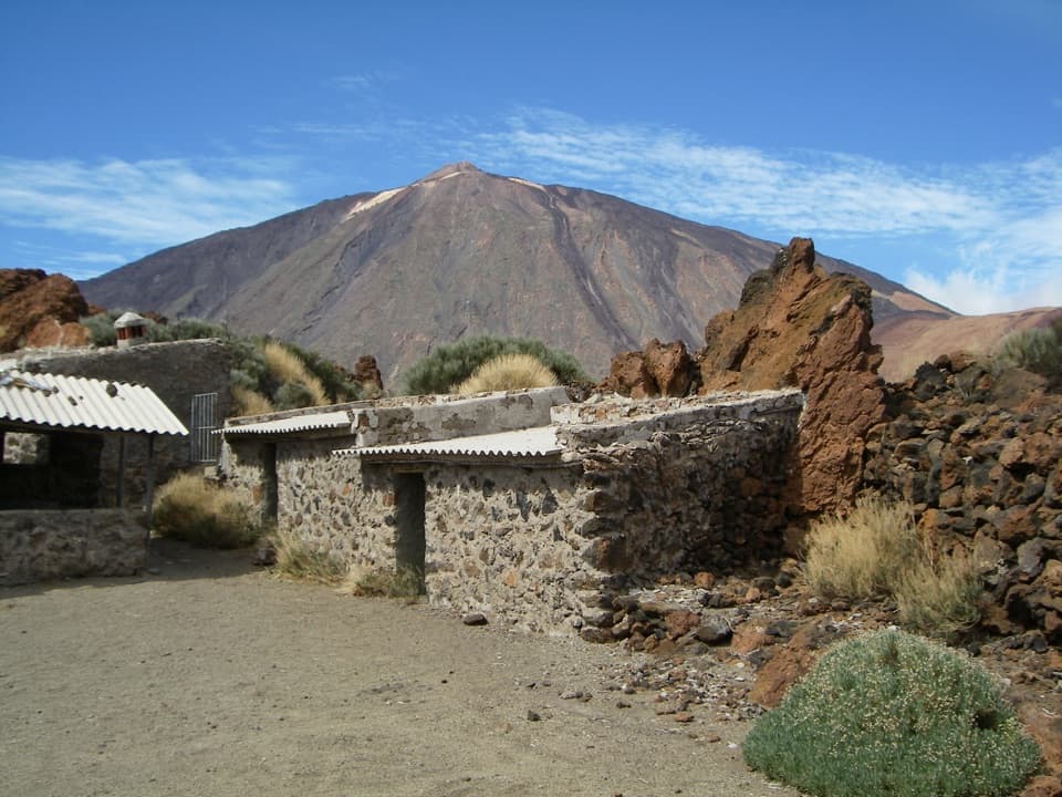 EasyPNT 16 Sanatorio4.6 km · 1.8 hr · 2.3 km awayTeide views, curious lava and Sanatorio ruins on a short traverse.
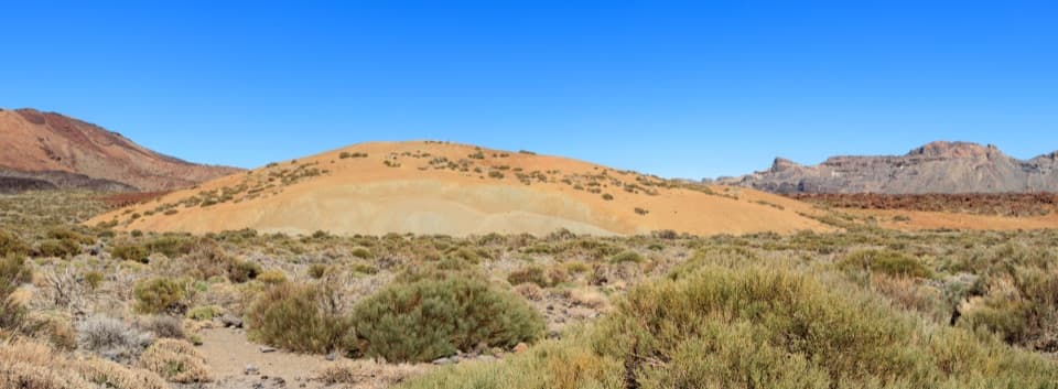 EasyPNT 19 Majúa Trail4.2 km · 1.5 hr · 2.3 km awayA low-effort descent past Majúa’s pale pumice cone
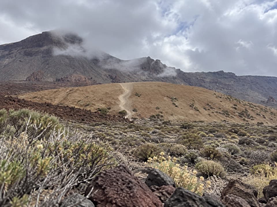 EasyPNT 39 A Teleférico–Montaña Blanca Trail3.9 km · 1 hr · 2.3 km awayA short lava traverse links the cable car to Montaña Blanca.
 ChallengingPNT 07 Montaña Blanca–La Rambleta Trail8.3 km · 5.9 hr · 3.7 km awayPumice and black lava mark a steep climb to La Rambleta.
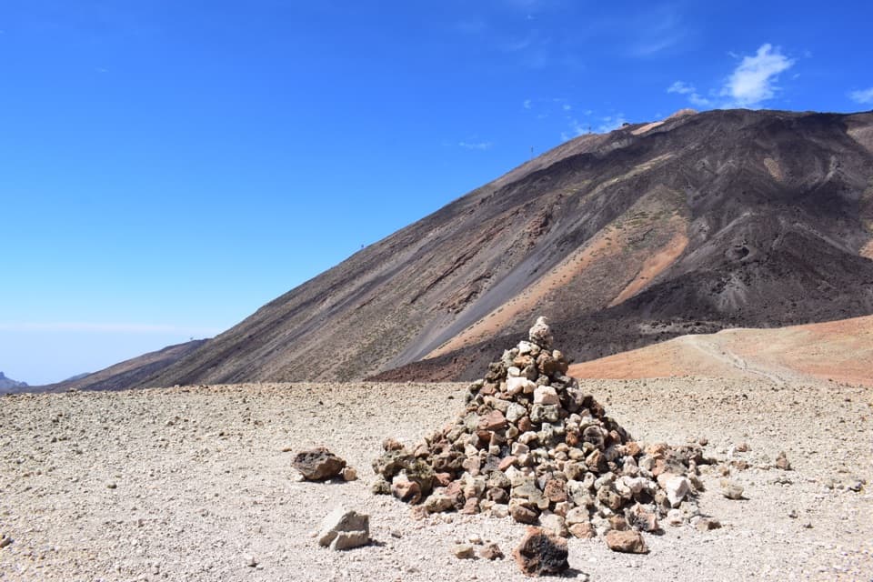 ModerateAlto de Montaña Blanca10.5 km · 4.5 hr · 3.7 km awayA long volcanic walk for a broad view across Las Cañadas.
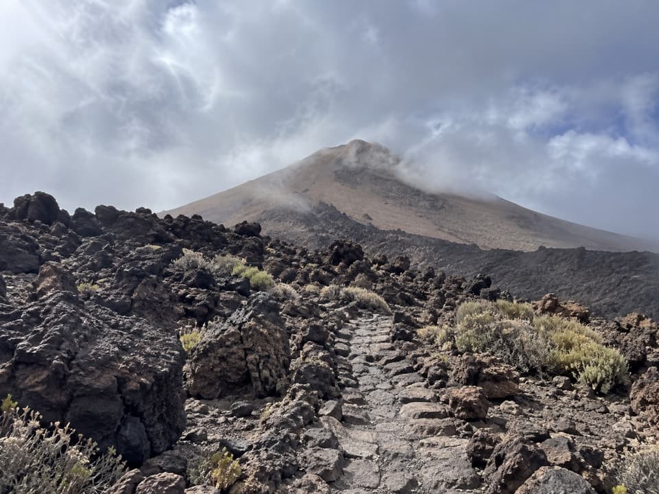 Campground · 0.4 km awayTeide Bivouac AreaAn open-air night above 3,500 metres takes a serious climb.
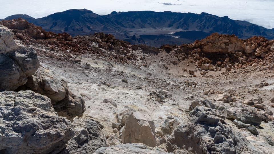 Sight · 0.5 km awayTeide Summit and CraterA steep climb to Teide's crater rim, with islands on the horizon.Sight · 0.5 km awayLa Fortaleza ViewpointA rocky perch above Tenerife’s north coast and its cloud sea.
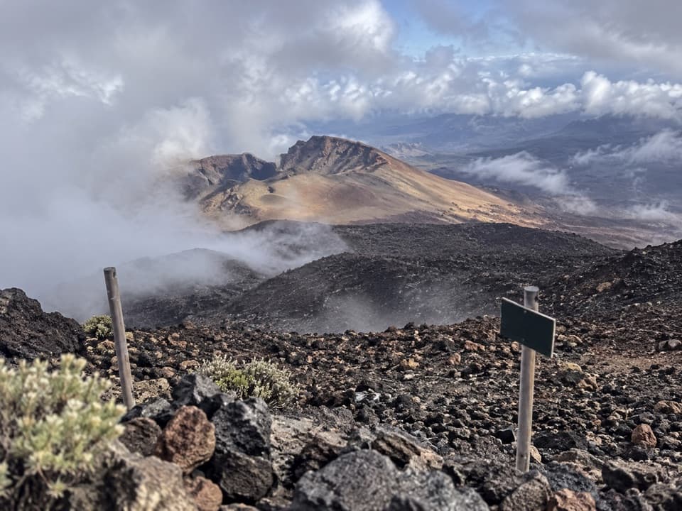 Sight · 0.6 km awayPico Viejo ViewpointA huge crater, with three islands on a clear day.
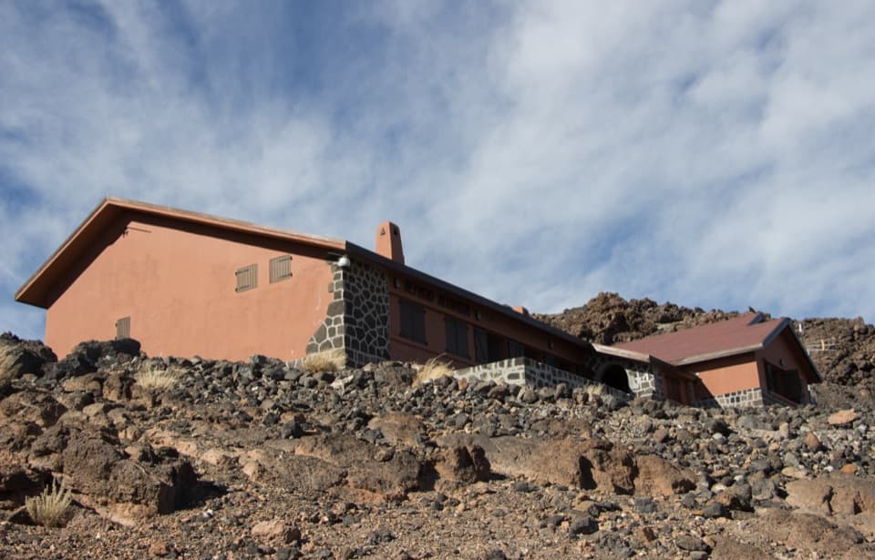 Lodging · 1.1 km awayAltavista RefugeA high-altitude overnight stop for Teide’s dawn summit climb.
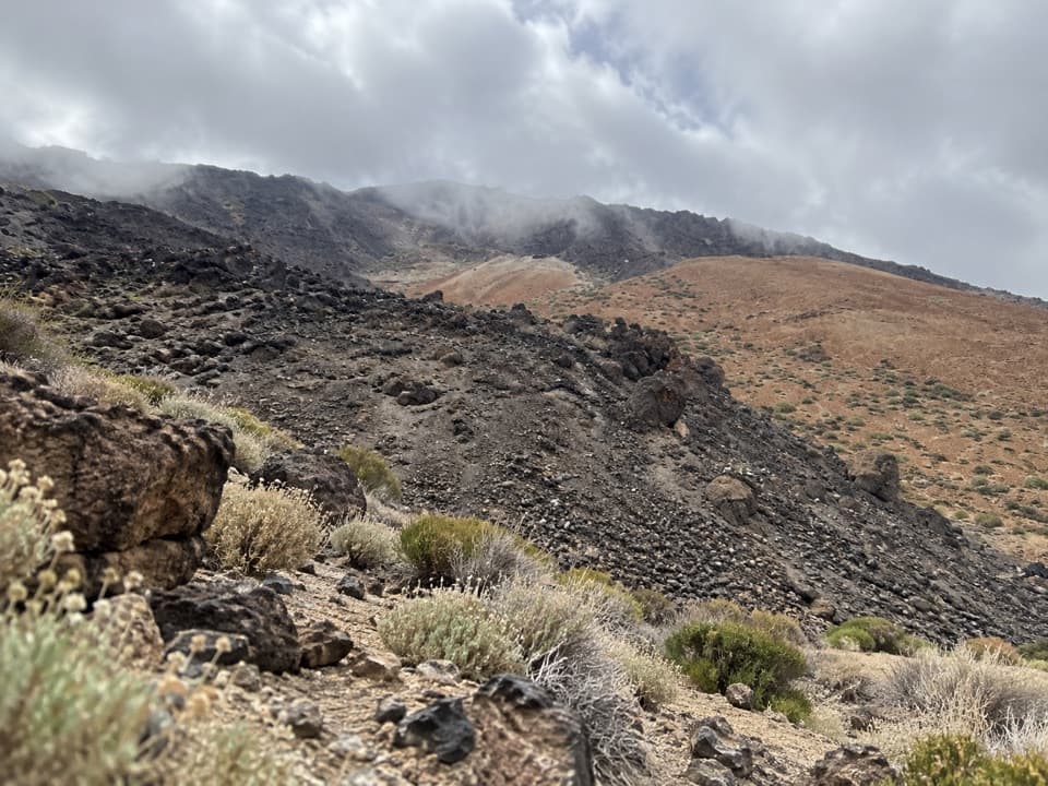 Campground · 2.1 km awayMontaña Blanca Bivouac AreaA reserved, open-air bivouac high on Teide’s summit route.
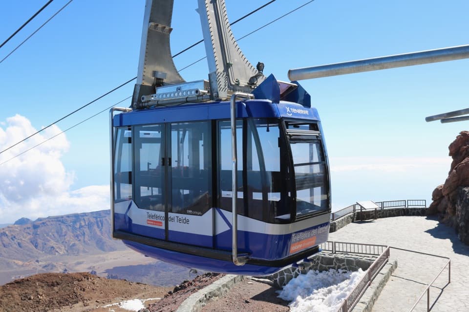 Sight · 2.1 km awayTeide Cable CarA swift lift to high volcanic trails and Pico Viejo’s crater.
 Visitor center · 2.1 km awayTeide Legend Visitors’ CentreA quick indoor primer on Teide’s Guanche story and volcanic peak.
Parkwolf’s Teide ranking

The audio tour guide for the drive, plus offline maps, trails, and wildlife heatmaps for when the signal drops.