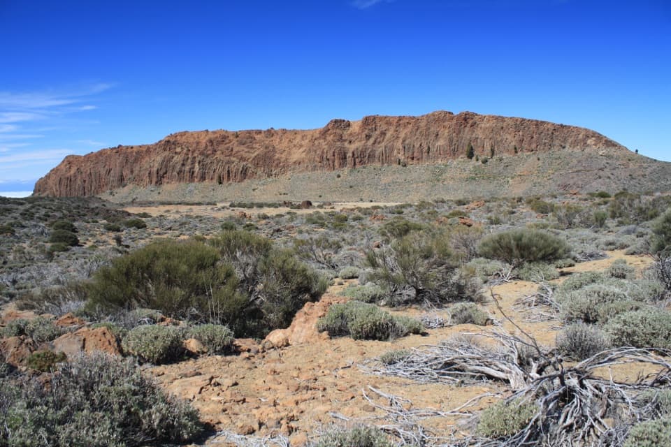
Parking
Start at Sámara Viewpoint (Mirador de Sámara) on TF-38 at kilometre 7.5. The roadside parking area has limited spaces; there are no nearby services.

#6 of 62 trails in Teide
Teide National Park, TF
Dark lapilli and pine frame this short volcanic circuit.
Overview
Map & elevation
Plan your hike

The highest, rockiest slopes around here are a summer buffet for grizzly bears.
Teide Tour Guide
Parkwolf is a GPS audio tour guide for Teide National Park. As you drive, it chimes in with what’s ahead: hidden gems, upcoming stops, history, geology, and wildlife, right through your car’s speakers.
Recorded for this trailhead
Sámara Viewpoint and Volcanic Cones“You're coming up on Sámara Viewpoint, where you can see volcanic cones with Pico Viejo behind them without leaving on a hike. Pull in if you'd like to take in this western side of the mountain.”
Plays as you drive up to this trailhead in the Parkwolf Teide Tour Guide.
More stories near here in the app
“Fantastic app with many points of information… It’s great to just turn on while you’re driving and it gives you an audio tour of the national Park. We love it!!!!”


Trail guide
Sámara Loop Trail is the official PNT 13 circuit from Sámara Viewpoint: 2.85 miles (4.59 km) over dark volcanic ground and around pine-dotted cones, returning to the same roadside viewpoint. Allow about 2½–2¾ hours and roughly 840 feet (256 m) of climbing. Its rolling grade makes it one of the more manageable high-country walks here, but loose stone and the nearly 2,000-metre elevation make it a real hike rather than a quick stop at the overlook. The distance here covers the circuit only, not the separate PNT 13.1 summit spur.
The signed path leaves the viewpoint through Canary Island pine, then climbs toward a junction on the volcanic slope. Follow the dark-green PNT 13 markers to keep circling the cones and return to the same start. A separate PNT 13.1 sign points up toward Alto de Sámara; that spur is optional and is not included in the distance or time above. It branches from and rejoins the main outing, so take it only if you want the extra climb and are ready for a longer walk. The summit spur is the clearest route to the broad Teide and Pico Viejo panorama.
Much of the tread crosses dark tephra, lapilli and scoria. The rises are small and manageable, but loose, uneven stones need more care than the mileage suggests, especially on sloping sections. At roughly 1,872–2,101 metres, open stretches get strong sun and the high-country weather can turn cool, cloudy or windy; the pine cover is intermittent rather than dependable shade.
This is young volcanic terrain, with the dark gravel of recent eruptions running up against Canary Island pine. The route passes Teide white broom (retama), Teide sticky broom (codeso) and rosalillo de cumbre. The Sámara and Botija cones are the walk’s main landmarks; take a moment to look across their overlapping rims instead of treating the loop as a simple connector between viewpoints.
Kestrels hunt over the open slope, while Berthelot’s pipit, Canary Islands chiffchaff, blue tit and Tenerife lizard are among the wildlife recorded along the route. The Iberian grey shrike is less common around the transition between pine and broom. The highland mouflon story is part of the landscape too: the animals were introduced to Tenerife in the 1970s for hunting and now threaten some native plant communities, so this walk passes through habitat the park is trying to protect.
Begin at Sámara Viewpoint (Mirador de Sámara) on TF-38 at kilometre 7.5. Parking there is limited, and there are no nearby services; plan food and water before reaching the trailhead. Access is free and no reservation is required under the normal rule. Check the park’s current access notices before driving out, since temporary restrictions can affect trail sectors. The loop’s best photo is the dark lapilli in the foreground with pines and the volcanic cones behind; take the summit spur if you want Teide and Pico Viejo in the frame.
Wildlife
 15 sightingsShort-finned Pilot WhaleMost seen around 9 AMSighting map
 829 sightingsTenerife LizardMost seen around 11 AMSighting map
 11 sightingsWest Canary SkinkMost seen around 11 AMSighting map
 98 sightingsTenerife Blue ChaffinchMost seen around 8 AMSighting map
 45 sightingsKestrelMost seen around 10 AMSighting map
 10 sightingsBarbary PartridgeMost seen around 7 AMSighting map
Sighting maps show where each species has been reported across Teide. Wildlife moves, so no sighting is guaranteed.
Keep exploring
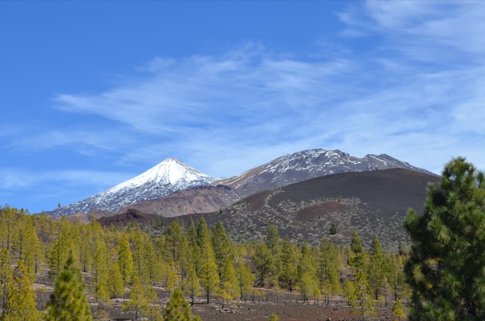 EasyPNT 32 Abeque Trail2.4 km · 1.8 hr · 0.6 km awayA lava path with a western view of Teide and Pico Viejo
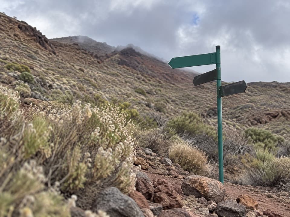 ModeratePNT 38 Cuevas Negras2.2 km · 1.5 hr · 2.9 km awayA high-country connector across Pico Viejo's bare lava slopes.
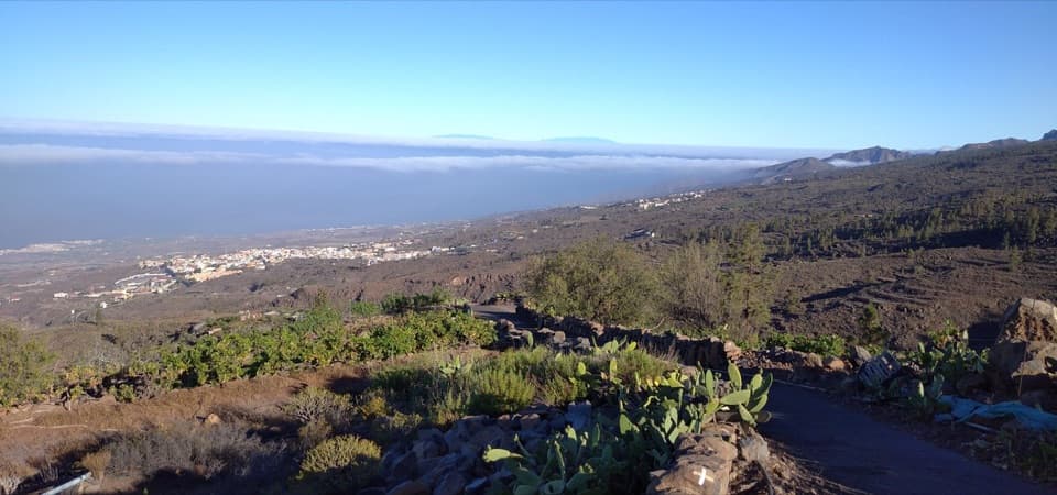 ModeratePR-TF 70.1 Boca Tauce–El Jaral Trail7 km · 3.1 hr · 5.5 km awayA highlands-to-village descent through pines and old footpaths.
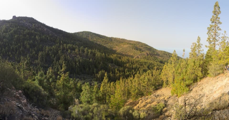 EasyPNT 35 Boca Chavao Trail0.7 km · 30 min · 5.7 km awayA short, steep descent to Fuente de Chavao
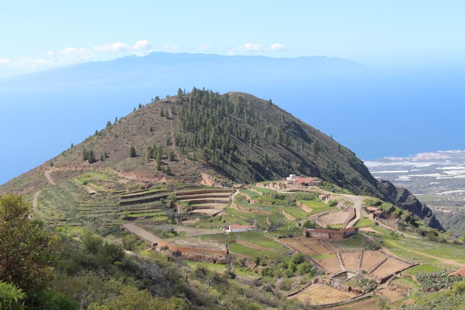 ChallengingPR-TF 70.2 Boca Tauce–Las Fuentes Trail6.7 km · 2.7 hr · 5.9 km awayA steep descent from highland pines to a terraced farming hamlet.
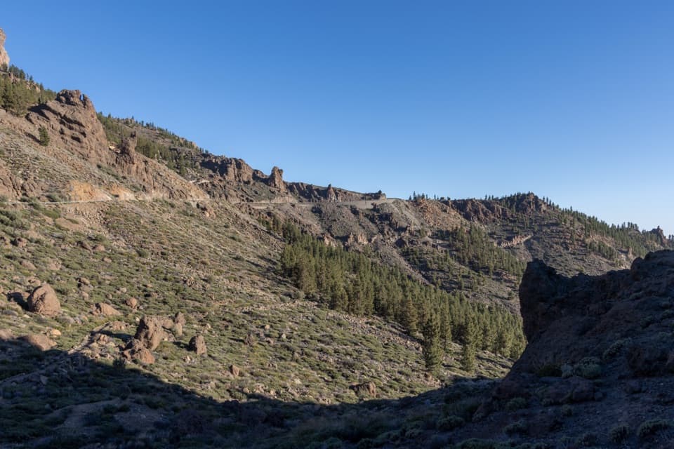 ModeratePNT 41 Barranco de Erques Trail1 km · 45 min · 7.4 km awayA one-way, 145-meter drop from Teide’s highlands to the ravine.
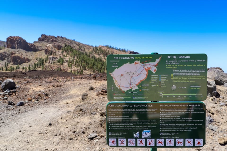 EasyPNT 18 Chavao Trail4.4 km · 1.8 hr · 7.4 km awayAn easy lava traverse to Pico Viejo and the Narices eruptive mouths.
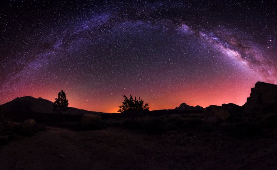 ModerateBoca Tauce to Refugio de Chasogo Trail8.3 km · 3 hr · 7.4 km awayTrade lava paths for pine forest on the way to Chasogo.Sight · At the trailheadSámara ViewpointA quick stop for Teide's volcanic ridges and cloud-sea sunsets.
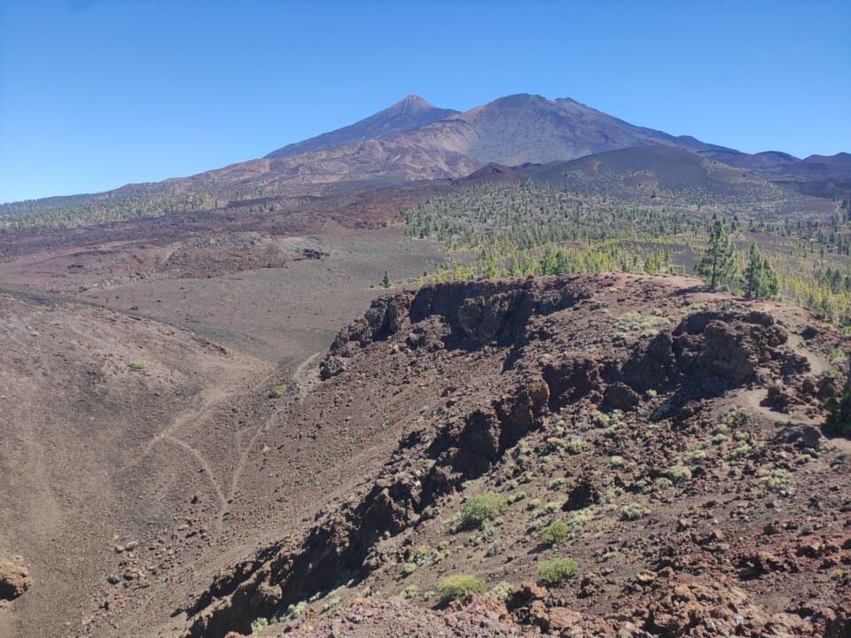 Sight · 0.3 km awaySámara Crater ViewpointA short climb to Sámara’s crater, lava field, and volcanic skyline.
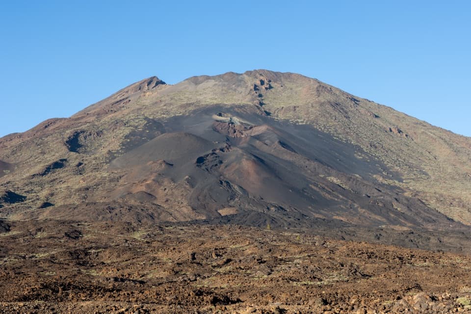 Sight · 4.1 km awayNarices del Teide ViewpointTwo 1798 eruption vents on Pico Viejo, right beside the TF-38.
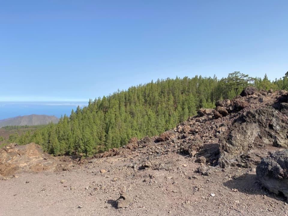 Sight · 4.4 km awayLos Poleos ViewpointCoast views where Tenerife’s pine slopes meet black volcanic ground.
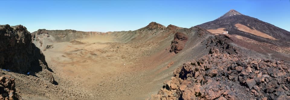 Sight · 6.1 km awayCráter de Pico ViejoLook into an 800-meter crater from its eastern rim.
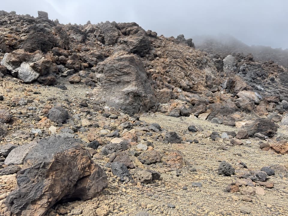 Campground · 6.3 km awayDegollada de Pico Viejo Bivouac AreaA permit-only bivouac between Pico Viejo and Teide.
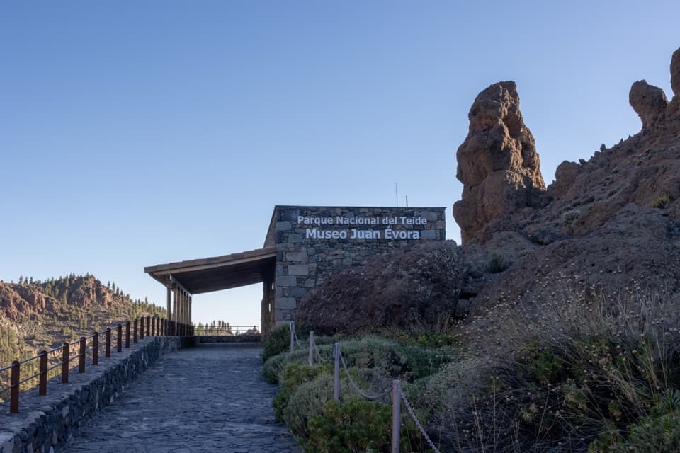 Sight · 7.4 km awayJuan Évora Ethnographic MuseumA restored shepherd’s home with a short, personal story of Las Cañadas.
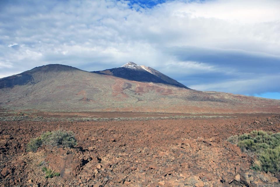 Sight · 7.5 km awayBoca de Tauce ViewpointA quick stop for the Teide–Pico Viejo panorama and lava plain.
Parkwolf’s Teide ranking

The audio tour guide for the drive, plus offline maps, trails, and wildlife heatmaps for when the signal drops.