PR-TF 70 Guía - Tágara - Boca Tauce in Teide National Park

Teide National Park, TF

PR-TF 70 Guía - Tágara - Boca Tauce

From old island villages to Teide's volcanic high country.

Photo: Wikimedia Commons
Length
14.5km
Time
7.2hr
Elev. change
1,501m
Difficulty
Challenging
  • High point 2,098 m
Parkwolf audio tour39 stories across Teide’s roads

Overview

About PR-TF 70 Guía - Tágara - Boca Tauce

Why go

  • A full change of scenery from historic villages and vineyards to Teide high country
  • Niágara ravine views and a volcanic finish at Boca Tauce

Heads up

  • Nearly 1,900 m of climbing makes this a demanding full-day walk
  • A one-way route requires transport planning, with limited parking at Boca Tauce

Map & elevation

The route

Loading the Teide map
Full map
Elevation597–2,098 m
TrailheadPlaza de Nuestra Señora de la Luz, Guía de Isora28.20965, -16.77839
Keep this map with you offline in the Parkwolf app

Plan your hike

Before you go

Parking

Begin at Plaza de Nuestra Señora de la Luz in Guía de Isora; parking is available in town. The finish is at Juan Évora Ethnographic Museum at Boca Tauce, where spaces are limited in a small parking area. Arrange a pickup or check current bus schedules for both ends before setting out.

Safety

High difficulty, with about 1,861 m of climbing to 2,078 m; the route is not accessible for people with reduced mobility. No potable-water stop is confirmed, so carry enough for the full day. Pet access could not be established for the complete route; check with the managing authority before bringing a dog.

3 active Teide alerts

  • CautionActive wildfire risk and preventive measuresTenerife ON currently lists wildfire risk and preventive wildfire measures; check the live restrictions before visiting Teide National Park.Official details
  • CautionNo smoking in Teide National ParkSmoking is prohibited throughout Teide National Park as a preventive measure against forest fires.Official details
See all 3 alerts
A park ranger sits on a dash-mounted phone, talking, as Parkwolf’s Tour Guide plays “Army Cutworm Moths: A Grizzly Bear Buffet” on Grand Loop Road below Dunraven Pass in Yellowstone
Parkwolf Tour GuideThe highest, rockiest slopes around here are a summer buffet for grizzly bears.

Teide Tour Guide

Your drive to PR-TF 70 Guía - Tágara - Boca Tauce, narrated.

Parkwolf is a GPS audio tour guide for Teide National Park. As you drive, it chimes in with what’s ahead: hidden gems, upcoming stops, history, geology, and wildlife, right through your car’s speakers.

More stories near here in the app

  • The Sheep People Brought
  • Green Shoots on Blackened Pines
  • Sámara Viewpoint and Volcanic Cones
  • Narices del Teide Viewpoint
  • 39 audio storiesacross Teide’s roads, triggered by GPS as you drive
  • Wildlife heatmapsfor Short-finned Pilot Whale, Tenerife Lizard, West Canary Skink, and 10 more
  • Works offlinemaps, 62 trails, 49 places, and audio download before you lose signal
  • CarPlay readysimple controls built for the drive
★★★★★
“Fantastic app with many points of information… It’s great to just turn on while you’re driving and it gives you an audio tour of the national Park. We love it!!!!”
JMJamesApp Store review
Download Parkwolf on the App StoreGet Parkwolf on Google Play

4.7 from 8,600+ ratings

Trail guide

Hiking PR-TF 70 Guía - Tágara - Boca Tauce

A village-to-high-country traversePR-TF 70 is a demanding point-to-point walk from Plaza de Nuestra Señora de la Luz in Guía de…

PR-TF 70 is a demanding point-to-point walk from Plaza de Nuestra Señora de la Luz in Guía de Isora to Boca Tauce, by way of Aripe, Chirche, Tágara and Boca de Chavao. The mapped line is 14.45 km (9 mi) one way; allow about 7 hours 10 minutes. It climbs about 1,861 m and descends 403 m, from roughly 590 m to a high point just over 2,078 m. This is an all-day climb, not a loop, so sort out the return before starting.

Some published trail details still give 17.5–17.7 km and a longer time. I could not verify which added section those figures include; the 14.45 km follows the currently mapped PR-TF 70 line. Check the route map and plan for the version you intend to walk.

Plan both endsStart at the plaza in Guía de Isora, where parking is available in town.

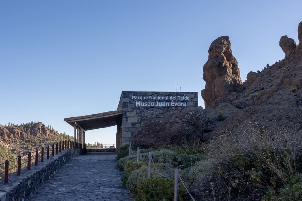
Start at the plaza in Guía de Isora, where parking is available in town. The route ends at Juan Évora Ethnographic Museum at Boca Tauce, where the parking area is small and spaces are limited. A one-way route needs a pickup or a transit plan; bus service is listed at both ends, but check current schedules before relying on it. No food or potable-water stop is confirmed along the route, so carry what you need for a long mountain day.

Streets, villages and old farm workThe first part climbs through Guía de Isora and continues through Aripe and Chirche.

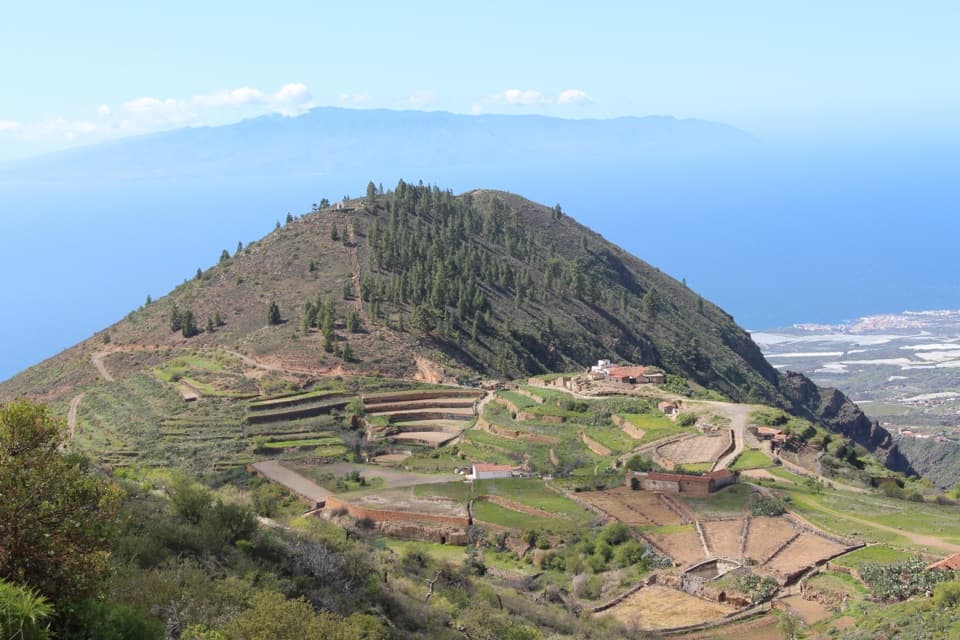
The first part climbs through Guía de Isora and continues through Aripe and Chirche. The route passes old tile ovens, fruit-drying areas and threshing floors before reaching Chirche's square. Guía de Isora's historic centre grew around an early local place of worship, documented by the first half of the 16th century; most homes in the protected ensemble date from the 19th century.

Through Tágara pine forestAfter Chirche, the route crosses vineyards and scrub to La Era de Las Vistas, then enters the…

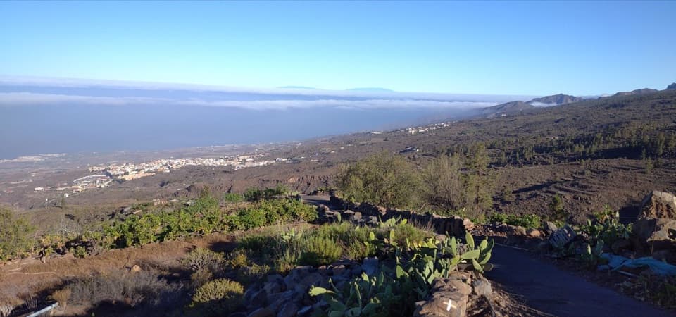
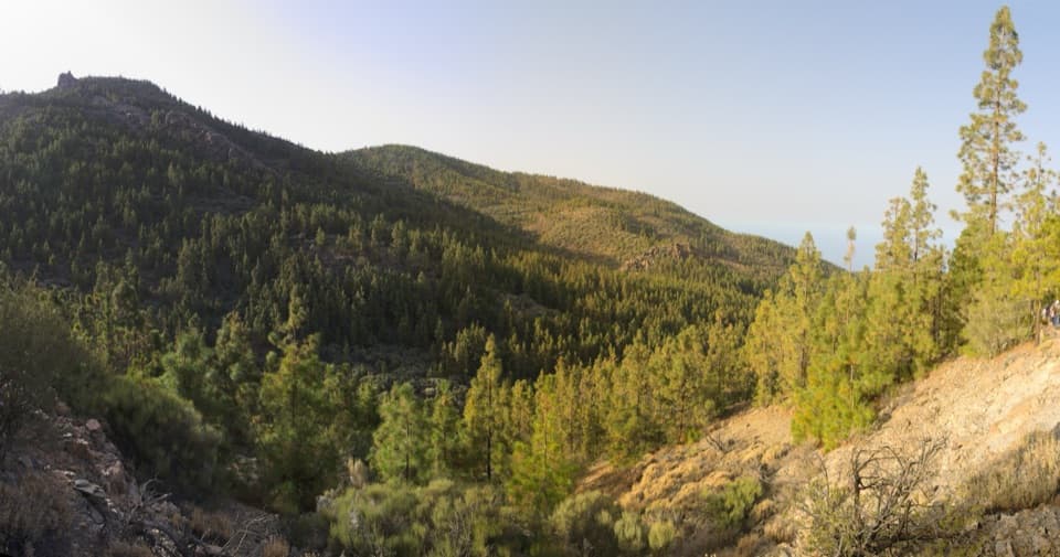
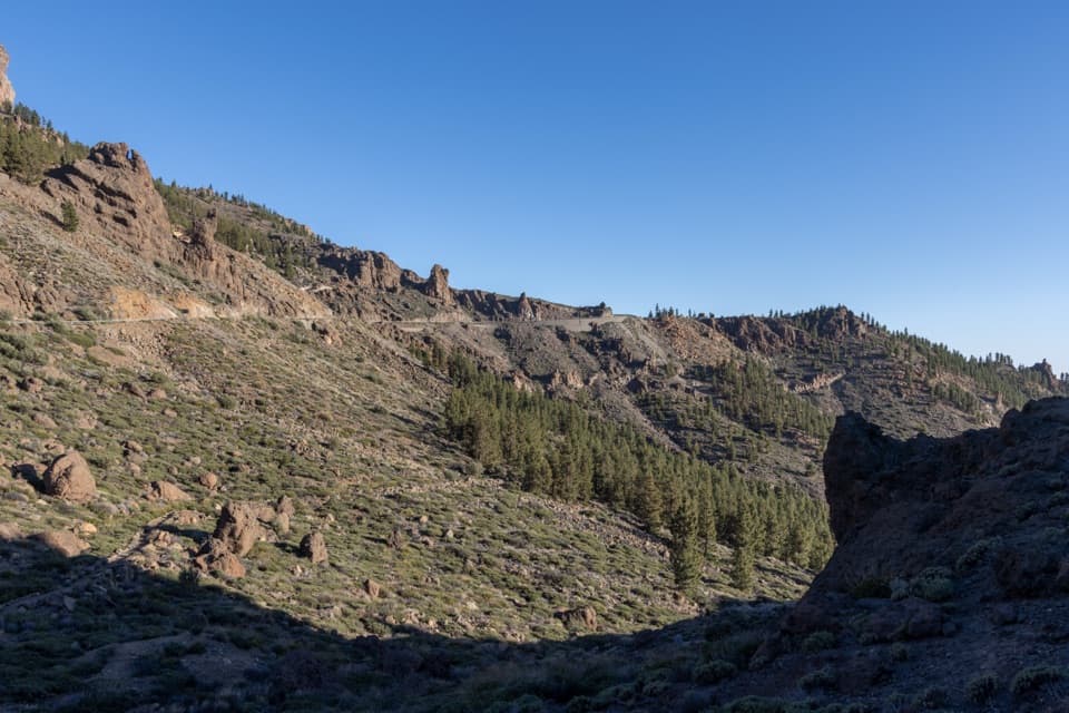
After Chirche, the route crosses vineyards and scrub to La Era de Las Vistas, then enters the Tágara pine forest. From the forest toward Boca de Chavao, views open over the Niágara ravine. This is the route's signature view: pause where the ravine opens and include some of the pines in the foreground to show the scale of the drop.

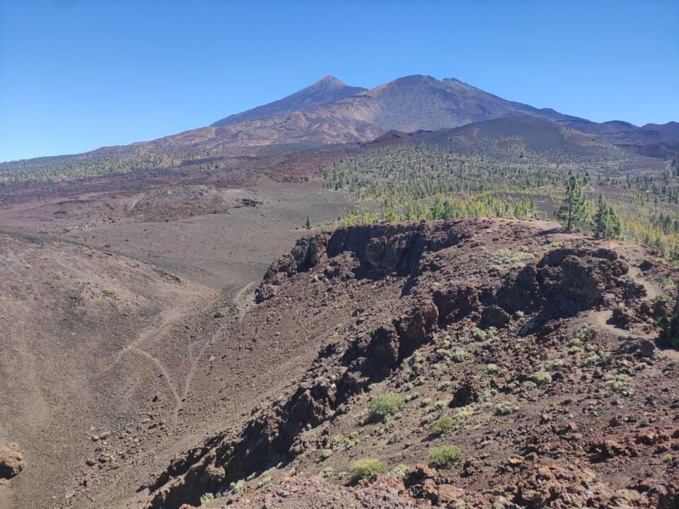
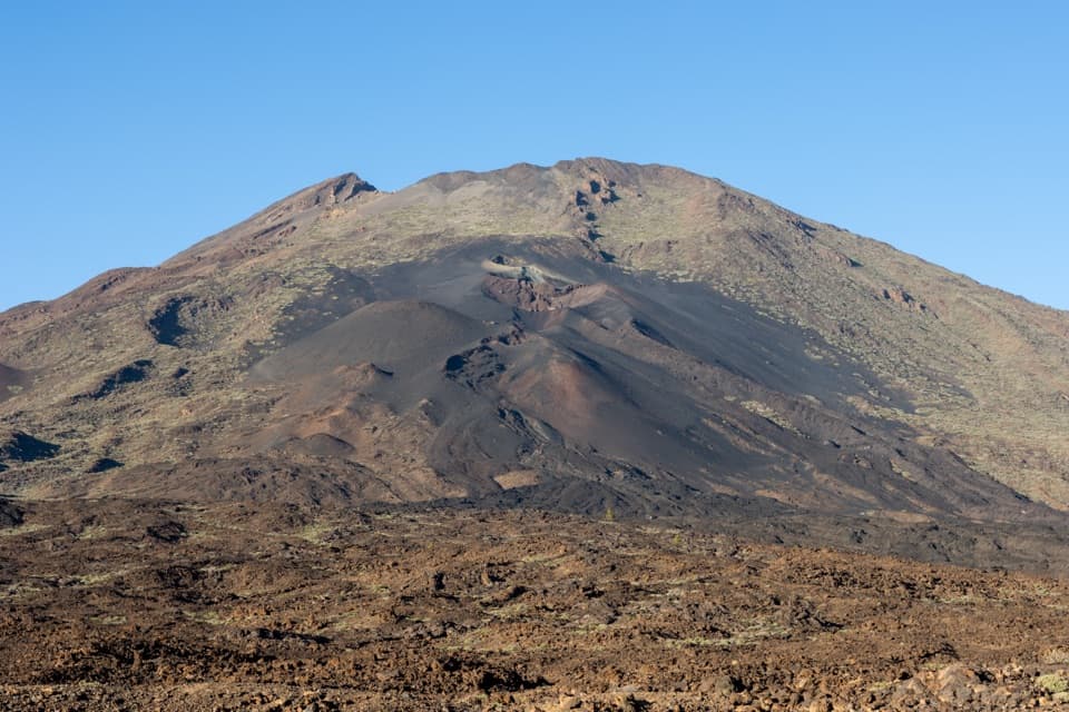
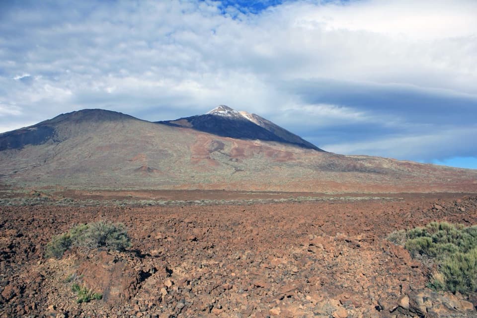
The volcanic finishBeyond Boca de Chavao, the trail crosses volcanic terrain beneath prominent rock formations…

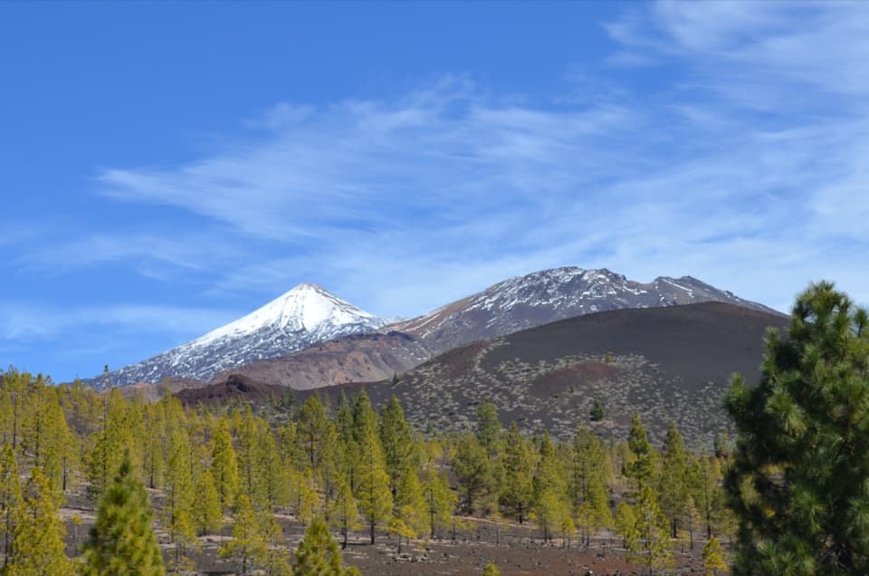
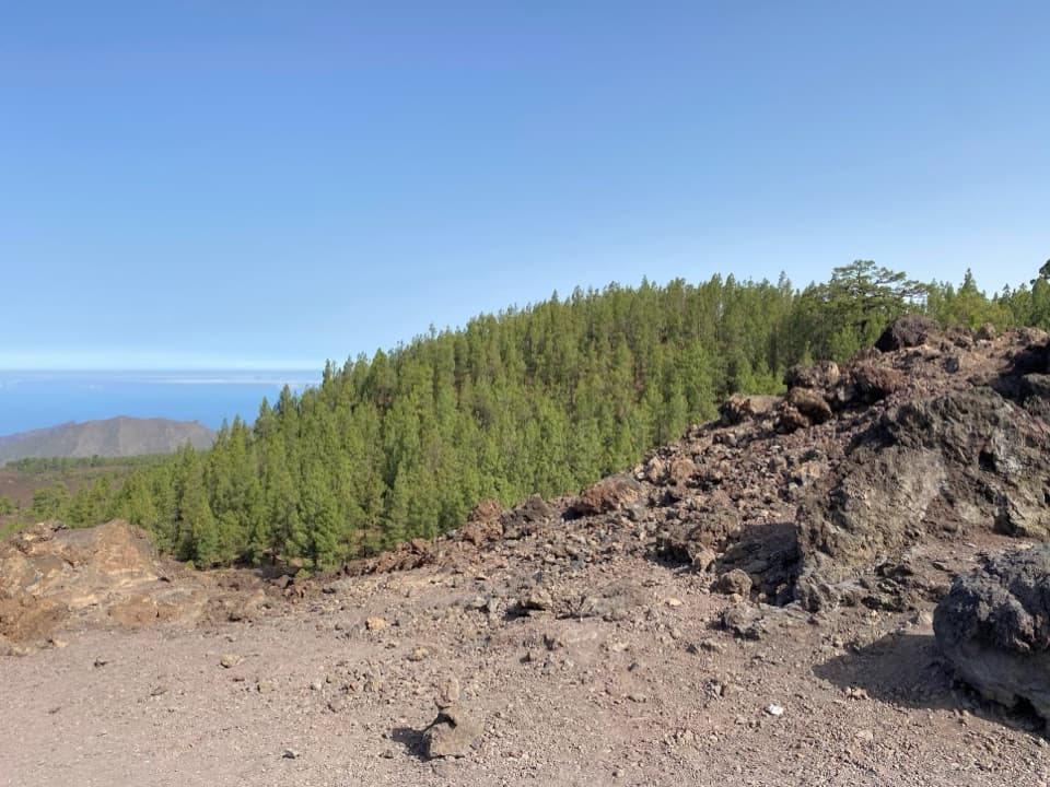
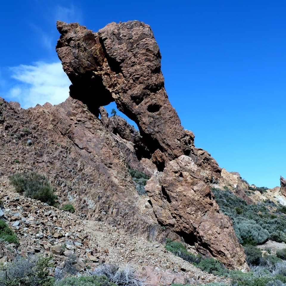
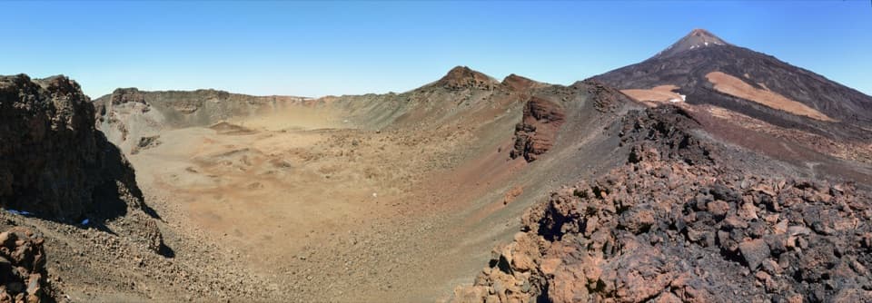
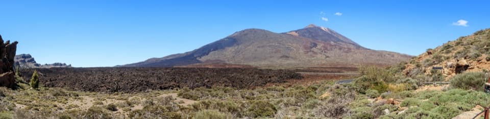
Beyond Boca de Chavao, the trail crosses volcanic terrain beneath prominent rock formations before ending at Boca Tauce. Juan Évora's restored house at the end is a small ethnographic museum about the herders who lived in Las Cañadas; Évora is remembered as its last resident. The route is classified as high difficulty and is not accessible for people with reduced mobility.

Wildlife

Wildlife in Teide

All Teide wildlife maps

Sighting maps show where each species has been reported across Teide. Wildlife moves, so no sighting is guaranteed.

Keep exploring

Near PR-TF 70 Guía - Tágara - Boca Tauce

See it all on the map

Trails that start nearby

Places near the trailhead

Parkwolf’s Teide ranking

Top-rated trails in Teide

All 62 trails
  1. 1Telesforo Bravo Trail (PNT 10)Challenging · 1.4 km
  2. 2PNT 03 Roques de García LoopModerate · 3.5 km
  3. 3Alto de Guajara Summit LoopChallenging · 11.1 km
  4. 4Mirador de Pico Viejo Trail (PNT 12)Moderate · 1.5 km
  5. 5PNT 07 Montaña Blanca–La Rambleta TrailChallenging · 8.3 km
  6. 6Sámara Loop TrailModerate · 4.6 km

Take Parkwolf to Teide.

The audio tour guide for the drive, plus offline maps, trails, and wildlife heatmaps for when the signal drops.

4.7 from 8,600+ ratings

Download Parkwolf on the App StoreGet Parkwolf on Google Play