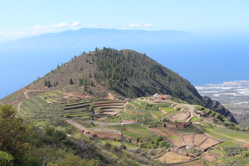
PR-TF 70.2 Boca Tauce–Las Fuentes Trail in Teide National Park

Teide National Park, TF

PR-TF 70.2 Boca Tauce–Las Fuentes Trail

A steep descent from highland pines to a terraced farming hamlet.

Photo: Wikimedia Commons
Length
6.7km
Time
2.7hr
Elev. change
1,032m
Difficulty
Challenging
  • No dogs
  • High point 2,006 m

Hear the audio tour

Lava That Looks Like Rope

Overview

About PR-TF 70.2 Boca Tauce–Las Fuentes Trail

Why go

  • A long downhill route into a distinctive farming hamlet.
  • Clear-day views reach three western islands.
  • The walk moves from highland pine into old agricultural terraces.

Heads up

  • One-way logistics require a pickup or vehicle shuffle.
  • The steep, rocky descent makes for demanding footing.

Map & elevation

The route

Loading the Teide map
Full map
Elevation974–2,006 m
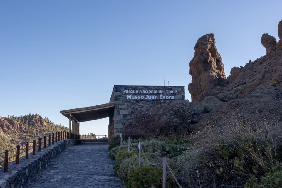
TrailheadLlano del Negro / Tumba del Negro, beside Juan Évora Ethnographic Museum (TF-21 km 53.5)28.21863, -16.69999
Keep this map with you offline in the Parkwolf app

Plan your hike

Before you go

Parking

Start at the small parking area at Llano del Negro/Tumba del Negro beside the Juan Évora Ethnographic Museum on TF-21 (km 53.5); spaces are limited. Las Fuentes is the one-way finish and also has limited village parking, with no nearby services. Arrange your return before setting out.


Safety

Expect a steep descent on loose rock and uneven ground, with ravines and watercourses along the route. The route is not accessible for people with reduced mobility. Official guidance warns of livestock, bees and dogs; stay on the marked trail and out of private property, hunting areas, water galleries, wells and caves. Ordinary pets are prohibited in the Teide National Park; guide dogs and authorized working dogs are exceptions.

3 active Teide alerts

  • CautionActive wildfire risk and preventive measuresTenerife ON currently lists wildfire risk and preventive wildfire measures; check the live restrictions before visiting Teide National Park.Official details
  • CautionNo smoking in Teide National ParkSmoking is prohibited throughout Teide National Park as a preventive measure against forest fires.Official details
See all 3 alerts
A park ranger sits on a dash-mounted phone, talking, as Parkwolf’s Tour Guide plays “Army Cutworm Moths: A Grizzly Bear Buffet” on Grand Loop Road below Dunraven Pass in Yellowstone
Parkwolf Tour GuideThe highest, rockiest slopes around here are a summer buffet for grizzly bears.

Teide Tour Guide

Your drive to PR-TF 70.2 Boca Tauce–Las Fuentes Trail, narrated.

Parkwolf is a GPS audio tour guide for Teide National Park. As you drive, it chimes in with what’s ahead: hidden gems, upcoming stops, history, geology, and wildlife, right through your car’s speakers.

Recorded for this area

Lava That Looks Like Rope
0:00 / 0:33
“Some lava looks like coils of rope laid across the ground. Those folds formed while the rock was still moving. The surface cooled into a skin, and the hotter lava flowing beneath dragged and wrinkled it.”

Plays on the road 1.4 km from the trailhead in the Parkwolf Teide Tour Guide.

More stories near here in the app

  • Boca Tauce and Juan Évora Museum
  • Narices del Teide Viewpoint
  • Why the Clouds Stay Below
  • How Lava Makes a Tunnel
  • 39 audio storiesacross Teide’s roads, triggered by GPS as you drive
  • Wildlife heatmapsfor Short-finned Pilot Whale, Tenerife Lizard, West Canary Skink, and 10 more
  • Works offlinemaps, 62 trails, 49 places, and audio download before you lose signal
  • CarPlay readysimple controls built for the drive
★★★★★
“Fantastic app with many points of information… It’s great to just turn on while you’re driving and it gives you an audio tour of the national Park. We love it!!!!”
JMJamesApp Store review
Download Parkwolf on the App StoreGet Parkwolf on Google Play

4.7 from 8,600+ ratings

Trail guide

Hiking PR-TF 70.2 Boca Tauce–Las Fuentes Trail

A one-way descent to Las FuentesPR-TF 70.2 is a 4.2-mile (6.

PR-TF 70.2 is a 4.2-mile (6.72-km) point-to-point walk from Llano del Negro, also called Tumba del Negro, down to the hamlet of Las Fuentes at about 992 m. It drops roughly 983 m overall, with about 47 m of climbing and 1,027 m of descent. Allow about 2 hours 40 minutes of walking, plus stops. This is the full named route, not a loop or the shorter walk that starts at Las Fuentes; arrange a pickup or vehicle shuffle at the far end.

Follow the marked branchThe footpath repeatedly cuts across a nearby track as it descends through pine forest.

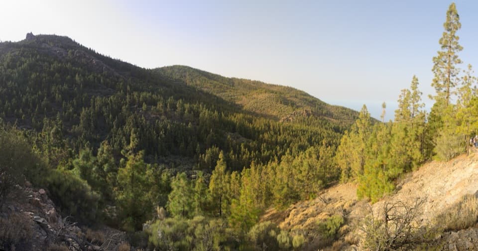
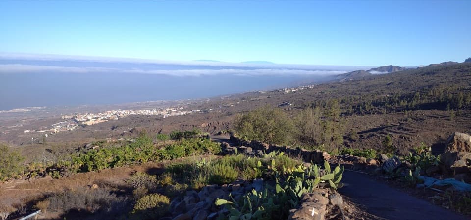
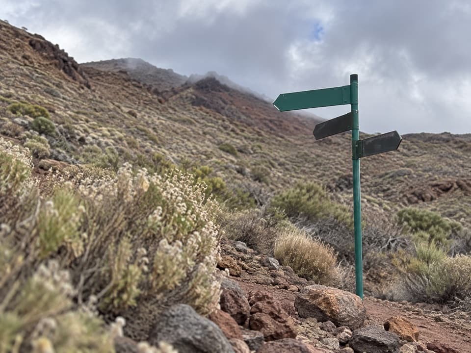
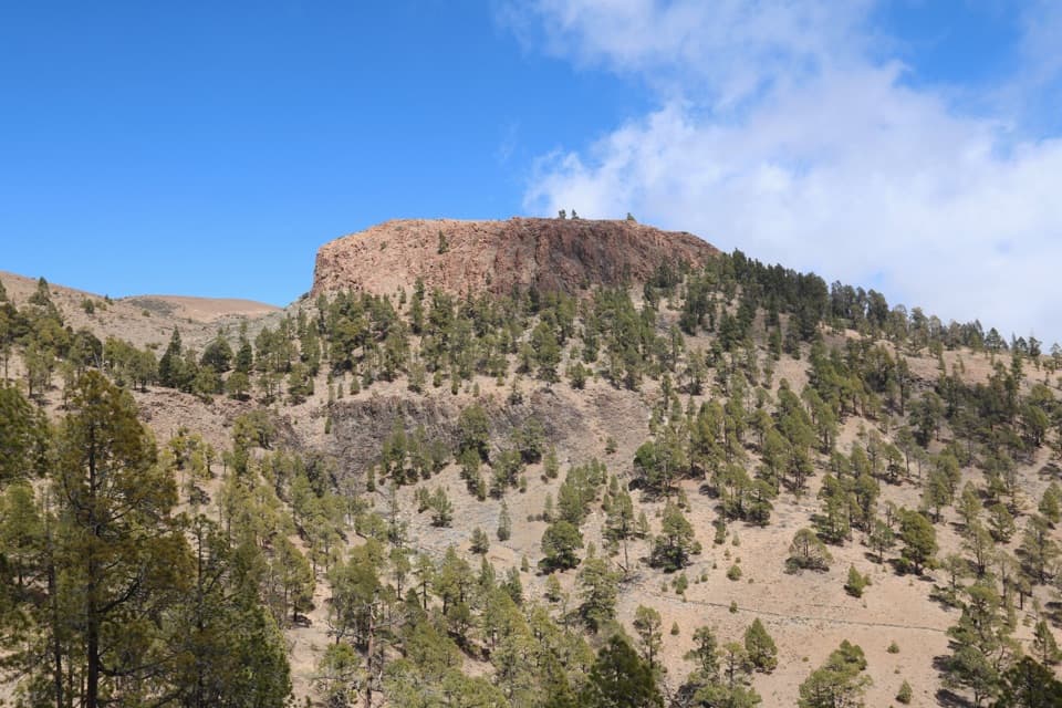
The footpath repeatedly cuts across a nearby track as it descends through pine forest. Follow the yellow-and-white PR markers. At the junction where the other branch continues toward Adeje, take the right-hand route for Las Fuentes; farther down, the marked path leaves the track on the right. The pines thin into tagasaste and codeso scrub, with views over the mountains of Isora and, on clear days, La Gomera, La Palma and El Hierro.

Into the old farming hamletNear the bottom, the route passes Los Poleos, a traditional house once set with small pens for…

Near the bottom, the route passes Los Poleos, a traditional house once set with small pens for goats and chickens, then follows an old bridle path with high stone walls into Las Fuentes. The settlement’s terraces, bread ovens, threshing floors and wine presses tell the story of a rural farming and livestock center. Local accounts differ on its later population history, so the enduring point is the landscape and its surviving farm structures.

Plan the finishThe start is at Llano del Negro/Tumba del Negro beside the Juan Évora Ethnographic Museum on…

The start is at Llano del Negro/Tumba del Negro beside the Juan Évora Ethnographic Museum on TF-21; parking there is limited. Las Fuentes also has limited parking and no nearby services. The trail page does not describe a return shuttle, so settle the pickup or car shuffle before you begin. The route crosses Teide National Park, where ordinary pets are prohibited; guide dogs are an exception.

Wildlife

Wildlife in Teide

All Teide wildlife maps

Sighting maps show where each species has been reported across Teide. Wildlife moves, so no sighting is guaranteed.

Keep exploring

Near PR-TF 70.2 Boca Tauce–Las Fuentes Trail

See it all on the map

Trails that start nearby

Places near the trailhead

Parkwolf’s Teide ranking

Top-rated trails in Teide

All 62 trails
  1. 1Telesforo Bravo Trail (PNT 10)Challenging · 1.4 km
  2. 2PNT 03 Roques de García LoopModerate · 3.5 km
  3. 3Alto de Guajara Summit LoopChallenging · 11.1 km
  4. 4Mirador de Pico Viejo Trail (PNT 12)Moderate · 1.5 km
  5. 5PNT 07 Montaña Blanca–La Rambleta TrailChallenging · 8.3 km
  6. 6Sámara Loop TrailModerate · 4.6 km

Take Parkwolf to Teide.

The audio tour guide for the drive, plus offline maps, trails, and wildlife heatmaps for when the signal drops.

4.7 from 8,600+ ratings

Download Parkwolf on the App StoreGet Parkwolf on Google Play