Parking
Start at the PNT 18 junction at Boca Chavao. Specific trailhead parking and far-end pickup arrangements were not confirmed; use designated park parking.
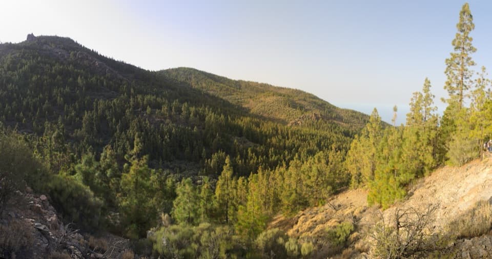
Teide National Park, TF
A short, steep descent to Fuente de Chavao
Overview
Map & elevation
Plan your hike

The highest, rockiest slopes around here are a summer buffet for grizzly bears.
Teide Tour Guide
Parkwolf is a GPS audio tour guide for Teide National Park. As you drive, it chimes in with what’s ahead: hidden gems, upcoming stops, history, geology, and wildlife, right through your car’s speakers.
Recorded for this area
Lava That Looks Like Rope“Some lava looks like coils of rope laid across the ground. Those folds formed while the rock was still moving. The surface cooled into a skin, and the hotter lava flowing beneath dragged and wrinkled it.”
Plays on the road 0.8 km from the trailhead in the Parkwolf Teide Tour Guide.
More stories near here in the app
“Fantastic app with many points of information… It’s great to just turn on while you’re driving and it gives you an audio tour of the national Park. We love it!!!!”


Trail guide
PNT 35 Boca Chavao is a 0.45-mile linear trail from the PNT 18 junction at Boca Chavao to the Iserse forest track beside Fuente de Chavao. It follows the short upper section of the historic Isora ascent, distinct from the longer PNT 18 Chavao route. The mapped line drops about 115 m, from roughly 2,078 m to 1,963 m, with only about 7 m of climbing. Allow around 30 minutes for the one-way segment.
This is not a loop. Arrange a pickup at the Iserse track, confirm any continuation before relying on it, or retrace the same line for about 0.9 miles total. No trail-specific parking area was identified; use only designated park parking and plan transport before starting. Fuente de Chavao is named at the endpoint, but potable water there is unconfirmed.
The path was once an important ascent from the Isora district to Teide’s highlands, with older branches reaching settlements including Guía de Isora, Chirche and Aripe. This record covers only the park’s short upper section. This route is not suitable for visitors with reduced mobility. General park guidance warns about loose rock, uneven ground and steep slopes; route-specific tread details were not published.
Wildlife
 15 sightingsShort-finned Pilot WhaleMost seen around 9 AMSighting map
 829 sightingsTenerife LizardMost seen around 11 AMSighting map
 11 sightingsWest Canary SkinkMost seen around 11 AMSighting map
 98 sightingsTenerife Blue ChaffinchMost seen around 8 AMSighting map
 45 sightingsKestrelMost seen around 10 AMSighting map
 10 sightingsBarbary PartridgeMost seen around 7 AMSighting map
Sighting maps show where each species has been reported across Teide. Wildlife moves, so no sighting is guaranteed.
Keep exploring
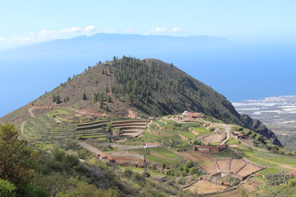 ChallengingPR-TF 70.2 Boca Tauce–Las Fuentes Trail6.7 km · 2.7 hr · 0.6 km awayA steep descent from highland pines to a terraced farming hamlet.
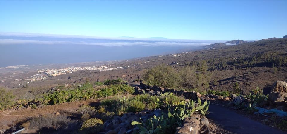 ModeratePR-TF 70.1 Boca Tauce–El Jaral Trail7 km · 3.1 hr · 1.1 km awayA highlands-to-village descent through pines and old footpaths.
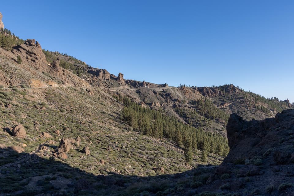 ModeratePNT 41 Barranco de Erques Trail1 km · 45 min · 1.8 km awayA one-way, 145-meter drop from Teide’s highlands to the ravine.
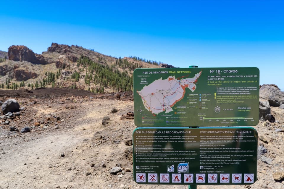 EasyPNT 18 Chavao Trail4.4 km · 1.8 hr · 1.9 km awayAn easy lava traverse to Pico Viejo and the Narices eruptive mouths.
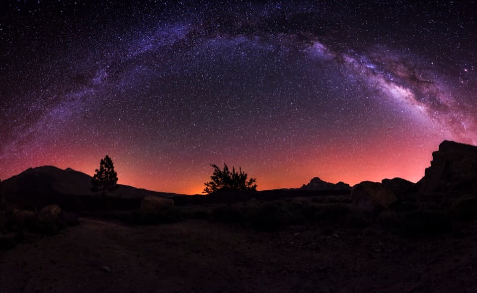 ModerateBoca Tauce to Refugio de Chasogo Trail8.3 km · 3 hr · 1.9 km awayTrade lava paths for pine forest on the way to Chasogo.
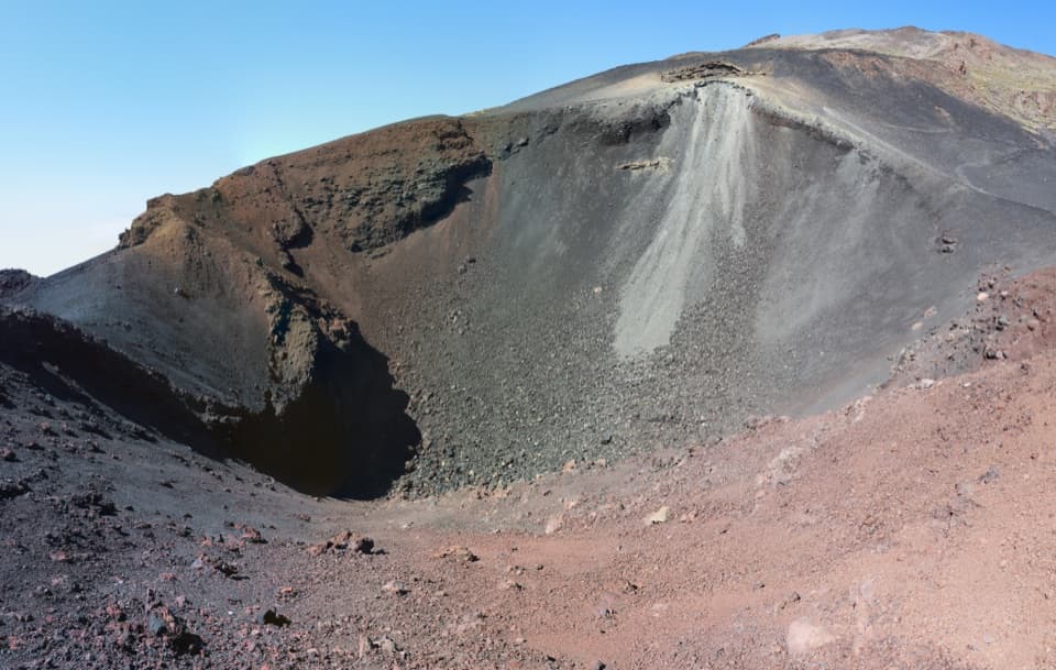 ChallengingPNT 28 Chafarí Trail6.6 km · 3.1 hr · 2 km awayA steep climb to the twin vents of Teide’s 1798 eruption.
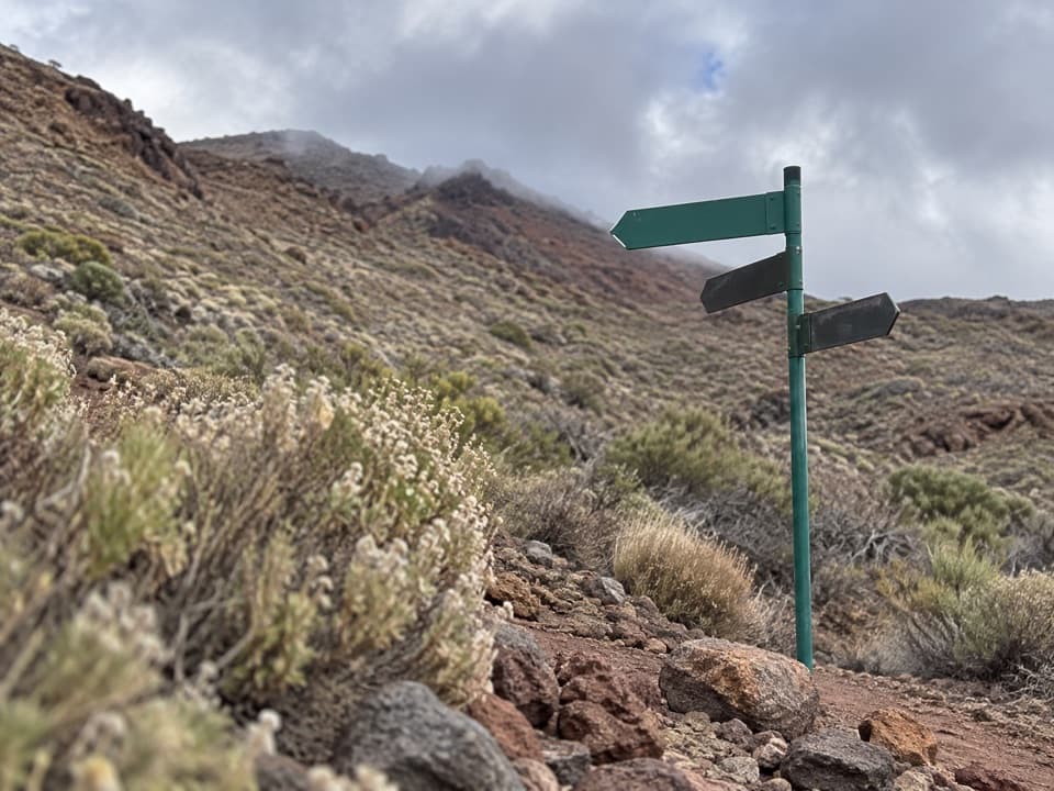 ModeratePNT 38 Cuevas Negras2.2 km · 1.5 hr · 3.4 km awayA high-country connector across Pico Viejo's bare lava slopes.
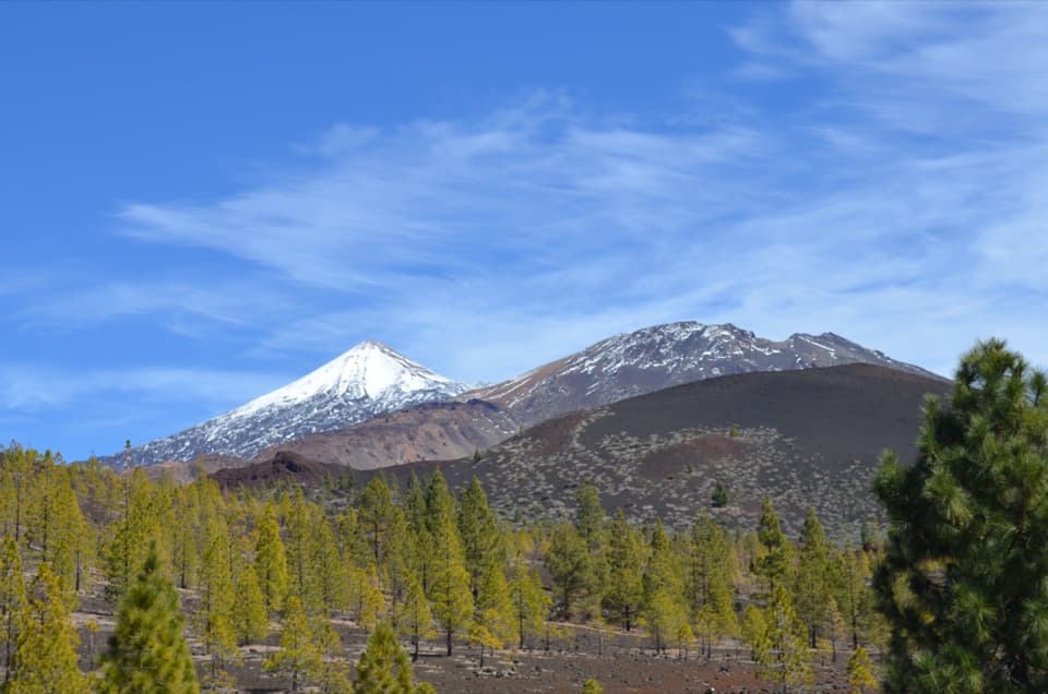 EasyPNT 32 Abeque Trail2.4 km · 1.8 hr · 5.1 km awayA lava path with a western view of Teide and Pico Viejo
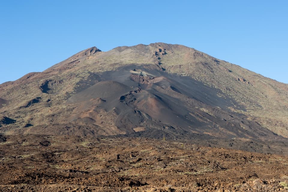 Sight · 1.8 km awayNarices del Teide ViewpointTwo 1798 eruption vents on Pico Viejo, right beside the TF-38.
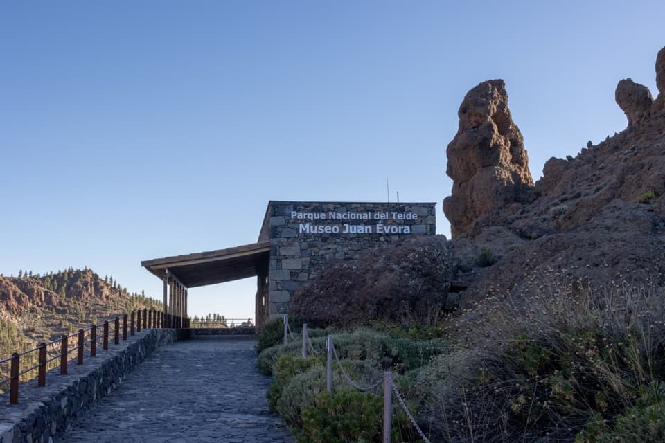 Sight · 1.8 km awayJuan Évora Ethnographic MuseumA restored shepherd’s home with a short, personal story of Las Cañadas.
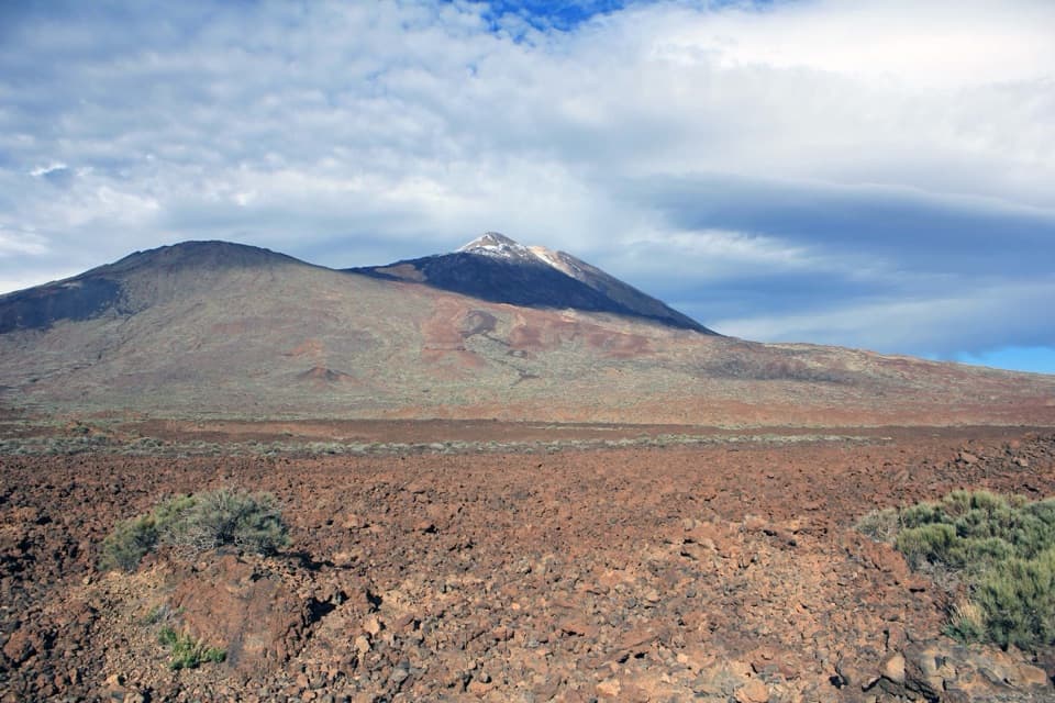 Sight · 2 km awayBoca de Tauce ViewpointA quick stop for the Teide–Pico Viejo panorama and lava plain.
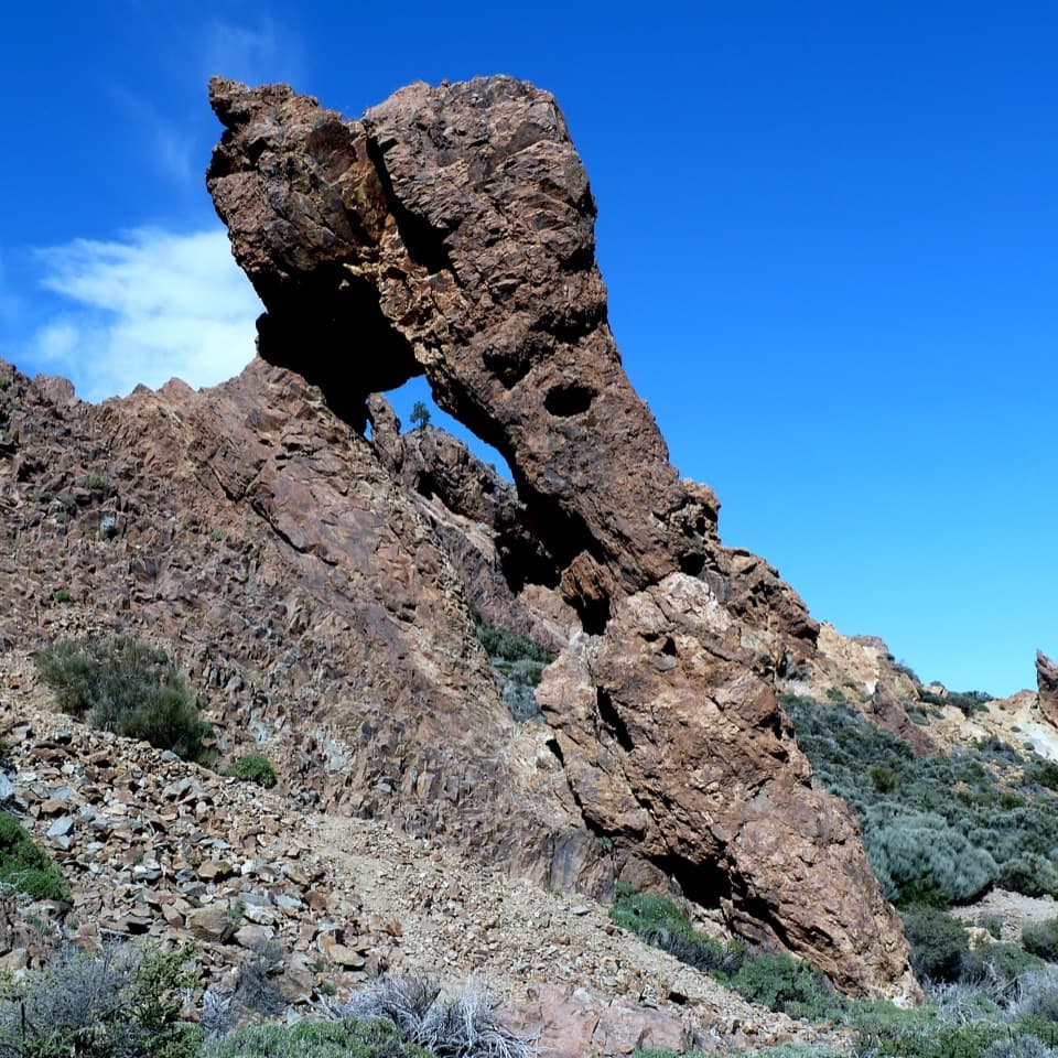 Sight · 4.1 km awayZapatilla de la ReinaA shoe-shaped rock makes this quick roadside stop memorable.
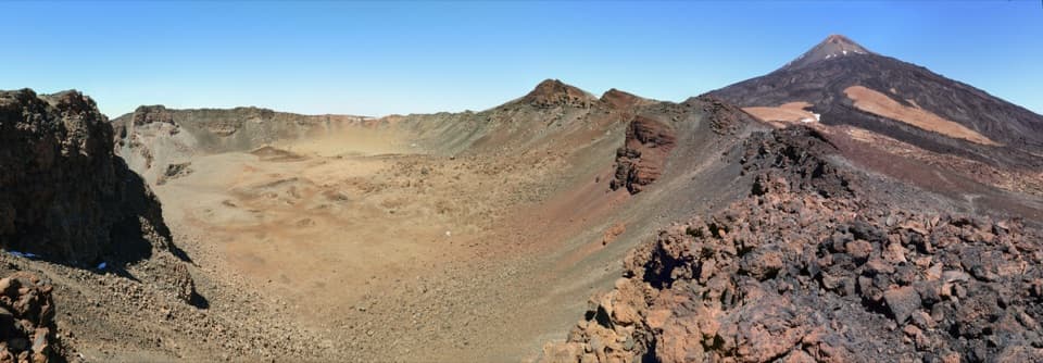 Sight · 5.2 km awayCráter de Pico ViejoLook into an 800-meter crater from its eastern rim.
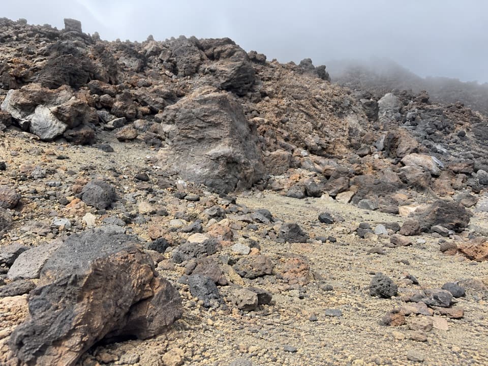 Campground · 5.5 km awayDegollada de Pico Viejo Bivouac AreaA permit-only bivouac between Pico Viejo and Teide.Sight · 5.7 km awaySámara ViewpointA quick stop for Teide's volcanic ridges and cloud-sea sunsets.
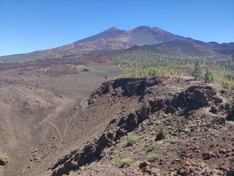 Sight · 6 km awaySámara Crater ViewpointA short climb to Sámara’s crater, lava field, and volcanic skyline.
Parkwolf’s Teide ranking

The audio tour guide for the drive, plus offline maps, trails, and wildlife heatmaps for when the signal drops.





