PNT 18 Chavao Trail in Teide National Park

Teide National Park, TF

PNT 18 Chavao Trail

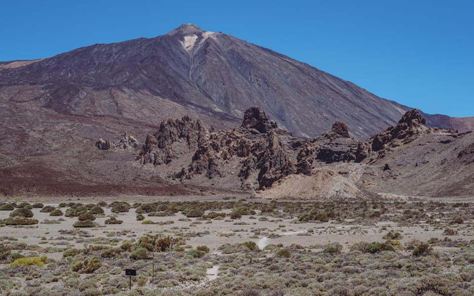
An easy lava traverse to Pico Viejo and the Narices eruptive mouths.

Photo: Wikimedia Commons
Length
4.4km
Time
1.8hr
Elev. change
46m
Difficulty
Easy
  • No dogs
  • High point 2,086 m

Hear the audio tour

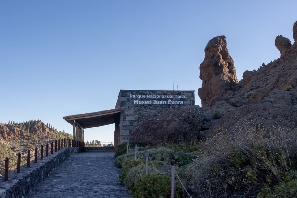
Boca Tauce and Juan Évora Museum

Overview

About PNT 18 Chavao Trail

Why go

  • A low-grade traverse with ropy lava and a strong Pico Viejo view.
  • The route passes historic hut remains and the Juan Évora museum.

Heads up

  • Point-to-point logistics need a pickup or a walk back over the same ground.
  • Parking is very limited at both ends.

Map & elevation

The route

Loading the Teide map
Full map
Elevation2,040–2,086 m
TrailheadJuan Évora Ethnographic Museum parking area, Boca Tauce28.21271, -16.68115
Keep this map with you offline in the Parkwolf app

Plan your hike

Before you go

Parking

Start at the Juan Évora Ethnographic Museum parking area at Boca Tauce, by the TF-21/TF-38 junction. Parking there is very limited; Mirador de las Narices, the other end on TF-38, has a small lot with very few spaces. Arrange a ride between endpoints. There are no services along the route.

Safety

The route stays above 2,000 m, where high-mountain weather changes quickly and sun exposure is strong. There are no services along the route; during flowering season, apiaries may be placed near the path. Pets are prohibited, and the route is classified as inaccessible for people with reduced mobility.

3 active Teide alerts

  • CautionActive wildfire risk and preventive measuresTenerife ON currently lists wildfire risk and preventive wildfire measures; check the live restrictions before visiting Teide National Park.Official details
  • CautionNo smoking in Teide National ParkSmoking is prohibited throughout Teide National Park as a preventive measure against forest fires.Official details
See all 3 alerts
A park ranger sits on a dash-mounted phone, talking, as Parkwolf’s Tour Guide plays “Army Cutworm Moths: A Grizzly Bear Buffet” on Grand Loop Road below Dunraven Pass in Yellowstone
Parkwolf Tour GuideThe highest, rockiest slopes around here are a summer buffet for grizzly bears.

Teide Tour Guide

Your drive to PNT 18 Chavao Trail, narrated.

Parkwolf is a GPS audio tour guide for Teide National Park. As you drive, it chimes in with what’s ahead: hidden gems, upcoming stops, history, geology, and wildlife, right through your car’s speakers.

Recorded for this trailhead

Boca Tauce and Juan Évora Museum
0:00 / 0:27
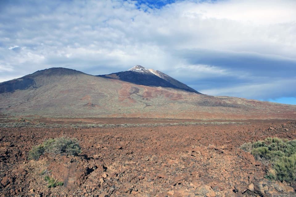
“Boca Tauce is ahead, with a roadside view of Teide and Pico Viejo across the lava plain. It's an easy stop for the panorama, but the nearby Juan Évora Museum adds a more personal story.”

Plays as you drive up to this trailhead in the Parkwolf Teide Tour Guide.

More stories near here in the app

  • Why the Clouds Stay Below
  • How Lava Makes a Tunnel
  • Lava That Looks Like Rope
  • Ice Carried Down the Mountain
  • 39 audio storiesacross Teide’s roads, triggered by GPS as you drive
  • Wildlife heatmapsfor Short-finned Pilot Whale, Tenerife Lizard, West Canary Skink, and 10 more
  • Works offlinemaps, 62 trails, 49 places, and audio download before you lose signal
  • CarPlay readysimple controls built for the drive
★★★★★
“Fantastic app with many points of information… It’s great to just turn on while you’re driving and it gives you an audio tour of the national Park. We love it!!!!”
JMJamesApp Store review
Download Parkwolf on the App StoreGet Parkwolf on Google Play

4.7 from 8,600+ ratings

Trail guide

Hiking PNT 18 Chavao Trail

An easy crossing, not a loopPNT 18 Chavao is a 4.42 km (2.

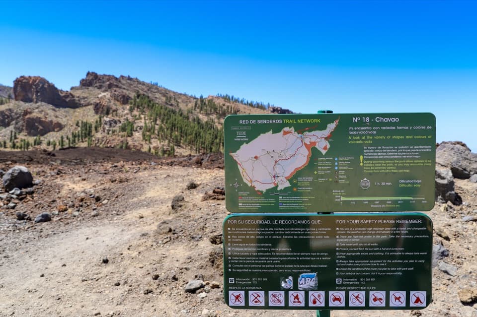
PNT 18 Chavao is a 4.42 km (2.75 mi) one-way walk between Boca Tauce and the Mirador de las Narices del Teide, across the high volcanic plain. It stays above 2,000 m, is mostly level and is rated low difficulty; allow about 1 hour 45 minutes one way. Go for the lava and the open mountain setting rather than a big climb.

Walk it in either direction, but sort out a pickup before you start. This is a point-to-point route, not a loop; walking back over the same line brings the outing to about 8.8 km.

Across the plateauDark-green PNT 18 markers guide the traverse past Roque del Cedro, with La Cañada del Cedro…

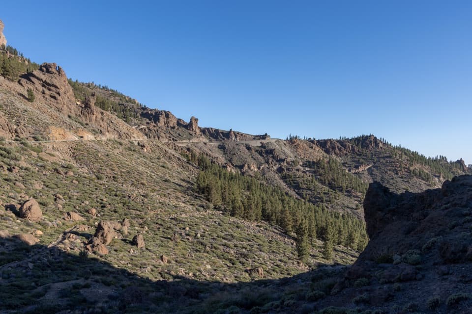
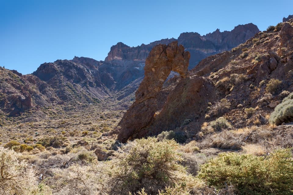
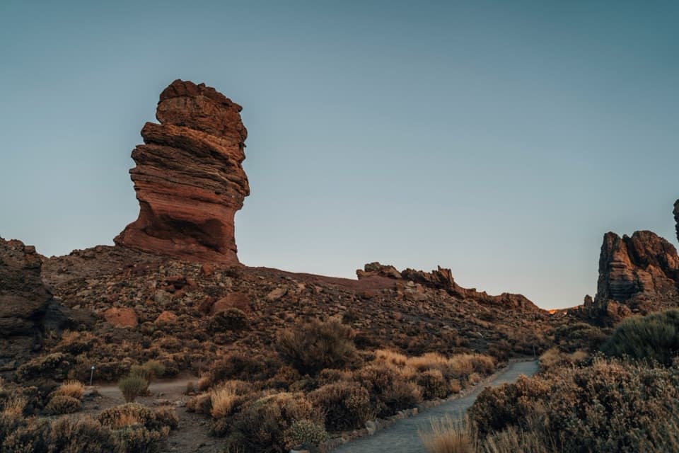
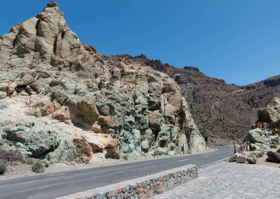
Dark-green PNT 18 markers guide the traverse past Roque del Cedro, with La Cañada del Cedro alongside. Ropy lava and pillow-lava forms are among the route’s most interesting details. The walk is mostly flat, but it is on natural ground: one section is a gravel track, and loose or uneven patches are possible.

The view at Las NaricesThe route finishes at Mirador de las Narices del Teide.

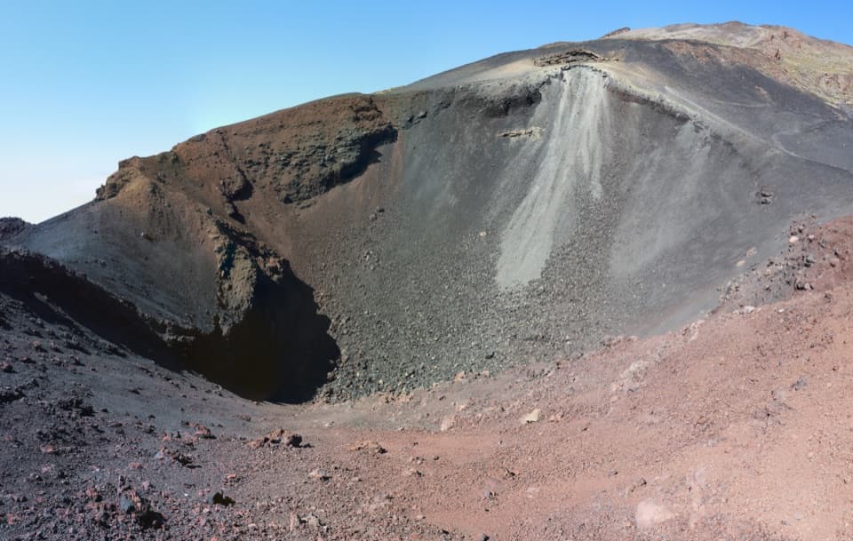
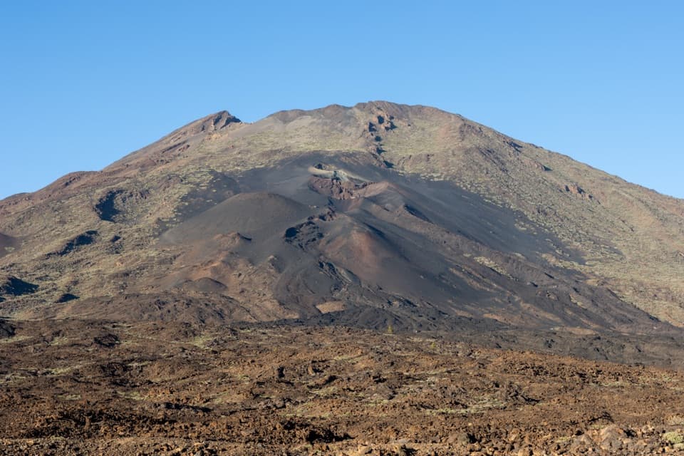
The route finishes at Mirador de las Narices del Teide. Look toward Pico Viejo and the eruptive mouths that gave Las Narices its name. Frame Pico Viejo with the volcanic mouths if you want a photo that shows how the features fit together.

Lava, plants and peopleThe high-country flora includes retama (Teide white broom), alhelí del Teide and codeso.

The high-country flora includes retama (Teide white broom), alhelí del Teide and codeso. The walk also passes remains of huts used by Spanish Civil War prisoners who were housed here while building the road and planting pine near the summit.

At Boca Tauce, Juan Évora’s restored home is a small museum about herding life in Las Cañadas. Évora was the area’s last inhabitant, so the exhibit adds a human story to a landscape that can otherwise feel entirely volcanic.

Make the logistics workStart at the Juan Évora Ethnographic Museum parking area at Boca Tauce and finish at Las…

Start at the Juan Évora Ethnographic Museum parking area at Boca Tauce and finish at Las Narices on TF-38, or do the route in reverse. Parking is very limited at the museum and the viewpoint has only a small lot. There are no services along the route, so bring the water you need and arrange transport between the ends. No reservation is required.

This is high mountain country, and weather can change quickly even on an easy-grade walk. During the flowering season, apiaries may be placed near the trail; keep clear of marked hives. The route is classified as inaccessible for people with reduced mobility, and pets are not allowed.

Wildlife

Wildlife in Teide

All Teide wildlife maps

Sighting maps show where each species has been reported across Teide. Wildlife moves, so no sighting is guaranteed.

Keep exploring

Near PNT 18 Chavao Trail

See it all on the map

Trails that start nearby

Places near the trailhead

Parkwolf’s Teide ranking

Top-rated trails in Teide

All 62 trails
  1. 1Telesforo Bravo Trail (PNT 10)Challenging · 1.4 km
  2. 2PNT 03 Roques de García LoopModerate · 3.5 km
  3. 3Alto de Guajara Summit LoopChallenging · 11.1 km
  4. 4Mirador de Pico Viejo Trail (PNT 12)Moderate · 1.5 km
  5. 5PNT 07 Montaña Blanca–La Rambleta TrailChallenging · 8.3 km
  6. 6Sámara Loop TrailModerate · 4.6 km

Take Parkwolf to Teide.

The audio tour guide for the drive, plus offline maps, trails, and wildlife heatmaps for when the signal drops.

4.7 from 8,600+ ratings

Download Parkwolf on the App StoreGet Parkwolf on Google Play