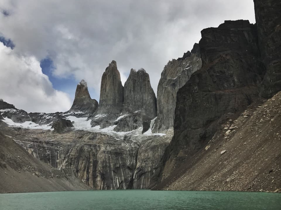
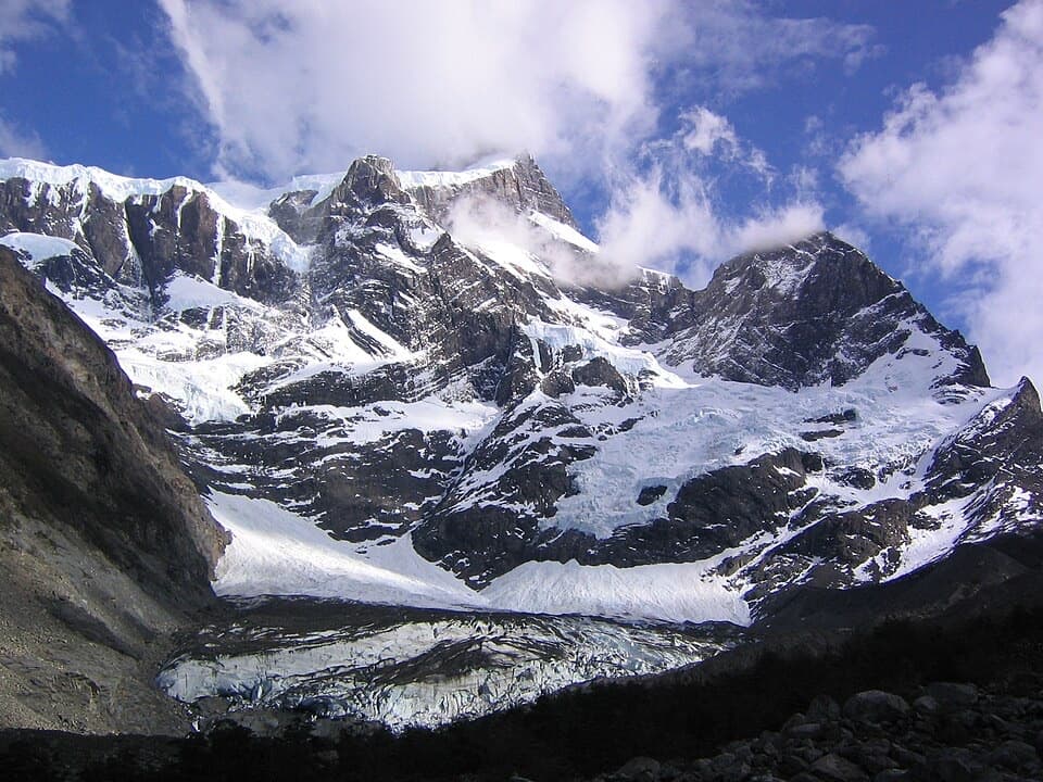
Parking
Use the parking area beside Guardería Pingo and Cafetería Río Pingo at the end of Y-150; walk to the ranger station, where the trail starts.
#9 of 35 trails in Torres del Paine
Torres del Paine National Park, MA
A steep climb earns rare views of Grey and Pingo glaciers.
Overview
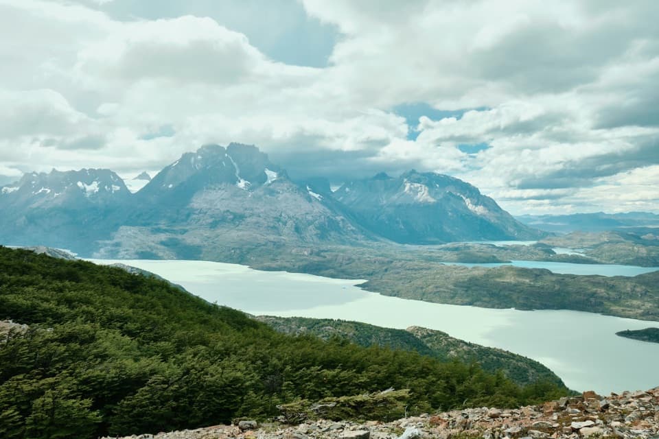
Mirador Ferrier is a 3.6-mile (5.8-km) out-and-back from Guardería Pingo/Grey ranger station to a broad rock lookout above Lago Grey. The 3.6-mile figure includes the return, though the map follows the 1.8-mile uphill corridor once. This is the public lookout trail, not the technical climb toward Cerro Ferrier’s summit. Choose it for a wide view over Lago Grey, Grey Glacier and the Paine massif, with Pingo glacier country opening beyond. It is short on the map but hard on the legs: the lookout is about 575 m above the ranger station. Allow 3–4 hours, usually around 3.5 at a steady pace with stops. If you want a shorter outing, the halfway lookout over Lago Grey is a sensible place to turn back; you miss the high rock panorama but still get a good view.
 Parkwolf’s verdictIs this the climb for you?
Map & elevation
Plan your hike

The highest, rockiest slopes around here are a summer buffet for grizzly bears.
Torres del Paine Tour Guide
Parkwolf is a GPS audio tour guide for Torres del Paine National Park. As you drive, it chimes in with what’s ahead: hidden gems, upcoming stops, history, geology, and wildlife, right through your car’s speakers.
See the Torres del Paine audio tourRecorded for this trailhead
Playa Grey: Ice Across the Lake“You're coming up on the Pingo starting area for Playa Grey, where a walk through forest leads to an open shore. Choose this for the lake and drifting ice, with Grey Glacier far away across the water.”
Plays as you drive up to this trailhead in the Parkwolf Torres del Paine Tour Guide.
More stories near here in the app
“Fantastic app with many points of information… It’s great to just turn on while you’re driving and it gives you an audio tour of the national Park. We love it!!!!”


Trail guide
The first kilometre is mostly level through dense vegetation, so don’t judge the whole hike by the easy start. As the ground rises, the forest thins enough for views to open behind you. The path steepens and narrows in places; a midway lookout gives you a first look over Lago Grey. Past it, the trail returns to thicker forest and the hardest stretch: roots, muddy patches and a steady climb. Near the top, it leaves the trees and turns right toward the exposed rock. There’s no technical summit scramble on this visitor route, but the final approach still asks for careful footing. On the way back, the same steep, rooty section becomes a descent, so take it slowly where the trail is slick.
The lookout is a broad, mostly level patch of bare rock with a big panorama. Lago Grey and Grey Glacier take the foreground, while Paine Grande and Los Cuernos rise beyond; look around for the more remote Pingo Lake and Pingo Glacier as well. Icebergs can drift on Lago Grey’s pale water. The top has little shelter, so strong wind can make it uncomfortable to linger. For a photo, keep some rock or scrub in the foreground with the lake and glacier behind; a tight crop flattens the distance and hides how high the viewpoint sits above the surrounding terrain.
The Paine massif is its own mountain system, separate from the Andes. Its higher sedimentary layers sit above granite, and glacial advances over millions of years carved the valleys and lakes spread out below you. Grey Glacier flows from the Southern Patagonian Ice Field into Lago Grey, where chunks of ice can break off and float. From the lookout, you can trace the glacier’s path from the icefield toward the lake, then follow the shoreline toward the distant peaks.
Park by Guardería Pingo and Cafetería Río Pingo at the end of Y-150. Trail directions call for checking in with the CONAF ranger station before setting out and signing back in on your return; confirm the current access and cutoff with staff. A café is beside the starting area, but check locally before relying on it for food. Pets aren’t allowed in the national park, including on this trail.
Wildlife
 113 sightingsPumaMost seen around 7 PMSighting map
 146 sightingsAndean CondorMost seen around noonSighting map
 381 sightingsGuanacoMost seen around 7 AMSighting map
 53 sightingsHuemulMost seen around 7 AMSighting map
 36 sightingsLesser RheaMost seen around 6 PMSighting map
 11 sightingsWild HorseMost seen around 7 AMSighting map
Sighting maps show where each species has been reported across Torres del Paine. Wildlife moves, so no sighting is guaranteed.
Keep exploring
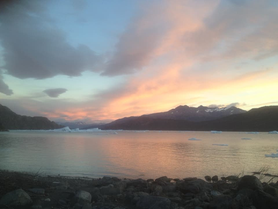 EasyPlaya Grey and Mirador Isla de los Hielos Trail5.3 km · 2 hr · At the trailheadLoose pebbles, drifting ice and a broad view across Grey Lake.
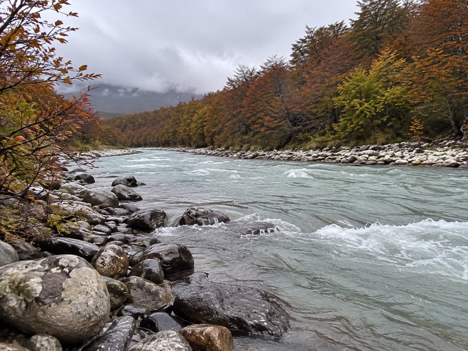 ChallengingCascada Pingo Trail22 km · 8 hr · At the trailheadA long river valley walk through lenga forest toward a waterfall.
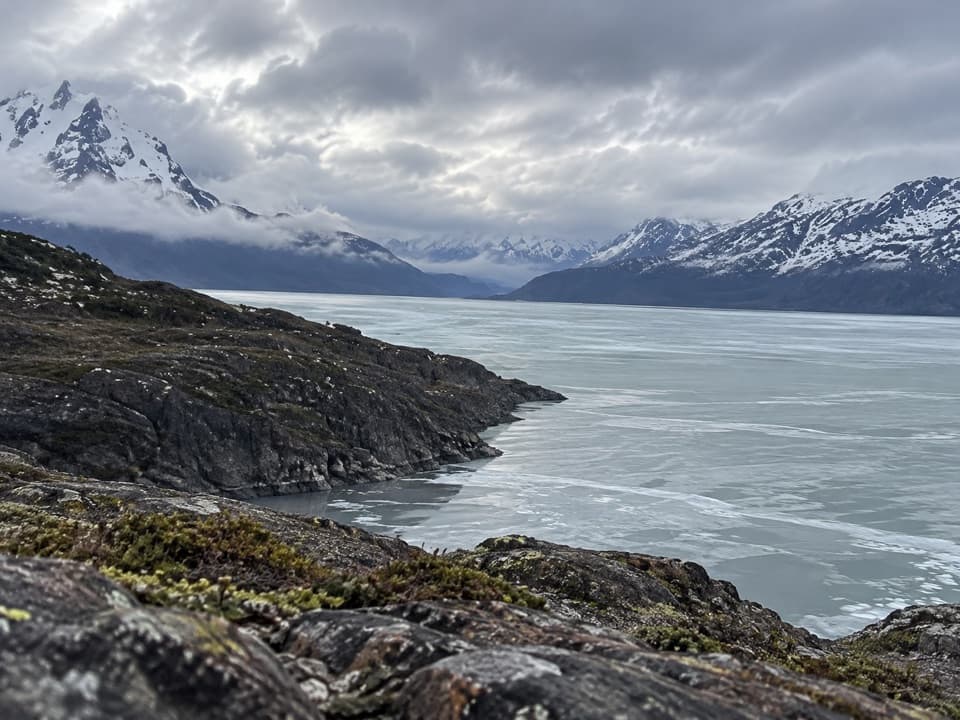 ChallengingMirador Zapata Trail29.3 km · 11.5 hr · At the trailheadA long walk through Pingo Valley to two glacier views
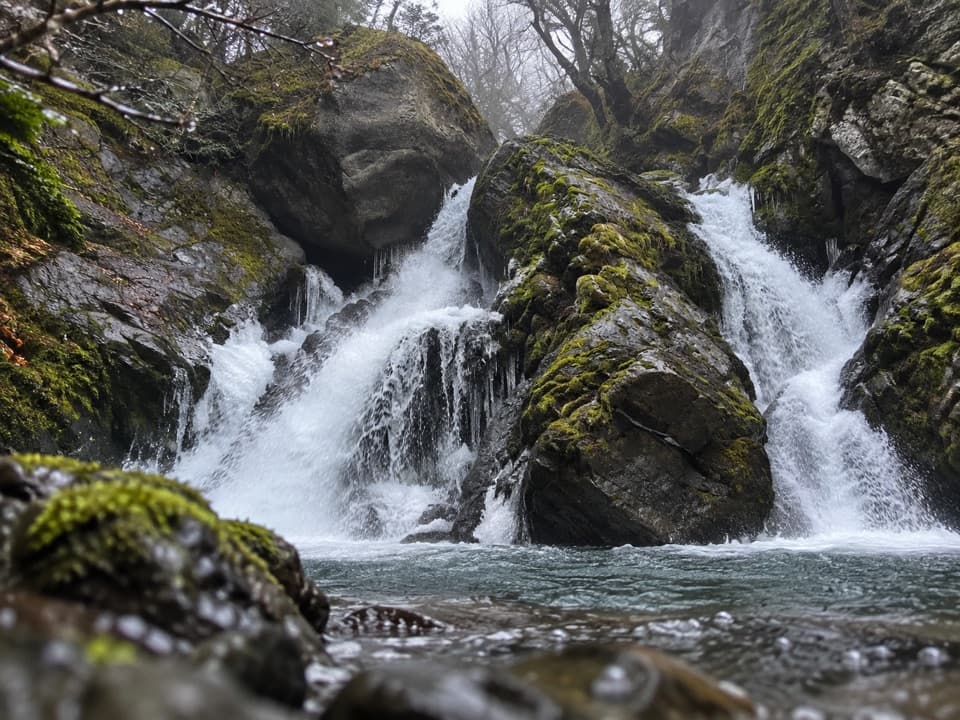 ModerateChorrillo de los Salmones8.9 km · 3.5 hr · At the trailheadFollow the Pingo River to a forest waterfall lookout and return.
 ModerateMirador Grey Trail from Paine Grande11.9 km · 4.5 hr · 6.3 km awayA rocky climb earns a distant Grey Glacier view
 ModeratePaine Grande to Administration Trail17.9 km · 5 hr · 6.3 km awayA long one-way mountain walk from Paine Grande to park Administration.
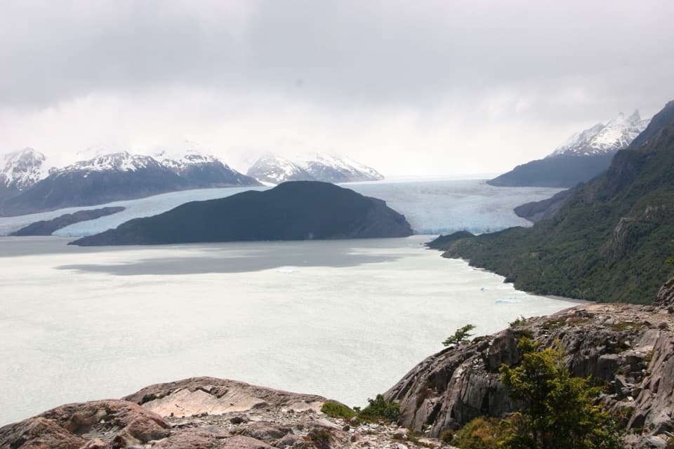 ModeratePaine Grande to Refugio Grey Trail11 km · 3.8 hr · 6.3 km awayAn 11-kilometer W-route crossing with Grey Glacier in view.
 EasyMirador Lago Skottsberg5 km · 1.5 hr · 6.4 km awayA short lake walk ends with the granite towers of Los Cuernos.
 Restaurant · 0.1 km awayRío Pingo Restaurant & MinimarketA handy coffee, meal and resupply stop in the Grey sector.
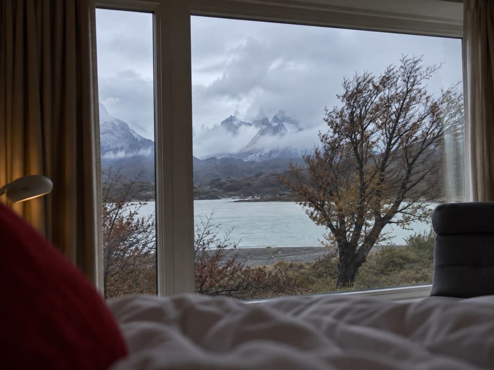 Lodging · 1.1 km awayHotel Lago GreyA remote lakeside hotel and check-in point for Grey Glacier boats.
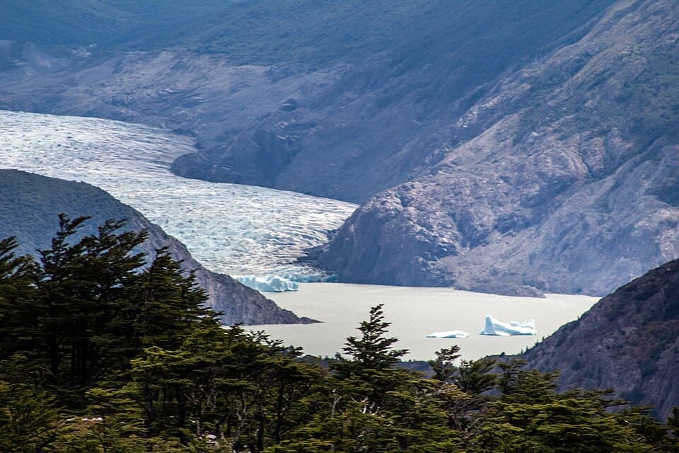 Sight · 1.7 km awayMirador FerrierA hard climb earns a wide view over Grey Glacier and Paine.Beach · 1.8 km awayPlaya GreyWalk the south shore for icebergs and a far-off Grey Glacier.
 Sight · 4 km awayMirador PehoéA lakeshore walk and climb to Pehoé’s western mountain view.
 Lodging · 6.3 km awayPaine Grande Refuge and CampingA lakefront refuge with the W Trek's western routes at its door.
 Visitor center · 6.5 km awayCentro de Visitantes Paine GrandeRanger information and park history at a remote trekking base
 Sight · 8.8 km awaySköttsberg Lake ViewpointA lakeside pause on the Paine Grande–Italiano hiking route.
Parkwolf’s Torres del Paine ranking
The audio tour guide for the drive, plus offline maps, trails, and wildlife heatmaps for when the signal drops.