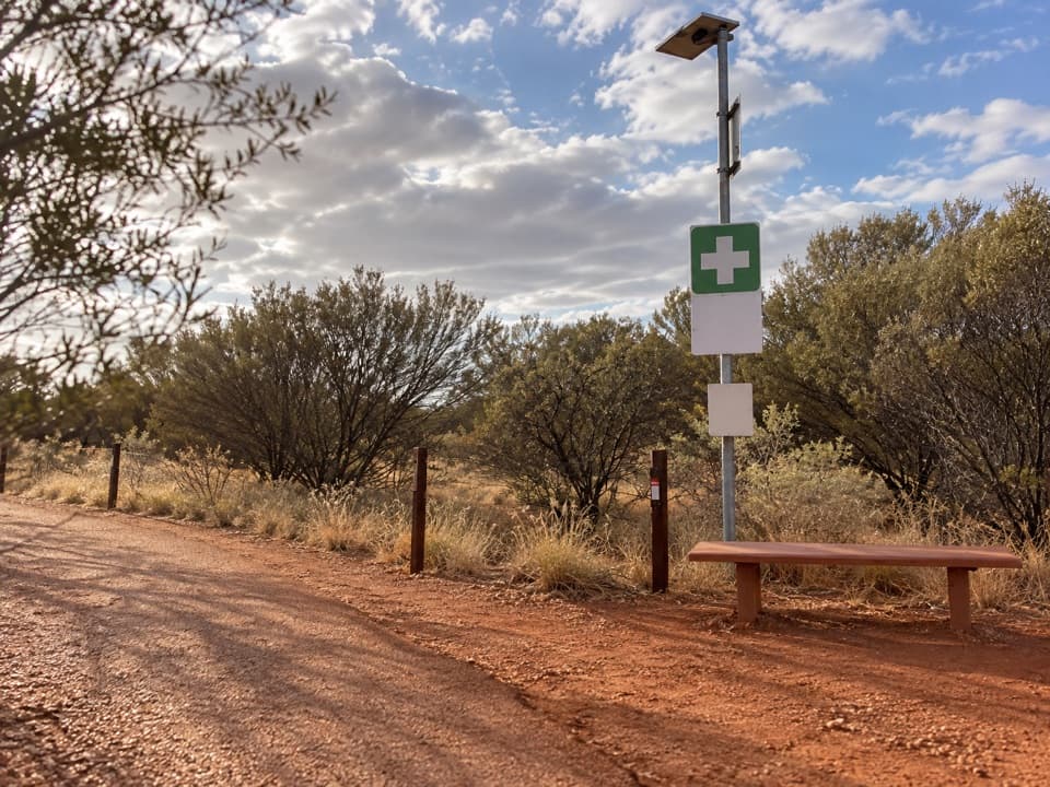
Parking
Use the Talinguṟu Nyakunytjaku visitor car park and walking-track entrance. The park map shows car and bus parking at the shared entrance; toilets, drinking water and a picnic area are at the site. It is about a 35-minute drive from Yulara.

#9 of 15 trails in Uluru-Kata Tjuta
Uluru-Kata Tjuta National Park, NT
A short, accessible loop into Aṉangu women’s work and bush foods.
Overview
Map & elevation
Plan your hike

The highest, rockiest slopes around here are a summer buffet for grizzly bears.
Uluru-Kata Tjuta Tour Guide
Parkwolf is a GPS audio tour guide for Uluru-Kata Tjuta National Park. As you drive, it chimes in with what’s ahead: hidden gems, upcoming stops, history, geology, and wildlife, right through your car’s speakers.
See the Uluru-Kata Tjuta audio tourRecorded for this trailhead
Talinguṟu Nyakunytjaku: Beyond the Platforms“You're nearing Talinguṟu Nyakunytjaku, the main sunrise viewing area for Uluṟu. Look beyond the busiest platforms: the lower track's second shelter gives you a clear view of both Uluṟu and Kata Tjuṯa.”
Plays as you drive up to this trailhead in the Parkwolf Uluru-Kata Tjuta Tour Guide.
More stories near here in the app
“Fantastic app with many points of information… It’s great to just turn on while you’re driving and it gives you an audio tour of the national Park. We love it!!!!”


Trail guide
Minymaku Walk is a 1 km loop at Talinguṟu Nyakunytjaku, circling Minymaku Platform before returning to the shared walking-track entrance. Parks Australia grades it 1 and describes it as wheelchair accessible; the visitor map calls all the tracks all-access. Allow about 30 minutes, or closer to 30–45 if you stop to read and look around. Men and women are welcome on both Minymaku and Watiku walks.
The interpretive signs focus on women’s work, including how women process bush foods, and some games played by young children. That makes this a good short stop if you want context for Aṉangu knowledge as well as a view. It’s a compact interpretive walk, not a long bush hike.
The platform is the loop’s main view stop. Talinguṟu Nyakunytjaku gives a different angle on Uluṟu and Kata Tjuṯa, and the park map marks a winter sunset view from Minymaku Platform. The wider viewing area opened in late 2009; its name means “place to look from the sand dune.”
Start at the Talinguṟu Nyakunytjaku visitor car park walking-track entrance, about a 35-minute drive from Yulara. The shared site has car and bus parking, toilets, drinking water and a picnic area. A park pass is required to enter the national park, and ordinary pets aren’t allowed; assistance dogs are the exception. If you want a little more walking, Watiku Walk is a separate 1.5 km loop from the same site, not an extension of Minymaku.
Wildlife
 32 sightingsDromedary CamelMost seen around 6 PMSighting map
 14 sightingsBlack-breasted KiteMost seen around 10 AMSighting map
 27 sightingsBrown FalconMost seen around 7 AMSighting map
 11 sightingsWestern Brown SnakeMost seen around 9 AMSighting map
 32 sightingsMain's FrogMost seen around 7 PMSighting map
 17 sightingsRed-backed KingfisherMost seen around 7 AMSighting map
Sighting maps show where each species has been reported across Uluru-Kata Tjuta. Wildlife moves, so no sighting is guaranteed.
Keep exploring
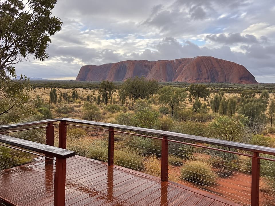 EasyWatiku Walk – Men’s Walk1.5 km · 45 min · At the trailheadTwo viewing platforms and Aṉangu men’s knowledge on an easy loop.
 EasyKuniya Walk & Muṯitjulu Waterhole1 km · 38 min · 3.3 km awayA short walk to a shady waterhole beneath Uluṟu’s red walls.
 EasyLiṟu Walk4 km · 1.5 hr · 4.6 km awayA sandy clearing opens to a sheltered view of Uluṟu.
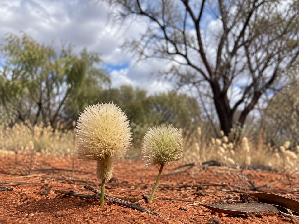 ModerateNorth-east Face Walk4.4 km · 1.8 hr · 5 km awayA 4.4 km one-way walk from Kitchen Cave to Kuniya Piti.
 ModerateUluṟu Base Walk10.6 km · 3.5 hr · 5 km awayA full 10.6 km circuit for close and distant views of Uluṟu.
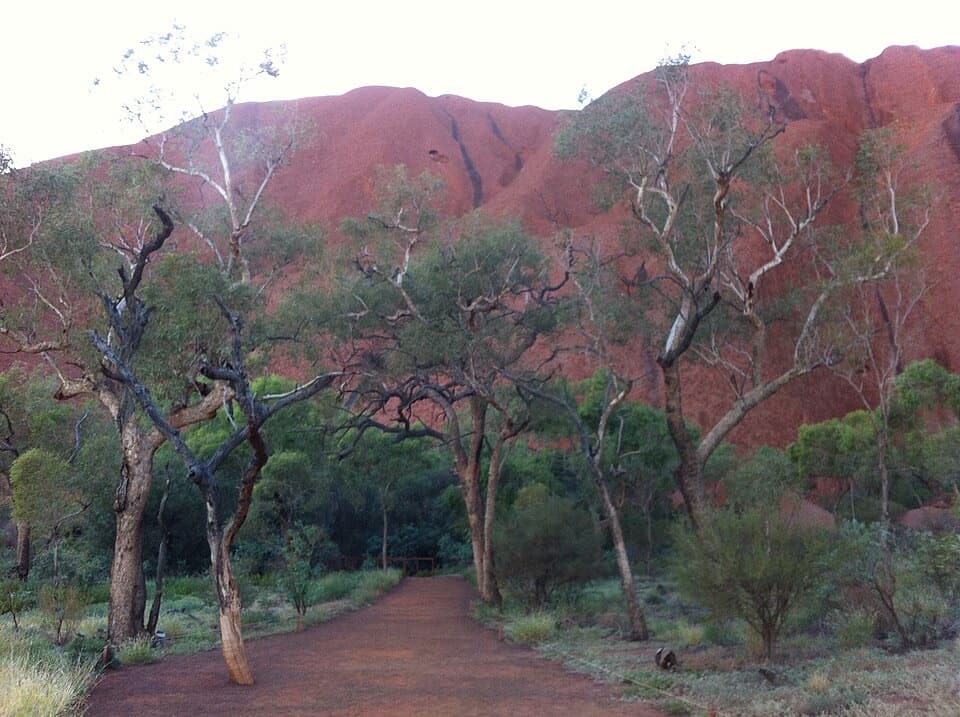 EasyMala Walk2 km · 1.5 hr · 5 km awayA short Uluṟu walk to caves, rock art and Kaṉtju Gorge.
 ModerateLungkaṯa Walk4 km · 1.5 hr · 5.1 km awayA close 4 km return walk beneath Uluṟu’s weathered caves
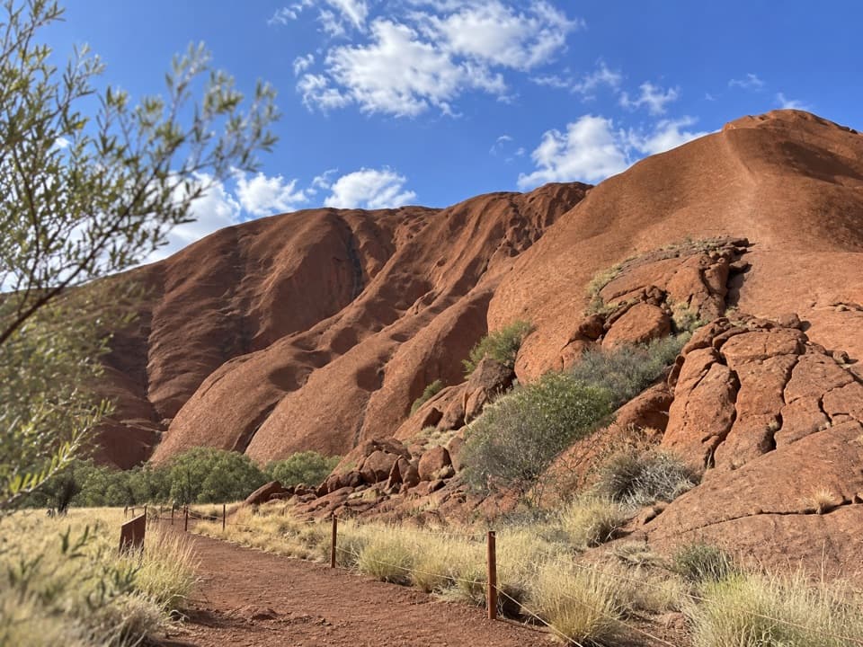 EasyPunu Walk0.6 km · 30 min · 5.1 km awayA quick plant walk with Uluṟu in view.Sight · 0.3 km awayTalinguṟu NyakunytjakuUluṟu’s main sunrise platforms, with two worthwhile walks beyond the view.
 Sight · 3.4 km awayKuḻpi MuṯitjuluAn Anangu family cave where rock art carries generations of knowledge.
 Sight · 3.6 km awayMuṯitjulu WaterholeAfter rain, a waterfall spills into this shaded pool.
 Food · 4.6 km awayIninti Café & SouvenirsCoffee and pies, with a view of Uluṟu from the upstairs lounge.
 Visitor center · 4.6 km awayUluṟu-Kata Tjuṯa Cultural CentreStart with two hours of Aṉangu stories, art and park context.
 Sight · 4.6 km awayMaṟuku Arts GalleryBrowse art from twenty-plus desert communities.
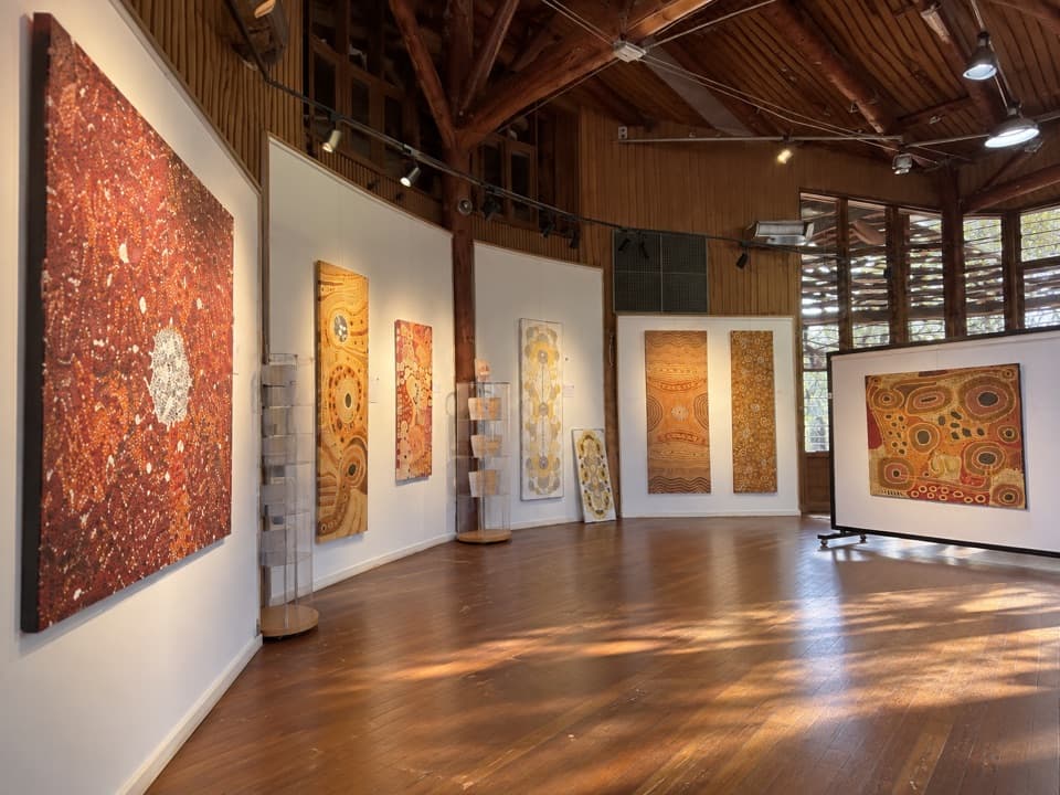 Sight · 4.6 km awayWalkatjara ArtA working Aṉangu gallery with stories behind the art
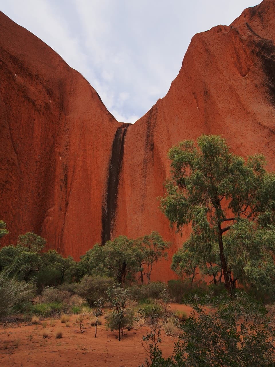 Sight · 4.7 km awayKaṉtju GorgeA waterhole framed by Uluṟu’s sheer gorge walls.
Parkwolf’s Uluru-Kata Tjuta ranking

The audio tour guide for the drive, plus offline maps, trails, and wildlife heatmaps for when the signal drops.