Overview
About Kuḻpi Muṯitjulu
Why stop
- Its paintings connect a specific family place with Anangu teaching.
Heads up
- Cave access needs checking separately from access to Kuniya Walk.
Map
Where it is

The highest, rockiest slopes around here are a summer buffet for grizzly bears.
Uluru-Kata Tjuta Tour Guide
Your drive to Kuḻpi Muṯitjulu, narrated.
Parkwolf is a GPS audio tour guide for Uluru-Kata Tjuta National Park. As you drive, it chimes in with what’s ahead: hidden gems, upcoming stops, history, geology, and wildlife, right through your car’s speakers.
See the Uluru-Kata Tjuta audio tourRecorded for this place
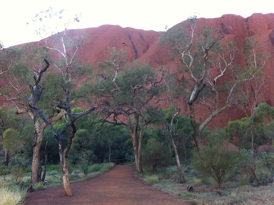
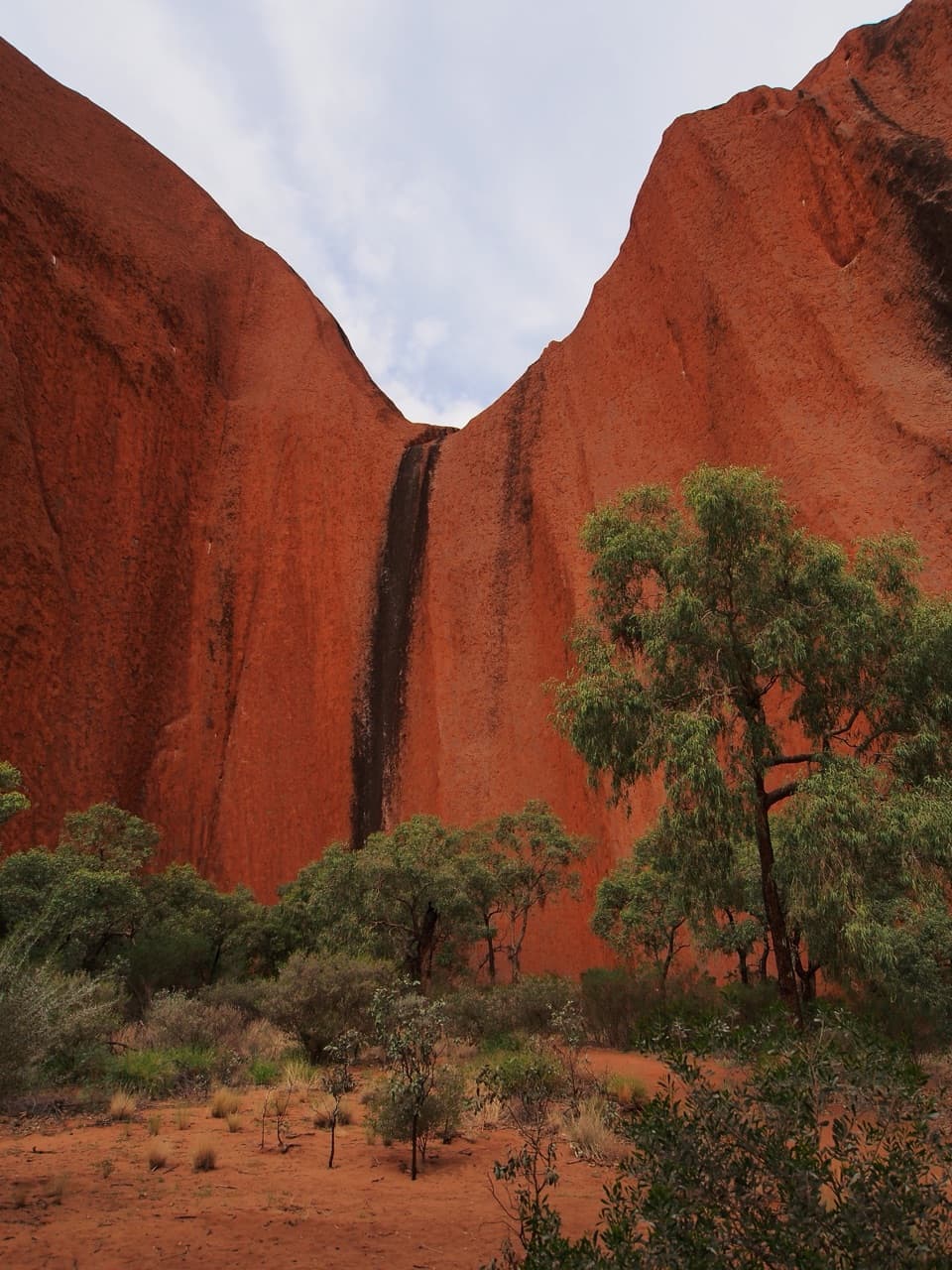
Kuniya Walk: Muṯitjulu Waterhole“You're nearing Kuniya carpark, the start of the short walk to Muṯitjulu Waterhole. I'd stop here for a green, shaded pocket beneath Uluṟu's walls, with river red gums around one of the rock's few permanent water sources.”
Plays as you drive up to Kuḻpi Muṯitjulu in the Parkwolf Uluru-Kata Tjuta Tour Guide.
More stories near here in the app
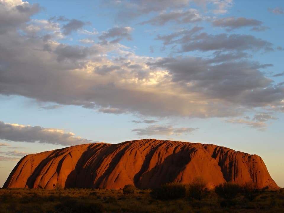
- Uluṟu: Mala Walk and Kaṉtju Gorge
- Flowers with a Sweet Supply
- The Bird That Looks Like a Branch
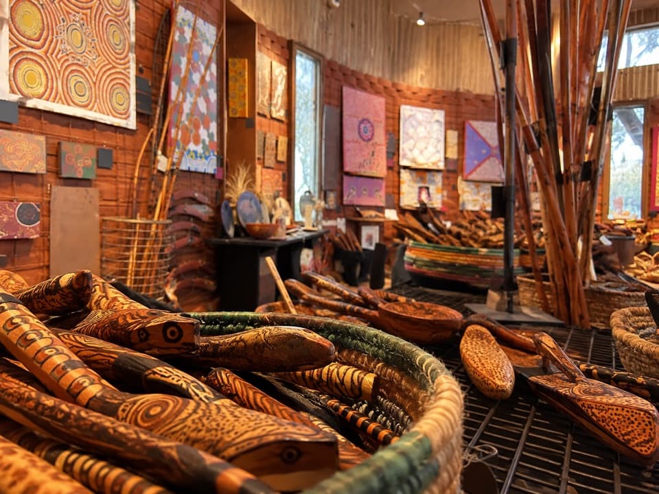
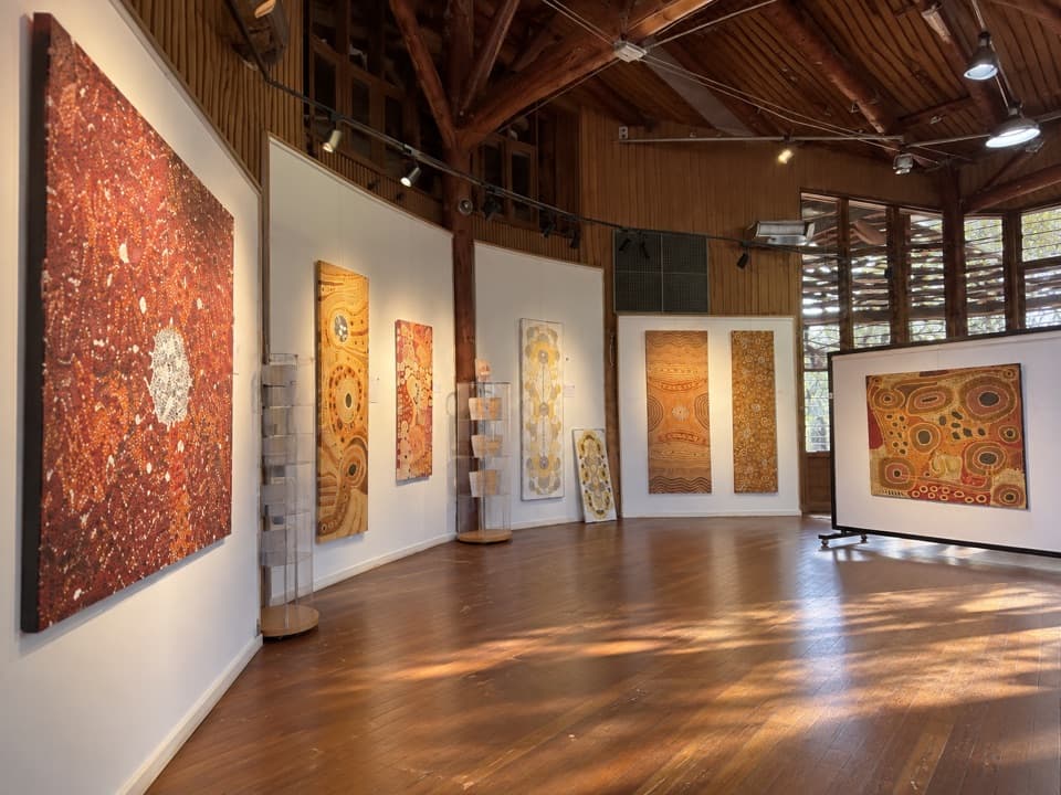
- Cultural Centre: Stories, Art and a Café
- 40 audio storiesacross Uluru-Kata Tjuta’s roads, triggered by GPS as you drive
- Wildlife heatmapsfor Dromedary Camel, Black-breasted Kite, Brown Falcon, and 13 more
- Works offlinemaps, 15 trails, 28 places, and audio download before you lose signal
- CarPlay readysimple controls built for the drive
“Fantastic app with many points of information… It’s great to just turn on while you’re driving and it gives you an audio tour of the national Park. We love it!!!!”


Guide
More about Kuḻpi Muṯitjulu
A family place on the Kuniya WalkKuḻpi Muṯitjulu is a rock-art cave along the Kuniya Walk, near but distinct from Muṯitjulu…
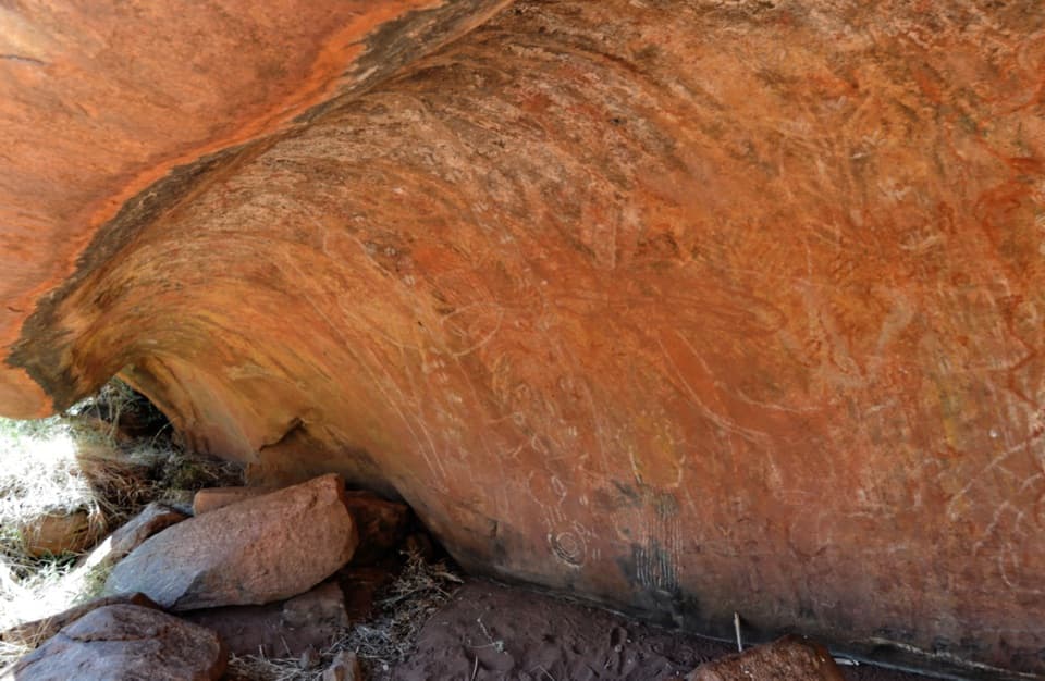
Kuḻpi Muṯitjulu is a rock-art cave along the Kuniya Walk, near but distinct from Muṯitjulu Waterhole. Anangu families camped here across generations, sharing food, telling stories, teaching children and painting on the rock. The cave’s access is separate from access to the rest of the walk, so check its current status before making it your reason to stop.
What the marks can meanConcentric circles appear among the paintings.
Concentric circles appear among the paintings. They can represent a waterhole, campsite or significant place; linked circles may suggest a journey. These are possible meanings rather than a fixed symbol key, so notice the patterns without treating any one reading as certain.
A teaching traditionAcross Uluru, rock-art sites have helped pass knowledge on for tens of thousands of years.
Across Uluru, rock-art sites have helped pass knowledge on for tens of thousands of years. Individual paintings are difficult to date. Traditional pigments used natural minerals and ash mixed with water or animal fat, leaving marks that are part of a much longer teaching tradition.
Kuniya and LiruThe surrounding walk is tied to Kuniya, the woma python woman, and Liru, the poisonous brown…
The surrounding walk is tied to Kuniya, the woma python woman, and Liru, the poisonous brown snake man. Their encounter belongs to this part of Uluru, and caves protected by Kuniya remain in use by Anangu. That connection makes this a living cultural place as well as a shelter with old paintings.
Plan the approachKuniya Walk starts at Kuniya carpark; the full route to Muṯitjulu Waterhole is listed as 1 km…
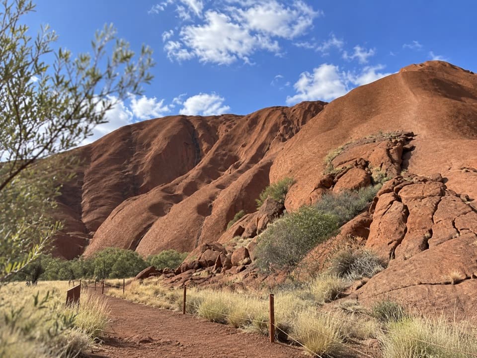
Kuniya Walk starts at Kuniya carpark; the full route to Muṯitjulu Waterhole is listed as 1 km return, Grade 2 and 30–45 minutes. Those figures describe the whole walk, not a separate cave spur. The cave is marked wheelchair accessible, but the published details do not explain the surface or exact approach. Confirm cave access separately before setting out.
Wildlife
Wildlife in Uluru-Kata Tjuta
 32 sightingsDromedary CamelMost seen around 6 PMSighting map
 14 sightingsBlack-breasted KiteMost seen around 10 AMSighting map
 27 sightingsBrown FalconMost seen around 7 AMSighting map
 11 sightingsWestern Brown SnakeMost seen around 9 AMSighting map
 32 sightingsMain's FrogMost seen around 7 PMSighting map
 17 sightingsRed-backed KingfisherMost seen around 7 AMSighting map
Sighting maps show where each species has been reported across Uluru-Kata Tjuta. Wildlife moves, so no sighting is guaranteed.