Parking
The upper access has a small roadside pull-off on Centerline Road. The lower access is on North Shore Road just south of the trail. Leave a car at one end and arrange a pickup, or walk back up the trail.
Virgin Islands National Park, VI
A steep one-way drop to Caneel Bay’s old water basin
Overview
Map & elevation
Plan your hike

The highest, rockiest slopes around here are a summer buffet for grizzly bears.
Virgin Islands Tour Guide
Parkwolf is a GPS audio tour guide for Virgin Islands National Park. As you drive, it chimes in with what’s ahead: hidden gems, upcoming stops, history, geology, and wildlife, right through your car’s speakers.
Recorded for this trailhead
Water Catchment Trail and the Old Basin“The upper Water Catchment trailhead on Centerline Road is ahead.”
Plays as you drive up to this trailhead in the Parkwolf Virgin Islands Tour Guide.
More stories near here in the app
“Fantastic app with many points of information… It’s great to just turn on while you’re driving and it gives you an audio tour of the national Park. We love it!!!!”


Trail guide
The Water Catchment Trail is a 0.7-mile one-way route from the upper Centerline Road access down to North Shore Road. It drops about 440 feet through wooded hillside and passes the old Caneel Bay water basin. Allow roughly 30 minutes downhill. Decide your ride back before you start: this is a through-route, and turning it into an out-and-back means climbing the same hill.
Three junctions with Caneel Hill Trail make route-finding harder than the distance suggests. Stay on the signed Water Catchment route at each split; the middle switchback is easiest to mistake. Near the lower end, the path passes the basin facility. Stay outside its fence and service gate.
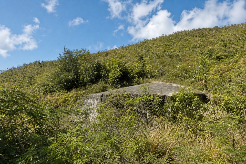
Caneel Bay Resort used the concrete basin and holding tank to collect rainwater, with pumped water from the resort’s desalination plant as a supplement. The tank sat high enough for treated water to flow down to resort buildings by gravity. That utility story is the hike’s real payoff; this is a short connector walk rather than a big-view trail.
Wildlife
 150 sightingsWhite-tailed DeerMost seen around 8 AMSighting map
 114 sightingsGreen IguanaMost seen around 9 AMSighting map
 62 sightingsBrown PelicanMost seen around 8 AMSighting map
 35 sightingsGreen Sea TurtleMost seen around noonSighting map
 32 sightingsAmerican FlamingoMost seen around 7 AMSighting map
 26 sightingsNurse SharkMost seen around 7 PMSighting map
Sighting maps show where each species has been reported across Virgin Islands. Wildlife moves, so no sighting is guaranteed.
Keep exploring
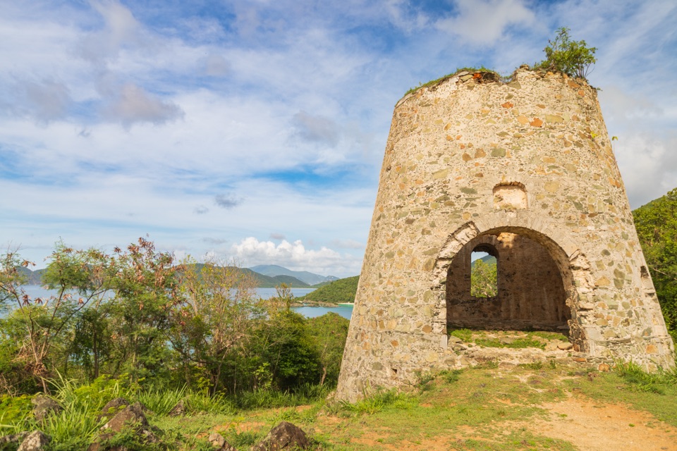 EasyPeace Hill Trail0.2 mi · 15 min · 0.8 mi awayA windmill ruin and wide bay views from a fifteen-minute climb.
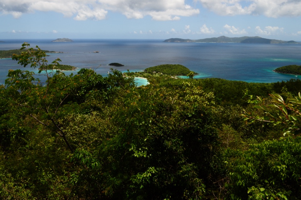 ChallengingCaneel Hill Trail4.3 mi · 3.2 hr · 1 mi awayTwo steep hills trade a hard climb for views across both coasts.
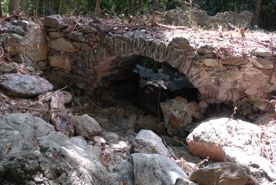 ModerateL'Esperance Trail5.2 mi · 5.5 hr · 1.2 mi awayA rugged old road through estate ruins down to the south shore.
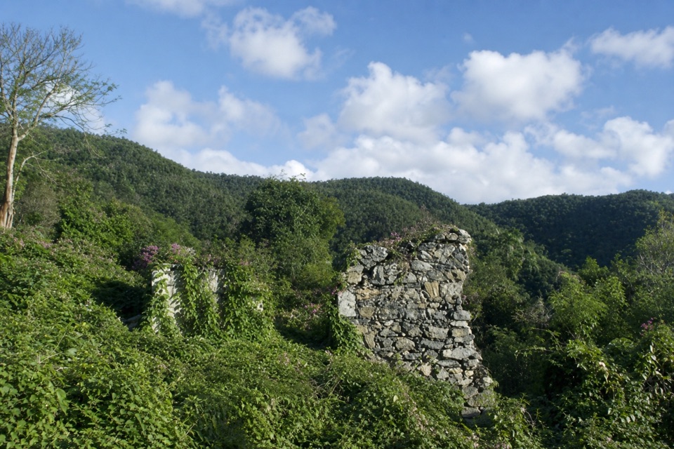 ModerateAmerica Hill Trail1.2 mi · 1.3 hr · 1.8 mi awayShort climb to a ruined Great House and east-facing island views.
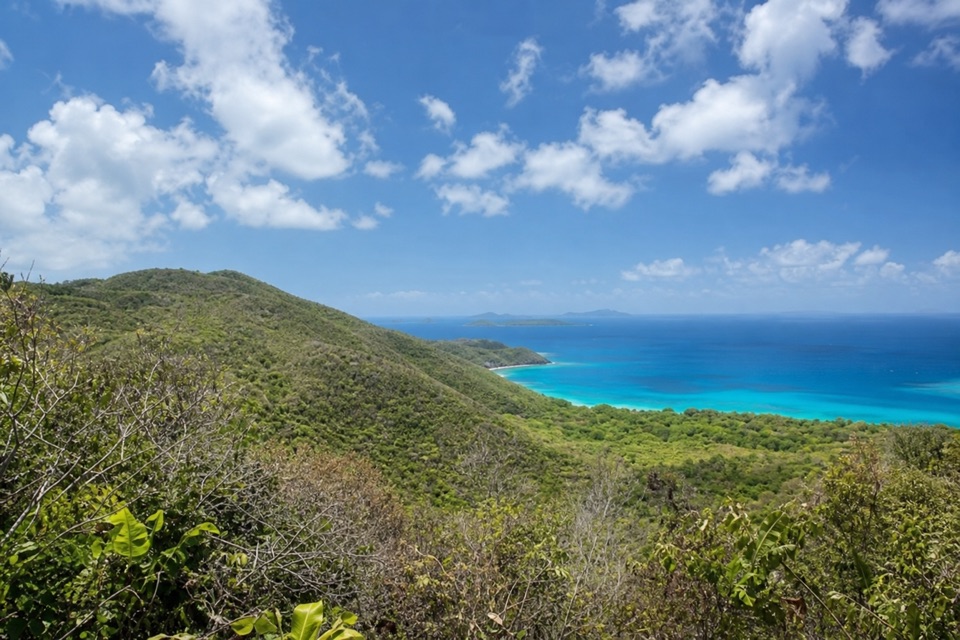 ChallengingCinnamon Bay Trail2 mi · 1.8 hr · 1.8 mi awayA steep old road, shaded forest, and a single bay lookout
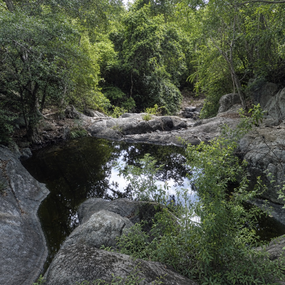 ChallengingPetroglyph Trail3.4 mi · 3 hr · 2.4 mi awayA shaded descent to ancient carvings, with a steep climb back out.
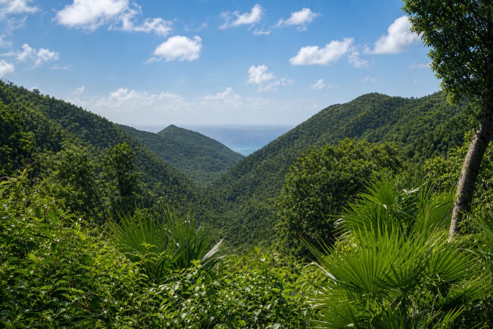 ModerateMaria Hope Trail0.8 mi · 45 min · 2.4 mi awayA shaded historic road drops through forest to a Maho Bay overlook.
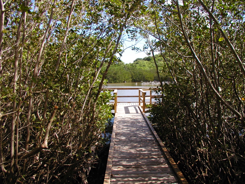 EasyFrancis Bay Boardwalk0.3 mi · 15 min · 2.8 mi awayA quick, accessible look into a mangrove salt pond.
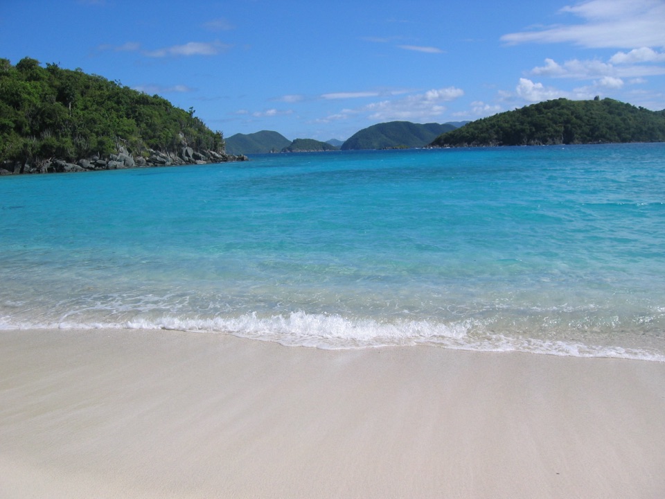 Beach · 0.5 mi awayHawksnest BeachTree shade and three Elkhorn reef fingers make this a worthwhile stop.
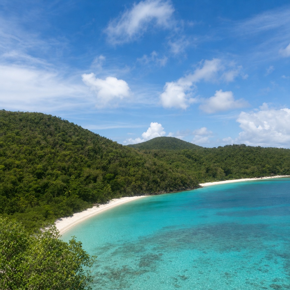 Beach · 0.6 mi awayGibney and Oppenheimer BeachA quieter Hawksnest shore for shade, swimming and reef-edge snorkeling.Sight · 0.6 mi awayCaneel Hill Observation DeckA steep climb opens a wide view of St. John’s bays.
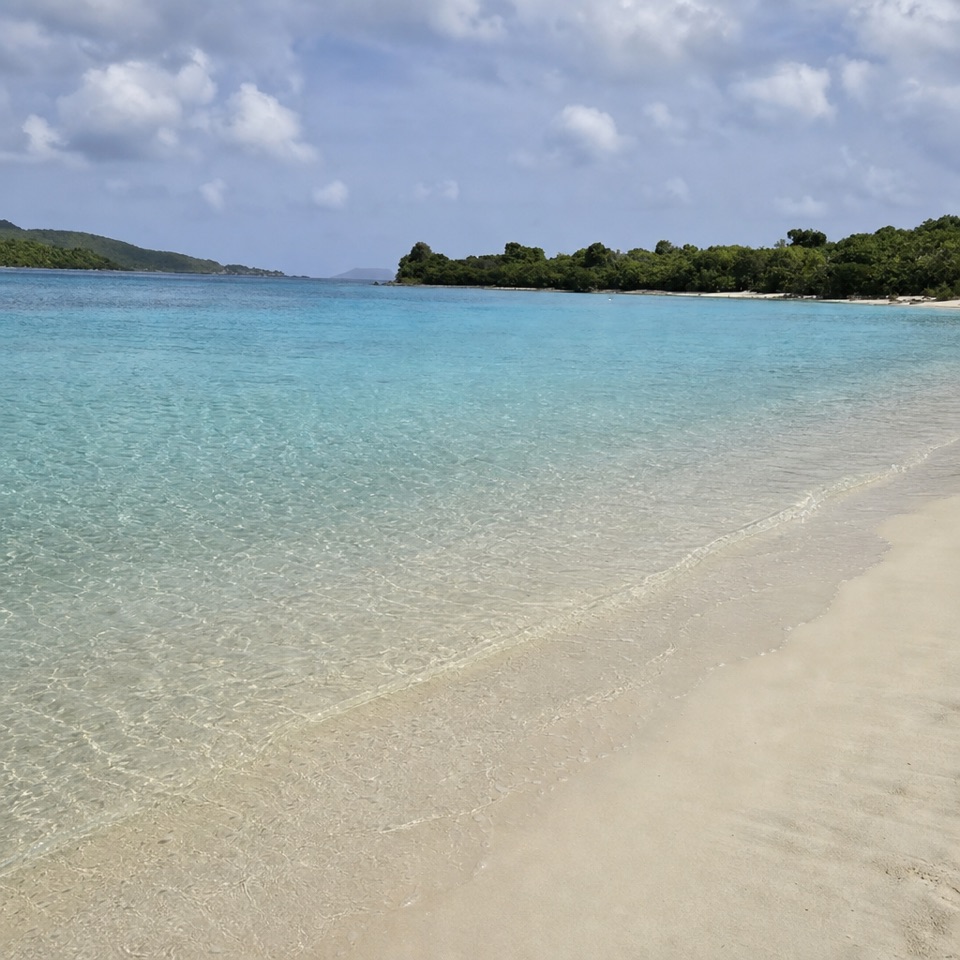 Beach · 0.8 mi awayCaneel BeachA paved walk passes a historic sugar mill before the beach.
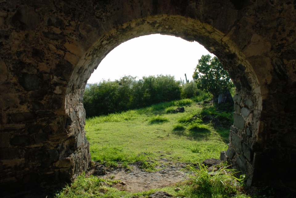 Sight · 0.8 mi awayPeace Hill Windmill RuinsA short climb to the stone sugar mill and north-shore views.
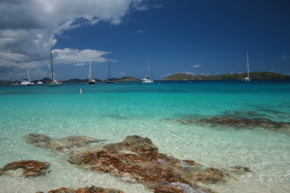 Beach · 0.9 mi awayHoneymoon BeachClear-water snorkeling rewards the uneven hike to this shaded beach.
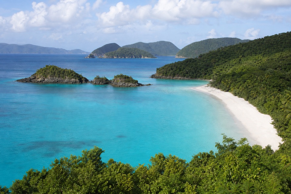 Sight · 0.9 mi awayTrunk Bay OverlookA quick roadside stop for Trunk Bay’s classic beach-and-cay view.
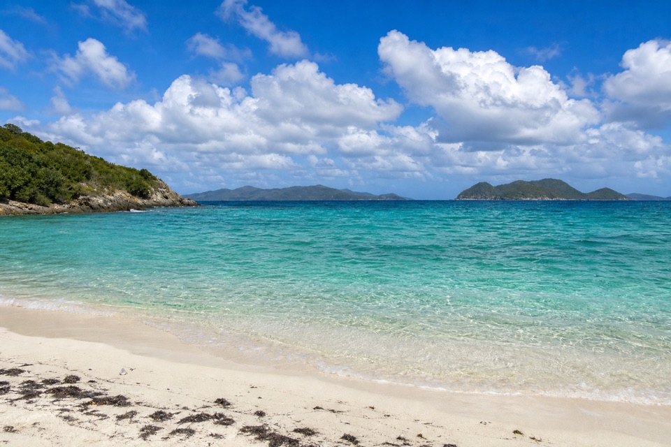 Beach · 0.9 mi awayJumbie BeachA quiet cove for a swim when the north-shore surf settles.
Parkwolf’s Virgin Islands ranking

The audio tour guide for the drive, plus offline maps, trails, and wildlife heatmaps for when the signal drops.