1 active Virgin Islands alert
- ClosureCaneel Bay restricted areas and pier closureAt Caneel Bay, stay within designated public areas; closed areas and the pier are off-limits.Official details

#10 of 38 sights in Virgin Islands
Beach · Virgin Islands National Park
A quieter swim-and-snorkel beach with a birding loop behind it.


Overview
Map
Plan your stop

The highest, rockiest slopes around here are a summer buffet for grizzly bears.
Virgin Islands Tour Guide
Parkwolf is a GPS audio tour guide for Virgin Islands National Park. As you drive, it chimes in with what’s ahead: hidden gems, upcoming stops, history, geology, and wildlife, right through your car’s speakers.
Recorded for this place
Francis Bay Beach and Salt Pond Boardwalk“Francis Bay's upper trail access is coming up, for a beach day with a salt-pond birding stop. If swimming and the boardwalk are your main aim, use the beach-end parking for the easier approach.”
Plays as you drive up to Francis Bay Beach in the Parkwolf Virgin Islands Tour Guide.
More stories near here in the app
“Fantastic app with many points of information… It’s great to just turn on while you’re driving and it gives you an audio tour of the national Park. We love it!!!!”
Guide
Francis Bay Beach is a north-shore beach in Virgin Islands National Park, with a sandy shore, shade, a wooded green hillside across the bay and a rocky stretch at the north end. It tends to feel quieter than the park’s best-known beaches. It’s a good pick for a long swim or snorkel, especially if you’d also enjoy a birding walk behind the beach.
Follow North Shore Road (Route 20) to Francis Bay. Parking at the beach end of Francis Bay Trail gives easier access to the shore; starting by the sugar factory means a steep climb to the beach and boardwalk. Beach-side parking is limited, so an early arrival can help with both a space and shade. Come prepared with food and drinking water; don’t count on a beachside vendor or rental service.
For snorkeling, head to the rocky shoreline at the north end. The middle of the bay has seagrass, while the eastern side has more coral and sea fans. Turtles and rays are reported around the seagrass, but wildlife sightings aren’t guaranteed. Shore reports range from soft sand to rocky or pebbly footing; water shoes are useful if you’ll explore the rockier edges.
Francis Bay Salt Pond sits just inland. The lower boardwalk passes through mangroves to two viewing platforms, a nice change of pace from swimming and a good place to watch birds. Allow 30 to 90 minutes or more for the pond loop if you plan to stop and look. The boardwalk to the platforms is wheelchair accessible; the rest of the trail is uneven and rocky, and the climb from the sugar-factory parking area is steep.
The stone boiling house and chimney by the trailhead were built by George Francis in 1874 and were among the last sugar factories built on St. John. The nearby Marys Point Great House sits over an older estate site shown on an 1780 survey and an 1800 map; the house was rebuilt in the early 19th century and later served as the Creque family’s summer home.
For a photo that feels like Francis Bay, include the rocky north end along a stretch of sand, with the wooded hillside across the water. The rocks give the beach foreground some shape and help show the bay’s setting.
Wildlife
 156 sightingsWhite-tailed DeerMost seen around 8 AMSighting map
 117 sightingsGreen IguanaMost seen around 9 AMSighting map
 63 sightingsBrown PelicanMost seen around 8 AMSighting map
 36 sightingsGreen Sea TurtleMost seen around noonSighting map
 32 sightingsAmerican FlamingoMost seen around 7 AMSighting map
 26 sightingsNurse SharkMost seen around 7 PMSighting map
Sighting maps show where each species has been reported across Virgin Islands. Wildlife moves, so no sighting is guaranteed.
Keep exploring
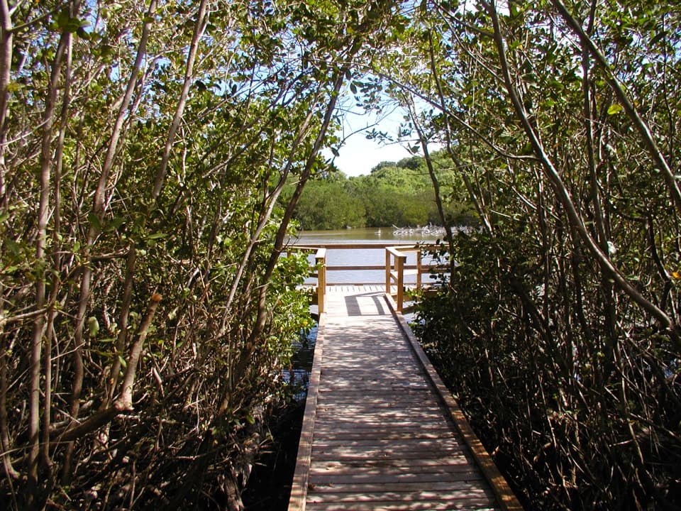 EasyFrancis Bay Boardwalk0.3 mi · 15 min · 0.1 mi awayA quick, accessible look into a mangrove salt pond.
 EasyFrancis Bay Trail0.8 mi · 1 hr · 0.2 mi awayRuins, beach, and a salt-pond boardwalk fit into one short loop.
 EasyLeinster Bay Trail1.6 mi · 1 hr · 0.8 mi awayAn old Danish road leads to Waterlemon Bay and Cay views.
 EasyAnnaberg Historic Trail0.3 mi · 1 hr · 0.8 mi awayA short climb to an old sugar mill and windmill
 ModerateAmerica Hill Trail1.2 mi · 1.3 hr · 1.1 mi awayShort climb to a ruined Great House and east-facing island views.
 ChallengingCinnamon Bay Trail2 mi · 1.8 hr · 1.1 mi awayA steep old road, shaded forest, and a single bay lookout
 ChallengingPetroglyph Trail3.4 mi · 3 hr · 1.2 mi awayA shaded descent to ancient carvings, with a steep climb back out.
 ModerateMaria Hope Trail0.8 mi · 45 min · 1.2 mi awayA shaded historic road drops through forest to a Maho Bay overlook.
 Sight · 0.2 mi awayMary Point Great House RuinsA small ruin with a long, layered estate story.
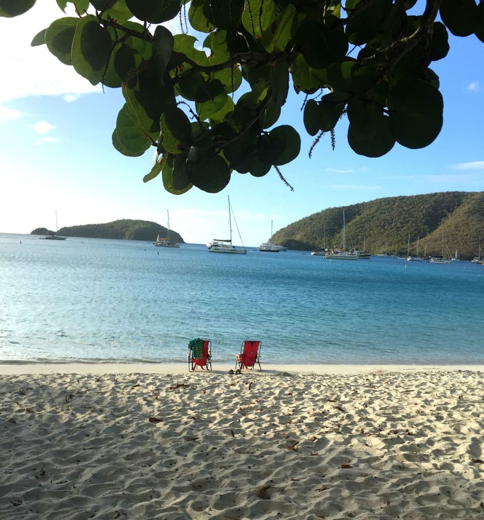 Beach · 0.5 mi awayMaho Bay BeachSnorkel above seagrass where green turtles graze.
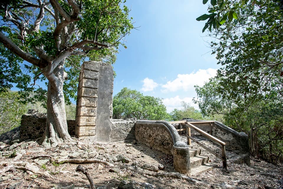 Sight · 0.5 mi awayAnnaberg School RuinsA small school ruin with a long, difficult history.
 Food · 0.6 mi awayMaho CrossroadsFood, shade and beach gear across the road from Maho Bay.
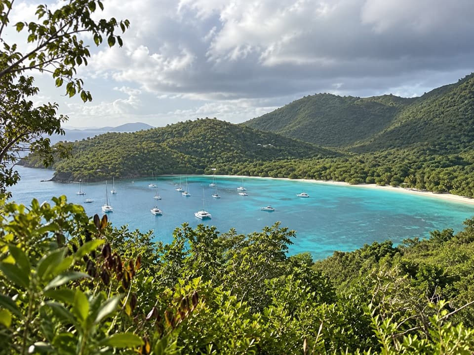 Sight · 0.7 mi awayMaho Bay OverlookA quick roadside panorama over Maho Bay and its long narrow beach.
 Sight · 0.8 mi awayAnnaberg Sugar PlantationRead St. John’s sugar and enslavement history among the ruins.
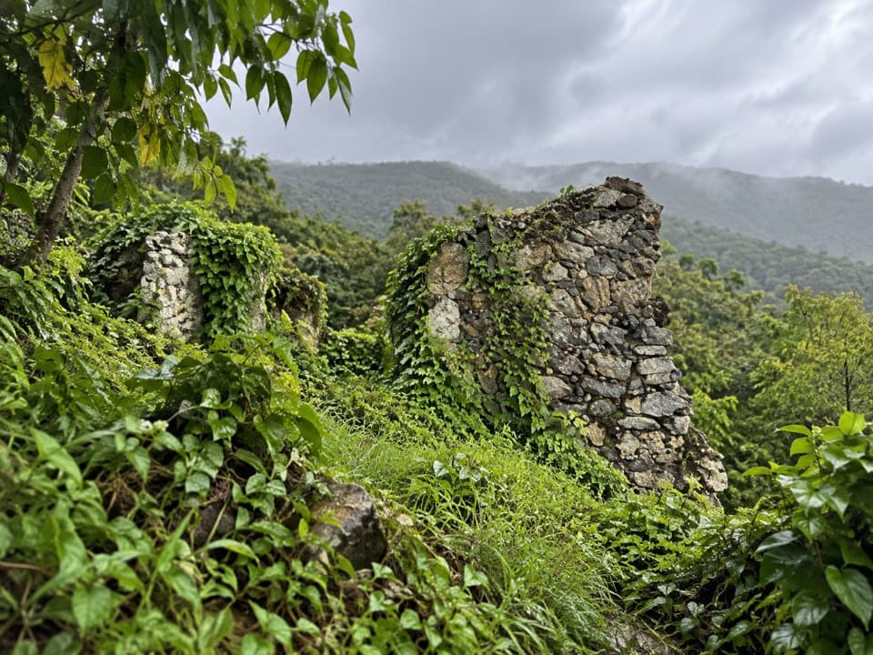 Sight · 0.9 mi awayAmerica Hill Great House RuinsA steep climb to America Hill’s overgrown great-house ruins.
 Beach · 0.9 mi awayCinnamon Bay BeachA long north-shore beach with clear water and archaeology beneath it.
Parkwolf’s Virgin Islands ranking

The audio tour guide for the drive, plus offline maps, trails, and wildlife heatmaps for when the signal drops.

