Parking
A small roadside pullout off East End Road at the trail start; parking capacity and facilities are not documented.

Virgin Islands National Park, VI
A steep first rise leads to Brown Bay and old estate ruins.
Overview
Map & elevation
Plan your hike

The highest, rockiest slopes around here are a summer buffet for grizzly bears.
Virgin Islands Tour Guide
Parkwolf is a GPS audio tour guide for Virgin Islands National Park. As you drive, it chimes in with what’s ahead: hidden gems, upcoming stops, history, geology, and wildlife, right through your car’s speakers.
Recorded for this trailhead
Brown Bay Trail and Beach“Up ahead is the Brown Bay trailhead, for a hilly walk to the shore and plantation ruins. Reaching the beach and returning is about one point six miles, with a steep opening climb and exposed stretches.”
Plays as you drive up to this trailhead in the Parkwolf Virgin Islands Tour Guide.
More stories near here in the app
“Fantastic app with many points of information… It’s great to just turn on while you’re driving and it gives you an audio tour of the national Park. We love it!!!!”


Trail guide
Brown Bay Trail is a 3.2-mile out-and-back from a small pullout on East End Road to its junction with Johnny Horn Trail. That distance covers the main trail to the junction and back; the beach branch and the walk along the shore to the ruins add mileage. Allow about two hours for the full route before beach stops. Go for the dry island scrub, plantation history, and water views. If your main goal is an easy white-sand swim, this is the wrong trail.
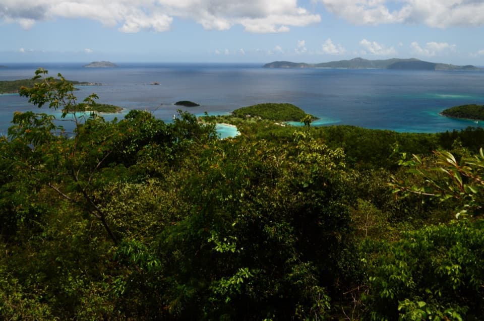
A short spur to the Hermitage Plantation ruins branches off almost at the start. The main path gains roughly 200 feet in its first 0.3 mile, reaches the first hilltop, then drops toward Brown Bay. Expect dry thorn scrub and open stretches with little shade; the valley gets hot. A few gaps look across Coral Bay toward Tortola, but some wooded sections have little view of the water.
At about 0.8 mile, a short right-hand branch drops to Brown Bay Beach; the main trail continues straight toward Johnny Horn. Turning around at the beach makes about 1.6 miles round trip, before exploring the shore. A path along the beach reaches Brown Bay's plantation ruins just over 0.1 mile farther on. The shoreline often collects seaweed and some visitors report an odor; don't expect a classic white-sand beach, and the odor's cause isn't established. Dogs can use the trail on leash, but pets aren't allowed on the beach.
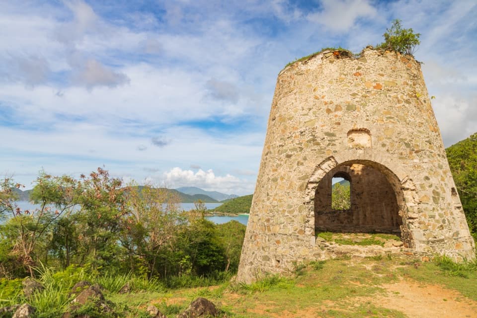
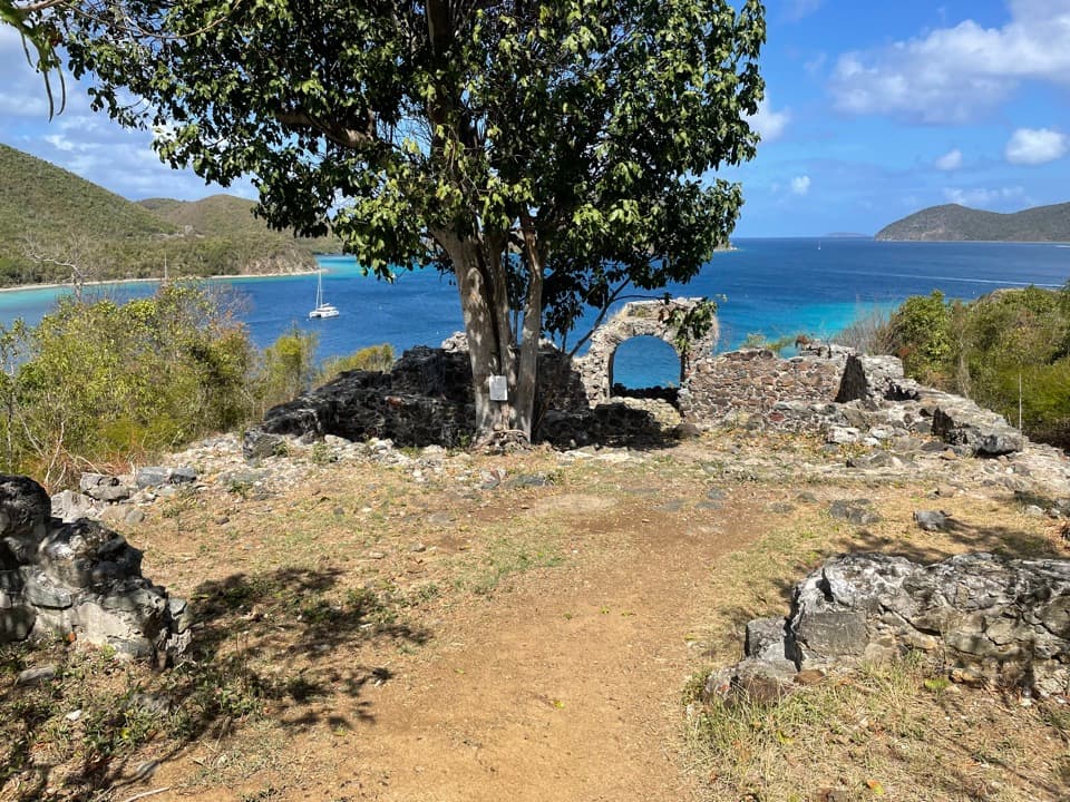
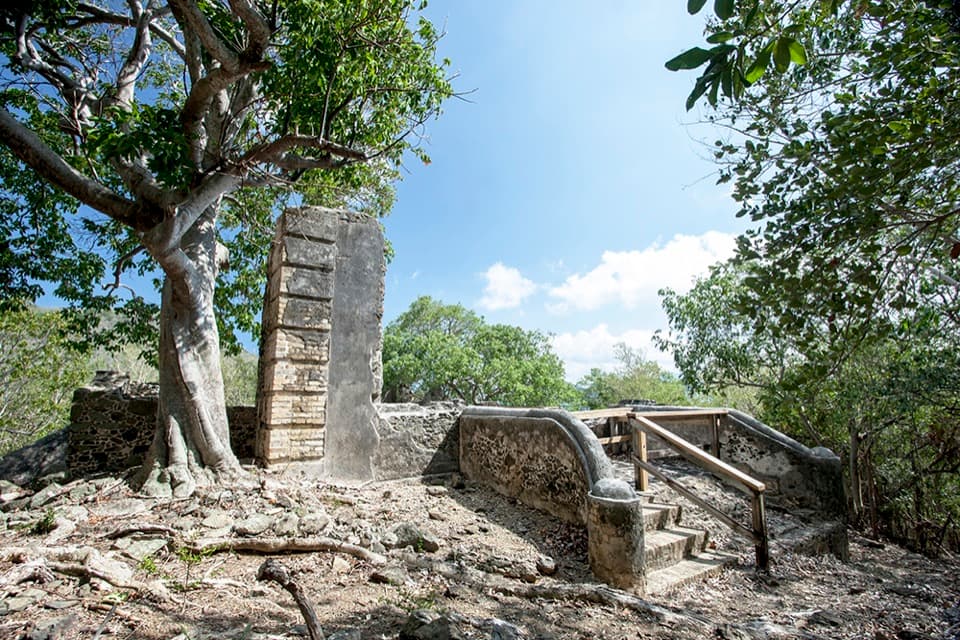
The Hermitage ruins are near the trailhead; Brown Bay's own ruins are at the far end of the beach. The Brown Bay landscape held several Danish-era estates that first grew cotton and later shifted to sugar, using enslaved labor. Records also place enslaved people from Brown Bay among those involved in the 1733–34 uprising. The colonial accounts are incomplete and told from the colonists' point of view. Brown Bay may take its name from Jan Bruyn, a man recorded there in 1728, but that link is only a possibility.
Brown Bay's dry forest is habitat for the rare endemic shrub Solanum conocarpum. It isn't something to expect on every walk, but it's a reminder that the scrub has its own story beyond the beach and ruins. The route crosses the island's dry eastern side, with short openings toward Coral Bay and Tortola rather than a continuous coastal panorama.
Start at the small roadside pullout off East End Road. Parking capacity, toilets, and drinking water at the trailhead or along the route aren't documented. Much of the path is open to the sun, and the first climb is steep. Current maintenance status hasn't been verified; an older park trail guide called it unmaintained, so don't assume groomed tread. Dogs must stay on a leash no longer than six feet on the trail and are prohibited on beaches.
Wildlife
 151 sightingsWhite-tailed DeerMost seen around 8 AMSighting map
 115 sightingsGreen IguanaMost seen around 9 AMSighting map
 62 sightingsBrown PelicanMost seen around 8 AMSighting map
 35 sightingsGreen Sea TurtleMost seen around noonSighting map
 32 sightingsAmerican FlamingoMost seen around 7 AMSighting map
 26 sightingsNurse SharkMost seen around 7 PMSighting map
Sighting maps show where each species has been reported across Virgin Islands. Wildlife moves, so no sighting is guaranteed.
Keep exploring
 ChallengingJohnny Horn Trail1.8 mi · 3 hr · 1.5 mi awayStone ruins and ridge views on a steep bay-to-harbor traverse.
 EasyLeinster Bay Trail1.6 mi · 1 hr · 2.1 mi awayAn old Danish road leads to Waterlemon Bay and Cay views.
 EasyAnnaberg Historic Trail0.3 mi · 1 hr · 2.1 mi awayA short climb to an old sugar mill and windmill
 EasyFrancis Bay Trail0.8 mi · 1 hr · 2.8 mi awayRuins, beach, and a salt-pond boardwalk fit into one short loop.
 ChallengingPetroglyph Trail3.4 mi · 3 hr · 2.8 mi awayA shaded descent to ancient carvings, with a steep climb back out.
 ModerateMaria Hope Trail0.8 mi · 45 min · 2.8 mi awayA shaded historic road drops through forest to a Maho Bay overlook.
 ModerateTektite Trail1.3 mi · 1 hr · 2.9 mi awayRocky climb to Great Lameshur Bay views and plantation ruins.
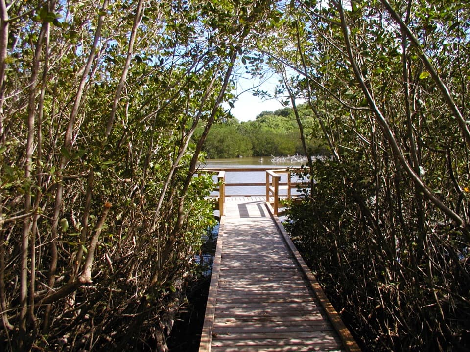 EasyFrancis Bay Boardwalk0.3 mi · 15 min · 2.9 mi awayA quick, accessible look into a mangrove salt pond.
 Beach · 0.5 mi awayBrown Bay BeachA shallow, tucked-away bay with seagrass and sugar-era ruins.
 Sight · 1.4 mi awayMurphy Great House RuinsClimb to a hillside ruin above Leinster Bay and Waterlemon Cay.
 Beach · 1.4 mi awaySouth Haulover BeachPebbles, coral edges and snorkeling just across the road.
 Beach · 1.5 mi awayNorth Haulover BeachA short trail leads to pebble shore and nearshore snorkeling.
 Beach · 1.6 mi awayLeinster Bay BeachA rocky bay shore that suits snorkelers more than sunbathers.Sight · 1.7 mi awayWaterlemon CayA reef-ringed cay, reached by a real open-water swim.
 Sight · 2.1 mi awayAnnaberg Sugar PlantationRead St. John’s sugar and enslavement history among the ruins.
 Sight · 2.4 mi awayAnnaberg School RuinsA small school ruin with a long, difficult history.
Parkwolf’s Virgin Islands ranking

The audio tour guide for the drive, plus offline maps, trails, and wildlife heatmaps for when the signal drops.