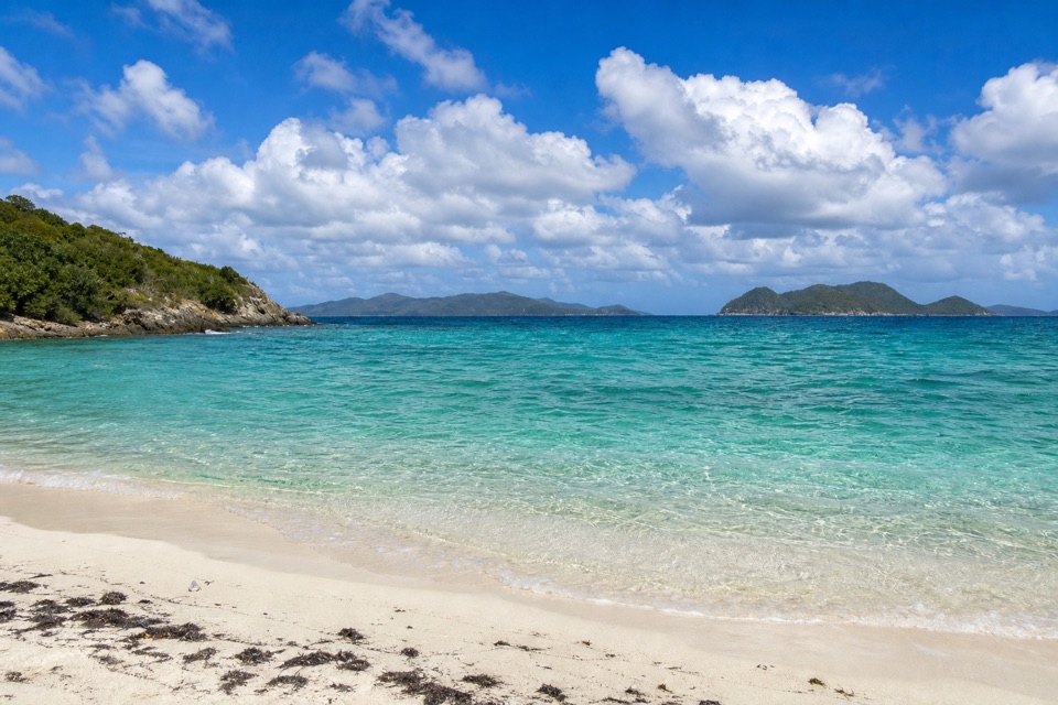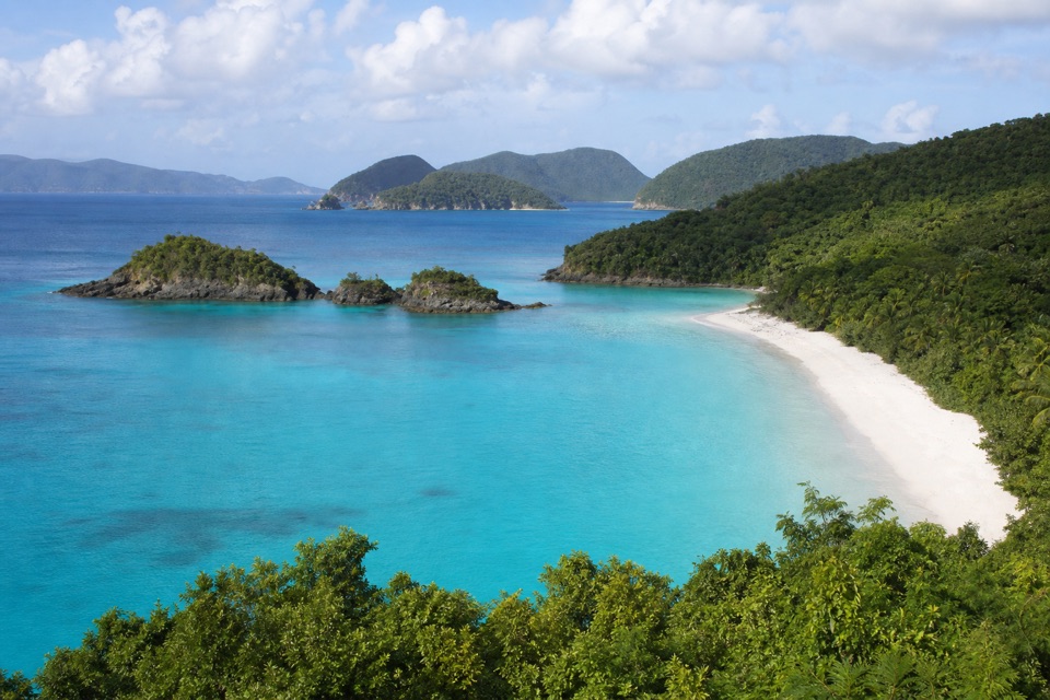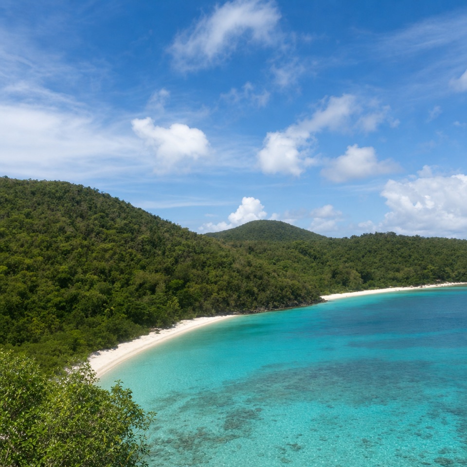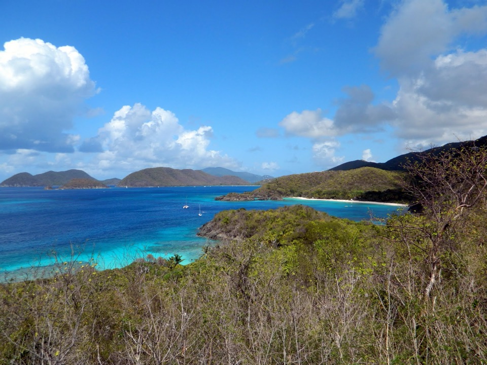
Denis Bay Beach in Virgin Islands National Park

Beach · Virgin Islands National Park

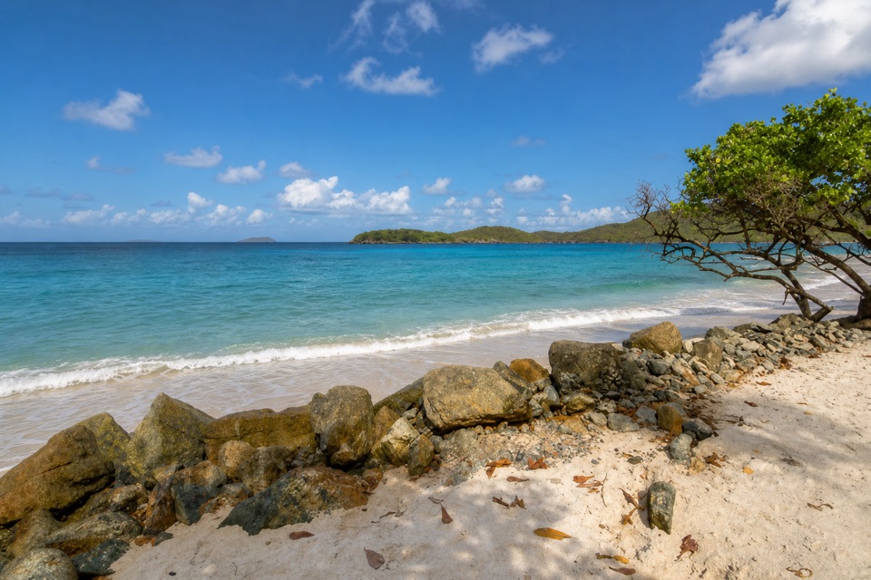
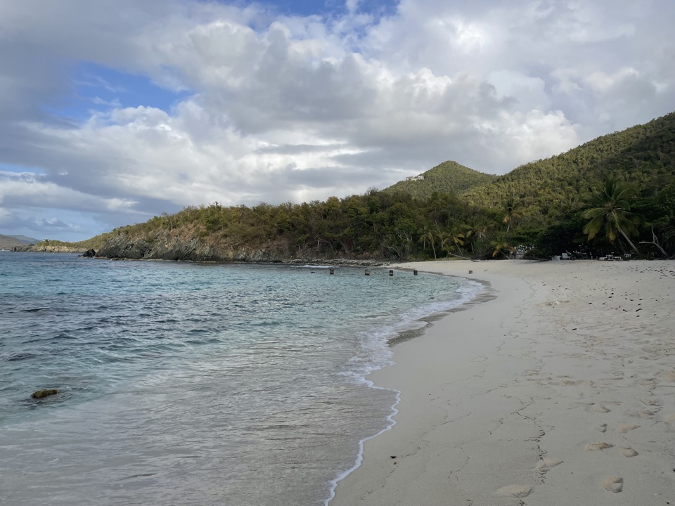
Denis Bay Beach

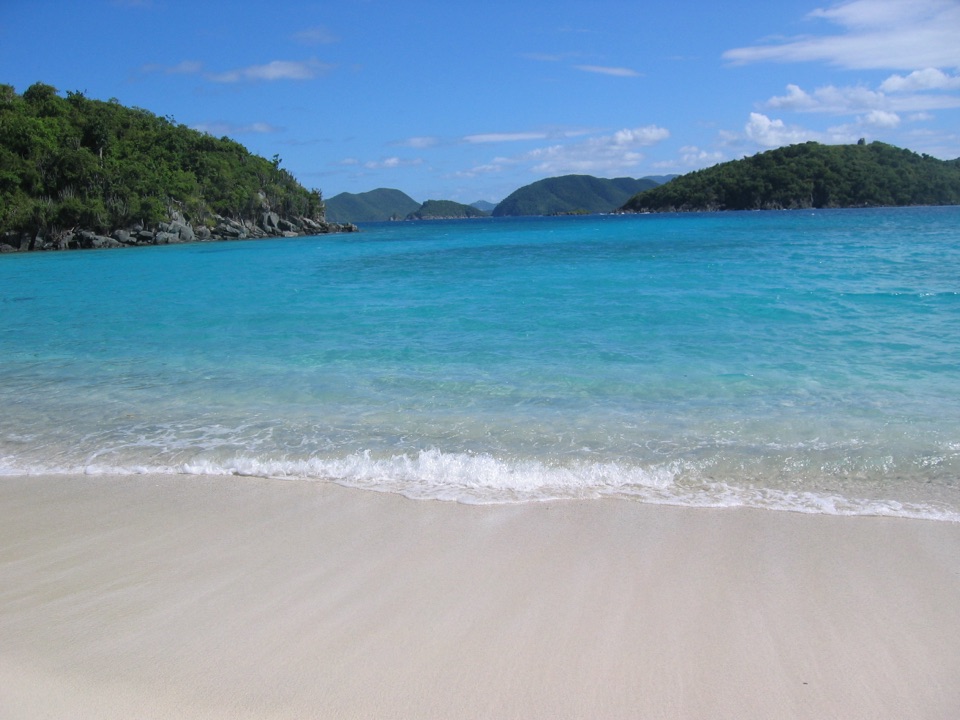
A quieter north-shore beach with a worthwhile wooded approach.

Photo: Public Domain
Type
Beach
Nearest trail
0.1 mi
Audio stories
13 nearby
  • Parking
  • Trailhead

Hear the audio tour

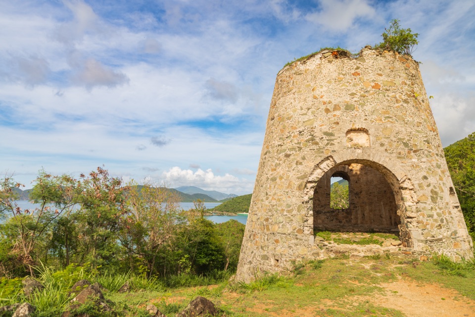
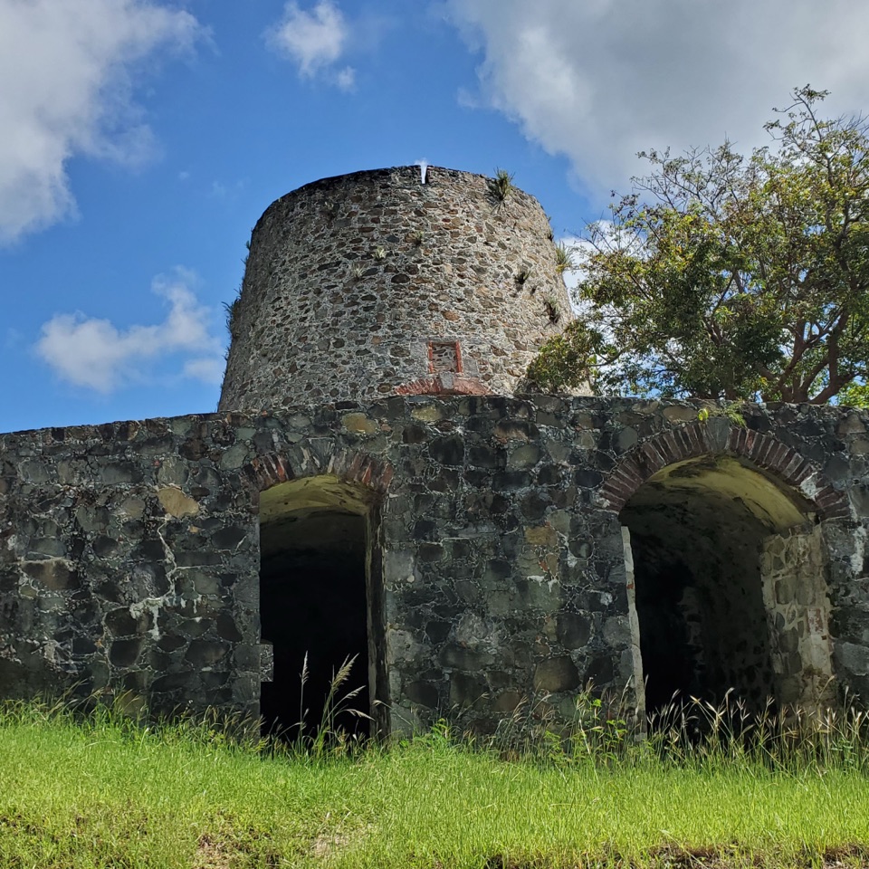
Peace Hill Windmill and Views

Overview

About Denis Bay Beach

Why stop

  • Long white sand and open views toward the British Virgin Islands.

Heads up

  • A narrow, uneven walk is required, and northern swell can roughen the water.

Map

Where it is

Loading the Virgin Islands map
Full map
BeachDenis Bay Beach18.35263, -64.77592
Keep this map with you offline in the Parkwolf app

Plan your stop

Before you go

3 active Virgin Islands alerts

  • ClosureCaneel Bay: designated areas only; pier closedAt Caneel Bay, stay in designated public areas; other areas remain closed because of present safety risks, and the pier remains closed because it has been deemed unsafe.Official details
  • CautionModerate rip-current risk at U.S. Virgin Islands beachesThe National Weather Service reports a moderate rip-current risk for the U.S. Virgin Islands. - Choose a guarded or more protected beach and swim near a lifeguard.Official details

See all 3 alerts
A park ranger sits on a dash-mounted phone, talking, as Parkwolf’s Tour Guide plays “Army Cutworm Moths: A Grizzly Bear Buffet” on Grand Loop Road below Dunraven Pass in Yellowstone
Parkwolf Tour GuideThe highest, rockiest slopes around here are a summer buffet for grizzly bears.

Virgin Islands Tour Guide

Your drive to Denis Bay Beach, narrated.

Parkwolf is a GPS audio tour guide for Virgin Islands National Park. As you drive, it chimes in with what’s ahead: hidden gems, upcoming stops, history, geology, and wildlife, right through your car’s speakers.

Recorded for this place

Peace Hill Windmill and Views
0:00 / 0:26
“Peace Hill's roadside trail access is coming up. A short, rocky climb reaches a stone sugar-mill ruin and views across the north-shore bays; allow ten to fifteen minutes for the walk there and back.”

Plays as you drive up to Denis Bay Beach in the Parkwolf Virgin Islands Tour Guide.

More stories near here in the app

  • Jumbie Beach
  • Trunk Bay Beach and Overlook
  • Hawksnest Bay and Oppenheimer Beach
  • Water Catchment Trail and the Old Basin
  • 26 audio storiesacross Virgin Islands’s roads, triggered by GPS as you drive
  • Wildlife heatmapsfor White-tailed Deer, Green Iguana, Brown Pelican, and 13 more
  • Works offlinemaps, 22 trails, 42 places, and audio download before you lose signal
  • CarPlay readysimple controls built for the drive
★★★★★
“Fantastic app with many points of information… It’s great to just turn on while you’re driving and it gives you an audio tour of the national Park. We love it!!!!”
JMJamesApp Store review
Download Parkwolf on the App StoreGet Parkwolf on Google Play

4.7 from 8,600+ ratings

Guide

More about Denis Bay Beach

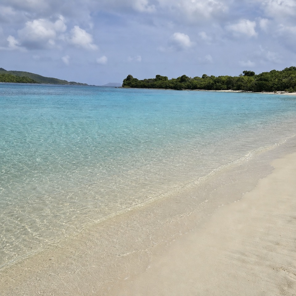
A quieter north-shore beachDenis Bay is a long, white-sand beach on St.

Denis Bay is a long, white-sand beach on St. John’s north shore, reached on foot between the better-known Hawksnest and Trunk Bay areas. It’s a good pick if you want a quieter stretch of coast and don’t mind a short, uneven walk down from the road.

The walk from Peace HillPark at the small Peace Hill pullout on North Shore Road.

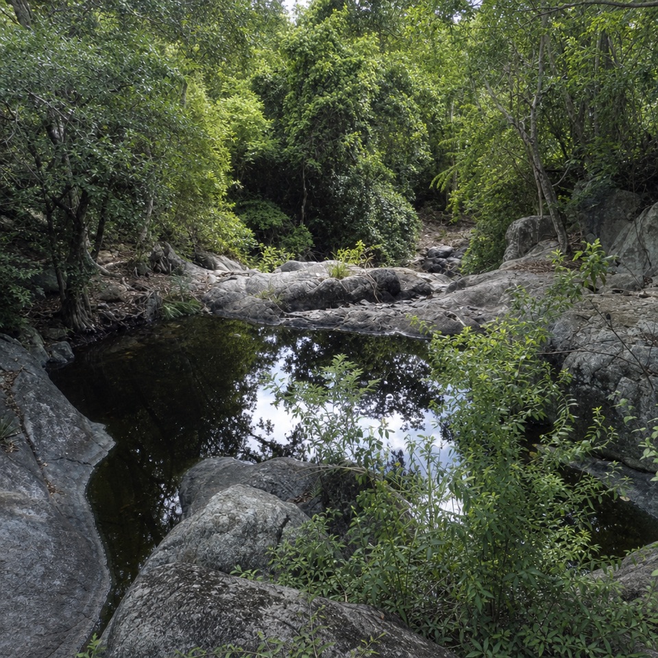
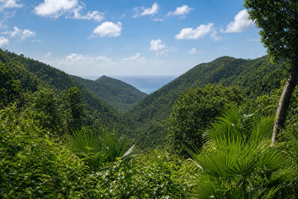
Park at the small Peace Hill pullout on North Shore Road. Start up the Peace Hill path, then take the narrow spur on the right as it drops through the woods to the beach. The walk takes about ten minutes; the footing can be uneven and slippery, so sturdy shoes are a better call than flip-flops. You can visit the windmill ruin on Peace Hill on the same outing, but it’s a separate stop above the beach.

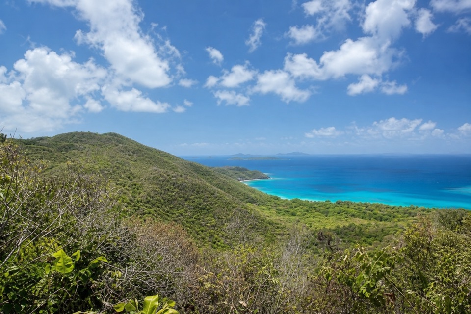
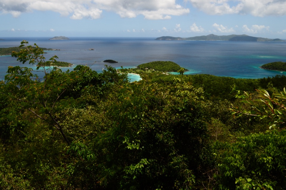
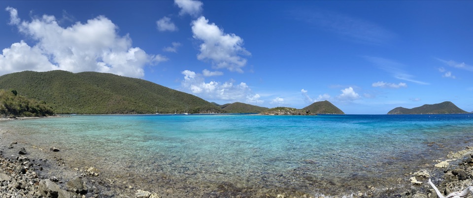
Look north from the sandThe open view faces the British Virgin Islands, with Perkins Cay offshore.

The open view faces the British Virgin Islands, with Perkins Cay offshore. Rocky outcrops at either end are the spots local guides point to for snorkeling. For a beach photo, include the curve of the shoreline with Perkins Cay out in the water; the walk-in setting is part of what makes this stop feel different from the drive-up beaches.

Check the water and bring what you needThe bay can be gentle, but it’s exposed to northern swell and currents that can make the water…

The bay can be gentle, but it’s exposed to northern swell and currents that can make the water rough. Check conditions before swimming or snorkeling, and stay ashore when the surf or current is strong. There are no beach-side restrooms, picnic tables, concessions, or rentals, so bring drinking water, food, and anything else you’ll need.

Estate traces and the shoreline boundaryA collapsed pier and old estate remains are reported near the far end of the beach, but their…

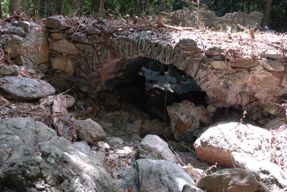
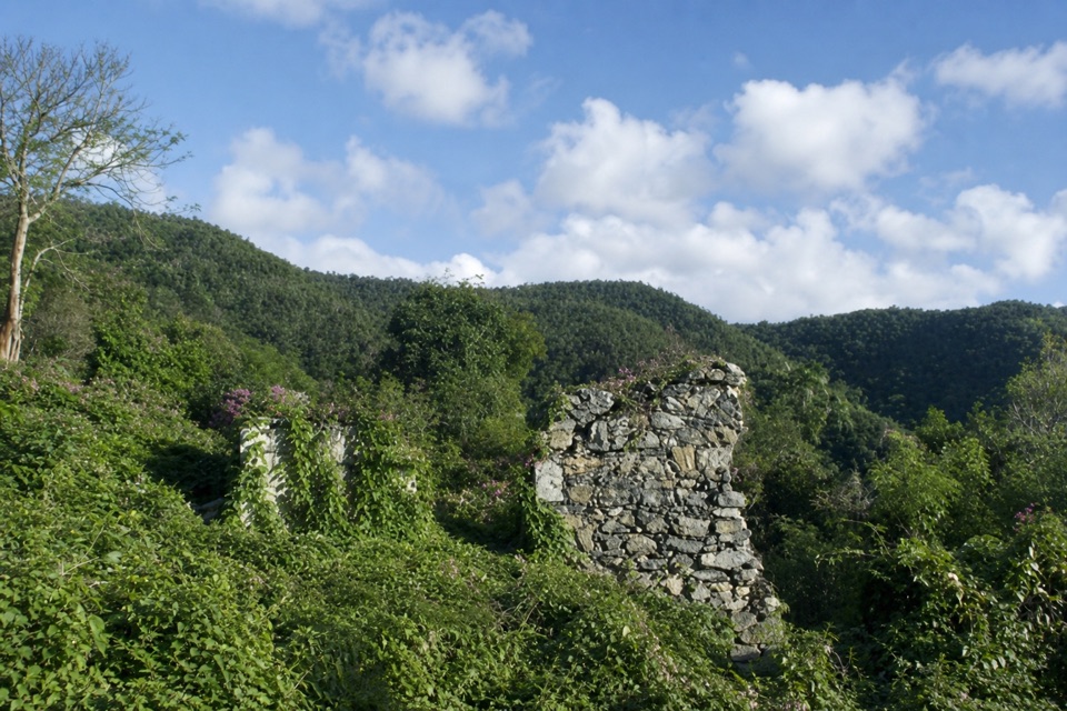
A collapsed pier and old estate remains are reported near the far end of the beach, but their dates and original use aren’t established. The land inland above the high-water line is private; keep to the beach rather than wandering up to the ruins.

Wildlife

Wildlife in Virgin Islands

All Virgin Islands wildlife maps

Sighting maps show where each species has been reported across Virgin Islands. Wildlife moves, so no sighting is guaranteed.

Keep exploring

Near Denis Bay Beach

See it all on the map

Trails nearby

More stops nearby

Parkwolf’s Virgin Islands ranking

Top sights in Virgin Islands

All 42 places
  1. 1Trunk Bay BeachBeach
  2. 2Maho Bay BeachBeach
  3. 3Annaberg Sugar PlantationSight
  4. 4Cinnamon Bay BeachBeach
  5. 5Waterlemon CaySight
  6. 6Reef Bay PetroglyphsSight

Take Parkwolf to Virgin Islands.

The audio tour guide for the drive, plus offline maps, trails, and wildlife heatmaps for when the signal drops.

4.7 from 8,600+ ratings

Download Parkwolf on the App StoreGet Parkwolf on Google Play