1 active Virgin Islands alert
- ClosureCaneel Bay restricted areas and pier closureAt Caneel Bay, stay within designated public areas; closed areas and the pier are off-limits.Official details
Sight · Virgin Islands National Park
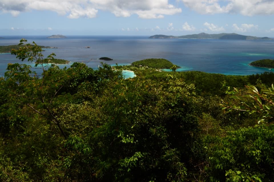
A steep climb opens a wide view of St. John’s bays.
Photo: NPS Photo
Overview
Map
Plan your stop

The highest, rockiest slopes around here are a summer buffet for grizzly bears.
Virgin Islands Tour Guide
Parkwolf is a GPS audio tour guide for Virgin Islands National Park. As you drive, it chimes in with what’s ahead: hidden gems, upcoming stops, history, geology, and wildlife, right through your car’s speakers.
Recorded for this place
Caneel Hill Trail and Observation Deck“You're nearing the Caneel Hill trailhead above Cruz Bay. A mile of steep, rocky climbing brings you to a raised observation deck overlooking the north-shore bays; turn around there for a two-mile outing.”
Plays as you drive up to Caneel Hill Observation Deck in the Parkwolf Virgin Islands Tour Guide.
More stories near here in the app
“Fantastic app with many points of information… It’s great to just turn on while you’re driving and it gives you an audio tour of the national Park. We love it!!!!”


Guide
Caneel Hill Observation Deck is a raised viewing platform at the top of Caneel Hill, above Cruz Bay. It is a hike-to stop, not a roadside pull-off: make the climb for a broad panorama across St. John’s north-shore bays and island waters. If you want an easy viewpoint stop, choose somewhere closer to the road; this view costs an uphill effort.
Allow roughly 30–60 minutes uphill from Cruz Bay and about a mile, depending on the route and starting point. The trail is steep, rocky and uneven, and can become slippery after rain. Wear shoes with good tread, bring plenty of water, and check the weather before setting out. Parking is available at the trailhead, but spaces are limited. Another approach connects from Upper Lind Point via Caneel Spur, and the ridge trail continues toward Margaret Hill if you want a longer outing. Dogs are allowed on leash.
The raised platform opens a wider sweep of water above the summit vegetation, with St. John’s north shore and the islands beyond in view. A clear panorama can reach toward St. Croix. For a photo, keep some green hillside in the foreground and frame the bright bays and islands beyond; that layered view shows the scale of the coast better than aiming only at open water.
Hurricane Hugo destroyed an earlier wooden tower on Caneel Hill. In 2006, local resident Frank Cummings organized a replacement with park approval and partial funding. Volunteers hauled lumber, cement and a generator up the steep hillside to build the raised platform visitors came to know as the summit overlook.
The trail crosses dry forest on land once used for cotton cultivation. After plantations were sold or abandoned in the late 19th century, the area shifted to pasture and small provision gardens, then became part of the national park in the 1950s.
Wildlife
 156 sightingsWhite-tailed DeerMost seen around 8 AMSighting map
 117 sightingsGreen IguanaMost seen around 9 AMSighting map
 63 sightingsBrown PelicanMost seen around 8 AMSighting map
 36 sightingsGreen Sea TurtleMost seen around noonSighting map
 32 sightingsAmerican FlamingoMost seen around 7 AMSighting map
 26 sightingsNurse SharkMost seen around 7 PMSighting map
Sighting maps show where each species has been reported across Virgin Islands. Wildlife moves, so no sighting is guaranteed.
Keep exploring
ChallengingCaneel Hill Trail4.3 mi · 3.2 hr · 0.4 mi awayTwo steep hills trade a hard climb for views across both coasts. ModerateWater Catchment Trail0.7 mi · 30 min · 0.6 mi awayA steep one-way drop to Caneel Bay’s old water basin
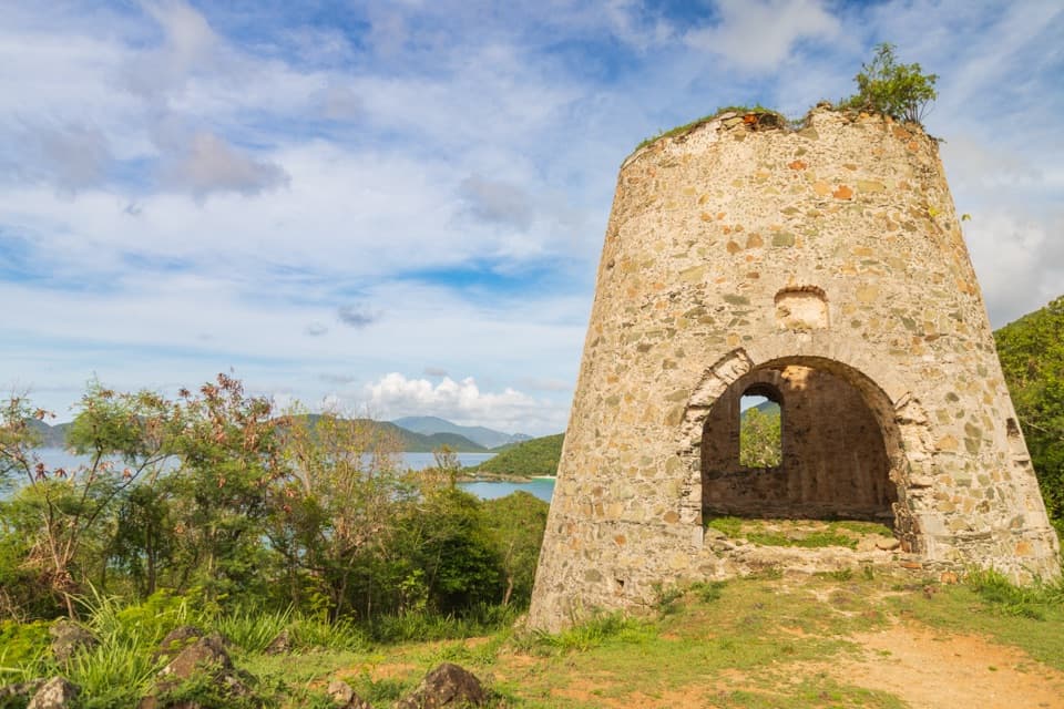 EasyPeace Hill Trail0.2 mi · 15 min · 1.2 mi awayA windmill ruin and wide bay views from a fifteen-minute climb.
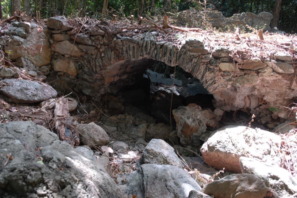 ModerateL'Esperance Trail5.2 mi · 5.5 hr · 1.8 mi awayA rugged old road through estate ruins down to the south shore.
 ModerateAmerica Hill Trail1.2 mi · 1.3 hr · 2.4 mi awayShort climb to a ruined Great House and east-facing island views.
 ChallengingCinnamon Bay Trail2 mi · 1.8 hr · 2.4 mi awayA steep old road, shaded forest, and a single bay lookout
 ChallengingPetroglyph Trail3.4 mi · 3 hr · 3 mi awayA shaded descent to ancient carvings, with a steep climb back out.
 ModerateMaria Hope Trail0.8 mi · 45 min · 3 mi awayA shaded historic road drops through forest to a Maho Bay overlook.
 Beach · 0.4 mi awayHoneymoon BeachClear-water snorkeling rewards the uneven hike to this shaded beach.
 Beach · 0.4 mi awayCaneel BeachA paved walk passes a historic sugar mill before the beach.
 Beach · 0.5 mi awaySalomon BeachA quiet hike-in beach with reef nearby.
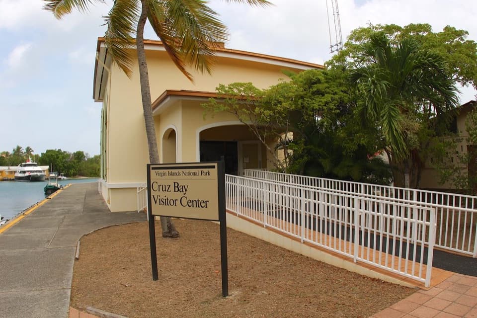 Visitor center · 0.5 mi awayCruz Bay Visitor CenterStart with the island model before choosing your first hike.
 Sight · 0.7 mi awayLind Point OverlookCruz Bay and green cays from a bench above the harbor.
 Beach · 0.9 mi awayHawksnest BeachTree shade and three Elkhorn reef fingers make this a worthwhile stop.
 Beach · 1 mi awayGibney and Oppenheimer BeachA quieter Hawksnest shore for shade, swimming and reef-edge snorkeling.
 Sight · 1.2 mi awayPeace Hill Windmill RuinsA short climb to the stone sugar mill and north-shore views.
Parkwolf’s Virgin Islands ranking

The audio tour guide for the drive, plus offline maps, trails, and wildlife heatmaps for when the signal drops.