
All Voyageurs places
49 places
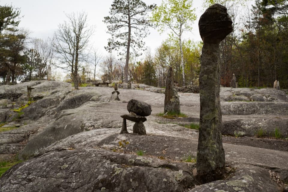 1Ellsworth Rock GardensA boat-access rock garden with stone sculptures and lake views.
 Kettle Falls HotelA 1913 wilderness hotel with a famously sloping bar floor.
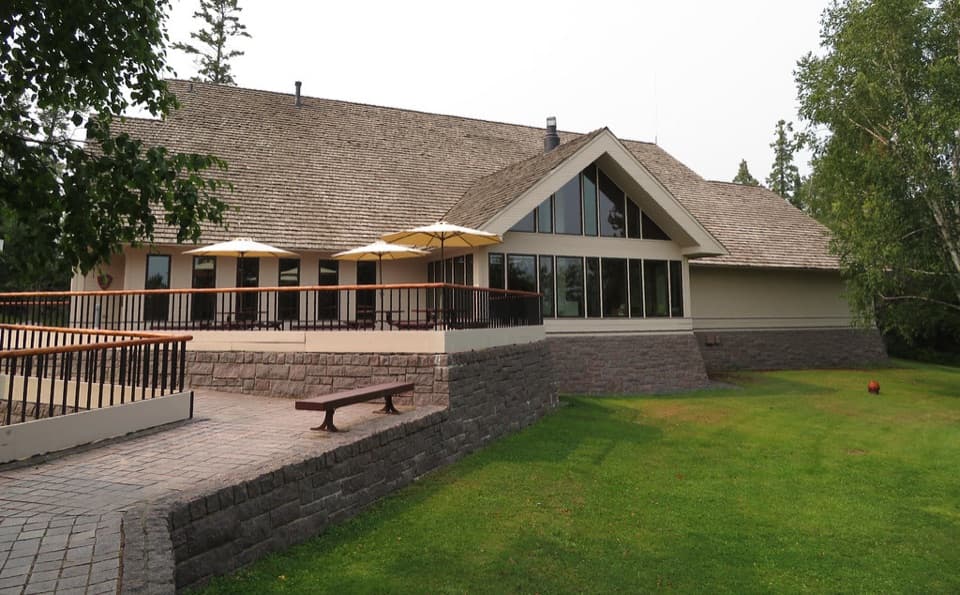 Rainy Lake Visitor CenterA useful first stop for ranger help, exhibits, and lake walks.
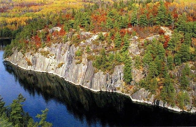
 2Grassy Bay CliffsA towering granite wall, best seen from the water.
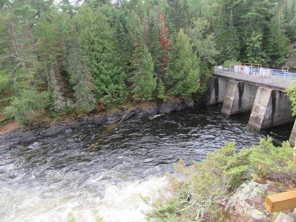 3Kettle Falls Dam OverlookLook south into Canada from a dam on the old portage route.
 4Anderson BayNineteen boat miles lead to 80-foot granite cliffs above Rainy Lake.
 5Little American IslandA short boat-only walk through Rainy Lake’s gold-rush ruins.
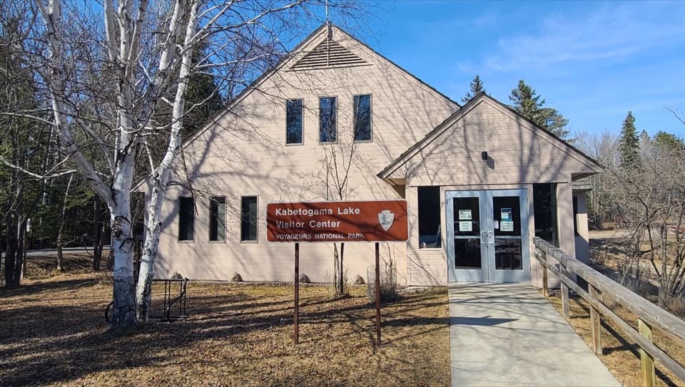 Kabetogama Lake Visitor CenterGet oriented before you trade the road for the lake.
 Ash River Visitor CenterHistoric lodge, lake views, and an easy start to Ash River.
 6I.W. Stevens ResortHistoric cabins, a sauna, and a glimpse of island self-reliance.
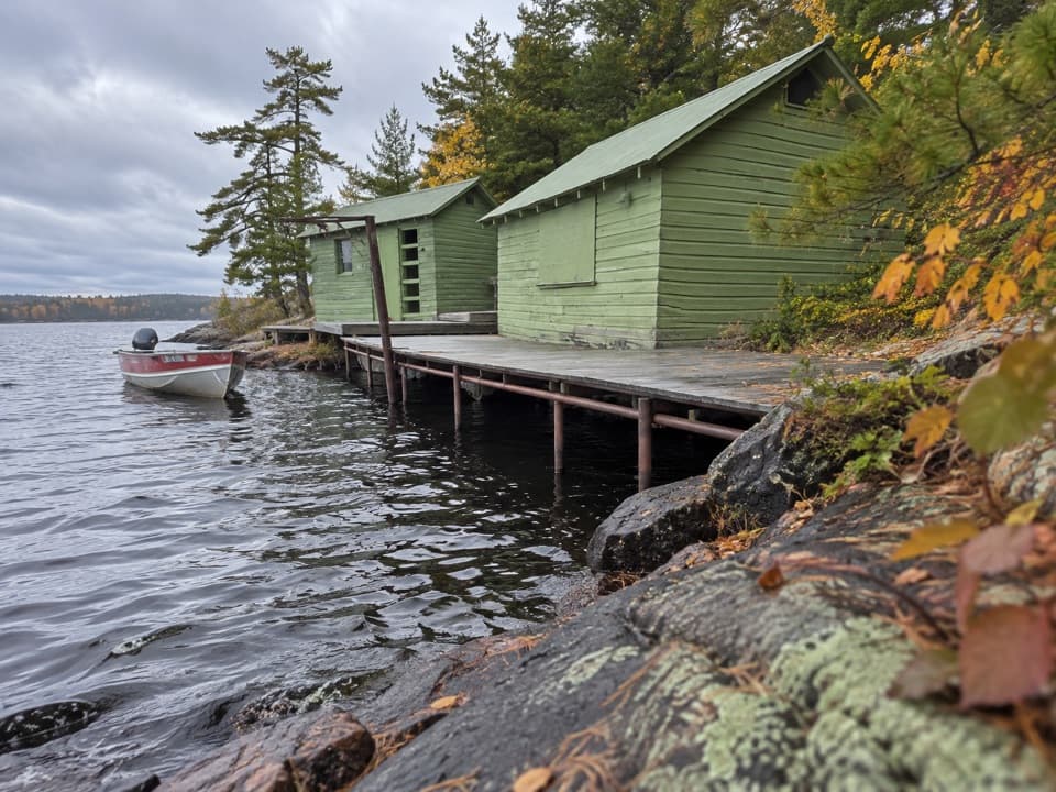 7Harry Oveson Fish CampOne Rainy Lake fisherman’s working world, reached only by boat.
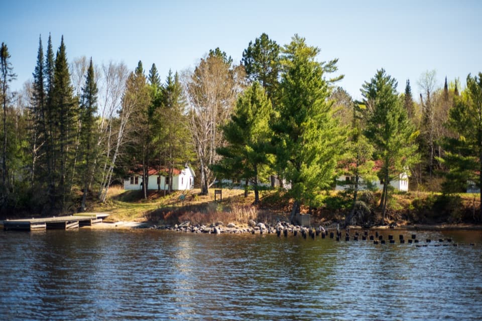 8Hoist BayAn old logging camp and lakeside resort made for a boat stop.
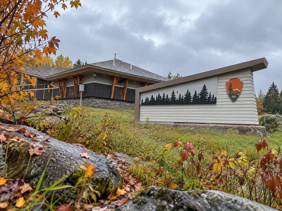 Crane Lake Visitor CenterGet oriented before exploring Voyageurs from Crane Lake.
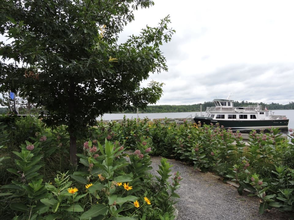 9Rainy Lake Ethnobotanical GardenA short garden walk ties native plants to Ojibwe knowledge.
 10Beaver Pond OverlookA short climb to an open view over a beaver pond.
 11Kabetogama Lake OverlookA short forest walk to a tree-framed lake view.
 Woodenfrog Campground and Day-Use AreaRustic lakeside camping with a beach and boat launch.
 12Casareto Summer CabinA 1930s cabin on Crane Lake with a much older story
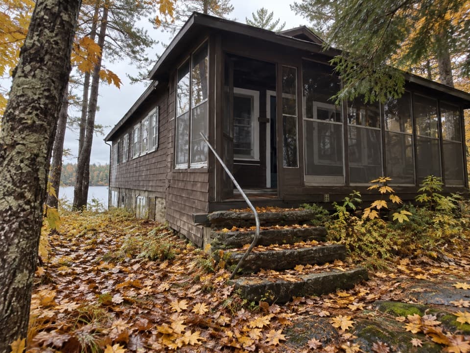 13William Ingersoll EstateBoat-access island estate with four surviving historic buildings
 Voyageurs Forest OverlookA dark-sky picnic stop, with a tree-screened daytime overlook.
 14Sphunge Island Sledding HillTwo slopes suit younger sledders and anyone ready for steeper runs.
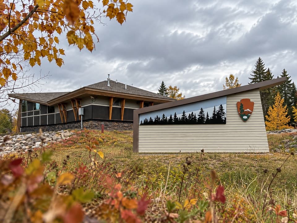 Crane Lake Voyageur RV CampgroundFull-hookup RV sites beside Crane Lake's visitor center and docks.
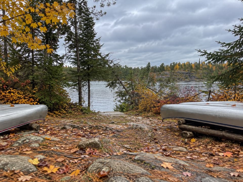 Locator Lake Day-Use AreaA backcountry picnic stop that opens up interior-lake paddling.
 Ash River CampgroundA simple landing-side base for getting out on the lakes.
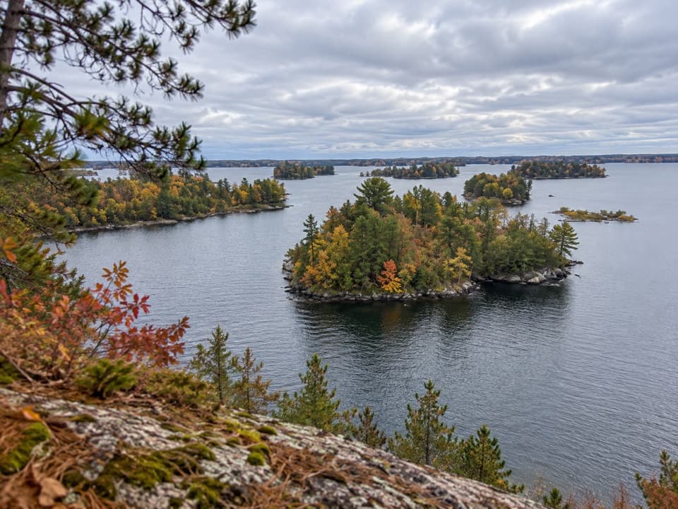 Hacksaw Pass Day-Use AreaA practical picnic landing for a Kabetogama Lake boat day.
 15Crescent BeachA Rainy Lake sand landing for a picnic by boat.
 16Anderson Bay BeachA sandy Rainy Lake picnic stop reached by water.
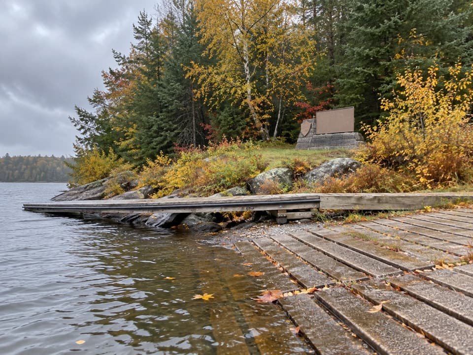 17Shoepack BeachBreak up a boat day with a picnic on the shore.
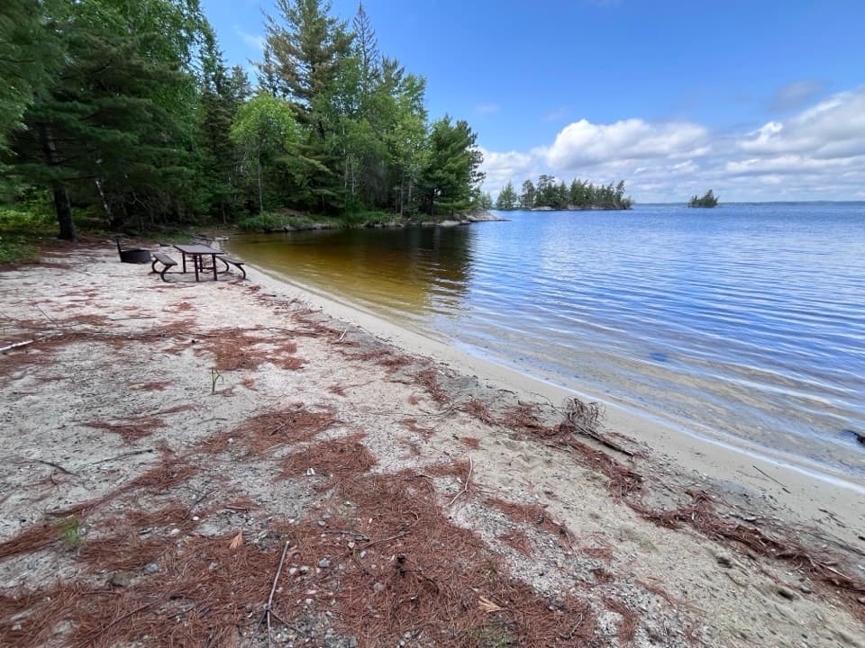 18Twin BeachA sandy Namakan shore for a picnic break by boat.
 19Claffey BeachA boat-access beach stop on Sand Point Lake.
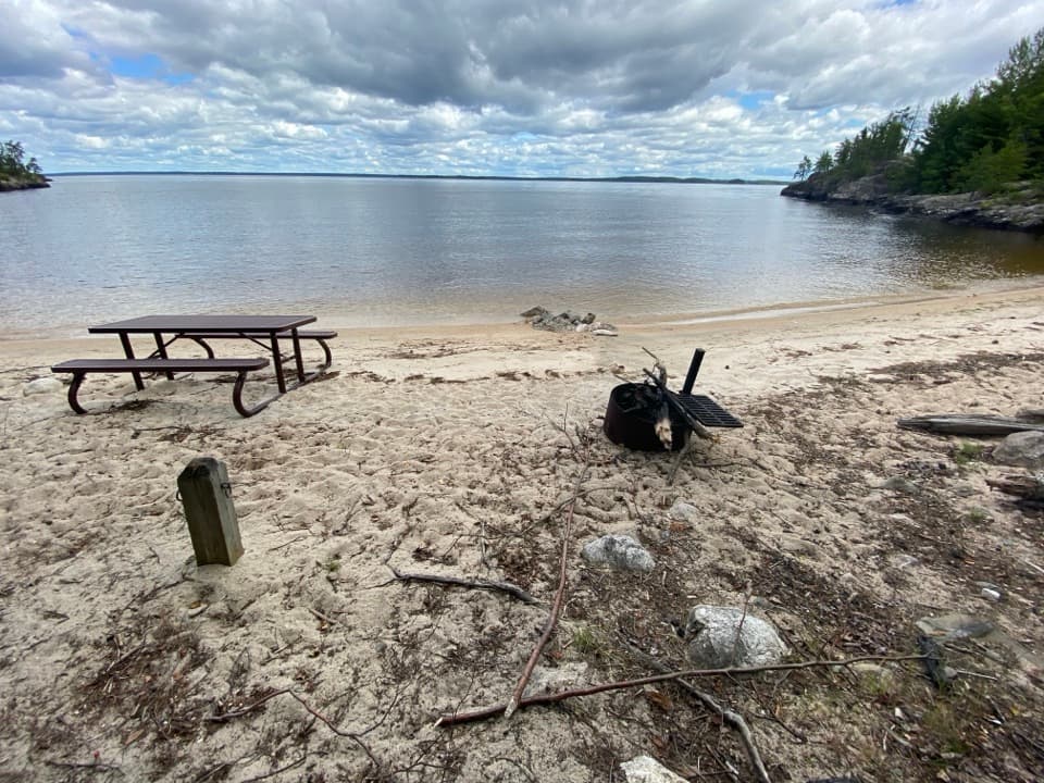 20Finger Bay BeachA sandy Rainy Lake landing for a picnic by boat.
 Diamond Island Central Day-Use AreaA sandy shore break for a day on Rainy Lake.
 Moxie Island Day-Use AreaA sandy Kabetogama landing for picnics and a lake swim.
 Sand Point Day-Use AreaA picnic pause on an island-studded lake.
 Grassy Bay Island Day-Use AreaA boat-in picnic stop for a pause on Sand Point Lake.
 Sheen Island Day-Use AreaA dockside picnic stop on Namakan Lake.
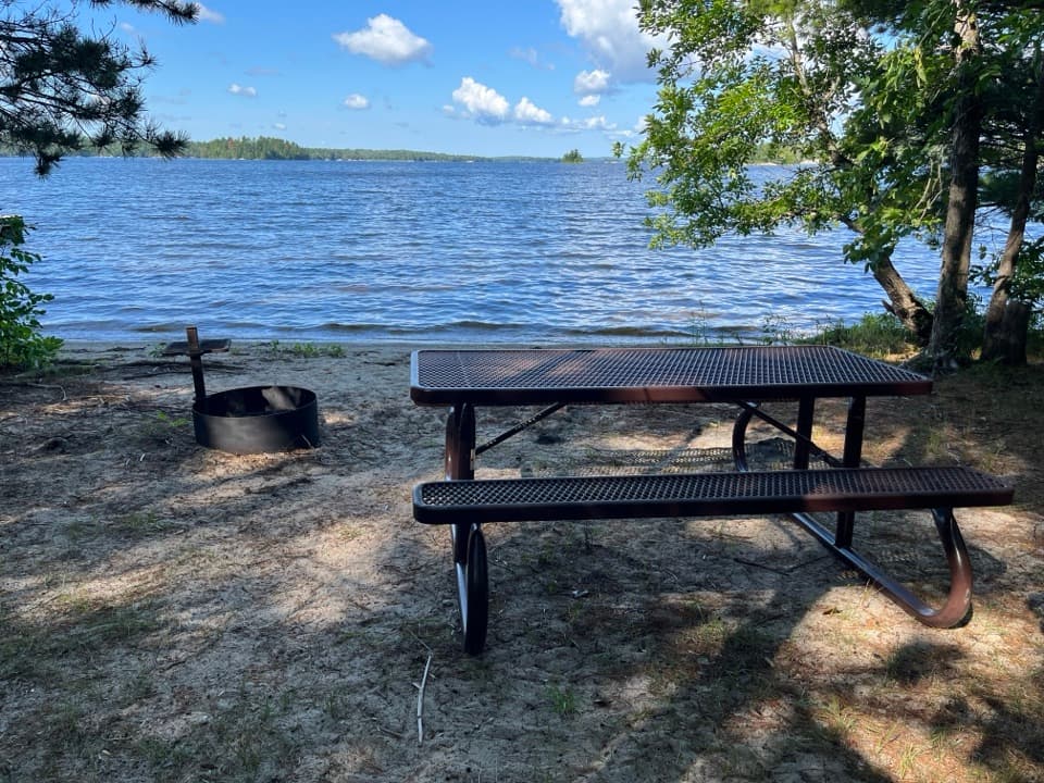 Round Bear Island Day-Use AreaA sandy picnic landing for a boat break on Kabetogama Lake.
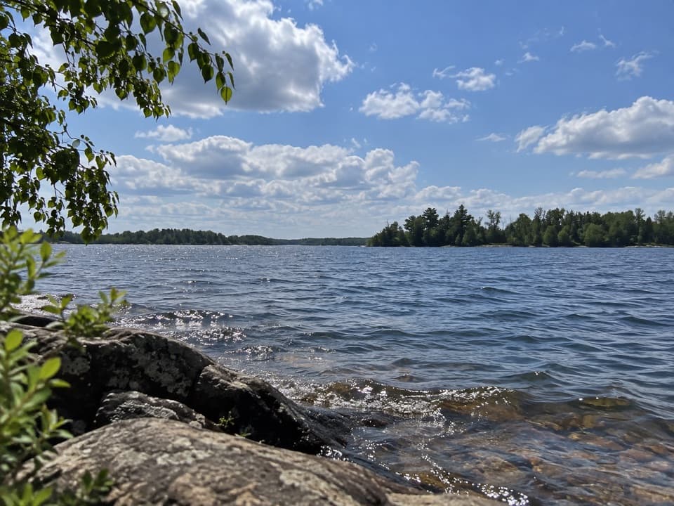 Martin Island Day-Use AreaA simple picnic pause on Kabetogama's island shoreline.
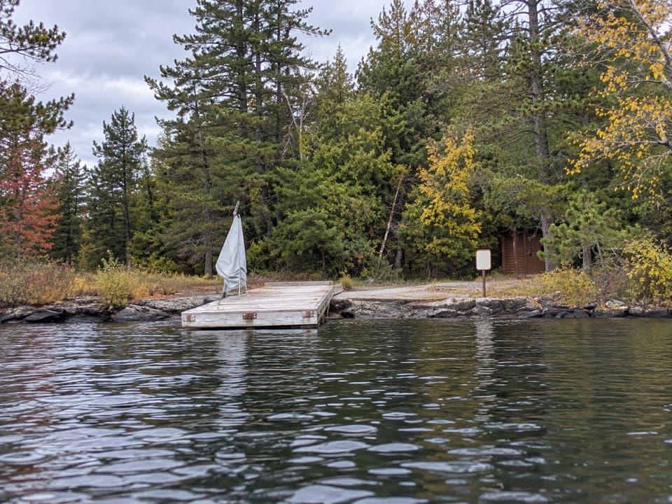 Little Cedar Island Day-Use AreaA boat-in picnic stop on Rainy Lake beside a floating dock.
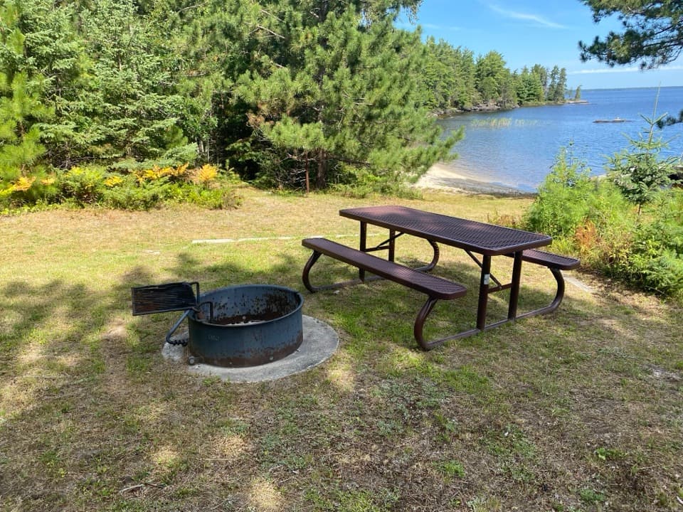 Emerald Bay West Day-Use AreaA Rainy Lake landing for a picnic between boat runs.
 Junction Bay South Day-Use AreaA Namakan picnic stop with tables, a fire ring and a privy.
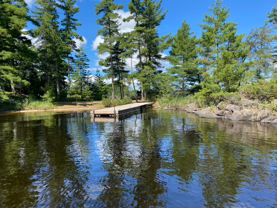 Saginaw Bay East Day-Use AreaA simple sandy landing for a Rainy Lake picnic.
 Houska Island Day-Use AreaA no-fuss Rainy Lake picnic stop for boaters.
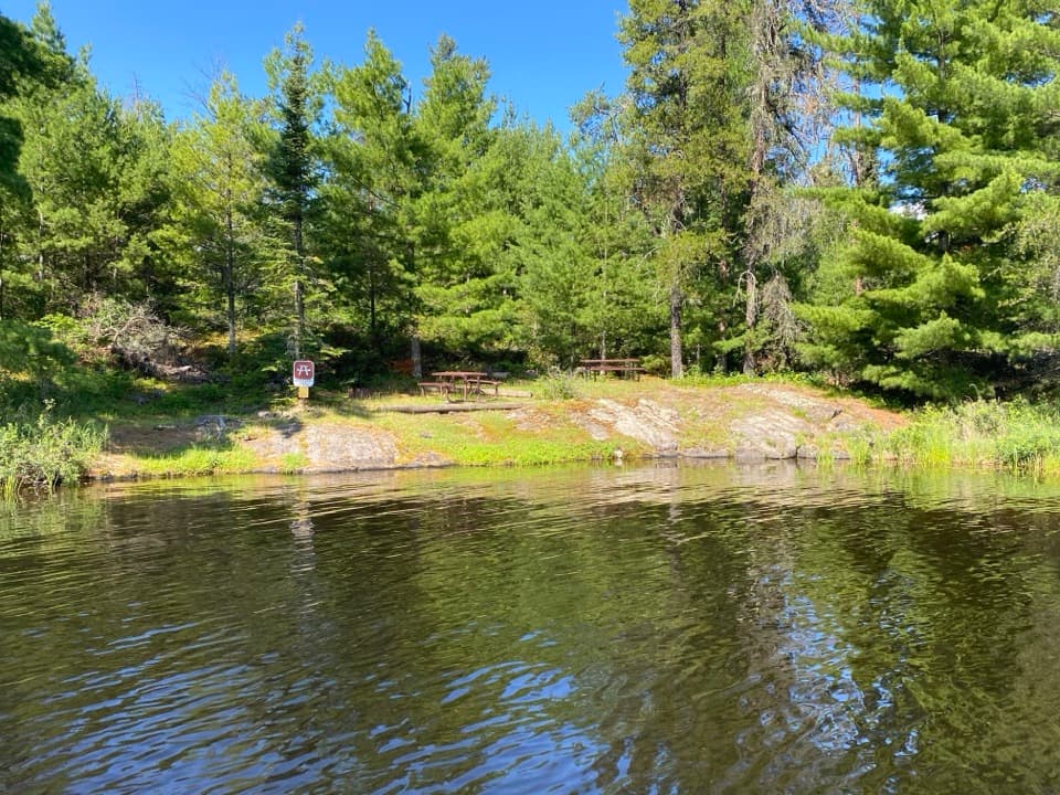 Soboleski Bay North Day-Use AreaA rocky Rainy Lake landing for a table-side picnic.
 Lost Bay West Day-Use AreaA dockside picnic break on Rainy Lake.
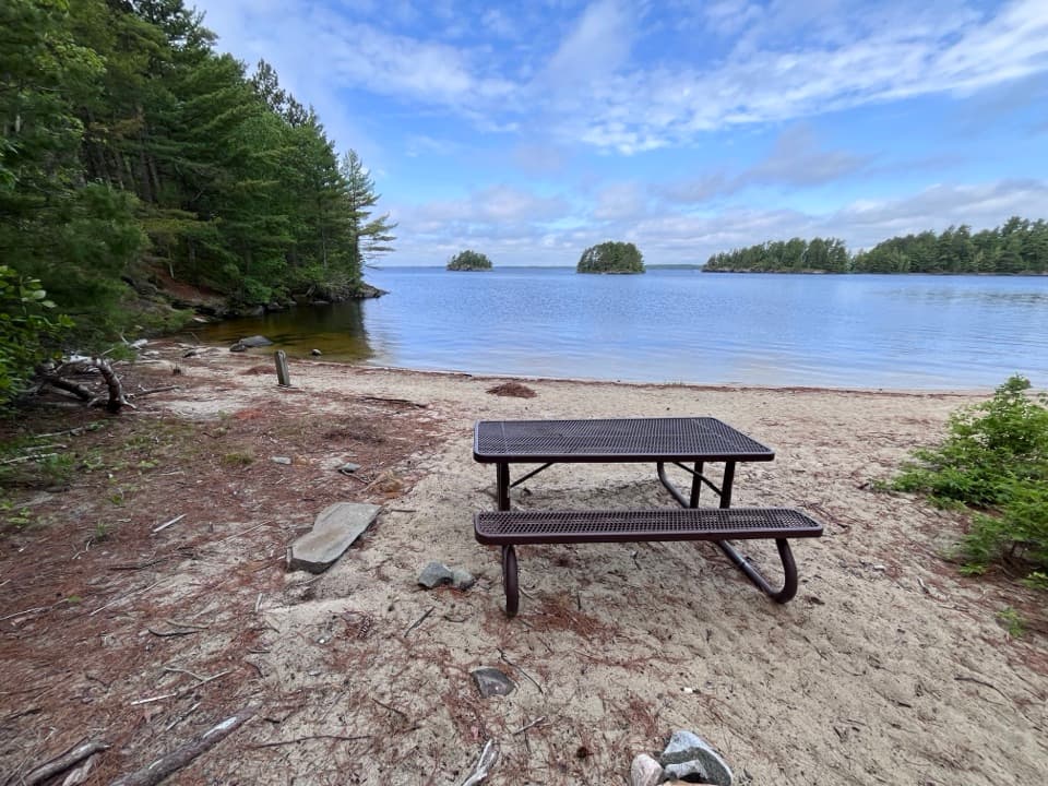 My Island North Day-Use AreaA sandy landing for a picnic break on Namakan Lake.
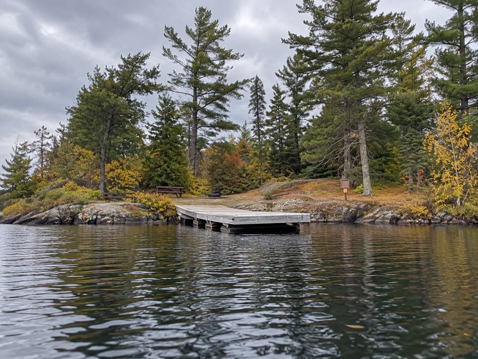 Drywood Island Day-Use AreaA simple picnic landing on Voyageurs' Rainy Lake.
 Harrison Bay East Day-Use AreaA simple picnic break on Rainy Lake, reached by boat.
 21Ash River Entrance SignA roadside Ash River marker, distinct from the larger park-name sign.

The highest, rockiest slopes around here are a summer buffet for grizzly bears.
Voyageurs Tour Guide
Voyageurs, narrated.
Parkwolf is a GPS audio tour guide for Voyageurs National Park. As you drive, it chimes in with what’s ahead: hidden gems, upcoming stops, history, geology, and wildlife, right through your car’s speakers.
Recorded for this place
Rainy Lake Visitor Center and Garden0:00 / 0:34
“You’re coming up on Rainy Lake Visitor Center, a good stop for exhibits, ranger advice, and a walk beside Black Bay.”
Plays as you drive up to Rainy Lake Ethnobotanical Garden in the Parkwolf Voyageurs Tour Guide.
More stories near here in the app
- The Garden That Grass Took Over
- Water Bound for Hudson Bay
- 29 audio storiesacross Voyageurs’s roads, triggered by GPS as you drive
- Wildlife heatmapsfor Gray Wolf, Moose, Bald Eagle, and 13 more
- Works offlinemaps, 19 trails, 49 places, and audio download before you lose signal
- CarPlay readysimple controls built for the drive
“Fantastic app with many points of information… It’s great to just turn on while you’re driving and it gives you an audio tour of the national Park. We love it!!!!”

