Parking
Working farm access at Nethergill Farm, Oughtershaw, BD23 5JS. Contact the farm before setting out to confirm where visitors may park, then walk from the farmhouse/Nature Barn without blocking farm access.
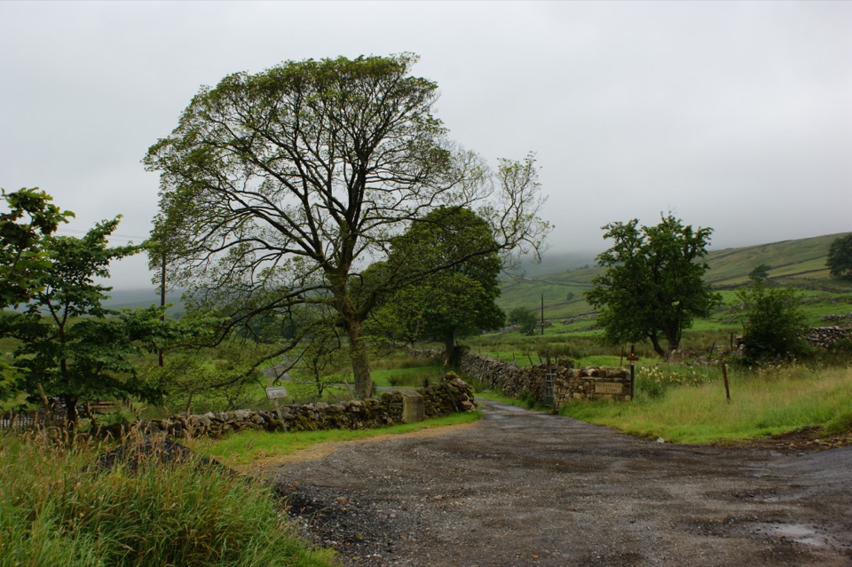
Yorkshire Dales National Park, EN
Twelve-stop loop past beck, bog and woods on a working hill farm
Overview
The stops follow a logical story as you climb and loop back:
 Parkwolf’s verdictThe sequence and the payoff
Map & elevation
Plan your hike

The highest, rockiest slopes around here are a summer buffet for grizzly bears.
Yorkshire Dales Tour Guide
Parkwolf is a GPS audio tour guide for Yorkshire Dales National Park. As you drive, it chimes in with what’s ahead: hidden gems, upcoming stops, history, geology, and wildlife, right through your car’s speakers.
Recorded for this area
The Otter’s Message“At the bridge on Nethergill Farm's walking trail, the flat stones by the piers may carry dark otter spraint.”
Plays on the road 2 km from the trailhead in the Parkwolf Yorkshire Dales Tour Guide.
More stories near here in the app
“Fantastic app with many points of information… It’s great to just turn on while you’re driving and it gives you an audio tour of the national Park. We love it!!!!”


Trail guide
A short circular self-guided trail around Nethergill Farm at Oughtershaw, starting and finishing at the farmhouse on the Dales Way. It runs about 2.7 km / 1.7 miles with twelve numbered stops. This is a short educational farm nature walk, not a fell hike, and it is unusually good for understanding how a Dales hill farm manages water, peat, woodland and waders.
Modest but real. Elevation along the route rises from roughly 370 m near the beck to about 430 m at the highest ground, so expect a steady pull up to the Moss and a clear descent back. Underfoot is farm and moorland ground, not surfaced path: rough grass, tussocks, and wet peat that stays soft long after dry weather. There is one marked stile near the woodland section, so the loop is not step free and is not suitable for wheels or buggies. Boots with ankle support are the sensible choice.
This is a working private farm, and the trail exists because the farm chooses to share it. Contact the farm before you set out to confirm that the trail, hides and Nature Barn are available, where you may park, and whether dogs are acceptable on the day. Park only where you are told you may. Inside the Nature Barn there is DIY tea, coffee and flapjack on an honesty system, so pay what you owe. Take the trail guide with you and leave it in the Hayloft afterwards so the next visitor can use it. Close gates behind you, do not climb walls, and keep clear of farm machinery and stock.
Good for families with confident walkers, birders, and anyone interested in peat restoration and upland farming. Less good if you want distance, big summits or an all weather surface. Many visitors combine it with a stretch of the Dales Way, which passes the farm, if they want to add mileage on a clearer line.
The payoff is the high point: you can see the whole farm system laid out and understand what the earlier stops were about.
Wildlife
 10 sightingsEurasian OtterMost seen around 7 PMSighting map
 11 sightingsAtlantic SalmonMost seen around 7 AMSighting map
 12 sightingsShort-eared OwlMost seen around 7 PMSighting map
 22 sightingsWestern Barn OwlMost seen around 6 AMSighting map
 27 sightingsTawny OwlMost seen around 7 PMSighting map
 34 sightingsCommon KingfisherMost seen around 7 AMSighting map
Sighting maps show where each species has been reported across Yorkshire Dales. Wildlife moves, so no sighting is guaranteed.
Keep exploring
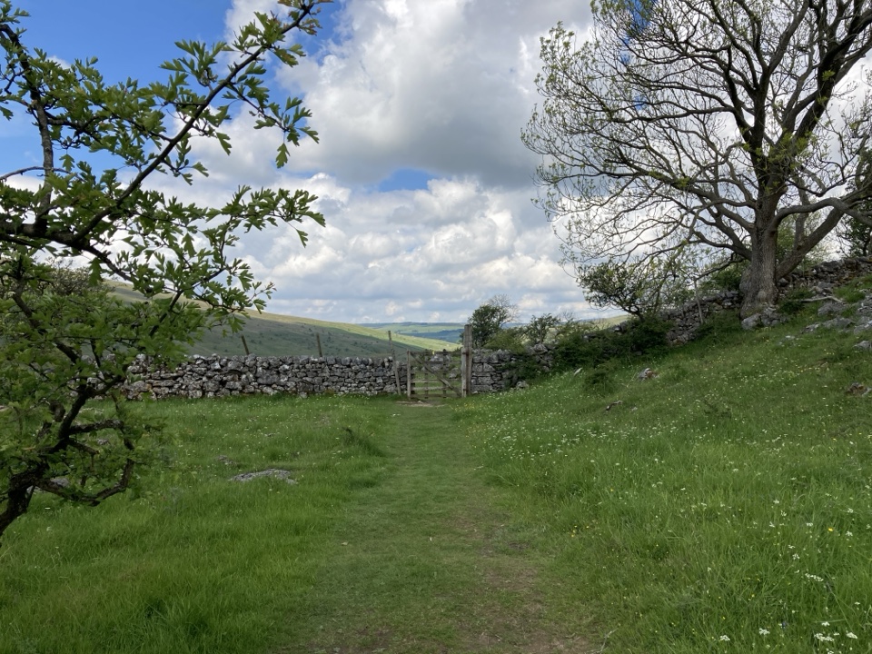 ModerateYockenthwaite to Cray Walk9.7 km · 2.5 hr · 5.3 km awayLimestone pavement, hay meadows and riverside paths above Upper Wharfedale
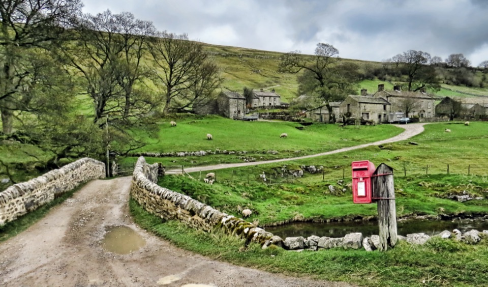 EasyDiscover Langstrothdale Valley Trail3.2 km · 1.5 hr · 5.3 km awayRiverside loop past a Bronze-Age stone circle, limekiln and cave waterfall
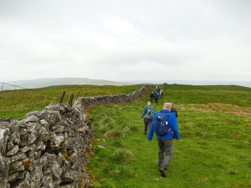 ChallengingHorse Head Moor and Deepdale Walk11.1 km · 3.5 hr · 5.6 km awaySteep 1,000ft climb to a moorland trig point, then a riverside return
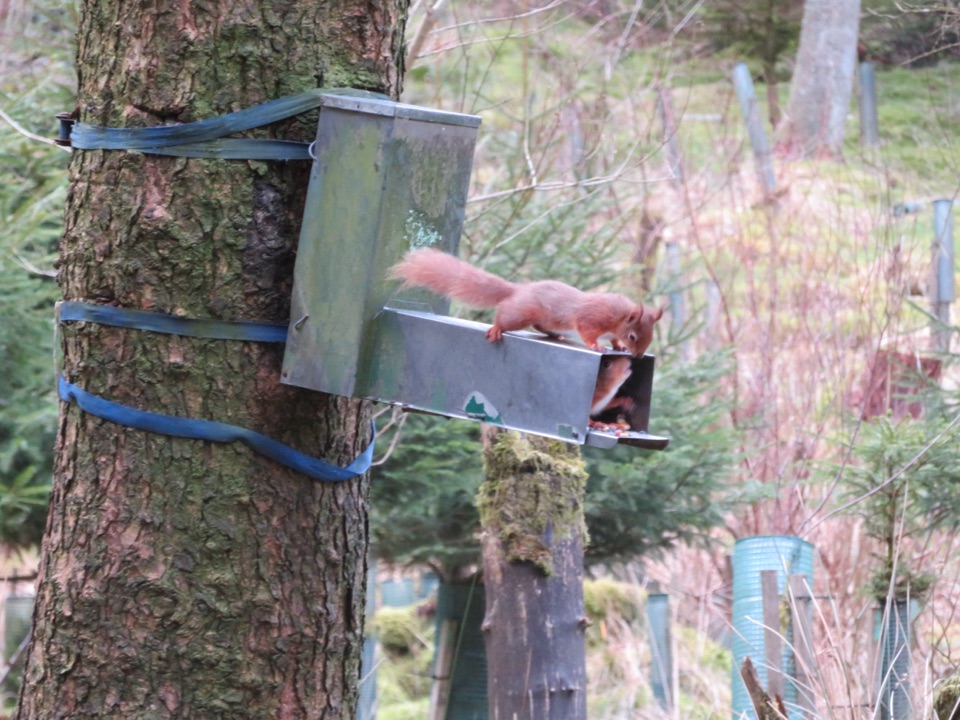 ModerateSnaizeholme Red Squirrel Trail4 km · 2 hr · 6.4 km awaySteep, muddy and worth it for a chance of red squirrels
 ModerateHawes Mosaic Walk17.4 km · 4.8 hr · 7.8 km awayHunt 20 wall-set mosaics on a long Upper Wensleydale village loop
 ModerateHawes to Sedbusk Circular5.6 km · 1.8 hr · 7.8 km awayHay meadows, field barns and a packhorse bridge on a short loopModerateHawes and Aysgill Force6.4 km · 2.5 hr · 7.8 km awayCobbled lanes and steep steps to a gorge waterfall above Gayle
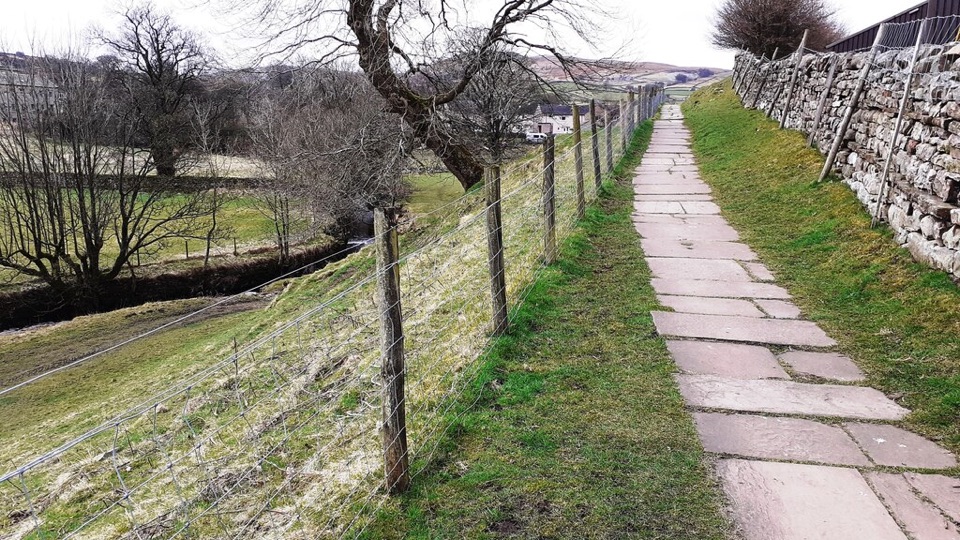 EasyHawes Accessible Walk1.5 km · 45 min · 7.8 km awayCobbled climb, then stone flags along Gayle Beck toward pasture views
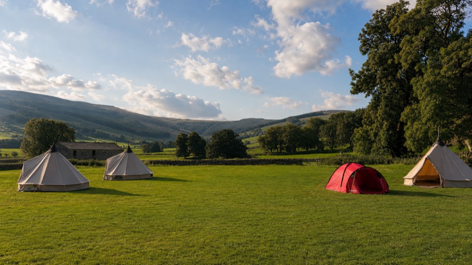 Campground · 5.6 km awayStablefell Holidays and CampsiteTent-only meadow pitches with firepits, no signal, walk to Semerwater
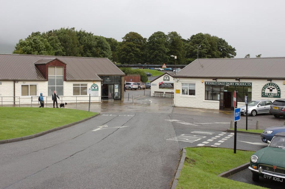 Sight · 7.5 km awayWensleydale Creamery Visitor CentreWatch Wensleydale cheese made by hand, then taste the full range
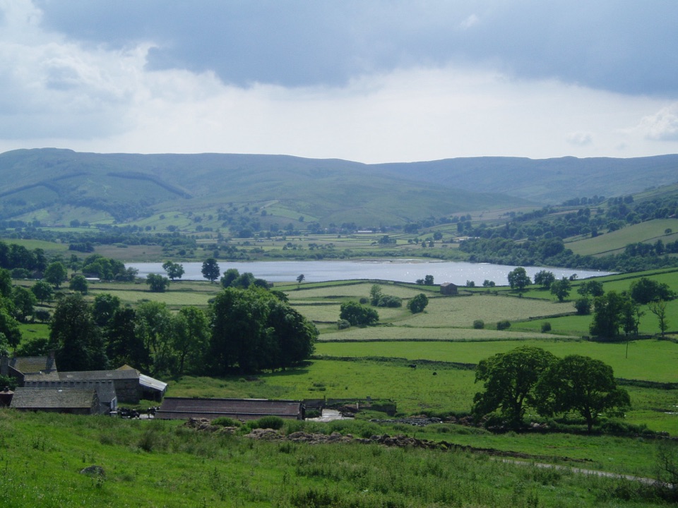 Sight · 7.6 km awaySemerwaterOne of only two natural lakes in the national park, glacier-made
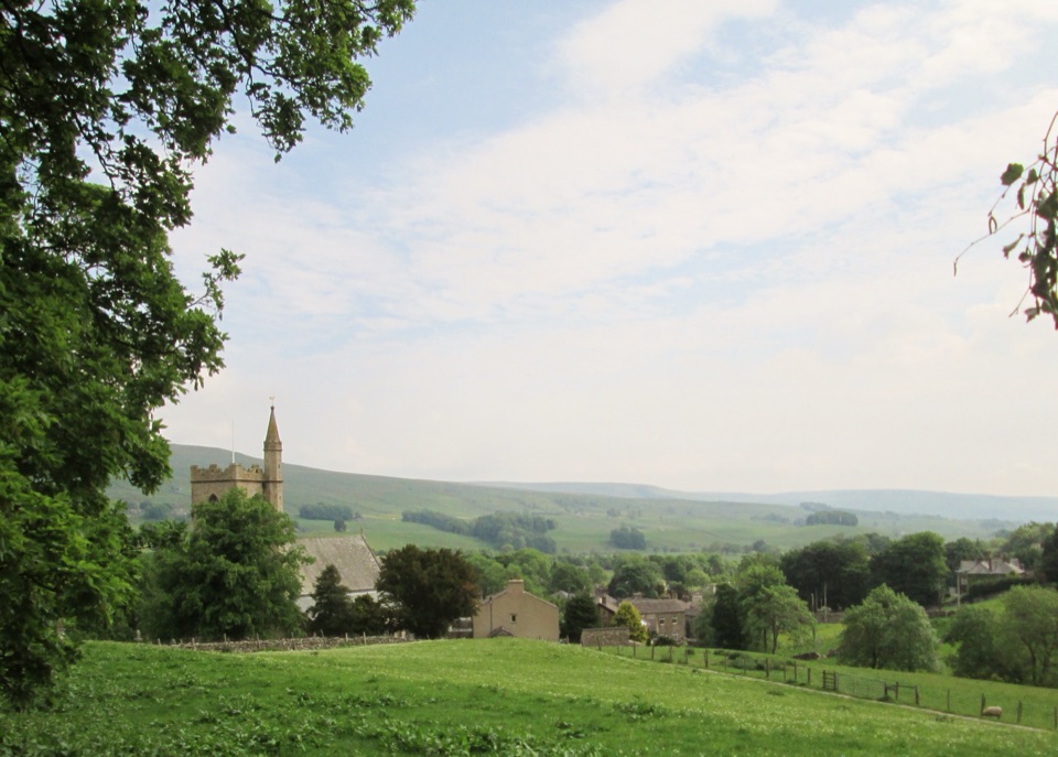 Sight · 7.7 km awayHawesHawes: working Wensleydale market town, cheese and walkers' crossroads
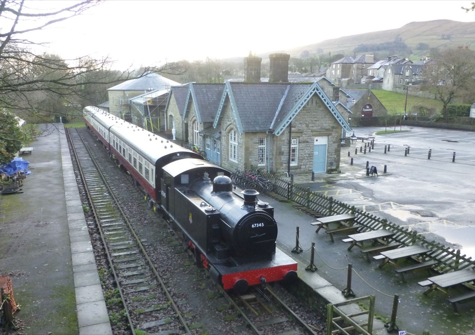 Sight · 7.8 km awayDales Countryside Museum & Hawes National Park CentreA Victorian station turned museum of Dales life, farming and railways
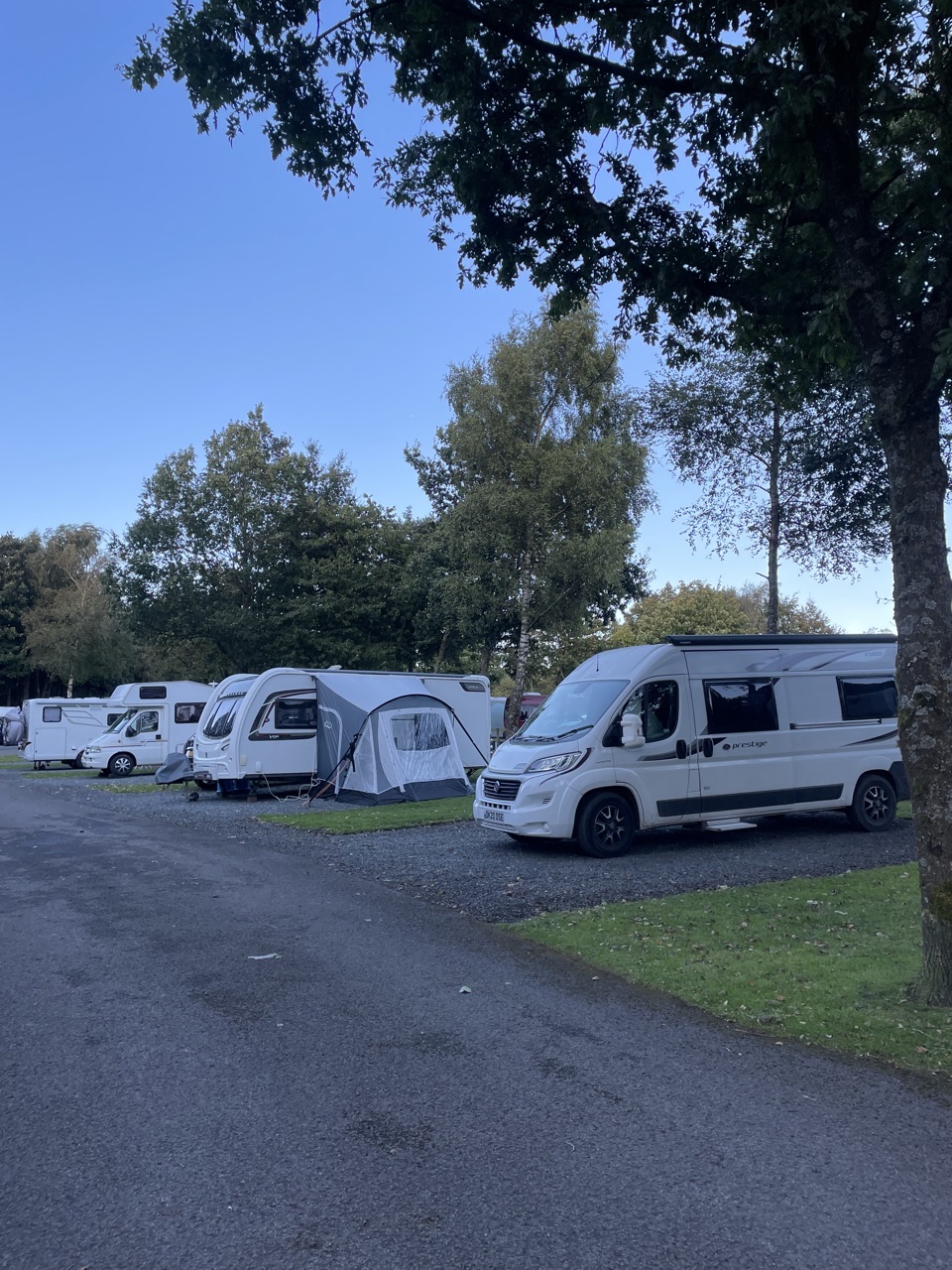 Campground · 8.2 km awayHawes Caravan and Motorhome Club CampsiteMembers-only touring base a ten-minute walk from Hawes market town
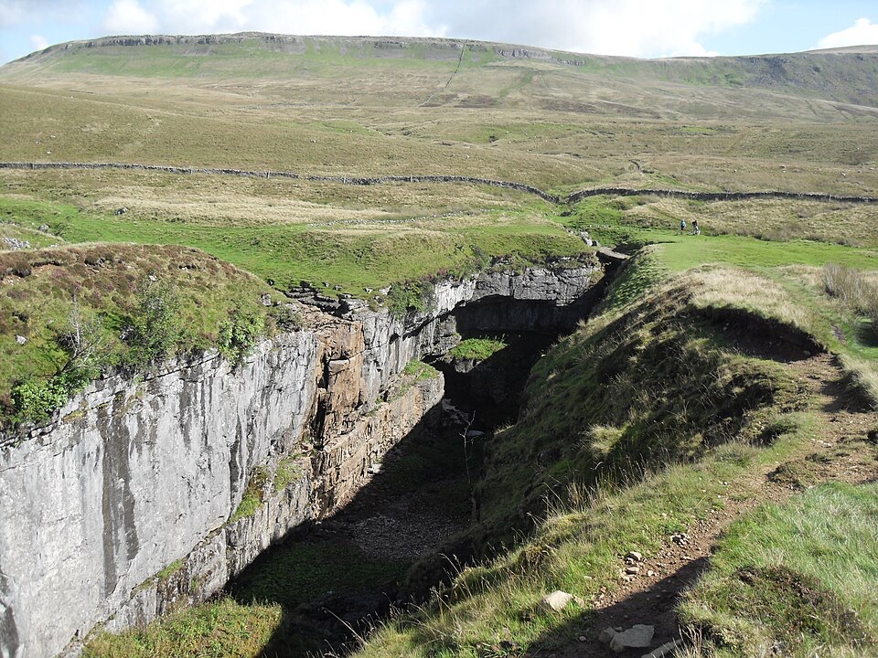 Sight · 8.5 km awayHull PotWalk in to a deep limestone chasm where a cavern collapsed
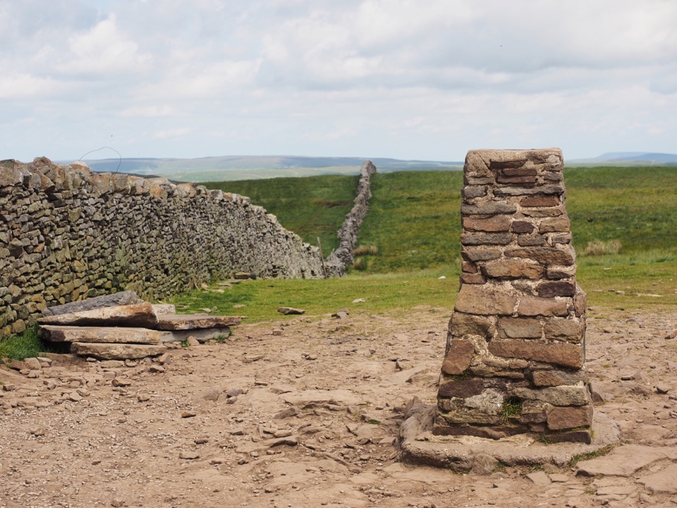 Sight · 9.1 km awayPen-y-ghent SummitStepped lion-shaped summit with a rocky scramble and huge Dales views
Parkwolf’s Yorkshire Dales ranking
The audio tour guide for the drive, plus offline maps, trails, and wildlife heatmaps for when the signal drops.





