Parking
This one-way walk starts at Schneibsteinhaus (about 1,670 m) and ends at Königssee. Plan how you will reach the hut and get back from the valley; parking details for the hut approach were not established.
Berchtesgaden National Park, BY
A limestone summit hike with a long descent to Königssee.
Overview
Map & elevation
Plan your hike

The highest, rockiest slopes around here are a summer buffet for grizzly bears.
Berchtesgaden Tour Guide
Parkwolf is a GPS audio tour guide for Berchtesgaden National Park. As you drive, it chimes in with what’s ahead: hidden gems, upcoming stops, history, geology, and wildlife, right through your car’s speakers.
Recorded for this area
Hinterbrand: Pasture Walk or Alpine Circuit“You're approaching Hinterbrand, a starting point for mountain walks above Königssee.”
Plays on the road 2.9 km from the trailhead in the Parkwolf Berchtesgaden Tour Guide.
More stories near here in the app
“Fantastic app with many points of information… It’s great to just turn on while you’re driving and it gives you an audio tour of the national Park. We love it!!!!”


Trail guide
This is an 8.1-mile (13 km) point-to-point mountain hike from Schneibsteinhaus to Königssee. It climbs to Schneibstein at 2,276 m, retraces the summit path to the hut, then drops to Königsbachalm and follows Hochbahnweg into the valley. The listed walking time is about six hours, with 609 m of ascent and a much larger 1,669 m descent. Go for a high alpine summit day and a long valley finish; this is not a short summit return. Arrange your access and pickup as a one-way trip.
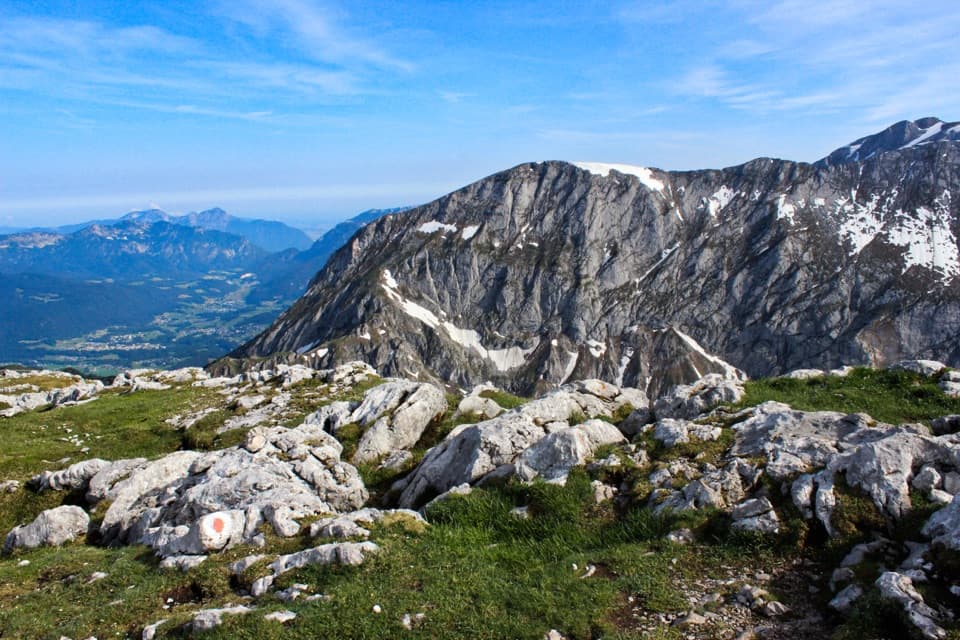
From Schneibsteinhaus, follow the marked route toward Carl-von-Stahl-Haus and then the red-white 416 trail. The opening ridge climbs through mountain pine before steepening into rocky lanes. The small karst plateau called Blumengarten sits above Teufelsgemäuer; beyond it, two rough rock steps curve left toward the broad northwest ridge. Expect a real change from scrubby trail to broken, uneven rock as you gain height.
The summit section is only part of the longer itinerary: after reaching the broad top, turn back the way you came to Schneibsteinhaus before starting the valley descent. At 2,276 m, Schneibstein gives a wide view across the Berchtesgaden Alps. The pale limestone and red-white route marker make useful foreground for the panorama.
Back at the hut, the route continues down a broad track to Königsbachalm, then follows Hochbahnweg to Königssee. That 1,669 m of total descent is the main physical cost of the day, especially after the rough summit climb. The route finishes in the valley at about 607 m, so plan for tired legs at the far end.
Schneibsteinhaus is a high mountain hut at about 1,670 m, not a roadside trailhead. The route ends at Königssee, so sort out how you will reach the hut and get back from the valley before you start; a specific parking arrangement was not established. The hut is generally open May through October and in winter by request, but that is a hut schedule, not a trail-access calendar. Keep dogs on a lead and stay on marked paths.
Wildlife
 14 sightingsBearded VultureMost seen around noonSighting map
 29 sightingsGolden EagleMost seen around noonSighting map
 22 sightingsRed DeerMost seen around 6 PMSighting map
 131 sightingsAlpine ChamoisMost seen around 5 PMSighting map
 65 sightingsAlpine SalamanderMost seen around 11 AMSighting map
 63 sightingsAlpine MarmotMost seen around 9 AMSighting map
Sighting maps show where each species has been reported across Berchtesgaden. Wildlife moves, so no sighting is guaranteed.
Keep exploring
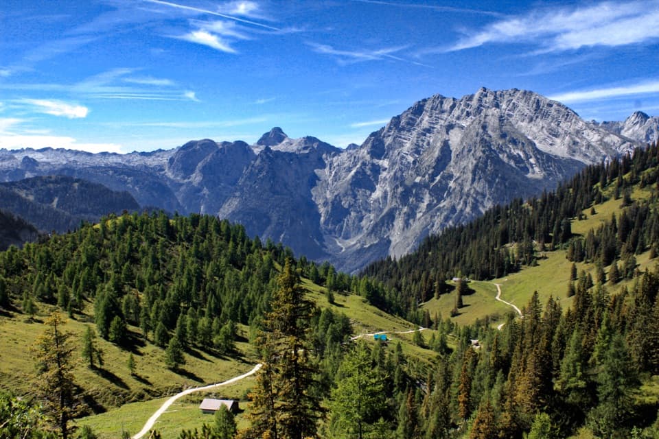 ModerateJenner to Königssee via Stahlhaus10 km · 4 hr · 1.2 km awayTwo alpine huts, then a long descent to Königssee
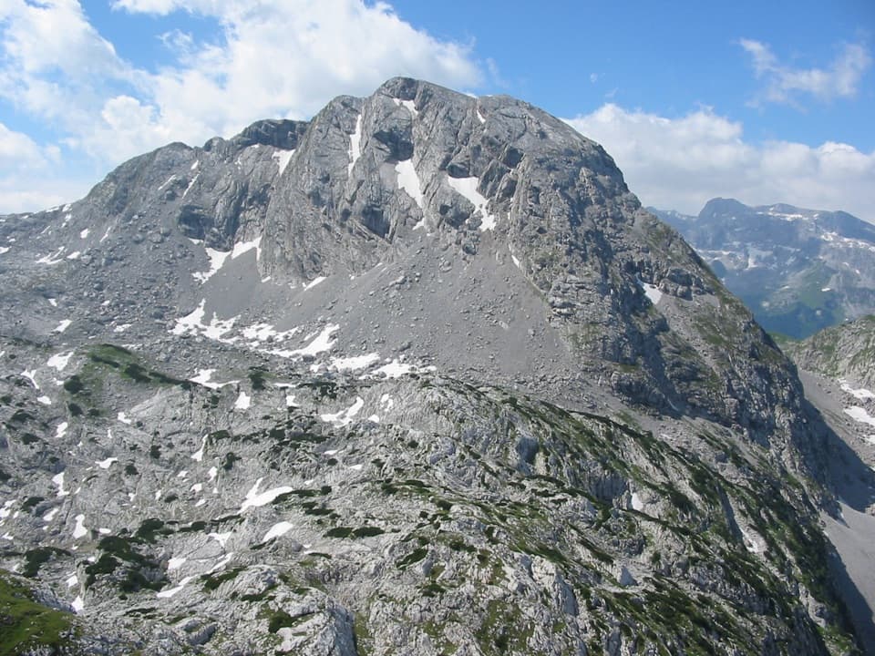 ChallengingKahlersberg via Mauslochsteig19.5 km · 9 hr · 2.8 km awayA full day to Kahlersberg, with a wire-secured west-wall climb.
 ChallengingKleine Reibn18.7 km · 9 hr · 2.8 km awayA long alpine loop over a summit plateau to a turquoise lake.
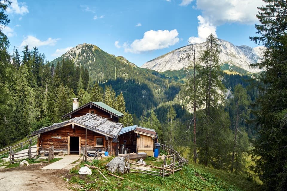 ModeratePriesbergalm via Königsweg11.7 km · 4 hr · 2.8 km awayAlpine meadows and the Watzmann’s East Face reward the climb.
 ChallengingHohes Brett Loop from Hinterbrand15.3 km · 8 hr · 2.9 km awayA hard alpine loop with cable-secured rock and a broad summit.
 ChallengingHoher Göll via Alpeltalsteig13 km · 7.5 hr · 2.9 km awayA full-day climb across limestone karst to a 2,522 m summit.
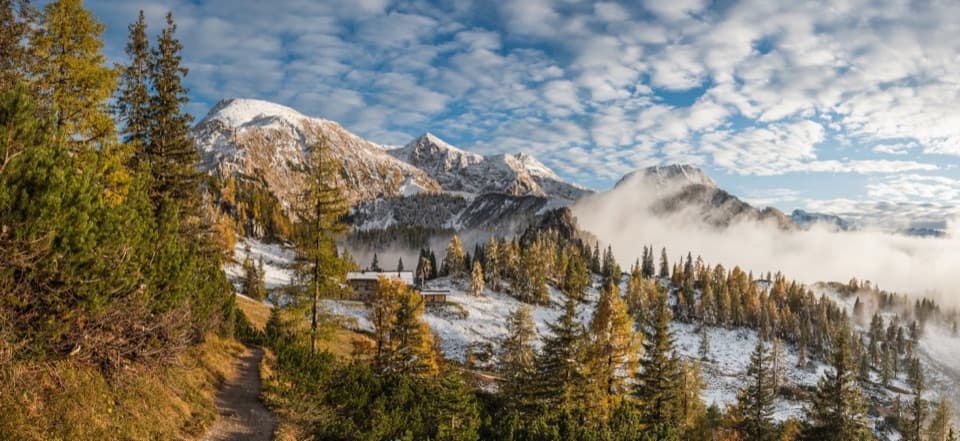 ChallengingSchneibsteinhaus Trail via Hochbahn14.7 km · 8.5 hr · 4 km awayA full-day climb from spruce forest to an alpine hut.
 ChallengingGroße Sommer-Reibn56.6 km · 1 days · 4 km awaySix days of huts, lakes and exposed passes in limestone country.
 Lodging · At the trailheadSchneibsteinhausA ridge-top refuge with a terrace facing the Watzmann East Face.
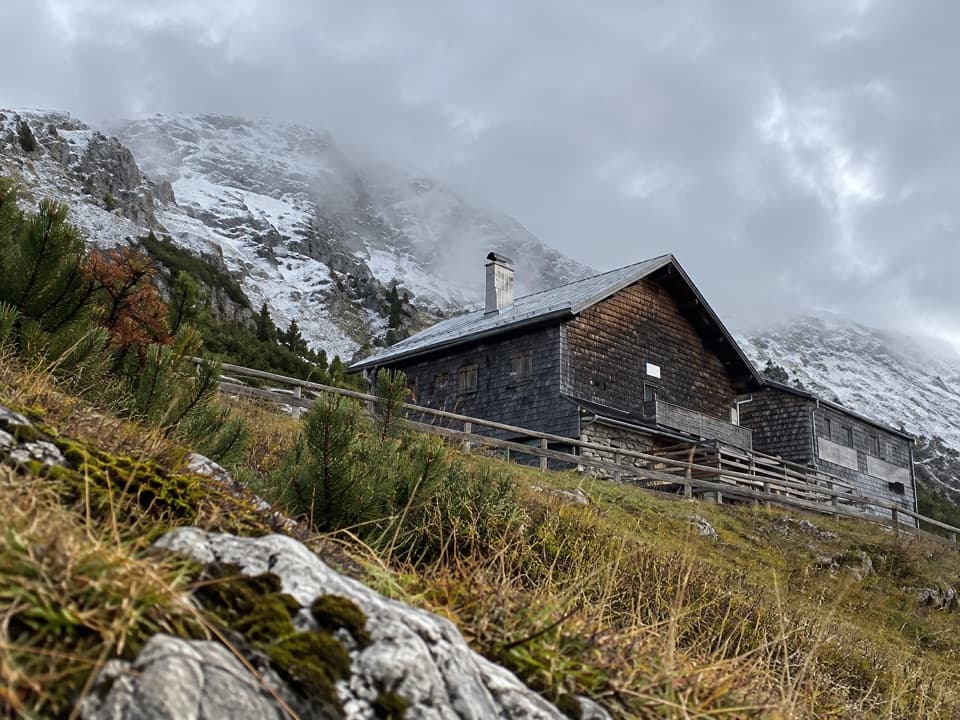 Lodging · 0.4 km awayCarl-von-Stahl-HausA high alpine refuge with big views and hearty regional food.
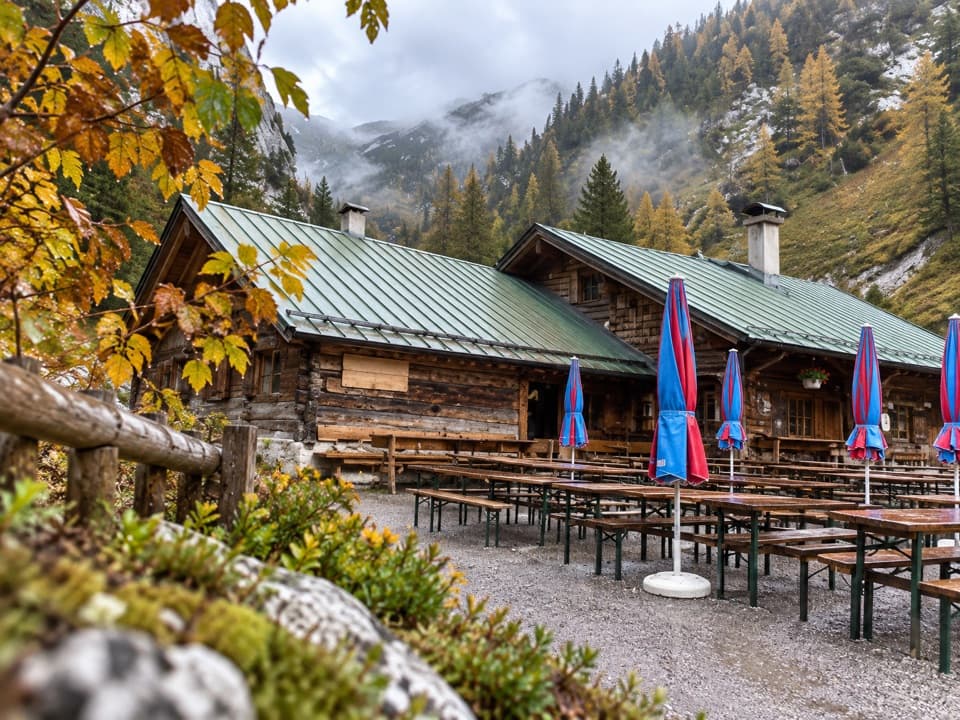 Restaurant · 1.1 km awayMitterkaseralm am JennerHomemade cakes and Bavarian snacks make this a good Jenner detour.
 Visitor center · 1.2 km awayJenner National Park Information PointA free, hands-on look at life in the rocky Alps.
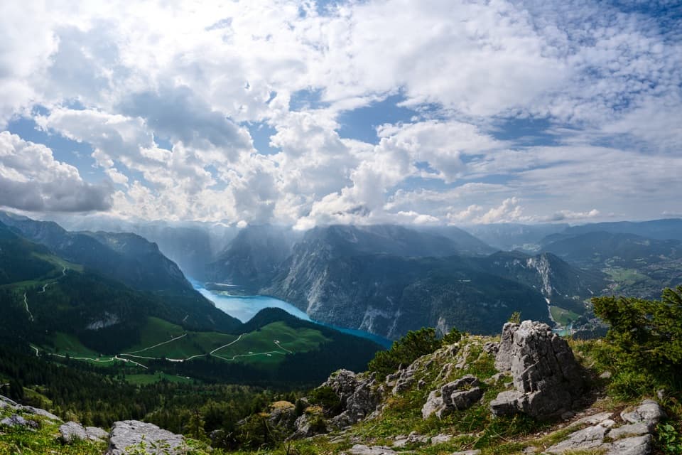 Sight · 1.5 km awayKönigsblick (Jenner Summit Viewpoint)A steep climb for a fjord-like view down Königssee.
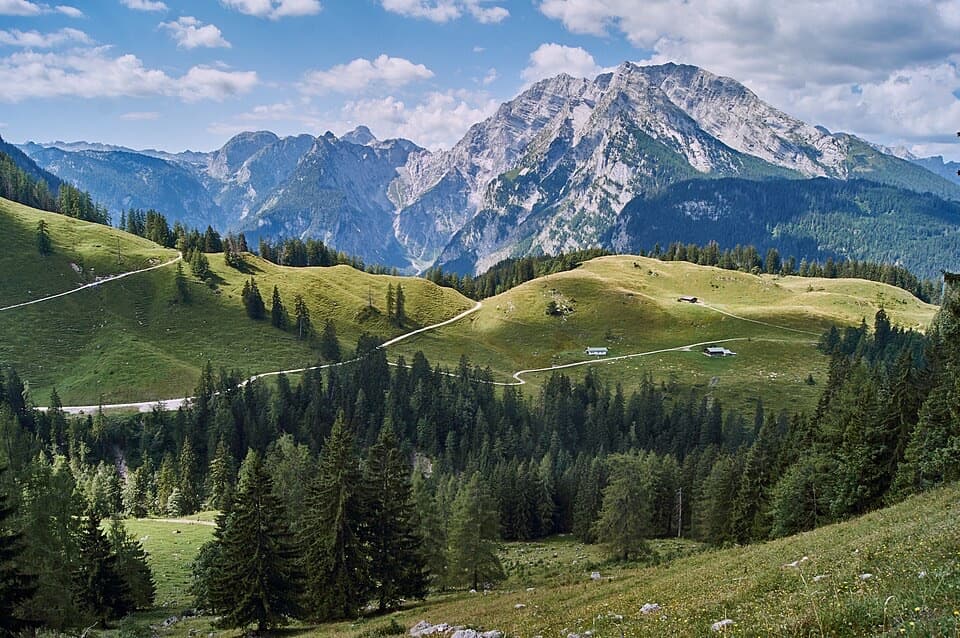 Restaurant · 2.1 km awayKönigsbachalmBreak up the Königssee climb with homemade cake at this alpine pasture.
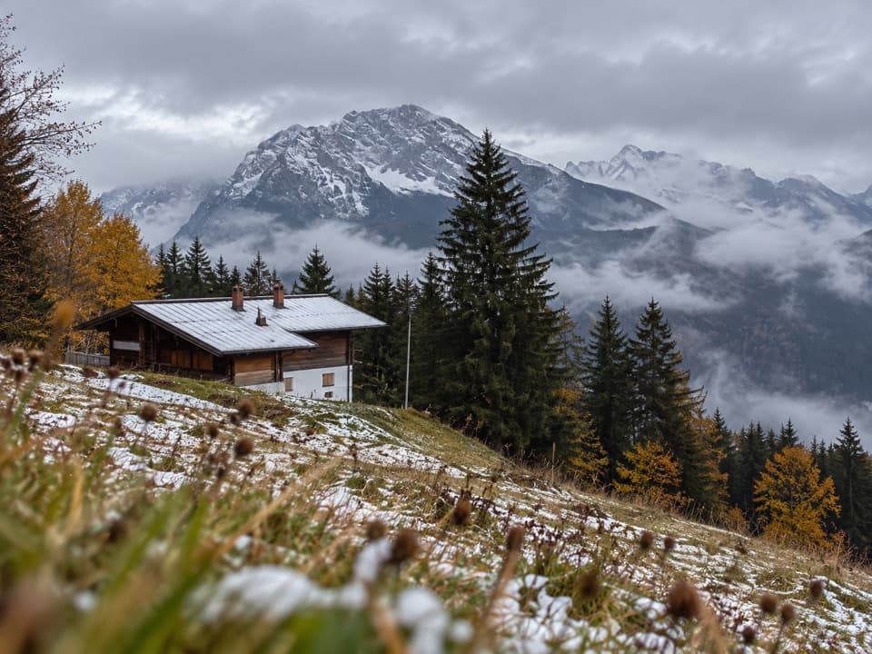 Restaurant · 2.2 km awayDr.-Hugo-Beck-HausWatzmann views reward the uphill walk to this Jenner hut.Restaurant · 2.7 km awayPriesbergalmCheese from a working pasture, under the Watzmann East Face.
Parkwolf’s Berchtesgaden ranking

The audio tour guide for the drive, plus offline maps, trails, and wildlife heatmaps for when the signal drops.




