Parking
Start at the end of Chester Road beside Chester Trail. A formal parking area and public vehicle access at this point have not been confirmed; check local signs and plan a return before setting out.

Blue Mountains National Park, NSW
A short bush track ends at a waterfall view from the escarpment.
Overview
Map & elevation
Plan your hike

The highest, rockiest slopes around here are a summer buffet for grizzly bears.
Blue Mountains Tour Guide
Parkwolf is a GPS audio tour guide for Blue Mountains National Park. As you drive, it chimes in with what’s ahead: hidden gems, upcoming stops, history, geology, and wildlife, right through your car’s speakers.
See the Blue Mountains audio tourRecorded for this area
Lincoln's Rock and Lincoln Hall“You're approaching the access for Lincoln's Rock, a broad sandstone ledge overlooking Jamison Valley. A short unpaved walk from the car park takes you onto the rock.”
Plays on the road 0.6 km from the trailhead in the Parkwolf Blue Mountains Tour Guide.
More stories near here in the app
“Fantastic app with many points of information… It’s great to just turn on while you’re driving and it gives you an audio tour of the national Park. We love it!!!!”


Trail guide
Kings Tableland Walk to Rocket Point is a one-way bushwalk from the end of Chester Road to Rocket Point Lookout. The mapped core is about 1.2 km (0.7 mi) one way and takes roughly 45 minutes, following a dirt track through dry escarpment scrub to a close view of Wentworth Falls and the Jamison Valley. It is short, but the line does not return to Chester Road; retracing means climbing back to the tableland.
Follow Chester Trail to King's Tableland Intersection, then join Rocket Point Track and the short Rocket Point Circuit. The described route has about 800 m to the intersection and 450 m from there to the lookout; the mapped line is about 1.1 km. Other descriptions give 1.6 km one way to 35 Little Switzerland Drive, but that extra continuation is not established by the mapped track, so this route stops at Rocket Point.
The lookout faces the stepped sandstone wall of Wentworth Falls and the forested Jamison Valley. For a photo, keep the falling water and cliff wall in the frame; a tight crop loses the scale of the escarpment.
The described start is at the end of Chester Road beside Chester Trail. A formal car park or pickup point for this route has not been confirmed, so check local signs and plan your exit before setting out. The separate 2.4 km Rocket Point loop starts at Wentworth Falls picnic area, which has parking, toilets, picnic facilities and a kiosk; use that route's map for the picnic-area loop. Pets and domestic animals are not permitted in the national park, except certified assistance animals.
Wildlife
 58 sightingsGrey KangarooMost seen around 6 AMSighting map
 43 sightingsWombatMost seen around 6 PMSighting map
 18 sightingsRed-necked WallabyMost seen around 6 PMSighting map
 53 sightingsSwamp WallabyMost seen around 7 AMSighting map
 23 sightingsBrushtail PossumMost seen around 7 PMSighting map
 30 sightingsRing-tailed PossumMost seen around 7 PMSighting map
Sighting maps show where each species has been reported across Blue Mountains. Wildlife moves, so no sighting is guaranteed.
Keep exploring
 EasyPrinces Rock walking track0.8 km · 45 min · 1.3 km awayA short stepped walk reaches a historic lookout over Wentworth Falls.
 ChallengingWentworth Pass loop walking track5 km · 4.5 hr · 1.3 km awayCliff stairs, waterfalls and a rainforest climb back out
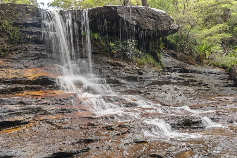 ModerateWeeping Rock circuit2 km · 1 hr · 1.3 km awayLookouts, steep steps and a creek waterfall on a compact loop.
 ChallengingNational Pass5.1 km · 3 hr · 1.3 km awayA cliffside stairway links sandstone ledges, waterfalls, and valley views.
 ModerateDen Fenella walking track1 km · 54 min · 1.4 km awayA short stairway into tree-fern rainforest and a creekside cascade.
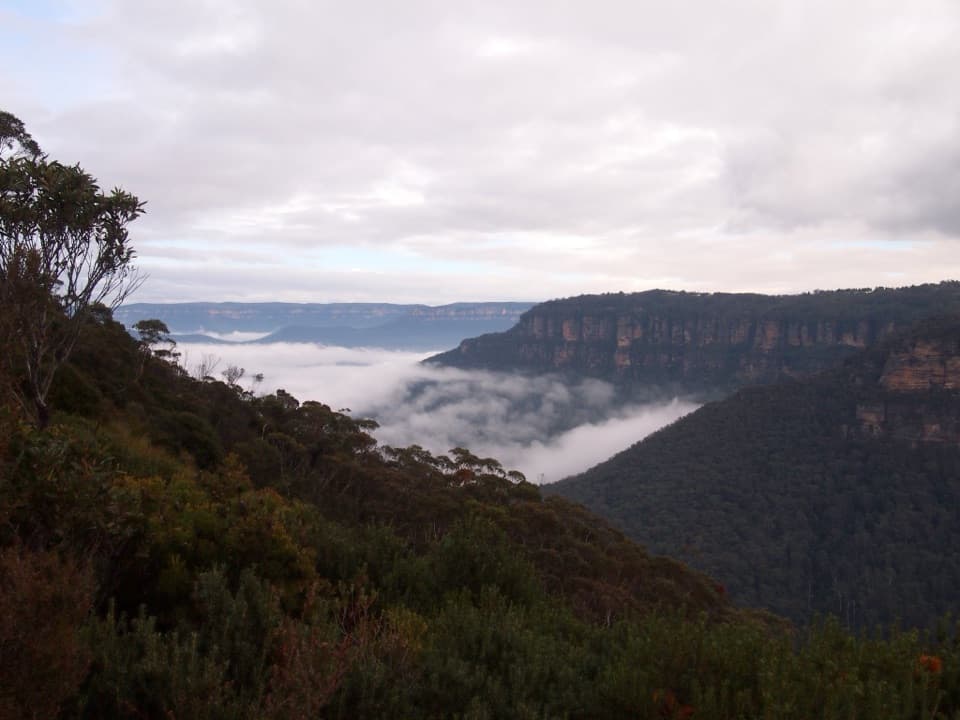 ModerateRocket Point lookout track2.4 km · 1.3 hr · 1.4 km awayStepping stones, a steep climb, and a close view of Wentworth Falls.
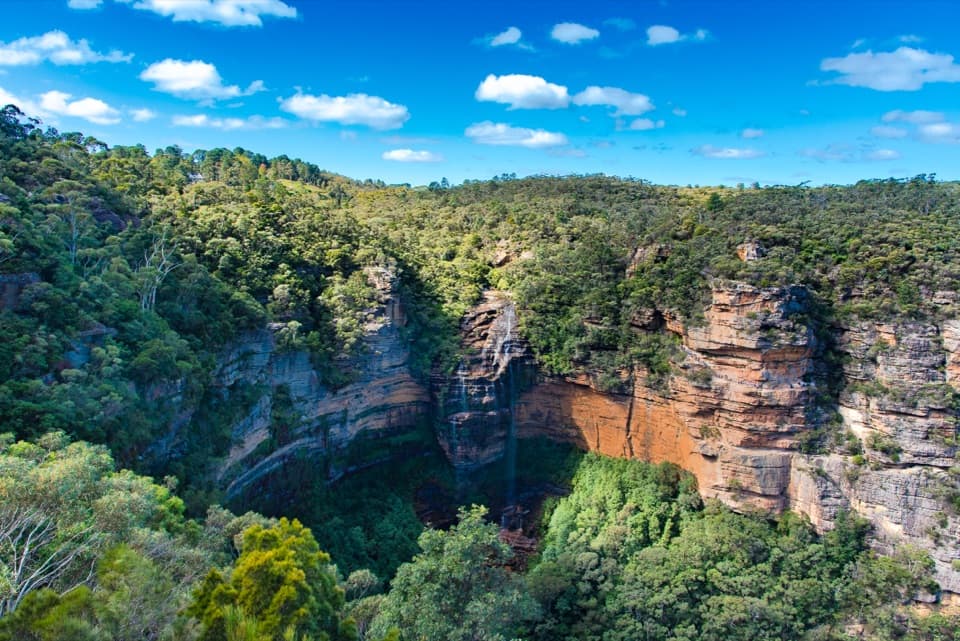 ModerateWentworth Falls track1.4 km · 53 min · 1.4 km awayShort, steep stairs lead to a 100-metre waterfall and valley views.
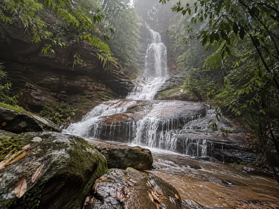 ModerateValley of the Waters Track1.1 km · 45 min · 2.1 km awayA steep, short return to a tiered waterfall in a ferny gorge.
 Sight · 0.8 km awayRocket Point lookoutA steep spur gives you a different angle on Wentworth Falls.
 Sight · 0.8 km awayWentworth FallsA 100-metre plunge rewards the steep walk down.
 Sight · 0.8 km awayWeeping RockA sandstone creek cascade tucked off the Wentworth Falls circuit.
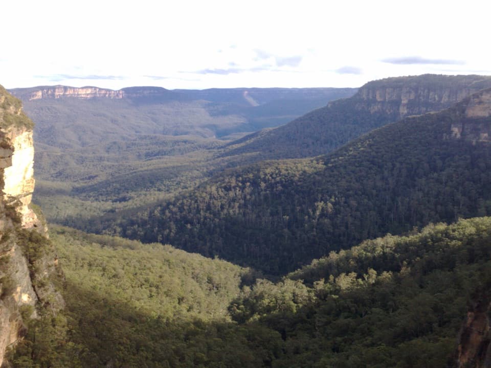 Sight · 0.9 km awayFletchers LookoutA 200-step descent gets you close to Wentworth Falls.
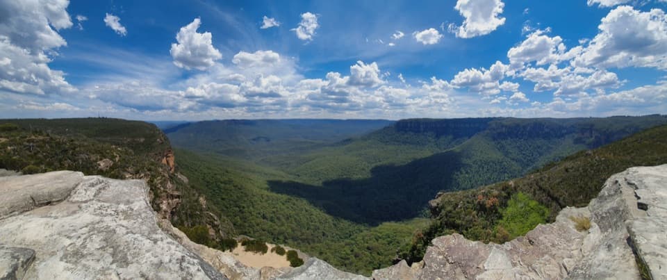 Sight · 1 km awayLincoln's RockBare sandstone, wide Jamison Valley views, and an exposed edge.
 Sight · 1 km awayPrinces Rock LookoutA close view of Wentworth Falls, reached by a stair-heavy track.
 Sight · 1.1 km awayWentworth Falls LookoutSandstone cliffs open onto the Jamison Valley.
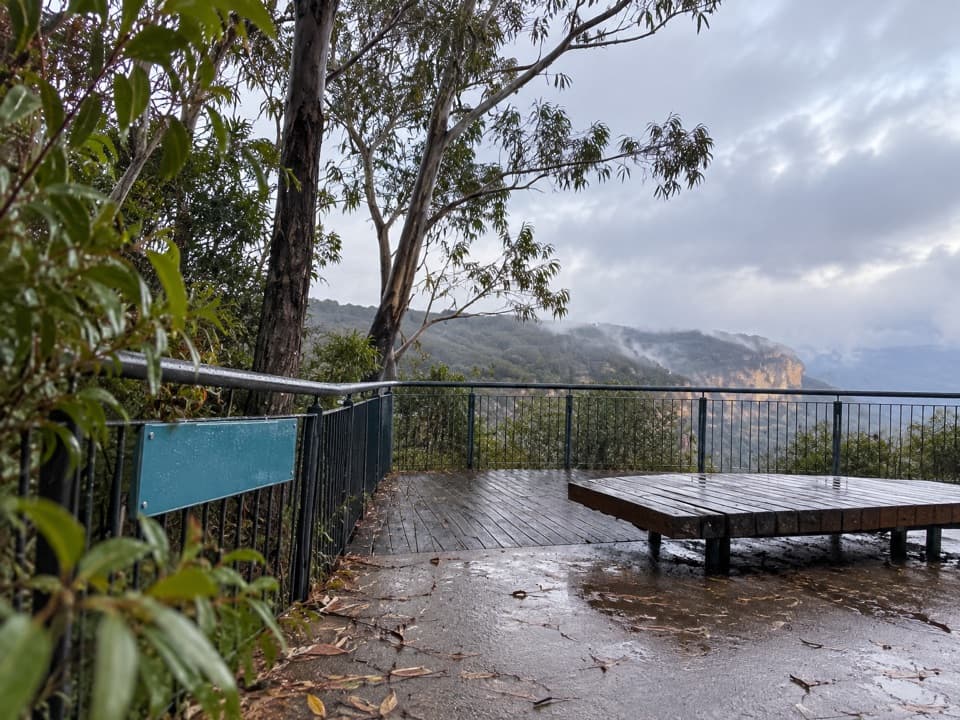 Picnic area · 1.3 km awayWentworth Falls picnic areaA picnic with Jamison Valley views and waterfall walks nearby.
Parkwolf’s Blue Mountains ranking

The audio tour guide for the drive, plus offline maps, trails, and wildlife heatmaps for when the signal drops.



