Parking
Mapped start: Fairmont Place turning circle off Sublime Point Road. Public parking and permission to use resort access have not been confirmed; verify legal access and parking before setting out.

Blue Mountains National Park, NSW
A steep loop through fern gullies and two historic passes.
Overview
Map & elevation
Plan your hike

The highest, rockiest slopes around here are a summer buffet for grizzly bears.
Blue Mountains Tour Guide
Parkwolf is a GPS audio tour guide for Blue Mountains National Park. As you drive, it chimes in with what’s ahead: hidden gems, upcoming stops, history, geology, and wildlife, right through your car’s speakers.
See the Blue Mountains audio tourRecorded for this area
The Shadow Above the Horizon“At a lookout after sunset, try facing east, away from where the sun went down. With a clear horizon, you may see a blue-grey band below a pink glow. The darker band is Earth's own shadow falling across the atmosphere.”
Plays near this trailhead in the Parkwolf Blue Mountains Tour Guide.
More stories near here in the app
“Fantastic app with many points of information… It’s great to just turn on while you’re driving and it gives you an audio tour of the national Park. We love it!!!!”


Trail guide
This compact 4.3 km loop descends through Gladstone Pass, follows a short link on Lindeman Pass, climbs out through Roberts Pass, then returns along the escarpment. It is a steep, challenging walk through a fern-filled gully; allow about 2–3 hours rather than treating the roughly 1 hour 45 minute map estimate as a promise. The saved line follows the short loop, not the longer variants.
Gladstone Pass follows a narrow creek-side gully beneath giant ferns and coachwood trees. The lower Lindeman section links it to Roberts Pass for the climb back to the ridge. These are historic escarpment routes that fell out of regular use before later restoration. Optional sidetracks to Gladstone Lookout and Moya Point add about 390 m combined and are not included in the stored distance.
The mapped start is at the Fairmont Place turning circle off Sublime Point Road. Public parking and permission to use resort access have not been confirmed; verify a legal access and parking option before setting out. Gladstone Pass is steep and poorly visible in places, with a short rocky section using a safety rope. Sure footing and confident route-finding are essential. Dogs and other pets are not permitted in the park.
Wildlife
 58 sightingsGrey KangarooMost seen around 6 AMSighting map
 43 sightingsWombatMost seen around 6 PMSighting map
 18 sightingsRed-necked WallabyMost seen around 6 PMSighting map
 53 sightingsSwamp WallabyMost seen around 7 AMSighting map
 23 sightingsBrushtail PossumMost seen around 7 PMSighting map
 30 sightingsRing-tailed PossumMost seen around 7 PMSighting map
Sighting maps show where each species has been reported across Blue Mountains. Wildlife moves, so no sighting is guaranteed.
Keep exploring
 EasyInspiration Point walking track2.5 km · 1.5 hr · 1 km awayTwo valley lookouts, with both Wentworth Falls drops in view.
 ModerateGordon Falls to Katoomba walk8 km · 3.5 hr · 1.4 km awayA cliffside crossing of waterfalls, sandstone steps and valley views.
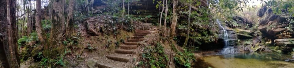 ModeratePool of Siloam walk1.6 km · 1 hr · 1.4 km awayA waterfall walk with steep steps and a creekside pool.
 ModerateLyrebird Dell walking track1.7 km · 1.1 hr · 1.4 km awaySteep stairs link Pool of Siloam’s waterfall to a sandstone cave.
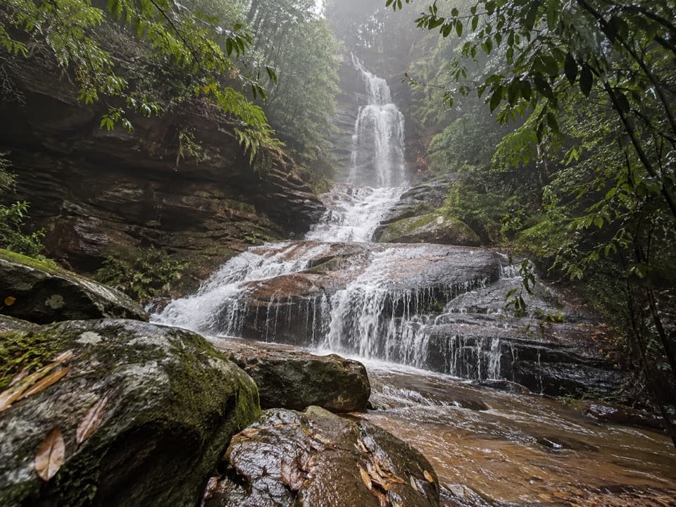 ModerateValley of the Waters Track1.1 km · 45 min · 1.5 km awayA steep, short return to a tiered waterfall in a ferny gorge.
 ModerateNature track3.3 km · 2 hr · 1.6 km awayShort Conservation Hut loop through fern gullies, falls and valley views.
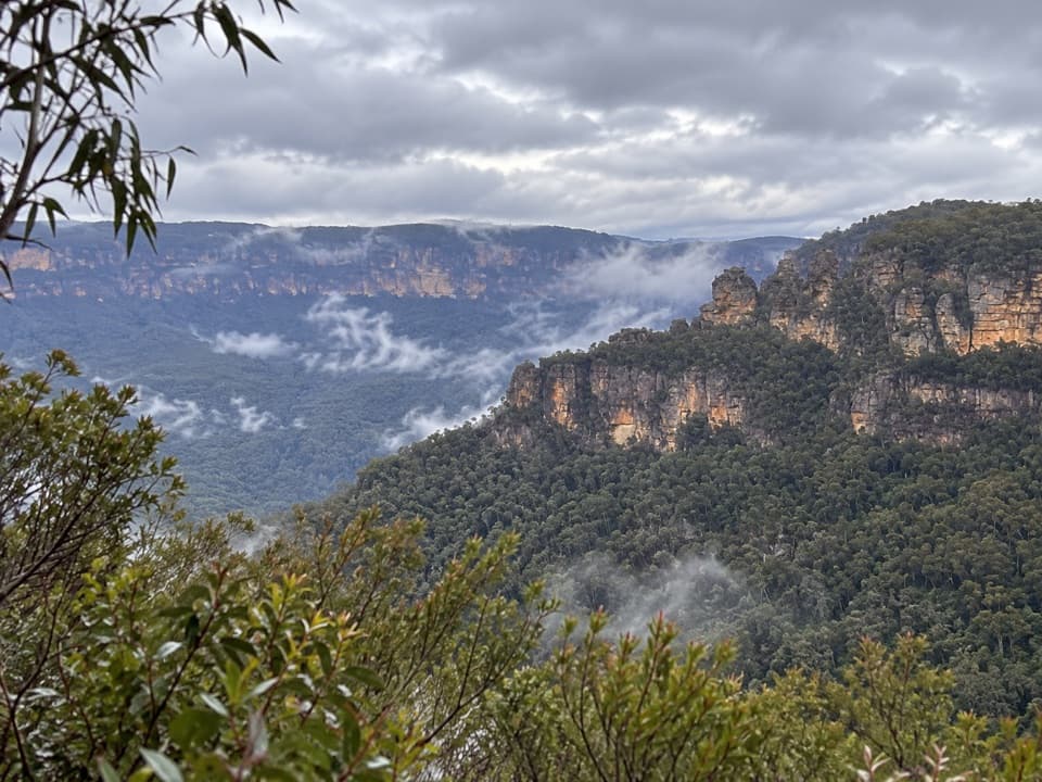 EasySublime Point Lookout Walk0.5 km · 30 min · 1.6 km awayA short walk ends at a big view across Jamison Valley.
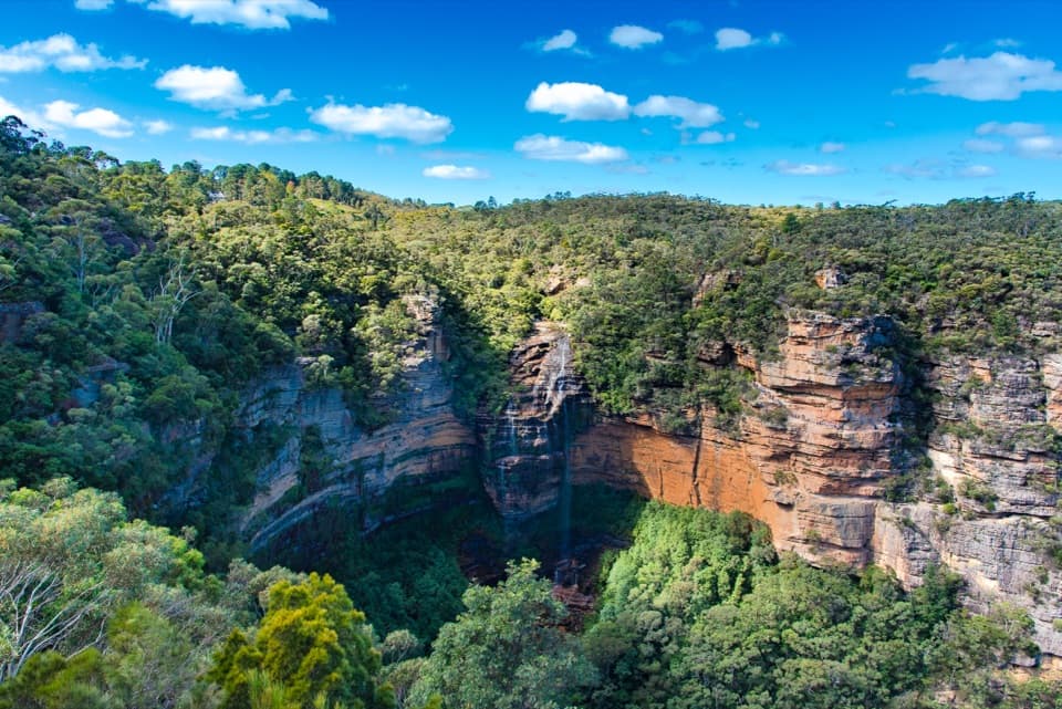 ModerateWentworth Falls track1.4 km · 53 min · 2.1 km awayShort, steep stairs lead to a 100-metre waterfall and valley views.
 Sight · 1 km awayPool of SiloamA shaded rainforest pool with a steep climb back out.
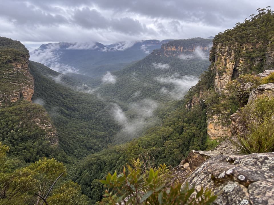 Sight · 1.1 km awayGolf Links lookoutA stair-heavy walk ends with a quieter Jamison Valley panorama.
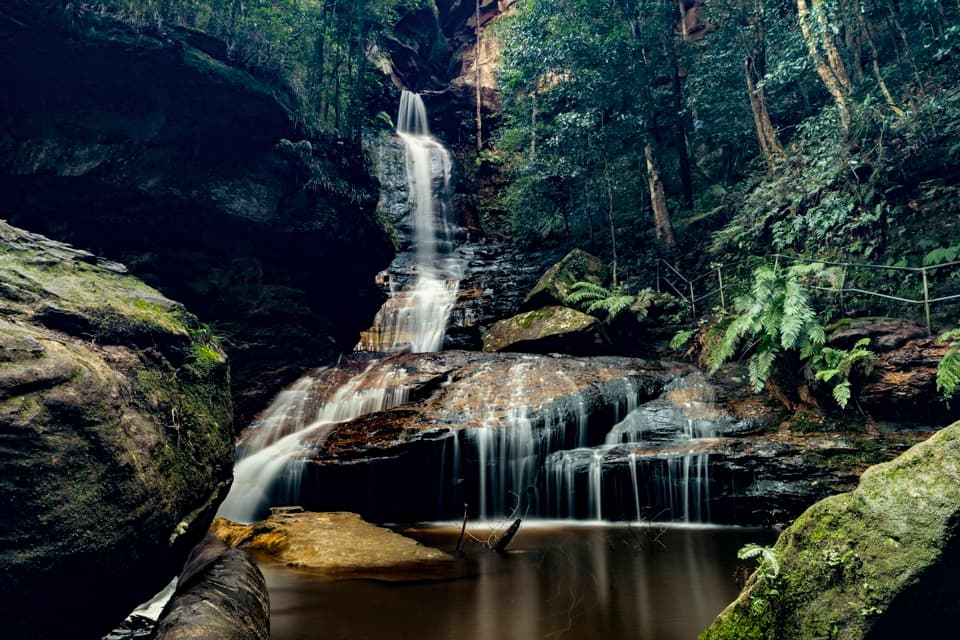 Sight · 1.2 km awayEmpress FallsA steep waterfall walk where canyoners sometimes abseil.
 Sight · 1.2 km awayLyrebird DellA shaded creek walk reaches a sandstone shelter and waterfall pool.
 Sight · 1.2 km awaySylvia FallsA stepped rainforest cascade just beyond Empress Falls.
 Sight · 1.3 km awayEdinburgh Castle RockA short spur to an open ledge with a modest valley view.
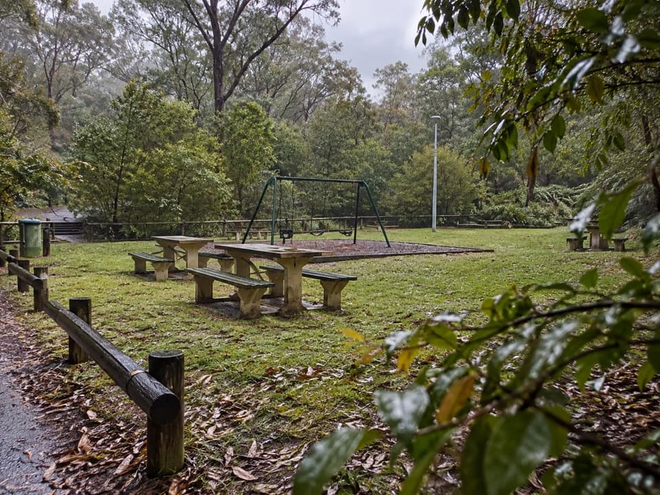 Picnic area · 1.4 km awayGordon Falls picnic areaPicnic tables, a playground and cliff walks close at hand.
 Sight · 1.4 km awayGordon Falls lookoutSteps down to sandstone cliffs, forested valleys and a distant waterfall.
Parkwolf’s Blue Mountains ranking

The audio tour guide for the drive, plus offline maps, trails, and wildlife heatmaps for when the signal drops.





