Parking
Use the small roadside clearing near John Donohoe’s grave on Bourke/Burke Road. Space is limited; local directions then follow the road briefly to the left-hand track entrance. No formal car park was verified.
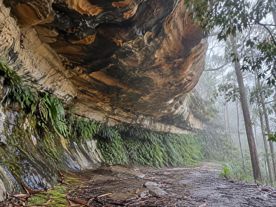
Blue Mountains National Park, NSW
A quick walk to a broad sandstone shelter in Linden.
Overview
Map & elevation
Plan your hike

The highest, rockiest slopes around here are a summer buffet for grizzly bears.
Blue Mountains Tour Guide
Parkwolf is a GPS audio tour guide for Blue Mountains National Park. As you drive, it chimes in with what’s ahead: hidden gems, upcoming stops, history, geology, and wildlife, right through your car’s speakers.
See the Blue Mountains audio tourRecorded for this area
The Wattle Changes Its Leaves“A young wattle can show you two different ways of being leafy. Many start with feathery leaves divided into tiny leaflets, then replace them as they grow.”
Plays on the road 0.8 km from the trailhead in the Parkwolf Blue Mountains Tour Guide.
More stories near here in the app
“Fantastic app with many points of information… It’s great to just turn on while you’re driving and it gives you an audio tour of the national Park. We love it!!!!”


Trail guide
Kings Cave walk is a short out-and-back from Bourke Road to a broad sandstone overhang near Linden. Follow the tread to the shelter, then return the same way. The mapped path is about 140 m each way, or roughly 0.17 mi (280 m) round trip. Published estimates range from a rounded 200 m to 0.2 mi, so treat the distance as approximate. Allow about 20 minutes, including finding the turn and spending a few minutes at the cave. This is a small heritage stop, not a longer bushwalk or a lookout circuit.
The usual access is a small roadside clearing near John Donohoe’s grave on Bourke/Burke Road. Walk a short way along the road and take the left-hand track; its entrance is easy to miss and is not clearly signposted. Parking is limited. The grave is a nearby landmark, not part of the cave route. The start is approximate from mapped and local directions, and no official trail page confirmed access, so check locally before setting out.
The path descends gently to a large, shallow sandstone overhang, with uneven ground and a few larger stone steps; the same path climbs gently on the return. Anyone unsteady on rough footing may want to skip it. Stories about the cave’s name and John Donohoe’s life are disputed, so treat them as local history rather than settled fact. Formal access and dog rules were not confirmed; check with the land manager before visiting or bringing a pet.
Wildlife
 58 sightingsGrey KangarooMost seen around 6 AMSighting map
 43 sightingsWombatMost seen around 6 PMSighting map
 18 sightingsRed-necked WallabyMost seen around 6 PMSighting map
 53 sightingsSwamp WallabyMost seen around 7 AMSighting map
 23 sightingsBrushtail PossumMost seen around 7 PMSighting map
 30 sightingsRing-tailed PossumMost seen around 7 PMSighting map
Sighting maps show where each species has been reported across Blue Mountains. Wildlife moves, so no sighting is guaranteed.
Keep exploring
 ModerateParadise Pool walking track2.6 km · 1.5 hr · 0.7 km awayA pool below a waterfall rewards the rocky walk back out.
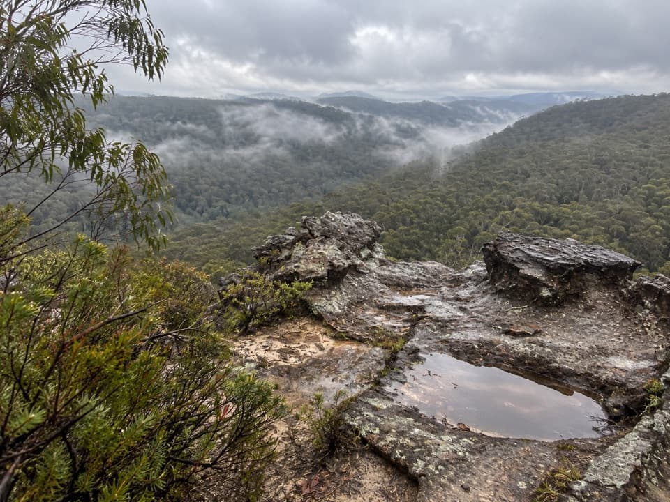 ModerateLinden Ridge Firetrail14.5 km · 3.5 hr · 1.9 km awayA long ridge firetrail with intermittent sandstone views.
 ModerateWoodford – Oaks trail17.4 km · 5.5 hr · 2.4 km awayOpen heath and eucalypt forest make this a satisfying one-way walk.
 ModerateTransit of Venus walking track4 km · 2 hr · 2.8 km awayA shaded forest loop links three small falls near Woodford.
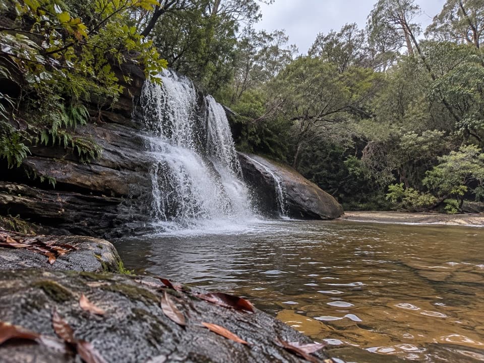 ModerateWoodford to Murphys Glen and Bedford Creek10 km · 4.2 hr · 3.4 km awayForest tracks lead to waterfalls and a deep sandstone creek pool.
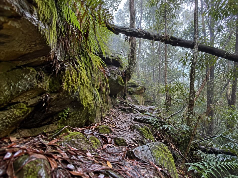 ChallengingFaulconbridge to Springwood via Sassafras Gully6.1 km · 3 hr · 3.9 km awayA shaded creek descent ends with a tough climb to Springwood.
 ModerateLawson Ridge walk9.8 km · 3.5 hr · 5.1 km awayA quiet firetrail walk from Lawson to a forested ridge.
 ModerateSassafras Gully, Victory Track and Magdala Gully Loop10.2 km · 4.5 hr · 6.3 km awaySandstone gullies, waterfalls and creekside track from Springwood.
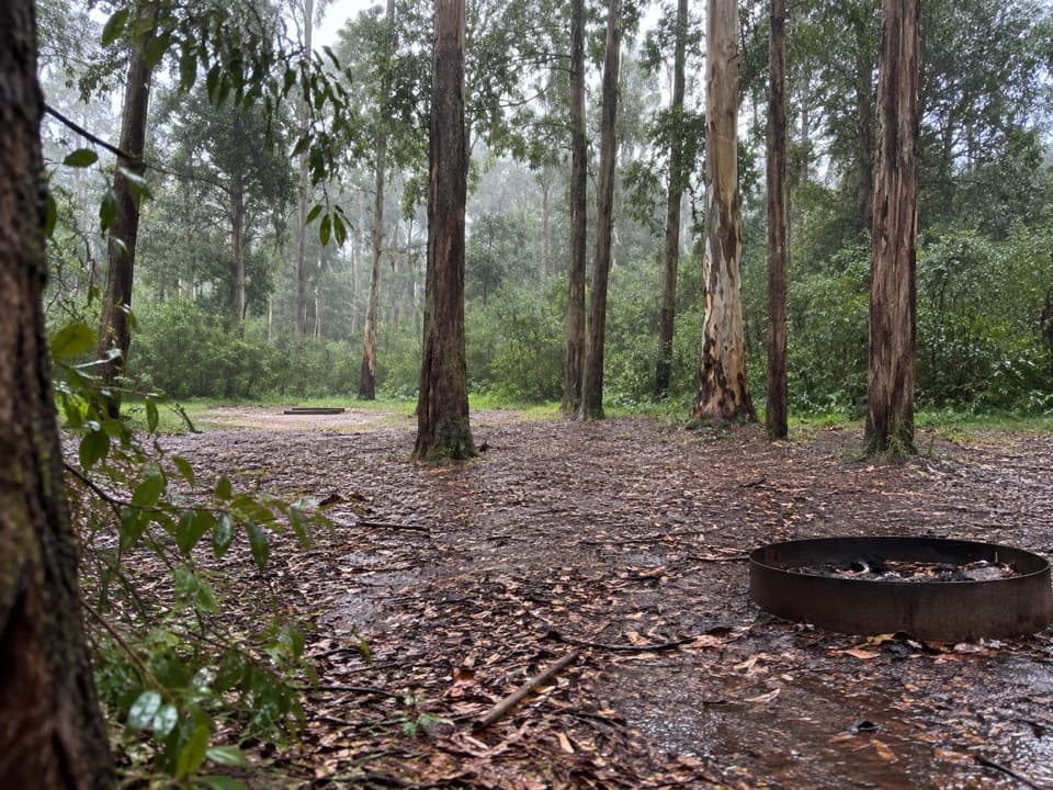 Campground · 6.1 km awayMurphys Glen campgroundA bush night among blue gums, with cockatoos at first light.
 Campground · 7 km awayIngar campgroundA remote walk-in camp beside Ingar Creek's rocky waterhole.
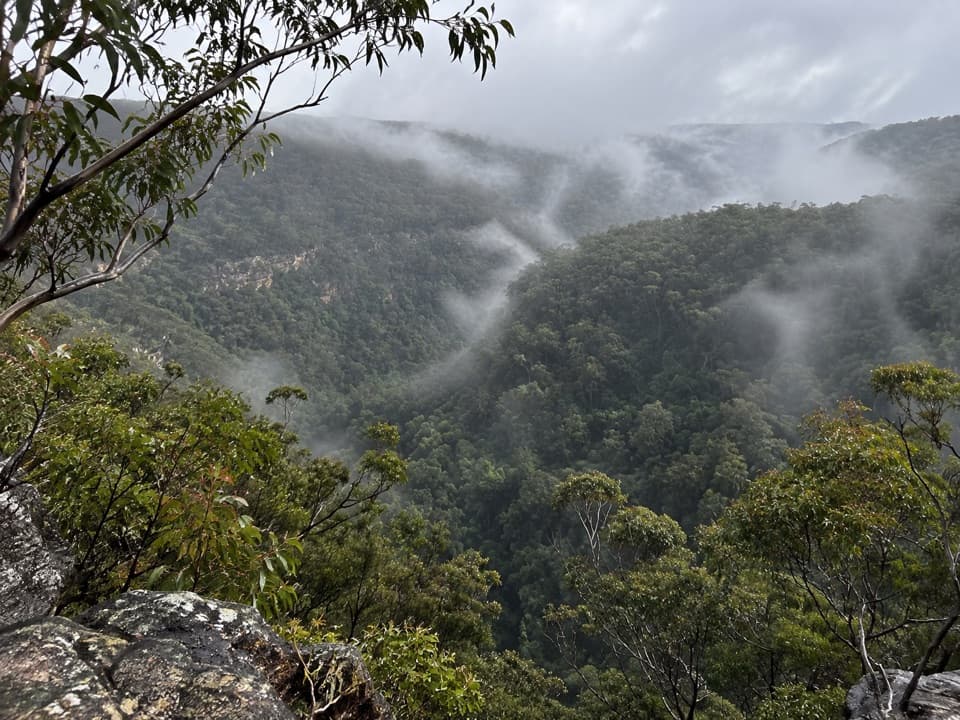 Sight · 7.4 km awayMartin's LookoutA brief lookout over Glenbrook Creek's sandstone gorge
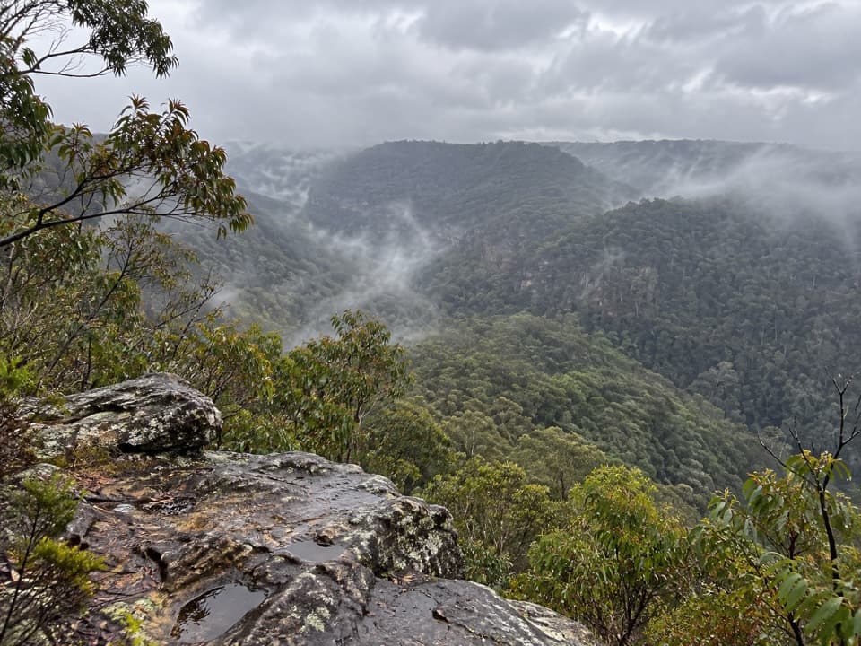 Sight · 7.4 km awayLost World LookoutA steep walk to a cross above Glenbrook Gorge.
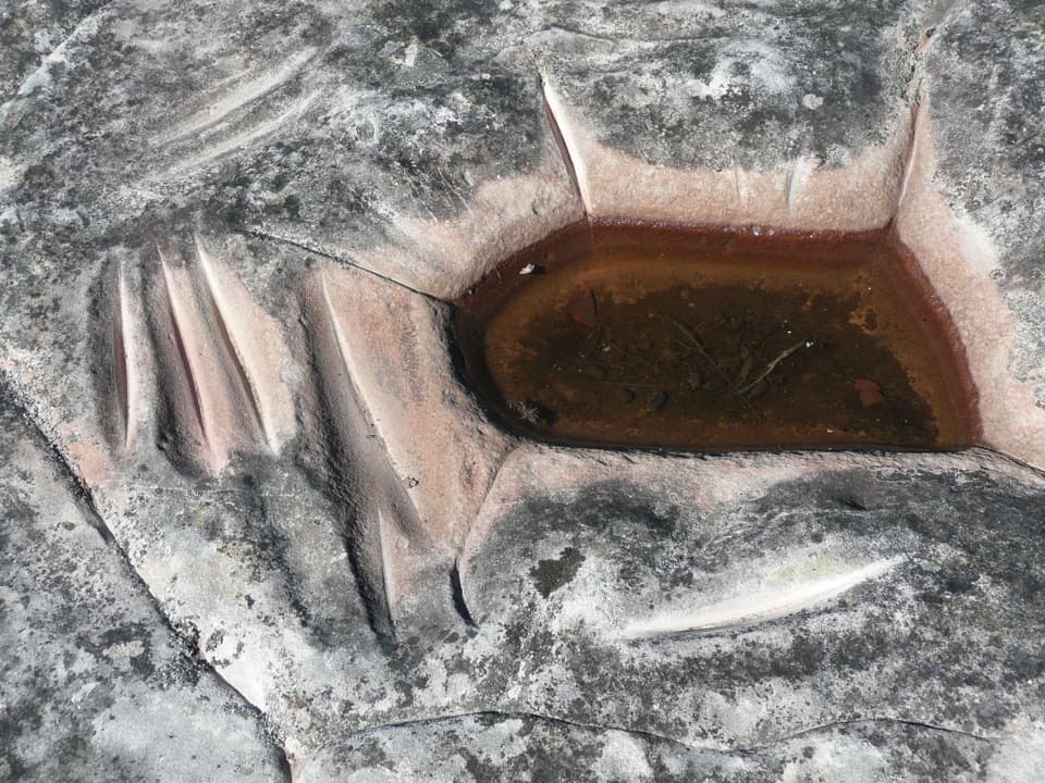 Sight · 10.9 km awayKings Tableland Aboriginal PlaceGrinding grooves and carved animal tracks reward this remote 4WD detour.
 Sight · 11.3 km awayRed Hands CaveLayered hand stencils survive in a small sandstone shelter.
 Sight · 11.5 km awayWeeping RockA sandstone creek cascade tucked off the Wentworth Falls circuit.
 Sight · 11.6 km awayWentworth FallsA 100-metre plunge rewards the steep walk down.
Parkwolf’s Blue Mountains ranking

The audio tour guide for the drive, plus offline maps, trails, and wildlife heatmaps for when the signal drops.





