Parking
Start at the Waterfall Reserve car park and picnic area near Queens Avenue. Either end joins the circuit; use the north end for the clockwise direction described above.
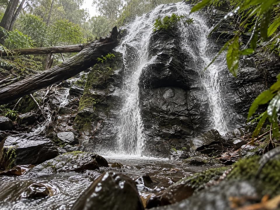
Blue Mountains National Park, NSW
Two falls and a memorial bridge on a short rainforest loop.
Overview
Map & elevation
Plan your hike

The highest, rockiest slopes around here are a summer buffet for grizzly bears.
Blue Mountains Tour Guide
Parkwolf is a GPS audio tour guide for Blue Mountains National Park. As you drive, it chimes in with what’s ahead: hidden gems, upcoming stops, history, geology, and wildlife, right through your car’s speakers.
See the Blue Mountains audio tourRecorded for this area
Wollangambe River from Mount Wilson“The Wollangambe River track starts up ahead by Mount Wilson Fire Station, for a walk down into the sandstone gorge.”
Plays on the road 0.9 km from the trailhead in the Parkwolf Blue Mountains Tour Guide.
More stories near here in the app
“Fantastic app with many points of information… It’s great to just turn on while you’re driving and it gives you an audio tour of the national Park. We love it!!!!”


Trail guide
Waterfall Reserve walking track is a 1.1 km (0.71 mi) loop from the reserve car park, descending through rainforest to two cascades before climbing back. Allow 30–60 minutes for the circuit and stops, with about 70 m of ascent. Start at the north end and go clockwise for the sequence described here. The lower falls are reached by a short signed spur with extra steps; the creek can run low after dry weather.
Maintained steps descend quickly under the canopy, then ease onto a narrow dirt path among sassafras, giant coachwood, ferns and hanging vines. The circuit alternates between earth track, timber boardwalk and stone, concrete and timber steps. Around 750 m into the walk, take the signed spur and its extra steps to the lower falls. Continue around the loop to the upper cascade over dark basalt; the last roughly 200 m climbs back toward the car park on a gentler grade, though it still has stairs and uneven footing.
The timber Jefferson Bridge crosses Waterfall Creek and opened in 1993 as a memorial to Charles Jefferson, an early Mount Wilson settler. Glowworms have also been reported around the creek gullies, though sightings are not guaranteed.
Use the Waterfall Reserve car park and picnic area near Queens Avenue; either end joins the loop. A picnic shelter and pit toilet are at the reserve. Bring drinking water; no refill point or food on the route is documented.
Wildlife
 58 sightingsGrey KangarooMost seen around 6 AMSighting map
 43 sightingsWombatMost seen around 6 PMSighting map
 18 sightingsRed-necked WallabyMost seen around 6 PMSighting map
 53 sightingsSwamp WallabyMost seen around 7 AMSighting map
 23 sightingsBrushtail PossumMost seen around 7 PMSighting map
 30 sightingsRing-tailed PossumMost seen around 7 PMSighting map
Sighting maps show where each species has been reported across Blue Mountains. Wildlife moves, so no sighting is guaranteed.
Keep exploring
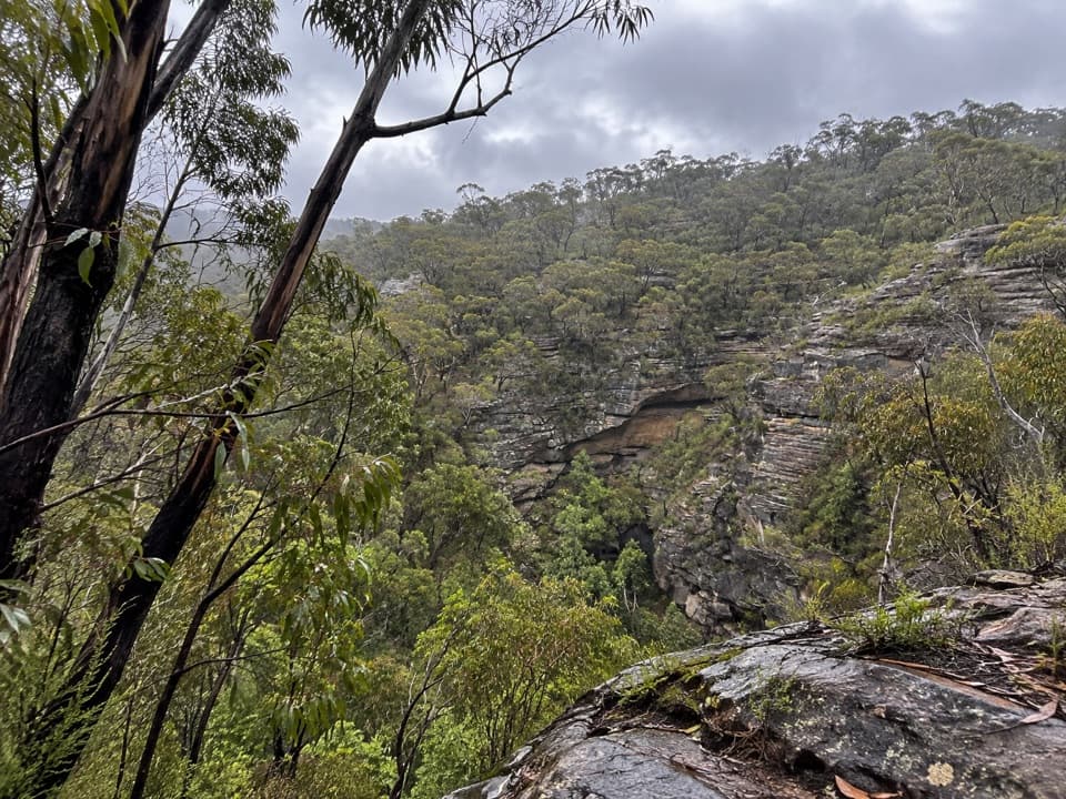 ModerateWollangambe River walking track6.4 km · 3 hr · 0.9 km awaySandstone gorge and riverbank at the end of a steep descent.
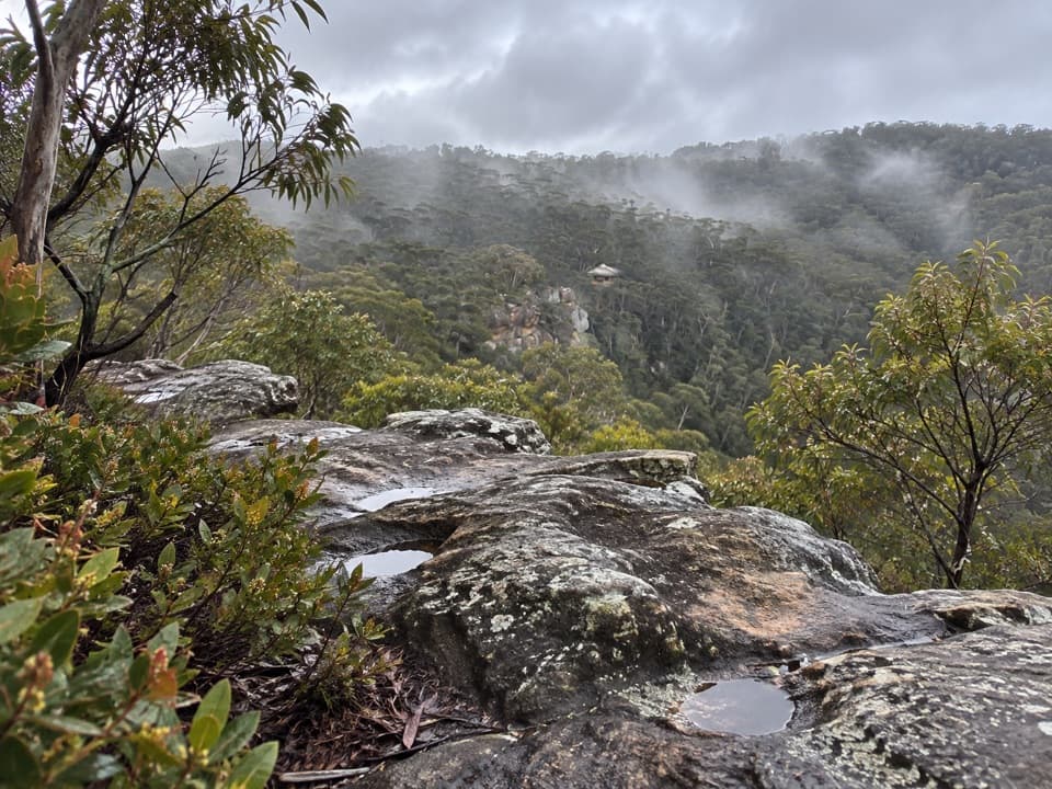 ModerateChinamans Hat and Pheasants Cave Loop1.8 km · 1 hr · 1.3 km awayA short cliffside loop leads to a cool gully and huge overhang.
 EasyWalls Lookout Track2.5 km · 1 hr · 7 km awayA short out-and-back to big Grose Valley views.
 ChallengingPierces Pass to Blue Gum Forest walking track16 km · 7 hr · 7.7 km awayA steep Grose Valley descent to rainforest, river and Blue Gum Forest.
 EasyRigby Hill walking track1.2 km · 1 hr · 7.7 km awayA short ridge walk ends above the Grose Valley.
 ChallengingPierces Pass to Grose River4.9 km · 3 hr · 7.7 km awayA steep track to the river, then every step back up.
 ModerateMount Banks Road cycle route10 km · 4 hr · 8 km awayAn unsealed ridge road ends above the Grose Valley
 ModerateMount Banks Summit walk2.4 km · 2.5 hr · 8 km awayOpen ridge views make the steep climb to a wooded summit worthwhile.
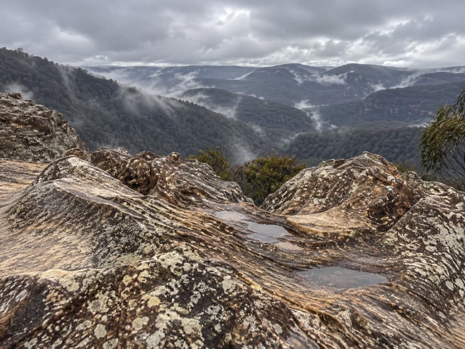 Sight · 1.3 km awayDu Faurs Rocks lookoutA brief rocky overlook above Mount Wilson’s broad valley.
 Picnic area · 7.7 km awayPierces Pass picnic areaTwo very different walks start at this small Grose Valley picnic stop.
 Picnic area · 8 km awayMount Banks picnic areaQuiet tables at Mount Banks' base, with a steep summit walk beyond.
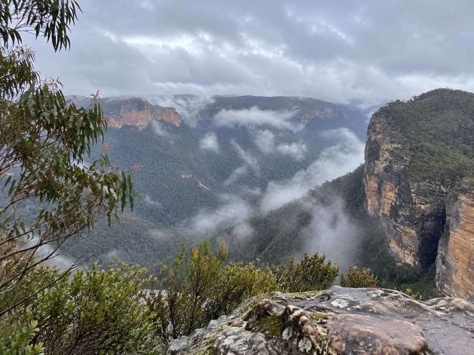 Sight · 8.2 km awayRigby Hill lookoutA short ridge walk to a broad Grose Valley panorama.
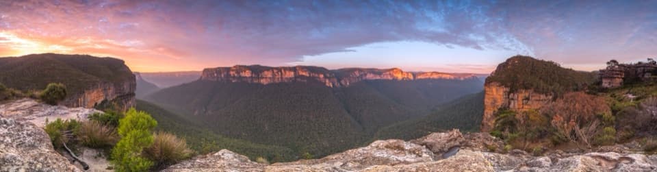 Sight · 8.3 km awayWalls LookoutA short rocky walk opens onto a huge Grose Valley panorama.
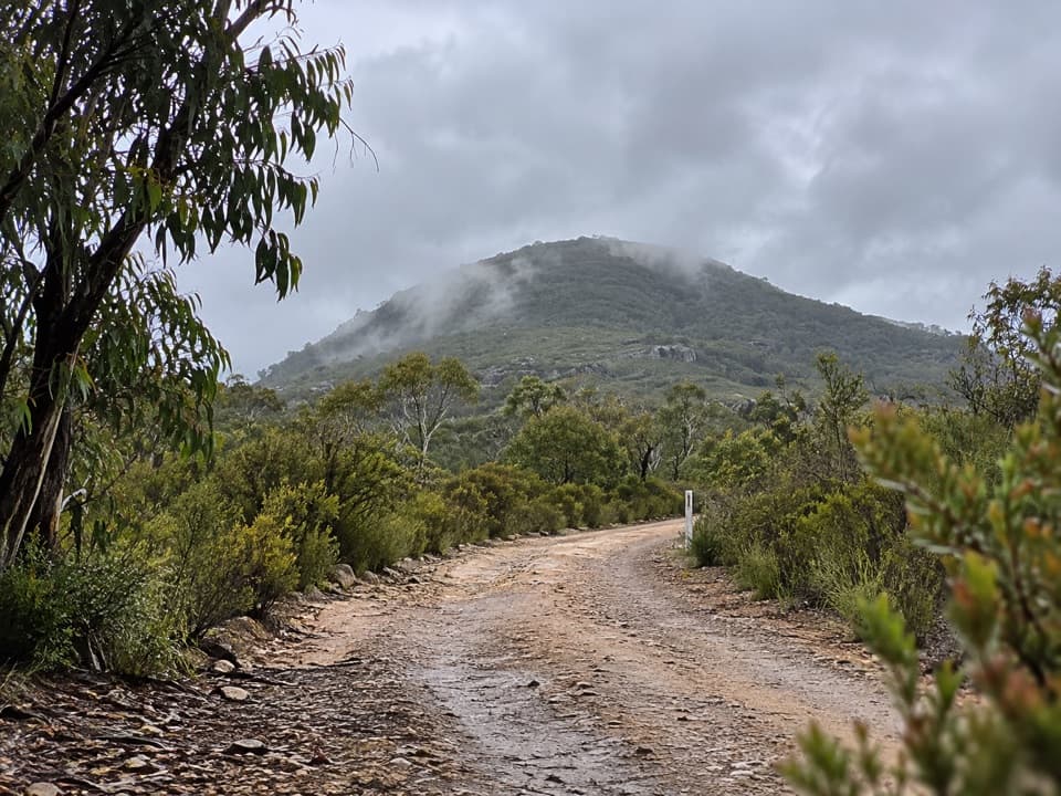 Sight · 8.7 km awayMount BanksA steep climb to a double-humped summit above Grose Wilderness.
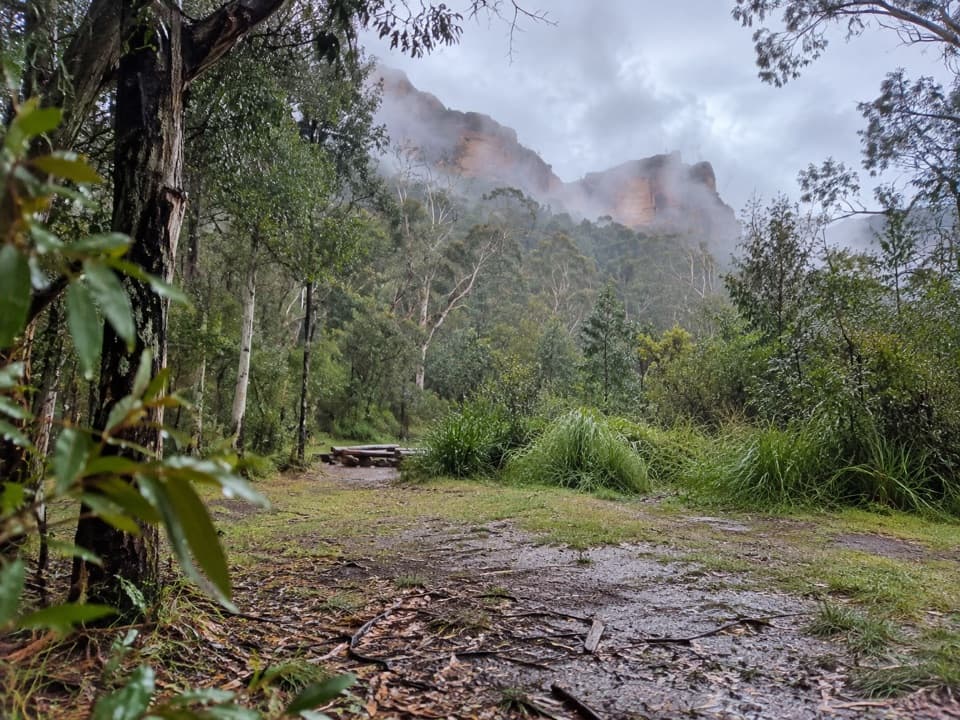 Campground · 9 km awayBurra Korain Flat campgroundListen for cockatoos as evening settles over the remote Grose Valley.
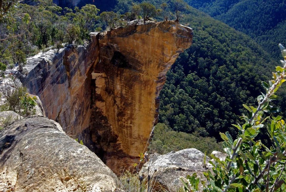 Sight · 10.2 km awayBaltzer LookoutA ridge walk ends at an unfenced view over the Grose Valley.
Parkwolf’s Blue Mountains ranking

The audio tour guide for the drive, plus offline maps, trails, and wildlife heatmaps for when the signal drops.





