Parking
Start at Du Faurs Rocks lookout, at the Du Faurs Rocks Road turning circle. Parking there is very limited; no confirmed overflow area was found.
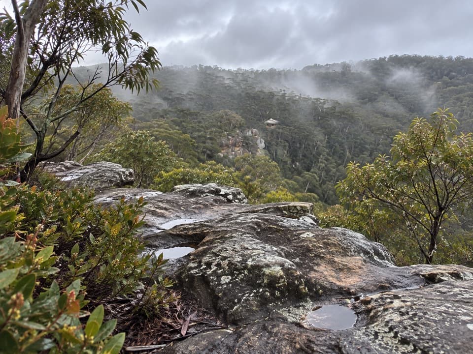
Blue Mountains National Park, NSW
A short cliffside loop leads to a cool gully and huge overhang.
Overview
Map & elevation
Plan your hike

The highest, rockiest slopes around here are a summer buffet for grizzly bears.
Blue Mountains Tour Guide
Parkwolf is a GPS audio tour guide for Blue Mountains National Park. As you drive, it chimes in with what’s ahead: hidden gems, upcoming stops, history, geology, and wildlife, right through your car’s speakers.
See the Blue Mountains audio tourRecorded for this trailhead
Du Faurs Rocks Lookout and the Cave Walk“You're coming up on Du Faurs Rocks lookout, a quick Mount Wilson stop for a broad view across the forested valley.”
Plays as you drive up to this trailhead in the Parkwolf Blue Mountains Tour Guide.
More stories near here in the app
“Fantastic app with many points of information… It’s great to just turn on while you’re driving and it gives you an audio tour of the national Park. We love it!!!!”


Trail guide
From Du Faurs Rocks lookout, this 1.1-mile (1.8-km) circuit links the cliff-top Chinamans Hat track with the Pheasants Cave spur, which you walk out and back. Allow about an hour. The sandy upper path passes big overhangs and open valley views, then drops on rocky steps into a shaded gully. It's a good pick if you want more than the lookout; the cave detour adds the steepest, roughest part.
At the lower junction, the right branch returns to the access and misses the cave. Continue straight for Pheasants Cave, then retrace the rocky descent and follow the remaining loop back toward Du Faurs Rocks. Small arrows mark parts of the way, but the junction is easy to mistake.
Pheasants Cave is a broad rock overhang beside boulders in a cool, wooded gully, not a cave to walk into. A tiny creek crosses the path just before it. There's also a small waterfall whose flow changes with rainfall, so treat it as a bonus rather than a guaranteed feature.
The start is at the Du Faurs Rocks Road turning circle beside the lookout, where parking is very limited. The lower descent is steep and uneven, with rock-cut steps and a handrail; the rocks and creek can be slippery when wet. This walk is in Blue Mountains National Park, so pets aren't allowed apart from assistance animals.
Wildlife
 58 sightingsGrey KangarooMost seen around 6 AMSighting map
 43 sightingsWombatMost seen around 6 PMSighting map
 18 sightingsRed-necked WallabyMost seen around 6 PMSighting map
 53 sightingsSwamp WallabyMost seen around 7 AMSighting map
 23 sightingsBrushtail PossumMost seen around 7 PMSighting map
 30 sightingsRing-tailed PossumMost seen around 7 PMSighting map
Sighting maps show where each species has been reported across Blue Mountains. Wildlife moves, so no sighting is guaranteed.
Keep exploring
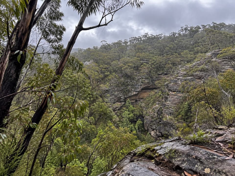 ModerateWollangambe River walking track6.4 km · 3 hr · 0.4 km awaySandstone gorge and riverbank at the end of a steep descent.
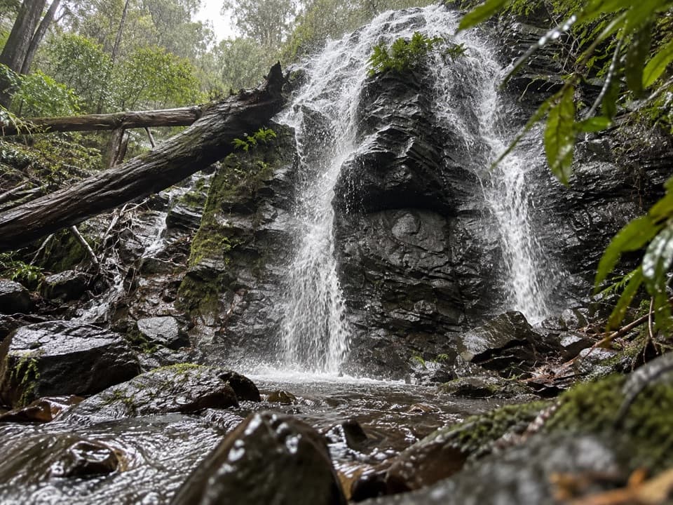 EasyWaterfall Reserve walking track1.1 km · 45 min · 1.3 km awayTwo falls and a memorial bridge on a short rainforest loop.
 EasyWalls Lookout Track2.5 km · 1 hr · 7 km awayA short out-and-back to big Grose Valley views.
 ChallengingPierces Pass to Blue Gum Forest walking track16 km · 7 hr · 7.6 km awayA steep Grose Valley descent to rainforest, river and Blue Gum Forest.
 EasyRigby Hill walking track1.2 km · 1 hr · 7.6 km awayA short ridge walk ends above the Grose Valley.
 ChallengingPierces Pass to Grose River4.9 km · 3 hr · 7.6 km awayA steep track to the river, then every step back up.
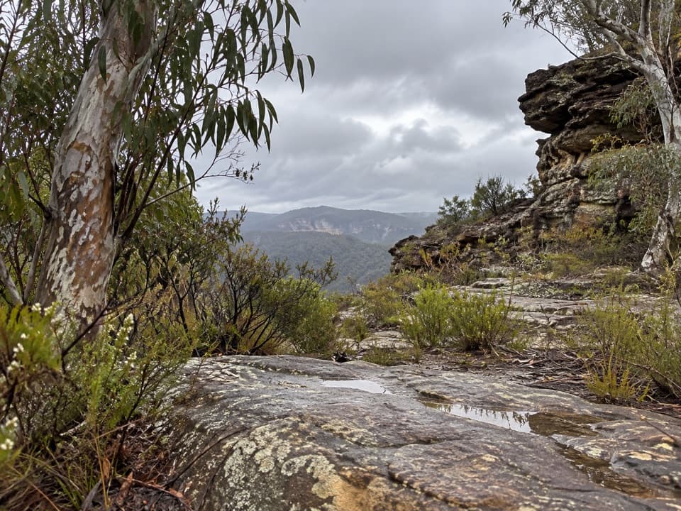 ChallengingWollangambe Crater walk17.8 km · 8 hr · 7.8 km awayRough 18 km return through pagoda country to a remote crater bowl.
 ModerateMount Banks Road cycle route10 km · 4 hr · 8.3 km awayAn unsealed ridge road ends above the Grose Valley
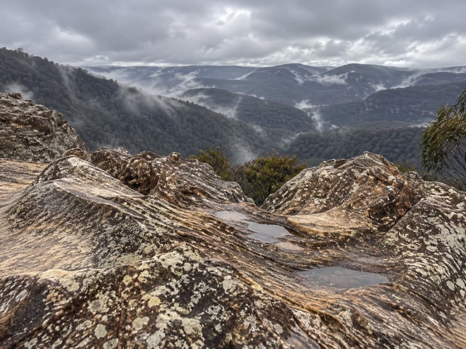 Sight · At the trailheadDu Faurs Rocks lookoutA brief rocky overlook above Mount Wilson’s broad valley.
 Picnic area · 7.6 km awayPierces Pass picnic areaTwo very different walks start at this small Grose Valley picnic stop.
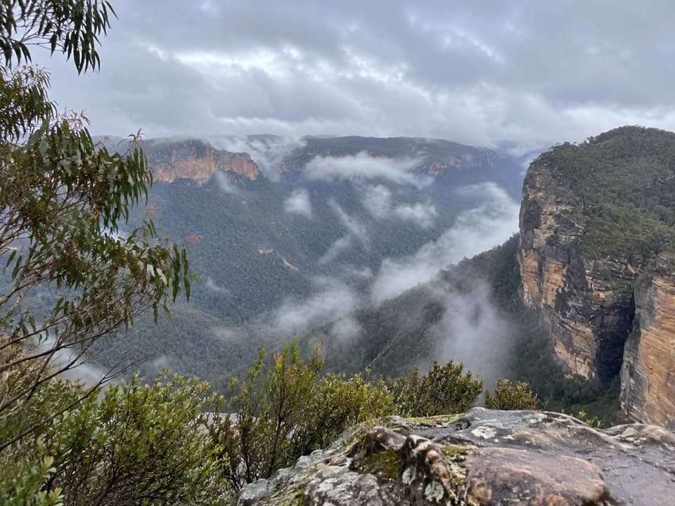 Sight · 8.1 km awayRigby Hill lookoutA short ridge walk to a broad Grose Valley panorama.
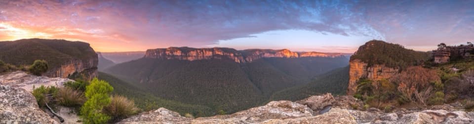 Sight · 8.2 km awayWalls LookoutA short rocky walk opens onto a huge Grose Valley panorama.
 Picnic area · 8.2 km awayMount Banks picnic areaQuiet tables at Mount Banks' base, with a steep summit walk beyond.
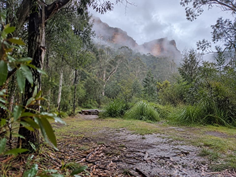 Campground · 8.4 km awayBurra Korain Flat campgroundListen for cockatoos as evening settles over the remote Grose Valley.
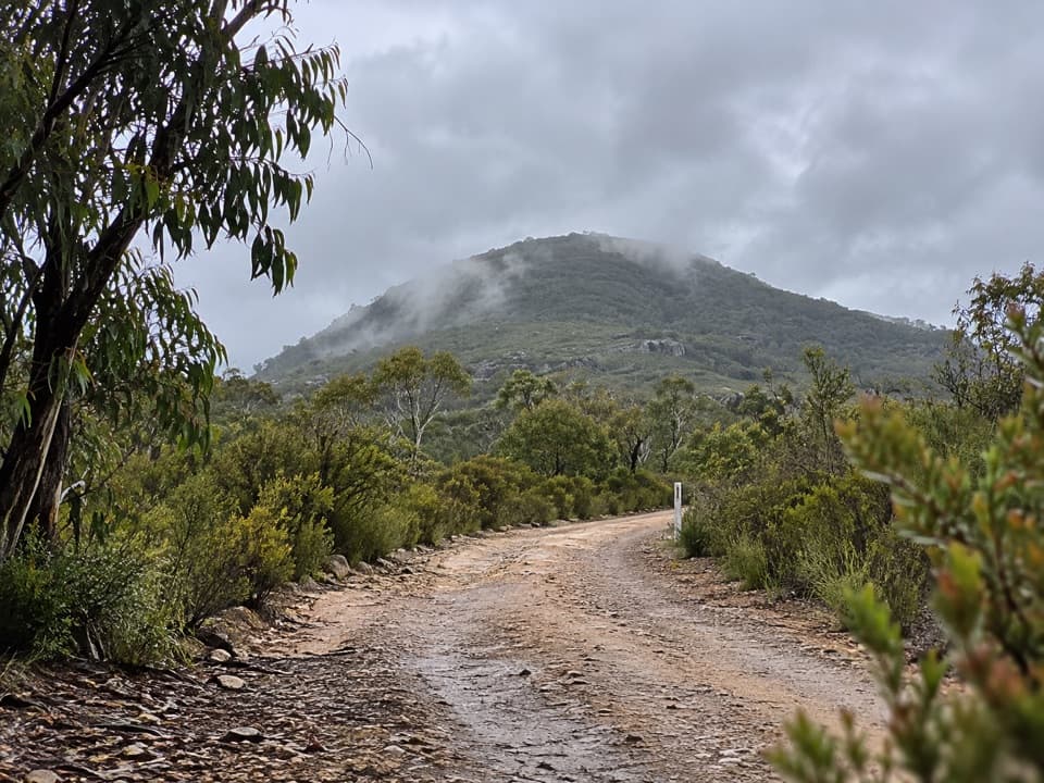 Sight · 9.1 km awayMount BanksA steep climb to a double-humped summit above Grose Wilderness.
 Sight · 9.7 km awayVictoria FallsA steep descent links a 20 m waterfall with creek cascades.
Parkwolf’s Blue Mountains ranking

The audio tour guide for the drive, plus offline maps, trails, and wildlife heatmaps for when the signal drops.





