Pros & cons
PROS
- Shady, spacious loops with 90+ tables and charcoal grills
- Flush restrooms and drinking water
- Direct trail access to AT connector and Catoctin View Trail
CONS
- No trash cans—pack out all waste
- Restrooms can be closed in the off-season
Overview
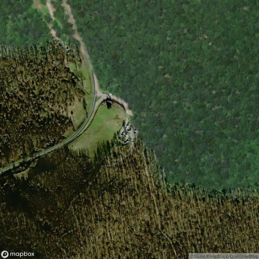
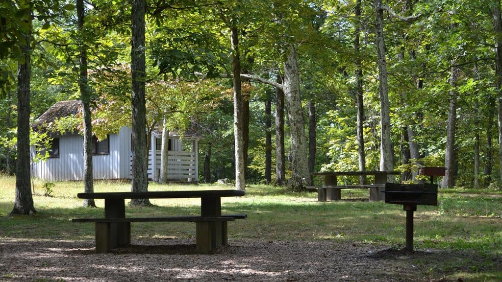
Just off milepost 8.5, Humpback Rocks Picnic Area is a big, quiet, oak-shaded day-use spot built for lingering—two figure‑eight loops hold 91 stone‑set tables, most with charcoal grills. It’s first‑come, first‑served and far calmer than the nearby Humpback Gap trailhead.
Why it’s worth a stop
This is the Parkway’s northernmost picnic area (dating to 1956) and it feels purpose‑built for an unhurried meal with room to breathe. Tables are spaced out for privacy, and you get a solid mix of amenities—drinking water and flush toilets—plus trail access right from the lower loop.
Facilities
- 91 picnic tables, most with charcoal grills (tables are fixed, not movable)
- Drinking water and two comfort stations with flush toilets
- First‑come, first‑served only; small group nook but limited space for large gatherings
- Expect to carry your trash out—no bins, by design, due to wildlife
Trails from your table
From the back of the lower loop you can hop onto two short connectors:
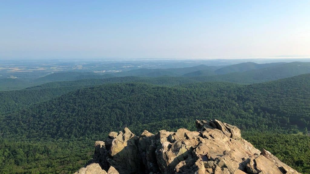
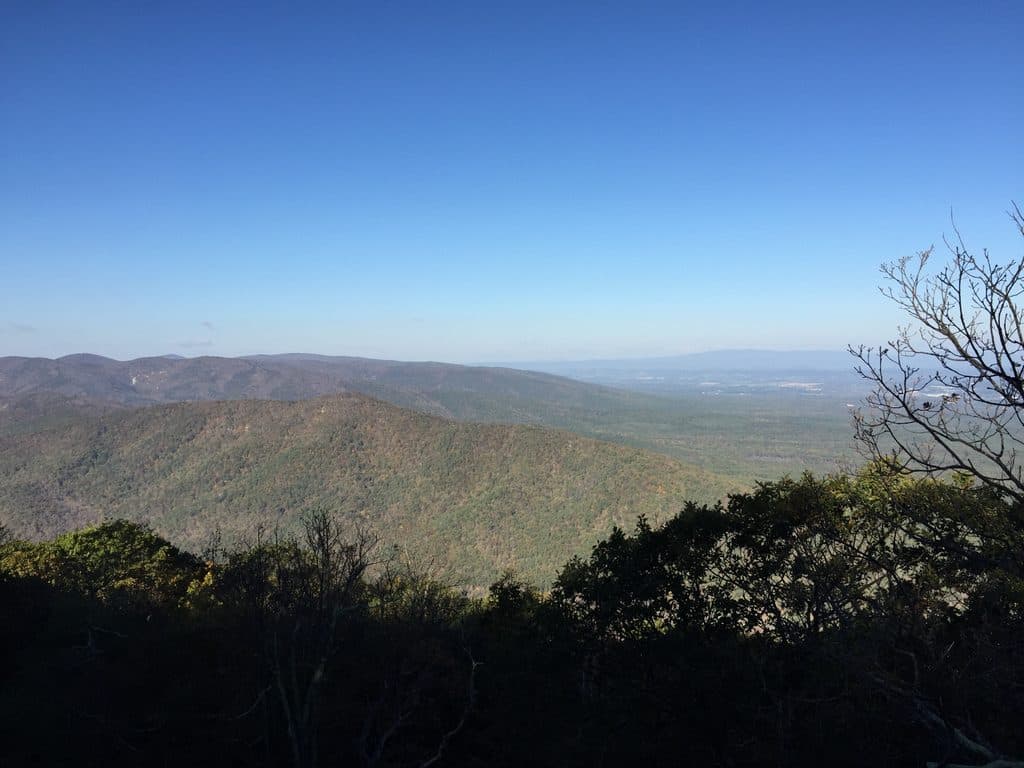
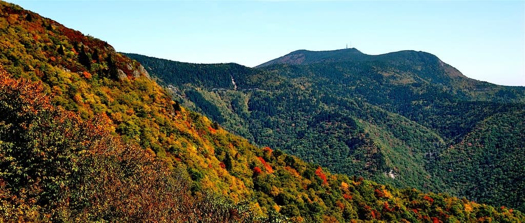
- Catoctin View Trail (0.3 mi) to west‑facing Shenandoah Valley views near Greenstone Overlook—great near sunset.
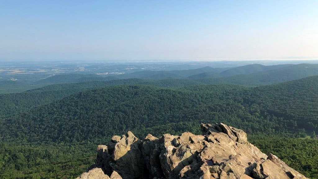
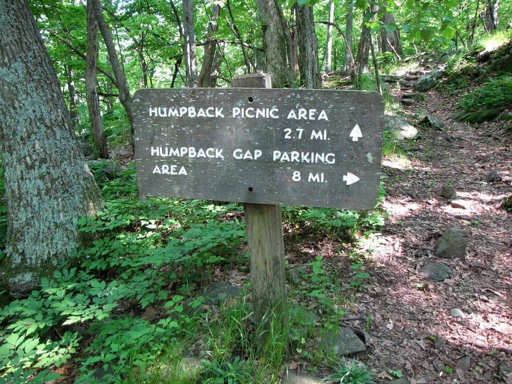
- Appalachian Trail connector (about 0.2–0.5 mi) that links you to the AT; from there continue to Humpback Rocks or Humpback Mountain with less elevation gain than the steeper Humpback Gap route.
Wildlife & safety
You’re sharing the woods with birds, squirrels, raccoons, snakes, and the occasional bear. Pack out every crumb and wrapper and keep food secured—there are no trash cans specifically to avoid attracting wildlife.
Best time to visit
- Weekends fill fastest around midday; arrive before 11 am for choice tables, or come on weekdays for easy parking and quieter loops.
- For photography, aim for late afternoon into sunset if you’ll walk the short Catoctin View Trail for west‑facing light.
- Facilities can close seasonally; if you’re visiting in late fall–early spring, don’t count on restrooms being open.

Good to know
Bring charcoal if you want to grill, plus extra water just in case. Download the Humpback Rocks trail map before you lose signal, and if you’re hiking to the Rocks, starting here dodges the crowds and the steepest climb.
Where it is
37.9470, -78.9256Tips for Humpback Rocks Picnic Area
- 01Arrive early on weekends for the best table selection.
- 02Bring trash bags—this is pack-in, pack-out with no bins on site.
- 03Download the Humpback Rocks area trail map before you go.
- 04Start hikes from here to avoid Humpback Gap crowds and a steeper climb.
- 05Expect seasonal restroom closures; in shoulder seasons, plan a backup.
Amenities
Near Humpback Rocks Picnic Area
All places →All trails →
0 mi awayAlbright Loop TrailQuieter Humpback Rocks alternative with woods, streams, and a view spurModerate · 3.5 mi · 2.5 hr
0.1 mi awayGreenstone OverlookQuiet overlook with a short geology loop and valley viewsTrailhead · Pullout
0.3 mi awayCatoctin OverlookQuiet Parkway pullout with wide mountain viewsPullout · Parking
1.4 mi awayRock Point OverlookQuiet pullout with broad views over Back Creek ValleyPullout · Parking
1.7 mi awayHumpback RocksShort, steep climb to a sweeping rocky perch with valley viewsTrailhead · Parking
2.2 mi awayHumpback Mountain TrailShort, punchy loop with big Blue Ridge views and AT ridgewalkModerate · 4.2 mi · 2.4 hr
2.2 mi awayHumpback Rocks TrailSteep mile to knockout summit views, with history on the sideChallenging · 2 mi · 0 min
2.3 mi awayMountain Farm TrailShort, history-rich stroll through an 1890s mountain farmsteadEasy · 0.5 mi · 15 min