Pros & cons
PROS
- Live interpretation in summer makes the farmstead feel authentic and engaging
- Benches and dense signage encourage slow, immersive exploring despite the short distance
CONS
- Buildings and demonstrations are seasonal; off-season it’s just a quiet loop with signs
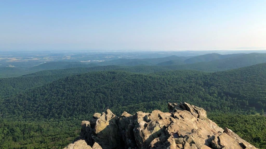
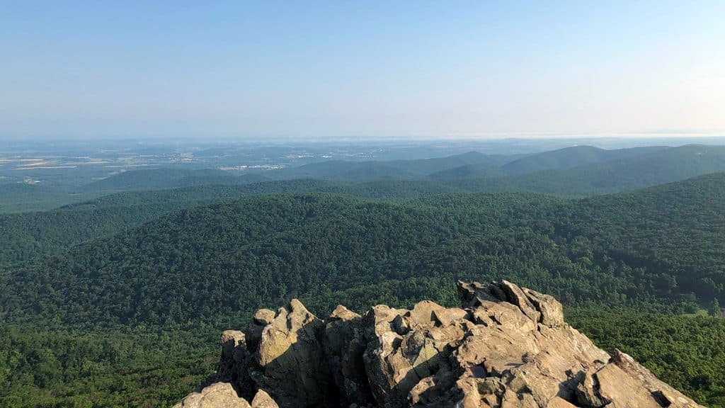
- Cultural stop with limited views—seek the nearby Humpback Rocks hike if vistas are your priority
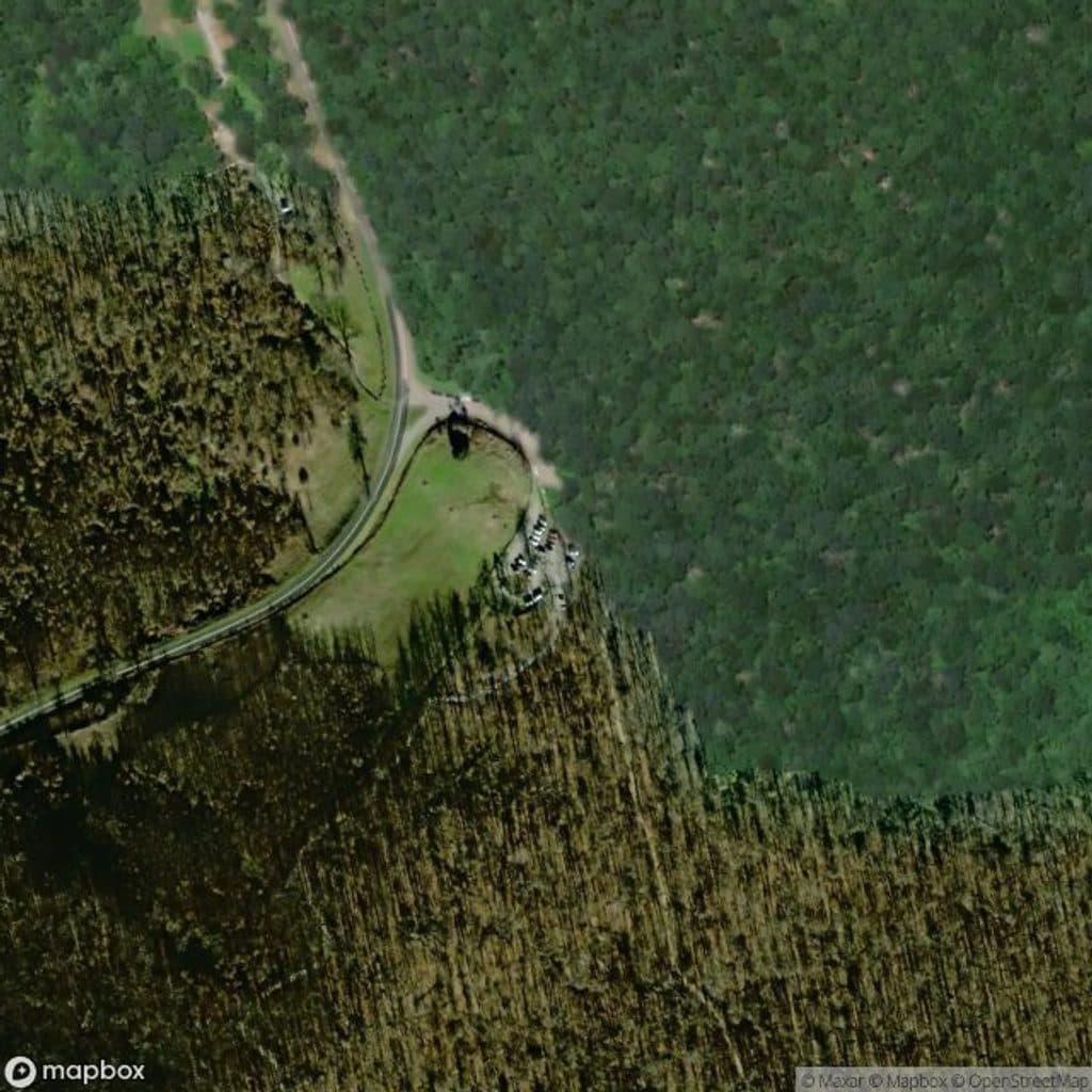
Park at the Humpback Rocks Visitor Center (MP ~5.8–5.9) on the Blue Ridge Parkway; the loop begins beside the center.
Not fully ADA accessible beyond the paved start—expect a short hill and uneven dirt/gravel. Summer operations (open buildings, interpreters) are seasonal; in shoulder seasons, plan on self-guided signage only.
Why hike it
If you like your walks with a side of living history, this is your easy win. The Mountain Farm Trail loops through a recreated 1890s Appalachian homestead beside the Humpback Rocks Visitor Center near milepost 5.8–5.9. It’s less about big vistas and more about stepping into daily mountain life before electricity and indoor plumbing—low effort, high interpretive value.
Route and terrain
Plan on roughly a 0.5-mile loop from the visitor center around the farm buildings and back. The surface starts paved and transitions to packed dirt (with bits of grass/gravel) and includes one short hill. It’s easy walking with minimal elevation change; most folks take about 10–20 minutes, longer if you stop to read signs and poke around.
What you’ll see
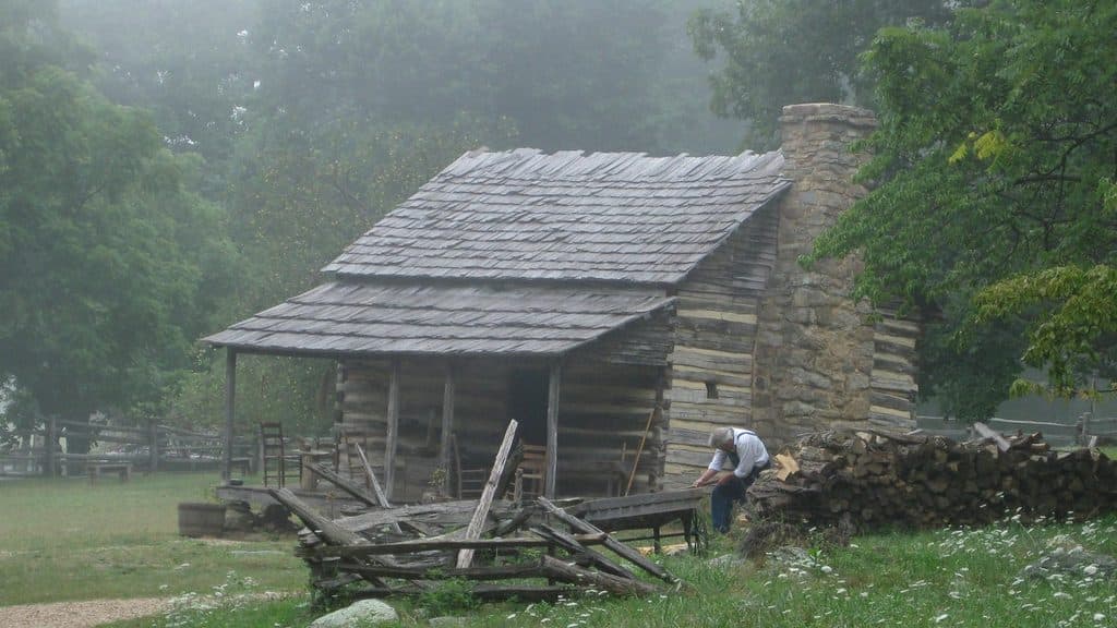
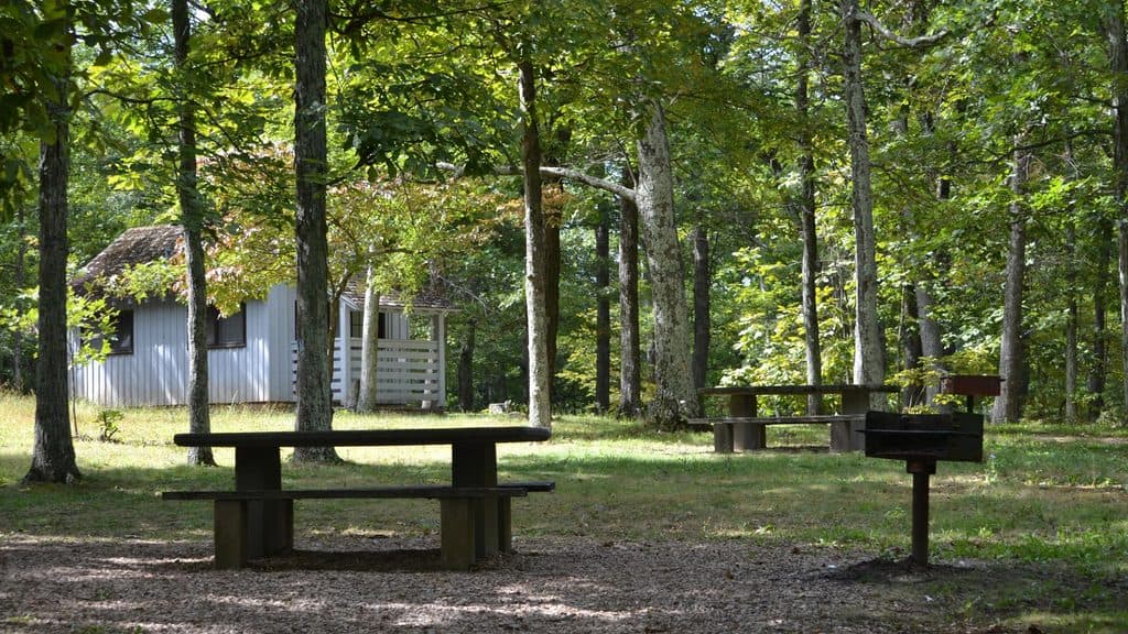
You’ll pass a log home and a cluster of outbuildings—a chicken house, root cellar, barn, hog pen, spring house, fencing, and a demonstration garden. Interpretive panels explain how food was grown, stored, and prepared, and how families made a living on rocky, sloped land. In peak season, staff (sometimes in period dress) bring the site to life, and antique farm equipment scattered around adds texture to the story. Benches along the way make it an easy family stop.
Setting and context
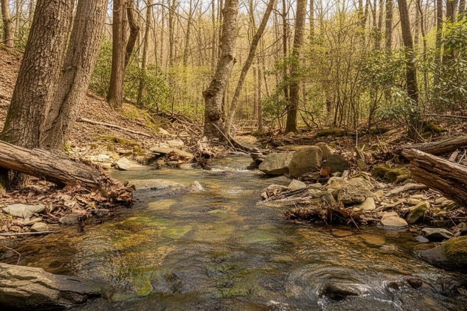
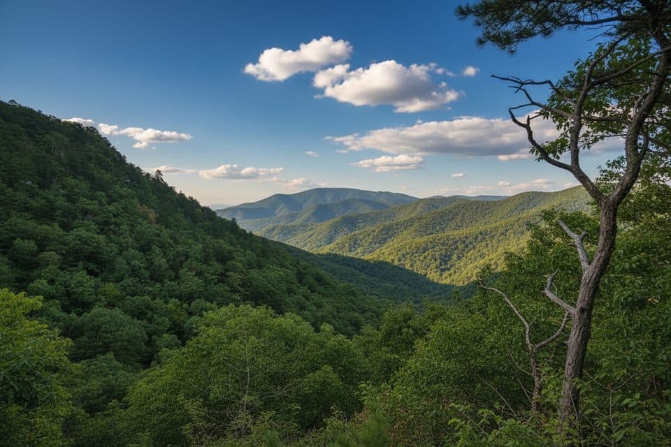
Set in Blue Ridge hardwood forest, the farmstead highlights the cultural landscape more than overlooks. It also hints at regional geology: weathered, rocky soils and slopes made subsistence farming tough—exactly what the exhibits call out as you move through the grounds.
Best time to go
Spring through fall is ideal. Summer is the most “alive,” with buildings typically open and interpreters on site. For fewer people and softer photos, aim for early morning or late afternoon. Off-season, it’s a peaceful self-guided stroll with signage, but buildings may be closed and staff absent.
Tips
- Start at the Humpback Rocks Visitor Center for context and a quick orientation.
- Bring water in warmer months—there’s limited shade in the farm clearing.
- Mobility note: it’s mostly gentle, but the short hill and uneven dirt/gravel sections can challenge wheelchairs or strollers away from the paved start.
- Want views and a workout? Pair this with the separate, steep Humpback Rocks trail nearby—just know that’s a different, much harder hike.
Elevation
0.5 mi · 15 minWhere it starts
37.9728, -78.8995Near Mountain Farm Trail
All places →All trails →
0 mi awayHumpback Rocks Visitor CenterTrail gateway with historic farmstead and handy rest stopVisitor Center · Exhibit
0.1 mi awayHumpback Rocks FarmRelocated 1890s farmstead with summer demos and easy loopTrailhead · Parking
0.3 mi awayHumpback Rocks OverlookShort, steep climb to a rocky perch with valley viewsScenic Viewpoint · Parking
0.3 mi awayHumpback Rocks TrailSteep mile to knockout summit views, with history on the sideChallenging · 2 mi · 0 min
0.3 mi awayHumpback Mountain TrailShort, punchy loop with big Blue Ridge views and AT ridgewalkModerate · 4.2 mi · 2.4 hr
0.8 mi awayHumpback RocksShort, steep climb to a sweeping rocky perch with valley viewsTrailhead · Parking
2.3 mi awayAlbright Loop TrailQuieter Humpback Rocks alternative with woods, streams, and a view spurModerate · 3.5 mi · 2.5 hr
9.5 mi awayWhite Rock Falls TrailWaterfall, gorge, and forest loop off the Parkway near SlacksModerate · 4.5 mi · 2.5 hr