Moderate

Albright Loop Trail

Quieter Humpback Rocks alternative with woods, streams, and a view spur
Albright Loop Trail, Blue Ridge Parkway
Distance3.5 mi
Typical time2.5 hr
DifficultyModerate
PetsAllowed

Why hike it

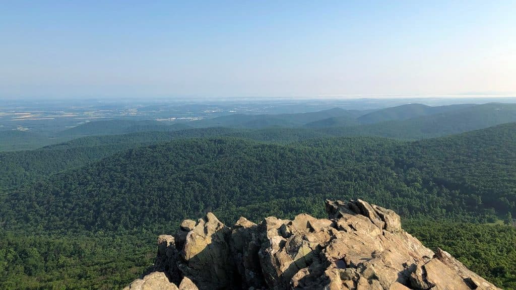
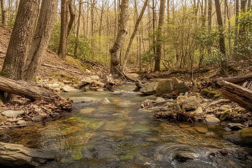
If you want the Humpback Rocks area without the Humpback Rocks crowds, this loop is the move. The Jack Albright Loop is an about 3.5-mile forested loop that trades the famous summit panorama for a calmer, more varied walk: creeks, hardwood forest, glimpses of the Shenandoah Valley, and a short signed spur to Glass Hollow Overlook for a proper view. Expect a moderate-to-strenuous effort with sustained ups and downs and roughly 1,100 feet of total gain across the loop [nps.gov](https://www.nps.gov/places/humpback-rocks-trailhead.htm), [hikingproject.com](https://www.hikingproject.com/trail/7046236/albright-loop-trail), [thehoppyhikers.com](https://thehoppyhikers.com/dobie-mountain-jack-albright-loop/).

Route, terrain, and highlights

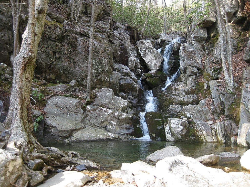
Start from the Humpback Rocks parking area around Blue Ridge Parkway Milepost 6. Follow the blue-blazed Jack Albright Trail; early on, take the clearly signed 0.2-mile spur to Glass Hollow Overlook for a sweeping valley vantage and then rejoin the loop [nps.gov](https://www.nps.gov/places/humpback-rocks-trailhead.htm). The loop weaves onto a white-blazed segment of the Appalachian Trail, dips into Mill Valley, rock-hops Mill Creek, and passes the Paul Wolfe AT shelter—an inviting spot to pause before climbing back toward Dobie Mountain and closing the loop [thehoppyhikers.com](https://thehoppyhikers.com/dobie-mountain-jack-albright-loop/). Footing ranges from smooth forest duff to rocky, rooty stretches with switchbacks; trekking poles are optional but handy on the steeper bits [hikingproject.com](https://www.hikingproject.com/trail/7046236/albright-loop-trail).

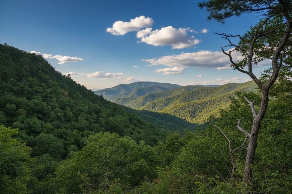
Keep your eyes open for classic Blue Ridge flora—hardwood canopies, seasonal wildflowers near the creek and shelter—and scattered rock outcrops born of ancient granitic and gneiss bedrock. Views are mostly filtered through trees except at the overlook, which is why most hikers consider that short spur a must-do [thehoppyhikers.com](https://thehoppyhikers.com/dobie-mountain-jack-albright-loop/).

Some hikers also detour to visible plane-wreckage remains via a short, steep unofficial side path near the AT junction; if you go, step lightly, avoid disturbing the site, and return to the blazed trail promptly.

How it feels vs. Humpback Rocks

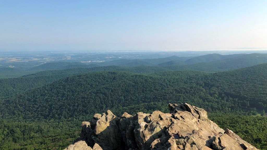
This loop is the underrated sibling: fewer people, more variety underfoot, and a touch of AT culture. If you want the blockbuster cliff-edge view and don’t mind company, do Humpback Rocks. If you’d rather move through quiet woods with one quality viewpoint and a creek crossing, choose this loop [thehoppyhikers.com](https://thehoppyhikers.com/dobie-mountain-jack-albright-loop/).

Best time to hike

  • Spring: lively creeks and abundant wildflowers—arguably the prime season [thehoppyhikers.com](https://thehoppyhikers.com/dobie-mountain-jack-albright-loop/).
  • Autumn: superb color and longer-range views once leaves thin.
  • Summer: shaded and green but humid; start early to beat heat and parking crunch.
  • Winter: quiet and more open views through leafless trees, but expect icy or muddy sections—microspikes can help on cold snaps [thehoppyhikers.com](https://thehoppyhikers.com/dobie-mountain-jack-albright-loop/).

Practical tips

  • Parking fills on weekends; overflow is at the Humpback Rocks Visitor Center about 0.2 miles north, with seasonal restrooms and water when open [nps.gov](https://www.nps.gov/places/humpback-rocks-trailhead.htm), [thehoppyhikers.com](https://thehoppyhikers.com/dobie-mountain-jack-albright-loop/).
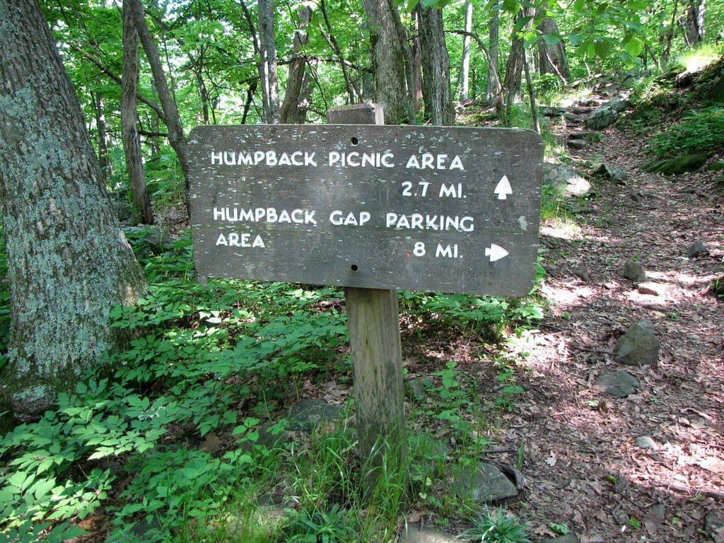
  • Wayfinding: most intersections are blazed, but a few junctions can be confusing. Bring a map/GPS and know you’ll use both blue (Albright) and white (AT) blazes [thehoppyhikers.com](https://thehoppyhikers.com/dobie-mountain-jack-albright-loop/).
  • Footing: expect rocks, roots, and a rock-hop at Mill Creek; it can be slick after rain or in winter [thehoppyhikers.com](https://thehoppyhikers.com/dobie-mountain-jack-albright-loop/). Leashed dogs are allowed; keep them close at creek crossings [hikingproject.com](https://www.hikingproject.com/trail/7046236/albright-loop-trail).
  • Distance note: Some listings show ~3.1 miles for the loop; plan on roughly 3.5 miles total, with optional add-ons if you explore spurs [nps.gov](https://www.nps.gov/places/humpback-rocks-trailhead.htm), [virtualblueridge.com](https://www.virtualblueridge.com/parkway-places/hiking-trails/).

Pros

  • Quieter alternative to the busy Humpback Rocks summit hike
  • Short signed spur to Glass Hollow Overlook delivers the best view
  • Passes the Paul Wolfe AT shelter—an easy, scenic lunch stop

Cons

  • Some junctions are not well marked—easy to second-guess without a map
  • Rock-hop creek crossing can be slick after rain or in winter
  • Limited vistas on the main loop compared to Humpback Rocks

Parking

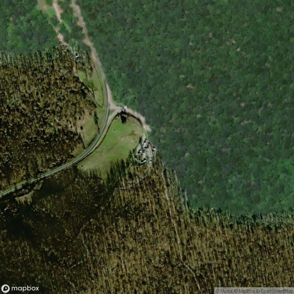
Park at the Humpback Rocks Parking Area (Blue Ridge Parkway MP 6); overflow at the Humpback Rocks Visitor Center 0.2 miles north when open.

Caution

Rocky, rooty footing with a slick creek rock-hop; a few confusing junctions. In winter expect ice; the plane-wreck spur is steep and unofficial—use care and return to blazed trail.

The Parkwolf tour guide sitting on a phone mounted in a car

Parkwolf Tour Guide

Like a tour guide in your car.

Bring Blue Ridge Parkway trail research into the car, with offline maps and stories that play as you drive.Download Parkwolf on the App Store