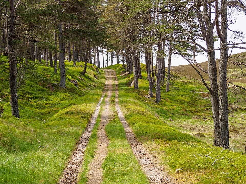
Comyn’s Road in Cairngorms National Park

Cairngorms National Park, SC

Comyn’s Road

A 35 km medieval crossing with vanished bridges and hard navigation.

Photo: Wikimedia Commons
Length
35km
Time
13hr
Elev. change
623m
Difficulty
Challenging
  • Dogs allowed
  • High point 768 m
Parkwolf audio tour298 stories across Cairngorms’s roads

Overview

About Comyn’s Road

Why go

  • A rare historic crossing with old-road terraces and a plateau marker stone.
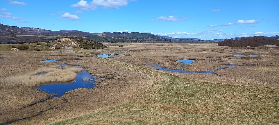
  • The scenery shifts from river glens to open upland.

Heads up

  • Faint or vanished tread demands strong navigation.
  • A long, remote route with at least eight river and burn crossings.

Map & elevation

The route

Loading the Cairngorms map
Full map
Elevation145–768 m
TrailheadGlen Tromie (NN 753 925)57.00720, -4.05362
Keep this map with you offline in the Parkwolf app

Plan your hike

Before you go

Parking

No dedicated parking is identified at the Glen Tromie start (NN 753 925). Tromie Bridge is the easier approach than the vanished Dalriach crossing, via the tarred road up Glen Tromie; walking in adds distance beyond the mapped 35 km. Arrange transport at the Blair Atholl finish.

Safety

At least eight river and burn crossings are required. The River Tromie ford near Bhran Cottage is large and potentially dangerous even at low water, and several old footbridges are gone. High ground is remote with no shelter; the old road becomes faint or disappears, so strong navigation and experience judging fords are essential. Crossings can become hazardous after rain.

3 active Cairngorms alerts

  • CautionStorm Boelo high windsStorm Boelo will bring extremely windy weather to the Cairngorms; take extra care and limit time outdoors. - The Park Authority expects the very windy weather to last until Monday 26 October.Official details
  • ClosureGlenmore wildfire closures and dangerous treesWildfire damage has closed Allt Mor car park and the path to Sugarbowl/Utsi’s Bridge; keep out of the closed area.Official details
See all 3 alerts
A park ranger sits on a dash-mounted phone, talking, as Parkwolf’s Tour Guide plays “Army Cutworm Moths: A Grizzly Bear Buffet” on Grand Loop Road below Dunraven Pass in Yellowstone
Parkwolf Tour GuideThe highest, rockiest slopes around here are a summer buffet for grizzly bears.

Cairngorms Tour Guide

Your drive to Comyn’s Road, narrated.

Parkwolf is a GPS audio tour guide for Cairngorms National Park. As you drive, it chimes in with what’s ahead: hidden gems, upcoming stops, history, geology, and wildlife, right through your car’s speakers.

See the Cairngorms audio tour

More stories near here in the app

  • The Poet Behind Ossian
  • The Snipe’s Humming Tail
  • The Raven’s Rolling Flight
  • An Otter’s Riverside Messages
  • 298 audio storiesacross Cairngorms’s roads, triggered by GPS as you drive
  • Wildlife heatmapsfor Red Deer, Reindeer, Osprey, and 13 more
  • Works offlinemaps, 260 trails, 90 places, and audio download before you lose signal
  • CarPlay readysimple controls built for the drive
★★★★★
“Fantastic app with many points of information… It’s great to just turn on while you’re driving and it gives you an audio tour of the national Park. We love it!!!!”
JMJamesApp Store review
Download Parkwolf on the App StoreGet Parkwolf on Google Play

4.7 from 8,600+ ratings

Trail guide

Hiking Comyn’s Road

A serious one-way crossingComyn’s Road is a 35 km (21.75 mile) point-to-point route from Glen Tromie to Blair Atholl.

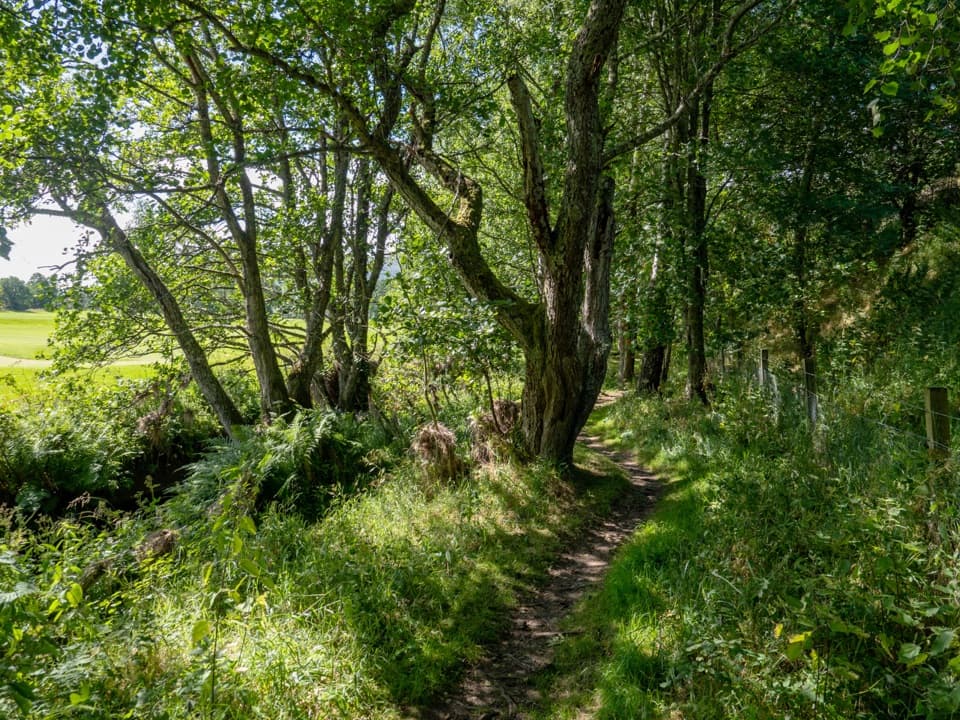
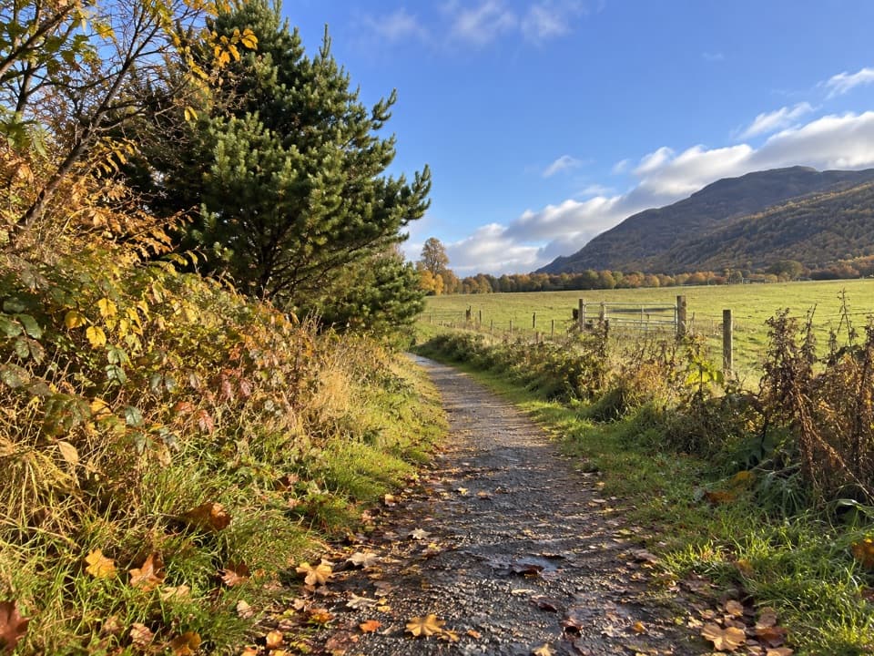
Comyn’s Road is a 35 km (21.75 mile) point-to-point route from Glen Tromie to Blair Atholl. It follows sections of a medieval road across rough glens and remote high ground; it is not a continuous maintained or waymarked trail. This is for fit, experienced walkers who can navigate faint ground and judge river fords. No standard completion time is published; allow about 13 hours as a planning estimate, and longer if route-finding or water slows you. Arrange transport at Blair Atholl because this is a one-way walk.

Glen Tromie to Gaick LodgeFrom the Glen Tromie start, the route drops toward Bhran Cottage.

From the Glen Tromie start, the route drops toward Bhran Cottage. The west bank is rough and thickly vegetated. Dalriach Bridge is gone, and the large River Tromie ford near Bhran Cottage can be dangerous even when the water is low. Beyond it, a vehicle track climbs Druim an t-Seilich, turns peatier, then fades on the steep Bogha-cloiche slope. Descend toward Loch an t-Seilich and look for the faint pony track, marked only occasionally by cairns, to Gaick Lodge. The shore crossing depends on water levels, and an older footbridge is gone.

Across Bac na GreigeAt Gaick Lodge, Comyn’s Road leaves the Gaick Pass track before its river ford, following the…

At Gaick Lodge, Comyn’s Road leaves the Gaick Pass track before its river ford, following the burn upstream to steep zigzags onto Bac na Greige. Old-road terraces and small cairns appear, then become hard to follow across the open plateau; an upright stone is a useful landmark. Descend toward Feith na Mad and continue around the west side of Carn an Fhiadhain. At the eroded Allt a’ Mhuillin gully, a short upstream detour makes the ford easier to cross. The mapped line skirts west of Sron a’ Chleirich. In dry conditions and good visibility, the level col and trig point are a clearer-to-follow alternative, but that changes the line shown here.

Down to Blair AthollA rough ATV track descends Sron a’ Chleirich’s south shoulder toward old sheilings.

A rough ATV track descends Sron a’ Chleirich’s south shoulder toward old sheilings. More burns follow before Clunes Bothy and a vague line over open ground toward Cuilltemhuc. The bothy is basic and not maintained, so do not count on it as dependable shelter. From the locked cottage area, the route crosses the Glen Bruar track and a shallow Bruar ford, then continues past Ruichlachrie and down Glen Banvie to Blair Castle and the village. If Bruar Water is too high, the Glen Bruar track provides an exit to Calvine instead; that is a different finish from the Blair Atholl route mapped here.

The road’s storyThe Comyn family built this route in the thirteenth century to connect their castles at Blair…

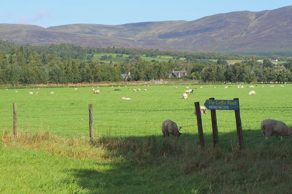
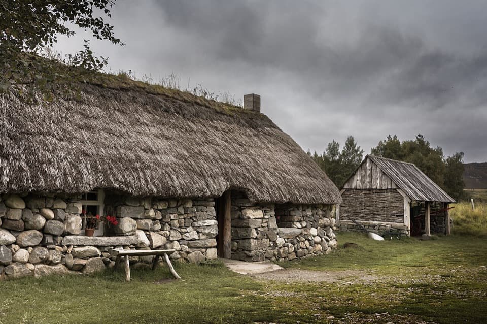
The Comyn family built this route in the thirteenth century to connect their castles at Blair and Ruthven. It carried wheeled carts, and an early map text calls it Rad-na-pheny, or the “way of wane wheills,” describing causewayed sections. By the seventeenth century it seems to have been superseded by nearby routes. The story that Walter Comyn died on Bac na Greige in 1258 after falling from his horse is tradition, not established fact. The visible terraces and marker stone are the best clues to the old road itself; look back along the terrace as it climbs onto the plateau.

What to carryNo food, toilets, or potable-water facilities are documented along the route.

No food, toilets, or potable-water facilities are documented along the route. Carry supplies for the full crossing and treat natural water before drinking. Dogs can accompany walkers under Scotland’s responsible access rules; keep them under close control around livestock and wildlife.

Wildlife

Wildlife in Cairngorms

All Cairngorms wildlife maps

Sighting maps show where each species has been reported across Cairngorms. Wildlife moves, so no sighting is guaranteed.

Keep exploring

Near Comyn’s Road

See it all on the map

Trails that start nearby

Places near the trailhead

Parkwolf’s Cairngorms ranking

Top-rated trails in Cairngorms

All 260 trails
  1. 1Loch an Eilein CircuitEasy · 5 km
  2. 2Lairig GhruChallenging · 30.6 km
  3. 3Ben Macdui and Cairn Gorm CircuitChallenging · 19.8 km
  4. 4Loch Morlich TrailModerate · 5.6 km
  5. 5Meall a’ Bhuachaille CircuitChallenging · 8 km
  6. 6Loch Muick CircuitModerate · 12.5 km

Take Parkwolf to Cairngorms.

The audio tour guide for the drive, plus offline maps, trails, and wildlife heatmaps for when the signal drops.

4.7 from 8,600+ ratings

Download Parkwolf on the App StoreGet Parkwolf on Google Play