Parking
Start at Glen Feshie car park about 1 km short of Achlean. This is distinct from NatureScot’s Invereshie and Inshriach reserve car park at NH851011. Car park capacity, fees and facilities were not confirmed.
Cairngorms National Park, SC
Two remote Corbetts, with the better view on Càrn Dearg Mòr.
Overview
Map & elevation
Plan your hike

The highest, rockiest slopes around here are a summer buffet for grizzly bears.
Cairngorms Tour Guide
Parkwolf is a GPS audio tour guide for Cairngorms National Park. As you drive, it chimes in with what’s ahead: hidden gems, upcoming stops, history, geology, and wildlife, right through your car’s speakers.
See the Cairngorms audio tourRecorded for this trailhead
Upper Glen Feshie and Ruigh Aiteachain“You're coming up on the Glen Feshie walkers' car park, for a valley walk through recovering Scots pinewoods.”
Plays as you drive up to this trailhead in the Parkwolf Cairngorms Tour Guide.
More stories near here in the app
“Fantastic app with many points of information… It’s great to just turn on while you’re driving and it gives you an audio tour of the national Park. We love it!!!!”


Trail guide
Leathad an Taobhain and Càrn Dearg Mòr is a 22.7-mile (36.5-km) loop from Glen Feshie, with a retraced spur to Leathad followed by a different return over Càrn Dearg Mòr. Allow 9–10 hours for about 1,150 m of climbing. This suits hillwalkers after a long, remote day who are comfortable navigating when the path fades. If you want a short, waymarked walk, pick something else.
Start at the Glen Feshie car park about 1 km short of Achlean. Head toward the farm, take the signed Upper Glen Feshie branch, cross a burn and then the River Feshie bridge before joining the estate road. The burn crossing can be difficult when the water is high. Follow the road past Carnachuin and Glen Feshie Lodge, then take the track up the narrow, trench-like Slochd Mòr. Lochan an t-Sluic is a useful landmark before the fork for the first summit.
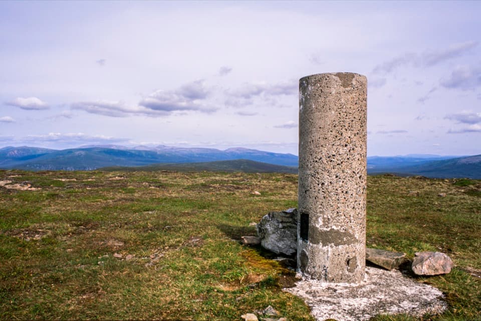
The track curves across moorland past Meall an Uilt Chreagaich, then ends near a small cairn marking an old path toward the bealach. That path is faint and the bealach is boggy; a stone ruin sits just west of the worst ground. Pick up a rough path on the far slope. It fades before the summit, so keep going to the trig point at 912 m. The western top shown on some maps is lower. The rounded summit has far-reaching views, with Cairn Toul standing out across the Cairngorms. Return the same way to the track fork.
At the fork, go left and stay on the main track around the felled area. The direct ascent north is very rough, with tussocky heather and young trees where mapped tracks have been removed. After about 1.6 km, take the older track and then the faint path up the heathery ridge; ATV tracks lead to the 857 m summit. This is the stronger viewpoint, with glimpses down Glen Feshie and north over Badenoch and Strathspey. Descend along the broad ridge past the Càrn Dearg Beag trig point. When the track fades, keep to the ridge and avoid the heavy ground to the east; the track through pinewoods reaches the glen north of Carnachuin. Follow the outward route back to the car park.
The route is exposed in poor weather and has long stretches of rough heather, bog and faint or missing paths. Bring reliable navigation and a backup, and don't set out if the burn crossing is unsafe. The southern slopes of Leathad reach Atholl Estates stalking ground; check the estate's current access advice during stalking season. Dogs may accompany walkers under Scotland's access guidance, but keep them under proper control around livestock and wildlife. No public transport to the start or confirmed toilets, water or food stops were found.
Wildlife
 159 sightingsRed DeerMost seen around 7 AMSighting map
 63 sightingsReindeerMost seen around 6 PMSighting map
 102 sightingsOspreyMost seen around 5 PMSighting map
 37 sightingsBlack GrouseMost seen around 4 AMSighting map
 72 sightingsRed GrouseMost seen around 6 PMSighting map
 82 sightingsPine MartenMost seen around 9 PMSighting map
Sighting maps show where each species has been reported across Cairngorms. Wildlife moves, so no sighting is guaranteed.
Keep exploring
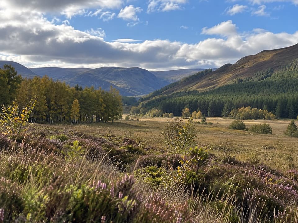 ModerateUpper Glen Feshie and Ruigh Aiteachain Trail18.9 km · 5.5 hr · At the trailheadThe bothy is a stop along the way, not the finish.
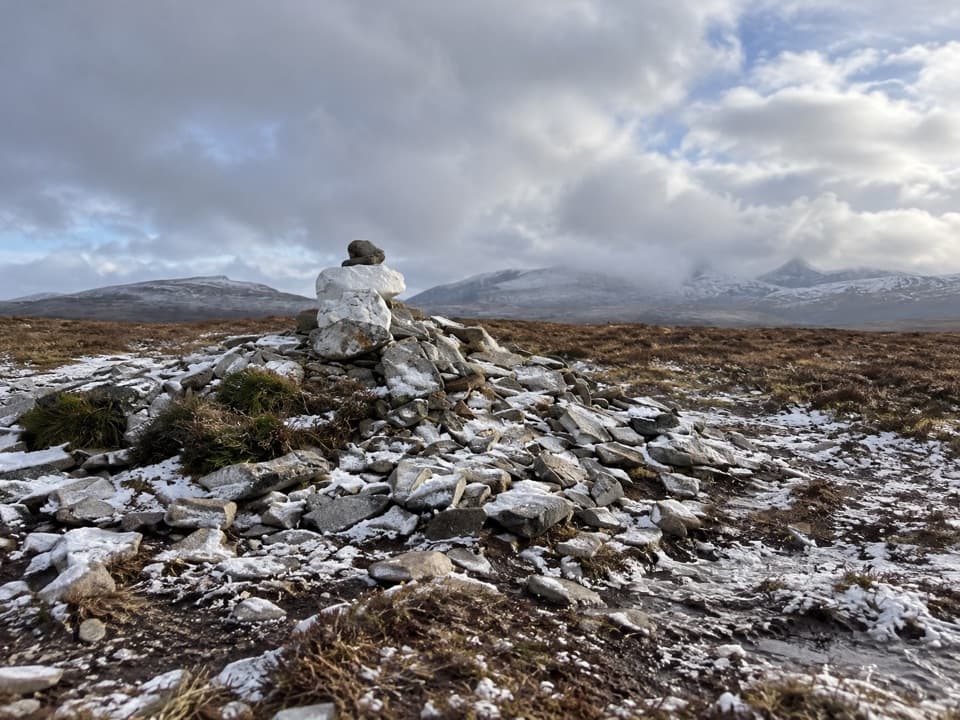 ChallengingMullach Clach a’ Bhlàir Trail21.7 km · 7 hr · At the trailheadRemote Munro circuit with a rough descent and broad, boggy plateau.
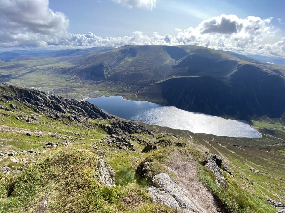 ChallengingSgòr Gaoith from Glen Feshie15.4 km · 6.5 hr · 2.8 km awayA pinewood climb to a cliff-edge summit above Loch Einich.
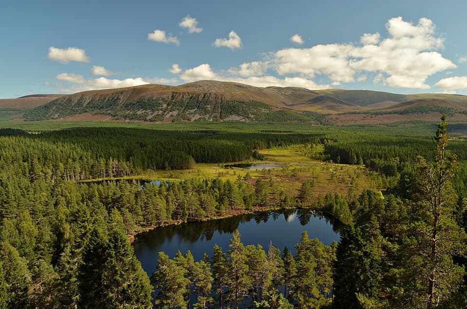 ChallengingFarleitter Crag Trail4 km · 1.5 hr · 4.1 km awayA steep climb through old pines to a crag above the lochans.
 ModerateUath Lochans Trail2.4 km · 1 hr · 4.1 km awayA short marked circuit pairs lochan views with marsh boardwalk.
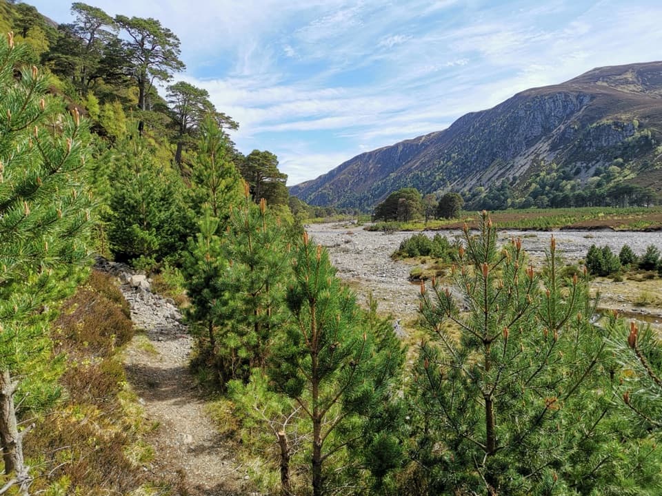 ChallengingGlen Feshie Drove Road35 km · 10 hr · 5.8 km awayA remote 35 km crossing from pine woods to open Cairngorm moorland
 ModerateThieves’ Road, Feshiebridge to Glen More17.9 km · 5 hr · 5.8 km awayA historic crossing links Inshriach Bothy and Loch Morlich.
 ModerateInshriach Forest Loop5.2 km · 2 hr · 6.1 km awayA gravel loop through Inshriach Forest, with western Cairngorm views.
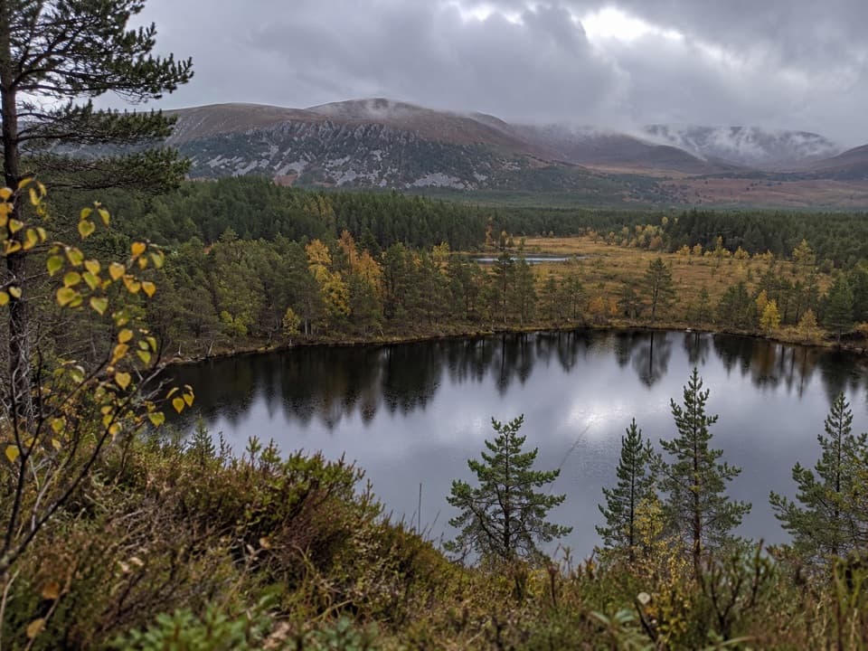 Sight · 4.1 km awayUath LochansSmall woodland lochs, with a steep climb to Strathspey views.
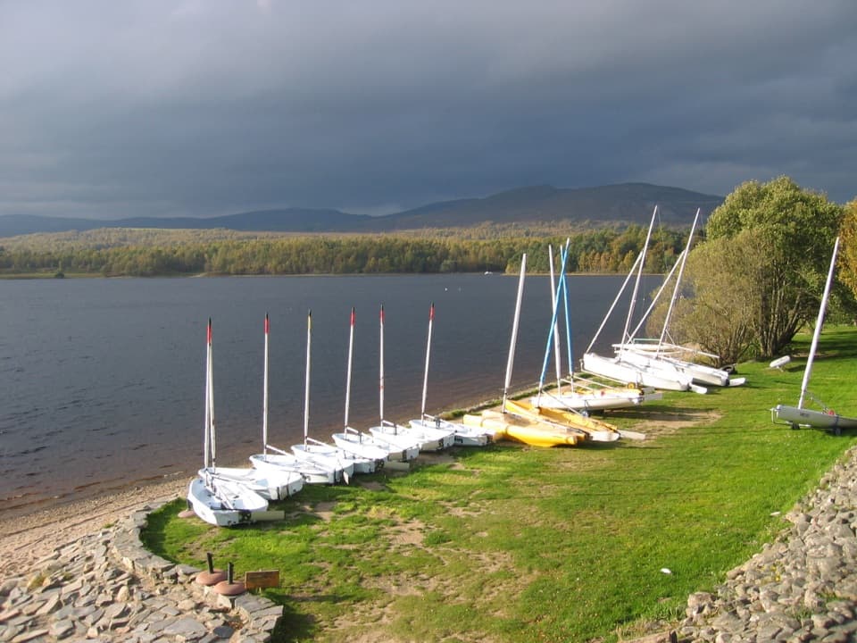 Sight · 6.1 km awayLoch Insh Outdoor CentrePaddle in summer, ski in winter, and eat beside the loch.
 Sight · 6.7 km awayHighland Wildlife ParkSee the reserve by car, then explore the animal habitats on foot.
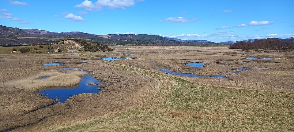 Sight · 7.6 km awayInsh MarshesA slow walk earns bird hides and wide floodplain views.
 Sight · 8.7 km awayRuthven BarracksCulloden's aftermath is written into these roofless barracks.
 Campground · 9.8 km awayDalraddy Holiday ParkA forested camping base with Thai food and activity options.
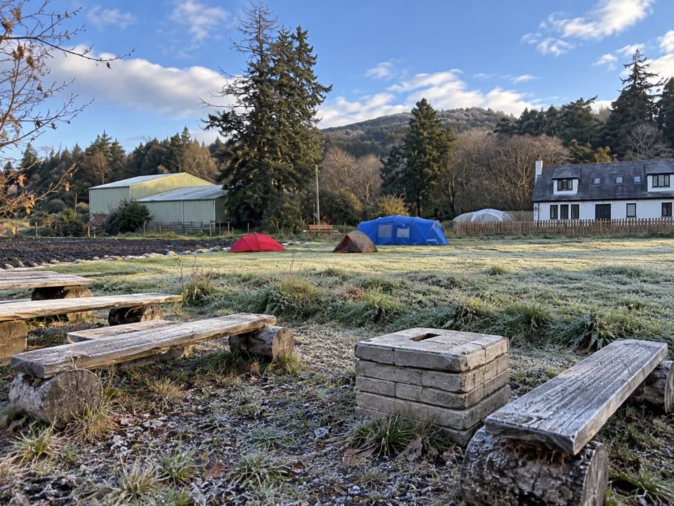 Campground · 9.8 km awayKingussie Camping & AireA practical motorhome stop beside Kingussie station.
 Sight · 10.9 km awayLoch an EileinAn island castle makes this easy loch loop memorable.
Parkwolf’s Cairngorms ranking

The audio tour guide for the drive, plus offline maps, trails, and wildlife heatmaps for when the signal drops.




