Parking
Use the main walkers’ car park about 4 km south of Feshiebridge on the road to Achlean, roughly 1 km short of Achlean. NatureScot identifies it as the reserve’s main access; there is no public transport to the start.
#16 of 260 trails in Cairngorms
Cairngorms National Park, SC
The bothy is a stop along the way, not the finish.
Overview
Map & elevation
Plan your hike

The highest, rockiest slopes around here are a summer buffet for grizzly bears.
Cairngorms Tour Guide
Parkwolf is a GPS audio tour guide for Cairngorms National Park. As you drive, it chimes in with what’s ahead: hidden gems, upcoming stops, history, geology, and wildlife, right through your car’s speakers.
See the Cairngorms audio tourRecorded for this trailhead
Upper Glen Feshie and Ruigh Aiteachain“You're coming up on the Glen Feshie walkers' car park, for a valley walk through recovering Scots pinewoods.”
Plays as you drive up to this trailhead in the Parkwolf Cairngorms Tour Guide.
More stories near here in the app
“Fantastic app with many points of information… It’s great to just turn on while you’re driving and it gives you an audio tour of the national Park. We love it!!!!”


Trail guide
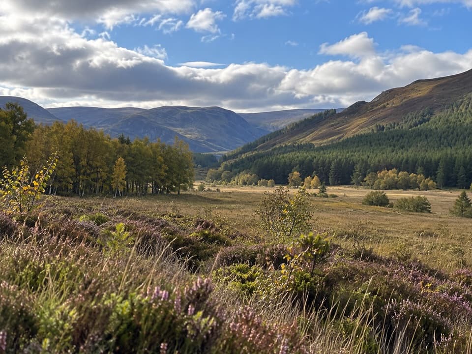
Upper Glen Feshie and Ruigh Aiteachain is an 11.75-mile (19 km) out-and-back from the Glen Feshie car park to the An Cagàin landslide, passing Ruigh Aiteachain bothy on the way. Allow five to six hours for about 320 m of ascent. It’s a long, remote valley walk rather than a summit climb: you get riverside paths, pinewood, heather and a view back down the glen. The bothy is a natural place to turn back if you don’t want the full route; the mapped return to it is about 12.2 km. Keep your plan flexible because two burn crossings can become unsafe or impassable after heavy rain.
Start at the walkers’ car park on the road to Achlean. Follow the tarmac briefly, turn left onto the track before Achlean, ignore the mast spur and keep right at the fork marked “Upper Glen Feshie” on a boulder. After a gate, the route leaves the road for a path above the river’s floodplain. It’s a mix of tracks and less obvious paths, with forks where the intended line can be easy to miss; carry a map and keep an eye on the route rather than expecting continuous waymarks.
The first fast burn is a ford. Farther on, stay left at the confluence where the old main path has washed out, then cross Allt Garbhlach, often by fording it. Logs may be set across in summer, but don’t count on them. The path climbs through pine and heather, drops to a grassy track, then rises again before opening onto the glen floor. The ground can be wet underfoot, and the river crossings are the main reason to choose a dry, settled day.
A small stone bothy sits where the pines thin out. It’s an open, basic shelter with a stove and composting toilet, not a staffed stop or a place to buy supplies, so bring food and water. Sir Edwin Landseer watched red deer in this area while working on The Monarch of the Glen. The story is often attached to the present bothy, but his preliminary sketches were made in a neighboring building that is now ruined.
The longer version continues through a more open stretch, then back into pines close to the River Feshie. Floods have cut away parts of the path, including steep slopes that need careful passage. At the An Cagàin landslide, a worn track crosses the slip; just beyond it, the view opens back down the glen. That look behind is the payoff for going beyond the bothy. Turn around here for the described walk and retrace the same corridor.
Glen Feshie’s old Scots pinewoods were struggling to regenerate under heavy deer browsing. After Wildland acquired the estate in 2006, lower deer numbers helped the native woodland begin to recover. The route moves between open ground and pinewood, so the changing edge of the forest is part of the walk, not just a backdrop. Dogs are allowed under Scotland’s access rules, but keep them under proper control.
Wildlife
 159 sightingsRed DeerMost seen around 7 AMSighting map
 63 sightingsReindeerMost seen around 6 PMSighting map
 102 sightingsOspreyMost seen around 5 PMSighting map
 37 sightingsBlack GrouseMost seen around 4 AMSighting map
 72 sightingsRed GrouseMost seen around 6 PMSighting map
 82 sightingsPine MartenMost seen around 9 PMSighting map
Sighting maps show where each species has been reported across Cairngorms. Wildlife moves, so no sighting is guaranteed.
Keep exploring
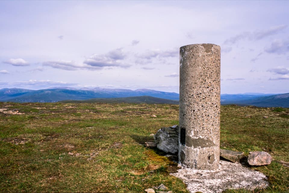 ChallengingLeathad an Taobhain and Càrn Dearg Mòr36.5 km · 9.5 hr · At the trailheadTwo remote Corbetts, with the better view on Càrn Dearg Mòr.
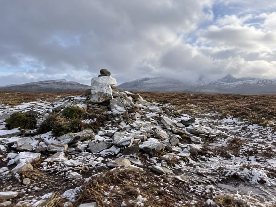 ChallengingMullach Clach a’ Bhlàir Trail21.7 km · 7 hr · At the trailheadRemote Munro circuit with a rough descent and broad, boggy plateau.
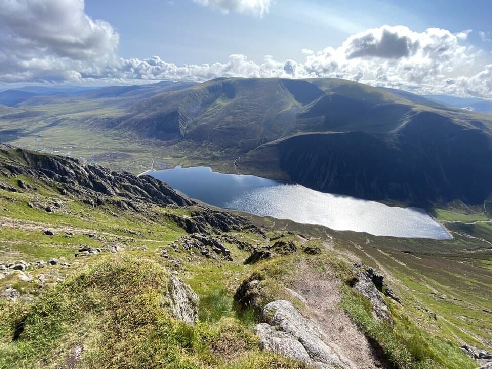 ChallengingSgòr Gaoith from Glen Feshie15.4 km · 6.5 hr · 2.8 km awayA pinewood climb to a cliff-edge summit above Loch Einich.
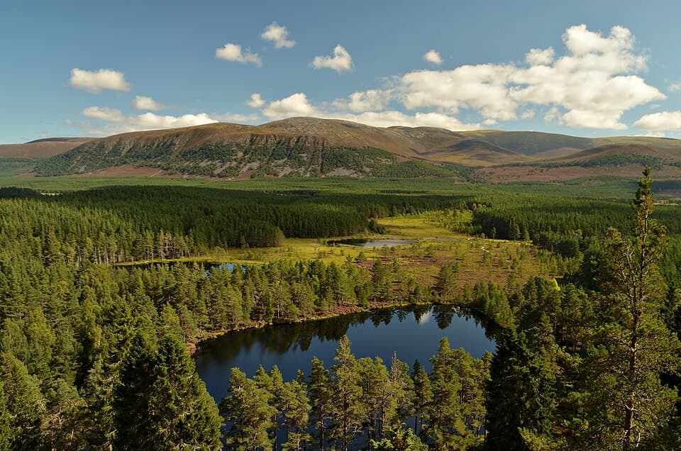 ChallengingFarleitter Crag Trail4 km · 1.5 hr · 4.1 km awayA steep climb through old pines to a crag above the lochans.
 ModerateUath Lochans Trail2.4 km · 1 hr · 4.1 km awayA short marked circuit pairs lochan views with marsh boardwalk.
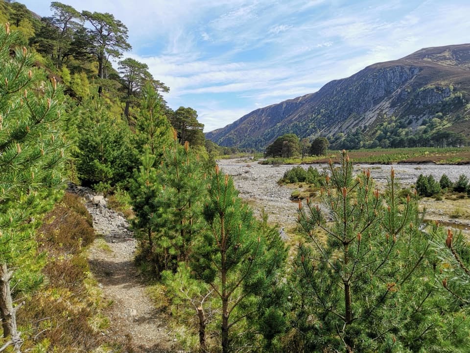 ChallengingGlen Feshie Drove Road35 km · 10 hr · 5.8 km awayA remote 35 km crossing from pine woods to open Cairngorm moorland
 ModerateThieves’ Road, Feshiebridge to Glen More17.9 km · 5 hr · 5.8 km awayA historic crossing links Inshriach Bothy and Loch Morlich.
 ModerateInshriach Forest Loop5.2 km · 2 hr · 6.1 km awayA gravel loop through Inshriach Forest, with western Cairngorm views.
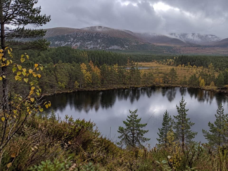 Sight · 4.1 km awayUath LochansSmall woodland lochs, with a steep climb to Strathspey views.
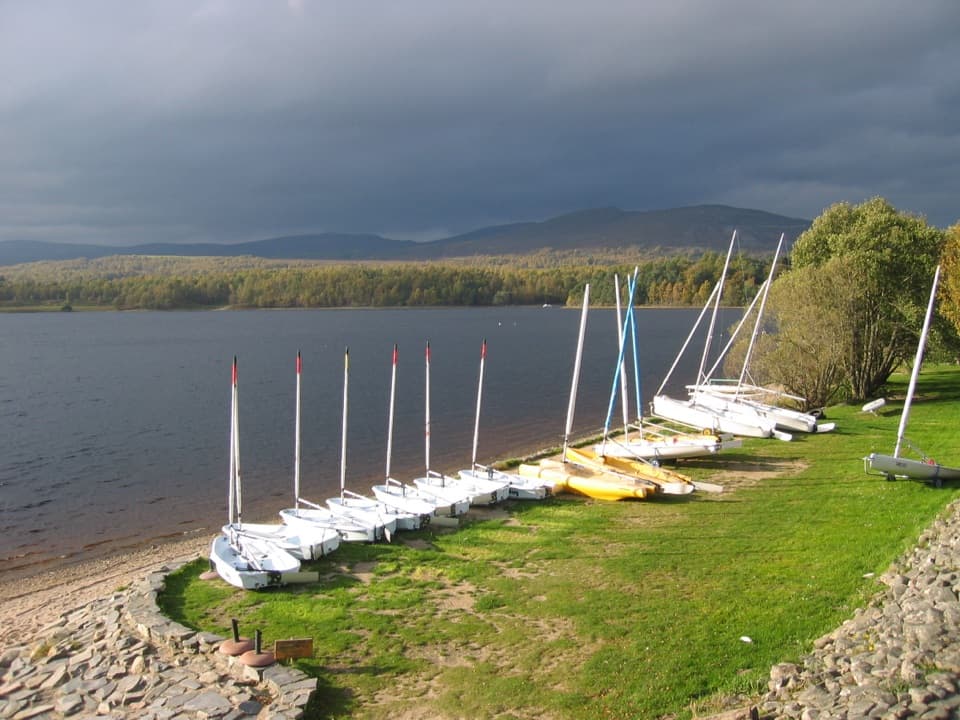 Sight · 6.1 km awayLoch Insh Outdoor CentrePaddle in summer, ski in winter, and eat beside the loch.
 Sight · 6.7 km awayHighland Wildlife ParkSee the reserve by car, then explore the animal habitats on foot.
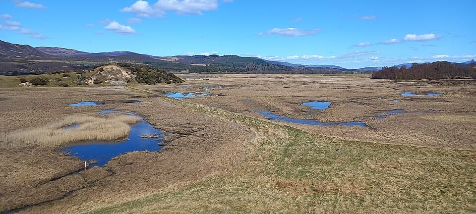 Sight · 7.6 km awayInsh MarshesA slow walk earns bird hides and wide floodplain views.
 Sight · 8.7 km awayRuthven BarracksCulloden's aftermath is written into these roofless barracks.
 Campground · 9.8 km awayDalraddy Holiday ParkA forested camping base with Thai food and activity options.
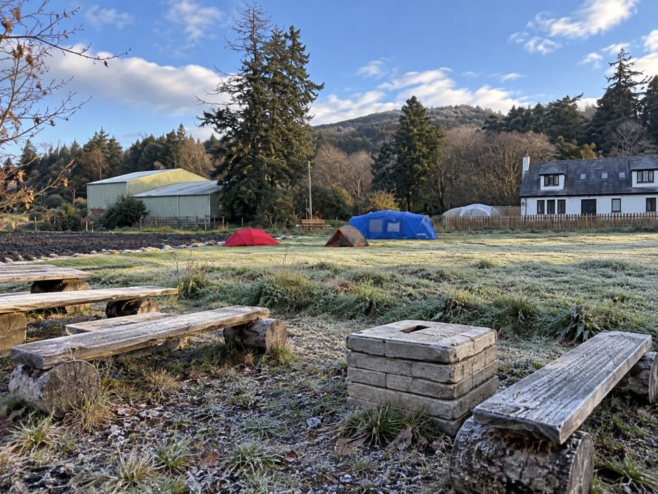 Campground · 9.8 km awayKingussie Camping & AireA practical motorhome stop beside Kingussie station.
 Sight · 10.9 km awayLoch an EileinAn island castle makes this easy loch loop memorable.
Parkwolf’s Cairngorms ranking

The audio tour guide for the drive, plus offline maps, trails, and wildlife heatmaps for when the signal drops.




