Mullach Clach a’ Bhlàir Trail in Cairngorms National Park

Cairngorms National Park, SC

Mullach Clach a’ Bhlàir Trail

Remote Munro circuit with a rough descent and broad, boggy plateau.

Length
21.7km
Time
7hr
Elev. change
685m
Difficulty
Challenging
  • Loop
  • Dogs allowed
  • High point 1,006 m
  • #107 of 260 in Cairngorms

Hear the audio tour

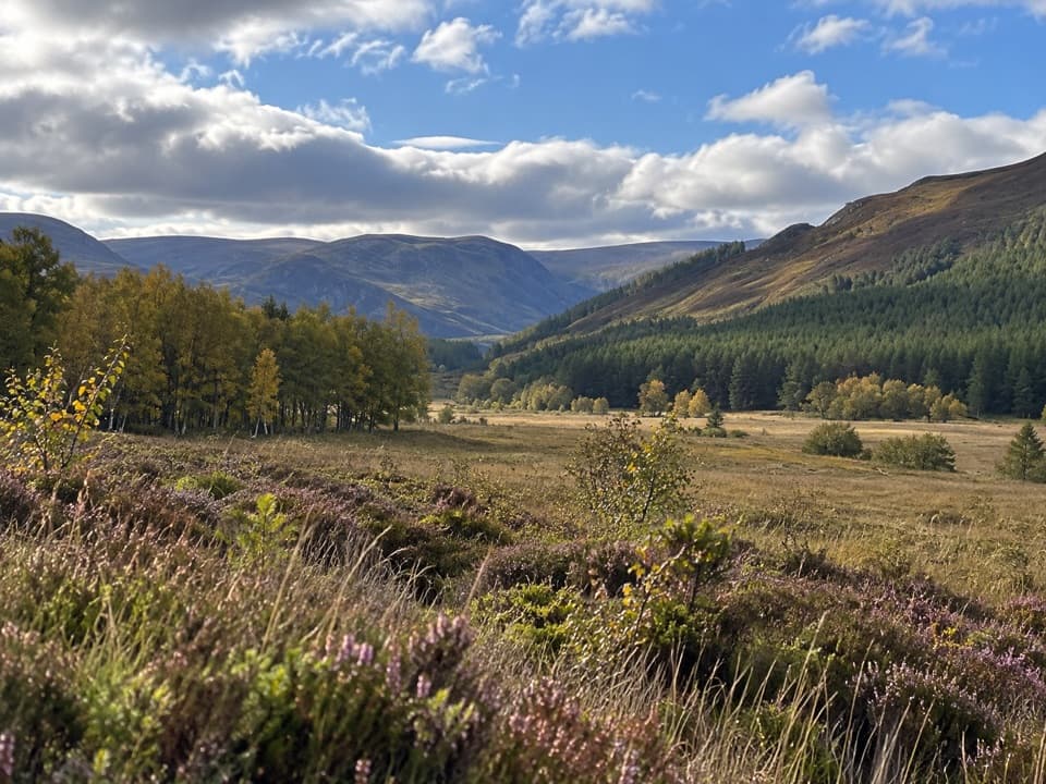
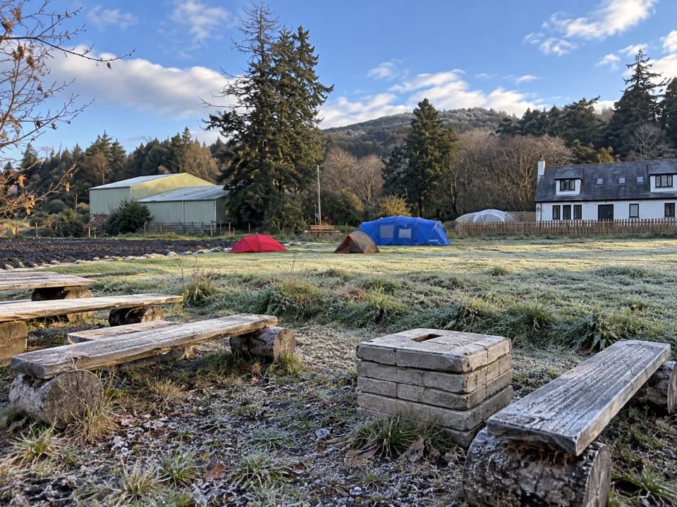
Upper Glen Feshie and Ruigh Aiteachain

Overview

About Mullach Clach a’ Bhlàir Trail

Why go

  • A varied climb from Glen Feshie through the dramatic Coire Garbhlach to open high ground.
  • A true circuit returns by a different, quieter ridge and regenerating pine woodland.

Heads up

  • Several unbridged burns and a rough, eroded return add time and effort.
  • The broad wet summit plateau can be difficult to navigate in poor visibility.

Map & elevation

The route

Loading the Cairngorms map
Full map
Elevation321–1,006 m
TrailheadGlen Feshie car park on the road to Achlean57.06323, -3.89712
Keep this map with you offline in the Parkwolf app

Plan your hike

Before you go

Parking

Use the main walker-access car park on the road to Achlean, about 4 km south of Feshiebridge. One route description says parking is not permitted at its stated car-park start; check the signs and do not assume roadside parking is allowed. No alternative was verified.

Safety

Several burns are forded without bridges and can become difficult or impassable after heavy rain. The high plateau is broad, wet and difficult to navigate in mist; the Druim nam Bo descent is faint, rough and eroded.

3 active Cairngorms alerts

  • CautionStorm Boelo high windsStorm Boelo will bring extremely windy weather to the Cairngorms; take extra care and limit time outdoors. - The Park Authority expects the very windy weather to last until Monday 26 October.Official details
  • ClosureGlenmore wildfire closures and dangerous treesWildfire damage has closed Allt Mor car park and the path to Sugarbowl/Utsi’s Bridge; keep out of the closed area.Official details
See all 3 alerts
A park ranger sits on a dash-mounted phone, talking, as Parkwolf’s Tour Guide plays “Army Cutworm Moths: A Grizzly Bear Buffet” on Grand Loop Road below Dunraven Pass in Yellowstone
Parkwolf Tour GuideThe highest, rockiest slopes around here are a summer buffet for grizzly bears.

Cairngorms Tour Guide

Your drive to Mullach Clach a’ Bhlàir Trail, narrated.

Parkwolf is a GPS audio tour guide for Cairngorms National Park. As you drive, it chimes in with what’s ahead: hidden gems, upcoming stops, history, geology, and wildlife, right through your car’s speakers.

See the Cairngorms audio tour

Recorded for this trailhead

Upper Glen Feshie and Ruigh Aiteachain
0:00 / 0:25
“You're coming up on the Glen Feshie walkers' car park, for a valley walk through recovering Scots pinewoods.”

Plays as you drive up to this trailhead in the Parkwolf Cairngorms Tour Guide.

More stories near here in the app

  • A River with Many Channels
  • Sgòr Gaoith from Allt Ruadh
  • Uath Lochans and Farleitter Crag
  • How Ice Hollows a Mountain
  • 298 audio storiesacross Cairngorms’s roads, triggered by GPS as you drive
  • Wildlife heatmapsfor Red Deer, Reindeer, Osprey, and 13 more
  • Works offlinemaps, 260 trails, 90 places, and audio download before you lose signal
  • CarPlay readysimple controls built for the drive
★★★★★
“Fantastic app with many points of information… It’s great to just turn on while you’re driving and it gives you an audio tour of the national Park. We love it!!!!”
JMJamesApp Store review
Download Parkwolf on the App StoreGet Parkwolf on Google Play

4.7 from 8,600+ ratings

Trail guide

Hiking Mullach Clach a’ Bhlàir Trail

A remote full-day circuitThis is a 13.5-mile (21.

This is a 13.5-mile (21.75 km) loop from Glen Feshie to the 1,019 m Munro of Mullach Clach a’ Bhlàir, ascending by Coire Garbhlach and returning over Druim nam Bo. Allow about 6.5–7.5 hours for rough ground and roughly 870 m of ascent. It is a hard, remote hill walk rather than a marked path hike; the mapped circuit shares part of its Glen Feshie approach on the way back.

Glen Feshie and the burnsFrom the road toward Achlean, the route leaves the tarmac for a track, then keeps above the…

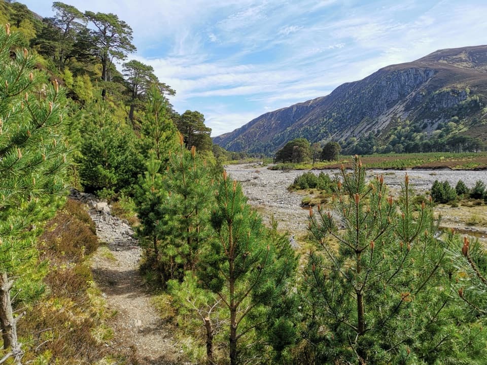
From the road toward Achlean, the route leaves the tarmac for a track, then keeps above the Feshie floodplain. The first fast burn beyond a gate has no bridge and can be difficult or impassable after heavy rain. A later crossing of Allt Garbhlach is also a ford; the described route takes the left-hand bank path rather than continuing toward the river junction.

Climbing through Coire GarbhlachThe climb follows tracks from pine and heather onto open hillside, rising above Coire Caol…

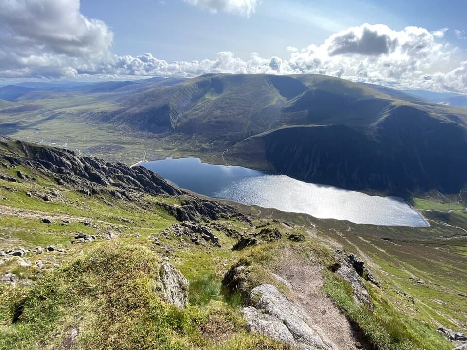
The climb follows tracks from pine and heather onto open hillside, rising above Coire Caol toward the Coire Garbhlach rim. Short detours to the edge look into the steep, twisting corrie. The broad vehicle track is easy to follow in good visibility, though it leaves an obvious line across the slopes.

A broad summit plateauNear the top, take the right fork in the vehicle track and follow a faint path for the final…

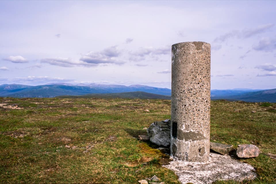
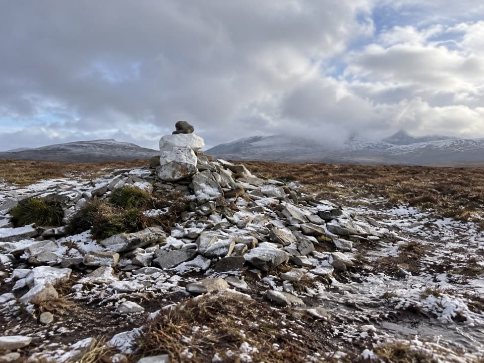
Near the top, take the right fork in the vehicle track and follow a faint path for the final gentle rise to the cairn. The summit is broad and relatively flat, with a wide, boggy plateau stretching toward Braeriach and Càrn Toul. This open ground is a defining part of the walk, but it offers few strong navigation features when cloud or mist closes in.

Rough return over Druim nam BoThe circuit descends southwest on a faint ATV track over Druim nam Bo, passing south of Lochan…

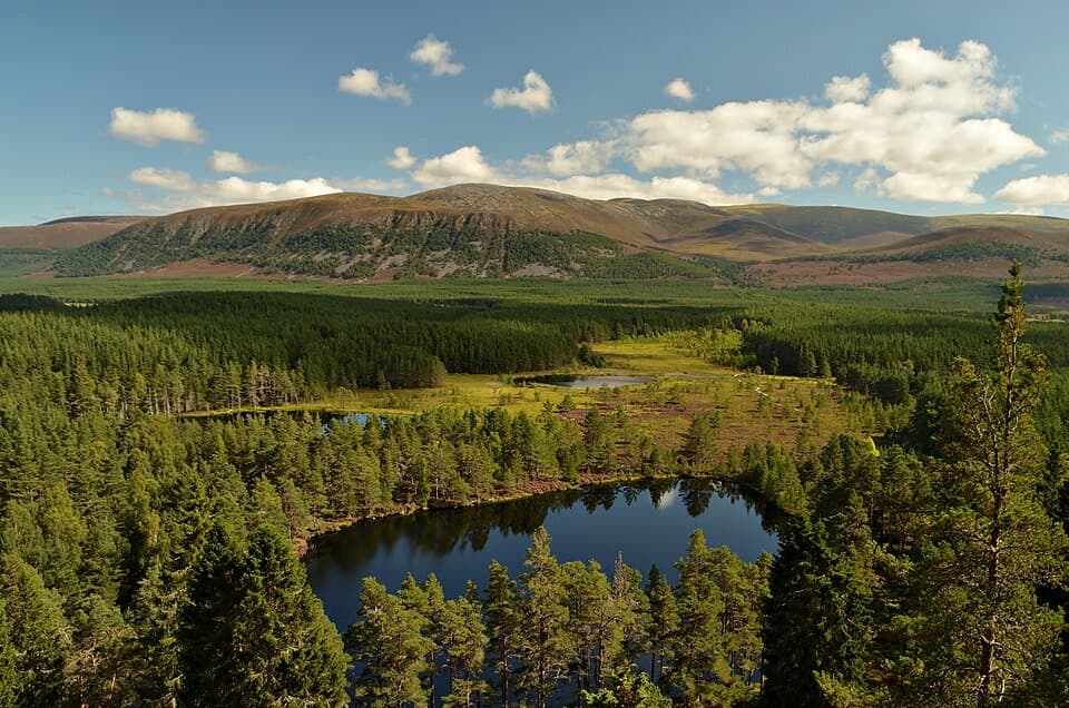
The circuit descends southwest on a faint ATV track over Druim nam Bo, passing south of Lochan nam Bo before turning back toward Glen Feshie. Eroded steeper sections and short boggy patches make the tread hard to pick out. The lower return crosses Allt Coire nam Meur and Allt Choire Dhomhain, then passes through regenerating native woodland with Scots pine and juniper before rejoining the outward route.

Access and preparationNatureScot identifies the main walker-access car park on the road to Achlean, about 4 km south…

NatureScot identifies the main walker-access car park on the road to Achlean, about 4 km south of Feshiebridge. A route description says parking is not permitted at its stated car-park start, so check local signs and use only clearly permitted spaces; no alternative was confirmed. There are no waymarked trails on the reserve. Dogs may accompany walkers under Scotland’s responsible-access rules; keep them under close control around livestock and wildlife.

Wildlife

Wildlife in Cairngorms

All Cairngorms wildlife maps

Sighting maps show where each species has been reported across Cairngorms. Wildlife moves, so no sighting is guaranteed.

Keep exploring

Near Mullach Clach a’ Bhlàir Trail

See it all on the map

Trails that start nearby

Places near the trailhead

Parkwolf’s Cairngorms ranking

Top-rated trails in Cairngorms

All 260 trails
  1. 1Loch an Eilein CircuitEasy · 5 km
  2. 2Lairig GhruChallenging · 30.6 km
  3. 3Ben Macdui and Cairn Gorm CircuitChallenging · 19.8 km
  4. 4Loch Morlich TrailModerate · 5.6 km
  5. 5Meall a’ Bhuachaille CircuitChallenging · 8 km
  6. 6Loch Muick CircuitModerate · 12.5 km

Take Parkwolf to Cairngorms.

The audio tour guide for the drive, plus offline maps, trails, and wildlife heatmaps for when the signal drops.

4.7 from 8,600+ ratings

Download Parkwolf on the App StoreGet Parkwolf on Google Play