Overview
About Lower Dark Horse East Overlook
Why stop
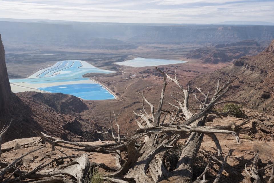
- An unusual mix of blue potash ponds, river canyon, and distant mountains.
Heads up
- Remote access follows narrow, rocky trail with weak cell reception.
Map
Where it is

The highest, rockiest slopes around here are a summer buffet for grizzly bears.
Dead Horse Point Tour Guide
Your drive to Lower Dark Horse East Overlook, narrated.
Parkwolf is a GPS audio tour guide for Dead Horse Point State Park. As you drive, it chimes in with what’s ahead: hidden gems, upcoming stops, history, geology, and wildlife, right through your car’s speakers.
Recorded for this place
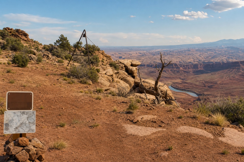
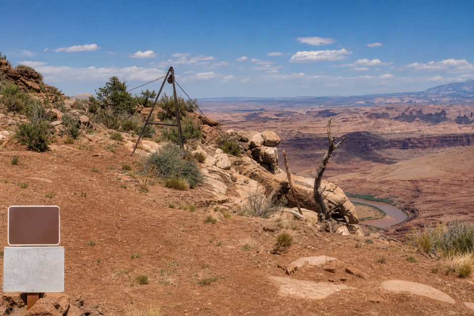
Intrepid Trailhead and Cable Line“You're approaching the Intrepid trailhead, the access for a longer outing to the Cable Line hoist. Its rusted tripod and pulley helped oil workers lift equipment from the river in the early nineteen fifties.”
Plays as you drive up to Lower Dark Horse East Overlook in the Parkwolf Dead Horse Point Tour Guide.
More stories near here in the app
- Moenkopi Yurts
- Visitor Center Rim Trails
- Visitor Center and Desert View
- Kayenta Campground
- 11 audio storiesacross Dead Horse Point’s roads, triggered by GPS as you drive
- Wildlife heatmapsfor Raven, Whiptail Lizard, Fence Lizard, and 1 more
- Works offlinemaps, 21 trails, 22 places, and audio download before you lose signal
- CarPlay readysimple controls built for the drive
“Fantastic app with many points of information… It’s great to just turn on while you’re driving and it gives you an audio tour of the national Park. We love it!!!!”


Guide
More about Lower Dark Horse East Overlook
Make it an east-rim trail stopLower Dark Horse East Overlook is a remote rim lookout at the eastern end of Lower Dark Horse,…
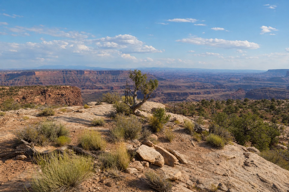
Lower Dark Horse East Overlook is a remote rim lookout at the eastern end of Lower Dark Horse, in the park's far-east mixed-use network. It is a trail destination, not a roadside pullout: take the east fork for the separate 0.2-mile spur to the viewpoint. The route drops about 100 feet from Cable Line to the rim, so allow for the climb back out. The park posts maps at junctions and warns that this far-east section needs basic route-finding; cell reception is spotty. If you're riding, expect narrow, rocky singletrack. Pick this for a proper east-rim outing, not a quick stop from the road.
The view from the rimThe overlook faces a broad red-rock basin, with bright potash ponds below, the Colorado River…
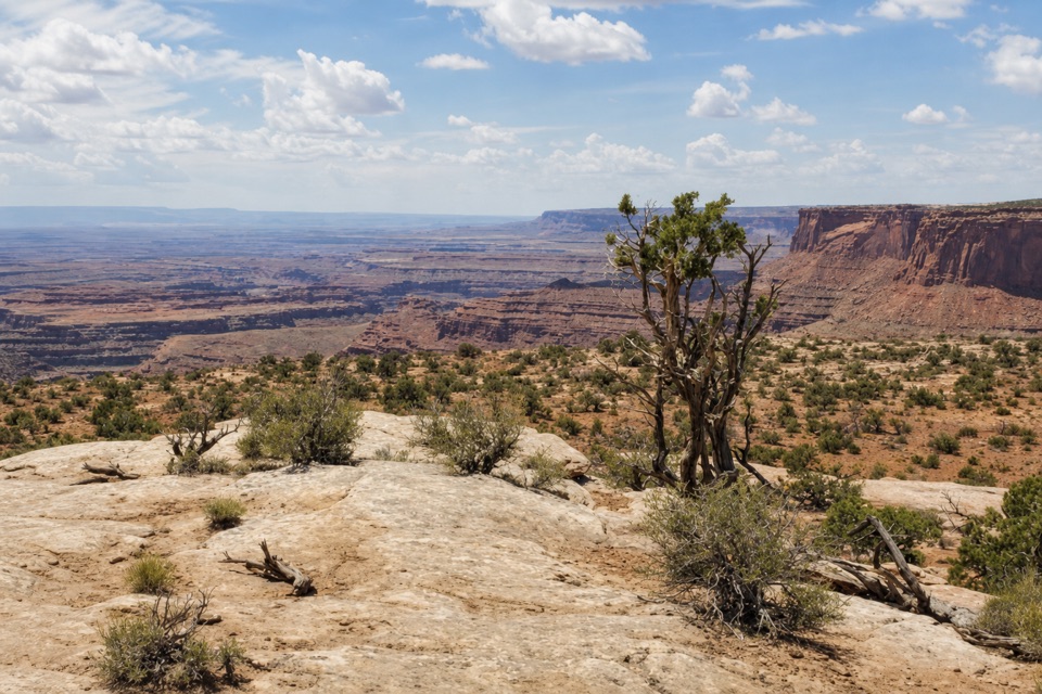
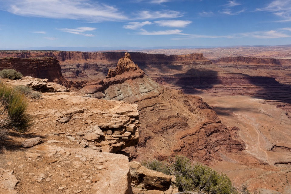
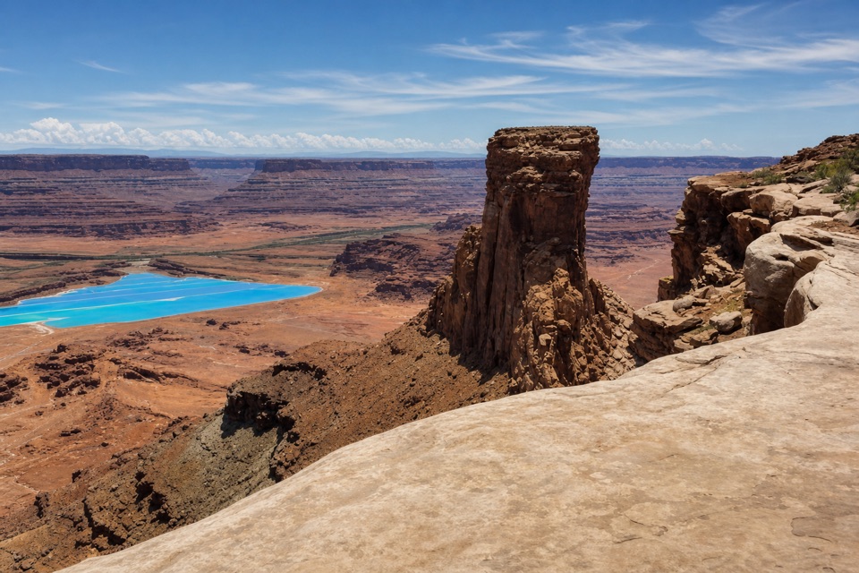
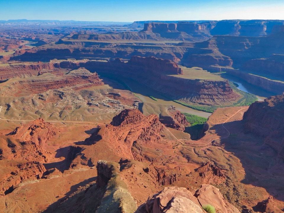
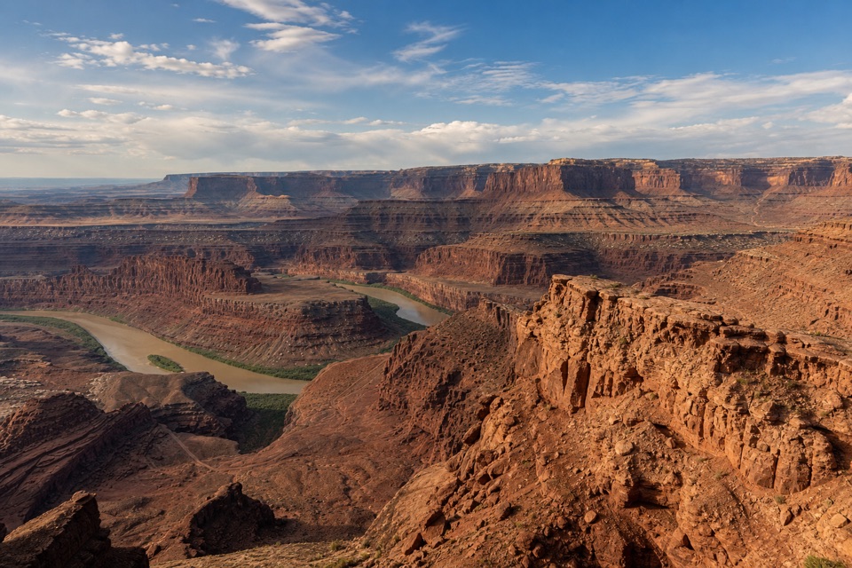
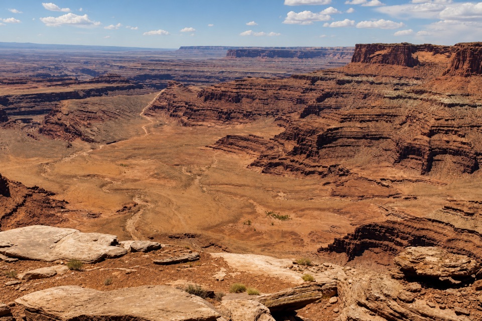
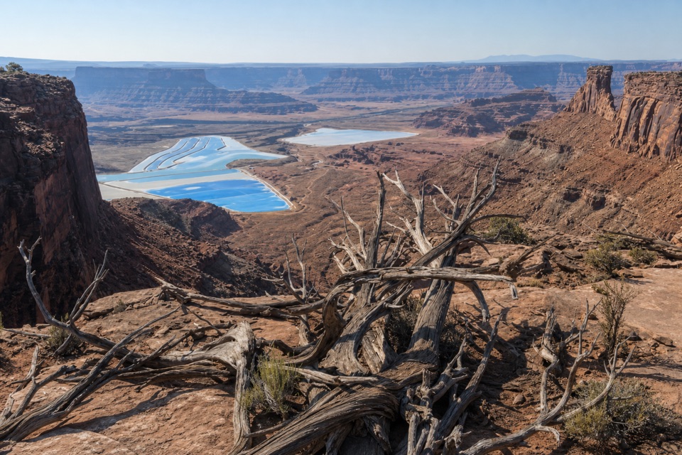
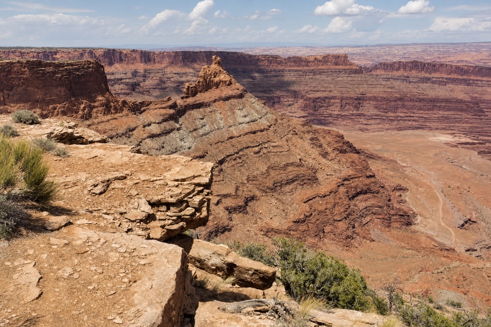
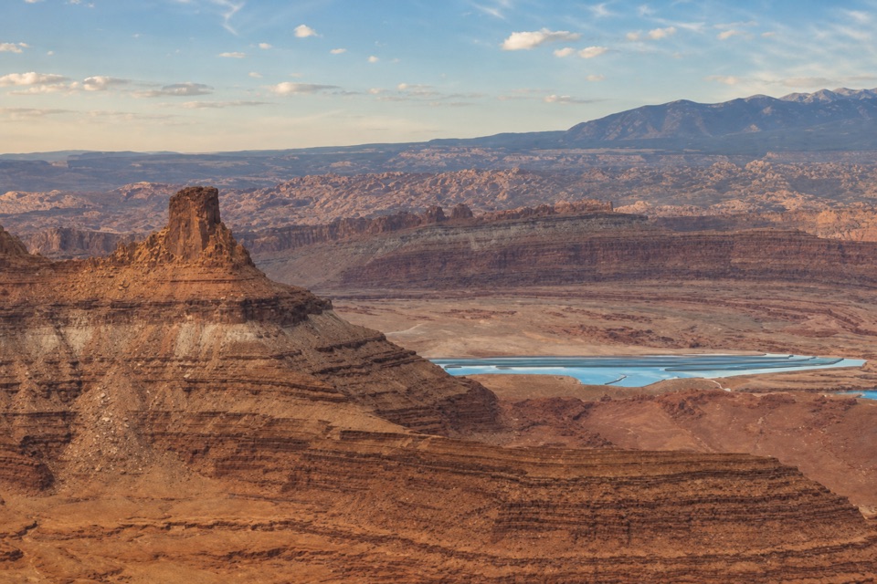
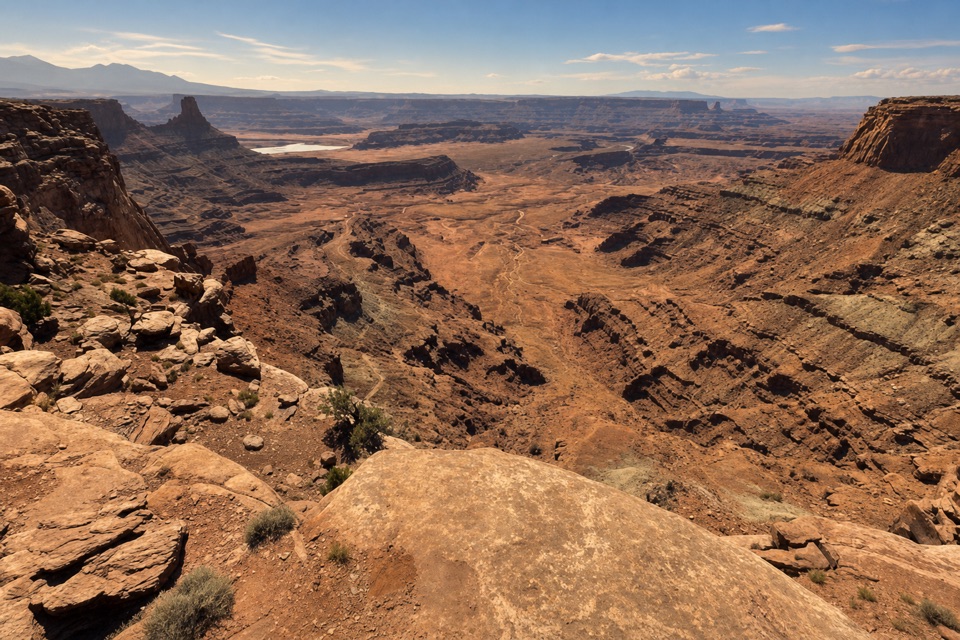
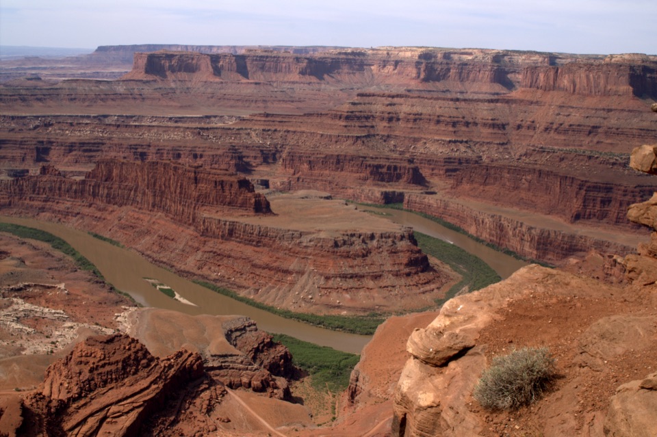
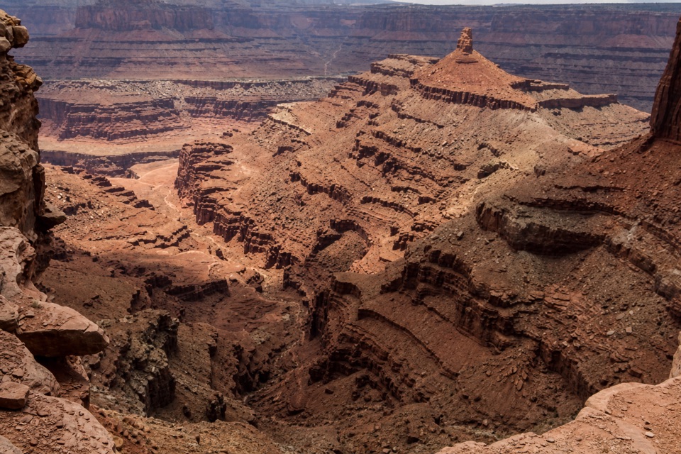
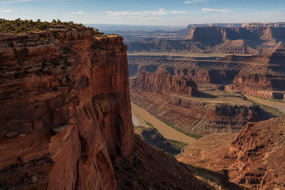
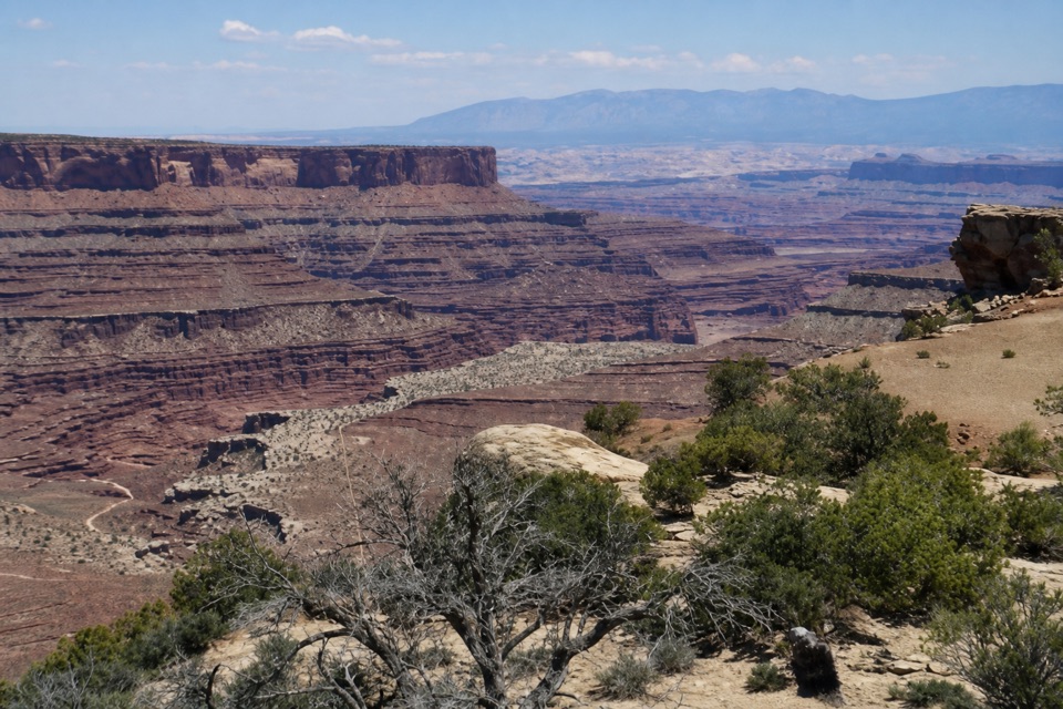
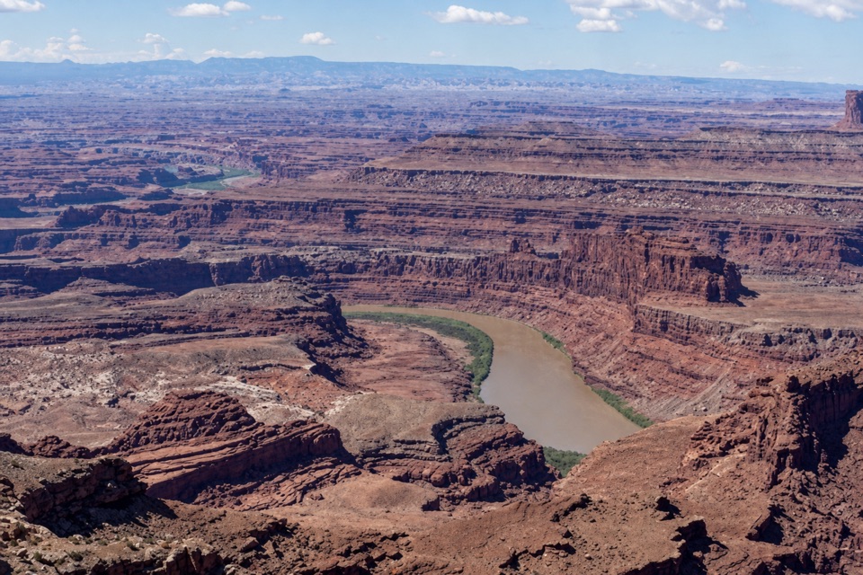
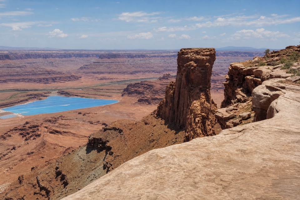
The overlook faces a broad red-rock basin, with bright potash ponds below, the Colorado River corridor beyond and the La Sal Mountains on the horizon. A blocky sandstone pillar beside the rim makes a useful foreground anchor: keep it in the frame with the ponds lower down and you get both the nearby rock and the scale of the country beyond.
Why the ponds are blueThose rectangles are industrial evaporation ponds, not natural lakes.
Those rectangles are industrial evaporation ponds, not natural lakes. Colorado River water is sent underground to dissolve potash-bearing salts, then the brine comes back to the surface to evaporate. Blue dye helps the ponds absorb sunlight; as water leaves and salts concentrate, their color can shift toward tan. The potash lies in the Paradox Formation, deposited about 315 to 310 million years ago through repeated marine flooding and evaporation.
Wildlife
Wildlife in Dead Horse Point
 33 sightingsRavenMost seen around 6 PMSighting map
 16 sightingsWhiptail LizardMost seen around 10 AMSighting map
 34 sightingsFence LizardMost seen around 8 AMSighting map
 42 sightingsSide-blotched LizardMost seen around 9 AMSighting map
Sighting maps show where each species has been reported across Dead Horse Point. Wildlife moves, so no sighting is guaranteed.