Overview
About Lower Dark Horse West Overlook
Why stop
- West-facing view across distinctive layered canyon walls
Heads up
- Remote access requires route-finding on difficult shared trails
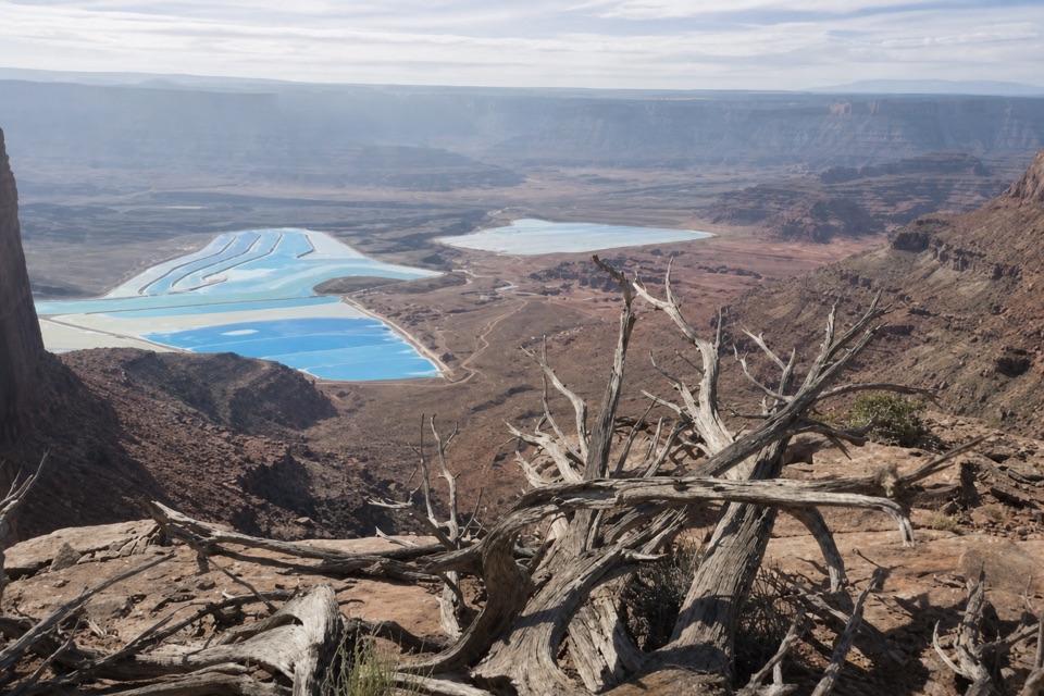
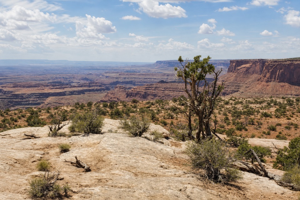
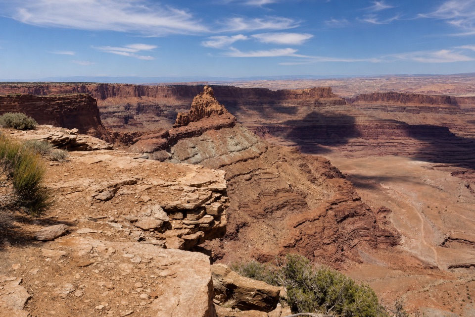
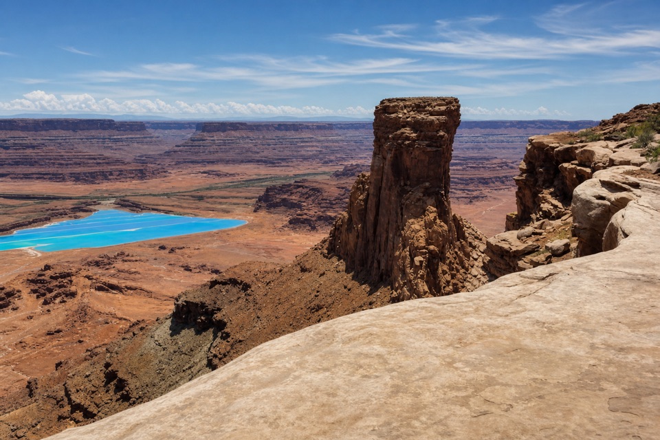
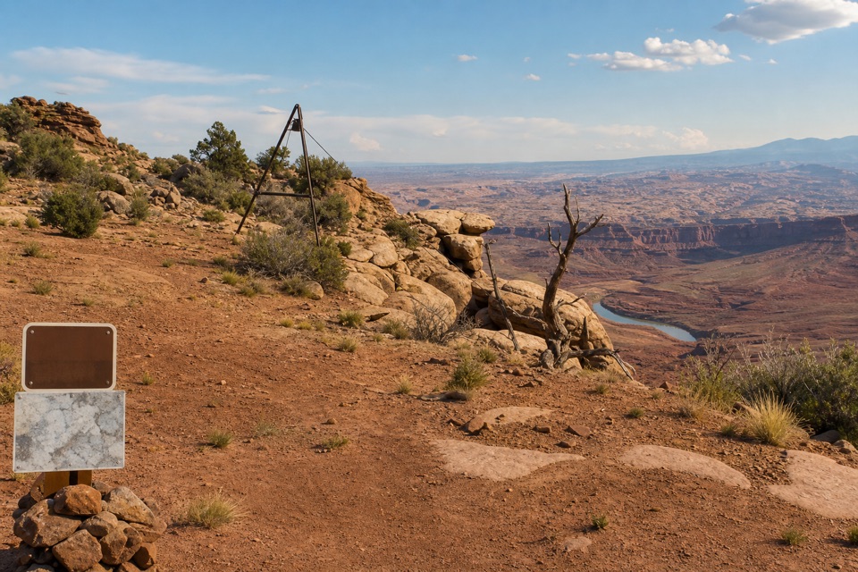
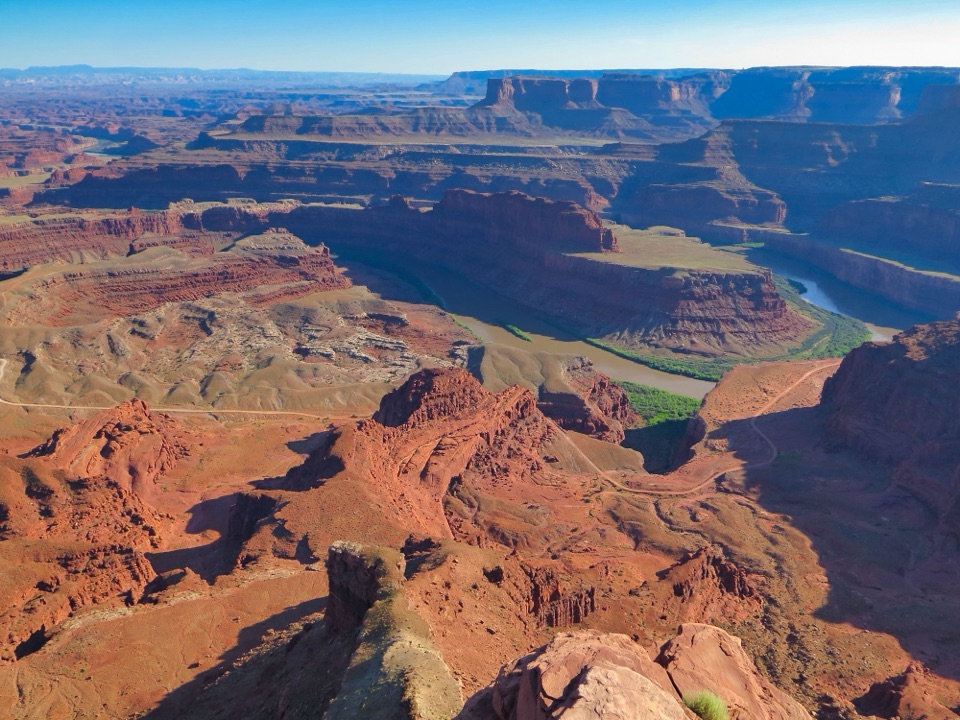
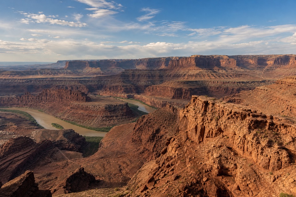
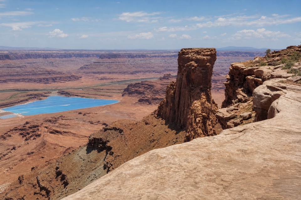
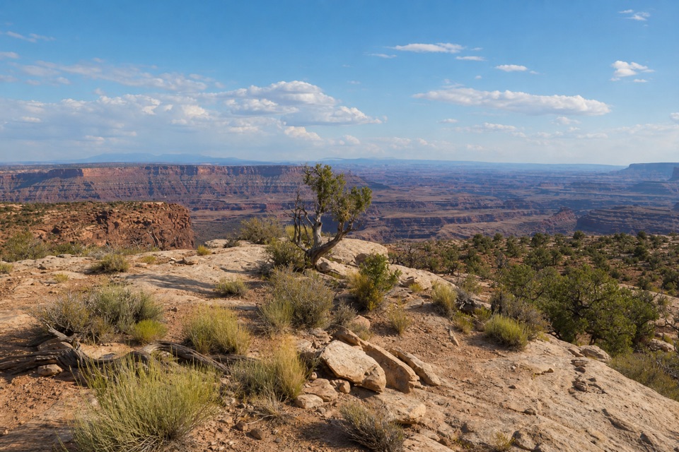
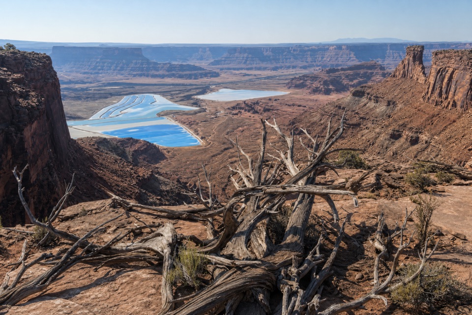
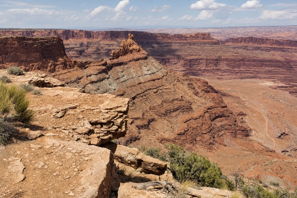
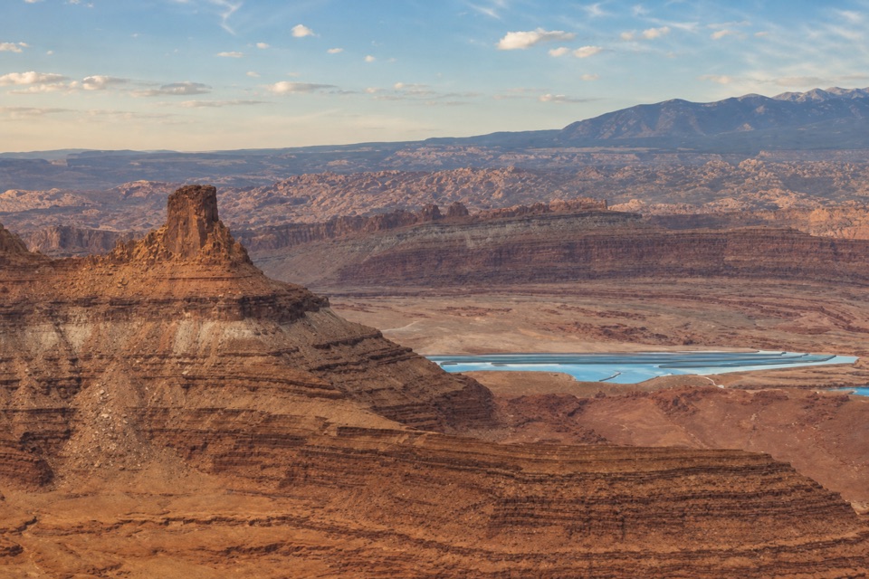
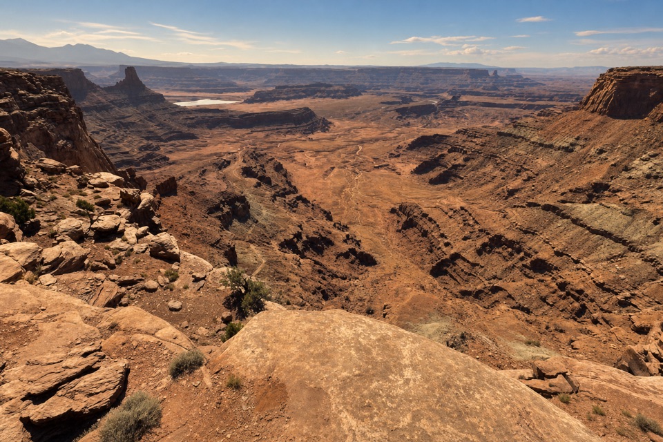
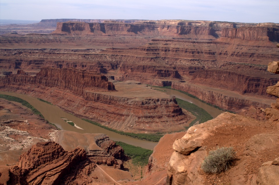
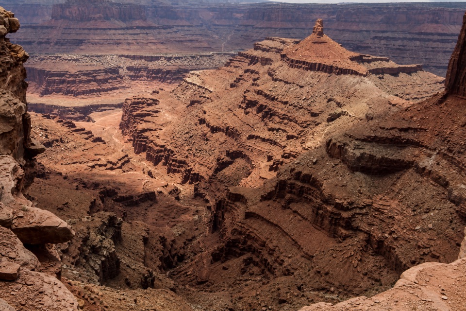
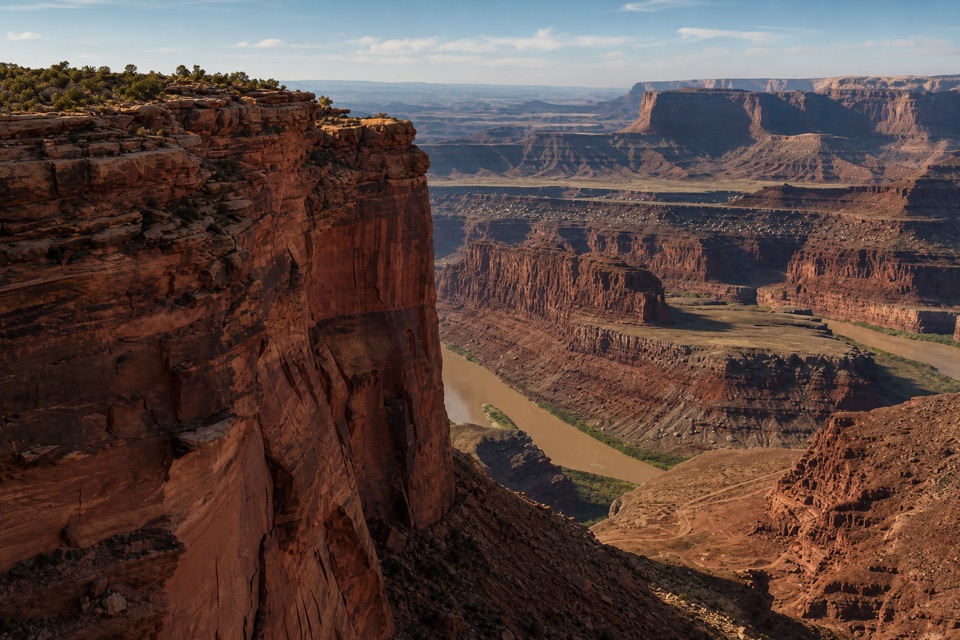
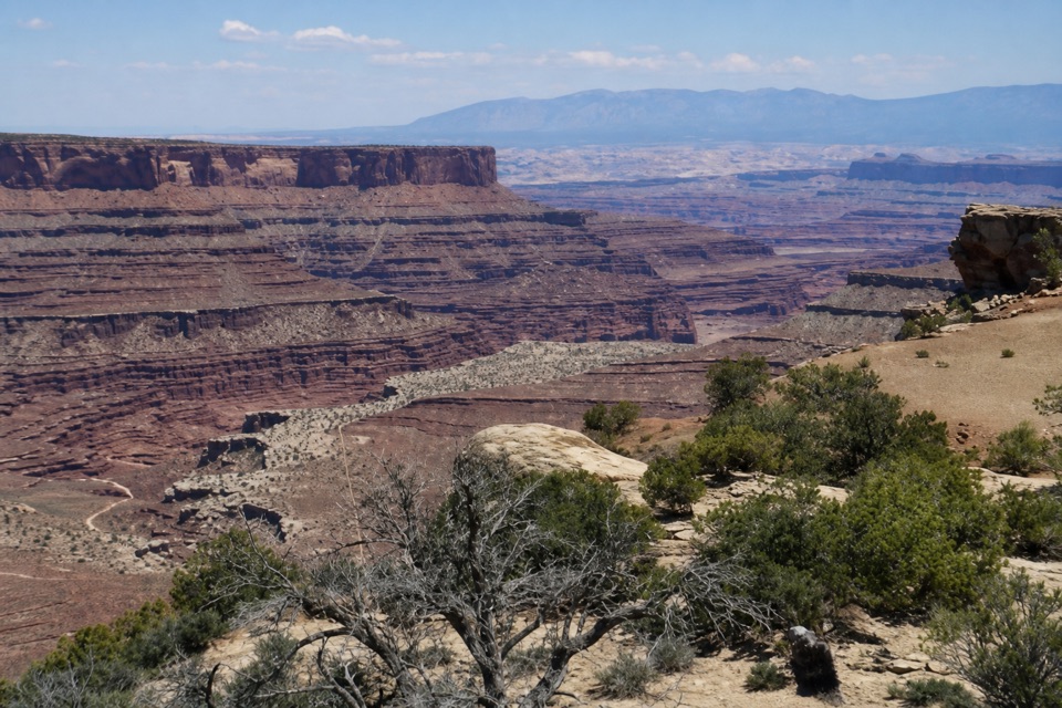
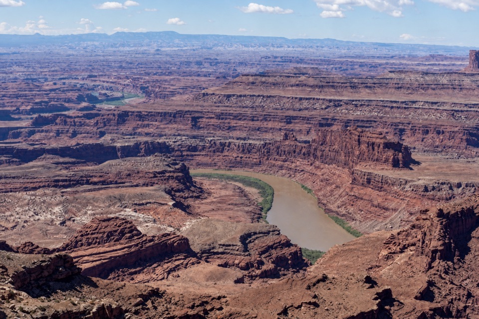
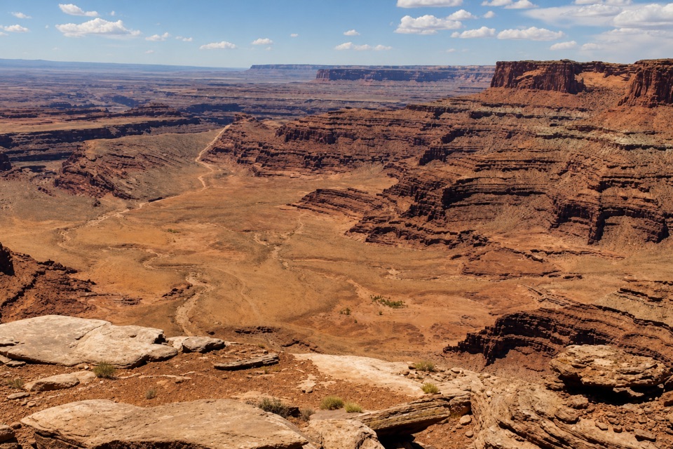
Lower Dark Horse West Overlook is a small rim viewpoint at the western end of a split spur on Dead Horse Point’s remote east-rim trail network. It looks west into a broad, sharply layered canyon. Add it if you’re already riding or hiking this network; this is a trail destination, not a roadside stop.
 Parkwolf’s verdictIs it worth the spur?
Map
Where it is

The highest, rockiest slopes around here are a summer buffet for grizzly bears.
Dead Horse Point Tour Guide
Your drive to Lower Dark Horse West Overlook, narrated.
Parkwolf is a GPS audio tour guide for Dead Horse Point State Park. As you drive, it chimes in with what’s ahead: hidden gems, upcoming stops, history, geology, and wildlife, right through your car’s speakers.
Recorded for this place
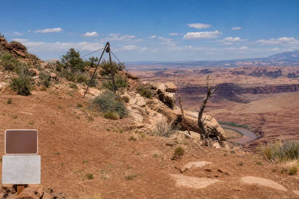
Intrepid Trailhead and Cable Line“You're approaching the Intrepid trailhead, the access for a longer outing to the Cable Line hoist. Its rusted tripod and pulley helped oil workers lift equipment from the river in the early nineteen fifties.”
Plays as you drive up to Lower Dark Horse West Overlook in the Parkwolf Dead Horse Point Tour Guide.
More stories near here in the app
- Moenkopi Yurts
- Visitor Center Rim Trails
- Visitor Center and Desert View
- Kayenta Campground
- 11 audio storiesacross Dead Horse Point’s roads, triggered by GPS as you drive
- Wildlife heatmapsfor Raven, Whiptail Lizard, Fence Lizard, and 1 more
- Works offlinemaps, 21 trails, 22 places, and audio download before you lose signal
- CarPlay readysimple controls built for the drive
“Fantastic app with many points of information… It’s great to just turn on while you’re driving and it gives you an audio tour of the national Park. We love it!!!!”


Guide
More about Lower Dark Horse West Overlook
Budget for the way inThe west spur is 0.
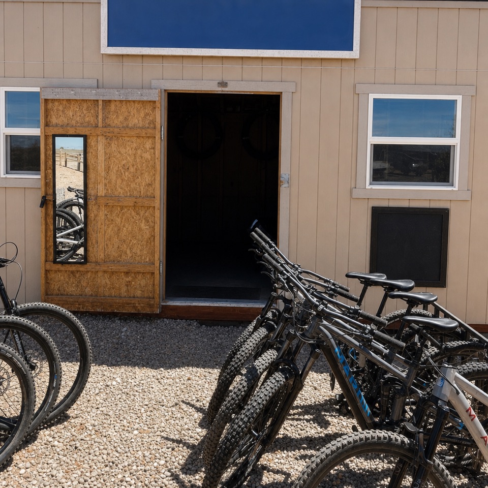
The west spur is 0.1 mile each way from the fork at the end of Lower Dark Horse; getting to that fork is the longer part of the trip. The park calls the far east rim its most remote section, says basic route-finding skills are needed, and treats the trails as difficult. Hikers share them with mountain bikes, and cell service can be spotty. The main trailhead is about a mile south of the Entrance Station; a small restroom is reported at the dedicated bike parking area, back from the remote spur.
Look across the layersThe west-facing view opens onto a large canyon with exposed Kayenta, Wingate, Chinle, and…
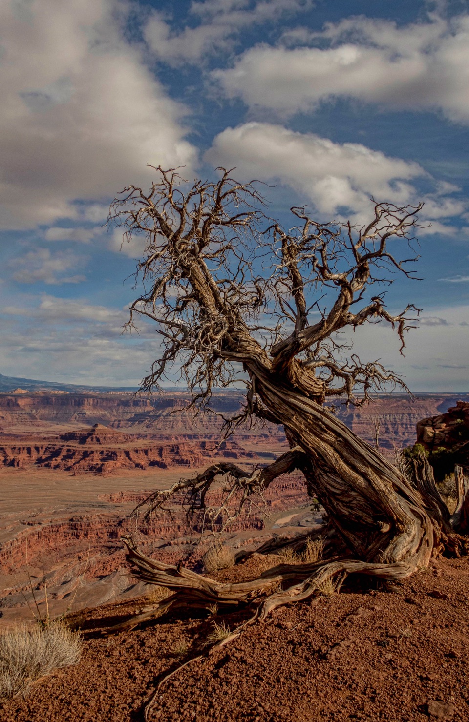
The west-facing view opens onto a large canyon with exposed Kayenta, Wingate, Chinle, and Moenkopi formations. The east-rim viewpoint network opened in 2025, making this a newer corner of the park rather than one of its familiar roadside stops. For a stronger photo, keep a little of the rim’s sandstone in the foreground to give the distant canyon walls some scale.
Wildlife
Wildlife in Dead Horse Point
 33 sightingsRavenMost seen around 6 PMSighting map
 16 sightingsWhiptail LizardMost seen around 10 AMSighting map
 34 sightingsFence LizardMost seen around 8 AMSighting map
 42 sightingsSide-blotched LizardMost seen around 9 AMSighting map
Sighting maps show where each species has been reported across Dead Horse Point. Wildlife moves, so no sighting is guaranteed.