Parking
Use Silverband Falls Carpark off Silverband Road; the walk starts and finishes at the car park.
Grampians National Park, VIC
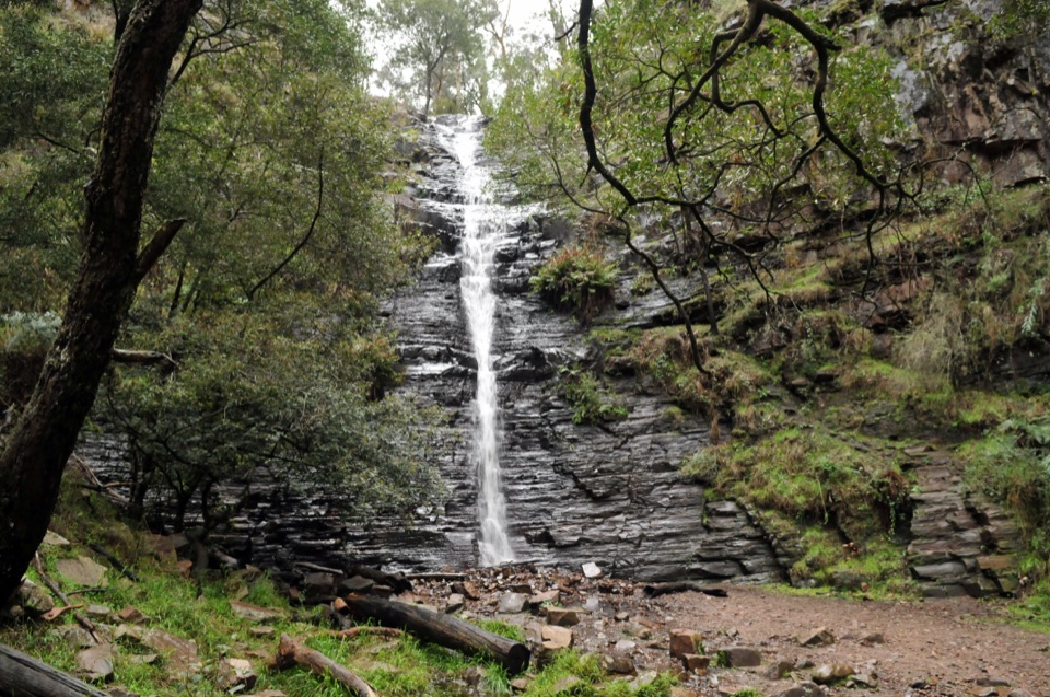
Ferny creekside stroll to a narrow cascade over dark layered rock
Overview
Map & elevation
Plan your hike

The highest, rockiest slopes around here are a summer buffet for grizzly bears.
Grampians Tour Guide
Parkwolf is a GPS audio tour guide for Grampians National Park. As you drive, it chimes in with what’s ahead: hidden gems, upcoming stops, history, geology, and wildlife, right through your car’s speakers.
Recorded for this trailhead
Silverband Falls: The Disappearing Stream“Silverband Falls Carpark is coming up, with a short forest walk to a waterfall that does something worth looking closely at.”
Plays as you drive up to this trailhead in the Parkwolf Grampians Tour Guide.
More stories near here in the app
“Fantastic app with many points of information… It’s great to just turn on while you’re driving and it gives you an audio tour of the national Park. We love it!!!!”


Trail guide
An easy out-and-back, 1.6 km return, taking about 45 minutes at a relaxed pace. It is graded easy (Grade 2) on a mostly gentle, well formed track through the Wonderland Range.
The track leaves Silverband Falls Carpark on Silverband Road and follows the creek line through shady, fern-laden forest. Near the end you cross the creek on natural rock, then arrive at the base of Silverband Falls, a narrow cascade slipping over dark layered rock. You return the same way, so the carpark is both start and finish.
Flow varies with the season and is strongest in cooler months or after rain. One quirk is worth watching for: the water can vanish into the rocks at the base of the falls and re-emerge further downstream. In spring you may find wildflowers along the way, and small forest birds such as yellow robins are often about, though nothing is guaranteed.
The grade is undemanding, with only modest climbing spread across the walk, but the surface is natural and uneven in places. The rock creek crossing and the ground near the waterfall can be wet and slippery, so step deliberately and keep children close. As with much of the forest here, be aware of falling limbs and trees, especially in wind.
Silverband Falls Carpark is the primary access point. The track is not suitable for prams or wheelchairs because of the uneven surface and rock crossing. Ordinary dogs are not permitted; assistance dogs are subject to the applicable entry requirements.
If walking to the base of a waterfall is more than you are after, the short Broken Falls Walk to its lookout gives you a waterfall view with less effort.
Wildlife
 157 sightingsShort-beaked EchidnaMost seen around 6 PMSighting map
 37 sightingsPowerful OwlMost seen around 6 PMSighting map
 59 sightingsWedge-tailed EagleMost seen around 11 AMSighting map
 24 sightingsEastern Brown SnakeMost seen around 11 AMSighting map
 10 sightingsTiger SnakeMost seen around noonSighting map
 29 sightingsRed-bellied Black SnakeMost seen around 11 AMSighting map
Sighting maps show where each species has been reported across Grampians. Wildlife moves, so no sighting is guaranteed.
Keep exploring
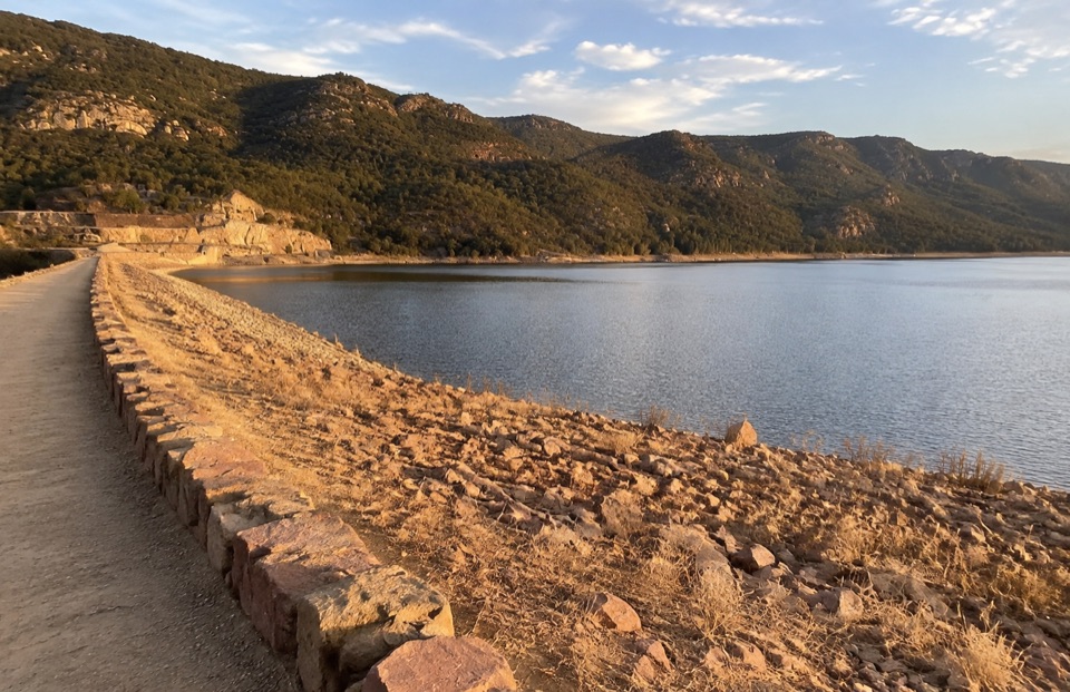 EasyLake Bellfield Wall Walk1.9 km · 45 min · 2.6 km awayShort gravel stroll across a dam wall to reservoir and ridge views
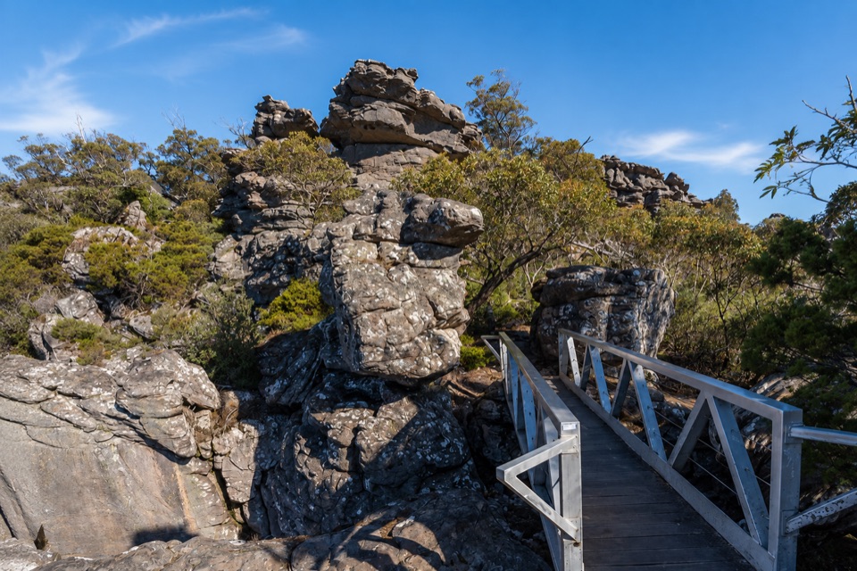 ChallengingMount Rosea from Borough Huts16.1 km · 6.5 hr · 3 km awayLong forest climb to a rocky ridge above Lake BellfieldChallengingMount Rosea Walk8.5 km · 4.5 hr · 3.2 km awaySteady forest climb to a rocky ridge, chasm bridge and 360-degree summit
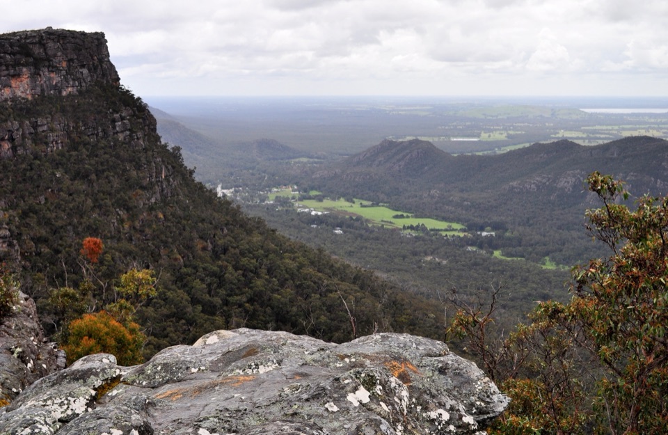 ModerateLakeview Loop Walk1.8 km · 1 hr · 3.2 km awayShort rocky circuit to a lookout over Lake Bellfield and Fyans Valley
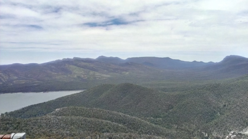 ModerateSundial Peak Walk4 km · 1.8 hr · 3.2 km awayQuiet heathy climb to a lookout over Lake Bellfield and Mount William
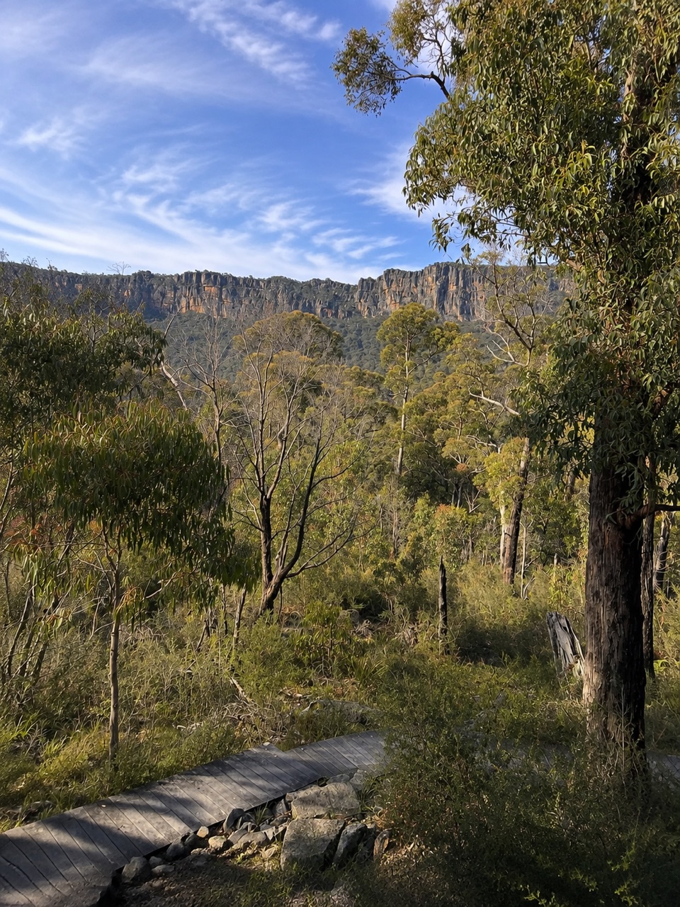 ModerateSundial Carpark to Rosea Carpark4.3 km · 2 hr · 3.2 km awayA 4.3 km wooded circuit with knoll climb and sandstone escarpment views
 ModerateThe Pinnacle via Sundial Carpark4.2 km · 1.8 hr · 3.2 km awayRock-hop past Devil's Gap to a cliff-edge lookout over Halls Gap
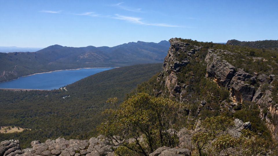 ChallengingBarri Yalug Overnight Hike45.7 km · 18 hr · 3.2 km awayTwo hard days over sandstone ridges from Mount Rosea to Mount WilliamSight · 0.8 km awaySilverband FallsA ferny walk to water that vanishes into the rocky creek bedSight · 1.6 km awaySundial PeakA quiet summit view over Lake Bellfield and the western ranges
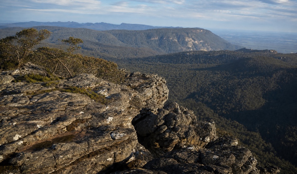 Sight · 2 km awayMount Rosea (Bugiga Mirgani)A rugged summit scramble with wide views across the ranges
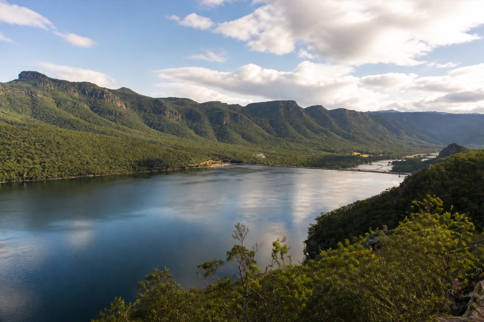 Sight · 2.6 km awayLake BellfieldAn easy dam-wall walk with calm water and mountain reflections
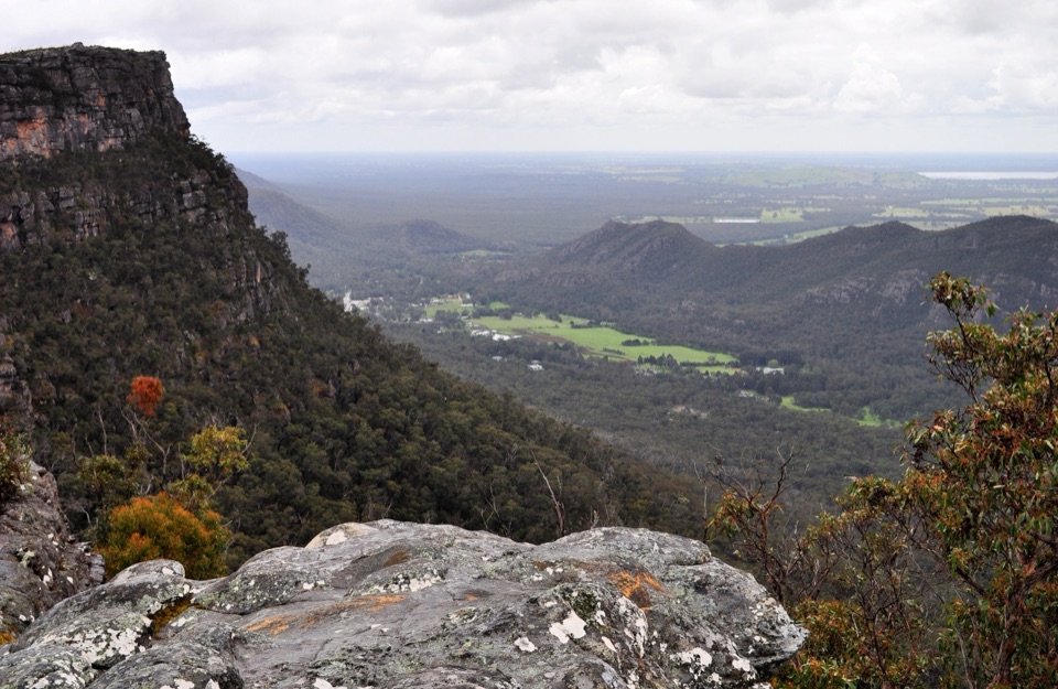 Sight · 3 km awayLakeview LookoutA short rocky walk to a wide Lake Bellfield panorama
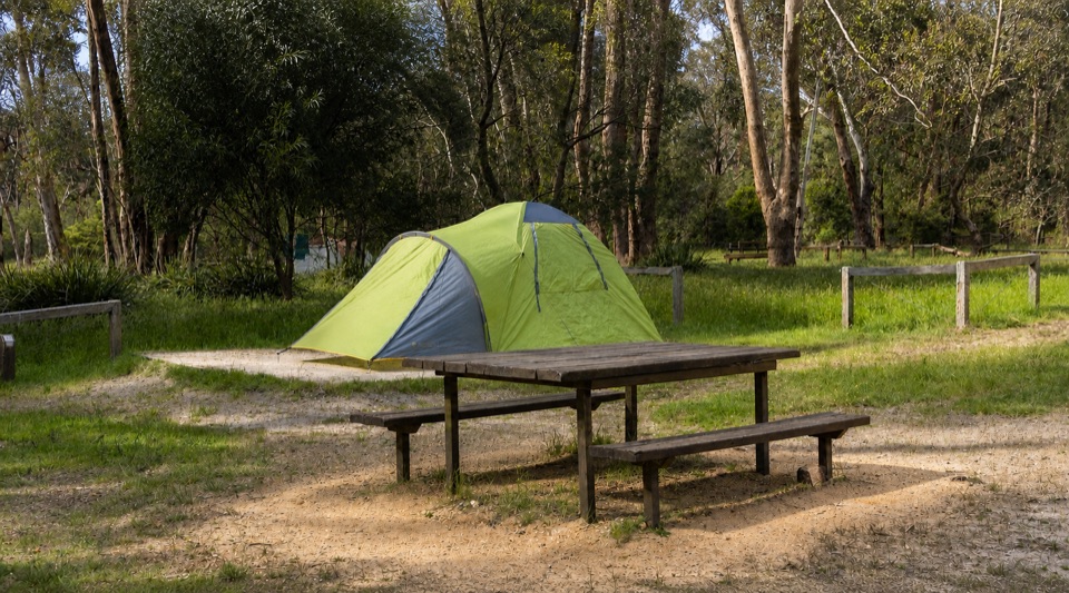 Campground · 3 km awayBorough Huts CampgroundQuietly camp beside Fyans Creek, close to Halls Gap and big walks
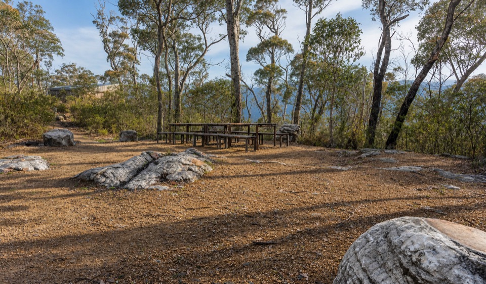 Campground · 4.4 km awayStony Creek Group CampgroundA quiet group camp among pines, granite, and mountain views
 Sight · 4.4 km awayPinnacle LookoutA dramatic rock platform above Halls Gap and Lake Bellfield
Parkwolf’s Grampians ranking

The audio tour guide for the drive, plus offline maps, trails, and wildlife heatmaps for when the signal drops.




