Parking
Redman Road Trailhead on Redman Road; this remote access is the start and finish for the return route.
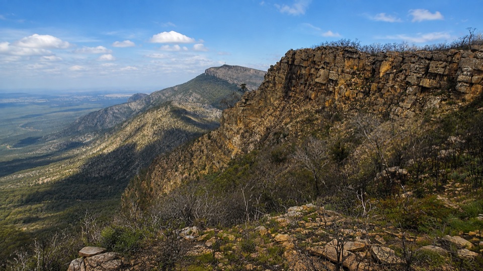
Grampians National Park, VIC
Two days over exposed high ridges to a remote hike-in campground
Overview
Map & elevation
Plan your hike

The highest, rockiest slopes around here are a summer buffet for grizzly bears.
Grampians Tour Guide
Parkwolf is a GPS audio tour guide for Grampians National Park. As you drive, it chimes in with what’s ahead: hidden gems, upcoming stops, history, geology, and wildlife, right through your car’s speakers.
Recorded for this trailhead
Borough Huts: A Creekside Base“You're coming up on Borough Huts Campground, a forest clearing beside Fyans Creek. This spot once housed workers building Lake Bellfield, so the quiet camping ground has a connection to the reservoir down the valley.”
Plays as you drive up to this trailhead in the Parkwolf Grampians Tour Guide.
More stories near here in the app
“Fantastic app with many points of information… It’s great to just turn on while you’re driving and it gives you an audio tour of the national Park. We love it!!!!”


Trail guide
A 26 km total-return out-and-back over two days, starting and finishing at Redman Road Trailhead. Graded 4 and usually walked as an overnighter, it takes the high route through Seven Dials and over Redman Bluff to Duwul Hike-in Campground, then returns by exactly the same track.
From the trailhead the track drops to cross Barney Creek at about 320 m before the long, sustained climb through Seven Dials toward Redman Bluff at roughly 1017 m. From there it descends a short way to the campground, which is your turnaround point for the night. Day two retraces the ridge and the creek crossing back to your car, which stays at the trailhead the whole time. Expect a maximum elevation near 1004 m, a low point around 339 m and roughly 1600 m of total ascent across the walk.
This is a demanding walk with a heavy pack. The track is rough, steep and uneven, with rock steps, slippery surfaces and sections of rock hopping. There are narrow stretches near Mount William Road and near cliff edge, so careful foot placement matters. Boots with grip, trekking poles if you use them, and a slow, steady pace all help.
The reward is exposed montane high country: broad outlooks over the Serra Range and across the central Grampians, with the ridge falling away on both sides. Weather changes quickly up here, so views can arrive and vanish within the same hour.
You earn every metre twice. Because it is a return hike, day two repeats the same rough terrain in reverse with no fresh scenery, and the climb from Barney Creek is relentless with an overnight pack. Walkers wanting the summit without the effort will be better served by the much shorter Mount William (Duwul) Summit Walk from its own carpark; this route trades convenience for remoteness and a night high on the range.
Wildlife
 157 sightingsShort-beaked EchidnaMost seen around 6 PMSighting map
 37 sightingsPowerful OwlMost seen around 6 PMSighting map
 59 sightingsWedge-tailed EagleMost seen around 11 AMSighting map
 24 sightingsEastern Brown SnakeMost seen around 11 AMSighting map
 10 sightingsTiger SnakeMost seen around noonSighting map
 29 sightingsRed-bellied Black SnakeMost seen around 11 AMSighting map
Sighting maps show where each species has been reported across Grampians. Wildlife moves, so no sighting is guaranteed.
Keep exploring
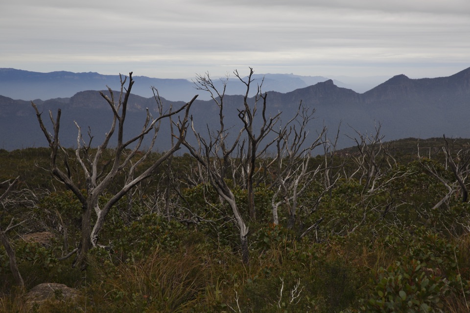 ChallengingDuwul and Durd Durd 3-day Hike34.7 km · 18 hr · At the trailheadThree days over western Victoria's highest peak and an exposed plateau
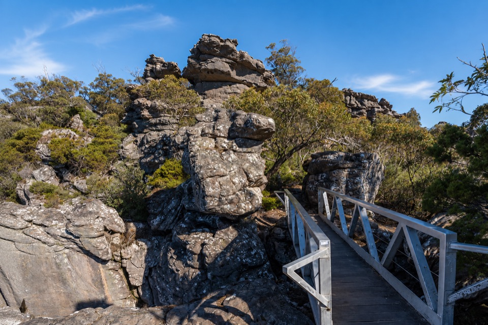 ChallengingMount Rosea from Borough Huts16.1 km · 6.5 hr · 0.9 km awayLong forest climb to a rocky ridge above Lake Bellfield
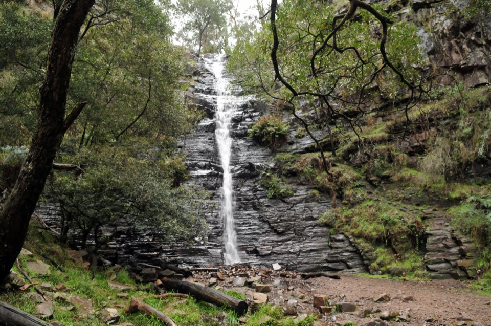 EasySilverband Falls Walk1.6 km · 45 min · 3.6 km awayFerny creekside stroll to a narrow cascade over dark layered rockChallengingMajor Mitchell Plateau Hike41 km · 15 hr · 4.7 km awayThree days of windswept sandstone high country, big views, real navigation
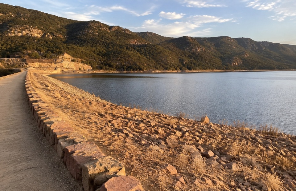 EasyLake Bellfield Wall Walk1.9 km · 45 min · 5.5 km awayShort gravel stroll across a dam wall to reservoir and ridge viewsChallengingMount Rosea Walk8.5 km · 4.5 hr · 6.7 km awaySteady forest climb to a rocky ridge, chasm bridge and 360-degree summit
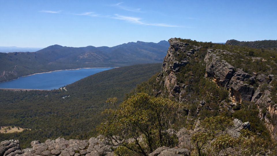 ChallengingBarri Yalug Overnight Hike45.7 km · 18 hr · 6.7 km awayTwo hard days over sandstone ridges from Mount Rosea to Mount William
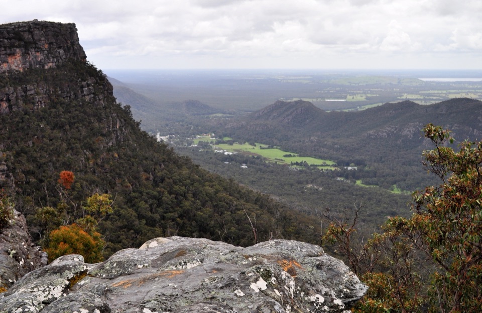 ModerateLakeview Loop Walk1.8 km · 1 hr · 6.7 km awayShort rocky circuit to a lookout over Lake Bellfield and Fyans Valley
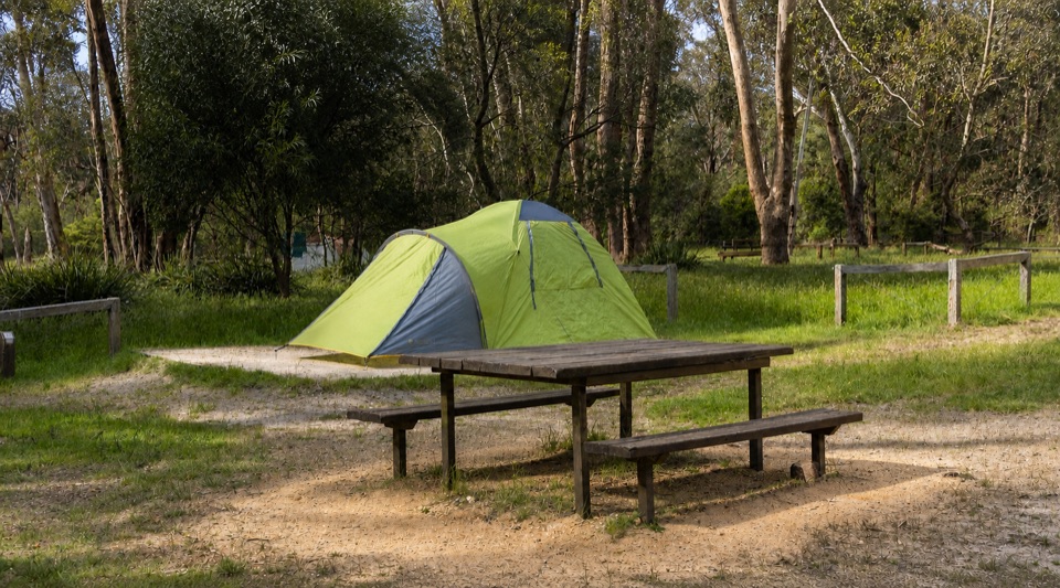 Campground · 0.9 km awayBorough Huts CampgroundQuietly camp beside Fyans Creek, close to Halls Gap and big walksSight · 4.3 km awaySilverband FallsA ferny walk to water that vanishes into the rocky creek bed
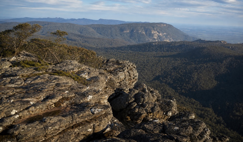 Sight · 5 km awayMount Rosea (Bugiga Mirgani)A rugged summit scramble with wide views across the ranges
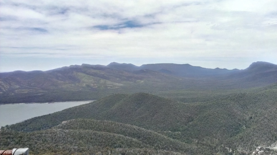 Sight · 5.2 km awaySundial PeakA quiet summit view over Lake Bellfield and the western ranges
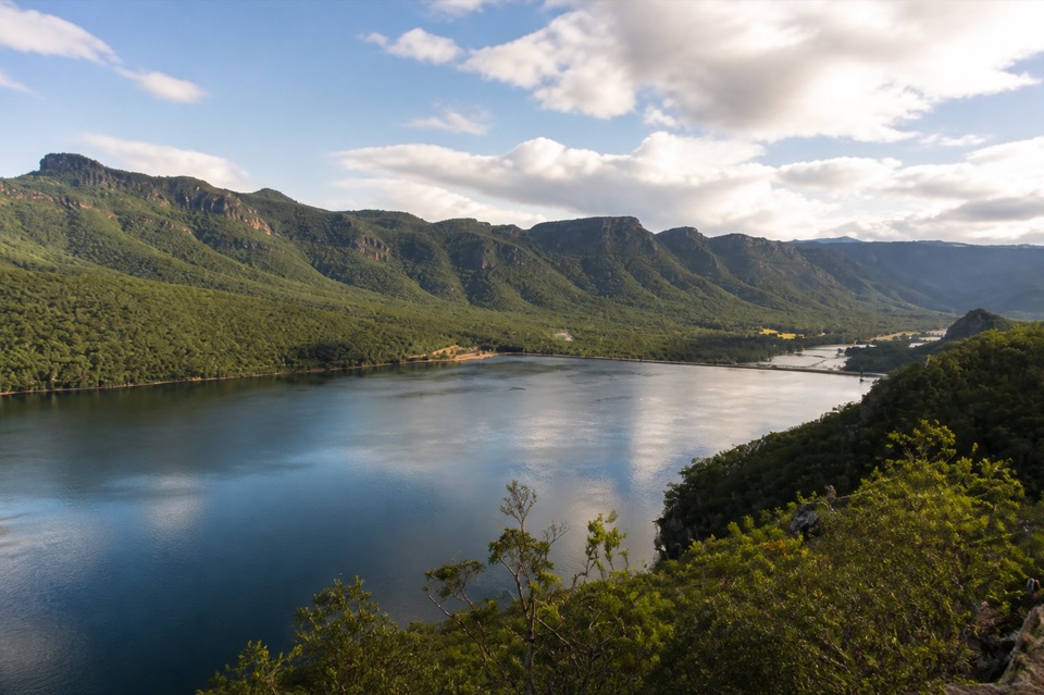 Sight · 5.5 km awayLake BellfieldAn easy dam-wall walk with calm water and mountain reflections
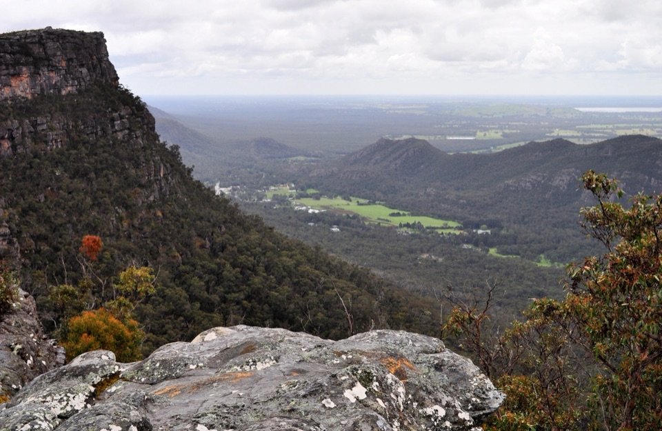 Sight · 6.5 km awayLakeview LookoutA short rocky walk to a wide Lake Bellfield panorama
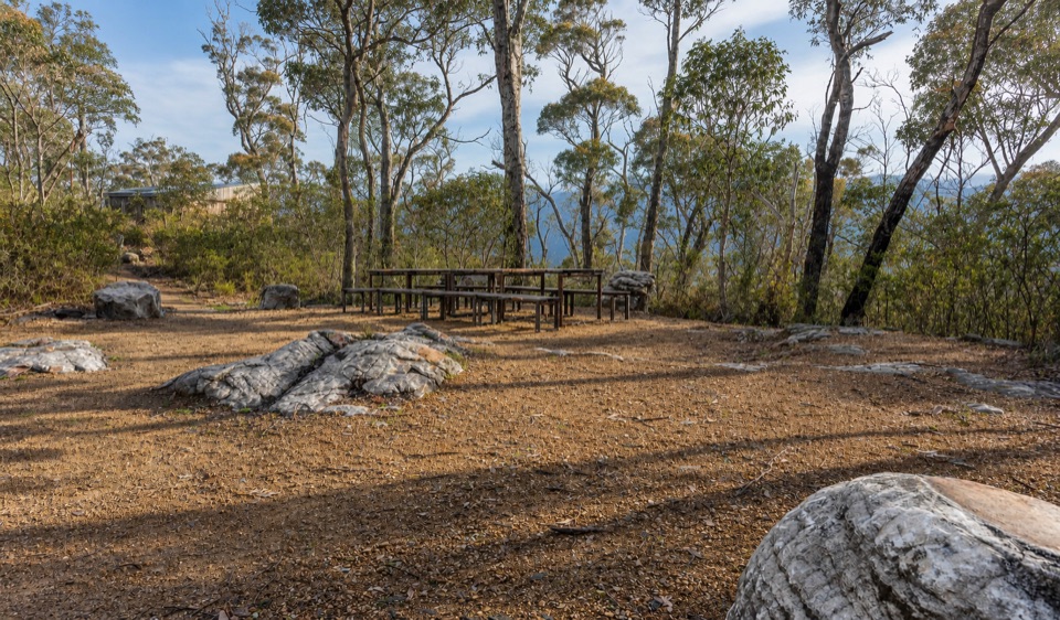 Campground · 7.7 km awayStony Creek Group CampgroundA quiet group camp among pines, granite, and mountain views
 Visitor center · 7.8 km awayBrambuk the National Park & Cultural CentreA cultural gateway to Gariwerd stories, wildlife, and walking plans
Parkwolf’s Grampians ranking

The audio tour guide for the drive, plus offline maps, trails, and wildlife heatmaps for when the signal drops.





