Parking
Start at Redman's Trailhead on Redman Road, reached from Grampians Tourist Road. This one-way route requires a vehicle shuttle or licensed transfer to Jimmy Creek Road before setting out.
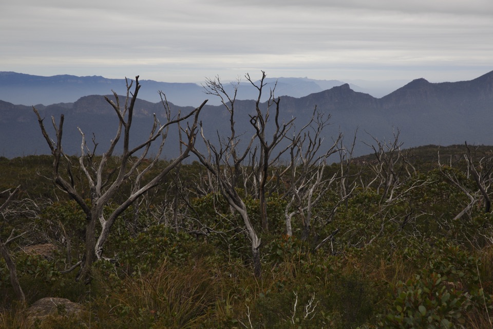
Grampians National Park, VIC
Three days over western Victoria's highest peak and an exposed plateau
Overview
Map & elevation
Plan your hike

The highest, rockiest slopes around here are a summer buffet for grizzly bears.
Grampians Tour Guide
Parkwolf is a GPS audio tour guide for Grampians National Park. As you drive, it chimes in with what’s ahead: hidden gems, upcoming stops, history, geology, and wildlife, right through your car’s speakers.
Recorded for this trailhead
Borough Huts: A Creekside Base“You're coming up on Borough Huts Campground, a forest clearing beside Fyans Creek. This spot once housed workers building Lake Bellfield, so the quiet camping ground has a connection to the reservoir down the valley.”
Plays as you drive up to this trailhead in the Parkwolf Grampians Tour Guide.
More stories near here in the app
“Fantastic app with many points of information… It’s great to just turn on while you’re driving and it gives you an audio tour of the national Park. We love it!!!!”


Trail guide
This is a one-way, three-day backpacking traverse of about 34.7 km, not a loop or a day walk. It runs from Redman's Trailhead in the north to the Jimmy Creek Road crossing in the south, measured along the full mapped track. The walk breaks into three stages: Redman Road to Duwul Hike-in Campground (13.1 km), Duwul to Durd Durd (14.5 km), and Durd Durd to Jimmy Creek Road (5.7 km).
The route is rated grade 5, suitable only for very fit and experienced hikers. Expect roughly 330 m at the low point, 1,160 m at the high point, and around 1,970 m of cumulative ascent, with a lot of the route sitting near 1,000 m. There are steep climbs and descents, rough rocky sections, uneven ground, water crossings and some stretches that are limited, unmarked or awkward to navigate, so bring a map and the skills to use it.
Mount William and the plateau are genuinely exposed. In winter or wet weather you can get freezing temperatures, strong wind, driving rain, sleet and snow with little shelter. Fog can hide cliff edges, and lichen, algae and moss make rock slippery. Summer brings heat and bushfire risk. Mobile coverage is better up high and poor or absent in the valleys, so carry a PLB.
Carry and treat your water. Guidance is at least 4 to 6 litres per person per day, and creek water can be unreliable in summer and autumn. Plan your carry rather than counting on finding water along the way.
Dogs and other pets are not permitted in Victorian national parks. Assistance dogs are the exception.
The logistics are as demanding as the walking. Between the vehicle shuttle, the campground bookings, the water carry and the weather exposure up high, this is a poor fit for casual hikers or anyone hoping to improvise. If you want the high country and a real three-day traverse and you are prepared to be self-reliant, it delivers. If not, one of the shorter high-country day walks in the Mount William area will give you views without the commitment.
Wildlife
 157 sightingsShort-beaked EchidnaMost seen around 6 PMSighting map
 37 sightingsPowerful OwlMost seen around 6 PMSighting map
 59 sightingsWedge-tailed EagleMost seen around 11 AMSighting map
 24 sightingsEastern Brown SnakeMost seen around 11 AMSighting map
 10 sightingsTiger SnakeMost seen around noonSighting map
 29 sightingsRed-bellied Black SnakeMost seen around 11 AMSighting map
Sighting maps show where each species has been reported across Grampians. Wildlife moves, so no sighting is guaranteed.
Keep exploring
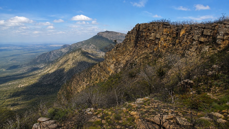 ChallengingDuwul Overnight Hike26 km · 15 hr · At the trailheadTwo days over exposed high ridges to a remote hike-in campground
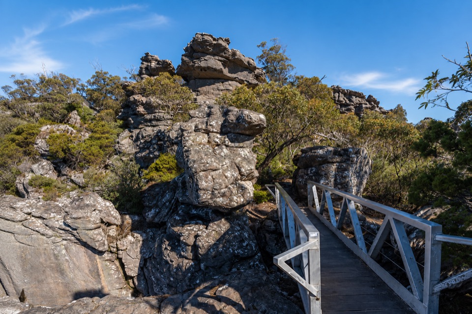 ChallengingMount Rosea from Borough Huts16.1 km · 6.5 hr · 0.9 km awayLong forest climb to a rocky ridge above Lake Bellfield
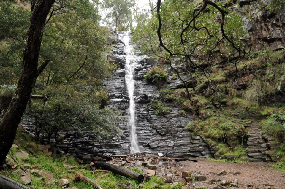 EasySilverband Falls Walk1.6 km · 45 min · 3.6 km awayFerny creekside stroll to a narrow cascade over dark layered rockChallengingMajor Mitchell Plateau Hike41 km · 15 hr · 4.7 km awayThree days of windswept sandstone high country, big views, real navigation
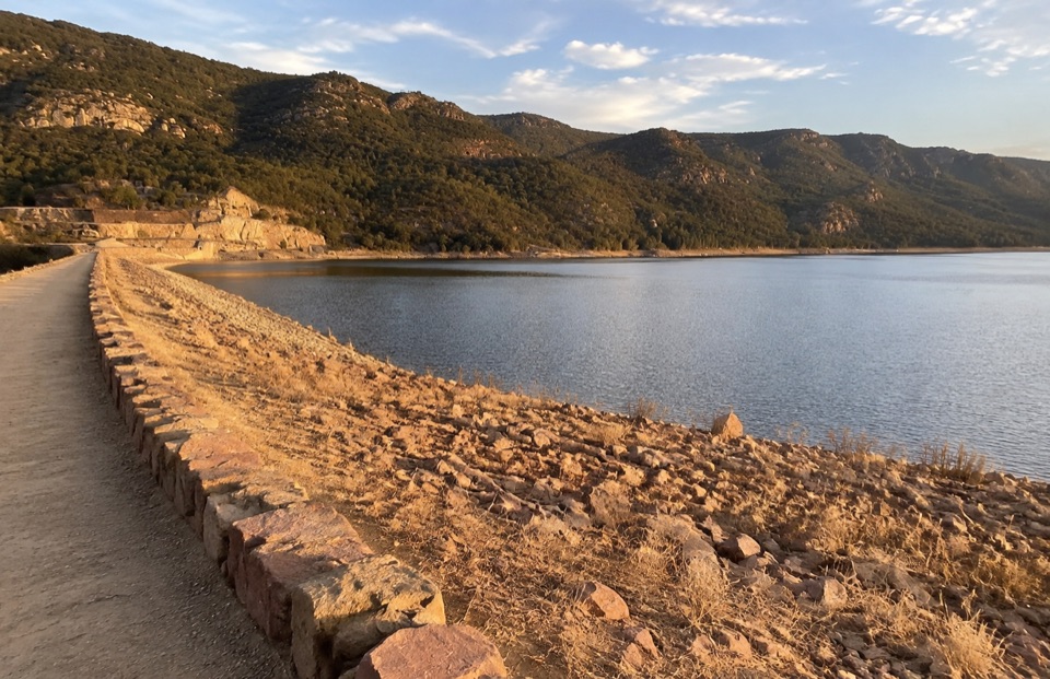 EasyLake Bellfield Wall Walk1.9 km · 45 min · 5.6 km awayShort gravel stroll across a dam wall to reservoir and ridge viewsChallengingMount Rosea Walk8.5 km · 4.5 hr · 6.7 km awaySteady forest climb to a rocky ridge, chasm bridge and 360-degree summit
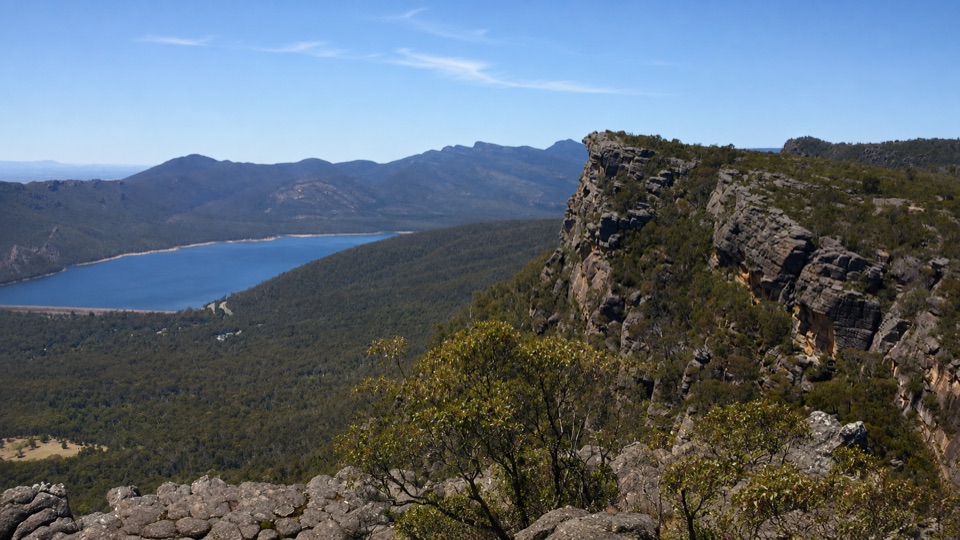 ChallengingBarri Yalug Overnight Hike45.7 km · 18 hr · 6.7 km awayTwo hard days over sandstone ridges from Mount Rosea to Mount William
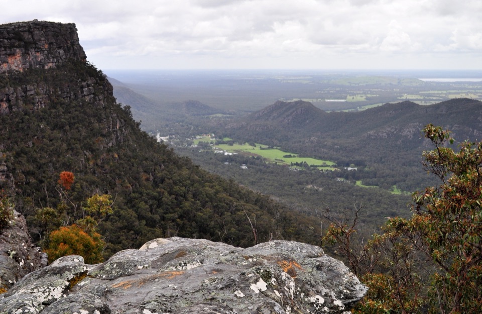 ModerateLakeview Loop Walk1.8 km · 1 hr · 6.8 km awayShort rocky circuit to a lookout over Lake Bellfield and Fyans Valley
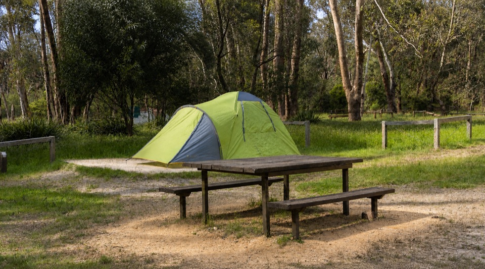 Campground · 0.9 km awayBorough Huts CampgroundQuietly camp beside Fyans Creek, close to Halls Gap and big walksSight · 4.3 km awaySilverband FallsA ferny walk to water that vanishes into the rocky creek bed
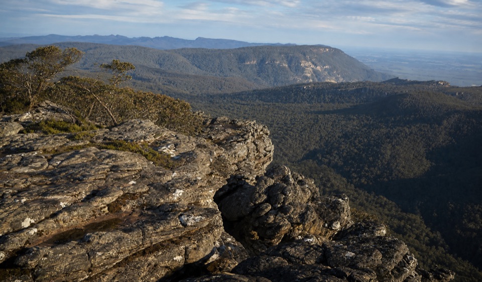 Sight · 5 km awayMount Rosea (Bugiga Mirgani)A rugged summit scramble with wide views across the ranges
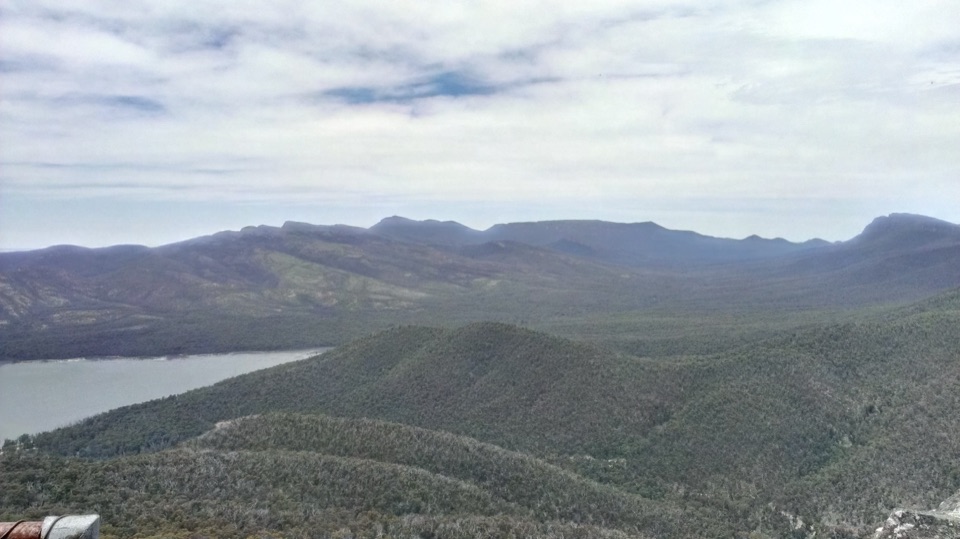 Sight · 5.2 km awaySundial PeakA quiet summit view over Lake Bellfield and the western ranges
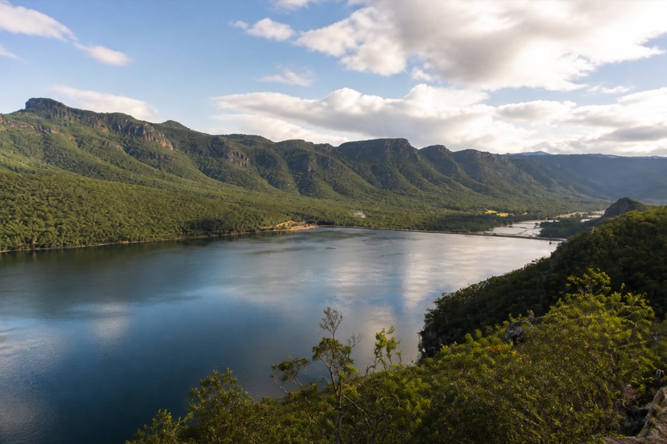 Sight · 5.6 km awayLake BellfieldAn easy dam-wall walk with calm water and mountain reflections
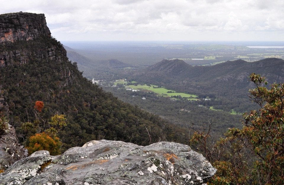 Sight · 6.6 km awayLakeview LookoutA short rocky walk to a wide Lake Bellfield panorama
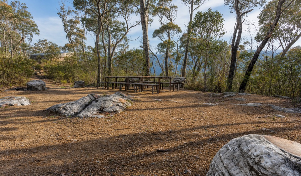 Campground · 7.7 km awayStony Creek Group CampgroundA quiet group camp among pines, granite, and mountain views
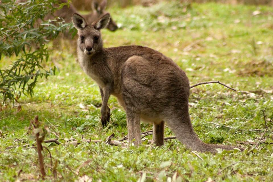 Visitor center · 7.8 km awayBrambuk the National Park & Cultural CentreA cultural gateway to Gariwerd stories, wildlife, and walking plans
Parkwolf’s Grampians ranking

The audio tour guide for the drive, plus offline maps, trails, and wildlife heatmaps for when the signal drops.





