Parking
Start at Borough Huts Campground on Grampians Road, roughly 10 km south of Halls Gap. The campground is the named access for this route and the trail joins the Mount Rosea corridor from its western side.
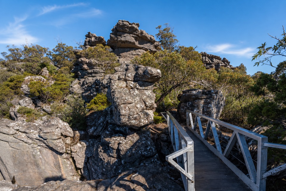
Grampians National Park, VIC
Long forest climb to a rocky ridge above Lake Bellfield
Overview
Map & elevation
Plan your hike

The highest, rockiest slopes around here are a summer buffet for grizzly bears.
Grampians Tour Guide
Parkwolf is a GPS audio tour guide for Grampians National Park. As you drive, it chimes in with what’s ahead: hidden gems, upcoming stops, history, geology, and wildlife, right through your car’s speakers.
Recorded for this trailhead
Borough Huts: A Creekside Base“You're coming up on Borough Huts Campground, a forest clearing beside Fyans Creek. This spot once housed workers building Lake Bellfield, so the quiet camping ground has a connection to the reservoir down the valley.”
Plays as you drive up to this trailhead in the Parkwolf Grampians Tour Guide.
More stories near here in the app
“Fantastic app with many points of information… It’s great to just turn on while you’re driving and it gives you an audio tour of the national Park. We love it!!!!”


Trail guide
This is an out and back day hike from Borough Huts Campground, following the continuous Grampians Peaks Trail and Mount Rosea Track corridor to the Mount Rosea summit area and the Gate of the East Wind, then returning along the same track. The mapped corridor is about 8.1 km one way, so plan on 16.1 km total. It is not a loop and not a point to point walk. From the campground's map point there is a short access link of roughly 160 m to the first trail junction.
The walk starts low, near 310 m, in tall messmate forest and climbs steadily onto the Mount Rosea ridgeline, where weathered sandstone outcrops, boulder passages and scrubby heathland replace the forest canopy. The high section is the reason to come: cliff edge vantage points, twisted peppermint gums, a footbridge crossing the chasm at the Gate of the East Wind, and long views across the Serra and Mount William ranges, Sundial Peak and Lake Bellfield. The summit sits at about 1009 m, with a small protective fence at the lookout.
Rate this hard, about 8 out of 10. The shorter Mount Rosea Walk is already classed as strenuous, and starting from Borough Huts adds sustained climbing, more distance and a full descent at the end. Allow 6 to 7 hours for an ordinary fit hiker, including the return and time spent at viewpoints. Route spaced elevation samples rise almost continuously from around 310 m to 983 m near the summit approach, so there is little flat recovery ground once the climb begins.
Expect rough rocky footing, steep stepped pitches, rock slabs and boulder passages. Parks advice for this area lists unstable cliff edges and slippery rock as hazards, and both matter here, with several sections running close to drops. There are exposed ridge sections where wind and weather are felt directly. Clear conditions make a real difference, since the views across the ranges and Lake Bellfield are the main reward for the climb.
Borough Huts Campground is on Grampians Road, roughly 10 km south of Halls Gap, and the Mount Rosea walks begin from the campground. Rainwater at the campground is seasonal and untreated and is not recommended for drinking, so carry all the water you need for a long day. Pets are not allowed on this route under the standard national park rule; assistance dogs are covered by separate provisions.
Choose this version if you want the full ridge experience with a longer forest approach and are happy with a committing day on foot. If you mainly want the summit and the Gate of the East Wind with less distance, the shorter walk from the Rosea carpark covers the same high ground for far less effort. From Borough Huts the reward is the build up and the extra time on the corridor, at the cost of greater distance and commitment than the shorter walk.
Wildlife
 157 sightingsShort-beaked EchidnaMost seen around 6 PMSighting map
 37 sightingsPowerful OwlMost seen around 6 PMSighting map
 59 sightingsWedge-tailed EagleMost seen around 11 AMSighting map
 24 sightingsEastern Brown SnakeMost seen around 11 AMSighting map
 10 sightingsTiger SnakeMost seen around noonSighting map
 29 sightingsRed-bellied Black SnakeMost seen around 11 AMSighting map
Sighting maps show where each species has been reported across Grampians. Wildlife moves, so no sighting is guaranteed.
Keep exploring
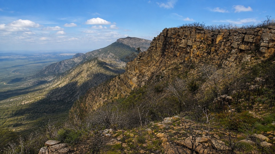 ChallengingDuwul Overnight Hike26 km · 15 hr · 0.9 km awayTwo days over exposed high ridges to a remote hike-in campground
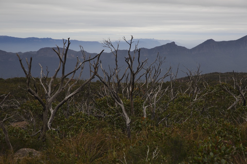 ChallengingDuwul and Durd Durd 3-day Hike34.7 km · 18 hr · 0.9 km awayThree days over western Victoria's highest peak and an exposed plateau
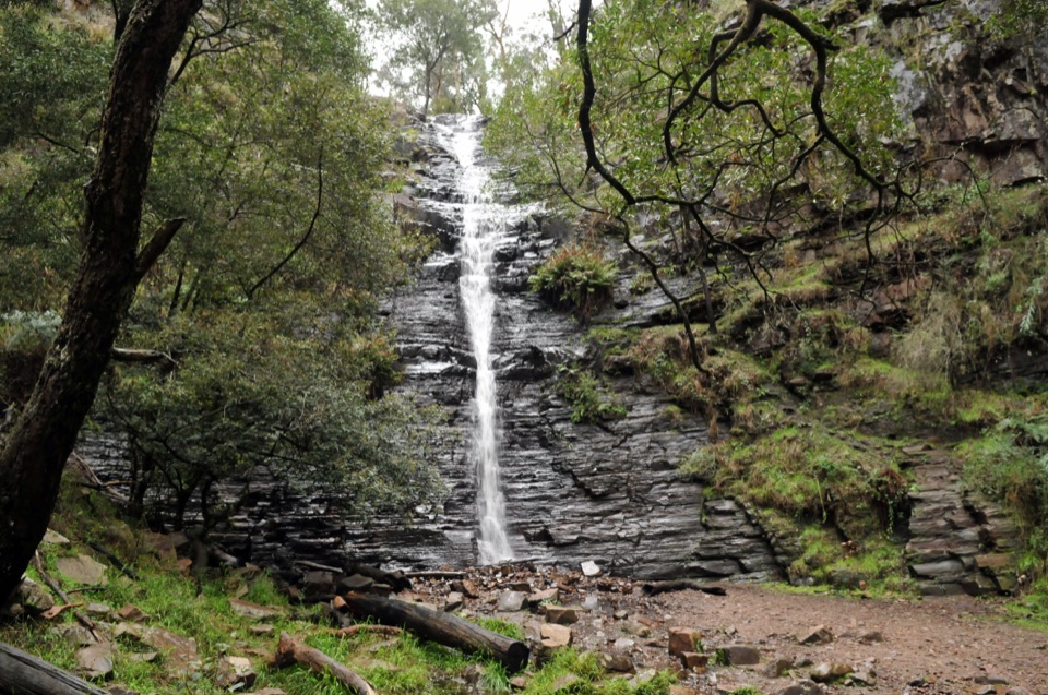 EasySilverband Falls Walk1.6 km · 45 min · 3 km awayFerny creekside stroll to a narrow cascade over dark layered rockChallengingMajor Mitchell Plateau Hike41 km · 15 hr · 4.9 km awayThree days of windswept sandstone high country, big views, real navigation
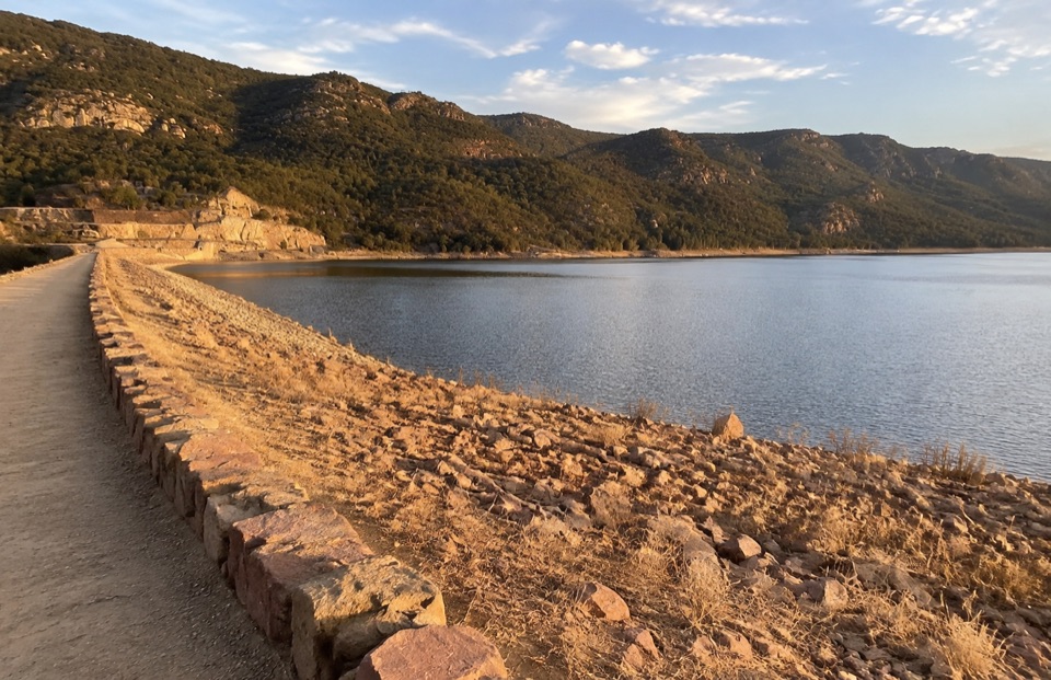 EasyLake Bellfield Wall Walk1.9 km · 45 min · 5.2 km awayShort gravel stroll across a dam wall to reservoir and ridge viewsChallengingMount Rosea Walk8.5 km · 4.5 hr · 6 km awaySteady forest climb to a rocky ridge, chasm bridge and 360-degree summit
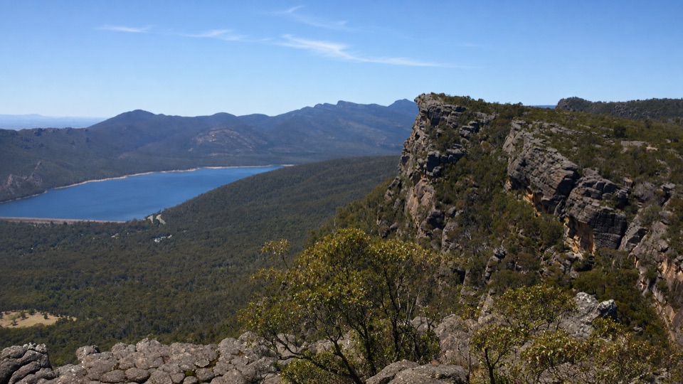 ChallengingBarri Yalug Overnight Hike45.7 km · 18 hr · 6 km awayTwo hard days over sandstone ridges from Mount Rosea to Mount William
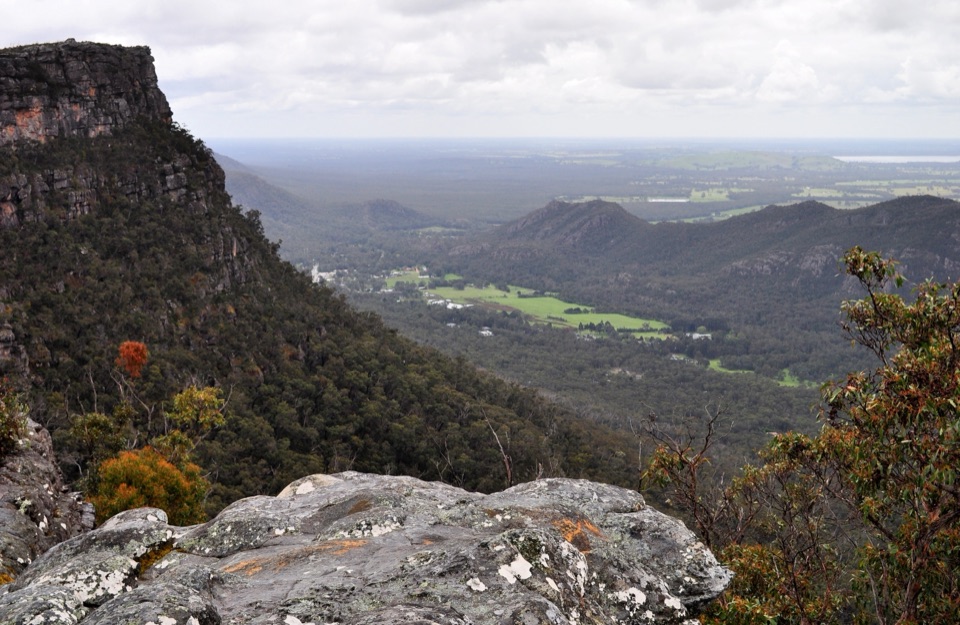 ModerateLakeview Loop Walk1.8 km · 1 hr · 6.2 km awayShort rocky circuit to a lookout over Lake Bellfield and Fyans Valley
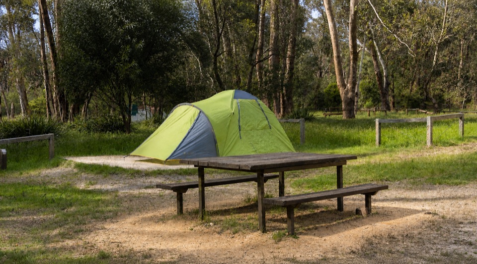 Campground · At the trailheadBorough Huts CampgroundQuietly camp beside Fyans Creek, close to Halls Gap and big walksSight · 3.7 km awaySilverband FallsA ferny walk to water that vanishes into the rocky creek bed
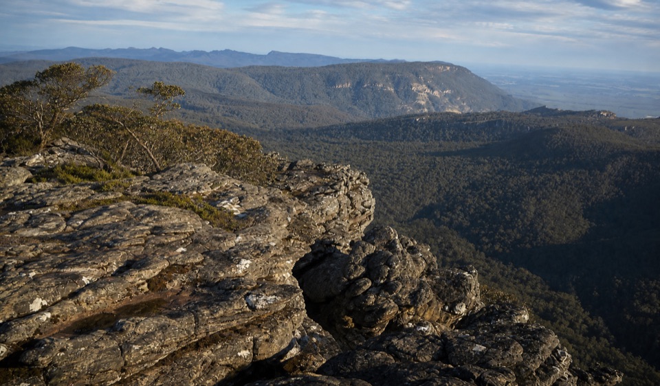 Sight · 4.2 km awayMount Rosea (Bugiga Mirgani)A rugged summit scramble with wide views across the ranges
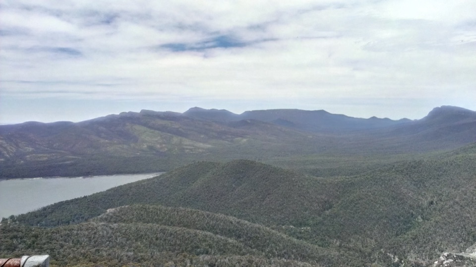 Sight · 4.6 km awaySundial PeakA quiet summit view over Lake Bellfield and the western ranges
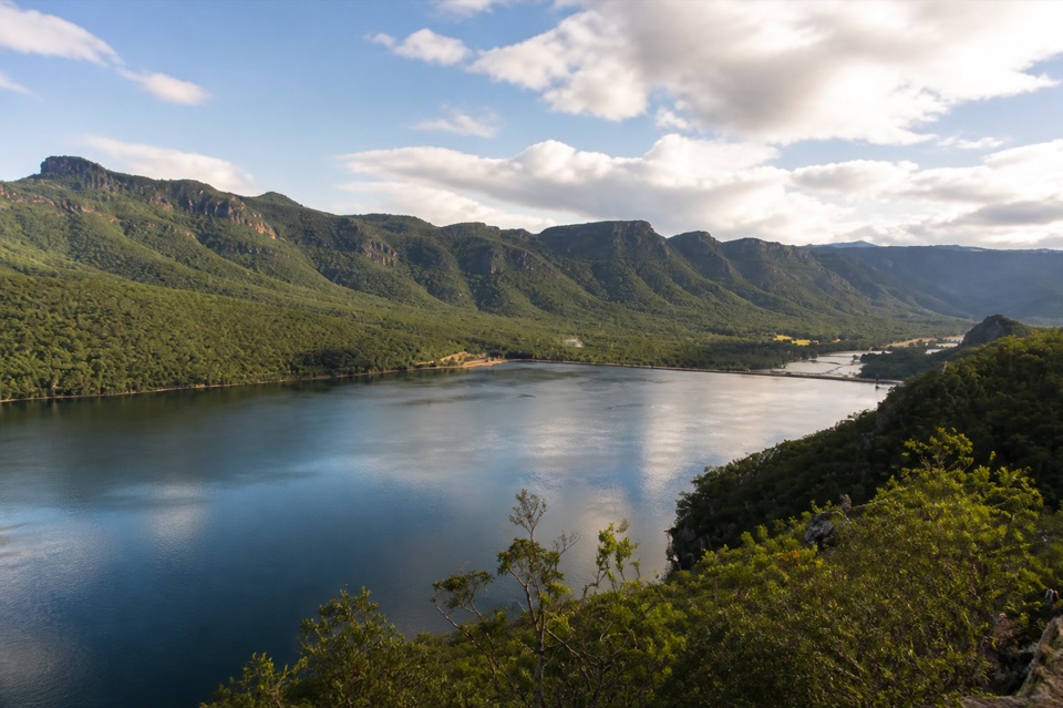 Sight · 5.2 km awayLake BellfieldAn easy dam-wall walk with calm water and mountain reflections
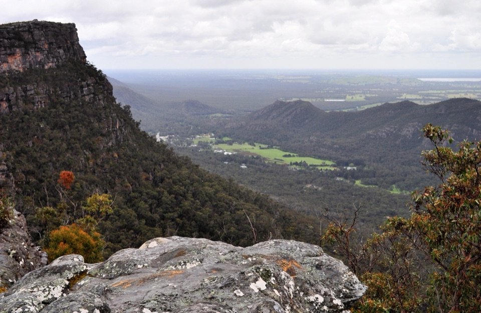 Sight · 6 km awayLakeview LookoutA short rocky walk to a wide Lake Bellfield panorama
 Campground · 6.9 km awayStony Creek Group CampgroundA quiet group camp among pines, granite, and mountain views
 Sight · 7.4 km awayPinnacle LookoutA dramatic rock platform above Halls Gap and Lake Bellfield
Parkwolf’s Grampians ranking

The audio tour guide for the drive, plus offline maps, trails, and wildlife heatmaps for when the signal drops.





