
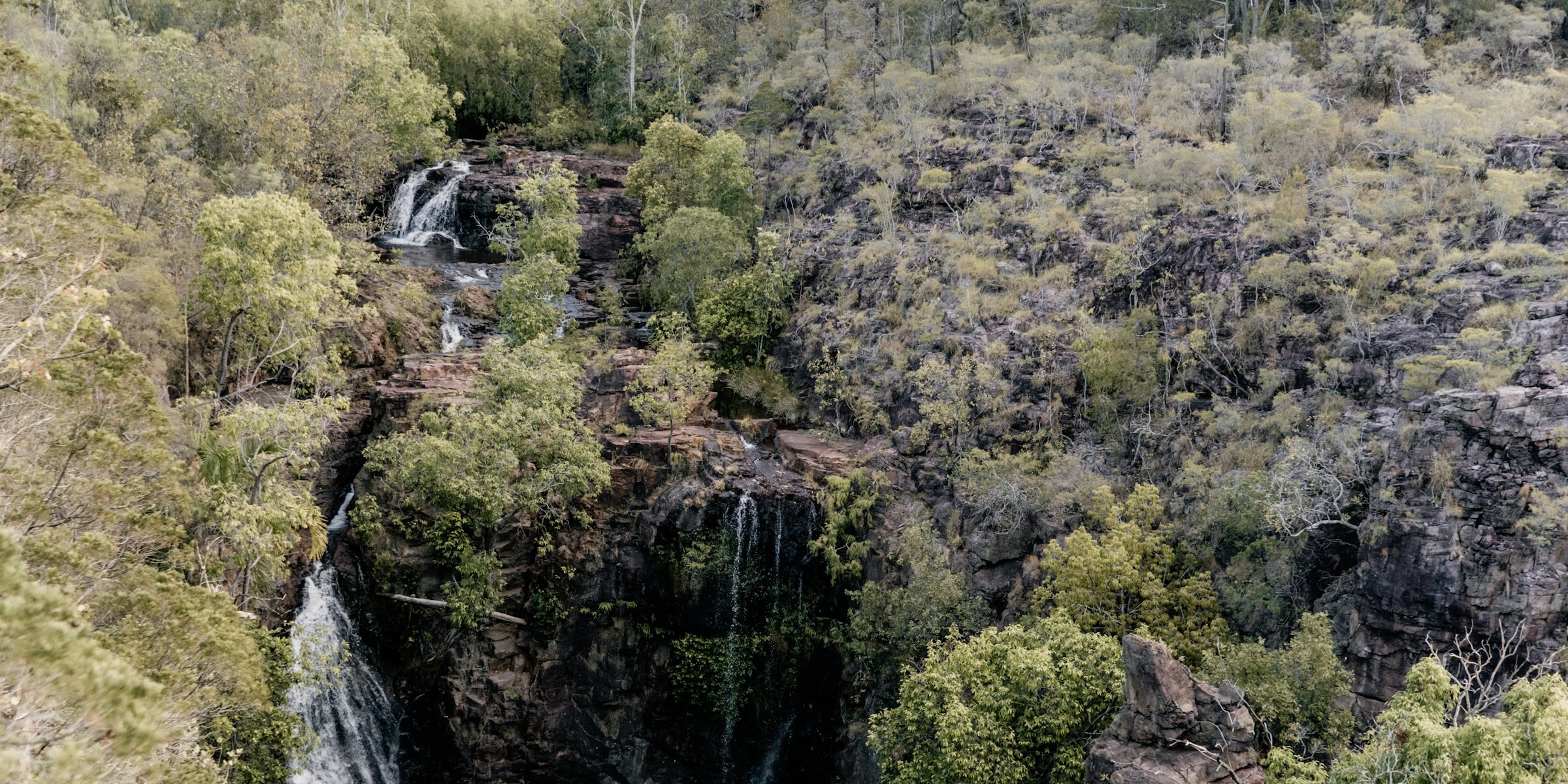
All Litchfield trails
17 trails
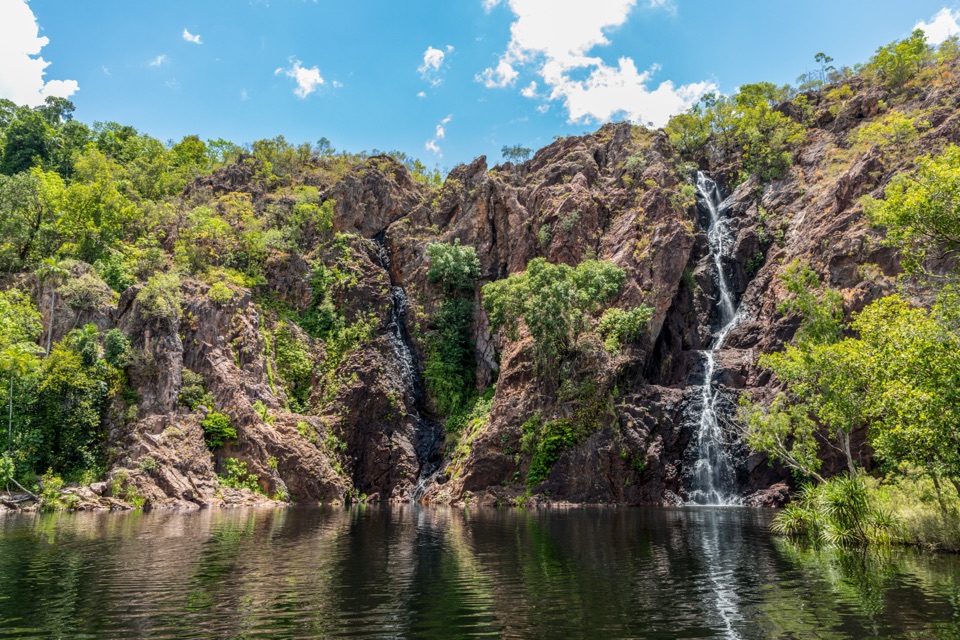 1Wangi Falls WalkA short loop pairs the plunge pool with an escarpment climb.
 2Shady Creek WalkA creekside loop to a Top End waterfall and plunge pool.
 3Florence Creek WalkFollow Florence Creek through rainforest and woodland to Buley’s pools.
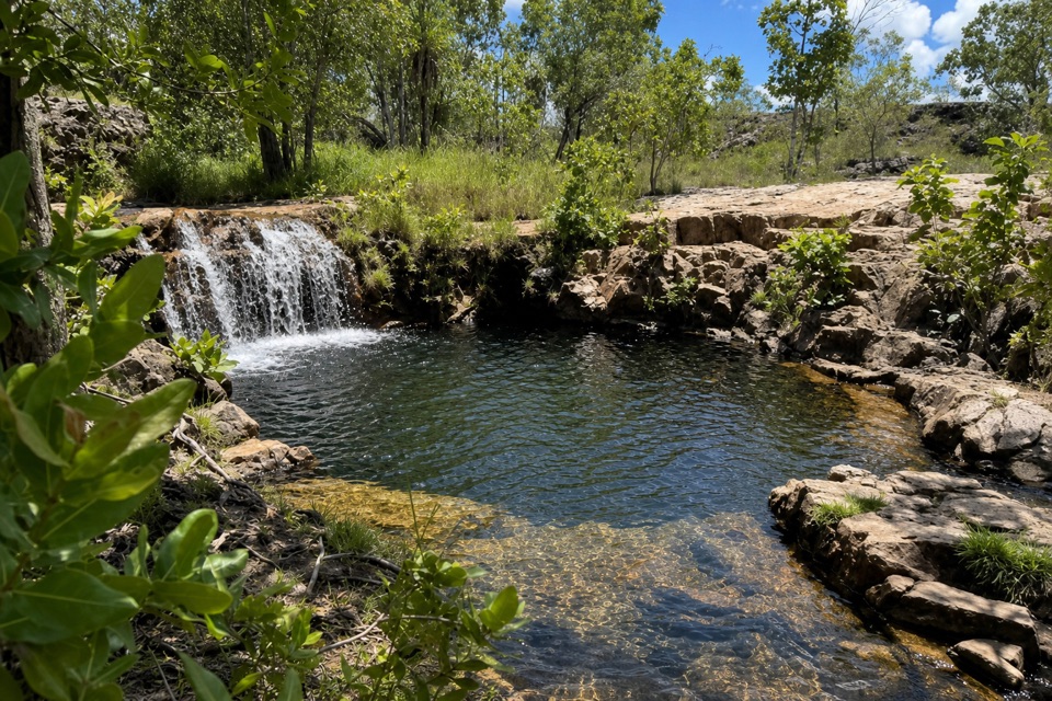 4Greenant Creek WalkShade gives way to a steep climb and a falls lookout.
 5Tolmer Falls Lookout WalkA short sealed path to two decks over Tolmer's deep gorge.
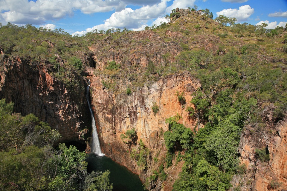 6Tolmer Falls WalkA short loop pairs the falls platform with a rocky creek return.
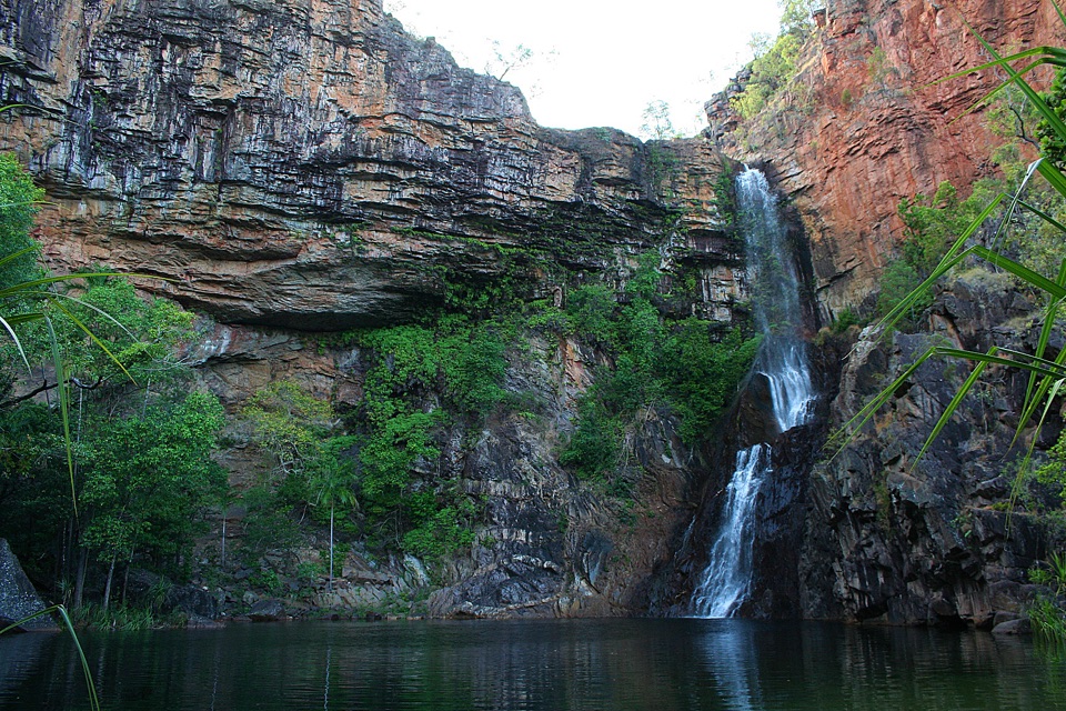 7Tjaynera Falls WalkCycads, paperbarks, and a plunge pool beneath the falls.
 8Upper Cascades WalkA rocky climb opens onto plateau lookouts and stepped cascades.
 9Lower Cascades WalkQuickest, shadiest access to Curtain Falls and its rocky plunge pool.
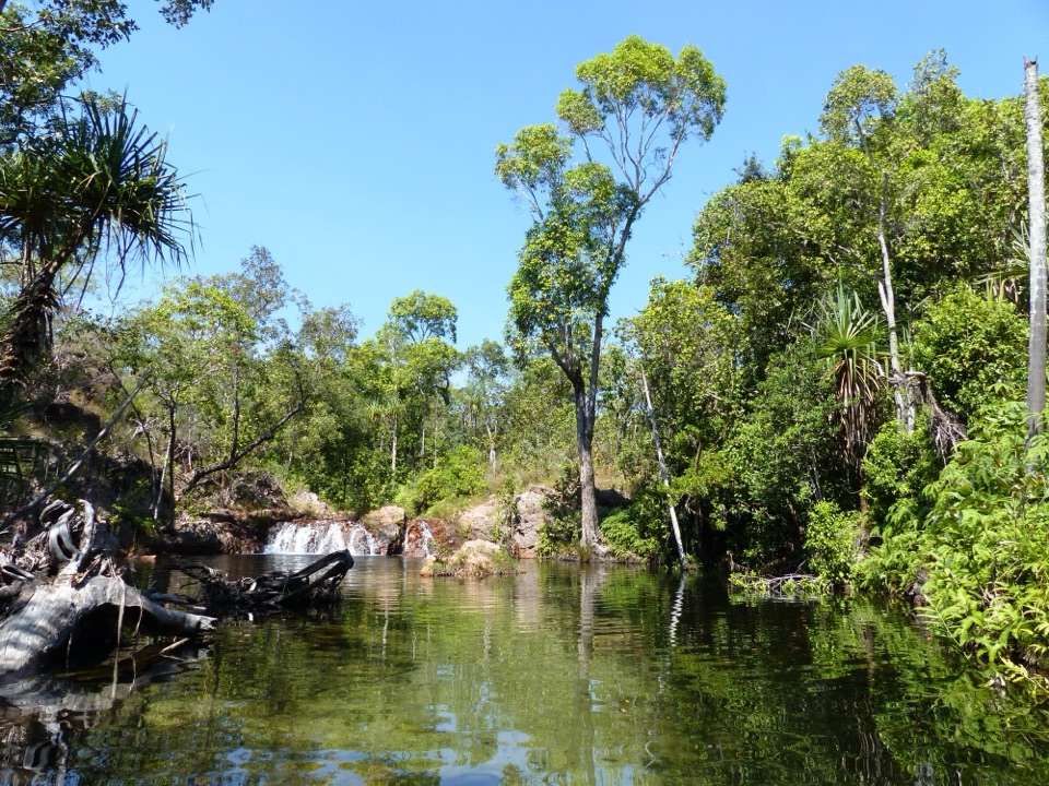 10Walker Creek TrackCreek pools, a monsoon-forest boardwalk and a climb above the valley.
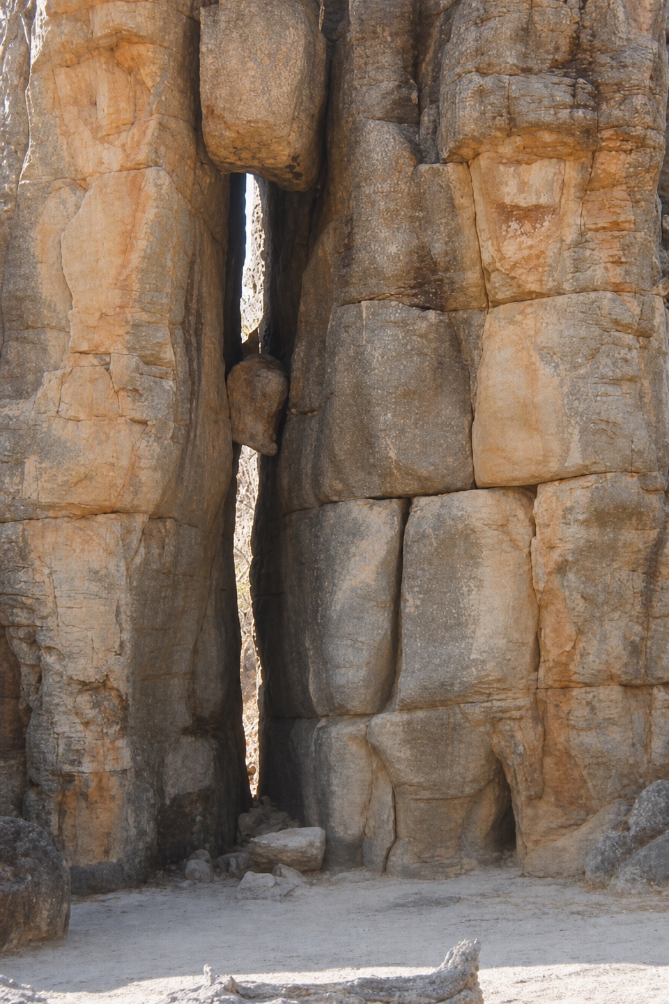 11The Lost City WalkA short wander among sandstone pillars, reached only by 4WD.
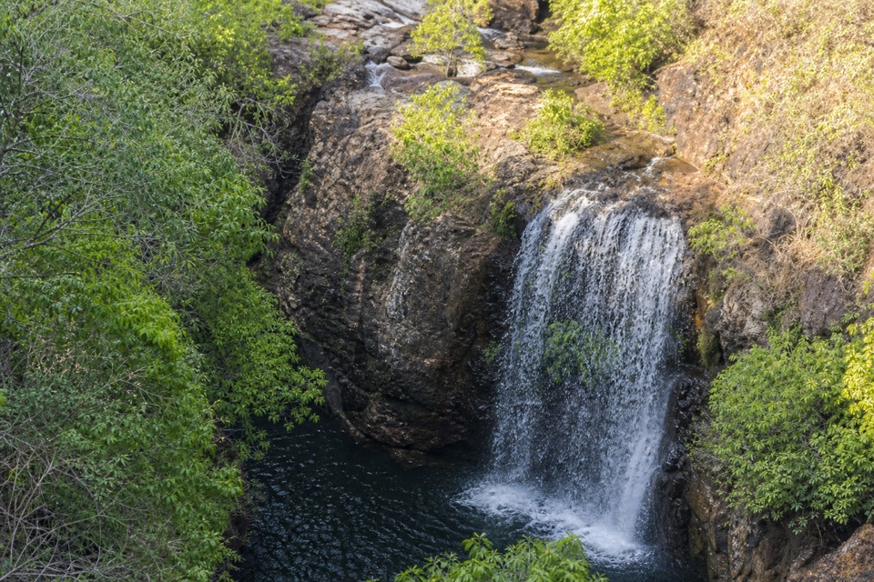 12Tabletop Track Full CircuitA remote, rocky four-day loop through Litchfield creek country
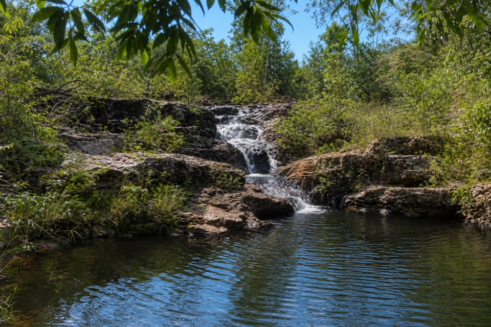 13Rocky Falls Day Use Area WalkA quick creekside out-and-back to low rapids and a swimming spot.
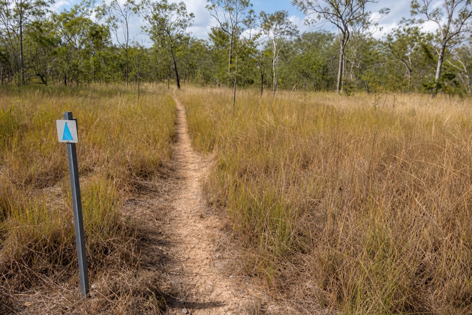 14Tabletop Track: Florence Falls to Wangi FallsA two-day savanna traverse from Florence Falls to Wangi Falls
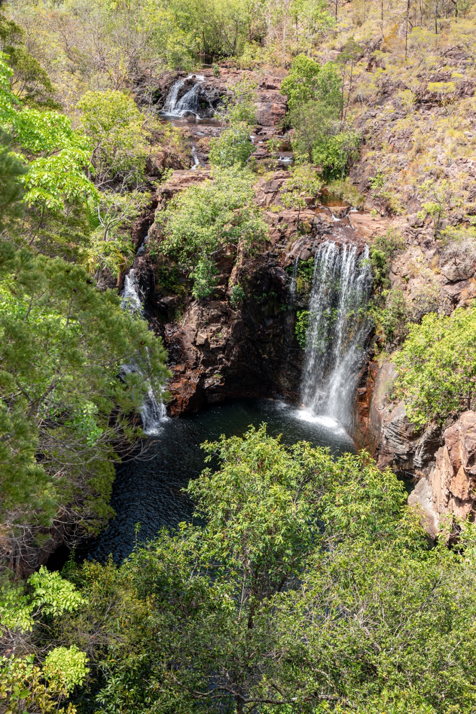 15Tabletop Track: Walker Creek to Florence FallsCycads and a creek break up a long, exposed Tabletop crossing.
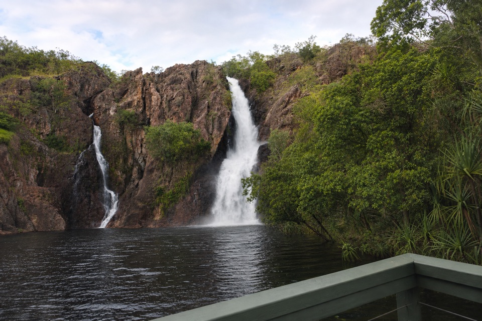 16Tabletop Track: Wangi Falls to Walker CreekA rugged two-day Tabletop crossing with waterfalls and long dry stretches.
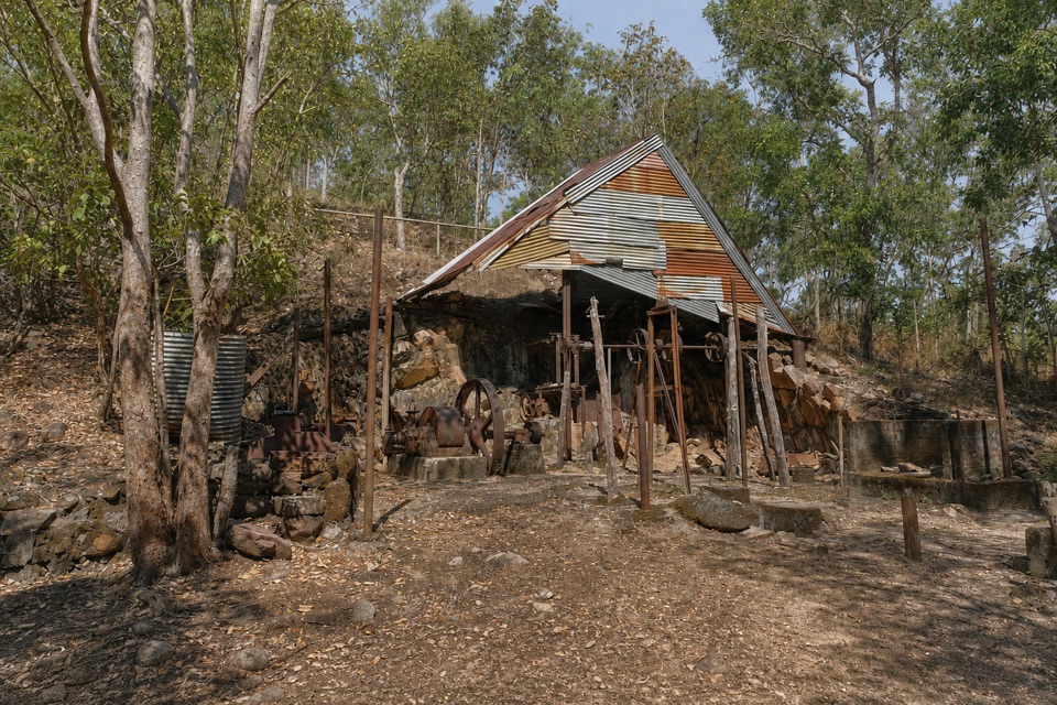 17Bamboo Creek Tin Mine WalkStone ruins, water tanks and an old engine on a short loop.
The highest, rockiest slopes around here are a summer buffet for grizzly bears.
Litchfield Tour Guide
Litchfield, narrated.
Parkwolf is a GPS audio tour guide for Litchfield National Park. As you drive, it chimes in with what’s ahead: hidden gems, upcoming stops, history, geology, and wildlife, right through your car’s speakers.
Recorded for this place
Wangi Falls0:00 / 0:37
“You're coming up on Wangi Falls, where two cascades drop into a broad pool edged by monsoon forest.”
Plays as you drive up to Wangi Falls in the Parkwolf Litchfield Tour Guide.
More stories near here in the app
- The Goanna That Dives
- The Bird That Composts Its Eggs
- The Spitfire in the Bush
- Litchfield Cafe
- 68 audio storiesacross Litchfield’s roads, triggered by GPS as you drive
- Works offlinemaps, 17 trails, 31 places, and audio download before you lose signal
- CarPlay readysimple controls built for the drive
“Fantastic app with many points of information… It’s great to just turn on while you’re driving and it gives you an audio tour of the national Park. We love it!!!!”

