
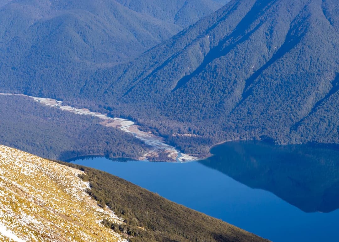
All Nelson Lakes trails
57 trails
 1Mount Robert CircuitA 9 km alpine loop with Lake Rotoiti views and steep climbing.
 2Angelus Hut via Pinchgut Track and Robert Ridge RouteA long, exposed ridge walk to an alpine lakeside hut.
 3St Arnaud Range TrackA long beech climb opens onto an exposed ridge above Lake Rotoiti.
 4Rotomairewhenua/Blue Lake TrackThe clearest water comes after a long, serious alpine climb.
 5Travers-Sabine CircuitAn 80 km alpine loop through remote valleys and a high pass.
 6Lake Rotoiti CircuitTwo huts, one lake, and a ford that sets the route.
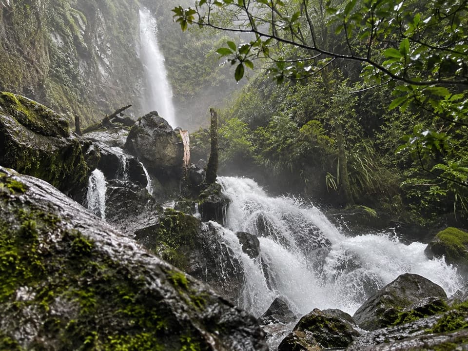 7Whisky Falls via Lakeside TrackA nearly 40 m waterfall wrapped in moss and ferns.
 8Angelus Hut Circuit via Robert Ridge and Speargrass TrackAn exposed ridge to a glacial lake, then back by Speargrass Creek.
 9Waiau Pass RouteA remote, expert alpine crossing over Waiau Pass.
 10Honeydew WalkA short beech-forest loop with honeydew-fed birds and glacial boulders.
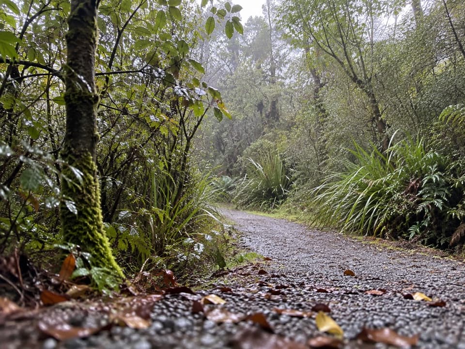 11Bellbird WalkA brief accessible loop for red beech, birds and a small wetland.
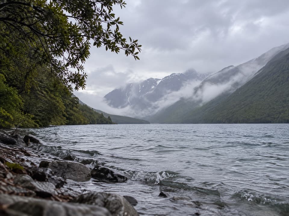 12Lakehead TrackA beech forest walk to a hut at Lake Rotoiti’s head.
 13Rotopōhueroa/Lake Constance TrackA steep moraine climb to a sacred alpine lake.
 14Speargrass Track to Speargrass HutBeech forest gives way to a hut in a tussock clearing.
 15Brunner Peninsula Nature WalkA lakeside loop crosses the Alpine Fault twice.
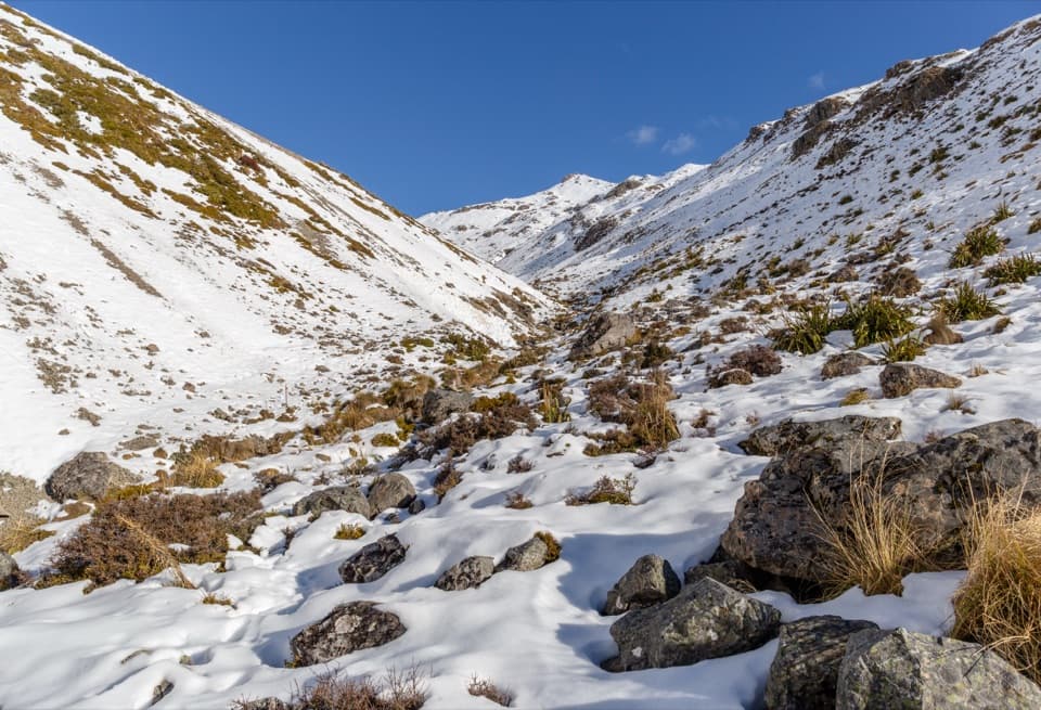 16Angelus Hut via Speargrass Track and Speargrass Creek RouteA demanding creek route to a high alpine lake hut.
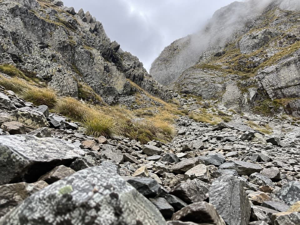 17Moss Pass RouteA steep rocky pass opens views into two remote valleys.
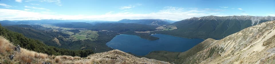 18Mount Robert–Julius SummitA big climb for Lake Rotoiti views and a high, exposed ridge.
 19Lakeside Track to Coldwater HutA forested lakeshore walk to Coldwater Hut and its jetty.
 20D’Urville Track to Upper D’Urville HutA remote valley traverse linking four backcountry huts.
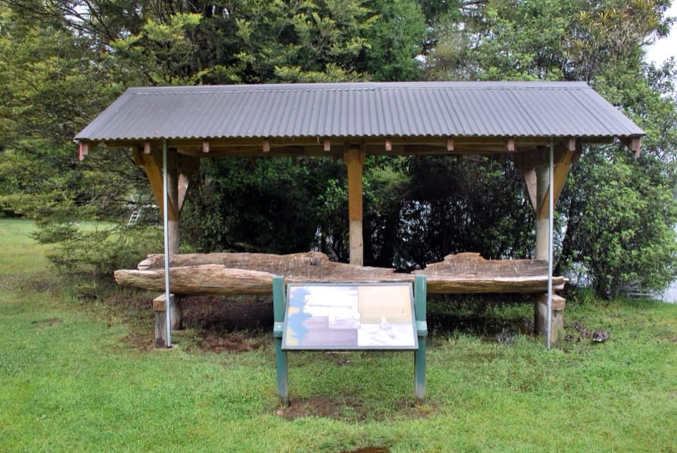 21Lake Rotoroa Nature WalkA fern-rich forest loop with quick glimpses of Lake Rotoroa
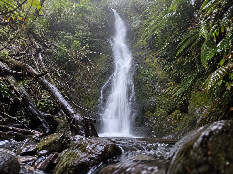 22Braeburn WalkMossy falls at the end of an old forest road.23Angelus Hut via Travers and Cascade Track/RouteA demanding alpine route to Angelus Hut beside a glacial tarn.24Angelus Hut via Mt Cedric Track/RouteAn exposed ridge links two remote huts above an alpine basin.
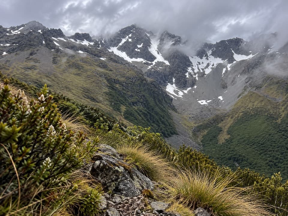 25Cupola TrackA steep backcountry climb to a high hut and Mount Hopeless views.
 26Hopeless Track to Hopeless HutA creek-side climb to a remote six-bunk hut.
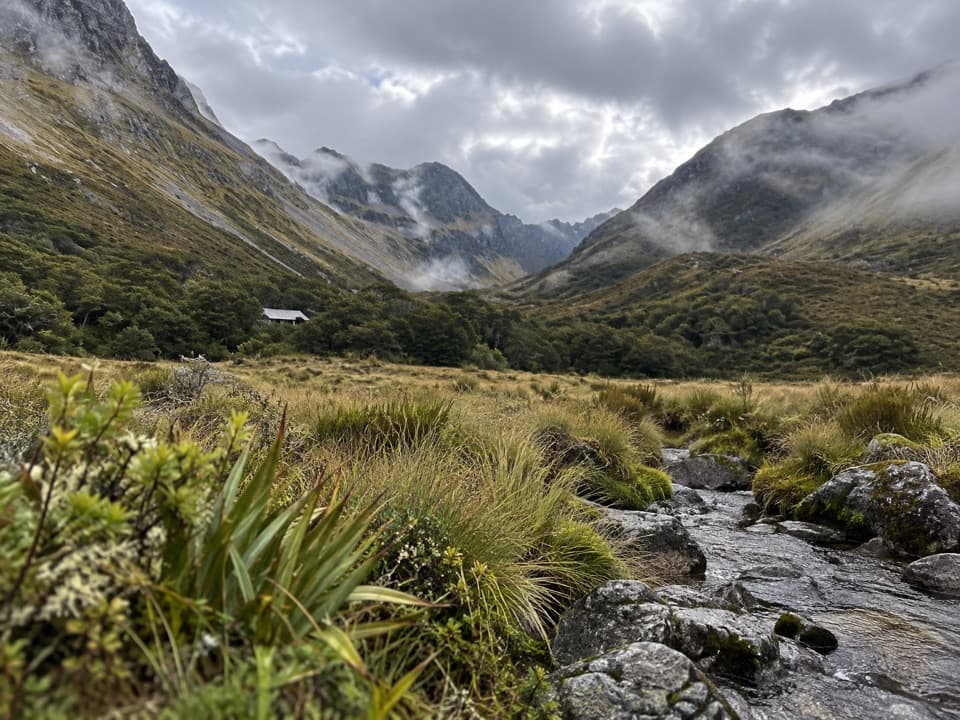 27Travers Valley Track to Upper Travers HutA demanding valley approach to Upper Travers Hut.
 28Jameson Ridge TrackA forest climb to an open ridge above Mole Stream.
 29Mount Misery TrackA 1,100-metre climb to a hut beside a tarn.
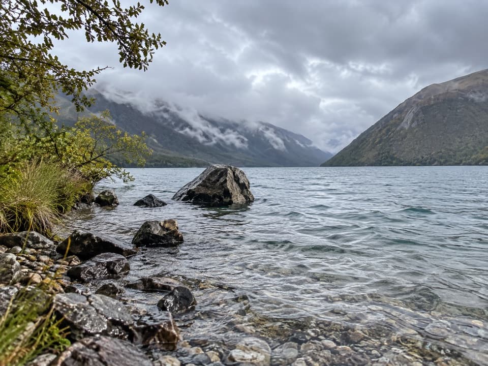 30Loop TrackA 4.5 km beech forest loop climbs terraces above Lake Rotoiti.
 31Black Hill WalkA steep forest loop climbs a glacial hill above St Arnaud.
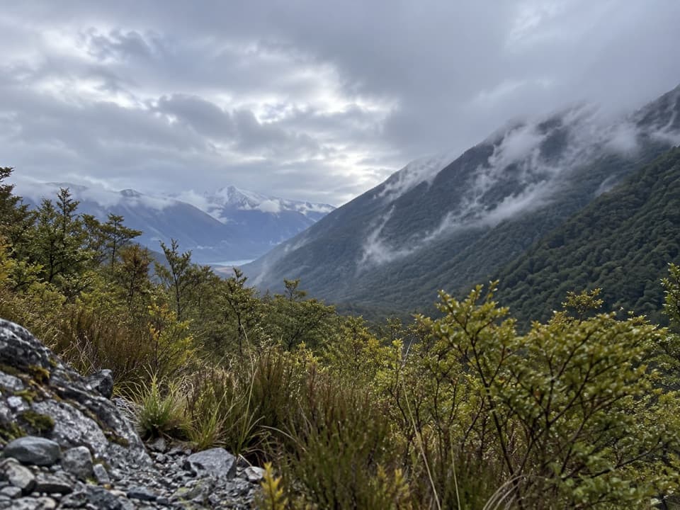 32Sabine TrackOpen flats, a river gorge and a hut above Lake Rotoroa.
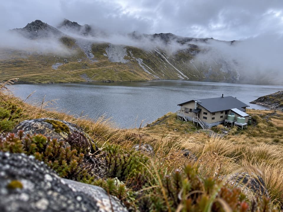 33Sunset Saddle RouteA remote saddle crossing links two alpine huts.
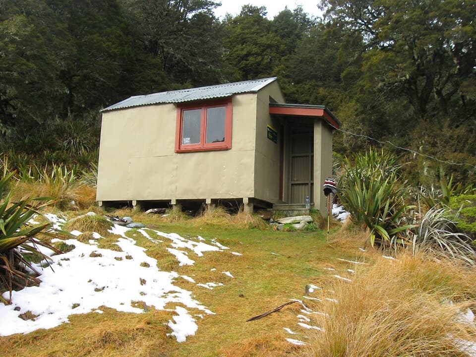 34Mole Stream Track to Mole HutA rough riverside approach to Mole Hut at the bush edge.
 35Tiraumea TrackA tough river traverse between Tutaki and D’Urville.
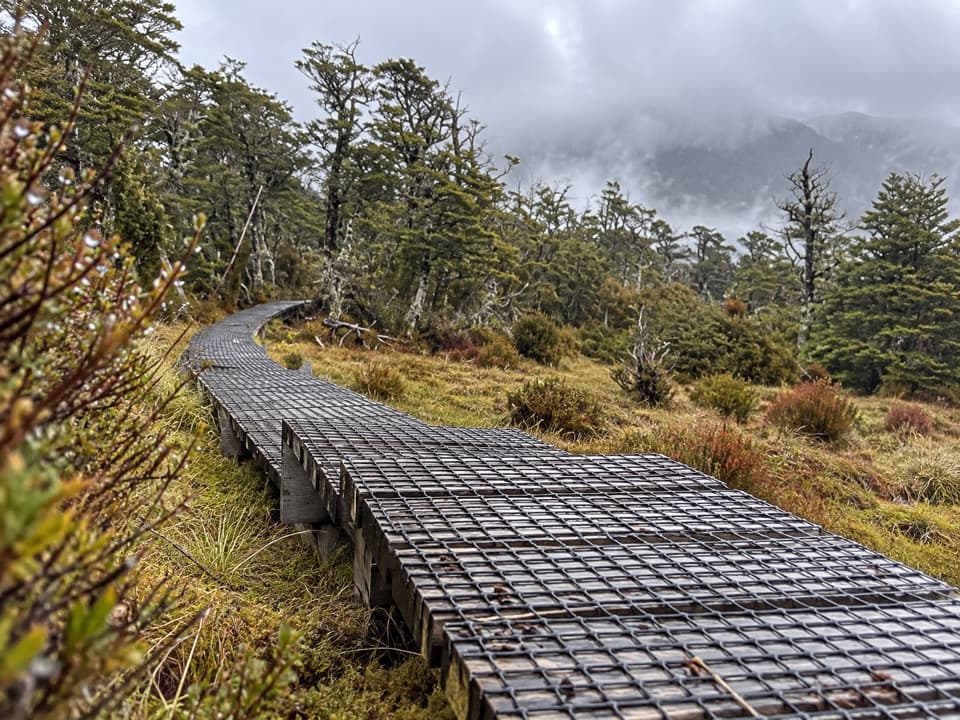 36Sabine–Speargrass TrackA remote hut crossing, with a boardwalk through mountain wetlands.
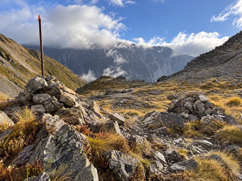 37Poukirikiri/Travers Saddle RouteAn alpine pass links two remote valleys in one demanding day.
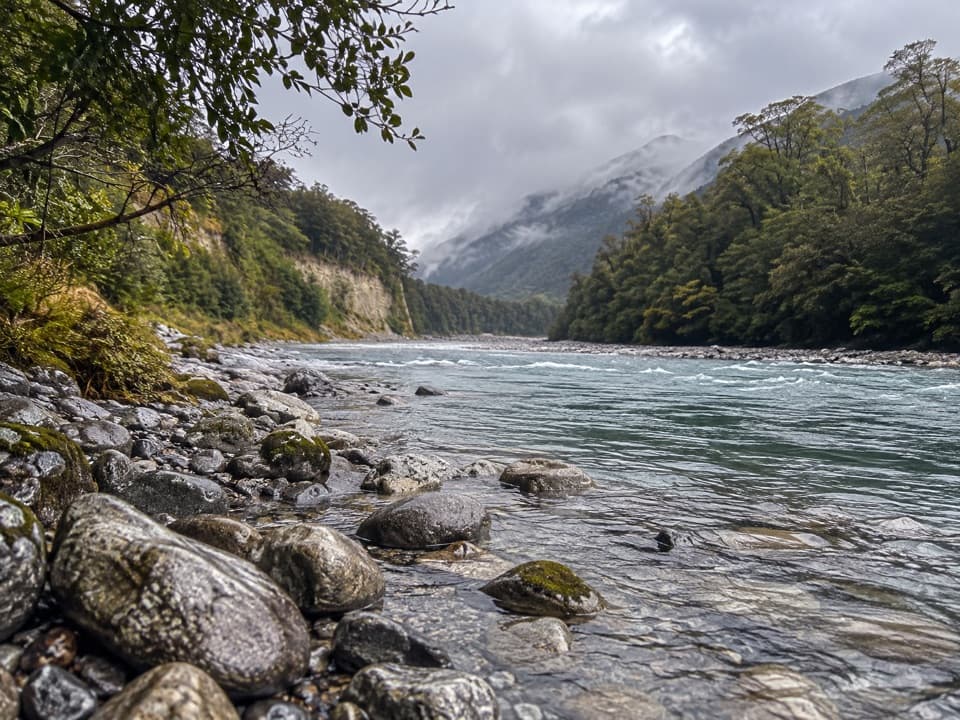 38Matakitaki Forks RouteA mossy beech track to a remote Matakitaki river crossing.
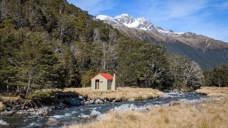 39East Matakitaki TrackA beech-forest tramp to a six-bunk hut beside the river.
 40West Matakitaki Track to Bobs HutA remote hut beneath the Spenser peaks, beyond a final river crossing.
 41Nardoo Creek RouteA remote creek approach to a two-bunk hut beneath Emily Peaks.42Mole–Jamieson LoopA creek-and-ridge circuit to open views at Mole Saddle.
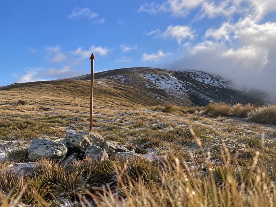 43Mole Saddle–Tiraumea TrackAn undulating ridge walk down to a backcountry hut.
 44Black Valley WalkFollow a beech-forest stream between the lake and St Arnaud.
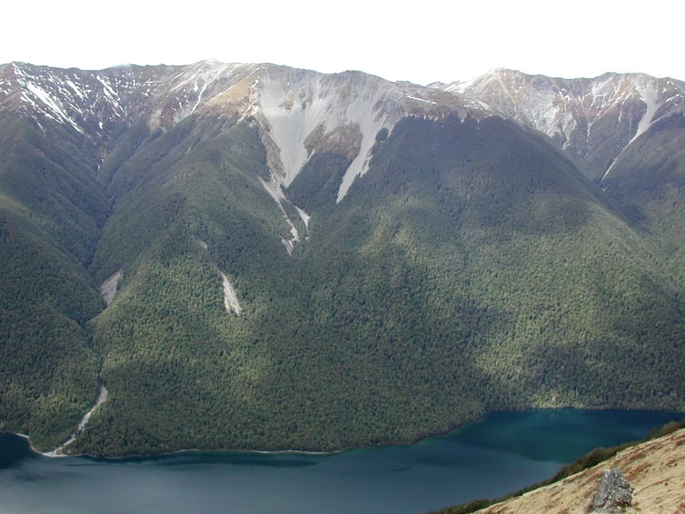 45Bushline Hut via Paddy’s TrackA steep climb to a high hut above Lake Rotoiti.
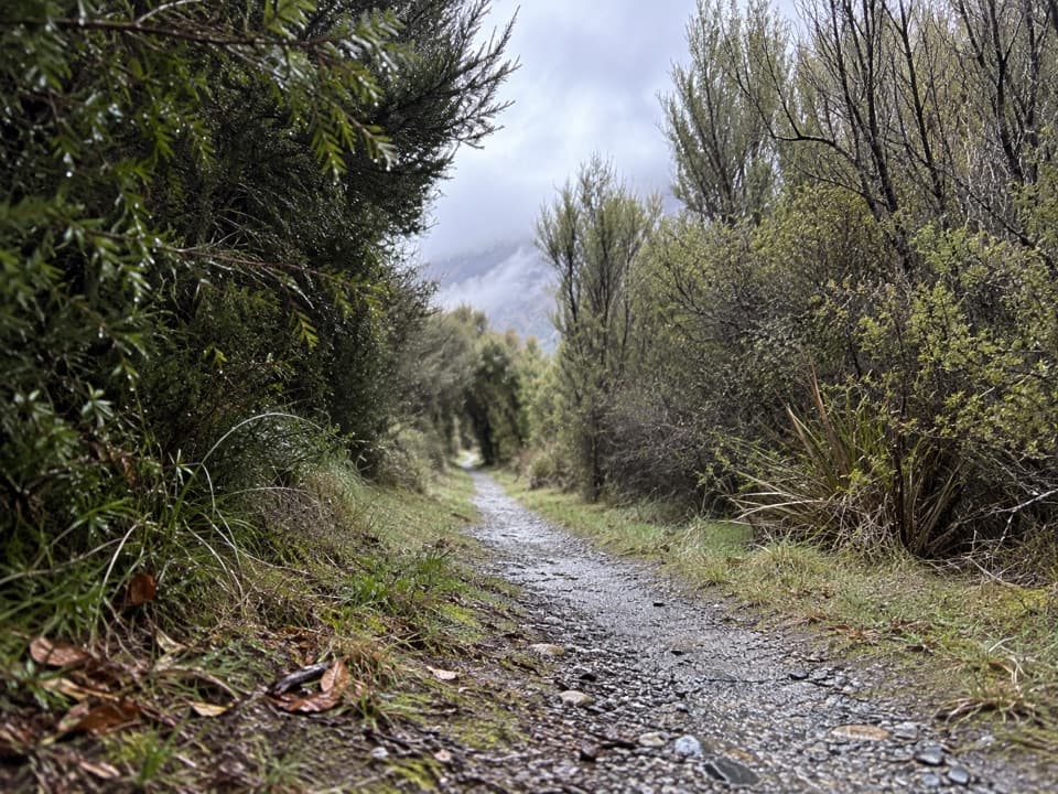 46Moraine WalkA gentle walk past kettle ponds and glacial gravel.
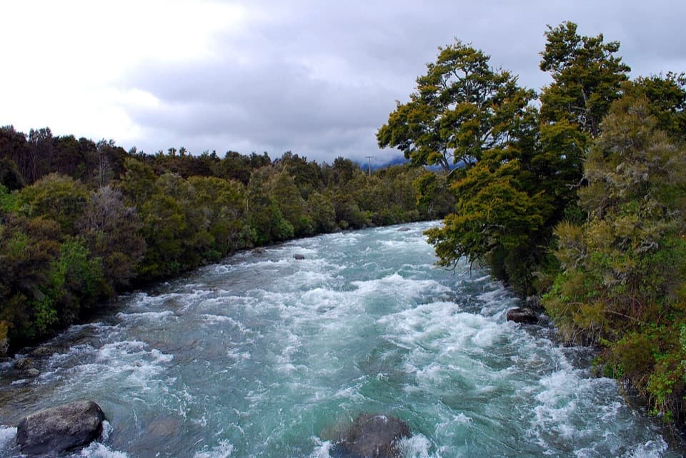 47Anglers WalkWalk the Buller from Lake Rotoiti’s outlet to the SH63 bridge
 48Flower Brothers WalkA short lakeshore walk through kahikatea forest to the Gowan outlet.
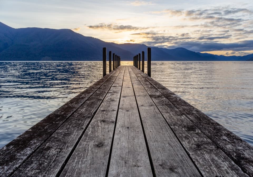 49D’Urville–Sabine TrackA remote 4.9-mile hut link with a serious stream crossing.
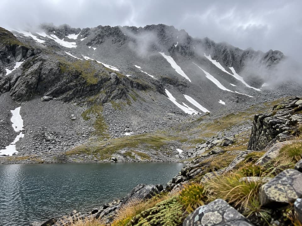 50Three Tarn Pass RouteA remote alpine crossing past three tarns into steep river country.
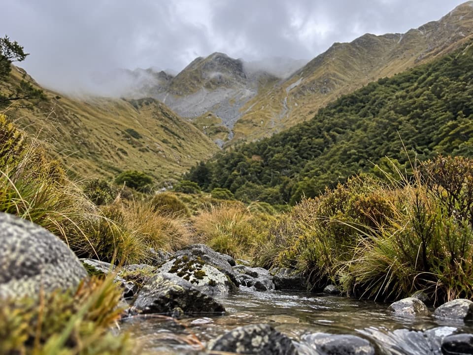 51Watson Creek RouteA steep creek climb into the Ella Range bushline
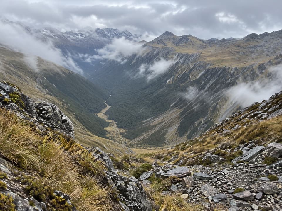 52David Saddle RouteA remote hut crossing over a steep, sparsely marked alpine saddle.
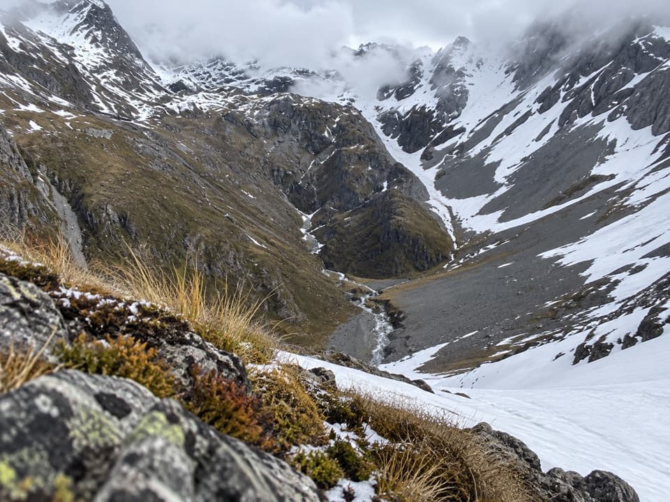 53Thompson Pass RouteA high alpine crossing for expert backcountry parties.
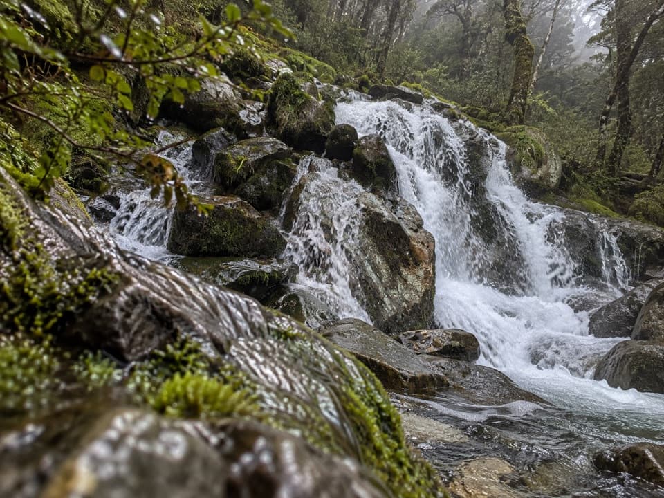 54McKellar Stream RouteA rough, remote descent from the Ella Range into Matakitaki Valley
 55Rainbow Pass from Upper Travers HutA steep hut-to-pass return with tarn reflections and a high alpine finish.
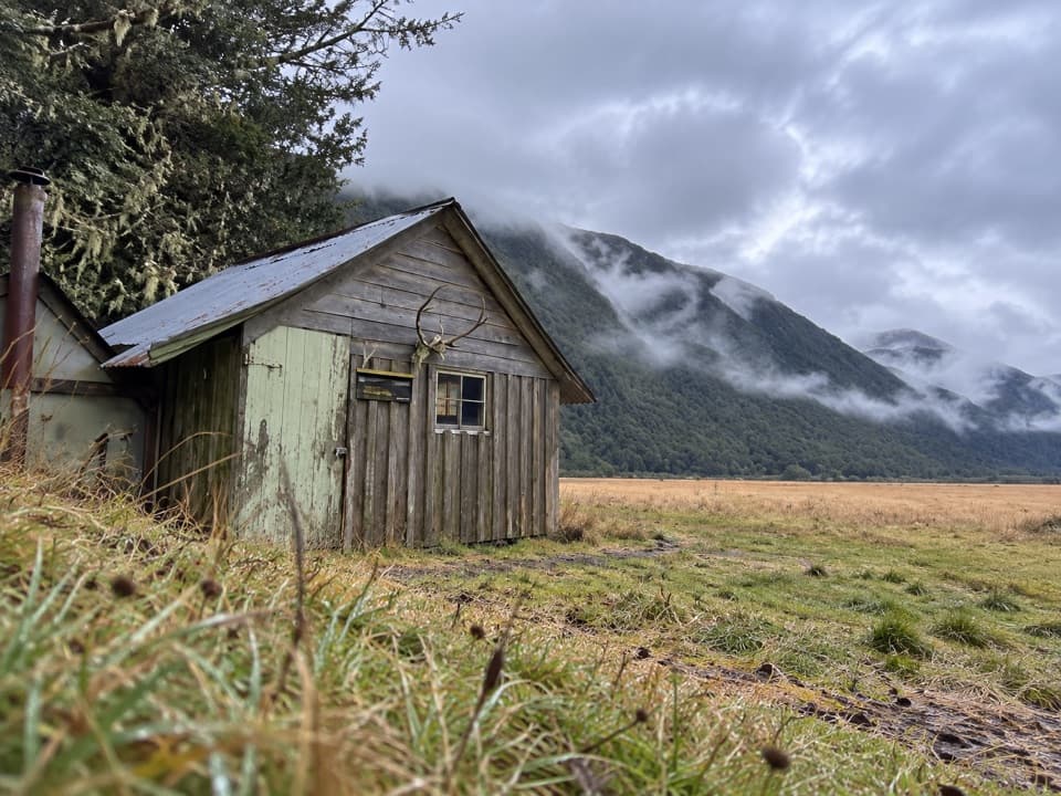 56Downies Hut TrackOne-way valley walk to a tiny pit-sawn historic hut.
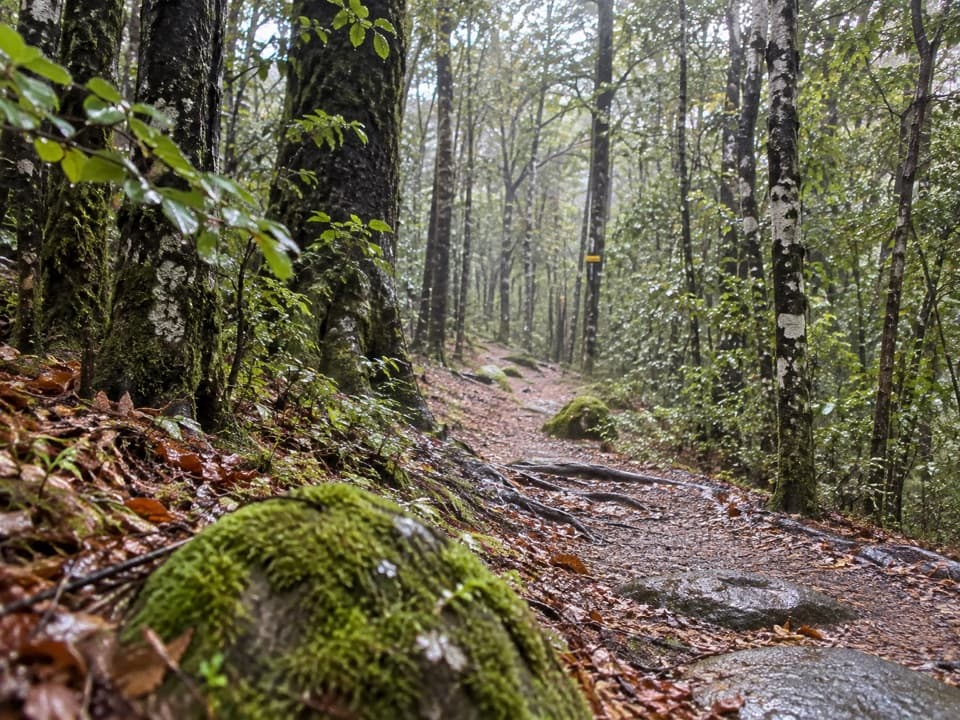 57Gibbs WalkA brief beech climb over old glacial moraine.

The highest, rockiest slopes around here are a summer buffet for grizzly bears.
Nelson Lakes Tour Guide
Nelson Lakes, narrated.
Parkwolf is a GPS audio tour guide for Nelson Lakes National Park. As you drive, it chimes in with what’s ahead: hidden gems, upcoming stops, history, geology, and wildlife, right through your car’s speakers.
Recorded for this place
Kerr Bay and Lake Rotoiti0:00 / 0:27
“You're approaching Kerr Bay, an easy place to get down to Lake Rotoiti without taking on a hike.”
Plays as you drive up to Lake Rotoiti – Kerr Bay and Jetty in the Parkwolf Nelson Lakes Tour Guide.
More stories near here in the app
- Nelson Lakes Visitor Centre
- St Arnaud: Food and Village Stops
- Lodge Road and Black Hill Walk
- West Bay, Lake Rotoiti
- 26 audio storiesacross Nelson Lakes’s roads, triggered by GPS as you drive
- Wildlife heatmapsfor New Zealand Falcon, Weka, Kererū, and 13 more
- Works offlinemaps, 57 trails, 47 places, and audio download before you lose signal
- CarPlay readysimple controls built for the drive
“Fantastic app with many points of information… It’s great to just turn on while you’re driving and it gives you an audio tour of the national Park. We love it!!!!”

