
All Pacific Rim places
52 places
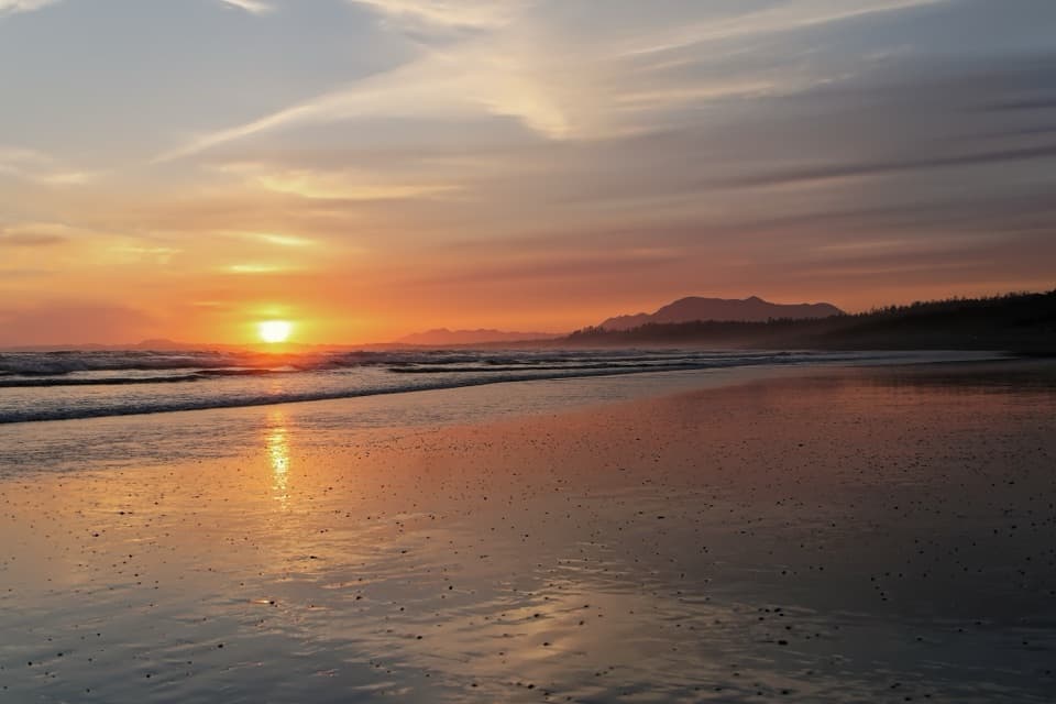
 1Long BeachA wide Pacific beach made for long, unrushed walks.
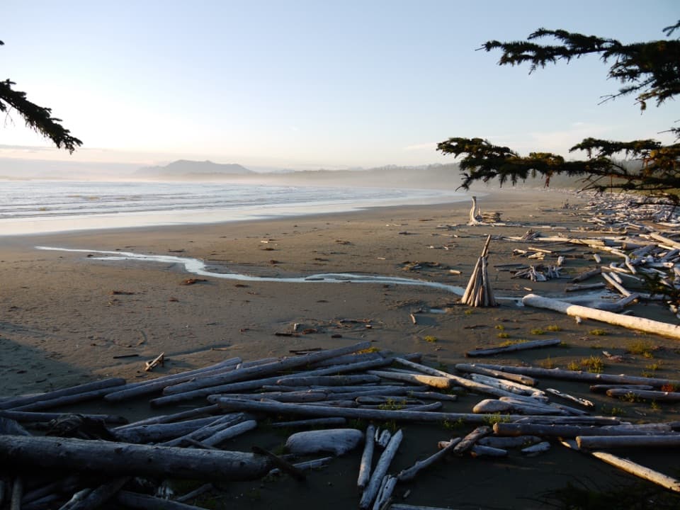 2Wickaninnish BeachDriftwood, wide sand and Pacific surf make this a proper beach stop.
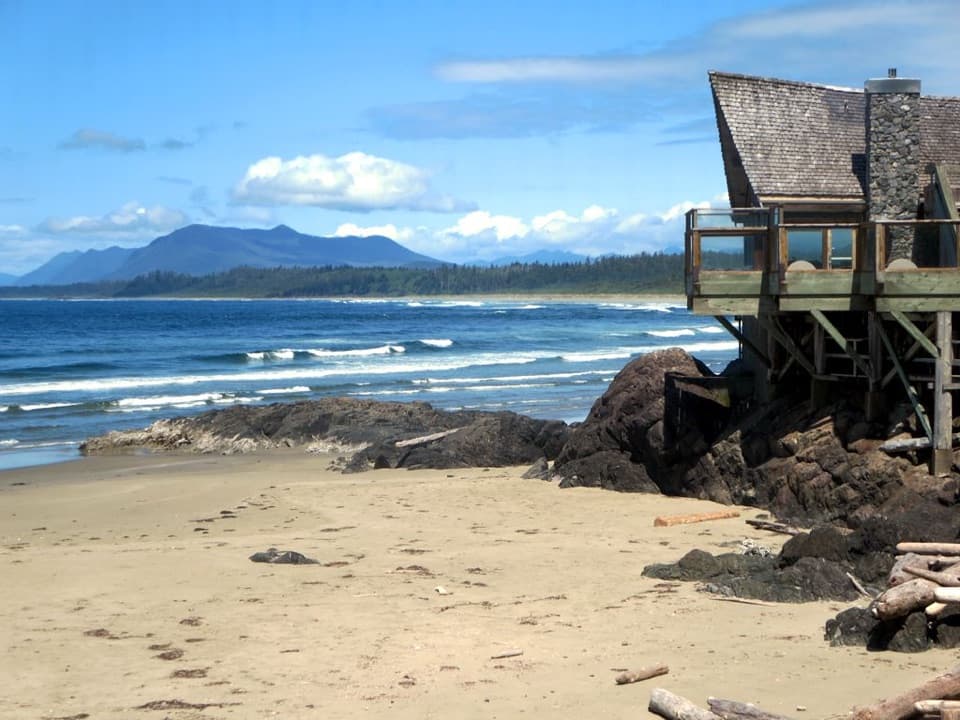 Kwisitis Visitor CentreExhibits and a Pacific view above Wickaninnish Beach.
 3Tsusiat FallsA wide waterfall runs straight onto the open beach.
 4Incinerator RockA tree-covered rock with Long Beach surf on both sides.
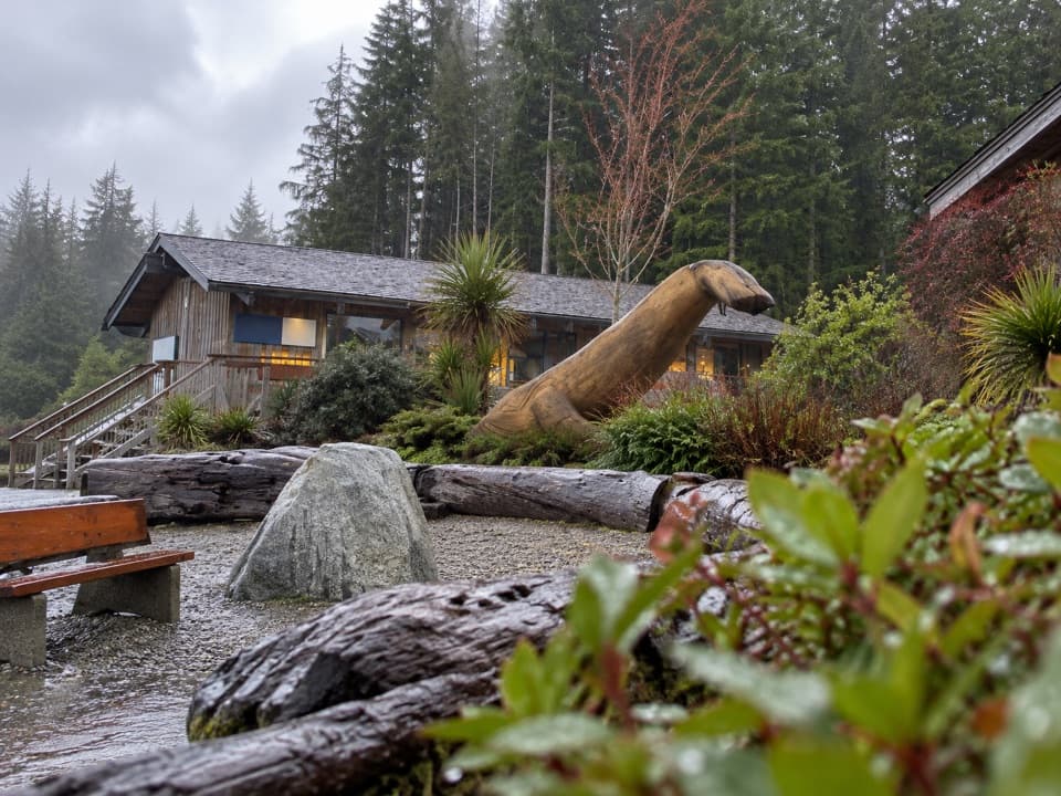 Pacific Rim Visitor CentreGet park maps and pass advice before choosing your next stop.
 5Owen Point Sea CavesA sandstone window to the Pacific, reached by a low-tide route.
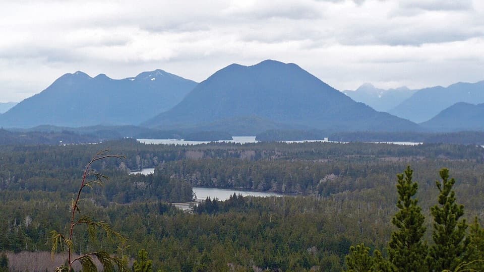 6Radar HillTwo coastlines and a Korean War memorial above Highway 4.
 Nitinaht CrabshackA family-run hot meal halfway along the West Coast Trail.
 7Combers BeachA broad, quieter beach after a short, steep forest walk.
 8Florencia BayA five-kilometre Pacific beach, best explored at low tide.
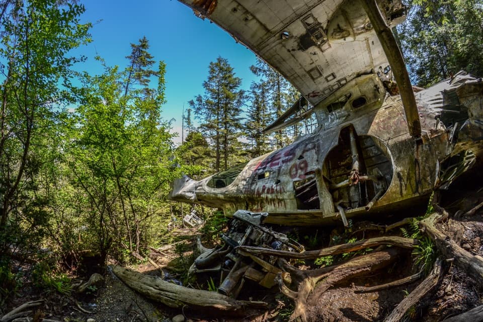 9Canso Plane Crash SiteA WWII flying boat wreck in the rainforest south of Radar Hill.
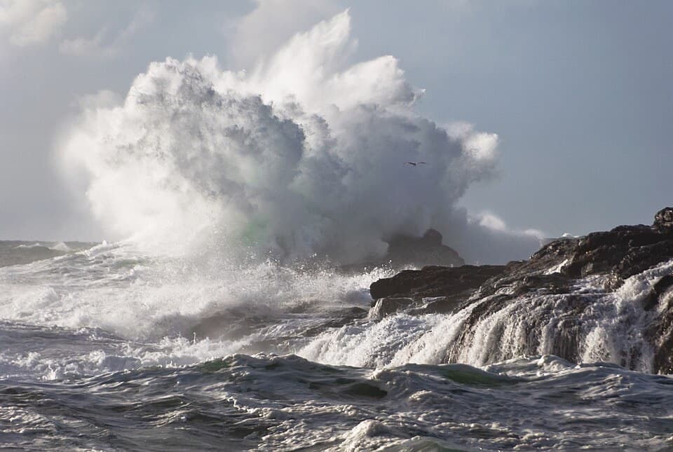 10South BeachA short, hilly walk ends where the waves put on a show.
 11Schooner Cove BeachForest gives way to a sandy cove with a tree-covered rock offshore.
 12Tsusiat Point Hole-in-the-WallA wave-carved arch to walk through when the tide allows.
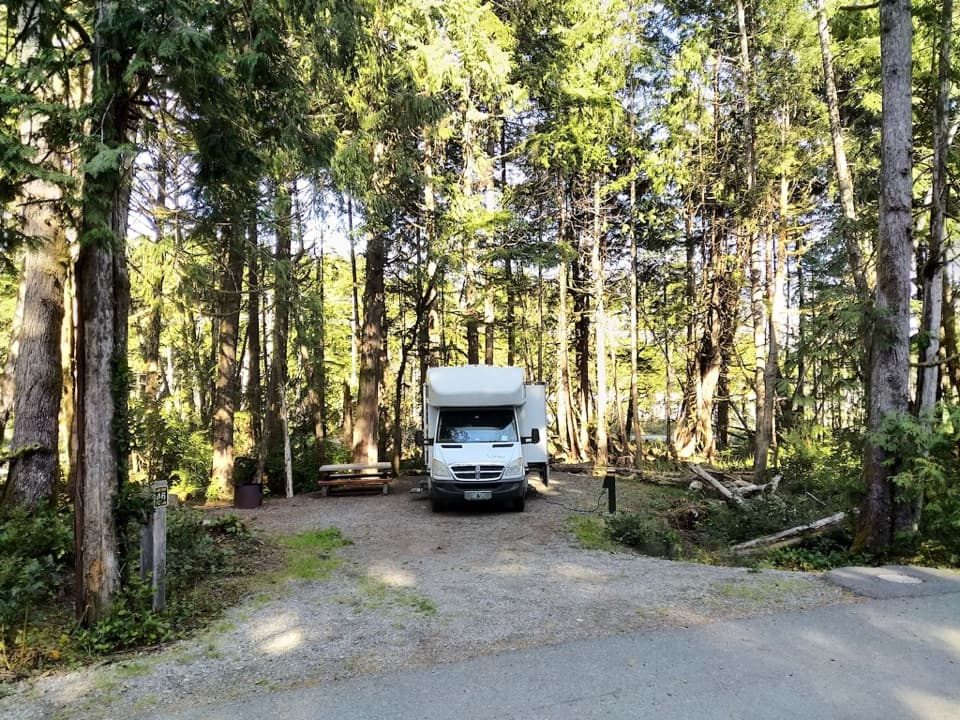 Green Point CampgroundA forested campground with Long Beach just down the bluff.
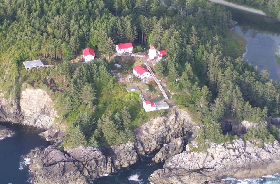 13Cape Beale LighthouseA 19th-century lightstation at the end of a tide-timed coastal hike
 14Keeha BeachA crescent of sand earned by 7 km of muddy, rooty trail.
 15Halfmoon Bay BeachA quieter cove reached by a stair-heavy forest walk.
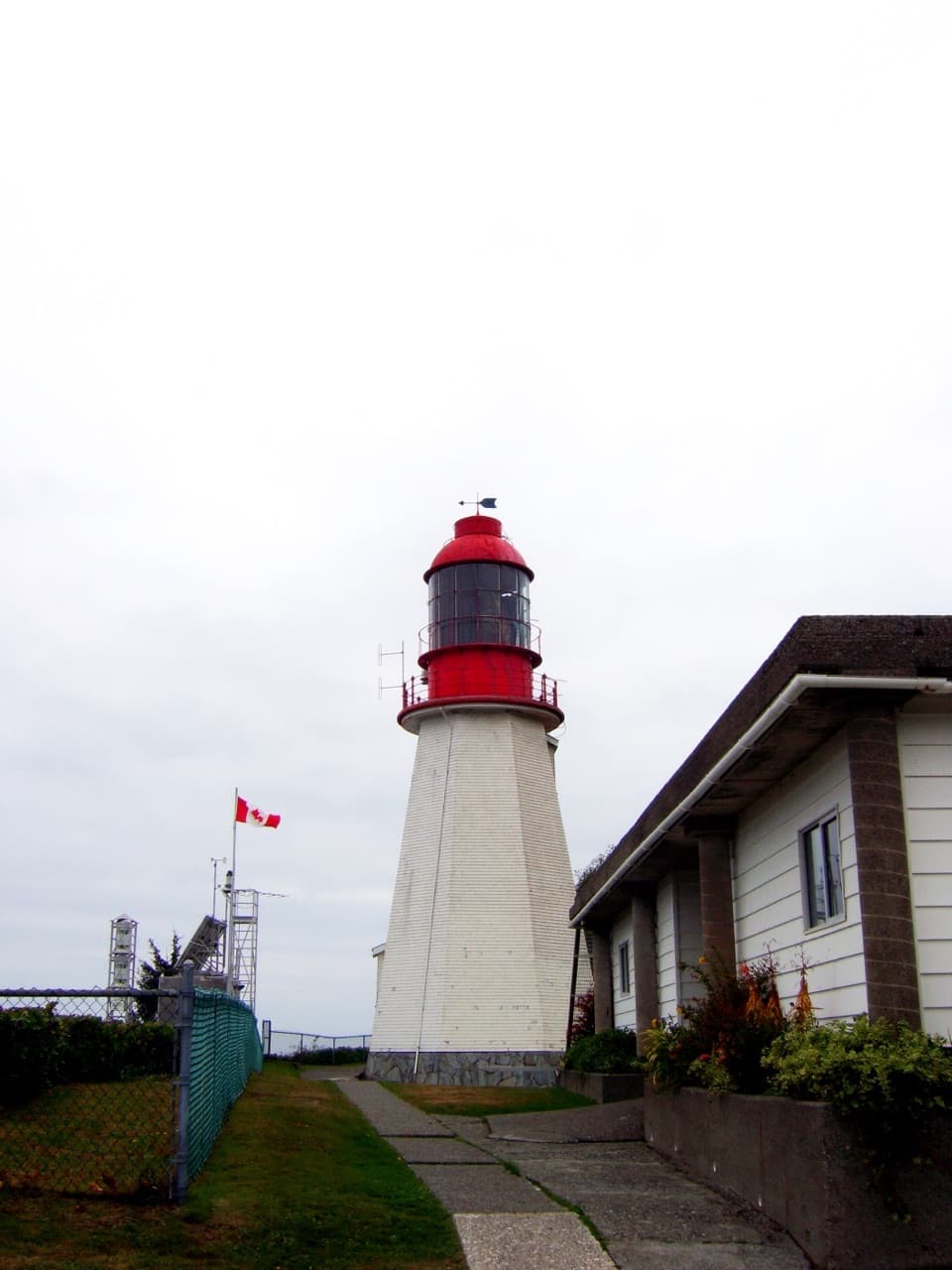 16Pachena Point LighthouseA 1907 lighthouse built after a deadly shipwreck.
 17Carmanah Point LighthouseAn 1891 lightstation tied to the coast’s shipwreck and telegraph stories.
 Secret Beach Campground & Kayak LaunchA remote road launch that puts the Broken Group within reach.
 Bonilla Point CampgroundA West Coast Trail camp beside sea stacks and Bonilla Falls.
 18Kennedy Lake Swim BeachA freshwater swimming stop beside Highway 4.
 Pachena Bay West Coast Trail Orientation CentreRequired orientation and trail updates before the West Coast Trail.
 Gordon River West Coast Trail Orientation CentreGet your required West Coast Trail briefing at the south end.
 Balaats’adt (Nitinaht Village) Orientation CentreA required briefing before the West Coast Trail water-taxi transfer.
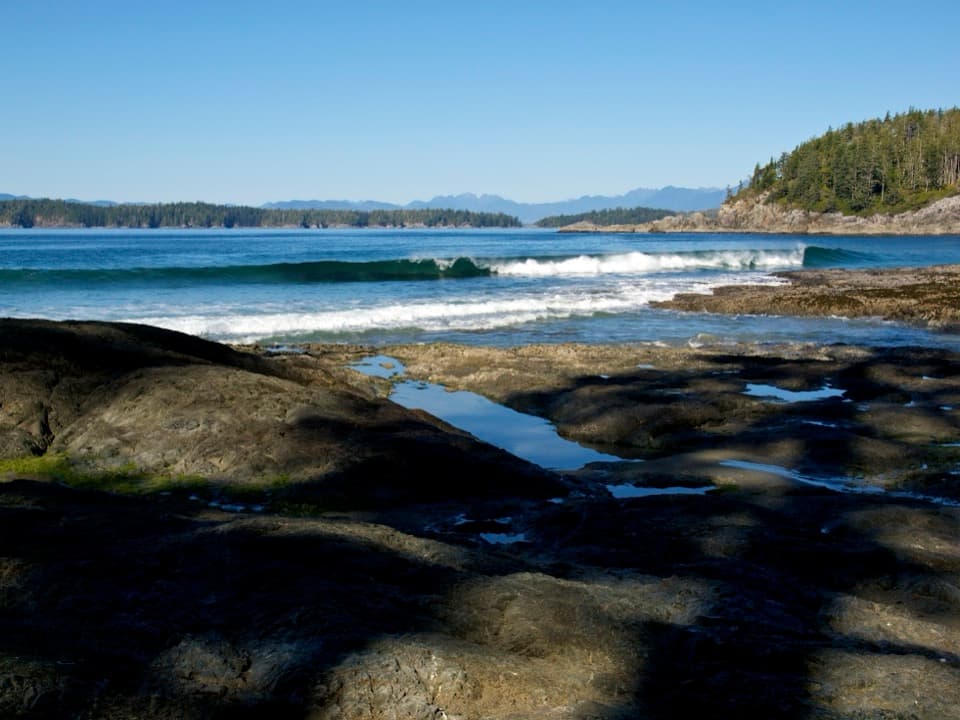 19Tapaltos BeachA crescent beach that takes a rough forest walk to reach.
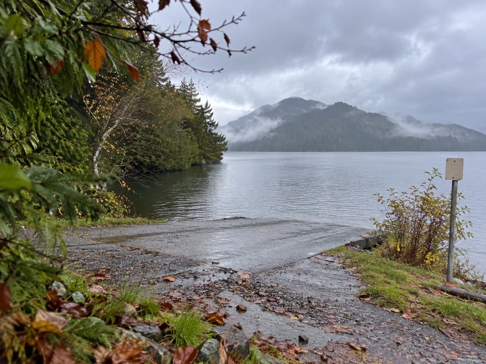 20Grice Bay Boat LaunchA sheltered inlet for kayaking and small-boat launches.
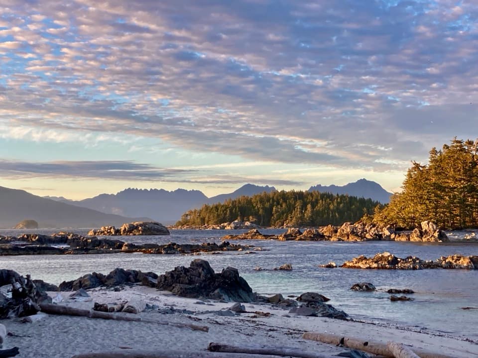 Clarke Island CampgroundA boat-only island camp where you bring your drinking water.
 Pachena Bay CampgroundA beachside staging camp for West Coast Trail hikers.
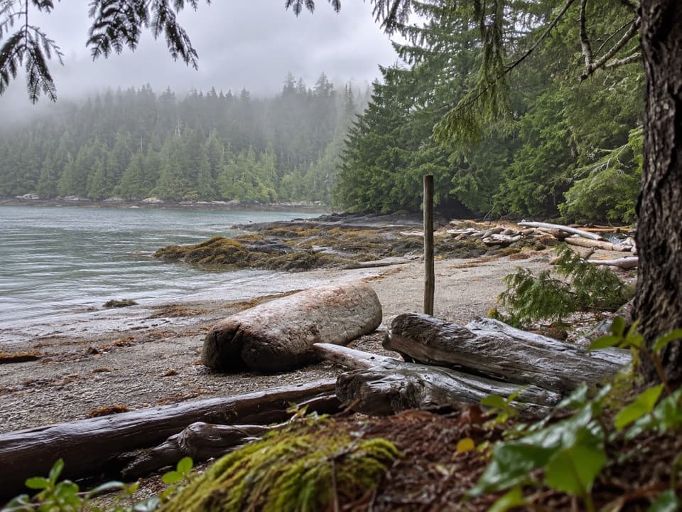 Gilbert Island CampgroundA boat-in camp for paddlers exploring the western outer islands
 Cribs Creek CampgroundA beach campsite with a creek, breakwater and tide pools.
 Pacheedaht CampgroundRiver, forest or beach camping near the West Coast Trail's south end.
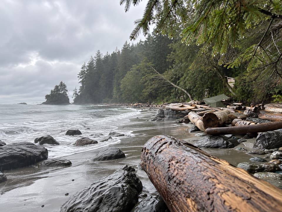 Thrasher Cove CampgroundA sensible first night on the West Coast Trail
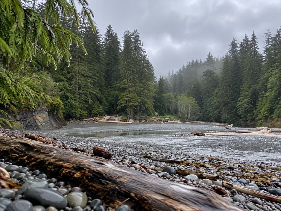 Camper Bay CampgroundA creek-mouth camp on a challenging West Coast Trail stretch.
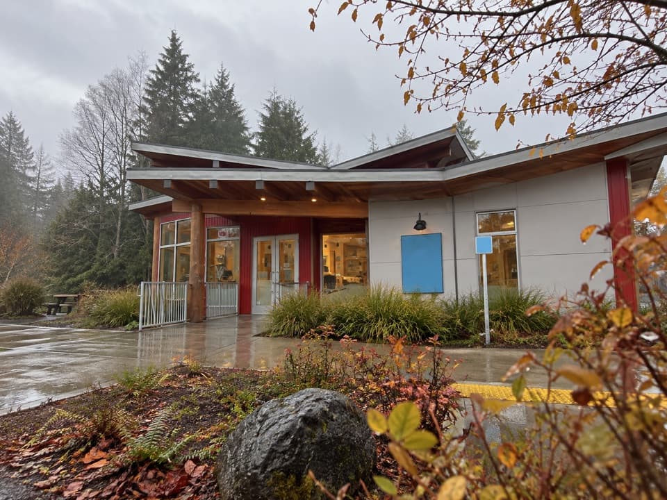 Tofino Visitor CentreStop in for local maps, trip advice and a Parks Canada pass.
 Walbran Creek CampgroundA strategic camp before the West Coast Trail's toughest forest stretch.
 Broken Islands LodgeA kayak base for paddling the boat-only Broken Group.
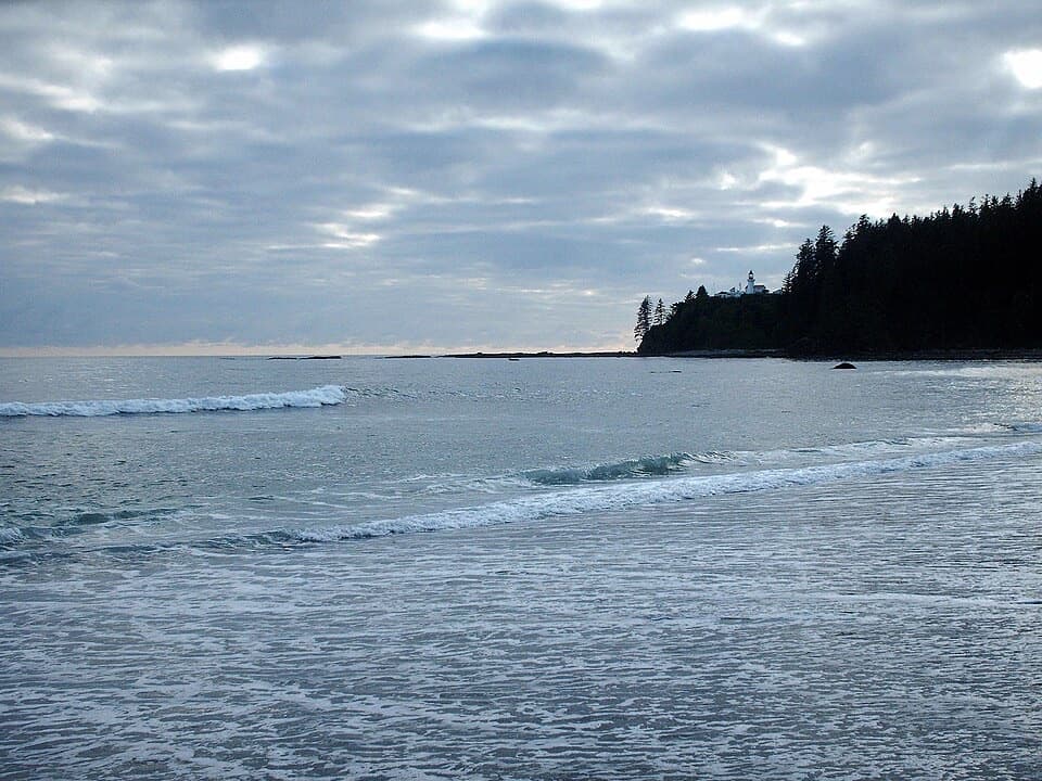 Carmanah Creek CampgroundBeachside camping beside the creek crossing, around km 46.
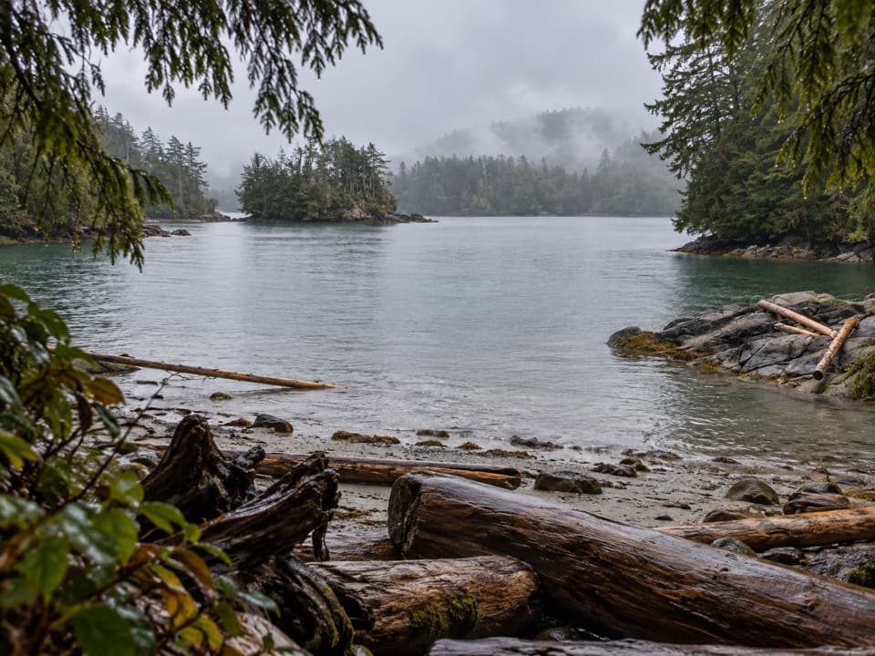 Turret Island CampgroundBoat in for grassy campsites and sunset views in the Broken Group.
 Hand Island CampgroundA useful boat-in camp on the Broken Group's northern edge.
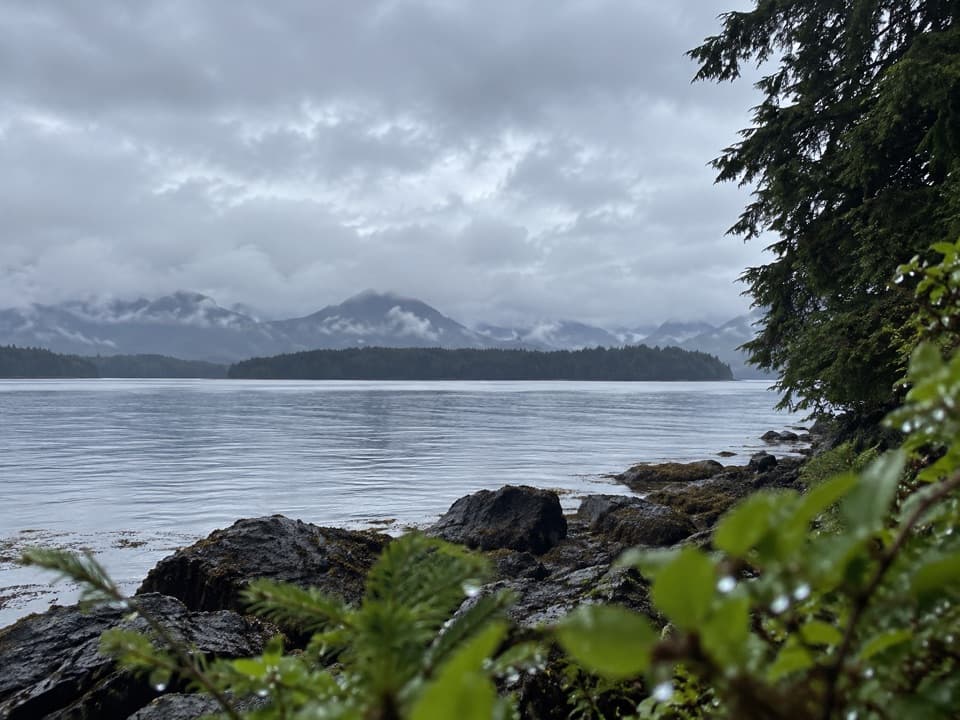 Dodd Island CampgroundA boat-in campsite among forested islands and tidal channels.
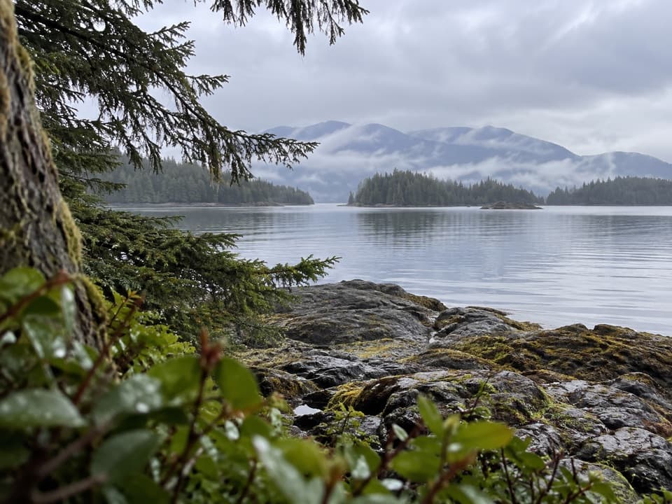 Gibraltar Island CampgroundA boat-in island base for exploring the Broken Group.
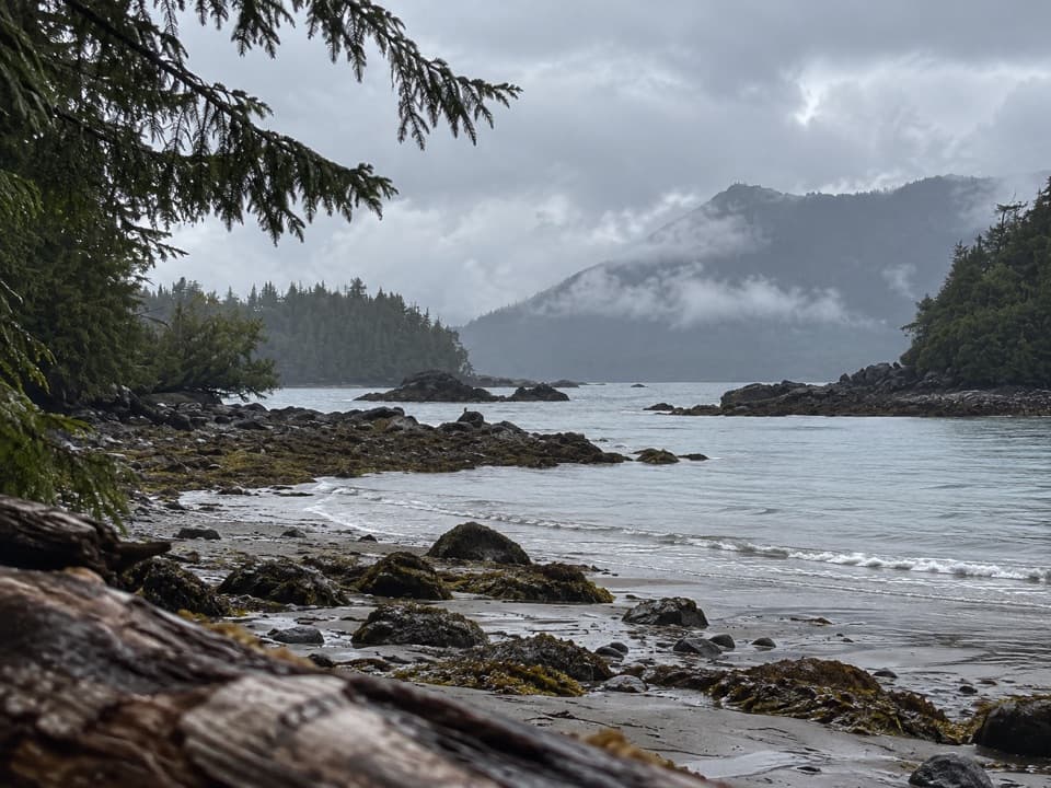 qaaha (Willis Island) CampgroundA boat-only island camp, closed since the 2024 windstorm.
 Michigan Creek CampgroundA shaded beach camp about 12 km into the West Coast Trail.
 Darling River CampA beach camp with a short detour to Darling Falls.
 Tsocowis Creek CampA creek pours onto this beach camp, 17 km downtrail.
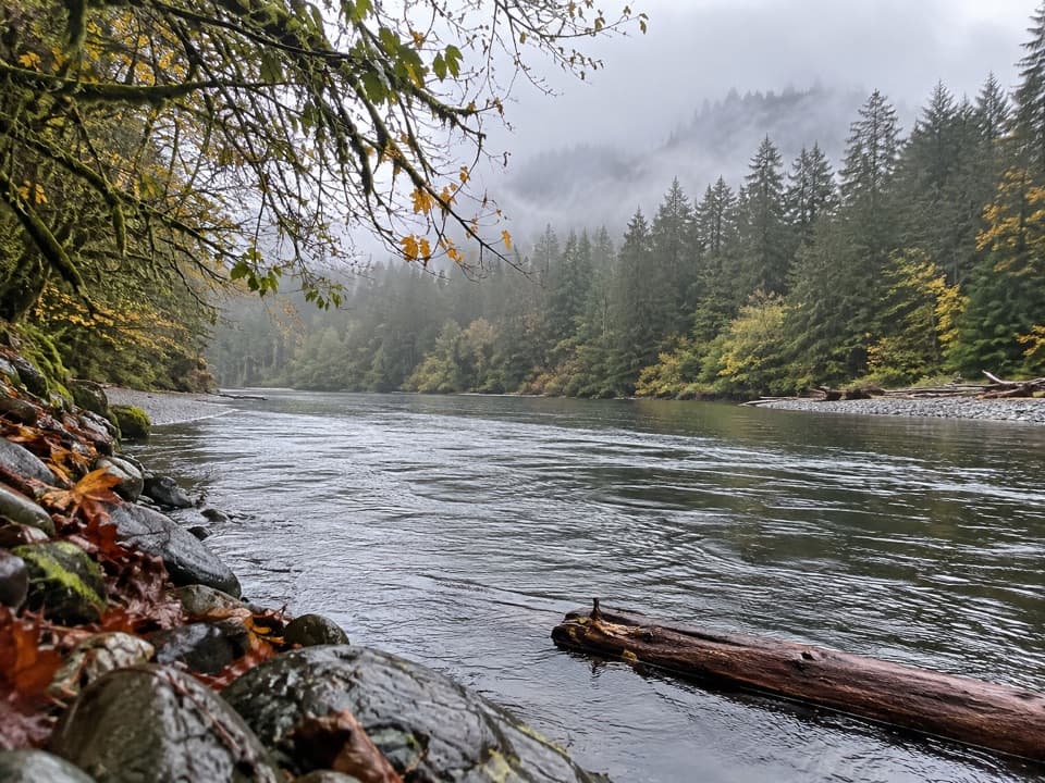 Klanawa River CampA less-used river-mouth camp on the West Coast Trail
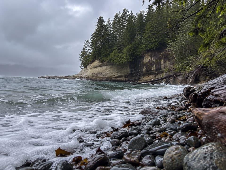 Cullite Creek CampA pebble-cove camp tucked into the West Coast Trail.
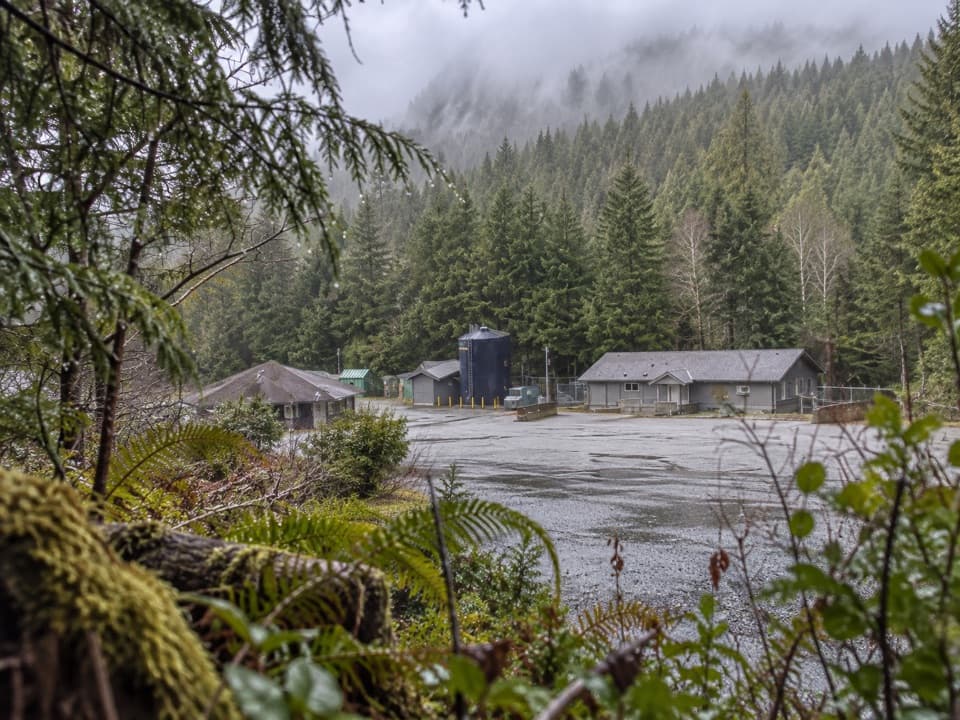 21National Park Reserve Administration OfficeA useful roadside errand for visitors who need park services.
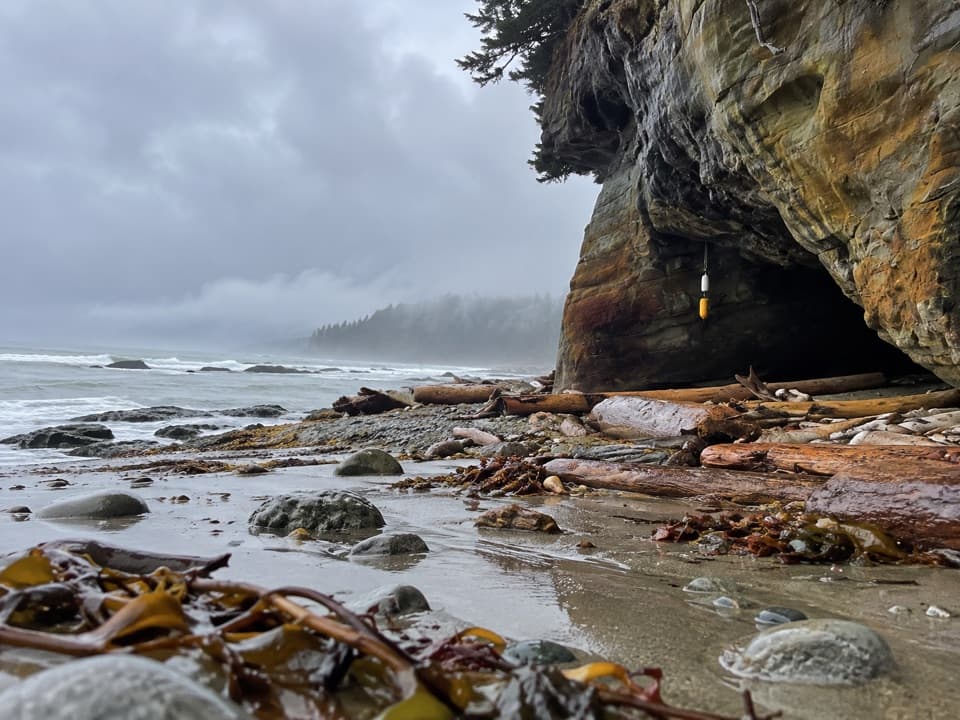 Orange Juice Creek CampA rough beach camp beside a vivid creek and wave-worn cave.

The highest, rockiest slopes around here are a summer buffet for grizzly bears.
Pacific Rim Tour Guide
Pacific Rim, narrated.
Parkwolf is a GPS audio tour guide for Pacific Rim National Park Reserve. As you drive, it chimes in with what’s ahead: hidden gems, upcoming stops, history, geology, and wildlife, right through your car’s speakers.
See the Pacific Rim audio tourRecorded for this place
Long Beach and Incinerator Rock0:00 / 0:29
“You're coming up on Long Beach and the access to Incinerator Rock. Stop here for open sand, rolling surf, and a chance to watch surfers from shore.”
Plays as you drive up to Long Beach in the Parkwolf Pacific Rim Tour Guide.
More stories near here in the app
- The Living Sand Dollar
- A Seabird in the Treetops
- Schooner Cove
- Four Sides from One Board
- 34 audio storiesacross Pacific Rim’s roads, triggered by GPS as you drive
- Wildlife heatmapsfor Orca, Humpback Whale, Black Bear, and 13 more
- Works offlinemaps, 19 trails, 52 places, and audio download before you lose signal
- CarPlay readysimple controls built for the drive
“Fantastic app with many points of information… It’s great to just turn on while you’re driving and it gives you an audio tour of the national Park. We love it!!!!”

