Parking
Start at the Boca Tauce viewpoint on TF-21, km 53.1. Parking is limited; bus 342 serves the Boca Tauce stop.
Teide National Park, TF
A steep climb to the twin vents of Teide’s 1798 eruption.
Overview
Map & elevation
Plan your hike

The highest, rockiest slopes around here are a summer buffet for grizzly bears.
Teide Tour Guide
Parkwolf is a GPS audio tour guide for Teide National Park. As you drive, it chimes in with what’s ahead: hidden gems, upcoming stops, history, geology, and wildlife, right through your car’s speakers.
Recorded for this trailhead
Boca Tauce and Juan Évora Museum“Boca Tauce is ahead, with a roadside view of Teide and Pico Viejo across the lava plain. It's an easy stop for the panorama, but the nearby Juan Évora Museum adds a more personal story.”
Plays as you drive up to this trailhead in the Parkwolf Teide Tour Guide.
More stories near here in the app
“Fantastic app with many points of information… It’s great to just turn on while you’re driving and it gives you an audio tour of the national Park. We love it!!!!”


Trail guide
PNT 28 Chafarí is a linear 6.6 km (4.1 mi) ascent one way from Boca Tauce to the PNT 09 junction at Las Narices del Teide. The climb takes about 3 hours 5 minutes, gaining roughly 756 m and ending above 2,700 m. It’s a proper high-mountain route to Pico Viejo’s volcanic vents, not a quick viewpoint walk. The upper end has no road access. If you return to Boca Tauce on foot, you’ll cover about 13.2 km round trip; otherwise, plan a continuation via PNT 09 before setting out.
Start at the Boca Tauce viewpoint on TF-21, km 53.1. Parking is limited, and bus 342 serves the nearby stop. Advance authorization is required for every hiker, and the reservation allows the route in either direction on the selected day. The finish is only accessible on foot via PNT 09; that trail also requires advance authorization. You can continue toward La Rambleta or descend toward the roadside Narices viewpoint, but both are beyond PNT 28 and need their own plan.
The required kit includes mountain footwear, long trousers, warm clothing, a thermal blanket, hat and gloves, water, a charged phone and a torch. Ice or snow adds crampons and an ice axe. Pets are prohibited except guide dogs; children under three can’t go, and anyone under 16 must be with an adult.
The lower section follows the dirt track called Los Chircheros through Teide broom growing over lava flows from Pico Viejo. When the track ends, a marked path climbs steeply over loose picón from the 1798 eruption. The surface shifts underfoot, and the higher, thinner air adds to the effort. The upper climb is the slow, demanding part, especially if you plan to descend the same way.
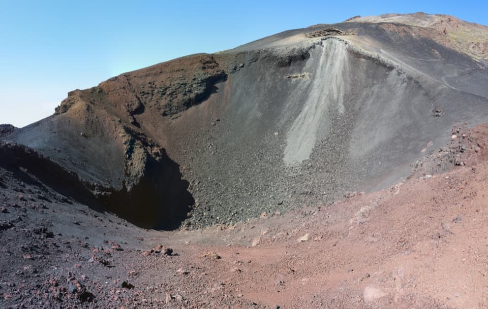
Las Narices del Teide means “Teide’s Nostrils”: the paired craters formed on Pico Viejo during the 1798 eruption. Lava flowed for three months, in millions of cubic metres. At the route’s high finish, the nearer crater and its dark, red-streaked volcanic slopes make the destination clear; frame some of that loose slope below the rim to show the crater’s shape.
Wildlife
 15 sightingsShort-finned Pilot WhaleMost seen around 9 AMSighting map
 829 sightingsTenerife LizardMost seen around 11 AMSighting map
 11 sightingsWest Canary SkinkMost seen around 11 AMSighting map
 98 sightingsTenerife Blue ChaffinchMost seen around 8 AMSighting map
 45 sightingsKestrelMost seen around 10 AMSighting map
 10 sightingsBarbary PartridgeMost seen around 7 AMSighting map
Sighting maps show where each species has been reported across Teide. Wildlife moves, so no sighting is guaranteed.
Keep exploring
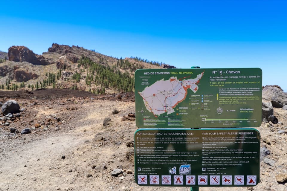 EasyPNT 18 Chavao Trail4.4 km · 1.8 hr · 0.3 km awayAn easy lava traverse to Pico Viejo and the Narices eruptive mouths.
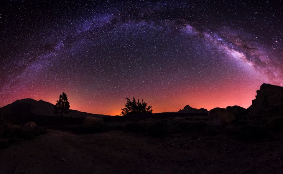 ModerateBoca Tauce to Refugio de Chasogo Trail8.3 km · 3 hr · 0.3 km awayTrade lava paths for pine forest on the way to Chasogo.
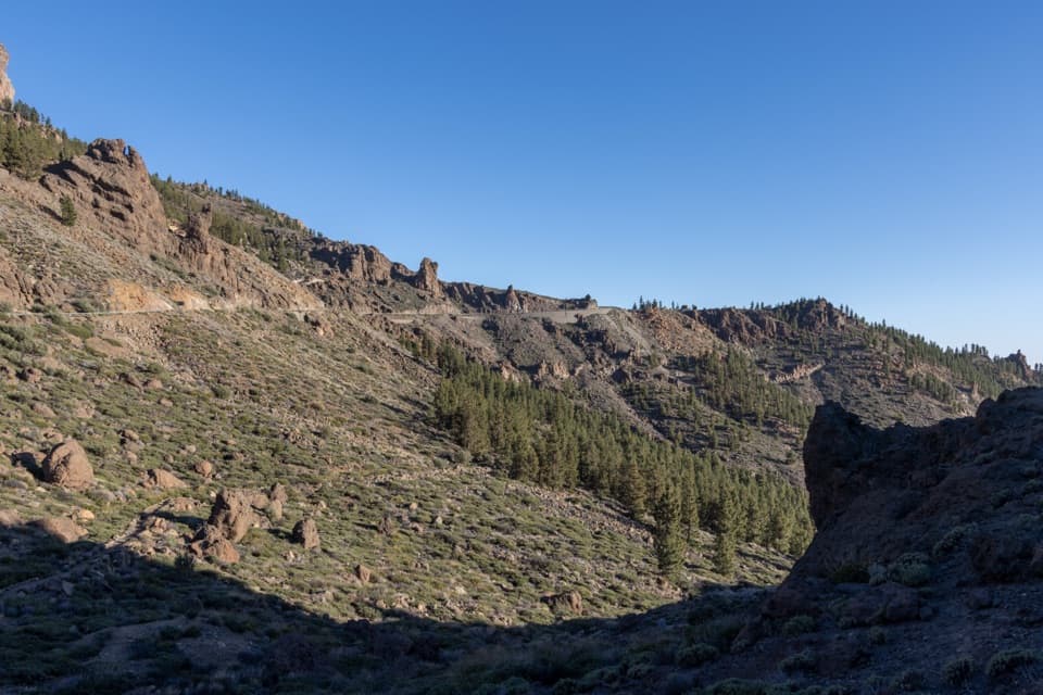 ModeratePNT 41 Barranco de Erques Trail1 km · 45 min · 0.4 km awayA one-way, 145-meter drop from Teide’s highlands to the ravine.
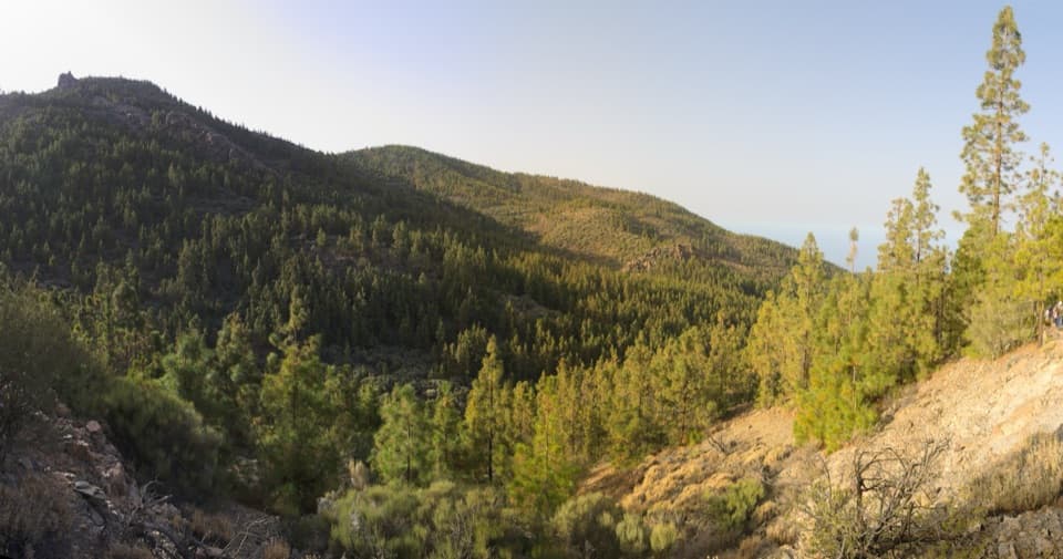 EasyPNT 35 Boca Chavao Trail0.7 km · 30 min · 2 km awayA short, steep descent to Fuente de Chavao
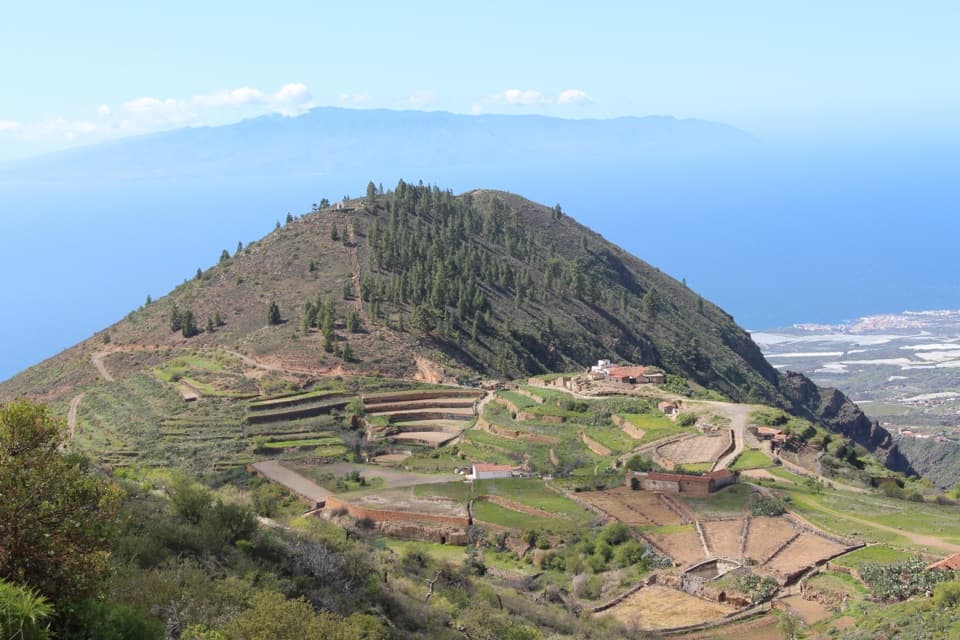 ChallengingPR-TF 70.2 Boca Tauce–Las Fuentes Trail6.7 km · 2.7 hr · 2.2 km awayA steep descent from highland pines to a terraced farming hamlet.
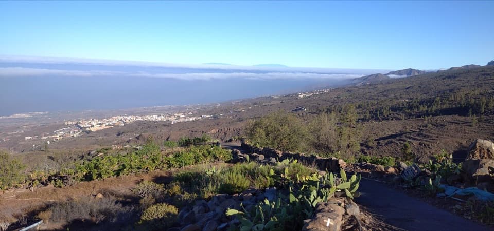 ModeratePR-TF 70.1 Boca Tauce–El Jaral Trail7 km · 3.1 hr · 2.9 km awayA highlands-to-village descent through pines and old footpaths.
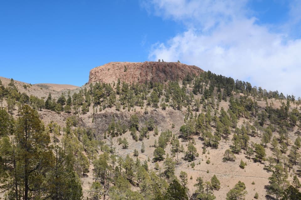 ModerateSombrero de Chasna Loop7.3 km · 3 hr · 3.5 km awayA Tenerife summit loop with a short hands-on scramble.
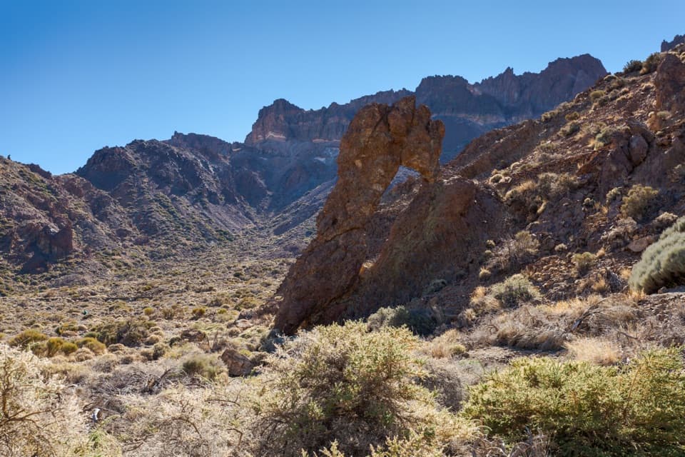 EasyPNT 40 Llano de Ucanca to Boca Tauce Trail4.8 km · 2 hr · 4.3 km awayWalk Teide's open caldera plain from Llano de Ucanca to Boca Tauce.
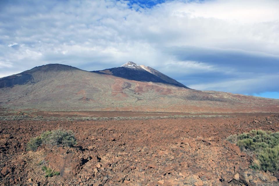 Sight · At the trailheadBoca de Tauce ViewpointA quick stop for the Teide–Pico Viejo panorama and lava plain.
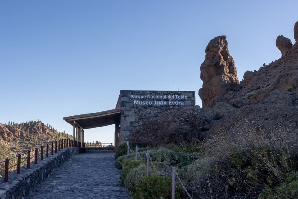 Sight · 0.4 km awayJuan Évora Ethnographic MuseumA restored shepherd’s home with a short, personal story of Las Cañadas.
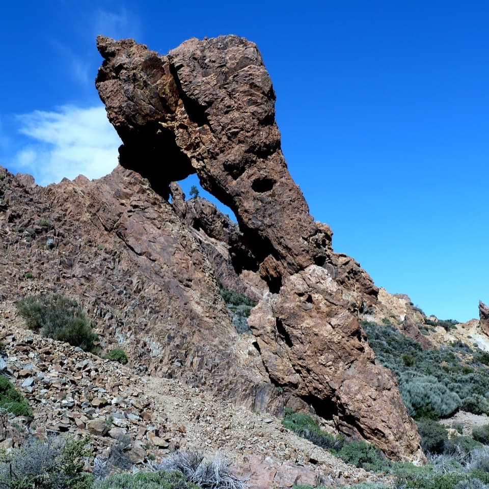 Sight · 2.1 km awayZapatilla de la ReinaA shoe-shaped rock makes this quick roadside stop memorable.
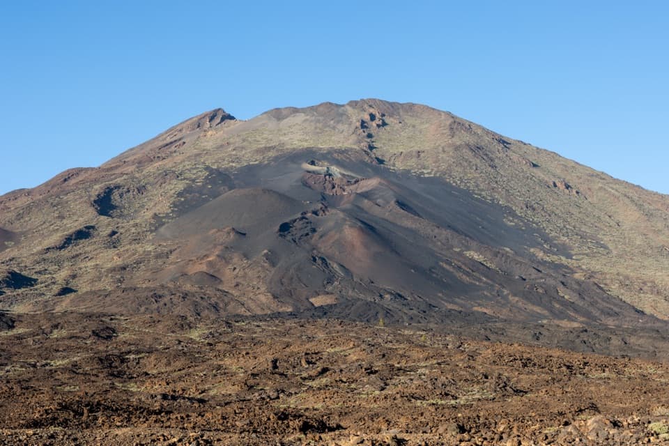 Sight · 3.3 km awayNarices del Teide ViewpointTwo 1798 eruption vents on Pico Viejo, right beside the TF-38.
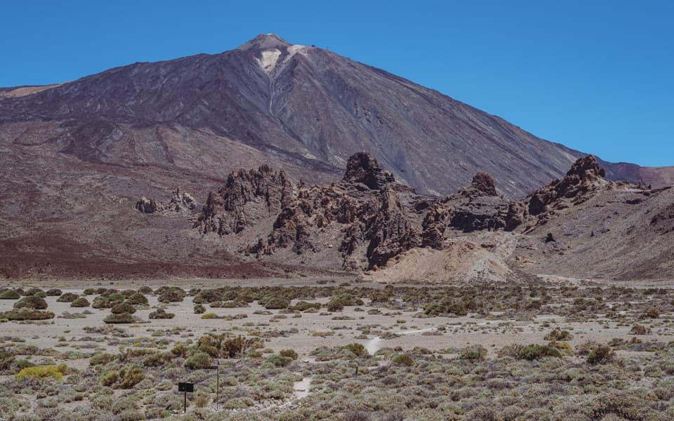 Sight · 4.3 km awayLlano de Ucanca 1 ViewpointA broad volcanic plain sets up Teide, Pico Viejo and La Catedral.
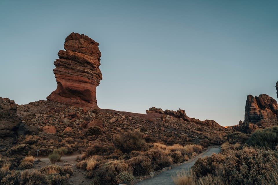 Sight · 4.7 km awayRoques de GarcíaA stone sentinel with Teide rising behind a whole volcanic caldera.
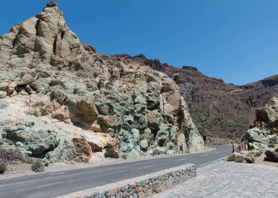 Sight · 5 km awayLos Azulejos ViewpointA quick stop for vivid rocks and a view over Ucanca.
 Sight · 5.1 km awayErmita de Nuestra Señora de las NievesSpain’s highest-altitude Catholic church sits above 2,000 m on Teide.
Parkwolf’s Teide ranking

The audio tour guide for the drive, plus offline maps, trails, and wildlife heatmaps for when the signal drops.





