PNT 40 Llano de Ucanca to Boca Tauce Trail in Teide National Park

Teide National Park, TF

PNT 40 Llano de Ucanca to Boca Tauce Trail

Walk Teide's open caldera plain from Llano de Ucanca to Boca Tauce.

Photo: Wikimedia Commons
Length
4.8km
Time
2hr
Elev. change
28m
Difficulty
Easy
  • High point 2,037 m

Hear the audio tour

Llano de Ucanca and La Catedral

Overview

About PNT 40 Llano de Ucanca to Boca Tauce Trail

Why go

  • Open views across the Llano basin and the western caldera edge.
  • Only about 74 metres of ascent over the point-to-point route.

Heads up

  • Limited parking at both endpoints.
  • Point-to-point logistics need a return plan.
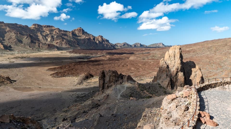
PNT 40 is a 3.0-mile point-to-point walk from Mirador del Llano de Ucanca to Boca Tauce. It crosses the broad plain along the western edge of the Las Cañadas caldera, with volcanic walls and lava fields around you rather than a summit climb. Allow about two hours. It's a good choice if you want to walk across the high caldera floor and can arrange your own return.
Parkwolf’s verdictIs this the hike for you?

Map & elevation

The route

Loading the Teide map
Full map
Elevation2,009–2,037 m
TrailheadMirador del Llano de Ucanca28.21146, -16.63495
Keep this map with you offline in the Parkwolf app

Plan your hike

Before you go

Parking

Start at Mirador del Llano de Ucanca on TF-21 near km 48.8; parking is very limited and there are no services in the immediate area. Finish at Boca Tauce viewpoint near km 53.1, where parking is also limited. Arrange a pickup or check the current TITSA 342 service at Boca Tauce (stop 7682) before relying on it.


Safety

This route stays around 2,000 metres above sea level and is marked inaccessible to people with reduced mobility. It is point-to-point rather than a loop, so plan the return before starting.

3 active Teide alerts

  • CautionActive wildfire risk and preventive measuresTenerife ON currently lists wildfire risk and preventive wildfire measures; check the live restrictions before visiting Teide National Park.Official details
  • CautionNo smoking in Teide National ParkSmoking is prohibited throughout Teide National Park as a preventive measure against forest fires.Official details
See all 3 alerts
A park ranger sits on a dash-mounted phone, talking, as Parkwolf’s Tour Guide plays “Army Cutworm Moths: A Grizzly Bear Buffet” on Grand Loop Road below Dunraven Pass in Yellowstone
Parkwolf Tour GuideThe highest, rockiest slopes around here are a summer buffet for grizzly bears.

Teide Tour Guide

Your drive to PNT 40 Llano de Ucanca to Boca Tauce Trail, narrated.

Parkwolf is a GPS audio tour guide for Teide National Park. As you drive, it chimes in with what’s ahead: hidden gems, upcoming stops, history, geology, and wildlife, right through your car’s speakers.

Recorded for this trailhead

Llano de Ucanca and La Catedral
0:00 / 0:31
“Llano de Ucanca Viewpoint is coming up, looking across the park's largest flat cañada toward Teide and Pico Viejo. I'd stop here for the scale of the landscape; you don't need a hike to enjoy it.”

Plays as you drive up to this trailhead in the Parkwolf Teide Tour Guide.

More stories near here in the app

  • Los Azulejos: The Colored Rocks
  • A Lizard at a Flower
  • Roques de García and La Ruleta
  • Cañada Blanca and the Parador
  • 39 audio storiesacross Teide’s roads, triggered by GPS as you drive
  • Wildlife heatmapsfor Short-finned Pilot Whale, Tenerife Lizard, West Canary Skink, and 10 more
  • Works offlinemaps, 62 trails, 49 places, and audio download before you lose signal
  • CarPlay readysimple controls built for the drive
★★★★★
“Fantastic app with many points of information… It’s great to just turn on while you’re driving and it gives you an audio tour of the national Park. We love it!!!!”
JMJamesApp Store review
Download Parkwolf on the App StoreGet Parkwolf on Google Play

4.7 from 8,600+ ratings

Trail guide

Hiking PNT 40 Llano de Ucanca to Boca Tauce Trail

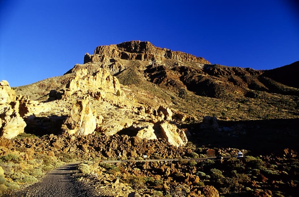
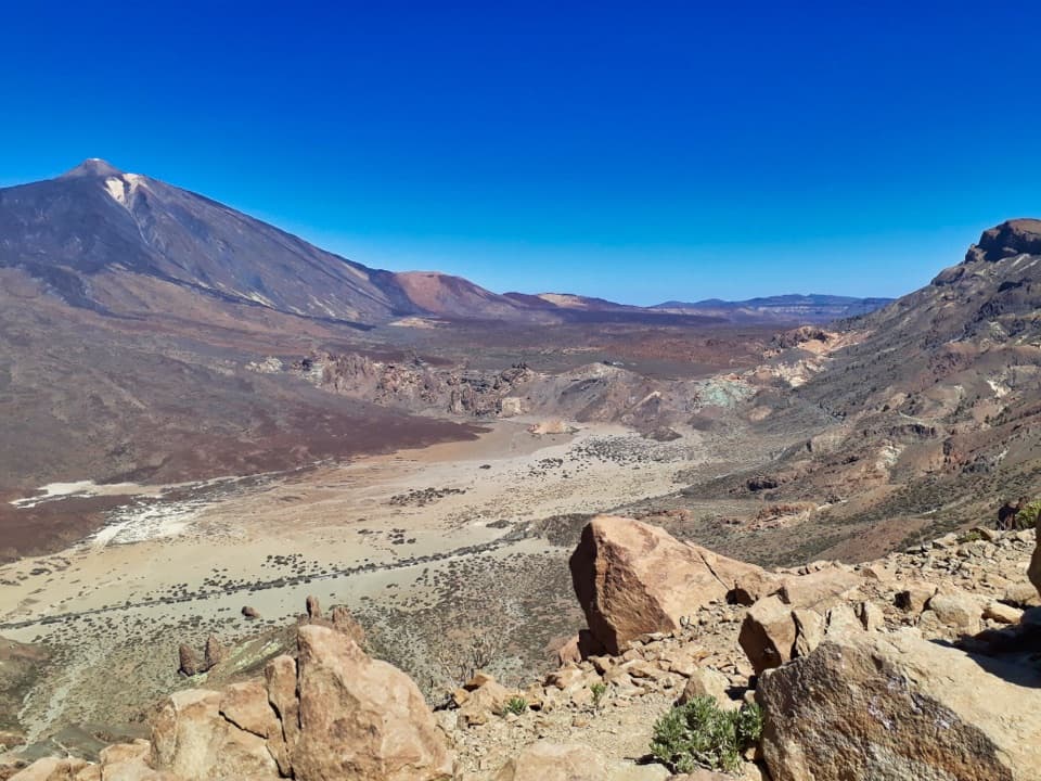
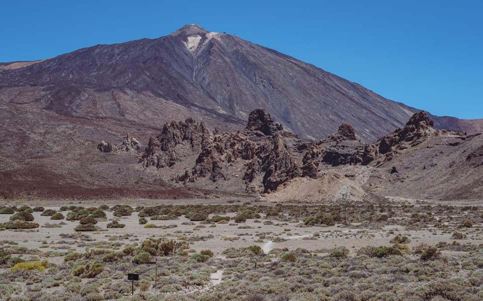
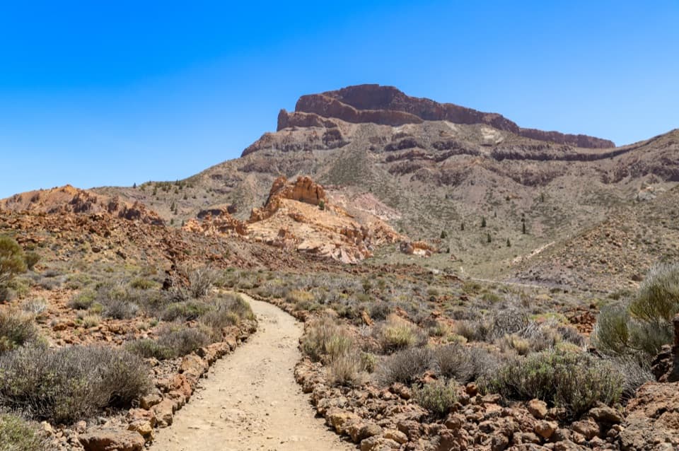
Across the caldera floorThe waymarked PNT-40 line runs west from the Llano viewpoint across open plains and lava fields.

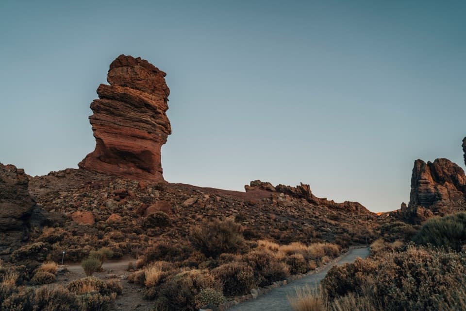
The waymarked PNT-40 line runs west from the Llano viewpoint across open plains and lava fields. The route gains about 74 metres and loses about 56 metres over 4.83 kilometres, staying around 2,006–2,037 metres above sea level. It's classed as an easy walk, but it is not accessible to people with reduced mobility. The scenery is the basin and its volcanic edges, not a long climb to a single summit.

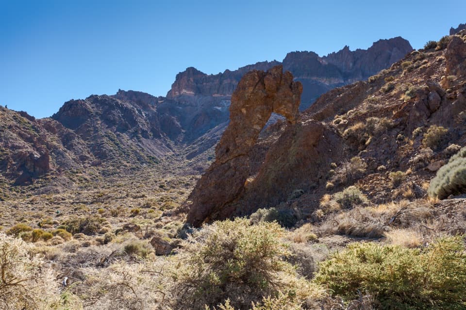
Look for La Zapatilla de la ReinaOne of the route's named landmarks is La Zapatilla de la Reina, a rock formation with the…

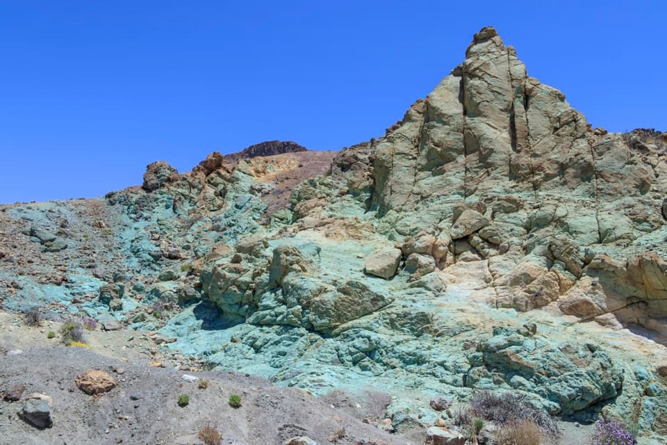
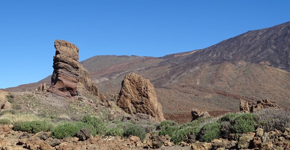
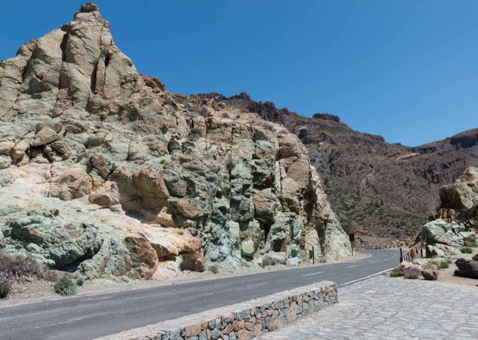
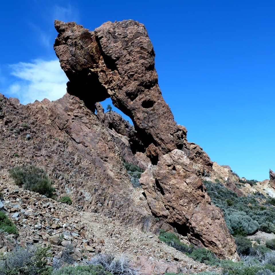
One of the route's named landmarks is La Zapatilla de la Reina, a rock formation with the outline of a high-heeled shoe. It gives you a recognizable feature to look for while crossing the broad landscape. At the eastern end, the Llano viewpoint looks across the basin toward the colored cliffs of Los Azulejos; Boca Tauce is another viewpoint at the western finish.

Plan the finishStart at Mirador del Llano de Ucanca on TF-21 near km 48.

Start at Mirador del Llano de Ucanca on TF-21 near km 48.8 and finish at Boca Tauce viewpoint around km 53.1. Parking is very limited at the start and limited at the finish, and there are no services near the starting viewpoint. This is not a loop: arrange a pickup, check the bus from Boca Tauce, or turn back for about 9.7 kilometres total. No reservation is required for the route.

Wildlife

Wildlife in Teide

All Teide wildlife maps

Sighting maps show where each species has been reported across Teide. Wildlife moves, so no sighting is guaranteed.

Keep exploring

Near PNT 40 Llano de Ucanca to Boca Tauce Trail

See it all on the map

Trails that start nearby

Places near the trailhead

Parkwolf’s Teide ranking

Top-rated trails in Teide

All 62 trails
  1. 1Telesforo Bravo Trail (PNT 10)Challenging · 1.4 km
  2. 2PNT 03 Roques de García LoopModerate · 3.5 km
  3. 3Alto de Guajara Summit LoopChallenging · 11.1 km
  4. 4Mirador de Pico Viejo Trail (PNT 12)Moderate · 1.5 km
  5. 5PNT 07 Montaña Blanca–La Rambleta TrailChallenging · 8.3 km
  6. 6Sámara Loop TrailModerate · 4.6 km

Take Parkwolf to Teide.

The audio tour guide for the drive, plus offline maps, trails, and wildlife heatmaps for when the signal drops.

4.7 from 8,600+ ratings

Download Parkwolf on the App StoreGet Parkwolf on Google Play